Elevation of Pine Forest Rd NE, Copper Hill, VA, USA
Location: United States > Virginia > Floyd County > Locust Grove > Copper Hill >
Longitude: -80.161203
Latitude: 37.106965
Elevation: 827m / 2713feet
Barometric Pressure: 92KPa
Elevation Map:
Satellite Map:
Related Photos:
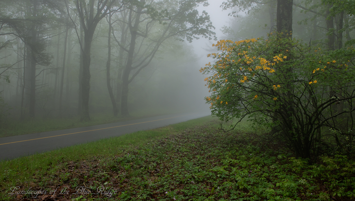
Flame in the Fog

Two Roads Diverged in a Wood

Summer Corn

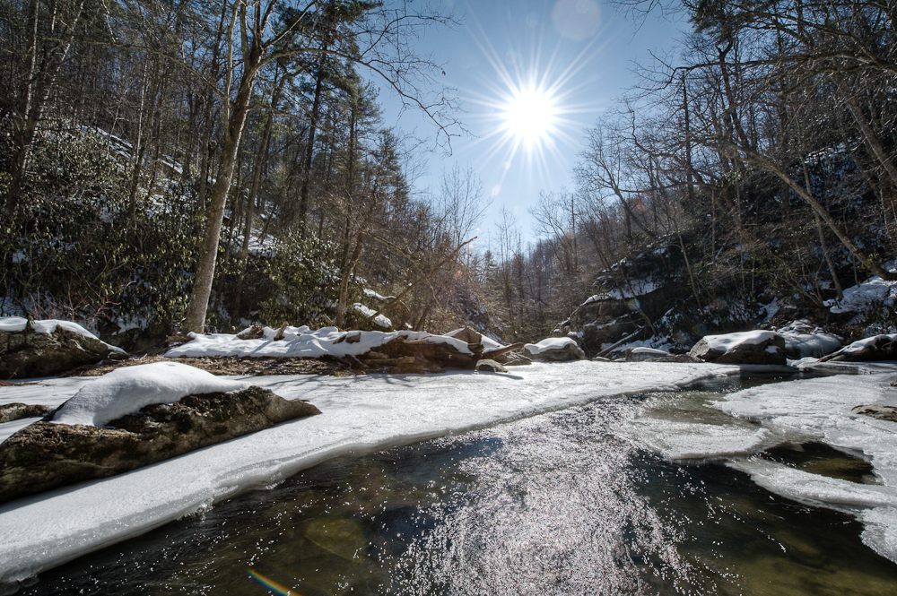
River's Edge

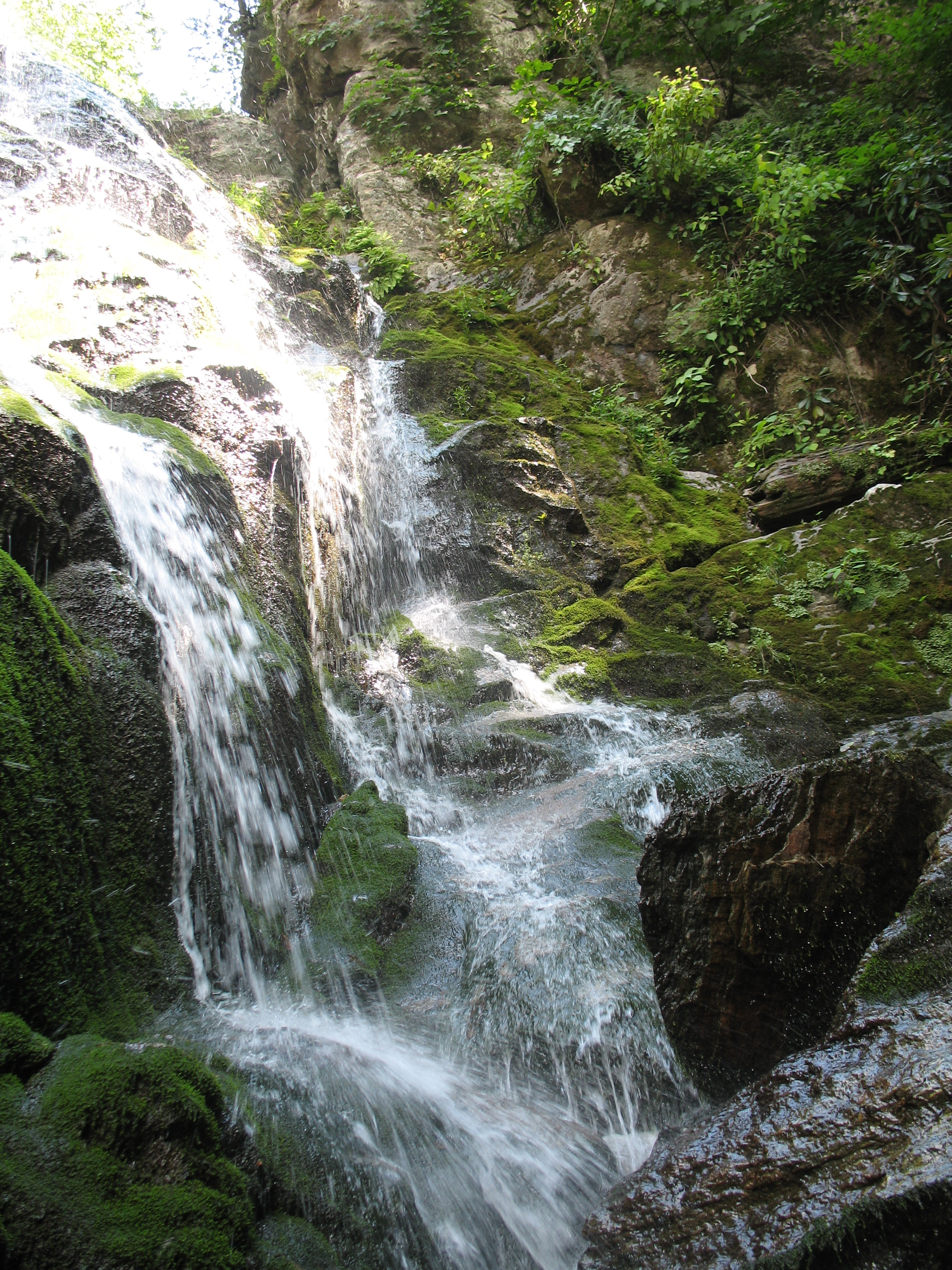
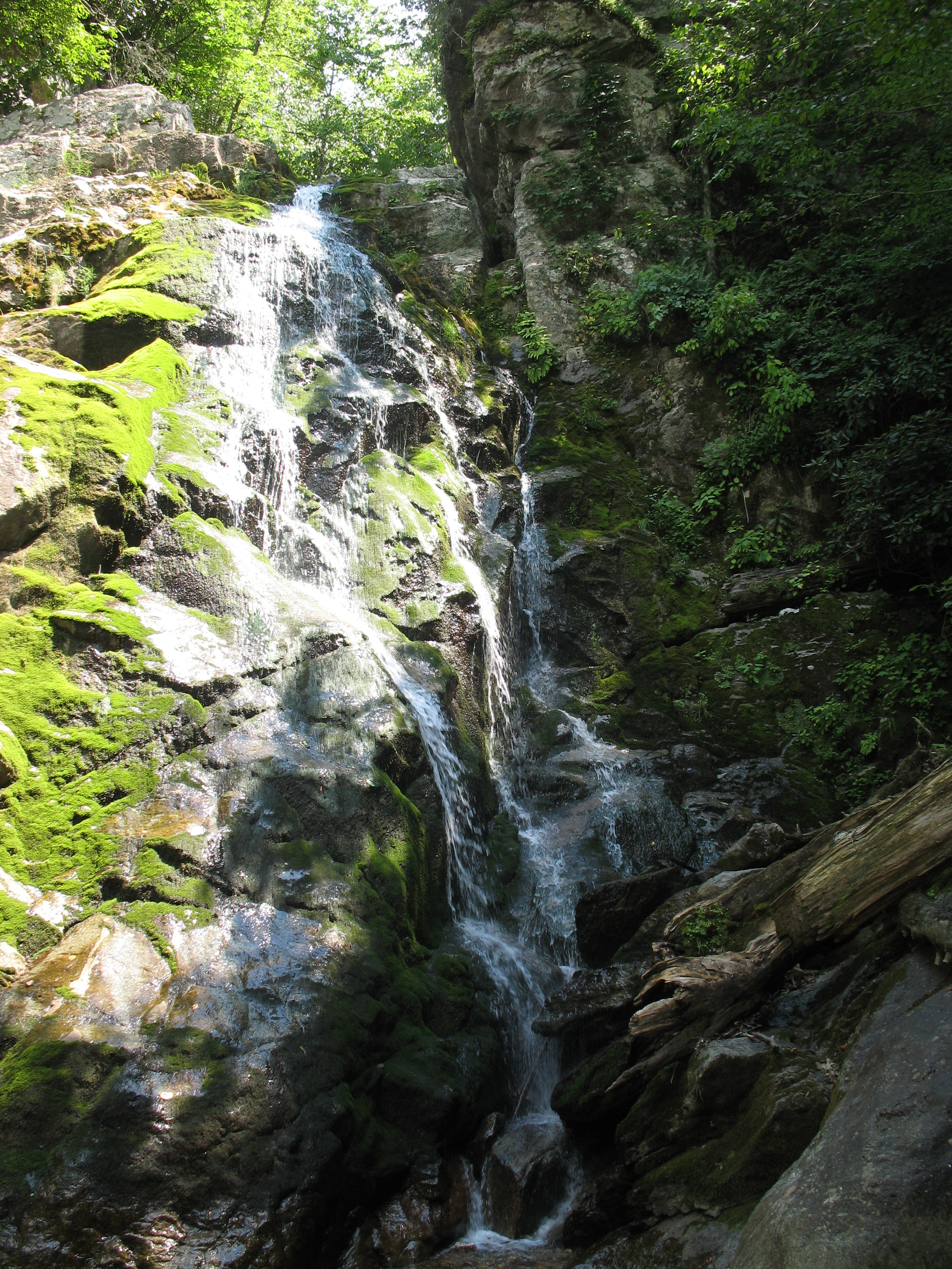
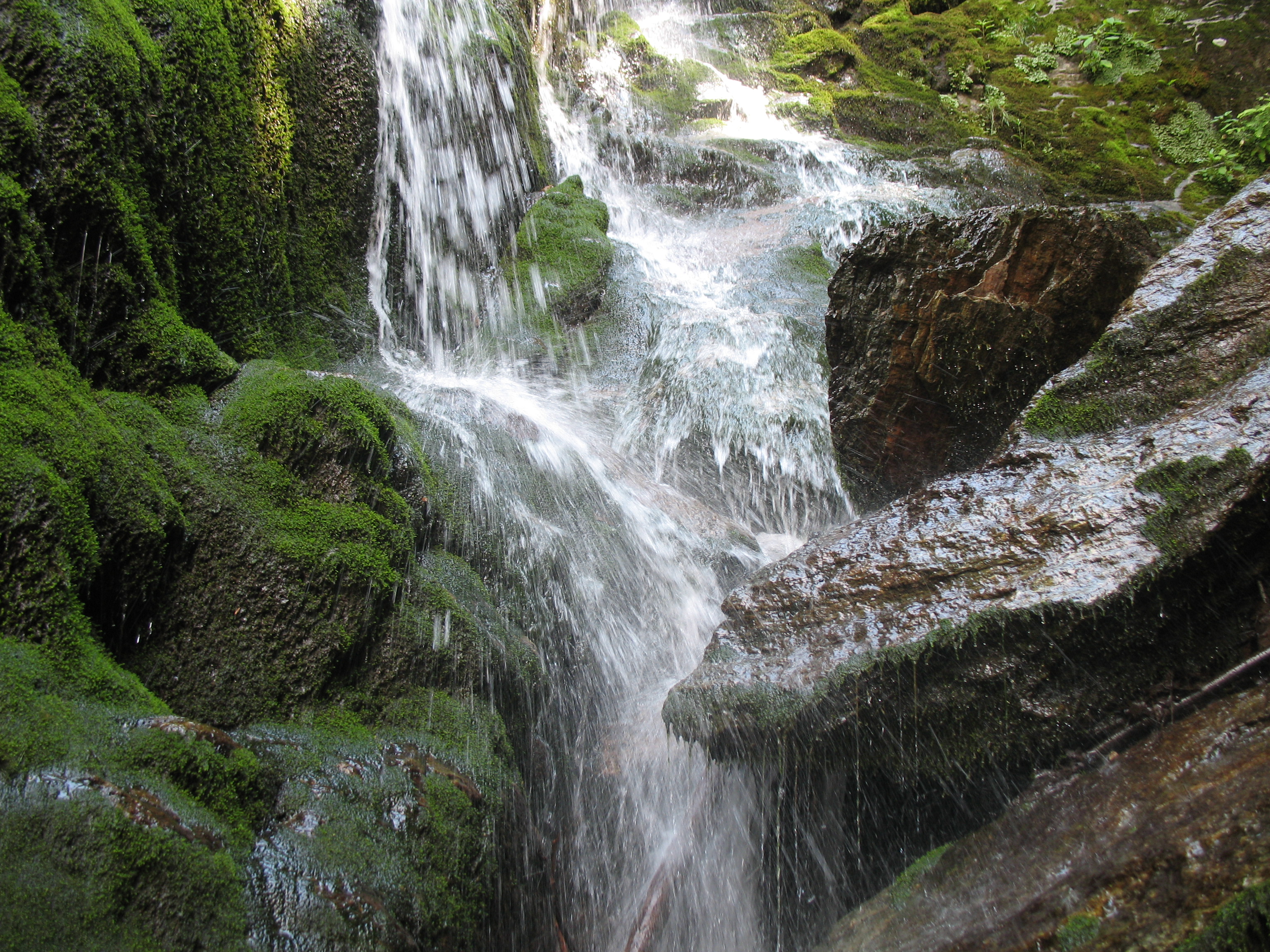
Splash Damage
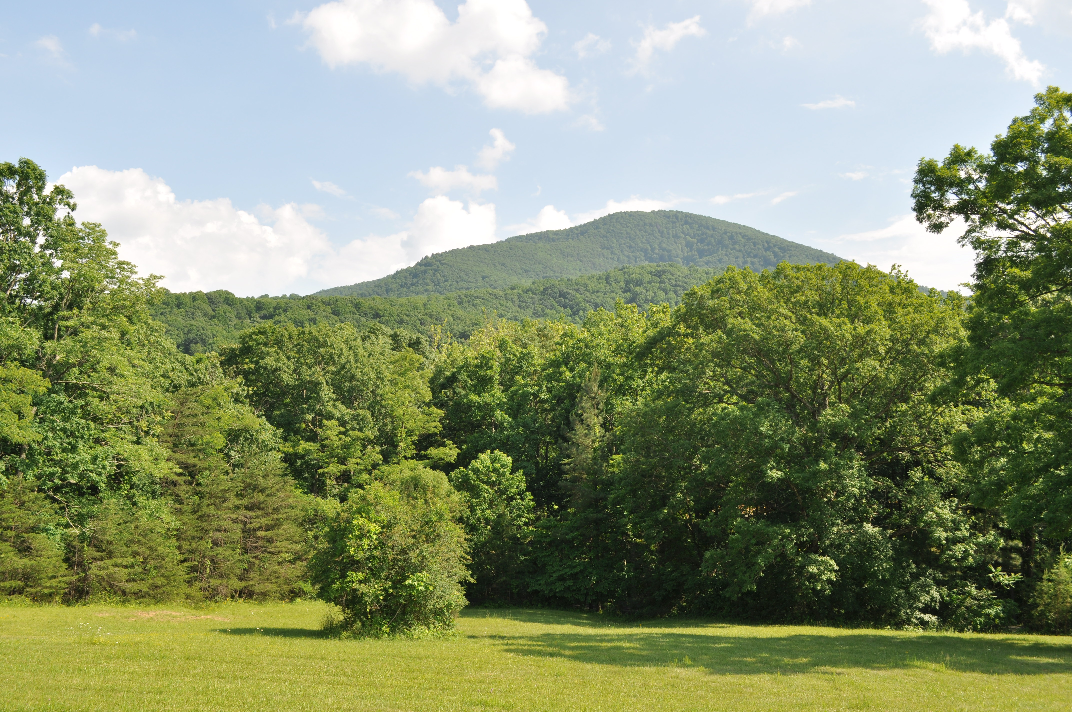
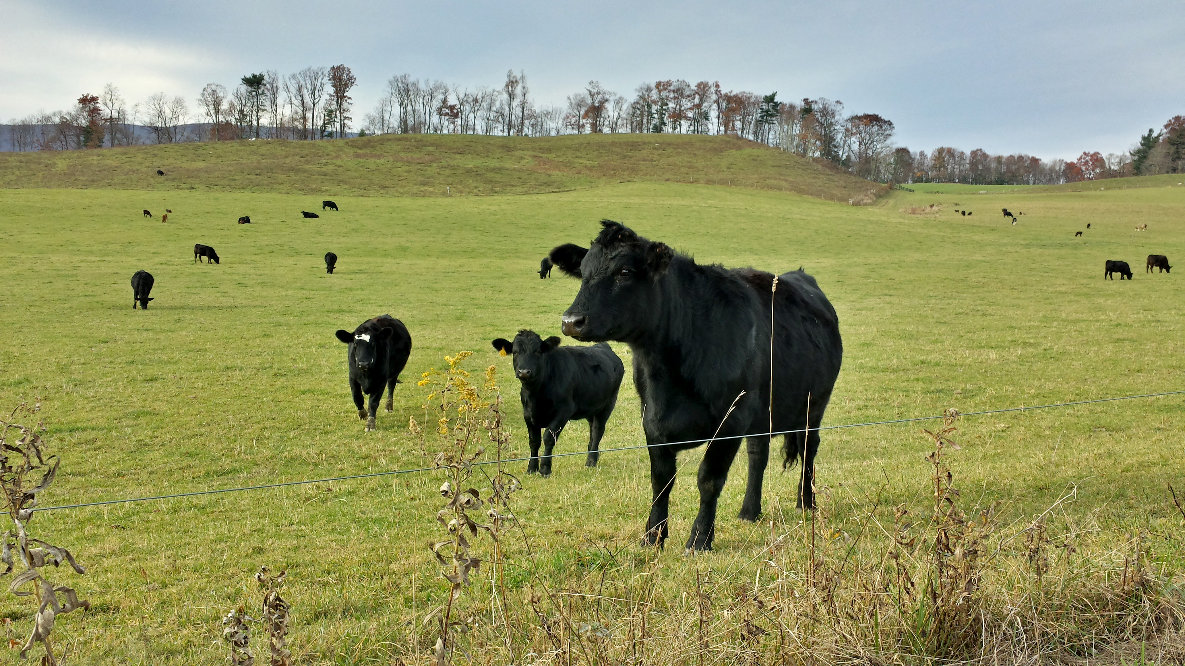
Franklin County Pasture

Elliston Straight Stretch
3059 View Devils Backbone Img_14220
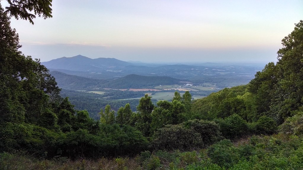
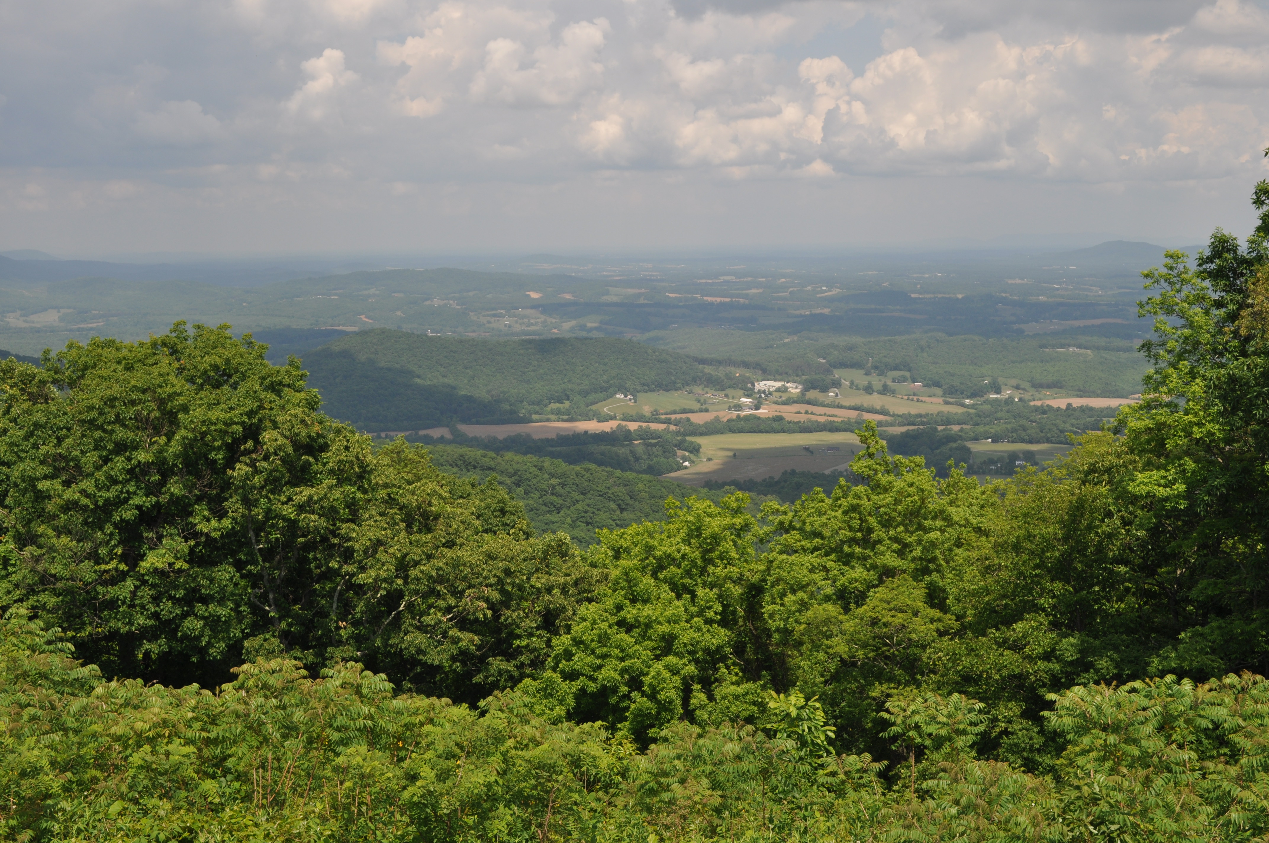
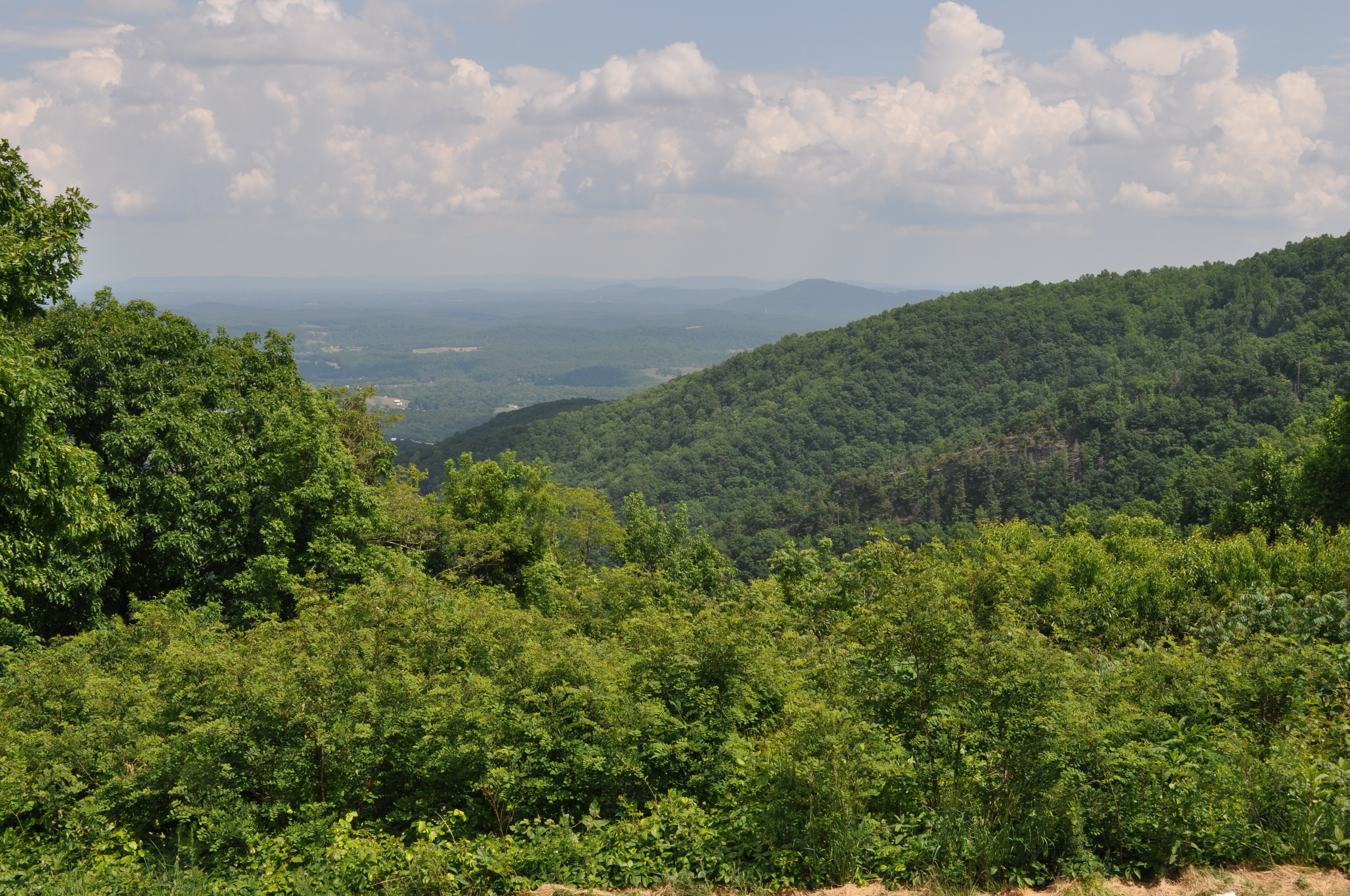
View from Pine Spur overlook
3058 View Devils Backbone Img_14219

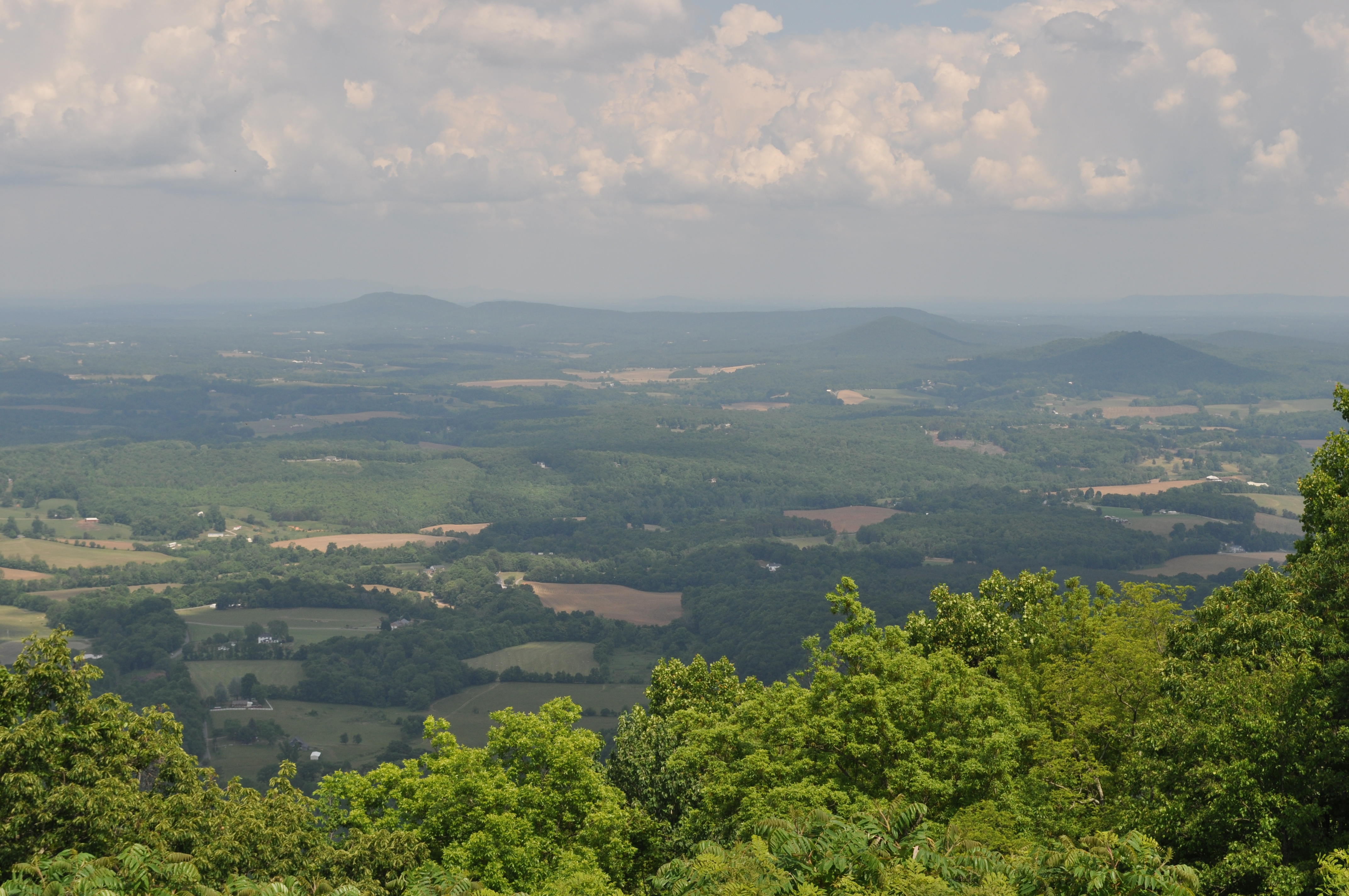
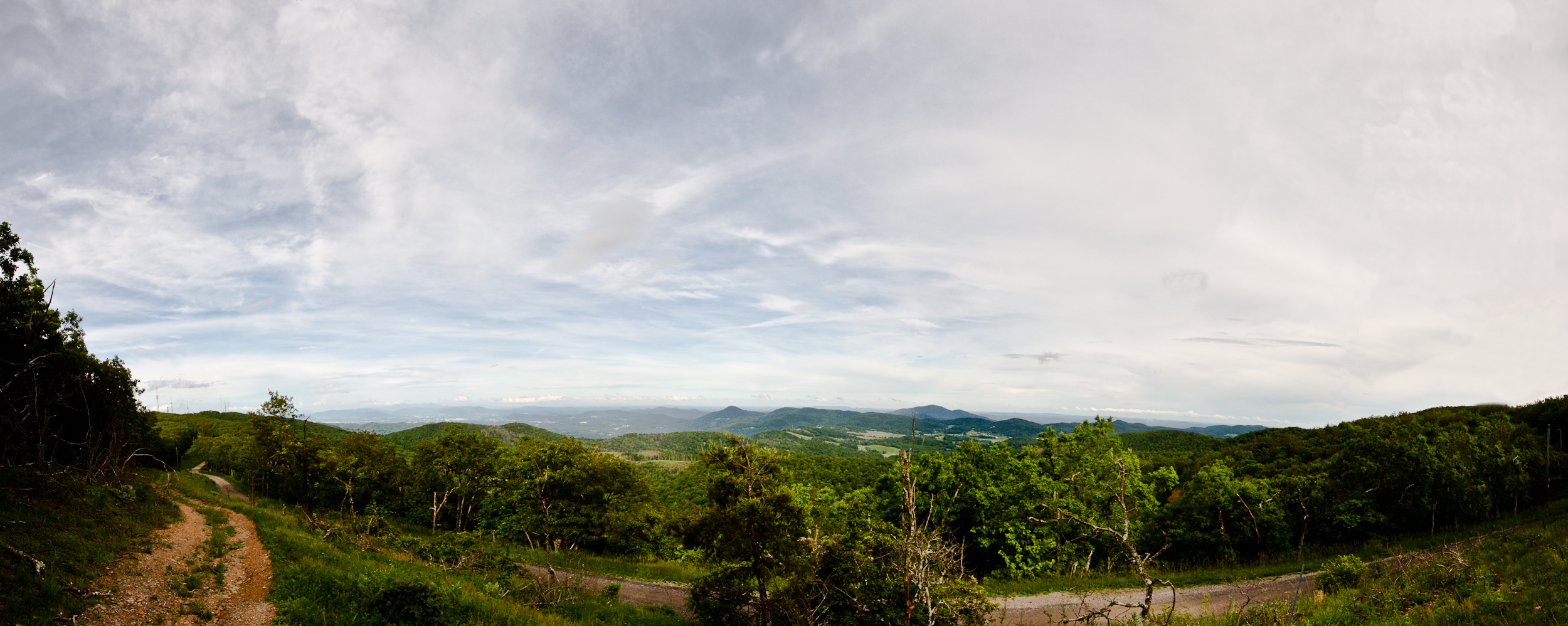
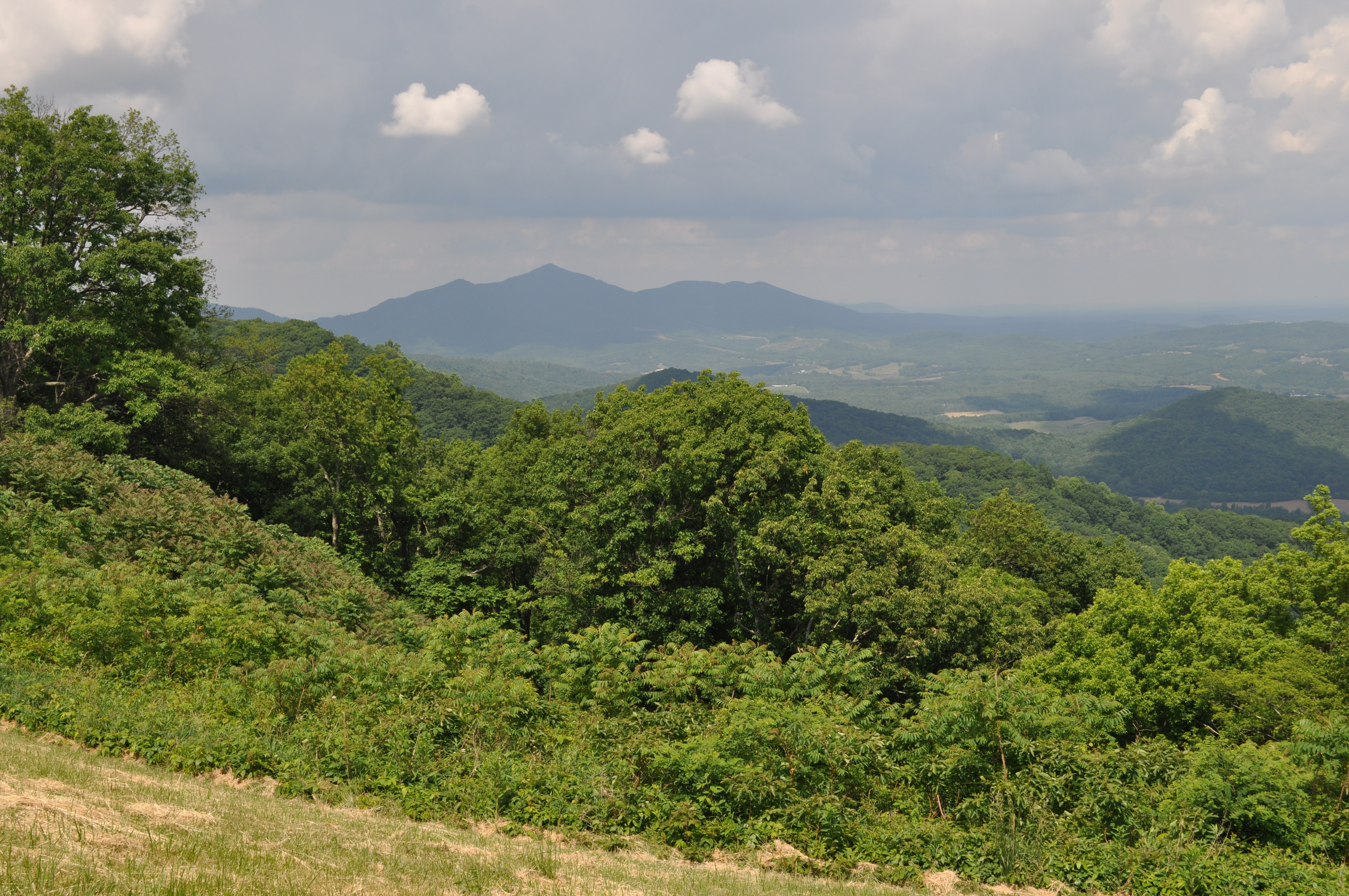
View from the Top
Roanoke Valley from SE side of Poor Mountain (poles and lines removed.)
Roanoke from Blueridge Parkway
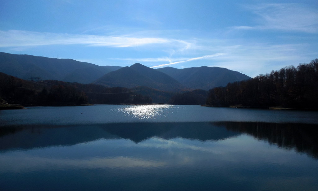
View from Spring Hollow Dam
3056 View Devils Backbone Img_14217
3057 View Devils Backbone Img_14218
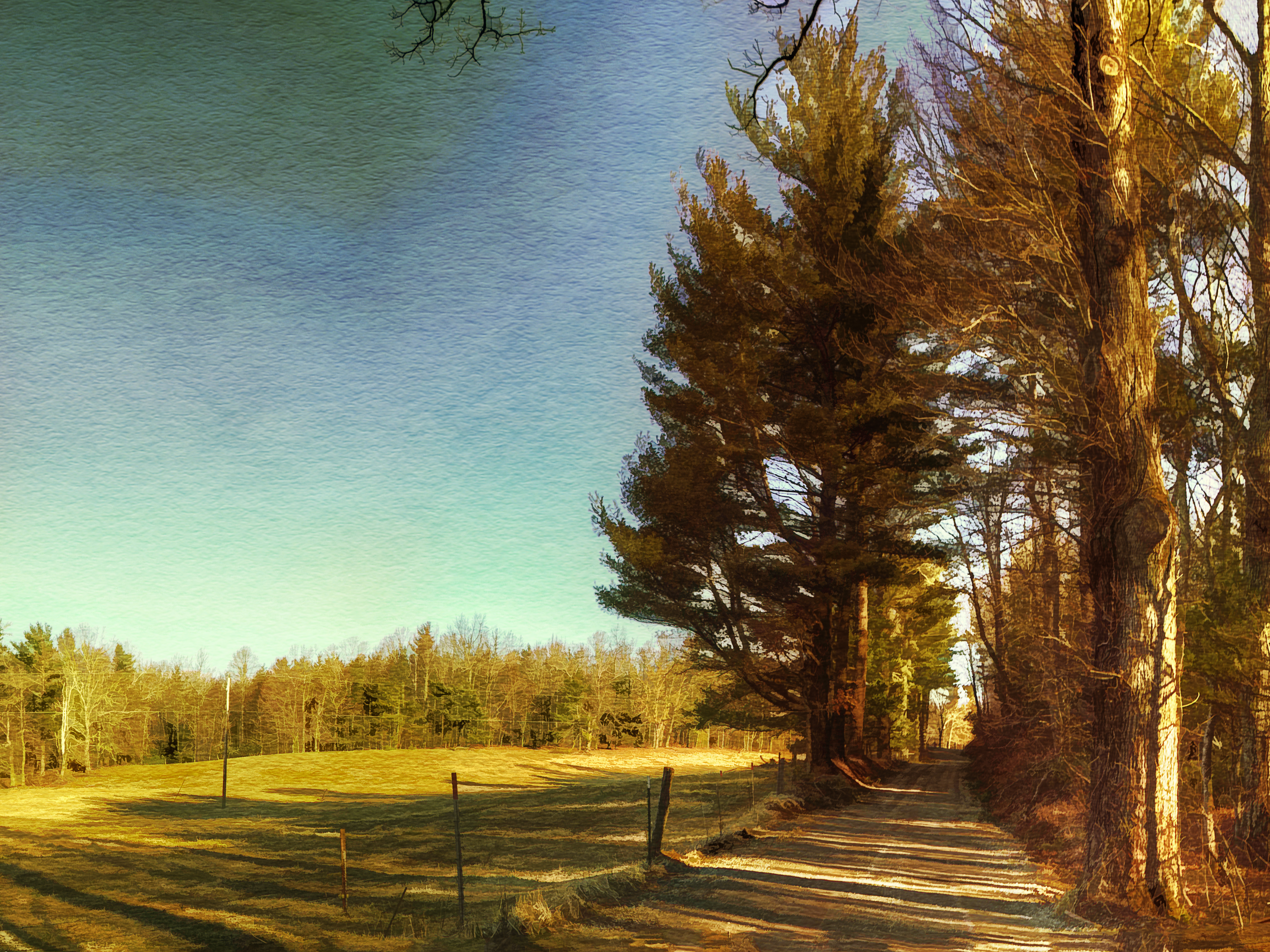
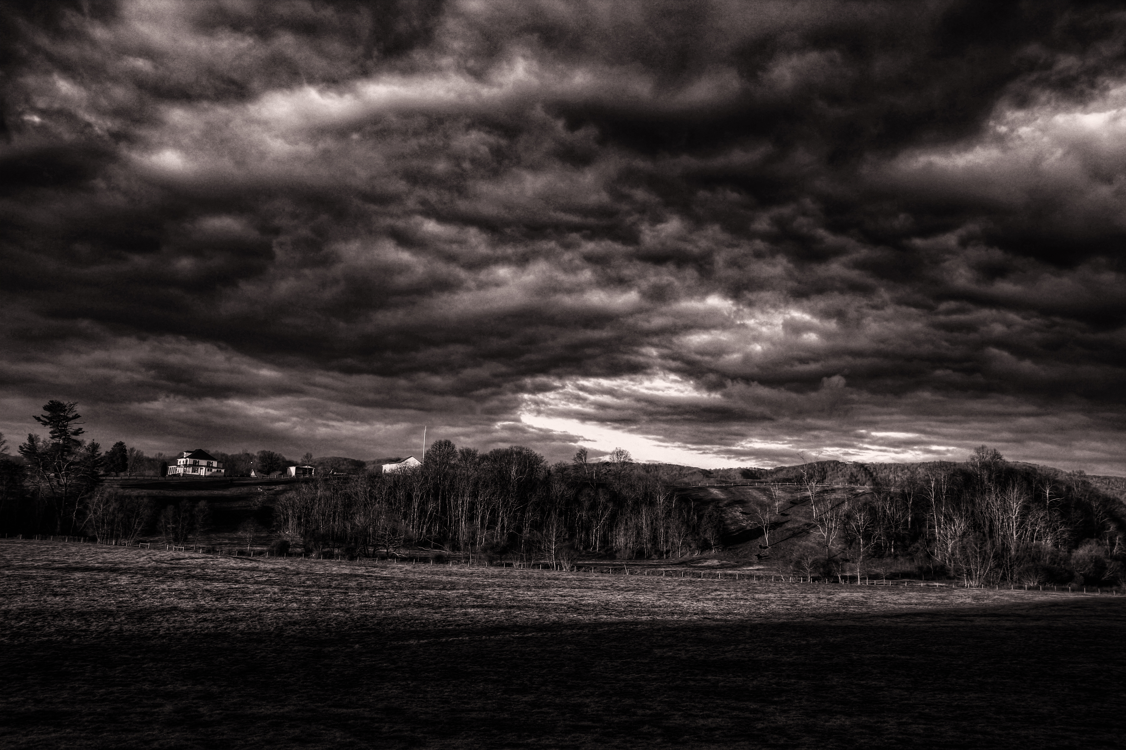
Going Home
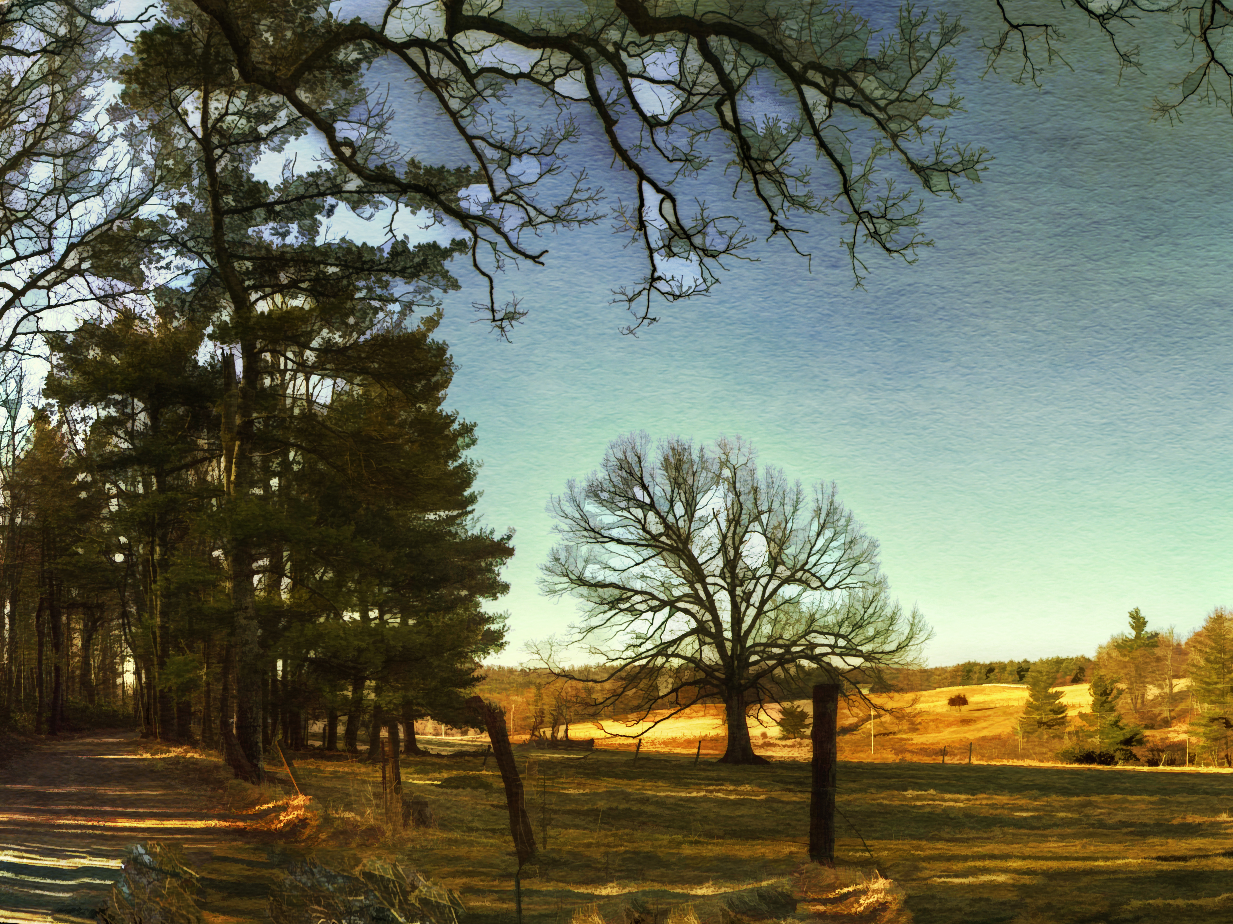
Winter Road
3118 View Masons Knob Img_14279
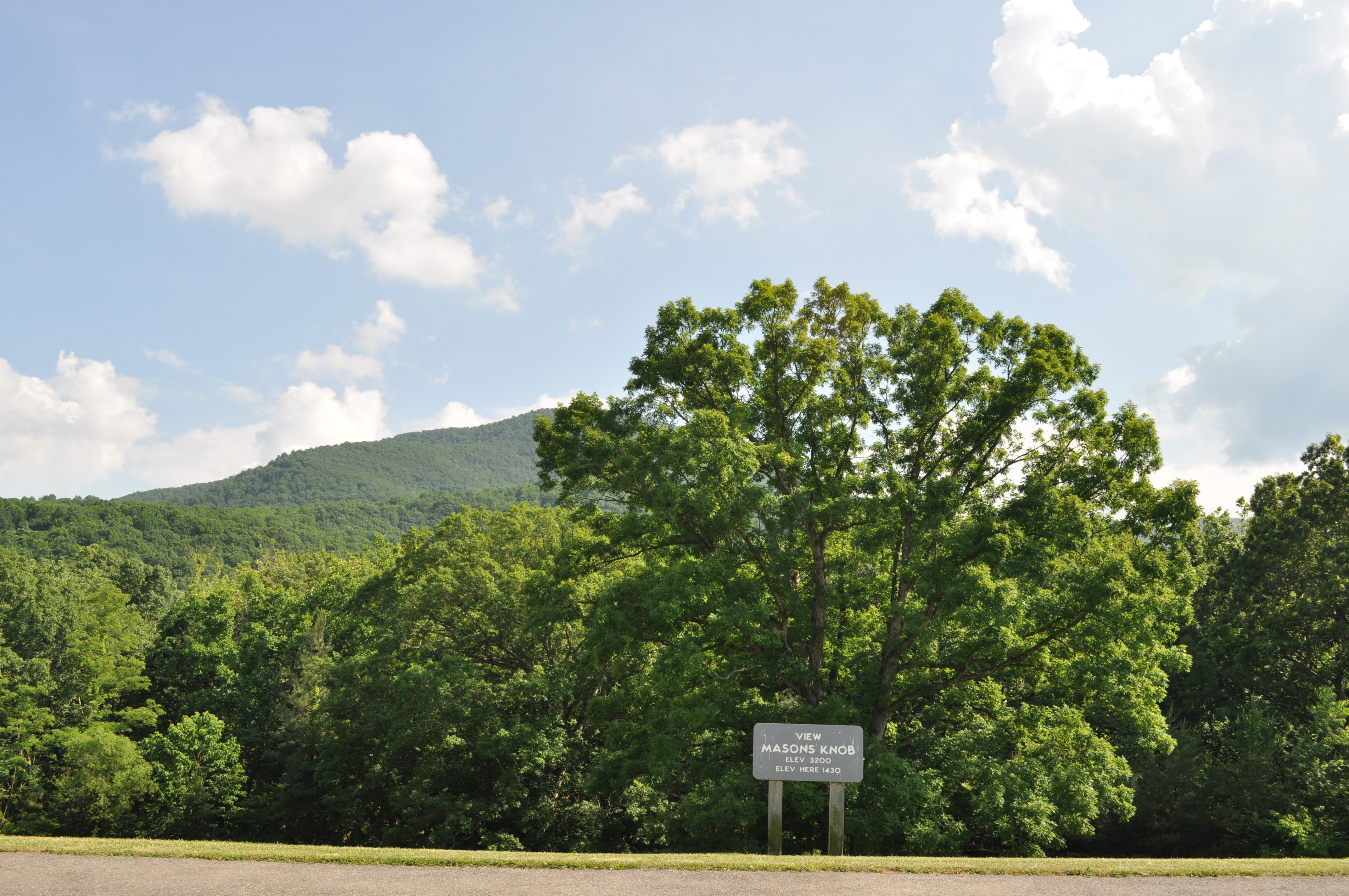
3117 View Masons Knob Img_14278

Early Spring on the N&W
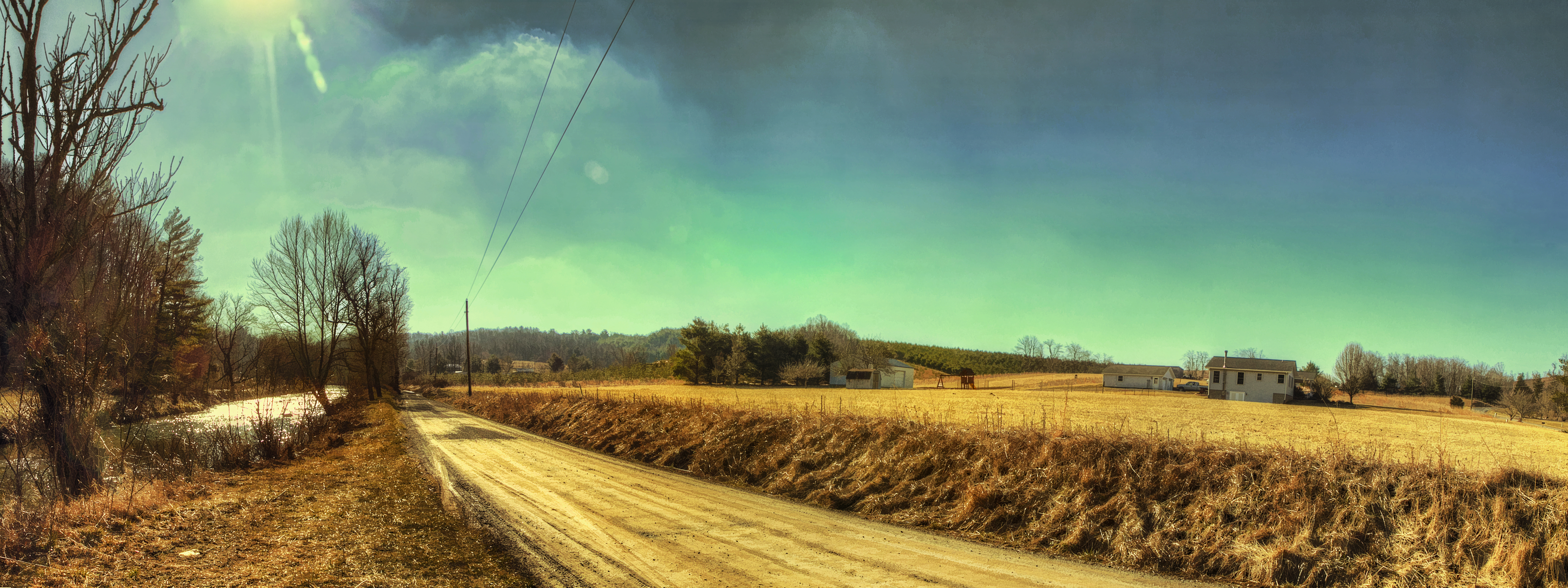
River Road

Farm House in December
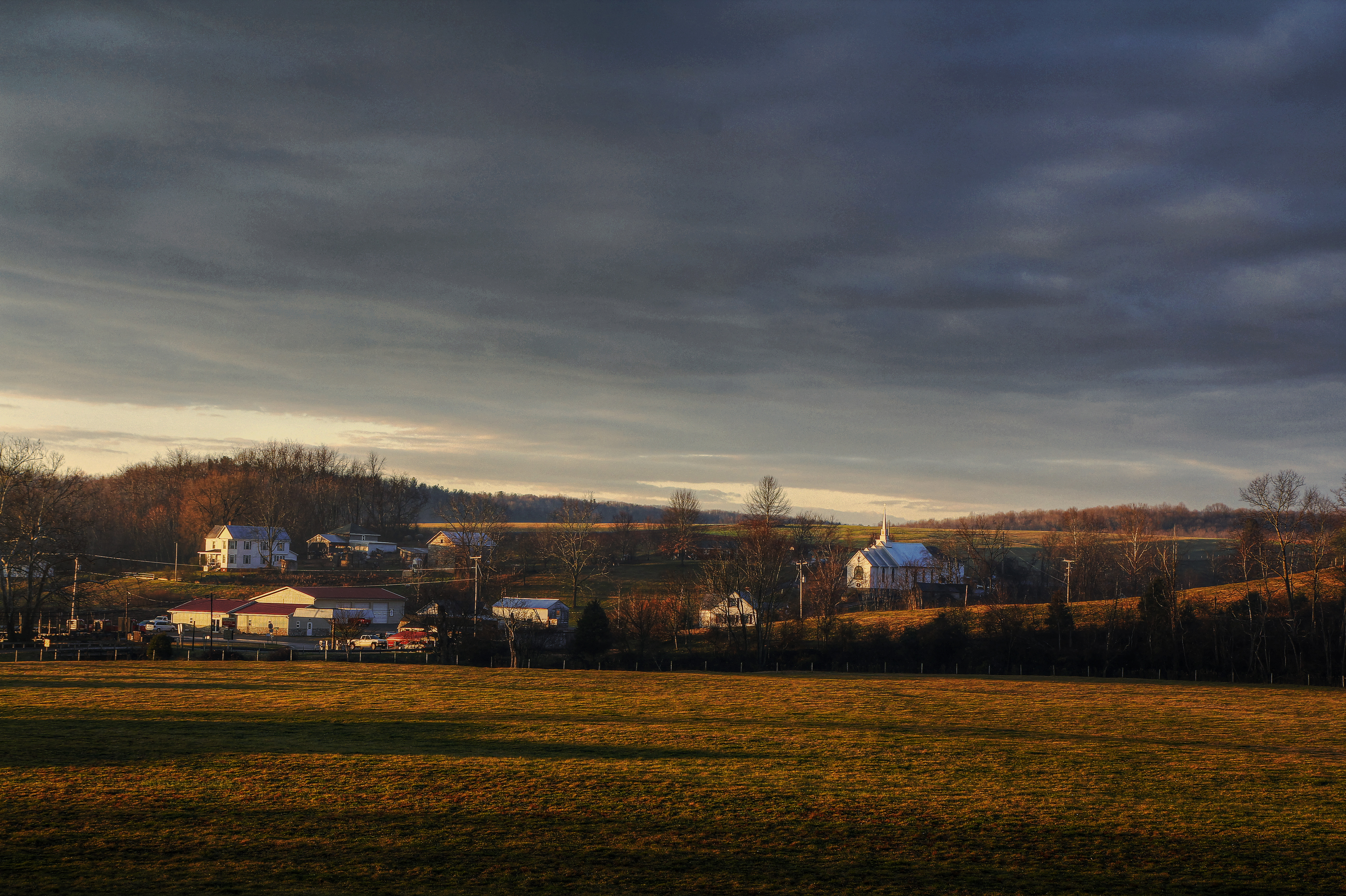
Callaway Village
Bottom Creek Gorge

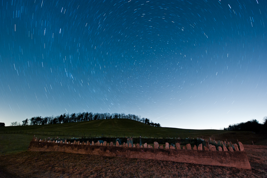
Milky Way Sonic Clear

Blue Ridge Parkway Sky
Time in the Dark
Rake, Bale, Repeat

Circles all the way down.

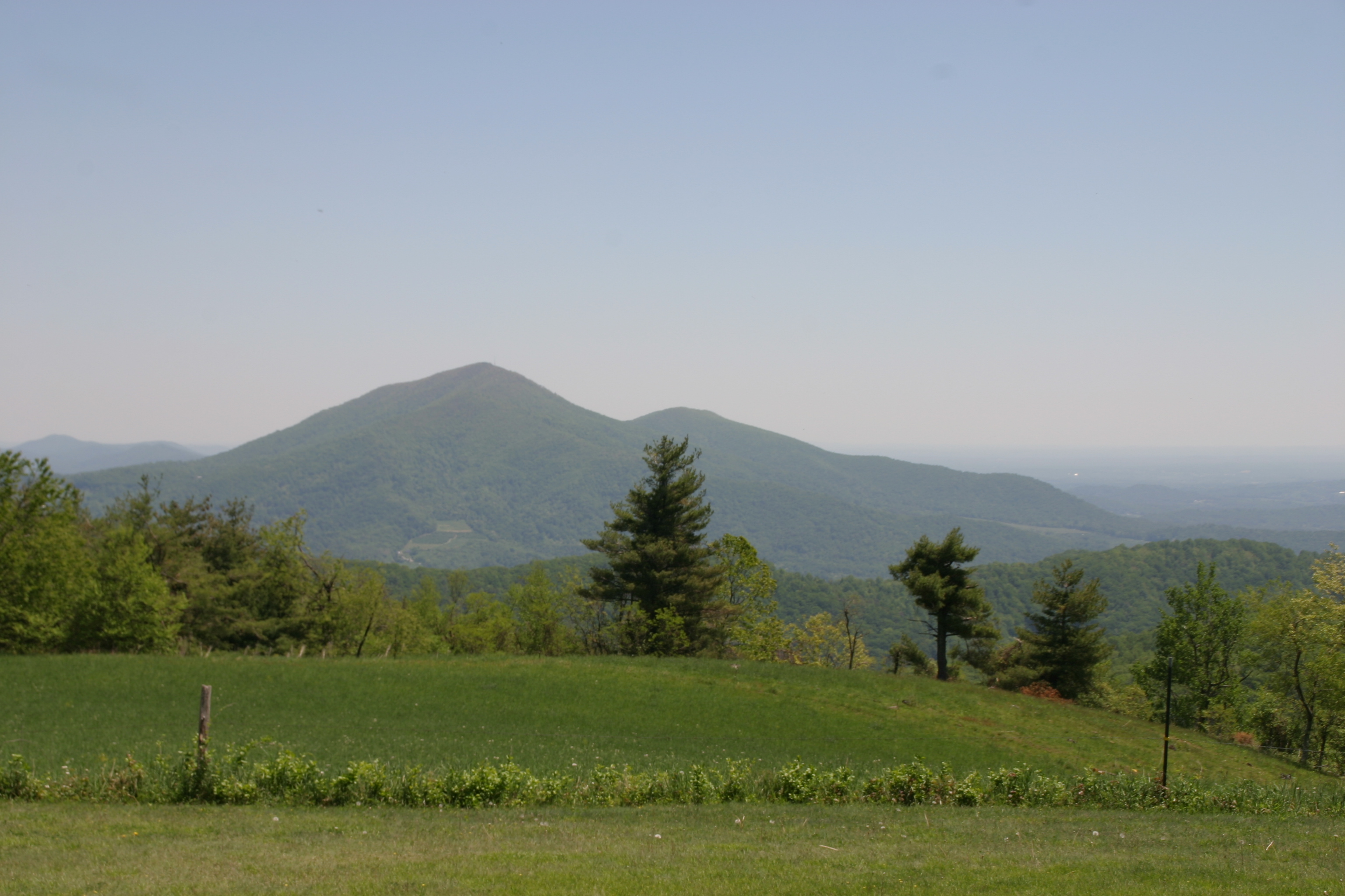
Cahas Mountain Overlook

Raise the roof
IMG_1664.jpg
IMG_1660.jpg

5-SpringHollowReservoir
2013.11.04_ZAD09
2-SpringHollowReservoir
Blue Ridge Parkway (77)
IMG_1663.jpg
Topographic Map of Pine Forest Rd NE, Copper Hill, VA, USA
Find elevation by address:

Places near Pine Forest Rd NE, Copper Hill, VA, USA:
9548 Patterson Dr
1612 Willis Hollow Rd
Willis Hollow Road
757 Dark Run Rd
2324 Willis Hollow Rd
751 Hancock Rd
Duke Lane
Duke Lane
Shawsville
C-01
Cove Hollow Road
Fishers View Road
Fishers View Road
Fishers View Road
Elliston
Rowe Furniture Inc
Gardner St, Elliston, VA, USA
Dixie Caverns Auto Parts Inc
6953 Campbell Dr
Dixie Caverns & Pottery Inc
Recent Searches:
- Elevation of Corso Fratelli Cairoli, 35, Macerata MC, Italy
- Elevation of Tallevast Rd, Sarasota, FL, USA
- Elevation of 4th St E, Sonoma, CA, USA
- Elevation of Black Hollow Rd, Pennsdale, PA, USA
- Elevation of Oakland Ave, Williamsport, PA, USA
- Elevation of Pedrógão Grande, Portugal
- Elevation of Klee Dr, Martinsburg, WV, USA
- Elevation of Via Roma, Pieranica CR, Italy
- Elevation of Tavkvetili Mountain, Georgia
- Elevation of Hartfords Bluff Cir, Mt Pleasant, SC, USA