Elevation of Pine Flat Dr, California Hot Springs, CA, USA
Location: United States > California > Tulare County > California Hot Springs >
Longitude: -118.64545
Latitude: 35.8707768
Elevation: 1161m / 3809feet
Barometric Pressure: 88KPa
Elevation Map:
Satellite Map:
Related Photos:

20160824-FS-LSC-0040

Kings Canyon, California USA

Baker Point

M45 and California Nebula

Kern River, Johnny McNally's CA 1998

Day 4-View from Dome Rock III

Gold Nymph
South View from CA Hot Springs

Lake View

The great canyon of the Kern
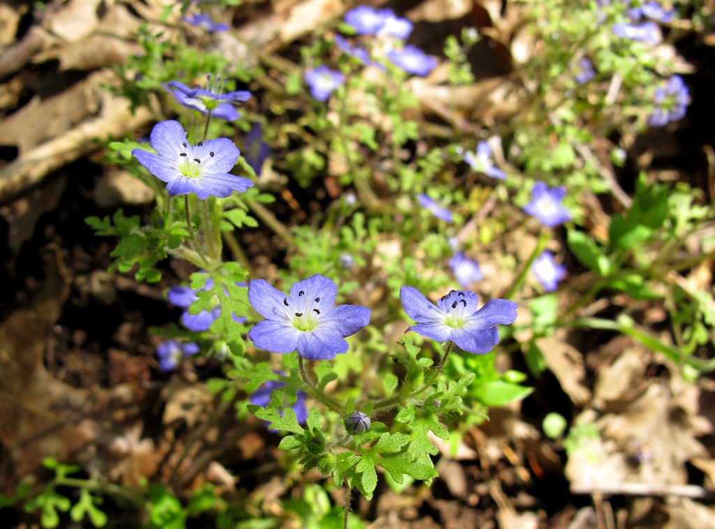
Blooming Blue Beauties

Day 4- View of Dome Rock

Day 4- View from Dome Rock I

Day 4- View from Dome Rock II

Around M105 With Labels

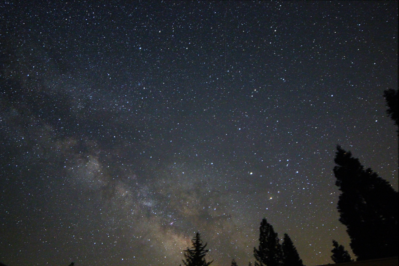
Southern Milky Way

Kern River Bridge, Johnny McNally's, CA 1998

The Road Less Traveled (Color)

1021-173125

0815-184657

1018-162220

0515-154132a

1018-155018

0510-090221

Overlook above the Kern

0606-200758

4-001

"Reflecting" on a beautiful weekend in the Kern Valley, Kernville

0826-170745

1020-094353

A canyon meets the desert

1007-133131

1007-133156

Kern River, CA 1998
Topographic Map of Pine Flat Dr, California Hot Springs, CA, USA
Find elevation by address:

Places near Pine Flat Dr, California Hot Springs, CA, USA:
Pine Flat Dr, California Hot Springs, CA, USA
43996 Pine Flat Dr
172 Rabbit Foot Trail
172 Rabbit Foot Trail
172 Rabbit Foot Trail
172 Rabbit Foot Trail
172 Rabbit Foot Trail
533 Rocking K Dr
533 Rocking K Dr
533 Rocking K Dr
533 Rocking K Dr
Manter Meadow Road
45306 Rocking K Dr
California Hot Springs
40587 Hot Springs Rd
Trail Of 100 Giants Trail
Kern River Hwy, Kernville, CA, USA
S Reservation Rd, Porterville, CA, USA
681 S Reservation Rd
Recent Searches:
- Elevation of Shibuya Scramble Crossing, 21 Udagawacho, Shibuya City, Tokyo -, Japan
- Elevation of Jadagoniai, Kaunas District Municipality, Lithuania
- Elevation of Pagonija rock, Kranto 7-oji g. 8"N, Kaunas, Lithuania
- Elevation of Co Rd 87, Jamestown, CO, USA
- Elevation of Tenjo, Cundinamarca, Colombia
- Elevation of Côte-des-Neiges, Montreal, QC H4A 3J6, Canada
- Elevation of Bobcat Dr, Helena, MT, USA
- Elevation of Zu den Ihlowbergen, Althüttendorf, Germany
- Elevation of Badaber, Peshawar, Khyber Pakhtunkhwa, Pakistan
- Elevation of SE Heron Loop, Lincoln City, OR, USA