Elevation of Pine Flat Dr, California Hot Springs, CA, USA
Location: United States > California > Tulare County > California Hot Springs >
Longitude: -118.65044
Latitude: 35.878006
Elevation: 1142m / 3747feet
Barometric Pressure: 88KPa
Elevation Map:
Satellite Map:
Related Photos:
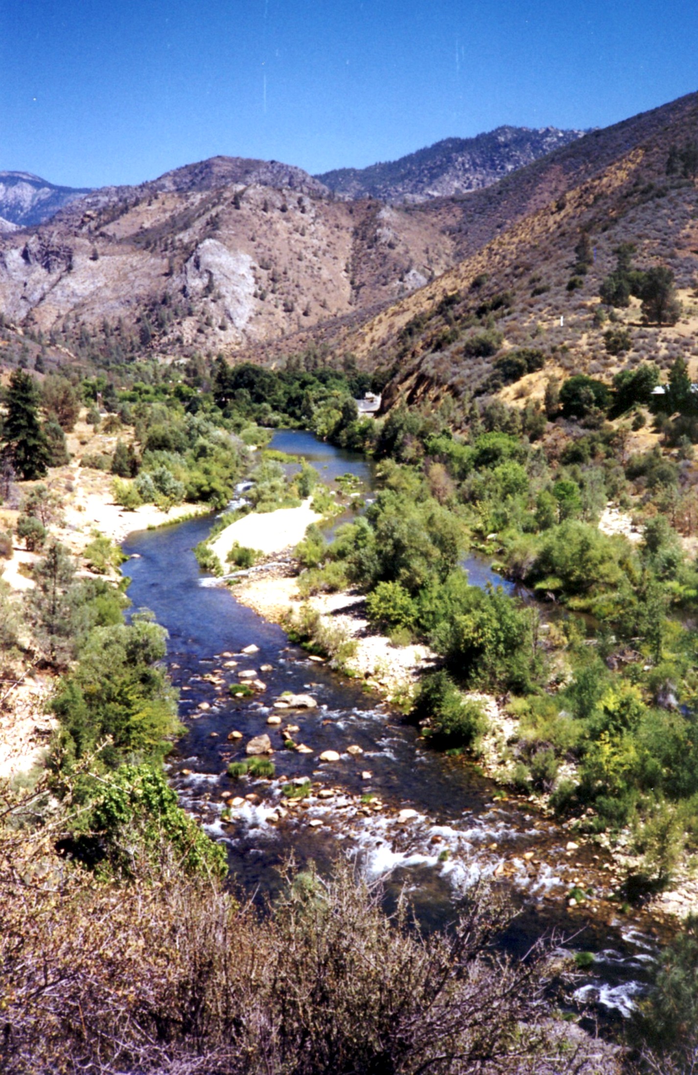
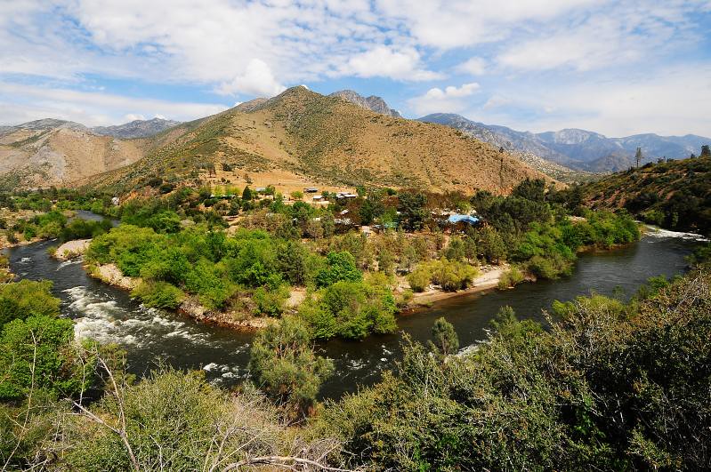
Kings Canyon, California USA
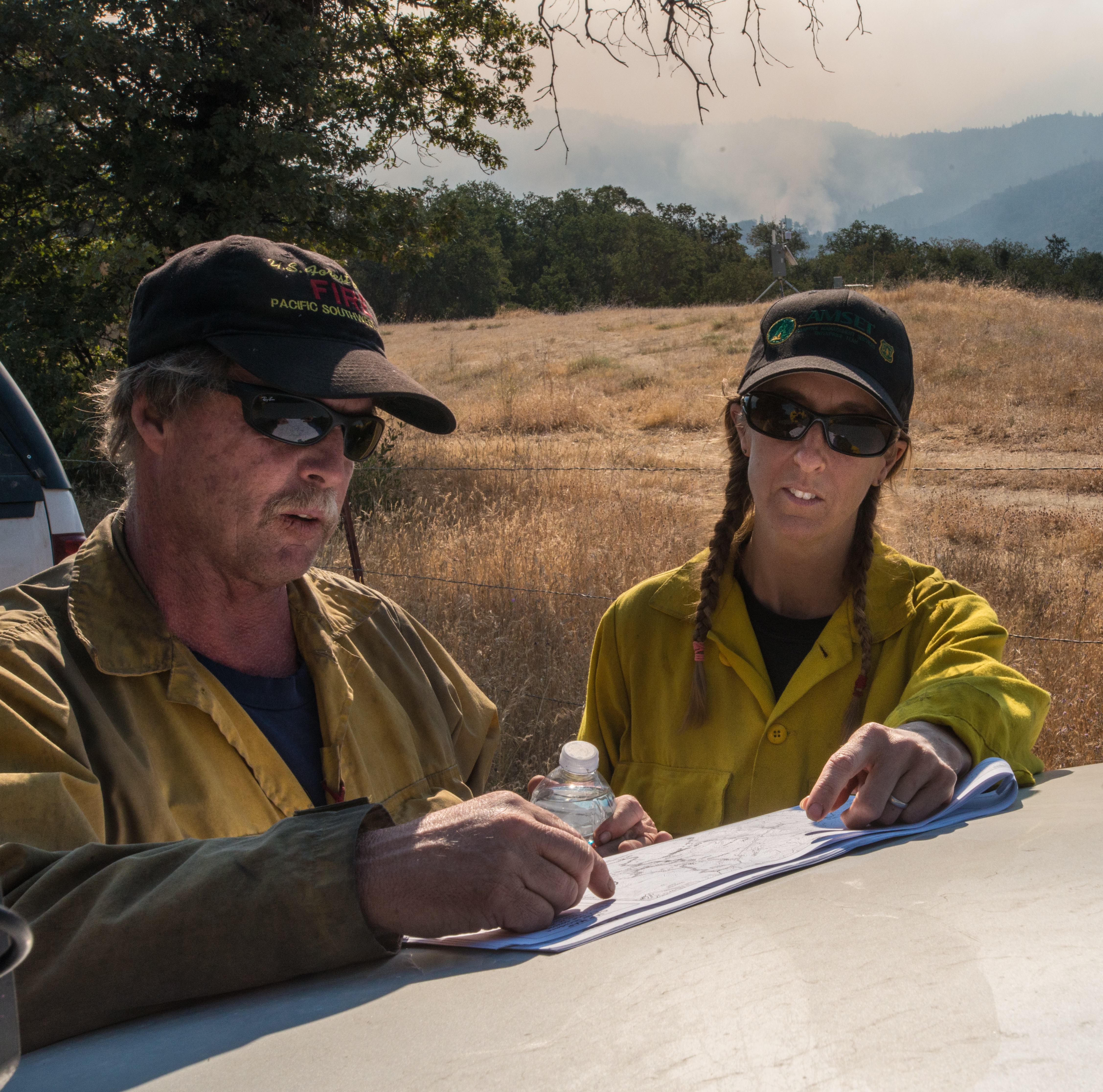
20160824-FS-LSC-0008
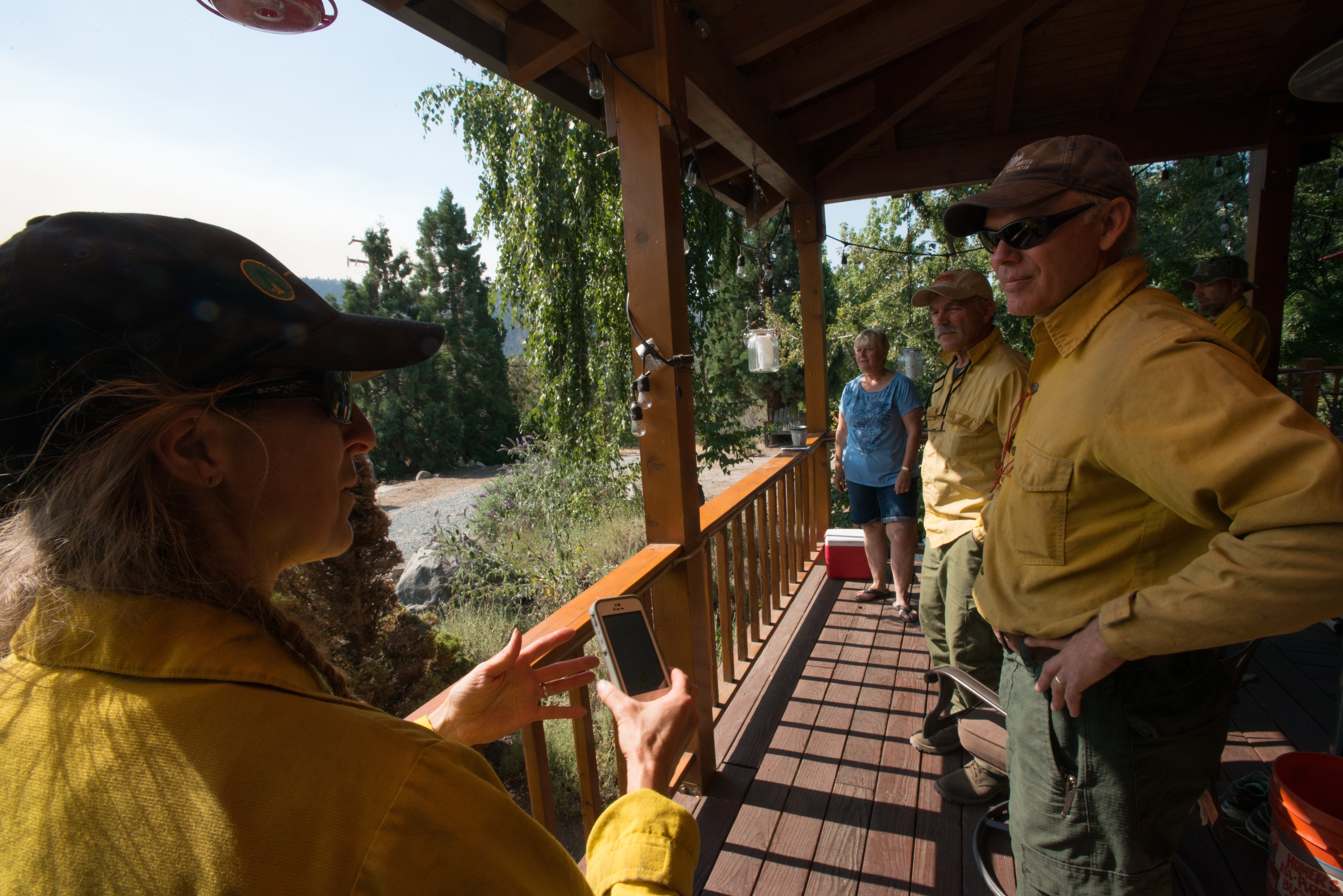
20160824-FS-LSC-0040
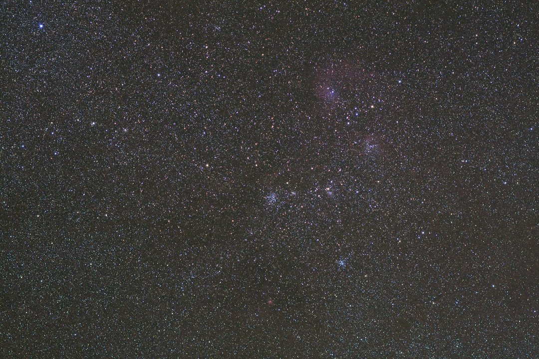
M38 Widefield
Kern River, Johnny McNally's CA 1998
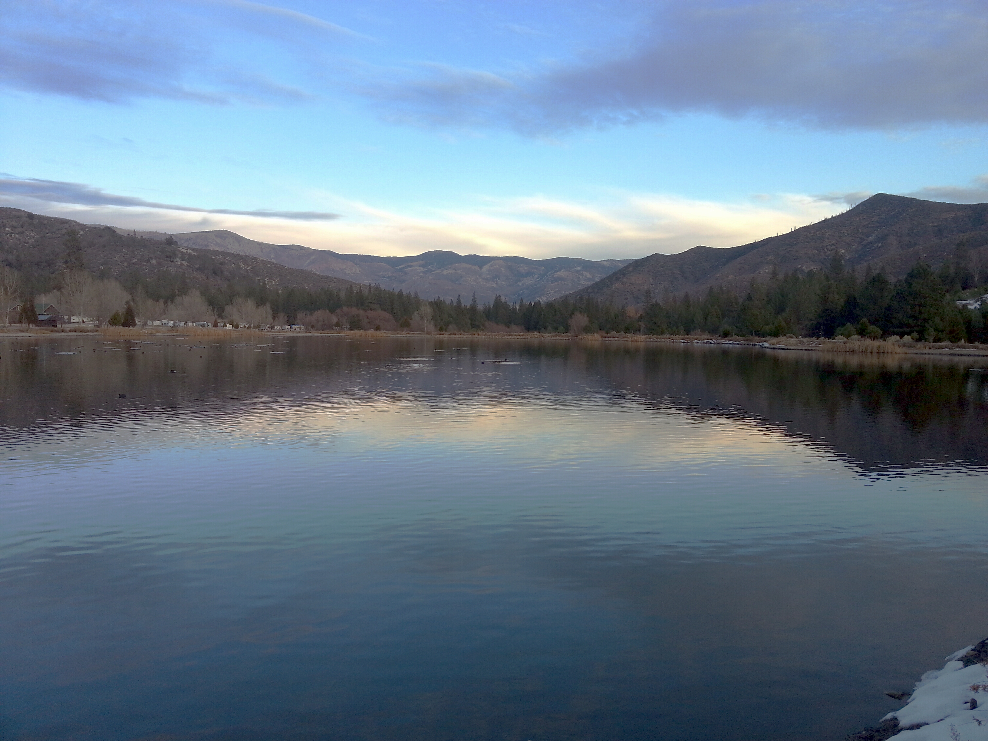
Lake View

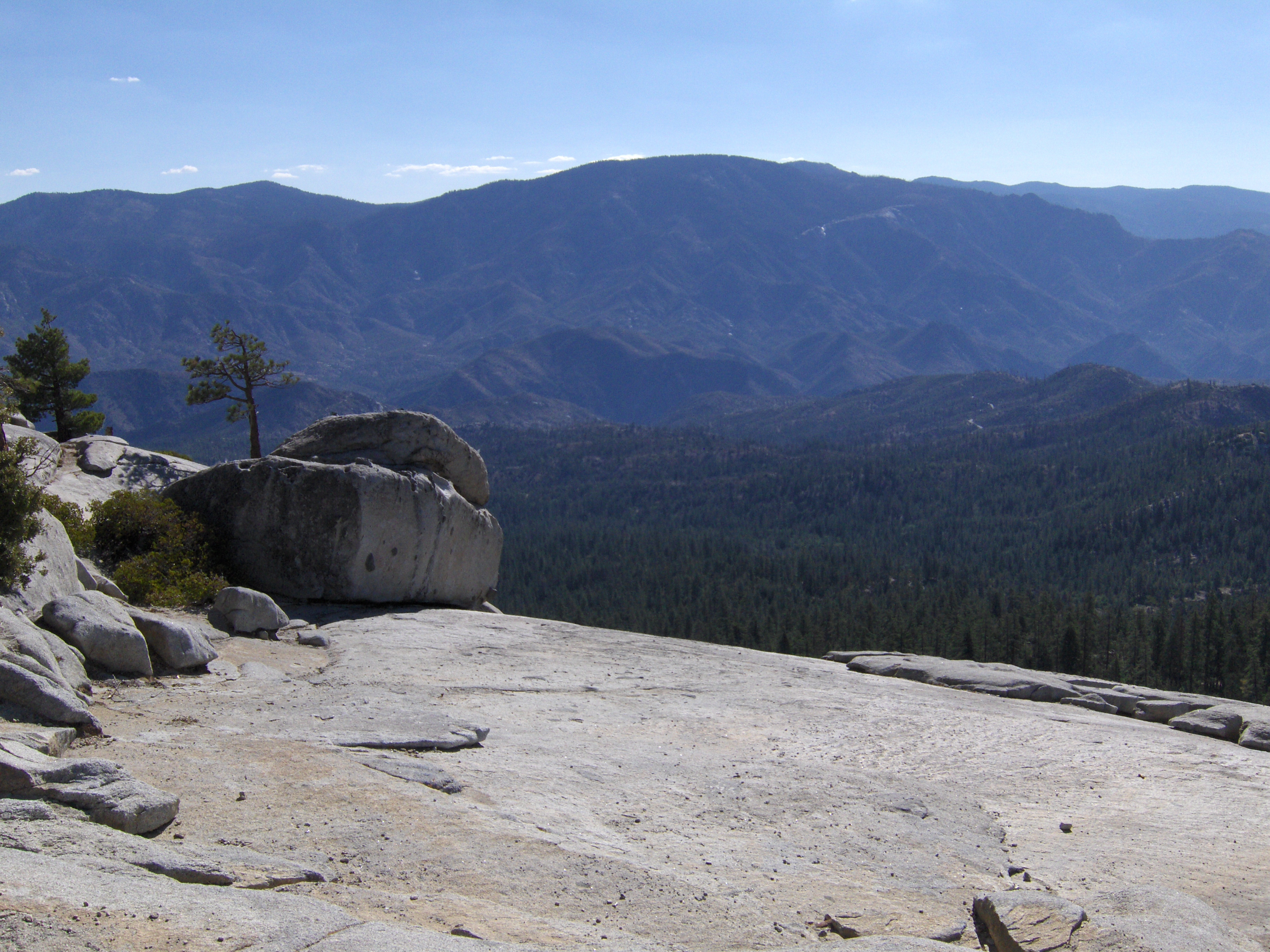
Day 4-View from Dome Rock III

Gold Nymph
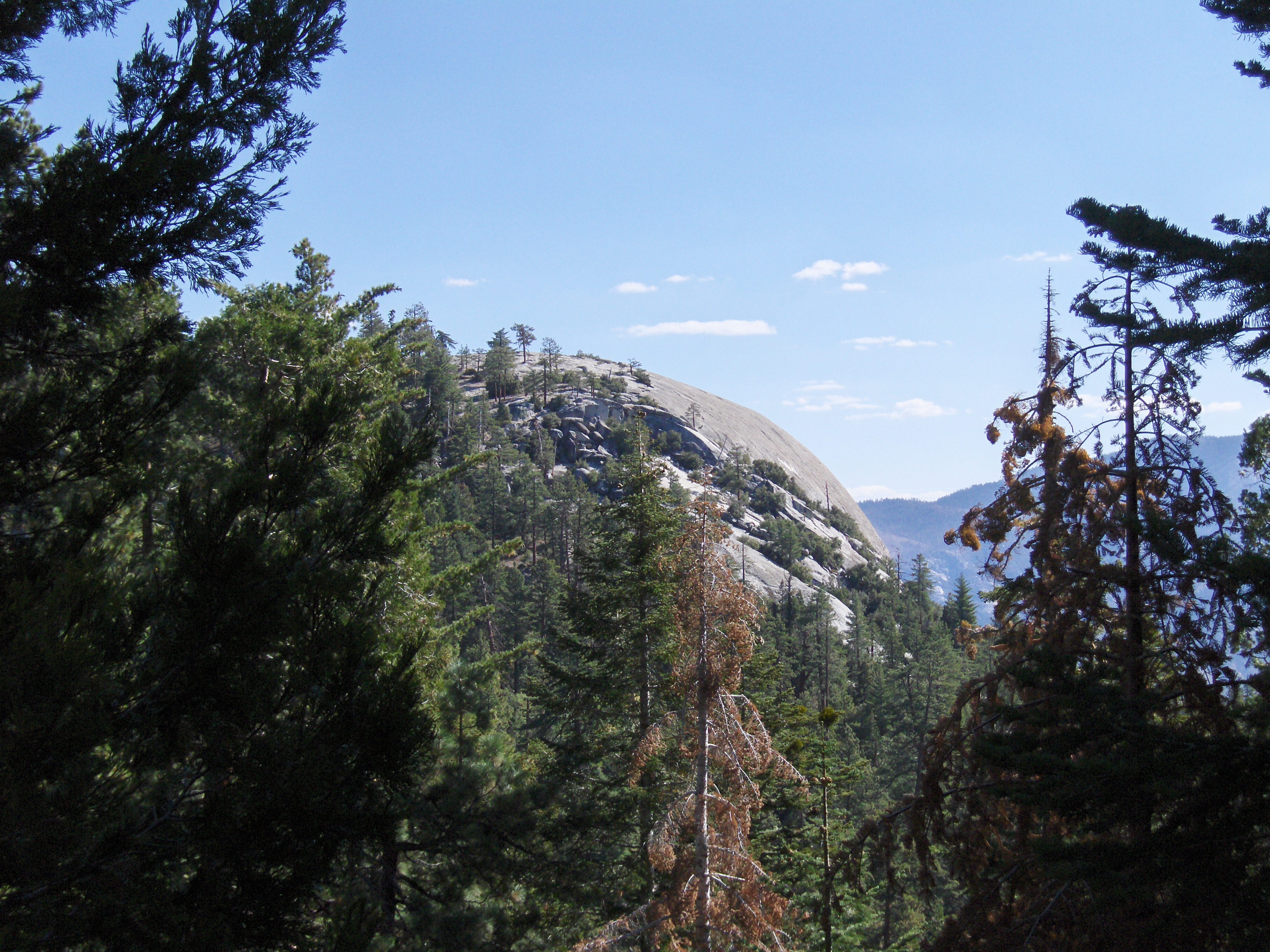
Day 4- View of Dome Rock
Day 4- View from Dome Rock II
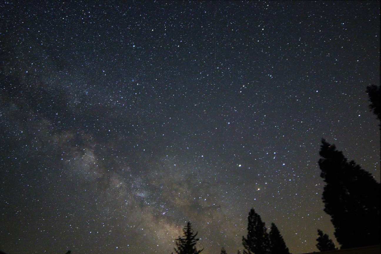
New 14mm Lens
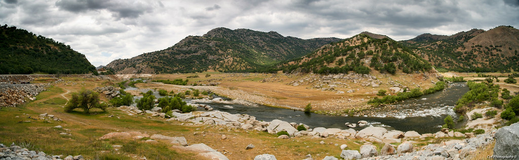
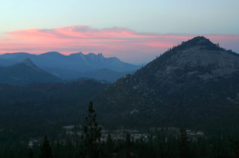
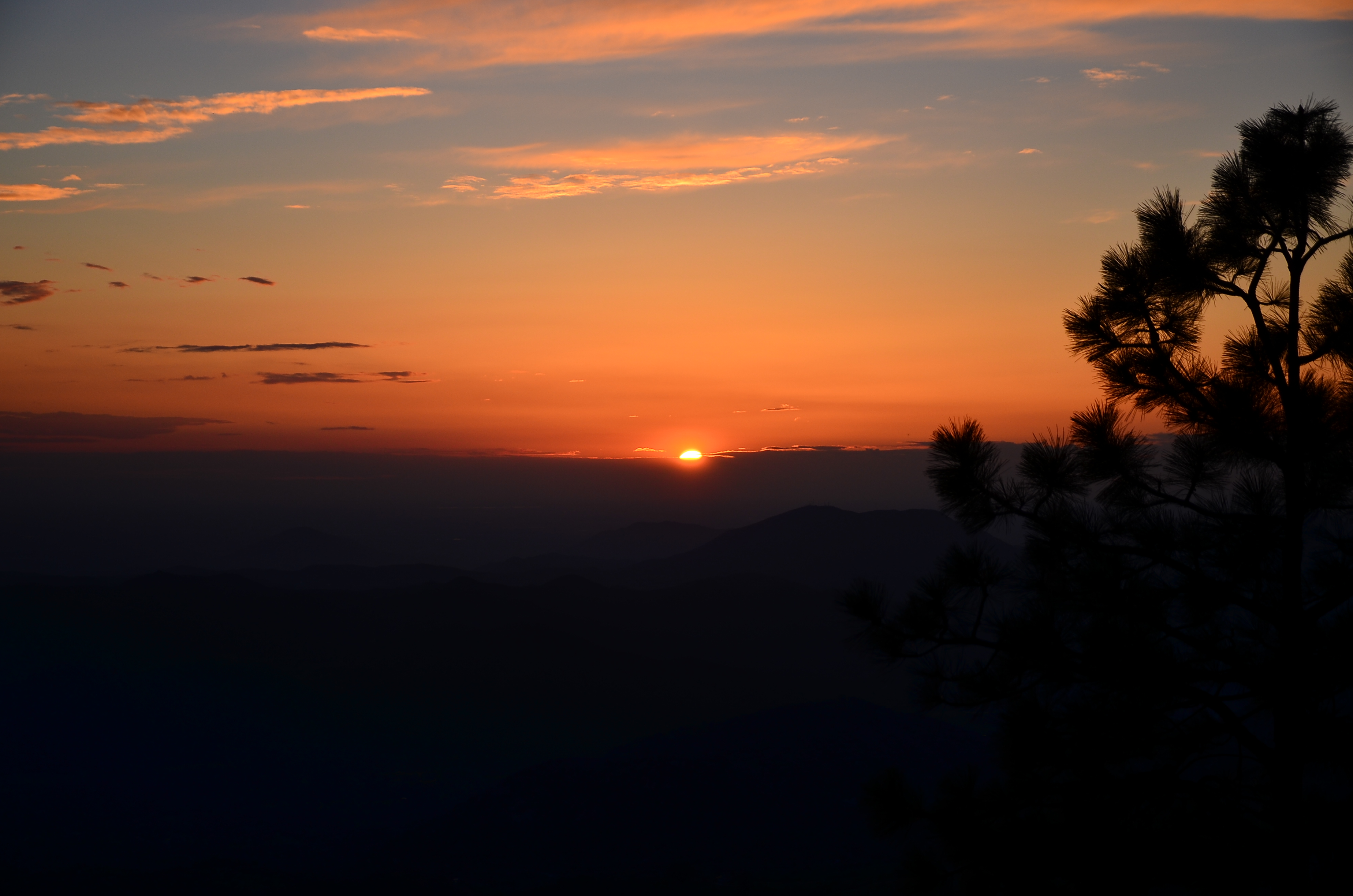
South View from CA Hot Springs
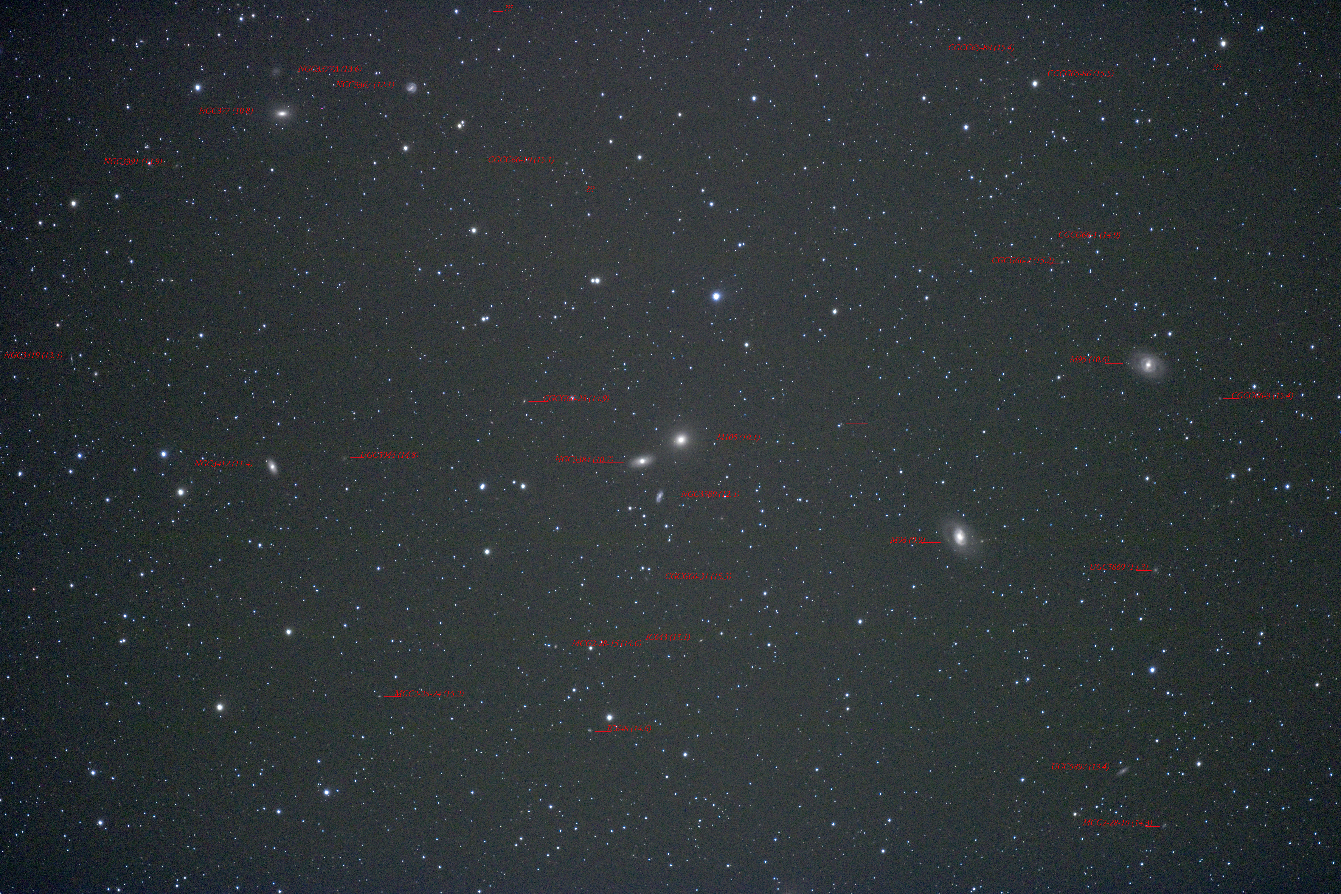
Around M105 With Labels
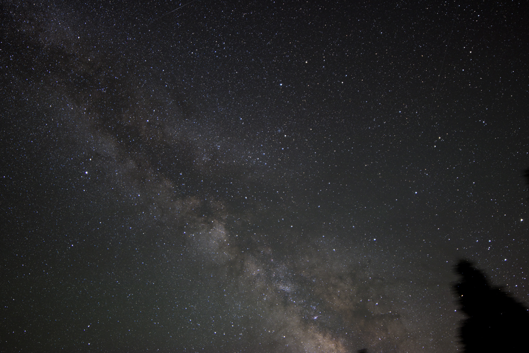
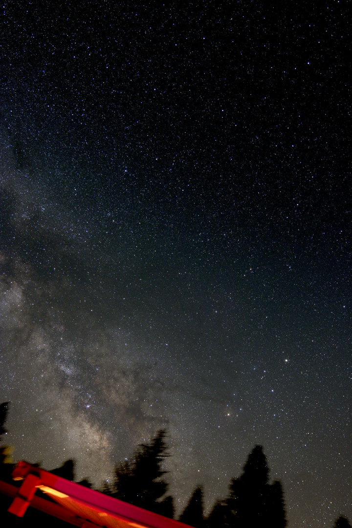
Southern Milky Way

Blooming Blue Beauties

Blue and Buggy
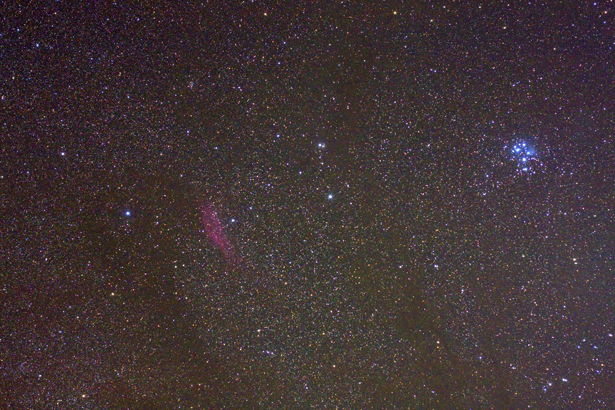
M45 and California Nebula
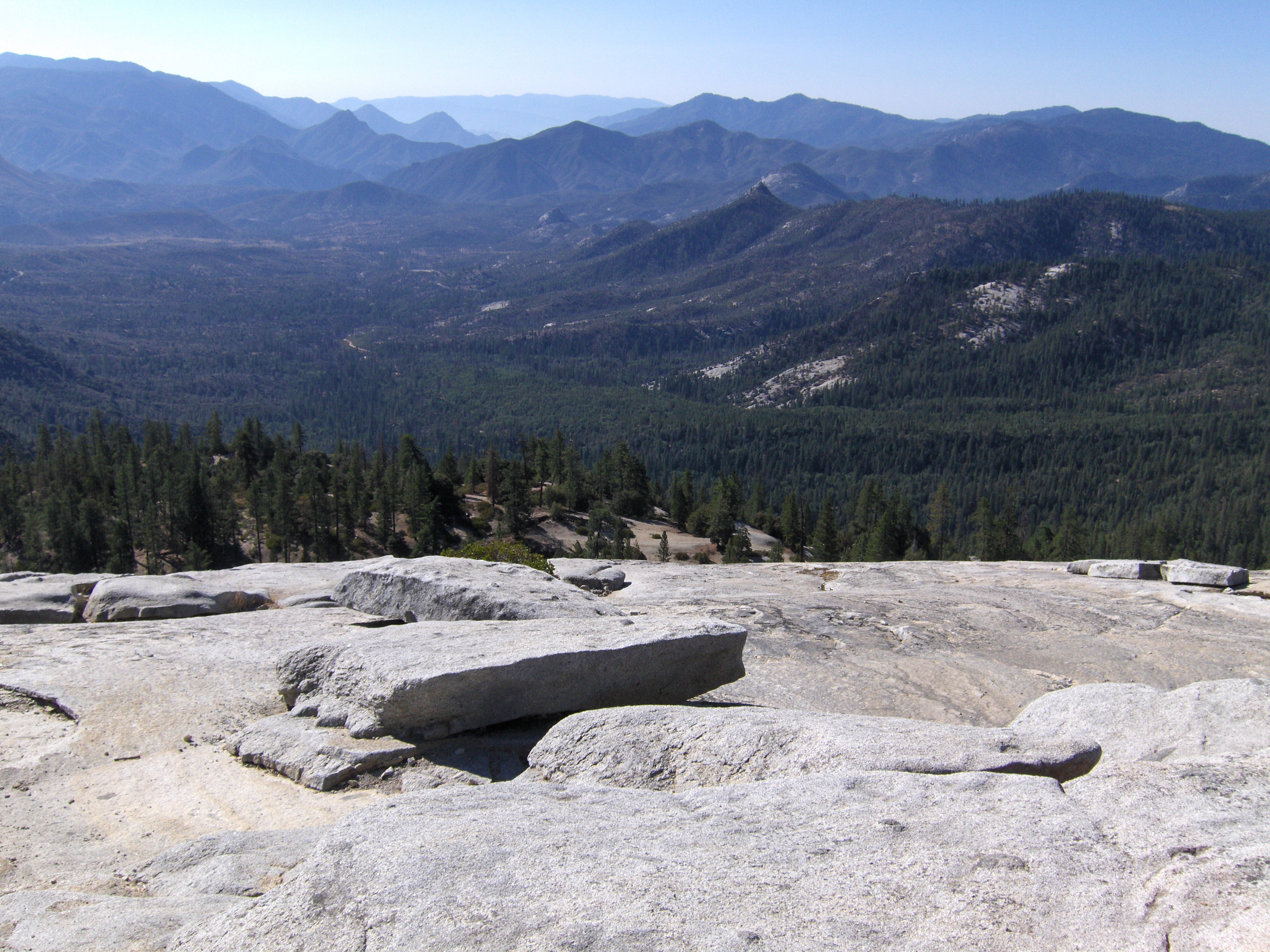
Day 4- View from Dome Rock I
No Fireworks necessary
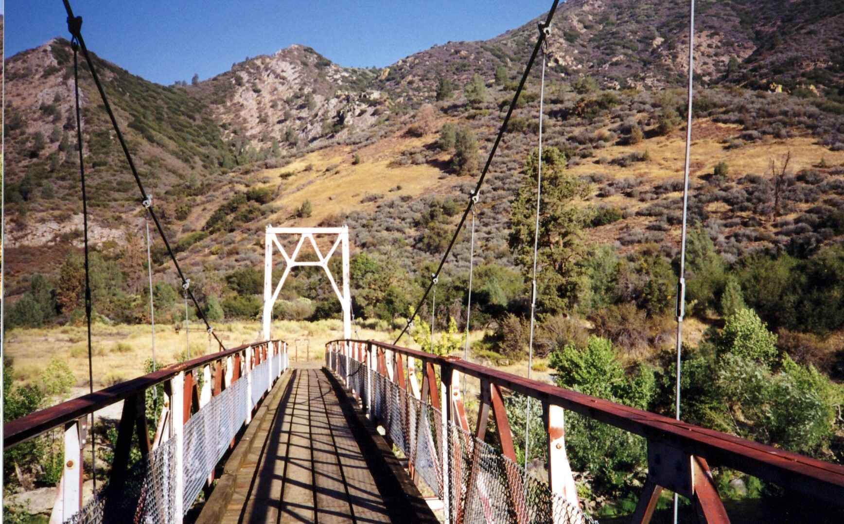
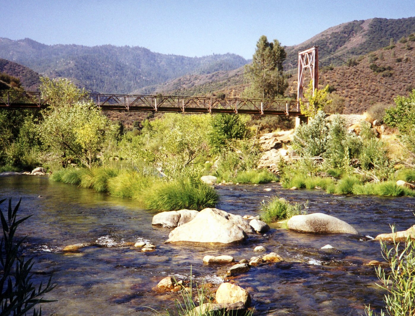
Kern River Bridge, Johnny McNally's, CA 1998
Kern River, CA 9-1998
Kern River, CA 1998

Honeybee Favela

Tobias Creek snow melt
2011-11-27 Sugarloaf Mountain Park 002
USA Trip 2013 - Los Angeles ... San Francisco ... Las Vegas
2011-11-27 Sugarloaf Mountain Park 004

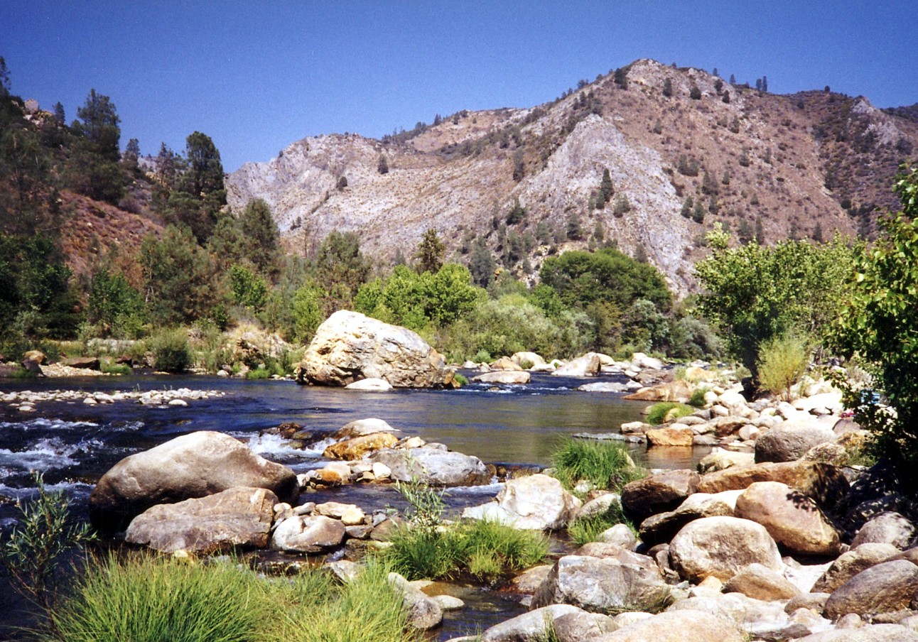
Kern at Fairview

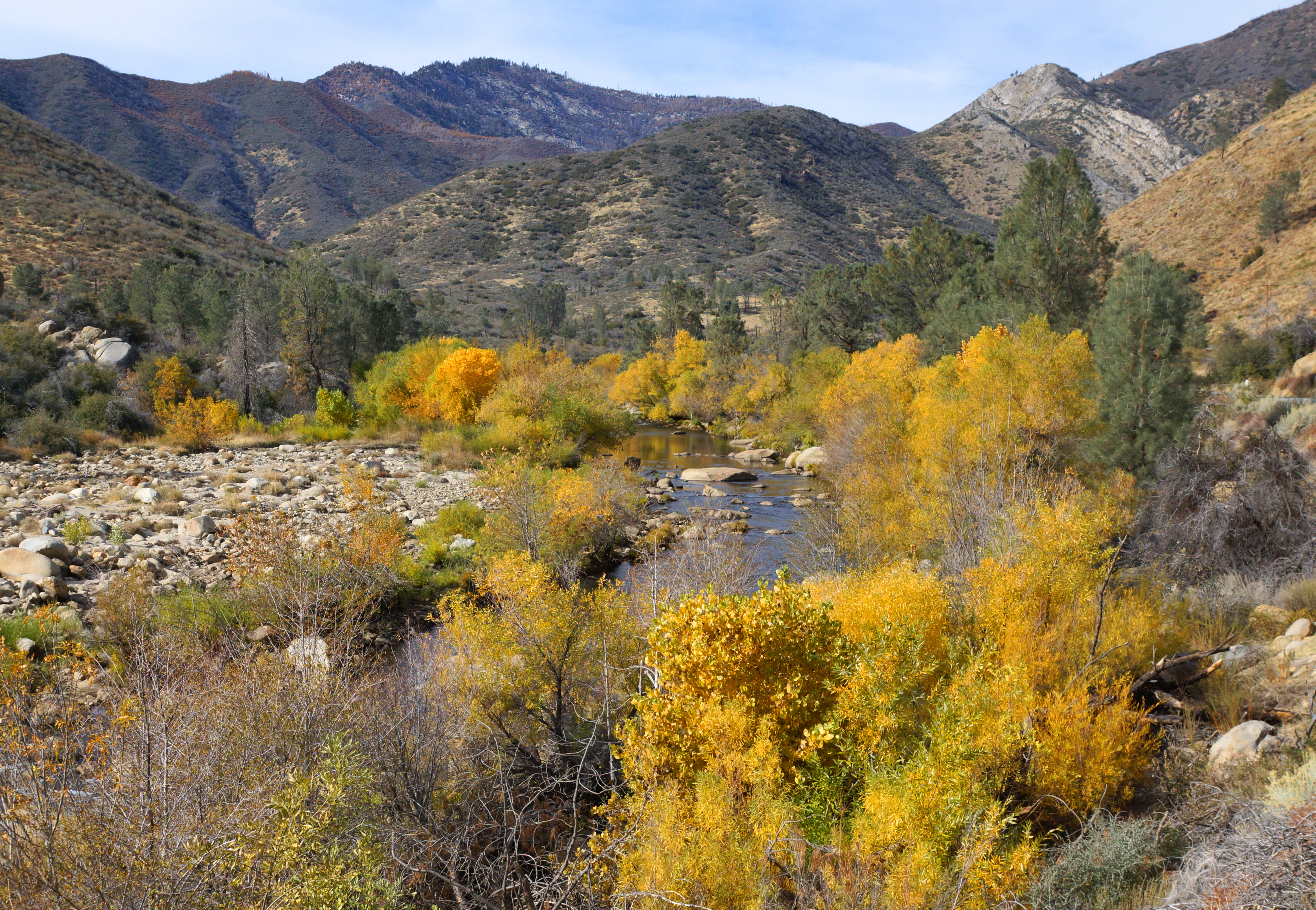
Kern River Springtime

Tobias Creek
Day 4- Panorama from Dome Rock I
Kern River, Johnny McNally's, CA 1998
More phone pics from USA trip

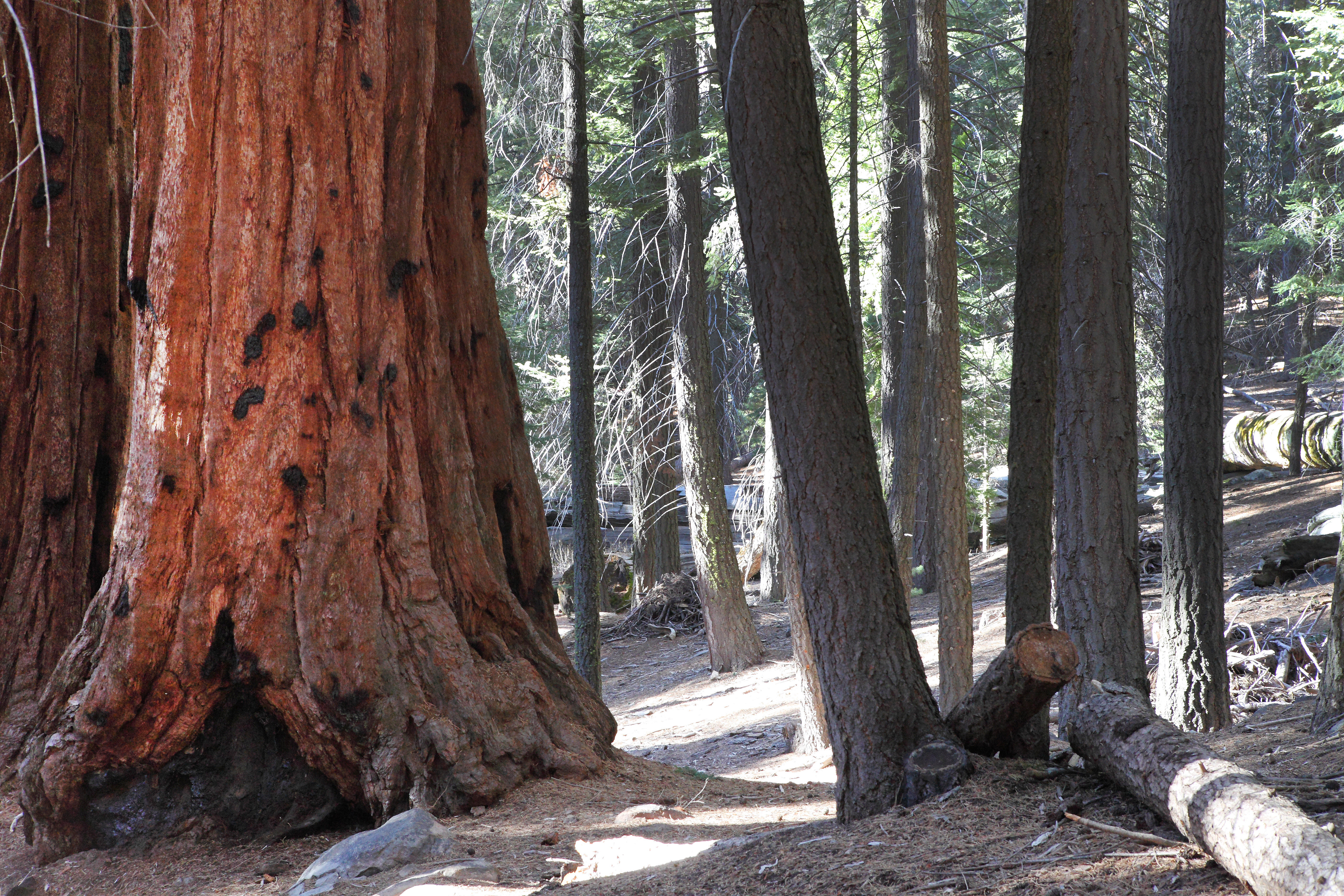
New growth
Kern River - Whiskey Flat Trail
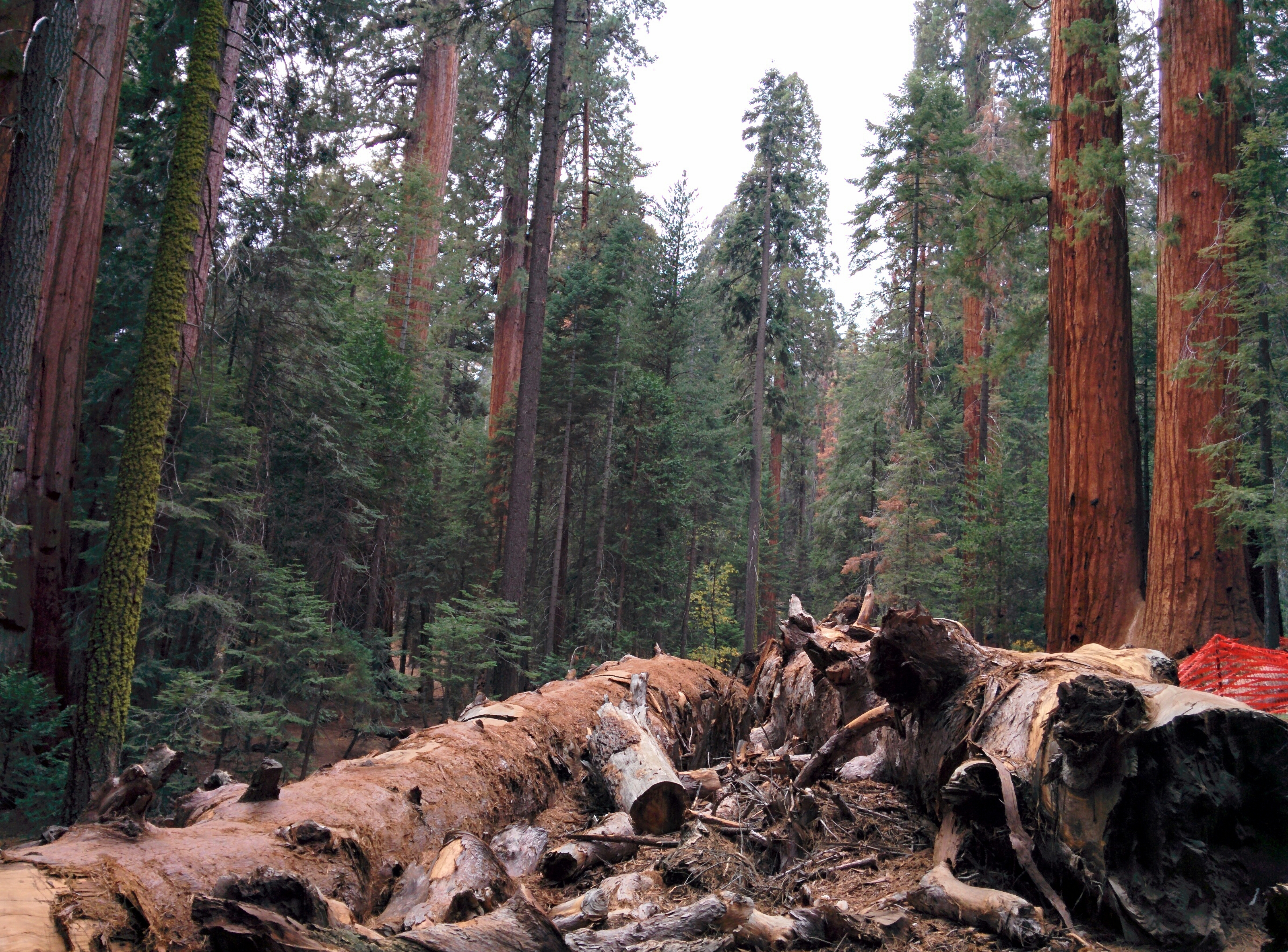
These two sequoias came down September 30th 2011.
More phone pics from USA trip
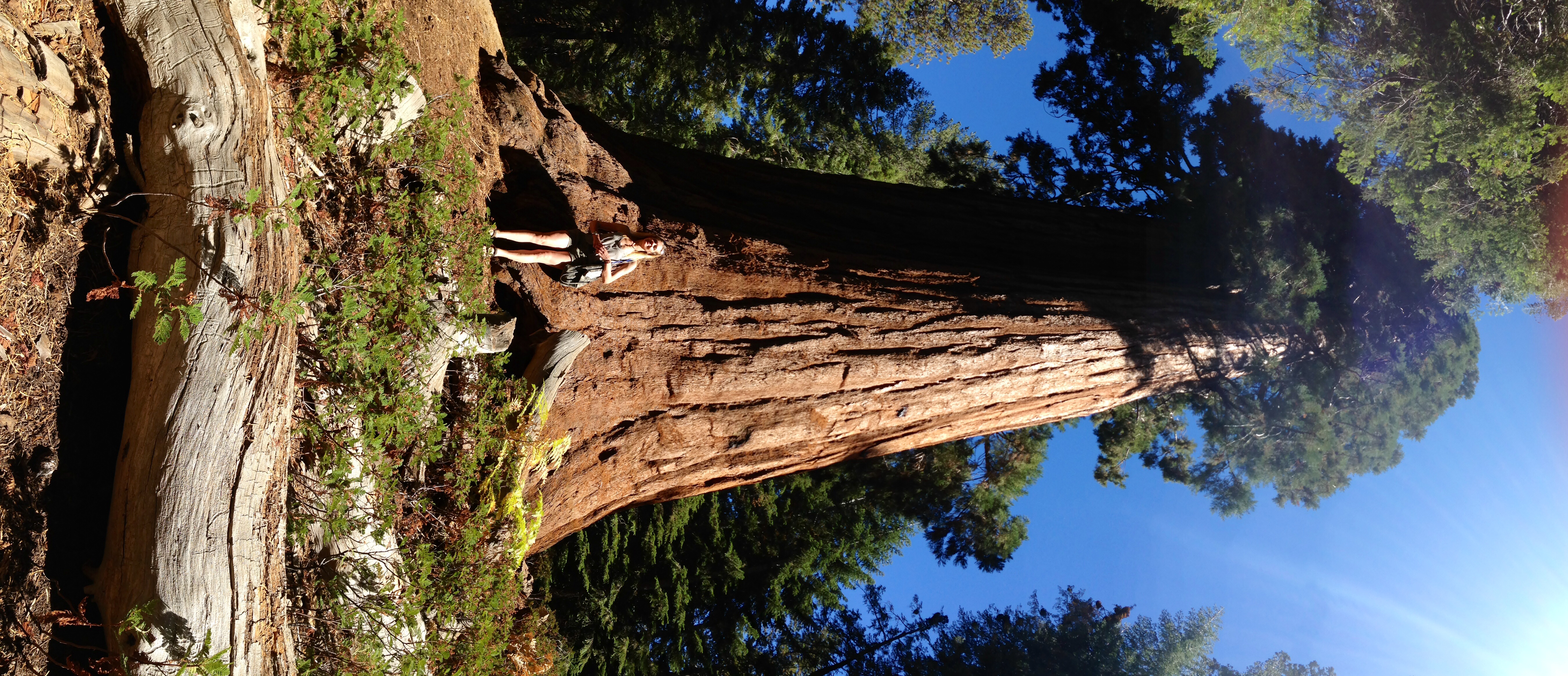
Many Trees
Topographic Map of Pine Flat Dr, California Hot Springs, CA, USA
Find elevation by address:

Places near Pine Flat Dr, California Hot Springs, CA, USA:
43996 Pine Flat Dr
44202 Pine Flat Dr
Manter Meadow Road
172 Rabbit Foot Trail
172 Rabbit Foot Trail
172 Rabbit Foot Trail
172 Rabbit Foot Trail
172 Rabbit Foot Trail
533 Rocking K Dr
533 Rocking K Dr
533 Rocking K Dr
533 Rocking K Dr
45306 Rocking K Dr
California Hot Springs
40587 Hot Springs Rd
Trail Of 100 Giants Trail
Kern River Hwy, Kernville, CA, USA
S Reservation Rd, Porterville, CA, USA
681 S Reservation Rd
Recent Searches:
- Elevation of Spaceport America, Co Rd A, Truth or Consequences, NM, USA
- Elevation of Warwick, RI, USA
- Elevation of Fern Rd, Whitmore, CA, USA
- Elevation of 62 Abbey St, Marshfield, MA, USA
- Elevation of Fernwood, Bradenton, FL, USA
- Elevation of Felindre, Swansea SA5 7LU, UK
- Elevation of Leyte Industrial Development Estate, Isabel, Leyte, Philippines
- Elevation of W Granada St, Tampa, FL, USA
- Elevation of Pykes Down, Ivybridge PL21 0BY, UK
- Elevation of Jalan Senandin, Lutong, Miri, Sarawak, Malaysia