Elevation of California Hot Springs, CA, USA
Location: United States > California > Tulare County >
Longitude: -118.67666
Latitude: 35.8802168
Elevation: 927m / 3041feet
Barometric Pressure: 91KPa
Elevation Map:
Satellite Map:
Related Photos:
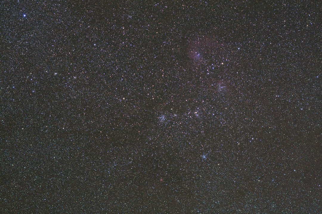
M38 Widefield

Day 4-View from Dome Rock III

Gold Nymph
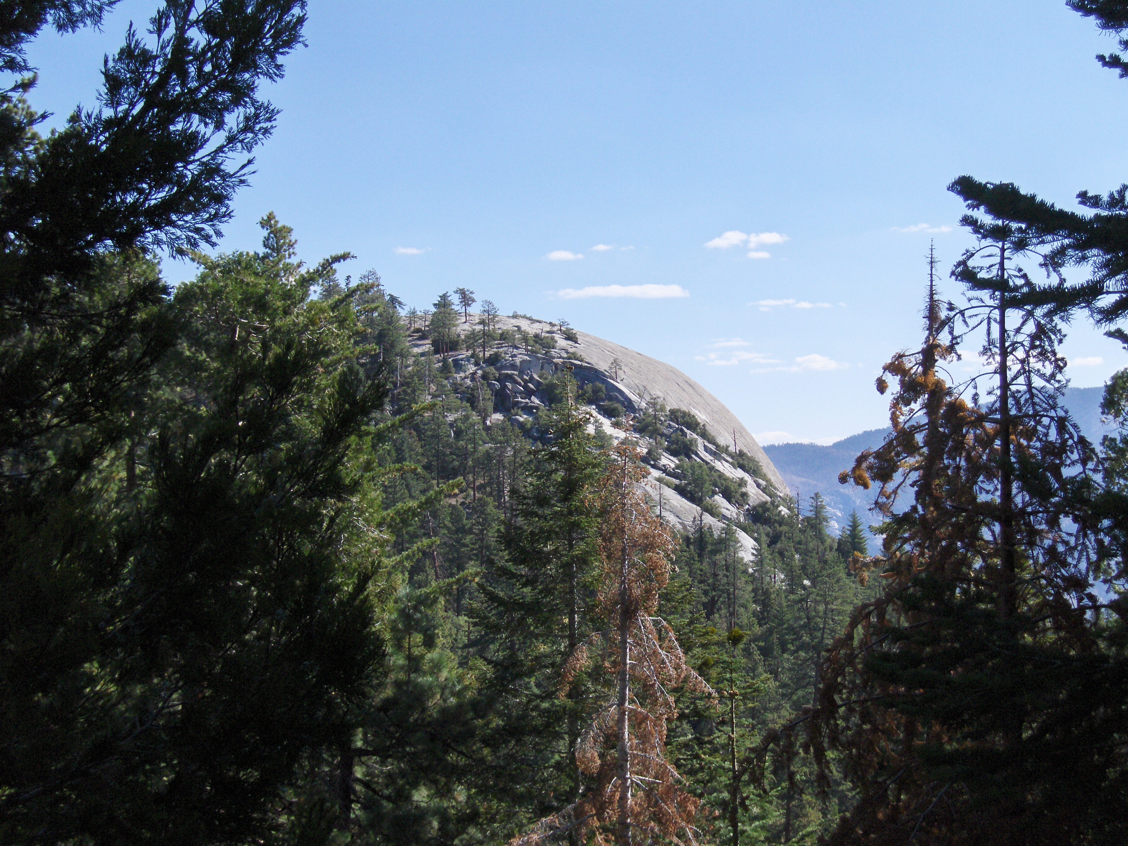
Day 4- View of Dome Rock
Day 4- View from Dome Rock II
New 14mm Lens
Kings Canyon, California USA
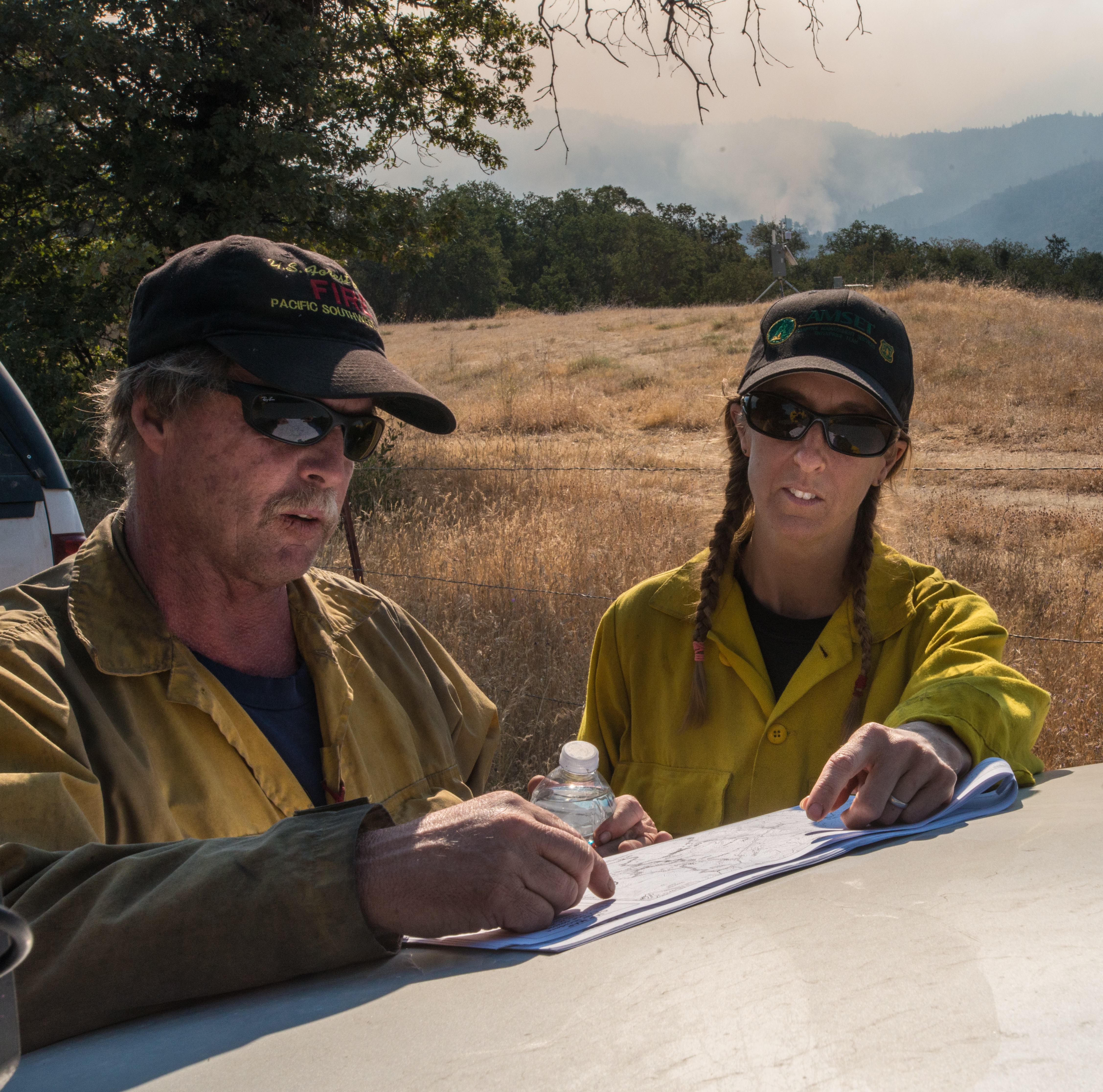
20160824-FS-LSC-0008
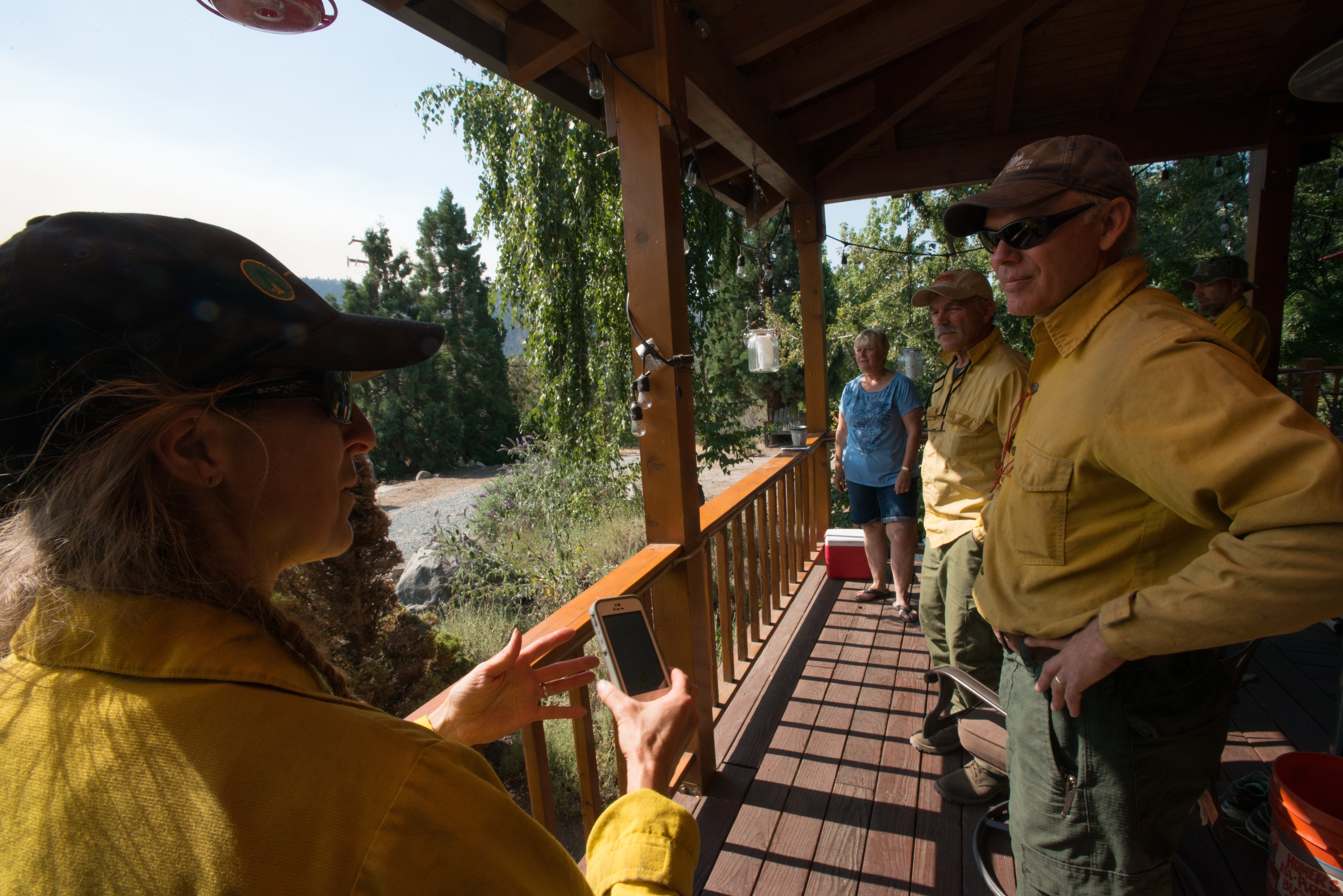
20160824-FS-LSC-0040
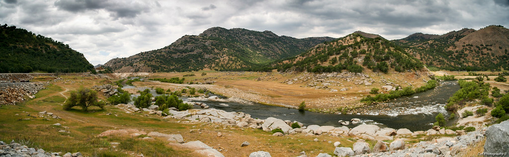
South View from CA Hot Springs
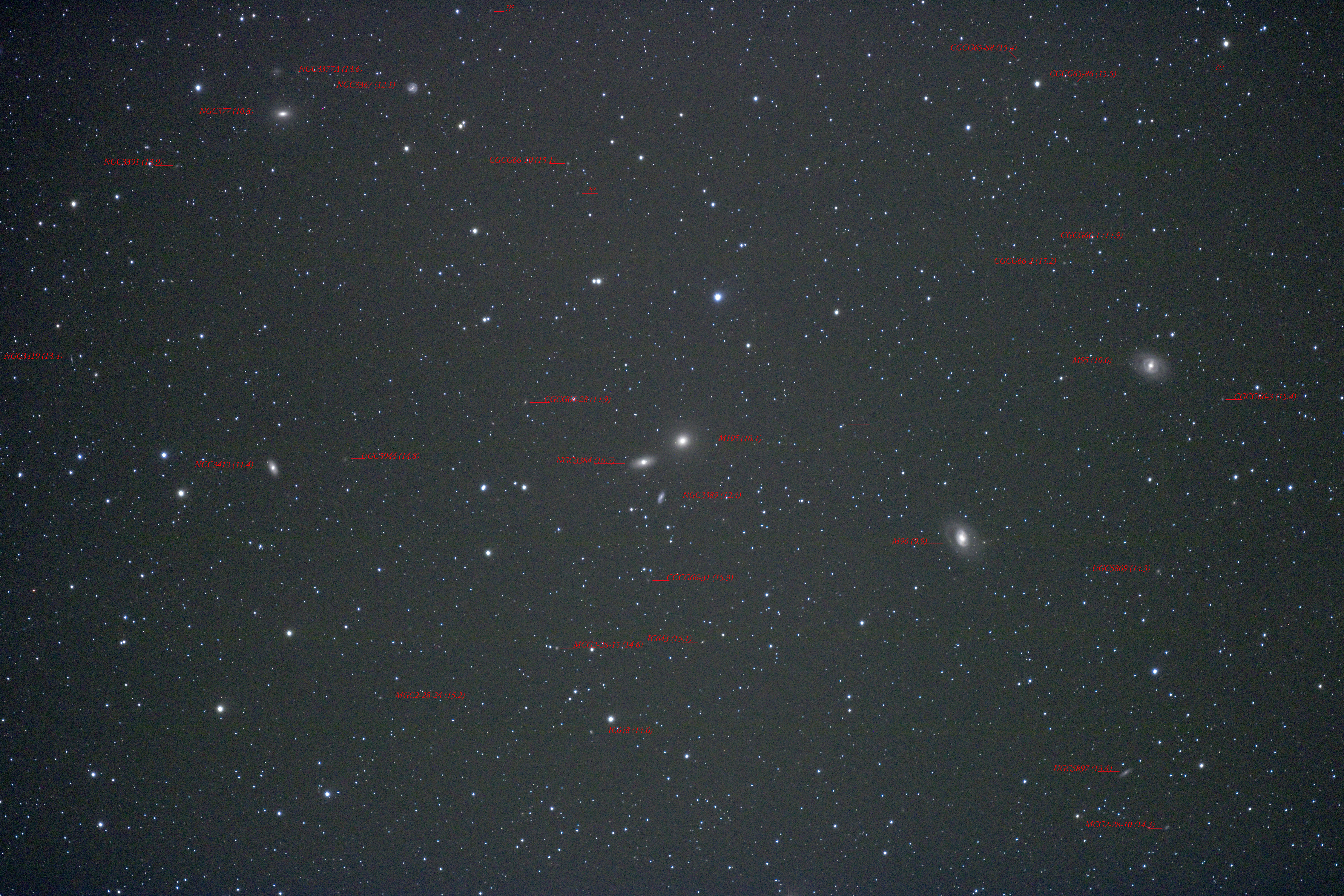
Around M105 With Labels
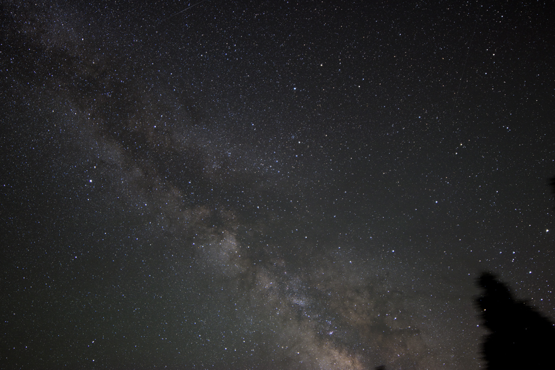
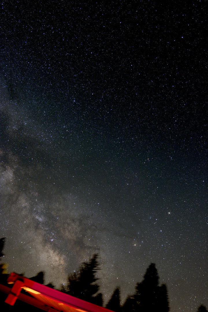
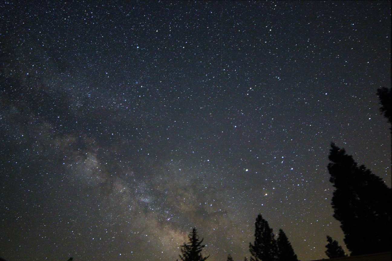
Southern Milky Way

Blooming Blue Beauties

Blue and Buggy
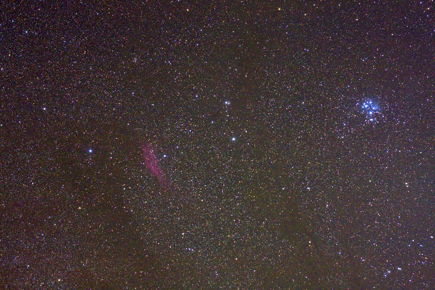
M45 and California Nebula
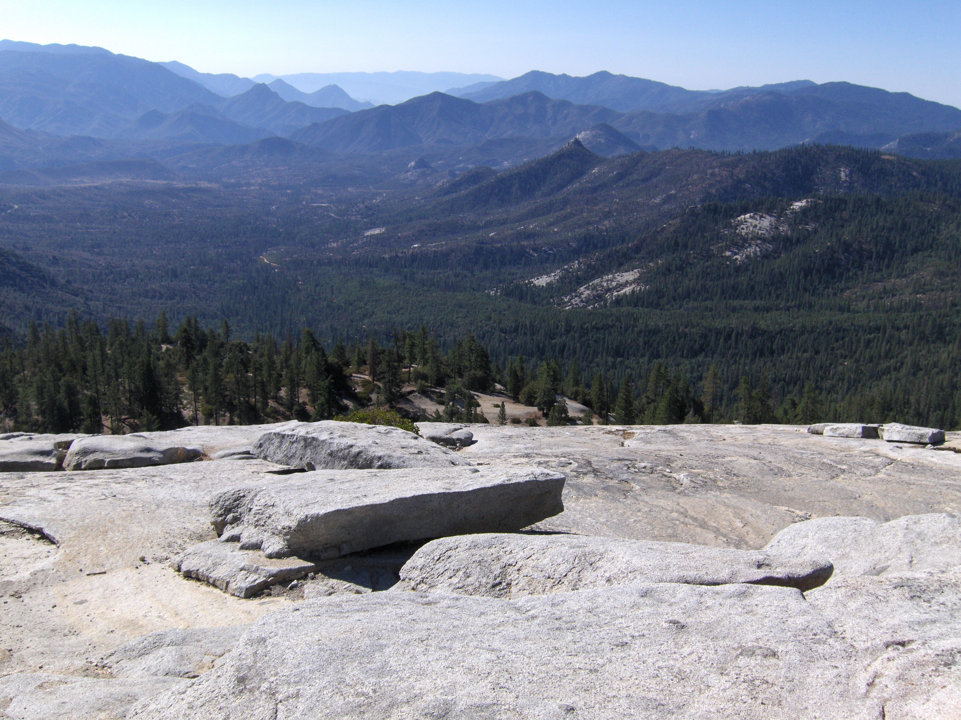
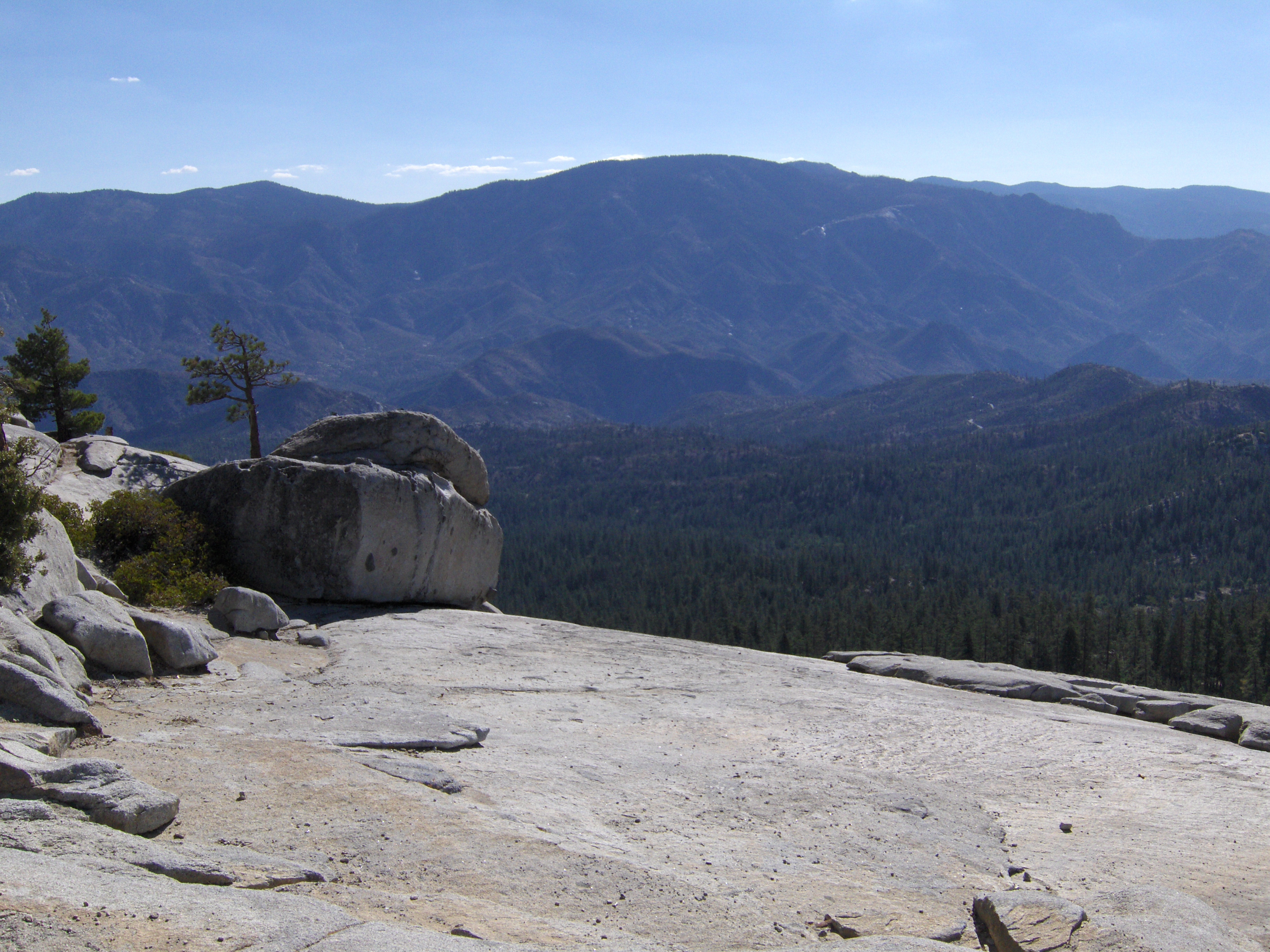
Day 4- View from Dome Rock I
No Fireworks necessary

Honeybee Favela

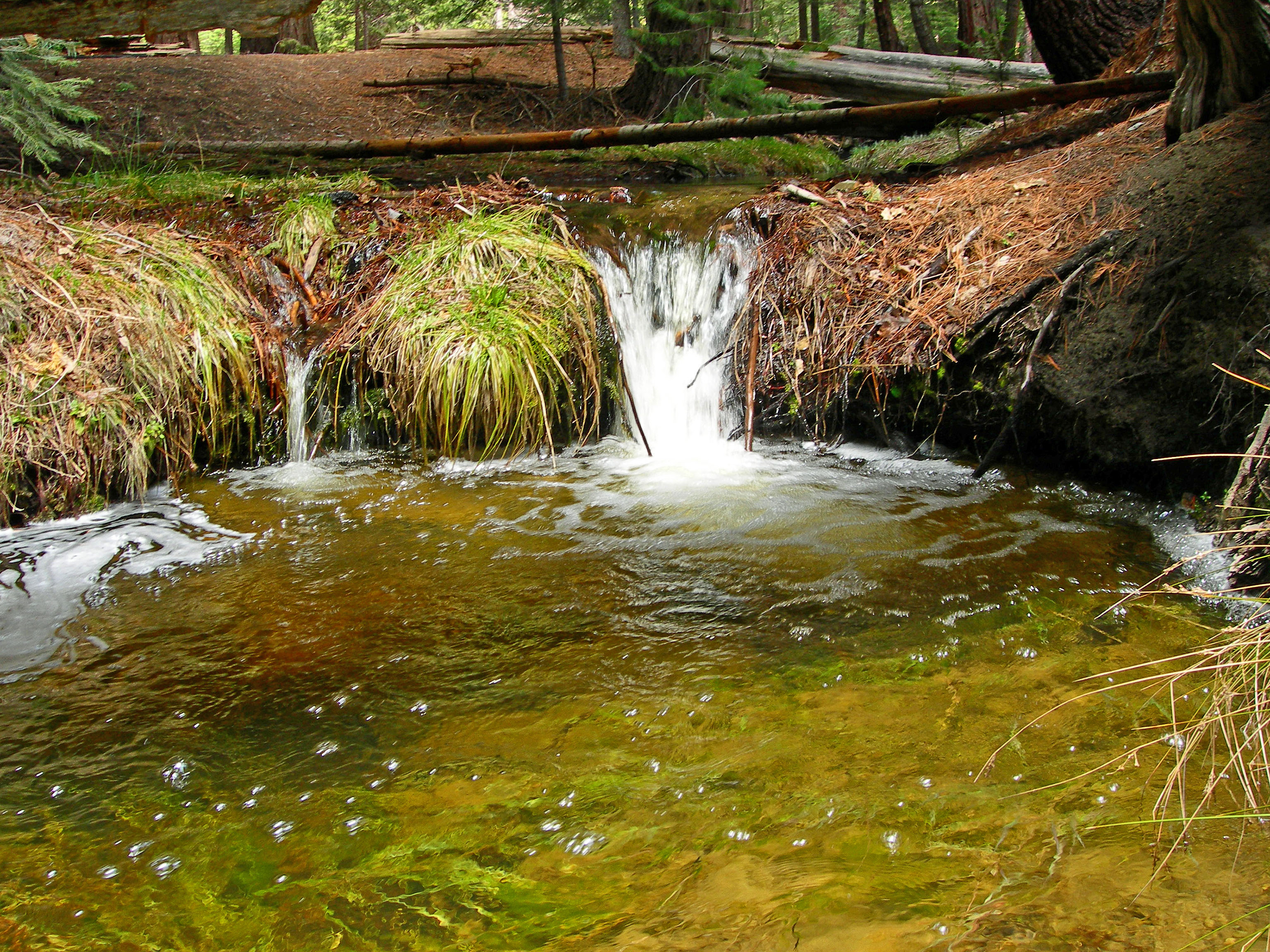
Tobias Creek snow melt
Day 4- Panorama from Dome Rock I
More phone pics from USA trip
These two sequoias came down September 30th 2011.
More phone pics from USA trip
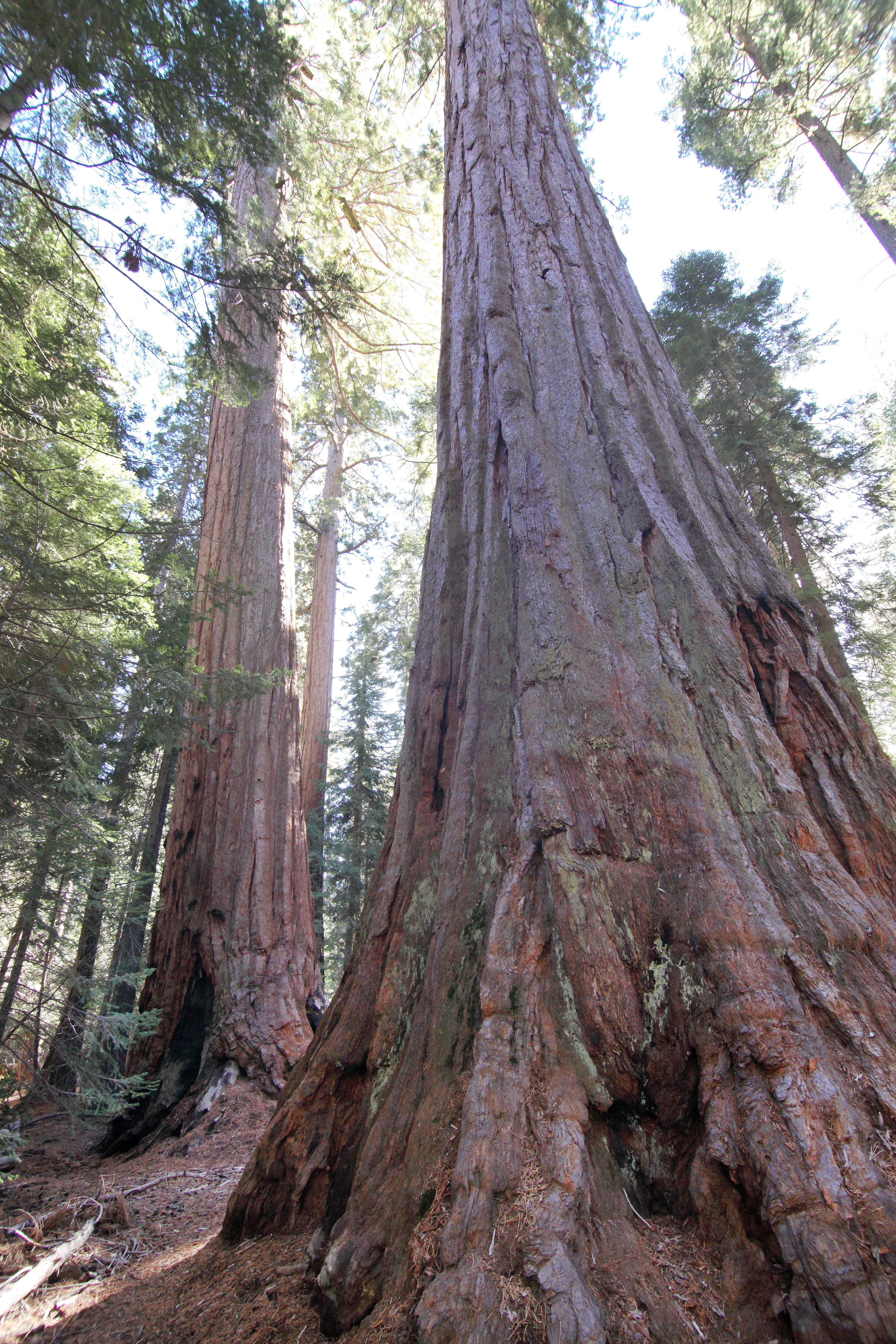
Many Trees
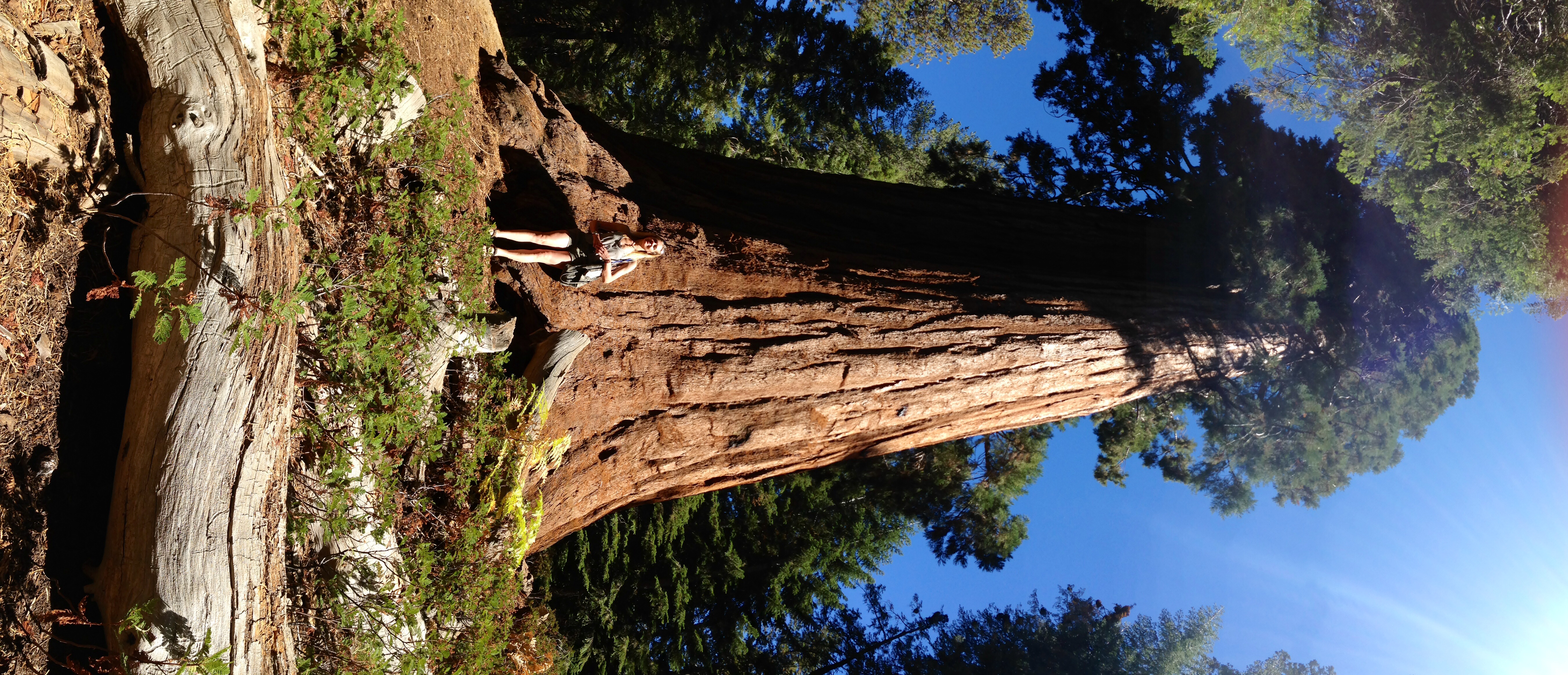
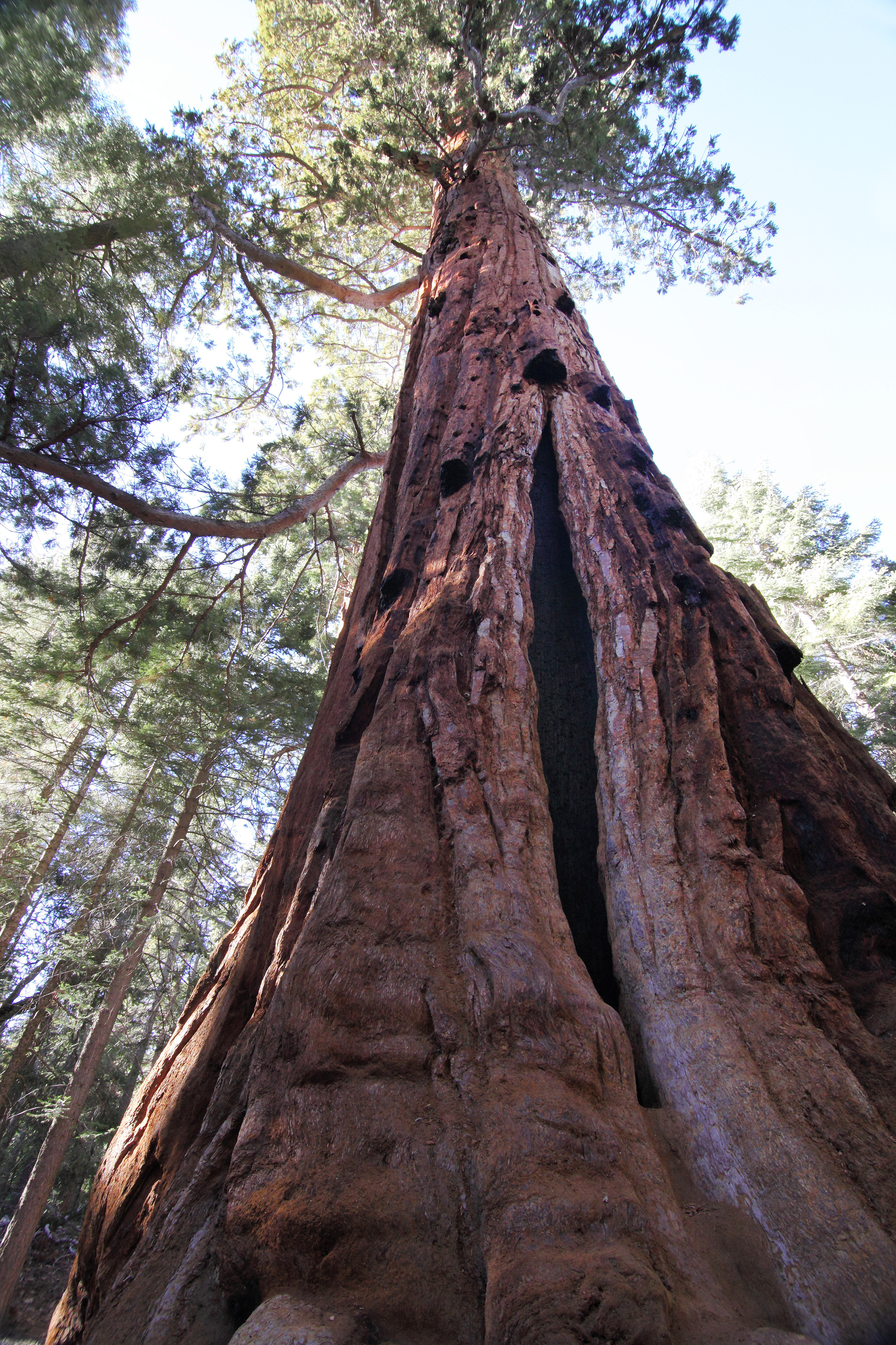
Giant Sequoia
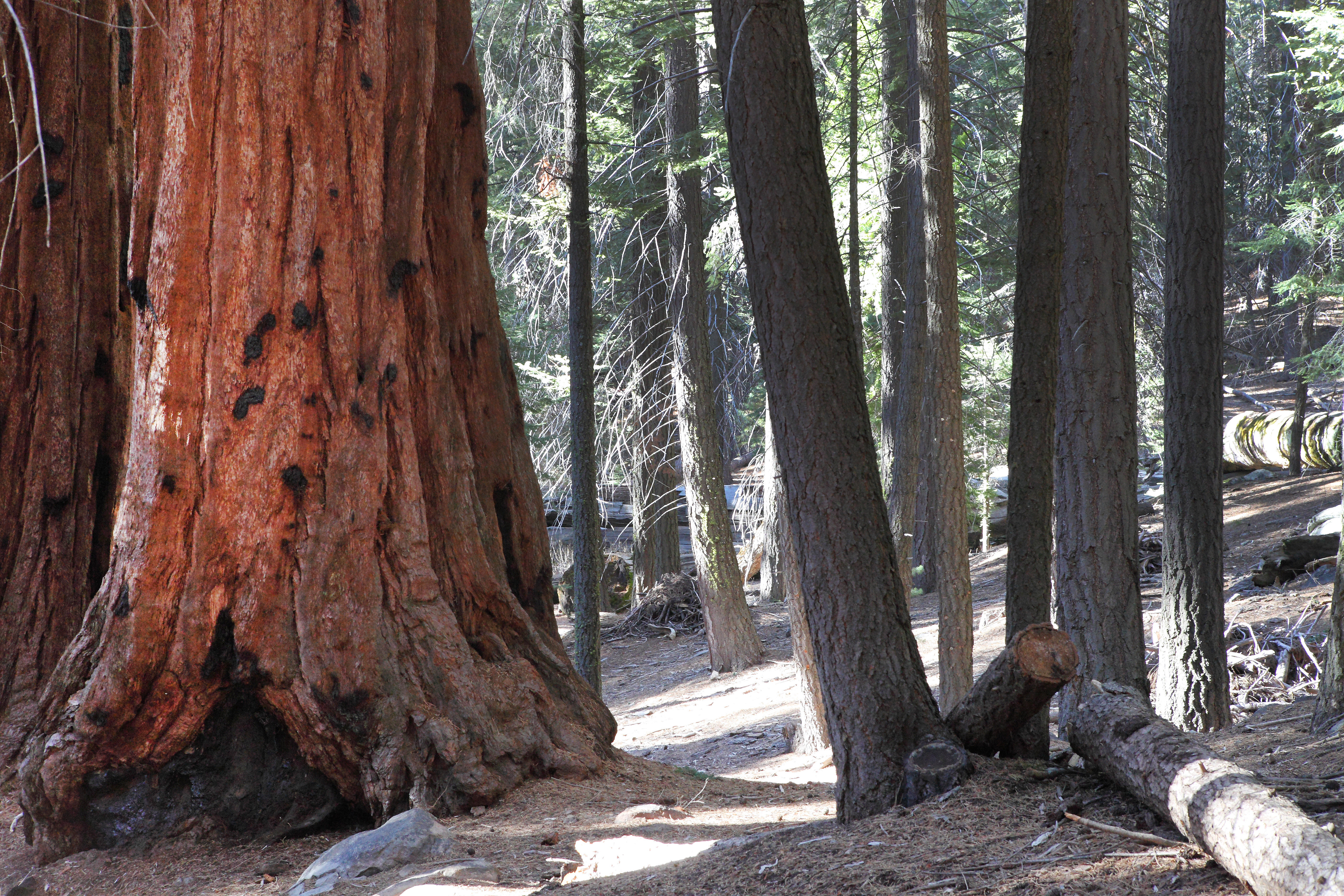
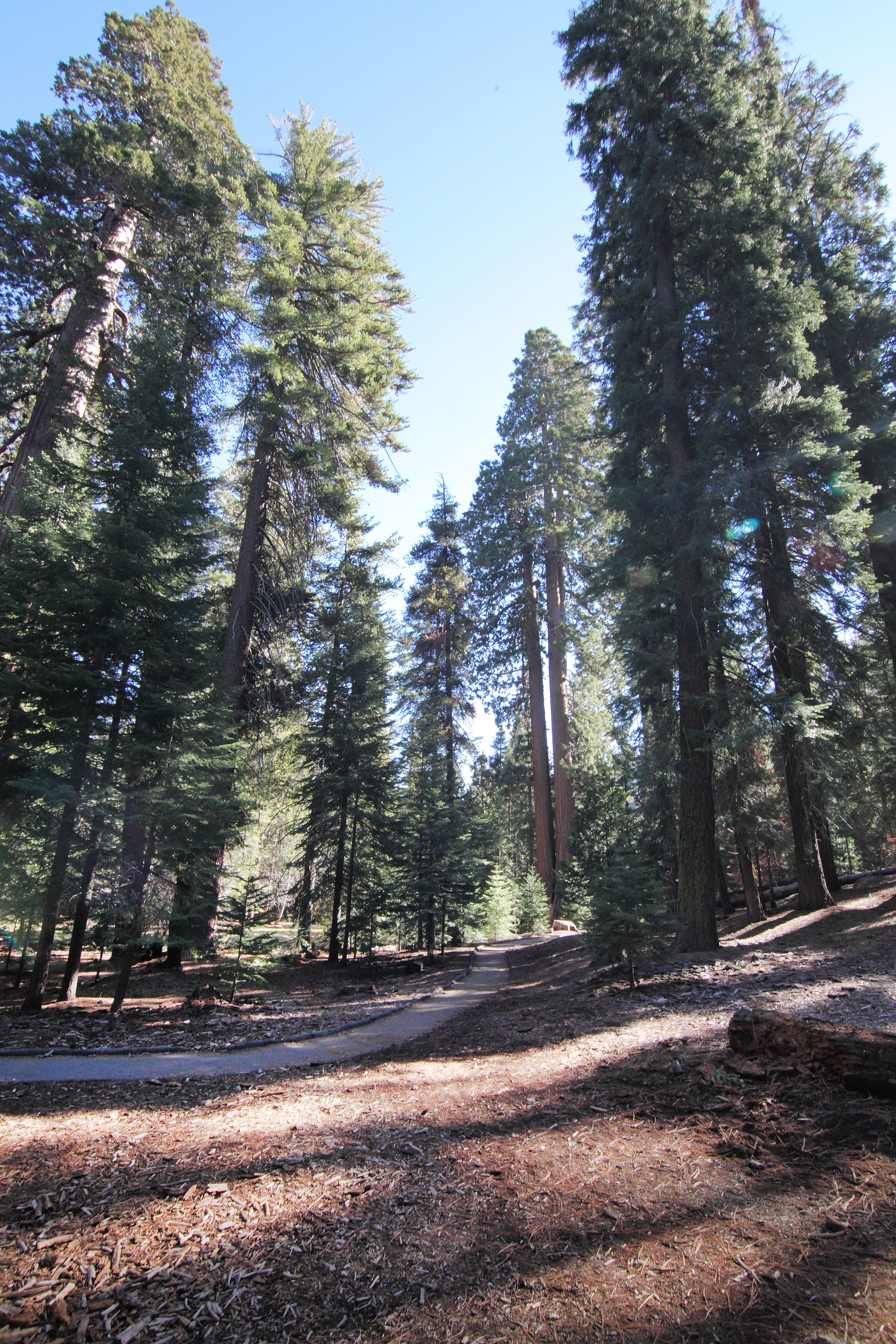
Trail of 100 Giants
Big Tree
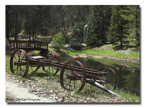
Old Wagon
Giant Sequoia
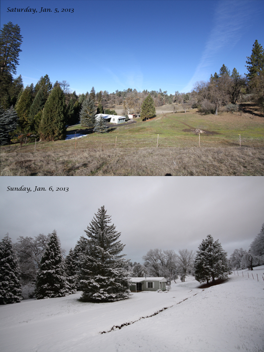
Changing Weather
2010-05-15 Trail of 100 Giants-15_edited-1
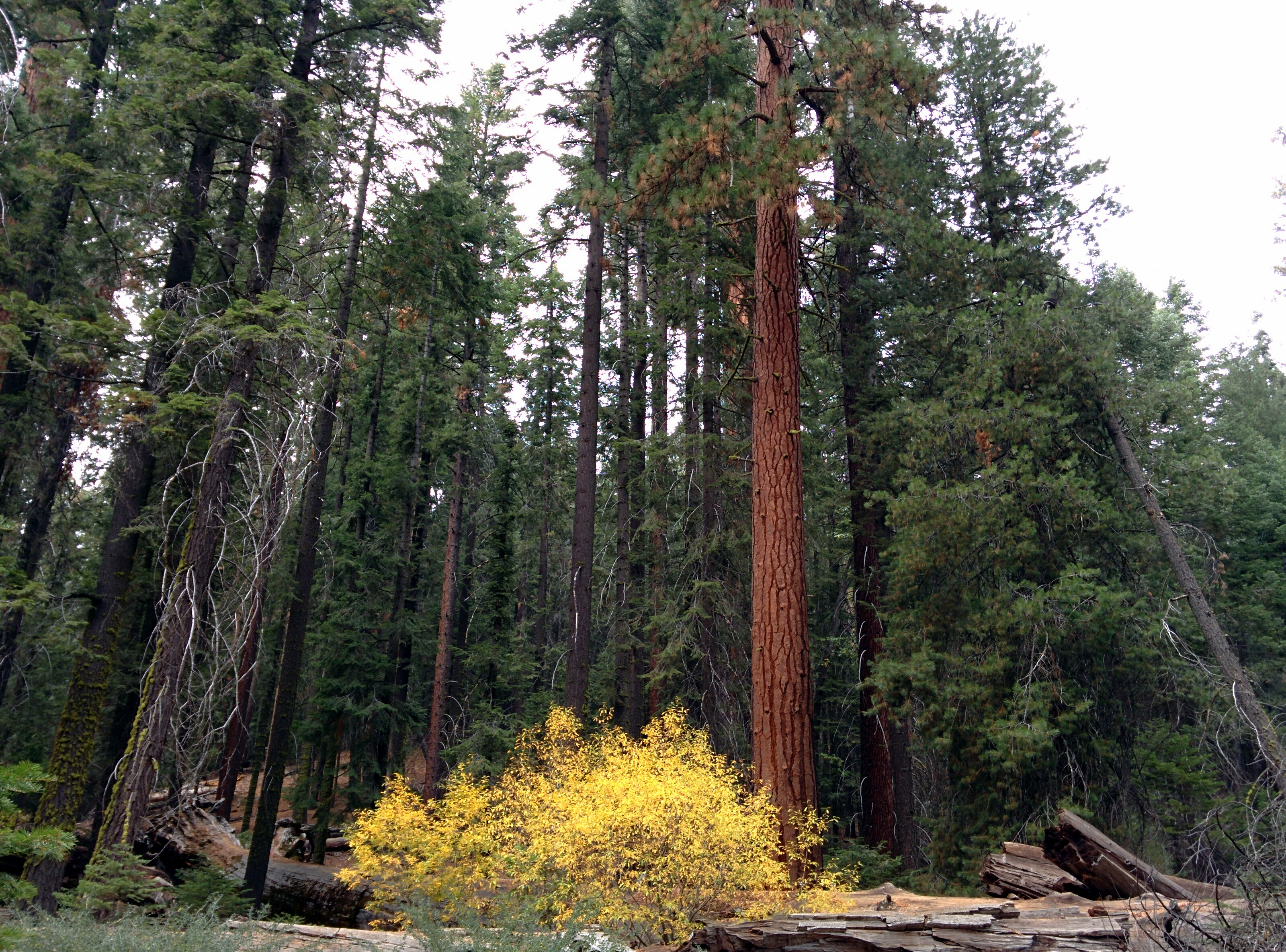
fall color amid the giant sequoias
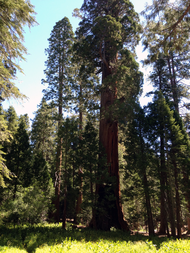
Giant Sequoia
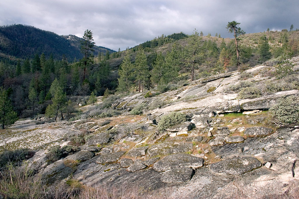
Rocky Hillside

blocked path

Sequoia roots only run so deep
Topographic Map of California Hot Springs, CA, USA
Find elevation by address:

Places in California Hot Springs, CA, USA:
Places near California Hot Springs, CA, USA:
40587 Hot Springs Rd
43996 Pine Flat Dr
Pine Flat Dr, California Hot Springs, CA, USA
44202 Pine Flat Dr
172 Rabbit Foot Trail
172 Rabbit Foot Trail
172 Rabbit Foot Trail
172 Rabbit Foot Trail
172 Rabbit Foot Trail
Manter Meadow Road
533 Rocking K Dr
533 Rocking K Dr
533 Rocking K Dr
533 Rocking K Dr
45306 Rocking K Dr
Trail Of 100 Giants Trail
S Reservation Rd, Porterville, CA, USA
681 S Reservation Rd
Kern River Hwy, Kernville, CA, USA
Recent Searches:
- Elevation of Tenjo, Cundinamarca, Colombia
- Elevation of Côte-des-Neiges, Montreal, QC H4A 3J6, Canada
- Elevation of Bobcat Dr, Helena, MT, USA
- Elevation of Zu den Ihlowbergen, Althüttendorf, Germany
- Elevation of Badaber, Peshawar, Khyber Pakhtunkhwa, Pakistan
- Elevation of SE Heron Loop, Lincoln City, OR, USA
- Elevation of Slanický ostrov, 01 Námestovo, Slovakia
- Elevation of Spaceport America, Co Rd A, Truth or Consequences, NM, USA
- Elevation of Warwick, RI, USA
- Elevation of Fern Rd, Whitmore, CA, USA