Elevation of Peppers Ferry Road, Peppers Ferry Rd, Virginia, USA
Location: United States > Virginia > Wythe County > Fort Chiswell > Max Meadows >
Longitude: -80.968903
Latitude: 36.9784832
Elevation: 630m / 2067feet
Barometric Pressure: 94KPa
Elevation Map:
Satellite Map:
Related Photos:
High Rocks Trail, Wytheville VA.

Side Mirror
Blue Ridge Parkway View
Blue Ridge Parkway View
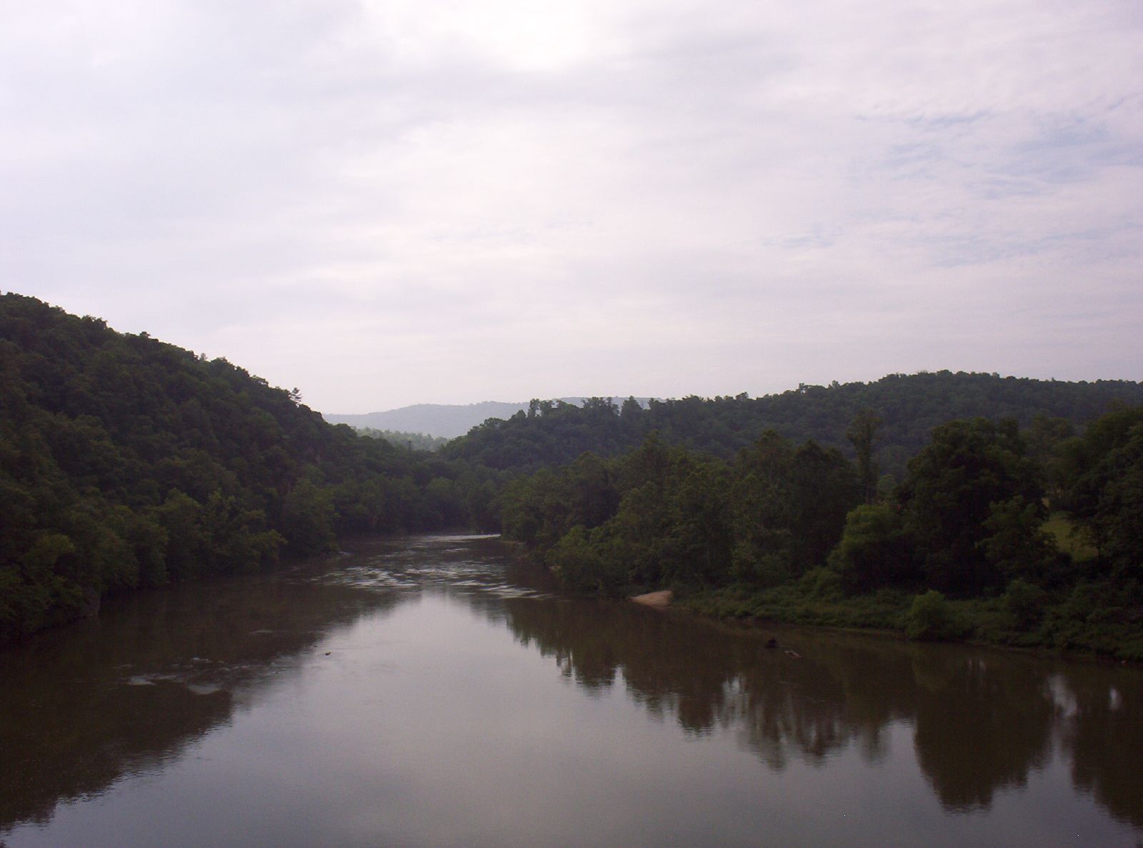
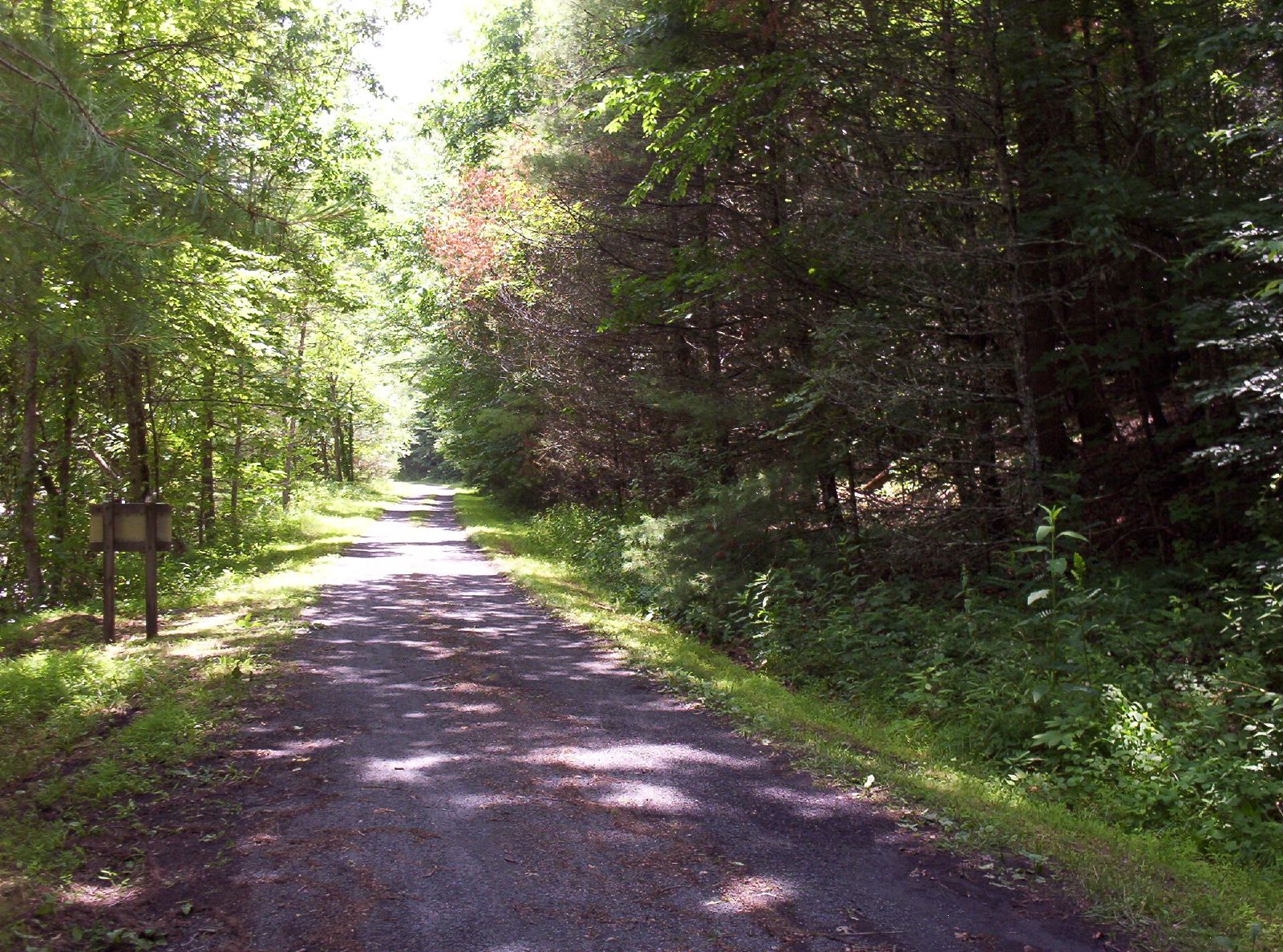
New River Rail/Trail

View from the parking lot

Thanks so much for all the views and subscribers!
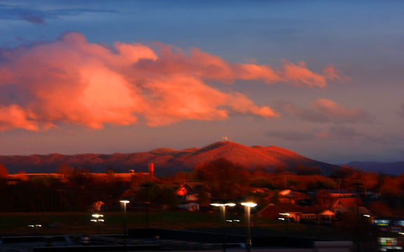
Winter will not let us escape his grasp
Shot Tower Historical State Park, Wythe County (Va.), 4 August 1978
Countryside #landscapelovers #htcevo4glte #HTC #webstagram #statigram #gramfeed #instagram #instamood #instapic #instagood #instagramers #instagrammer #instagramhub #cloudlovers #cloudporn #skysnappers #skylovers
Springtime at Foster Falls Horse Livery

Spring is springing on the New River Trail.
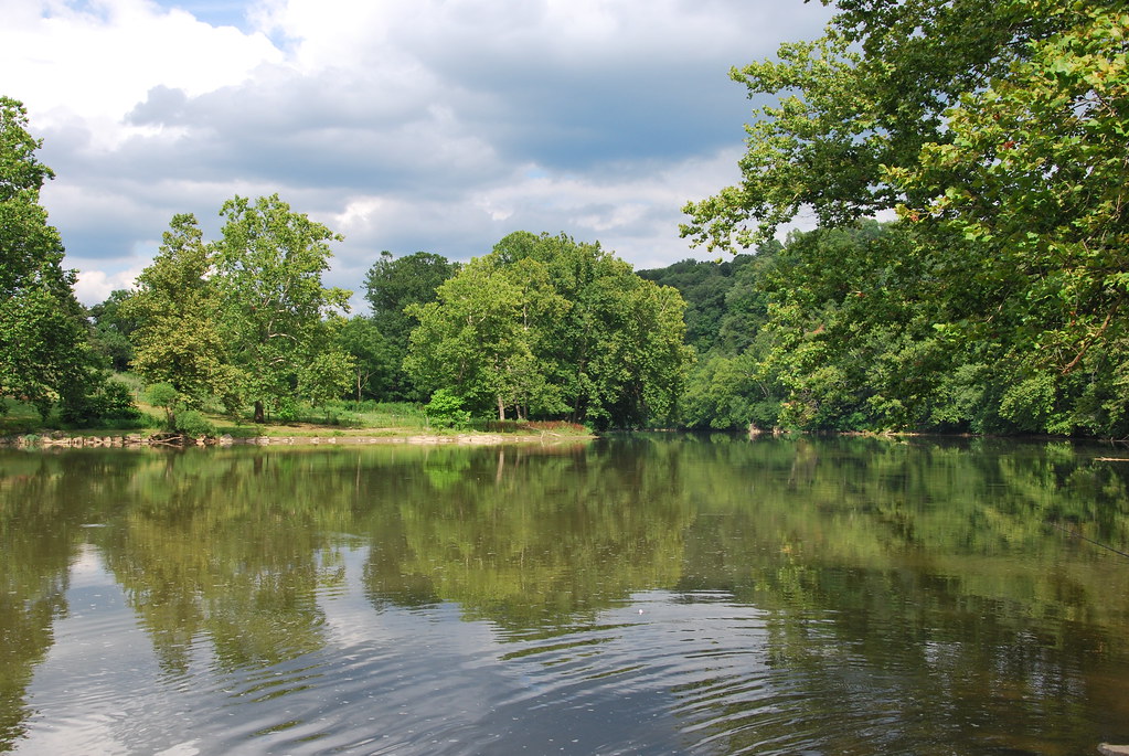
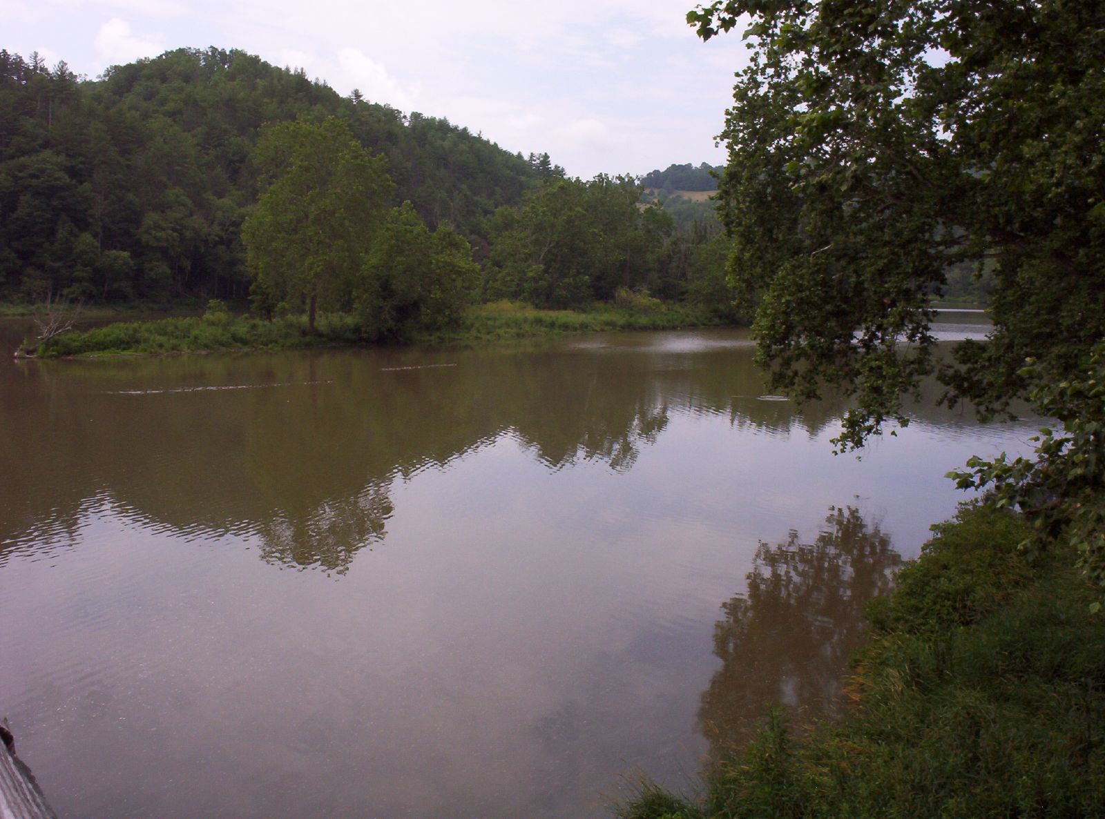
New River at Austinville, VA
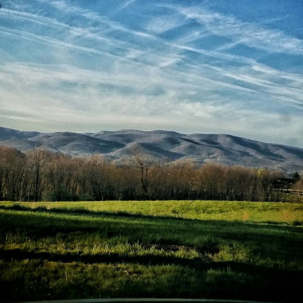
In the foothills of the Blue Ridge Mountains #virginia #america #mountains #sunrise #goodmorning #blueskies #travel #roadtrip #theroadlesstraveled #driving #igersbuffalo

morning at foster falls
New River Trail 004
10-NewRiverFosterFalls
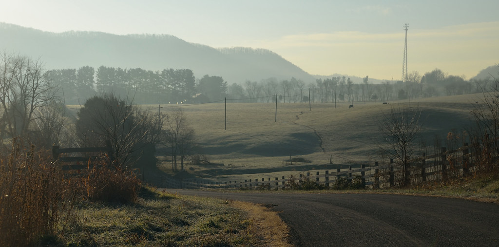
2-FrostyMorningNearShotTower
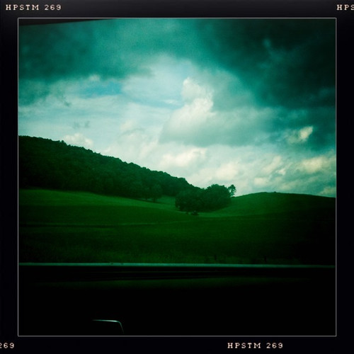
Driving through beautiful landscapes on an overcast day
New River Trail 011
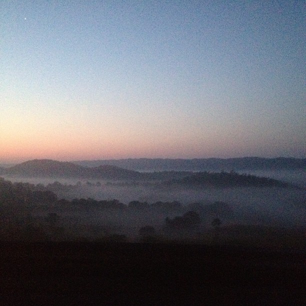
Sunrise this morning somewhere on our way home from the beach. Foggy.
Wytheville,VA1

Biking the New River trail
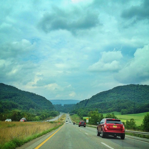
On the road.
New River Trail 025

9-NewRiverFosterFalls
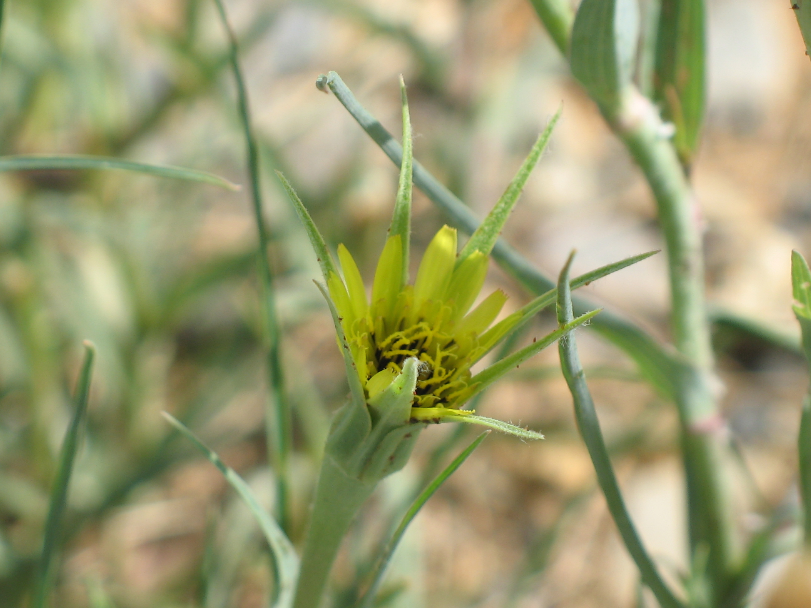
Yellow Goatsbeard - Tragopogon dubius
Topographic Map of Peppers Ferry Road, Peppers Ferry Rd, Virginia, USA
Find elevation by address:

Places near Peppers Ferry Road, Peppers Ferry Rd, Virginia, USA:
527 Wildlife Drive
Millers Creek Road
Max Meadows
Heather Lane
Heather Lane
Fort Chiswell
Fort Chiswell
615 Lots Gap Rd
574 Whispering Pines Rd
716 Meadow View Ln
190 Gilland Rd
150 Hamilton Ln
3040 Crockett's Cove Rd
Indian Meadow Lane
Indian Meadow Lane
Crockett's Cove Road
1015 Conners Valley Rd
1007 Sheffey School Rd
VA-, Wytheville, VA, USA
Peppers Ferry Rd, Max Meadows, VA, USA
Recent Searches:
- Elevation of Corso Fratelli Cairoli, 35, Macerata MC, Italy
- Elevation of Tallevast Rd, Sarasota, FL, USA
- Elevation of 4th St E, Sonoma, CA, USA
- Elevation of Black Hollow Rd, Pennsdale, PA, USA
- Elevation of Oakland Ave, Williamsport, PA, USA
- Elevation of Pedrógão Grande, Portugal
- Elevation of Klee Dr, Martinsburg, WV, USA
- Elevation of Via Roma, Pieranica CR, Italy
- Elevation of Tavkvetili Mountain, Georgia
- Elevation of Hartfords Bluff Cir, Mt Pleasant, SC, USA