Elevation of Gilland Rd, Max Meadows, VA, USA
Location: United States > Virginia > Wythe County > Fort Chiswell > Max Meadows >
Longitude: -80.943652
Latitude: 36.9277413
Elevation: 673m / 2208feet
Barometric Pressure: 93KPa
Elevation Map:
Satellite Map:
Related Photos:
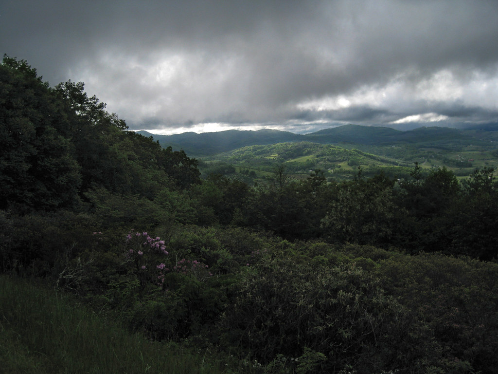
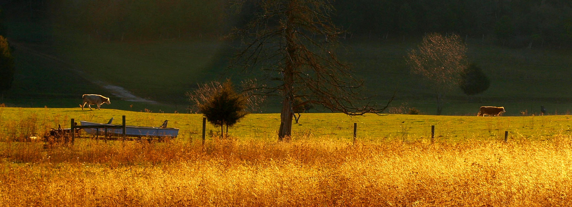
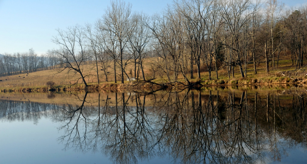
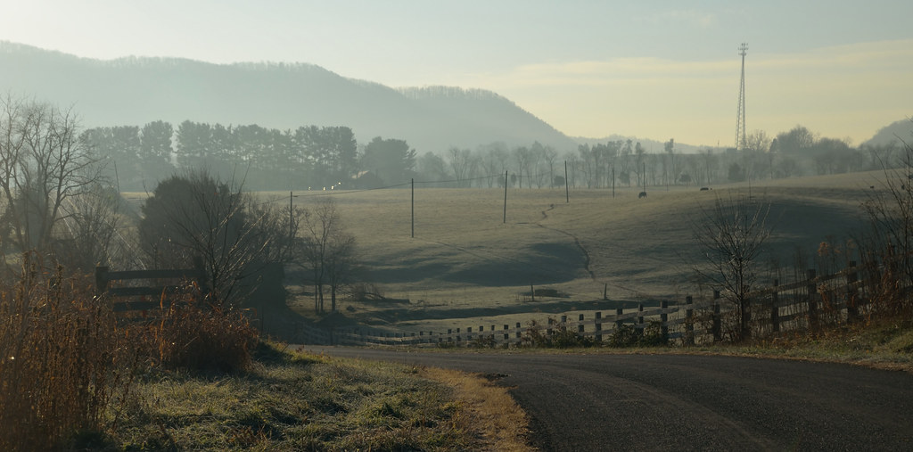
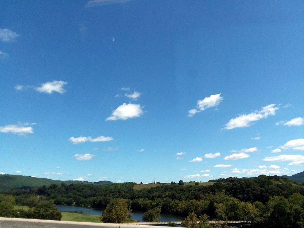
Blue Ridge Parkway View
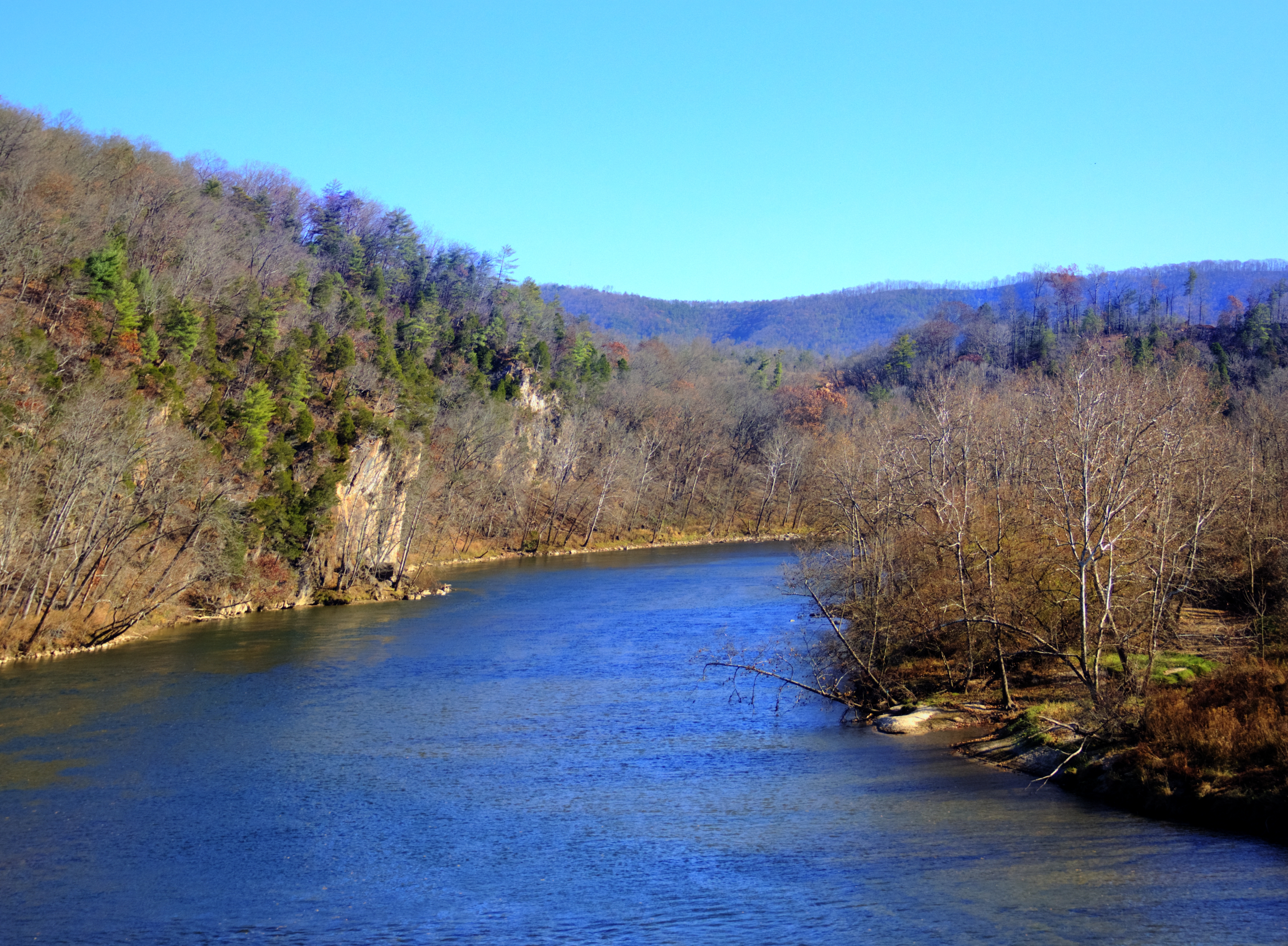
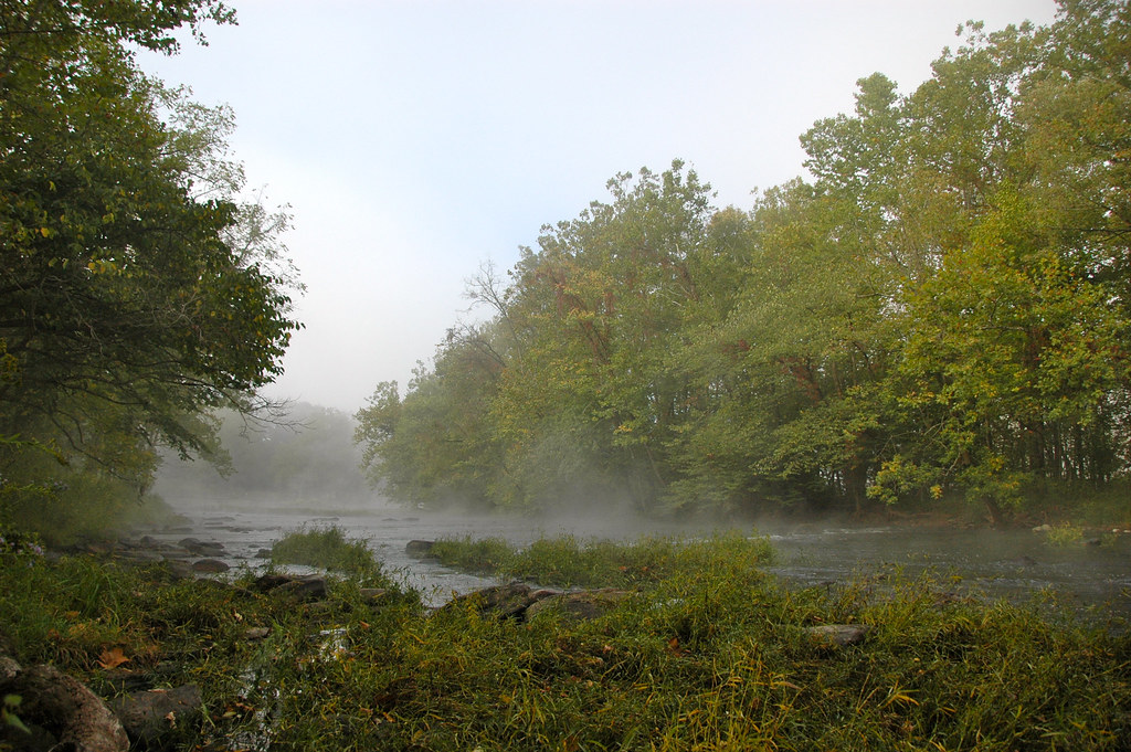
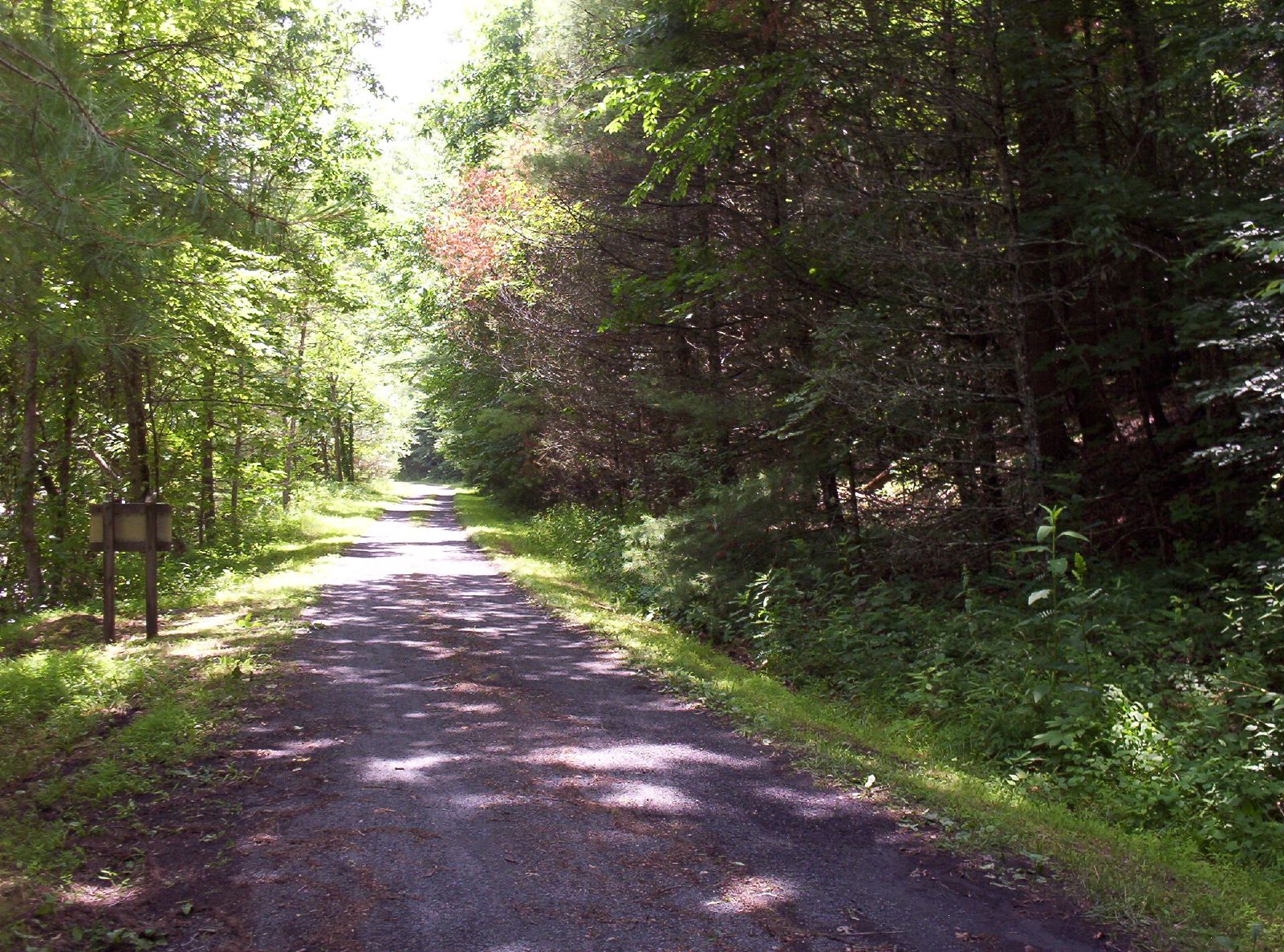
New River Rail/Trail
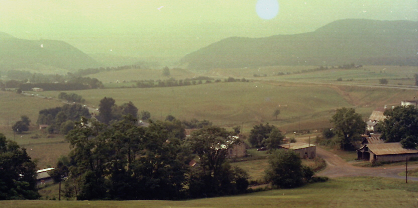
Shot Tower Historical State Park, Wythe County (Va.), 4 August 1978
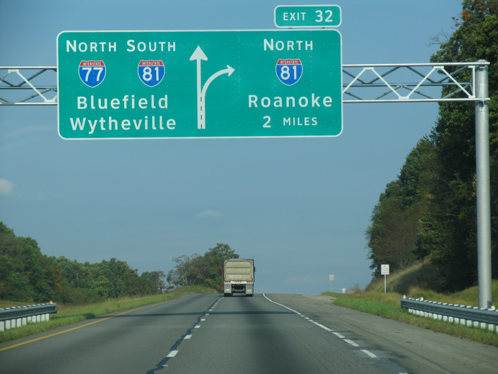
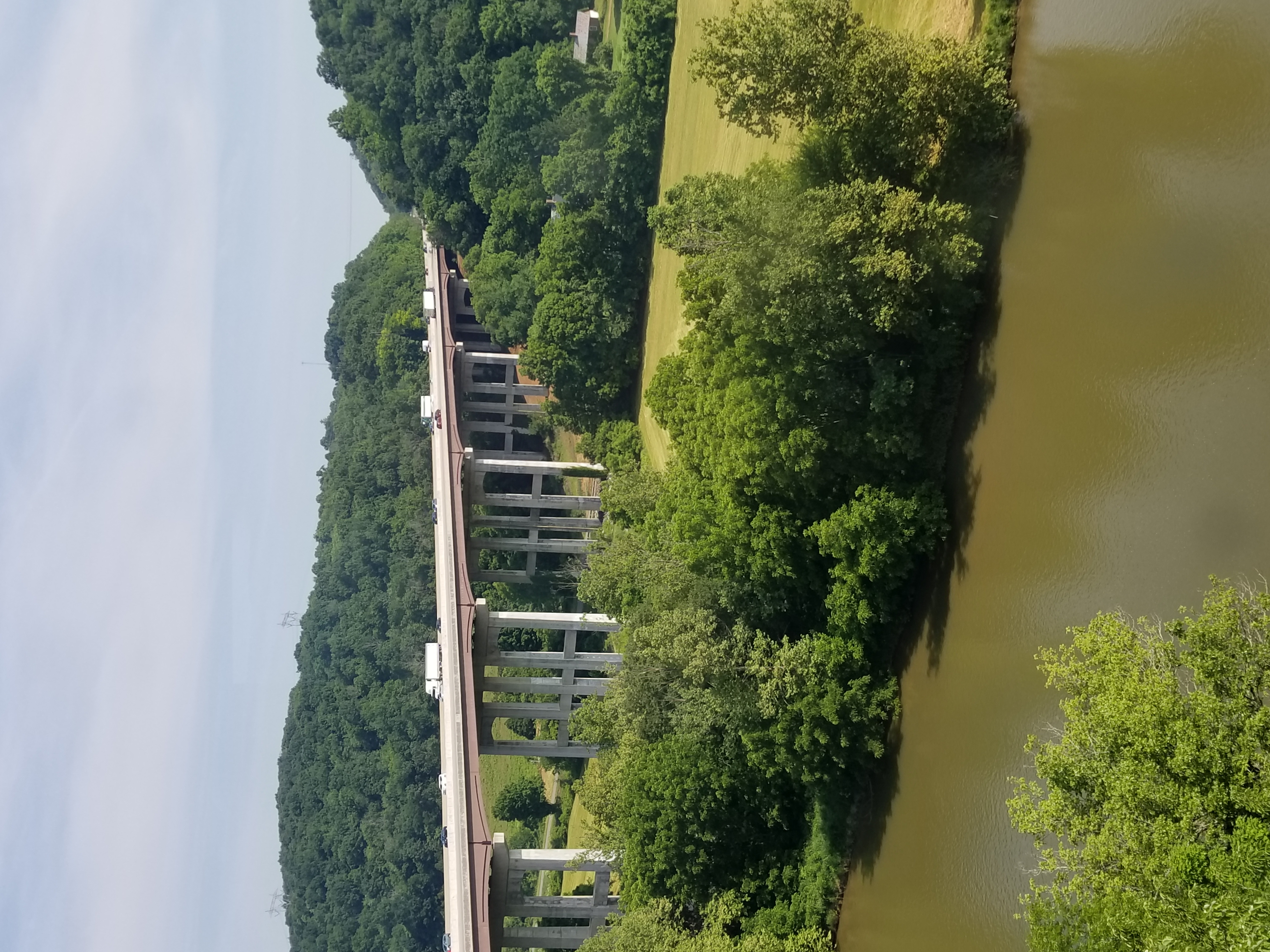
I-77 North Virginia - Exit 32
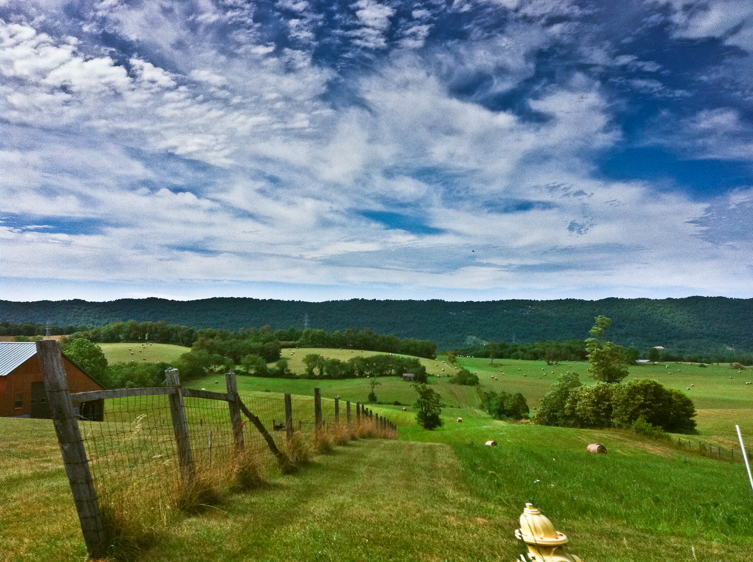
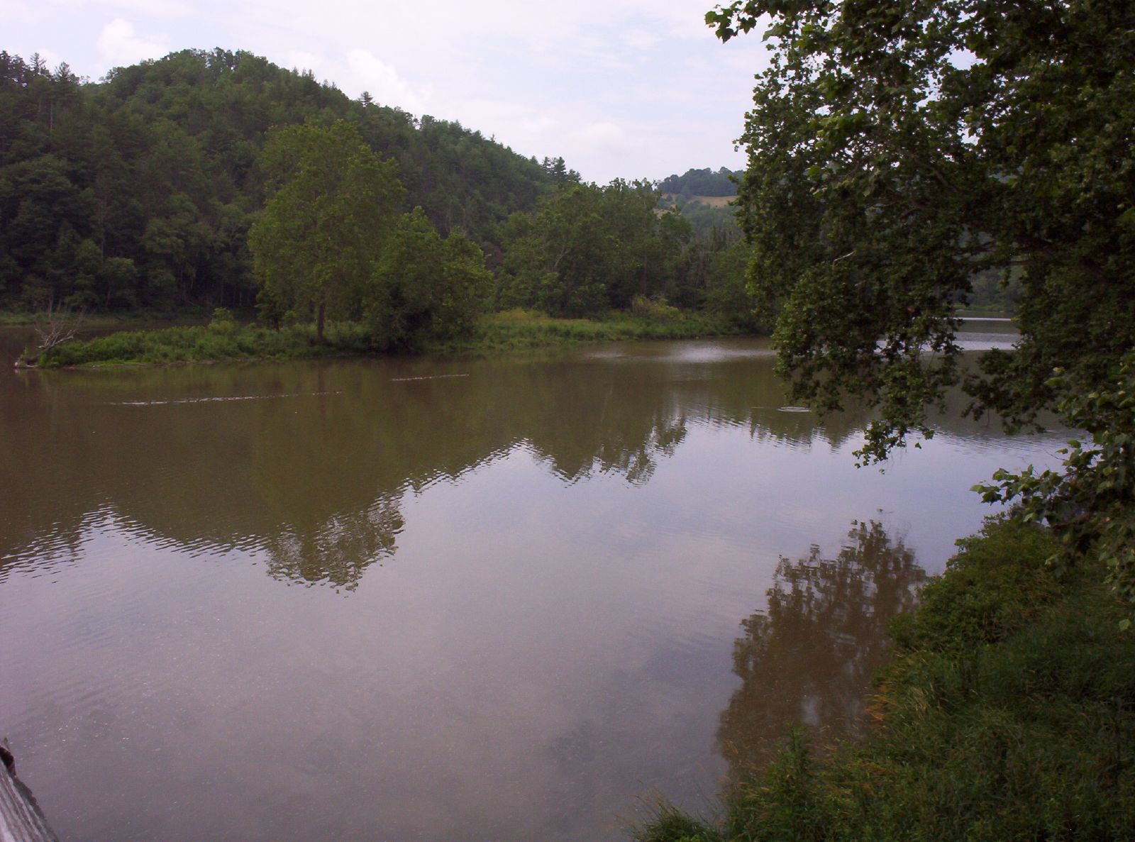
New River Trail State Park
New River Trail State Park
#travel #wanderlust #trip #vacation #travelgram #holiday #instatravel #beautiful #travelling #instagood #vsco #photooftheday #tourism #usa #picoftheday #travelphotography #roadtrip #vscocam #view #traveling #summer #road #explore #driving #ontheroad #amer
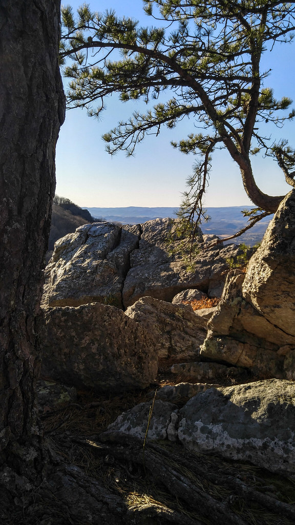
High Rocks Trail, Wytheville VA.

Thanks so much for all the views and subscribers!

Hanging at High Rocks. Wytheville VA

View from roof of Bolling Wilson Hotel

View from roof of Bolling Wilson Hotel

View from the parking lot
Robert D. Cook 2010 "Walking Home"
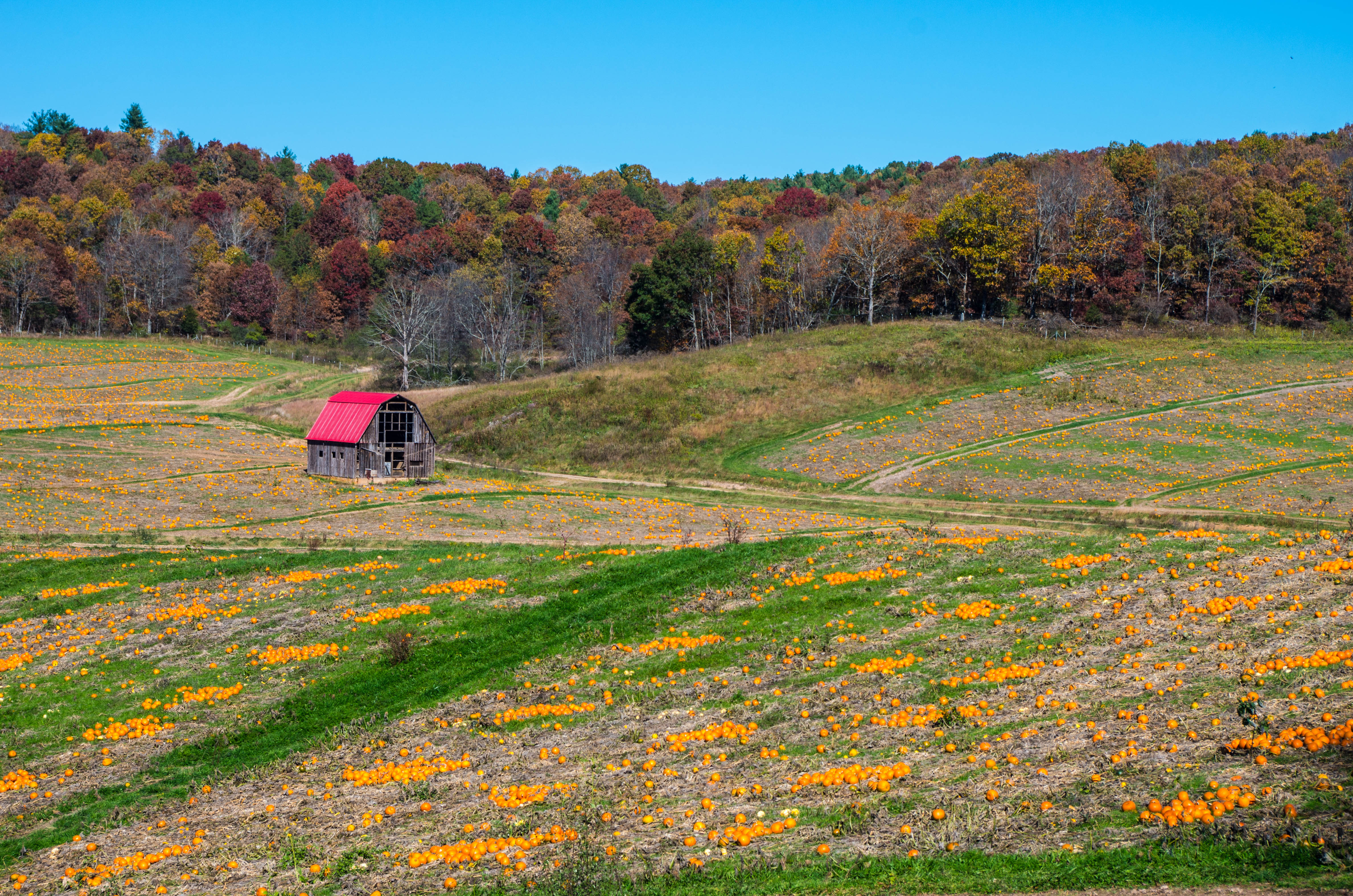
morning at foster falls

IMG_2835-Edit.jpg
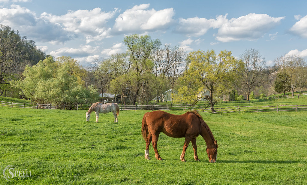
Springtime at Foster Falls Horse Livery
Robert D. Cook 2010
10-NewRiverFosterFalls
From my Window
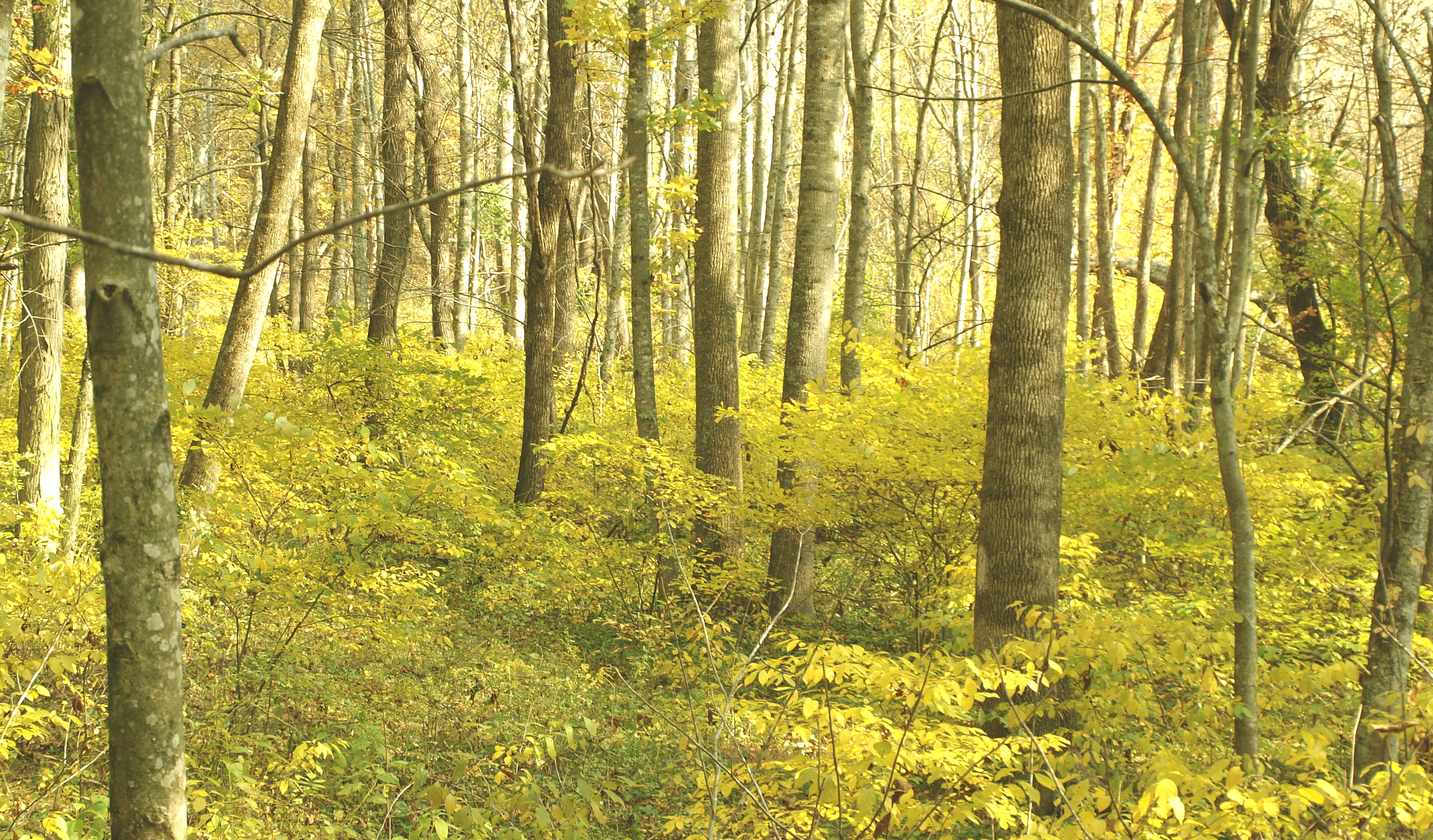
Spring is springing on the New River Trail.
IMGP8023.jpg
2-FrostyMorningNearShotTower
New River Trail 011
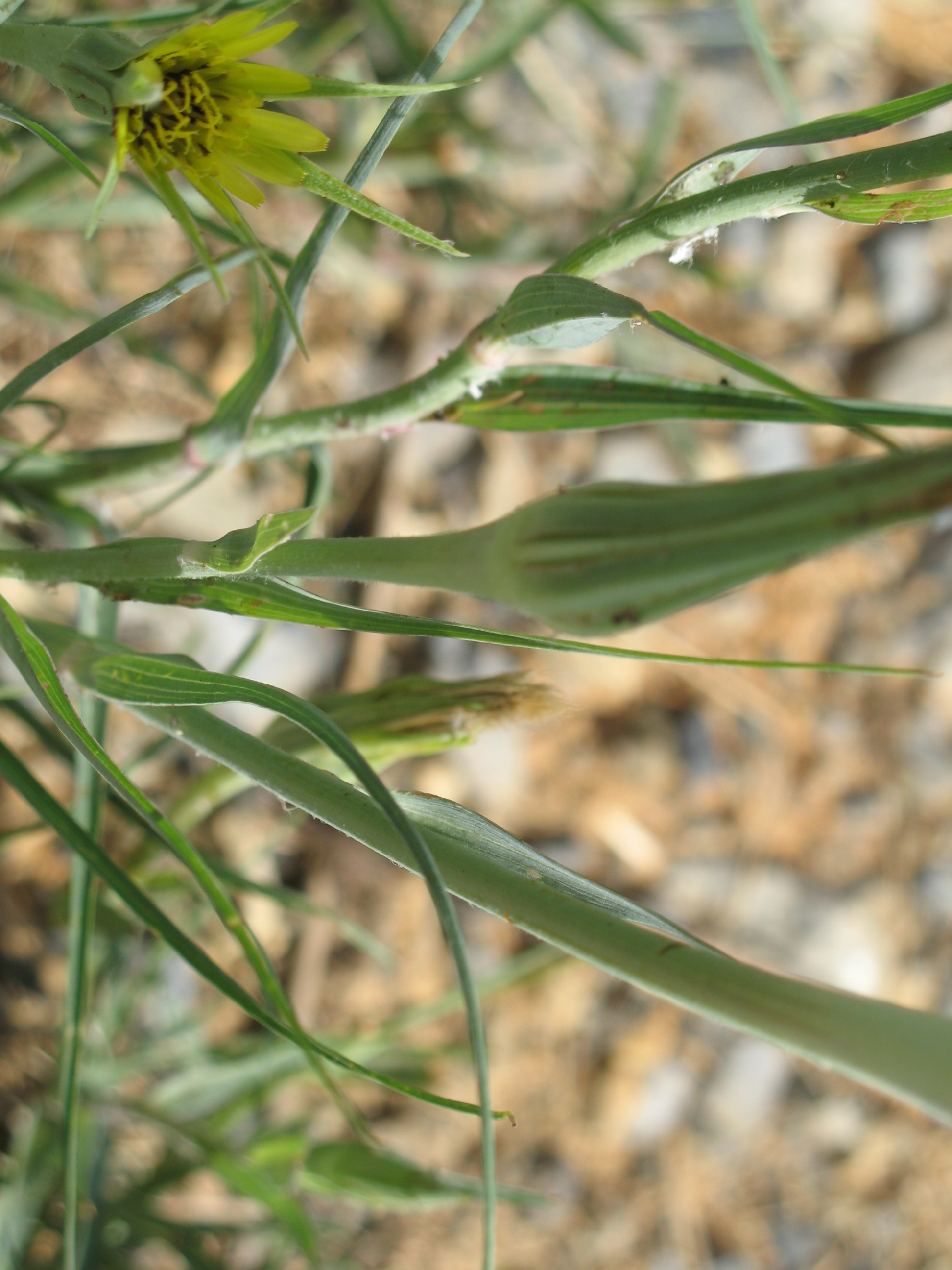
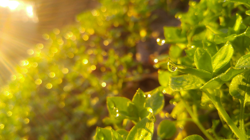
Yellow Goatsbeard - Tragopogon dubius
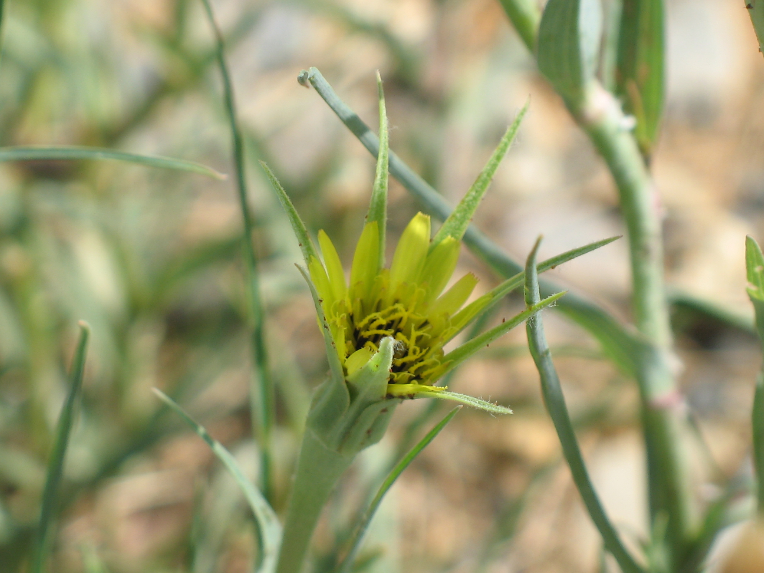
Yellow Goatsbeard - Tragopogon dubius

Biking the New River trail
New River Trail 025

iPhone 4S

Robert D. Cook 2010
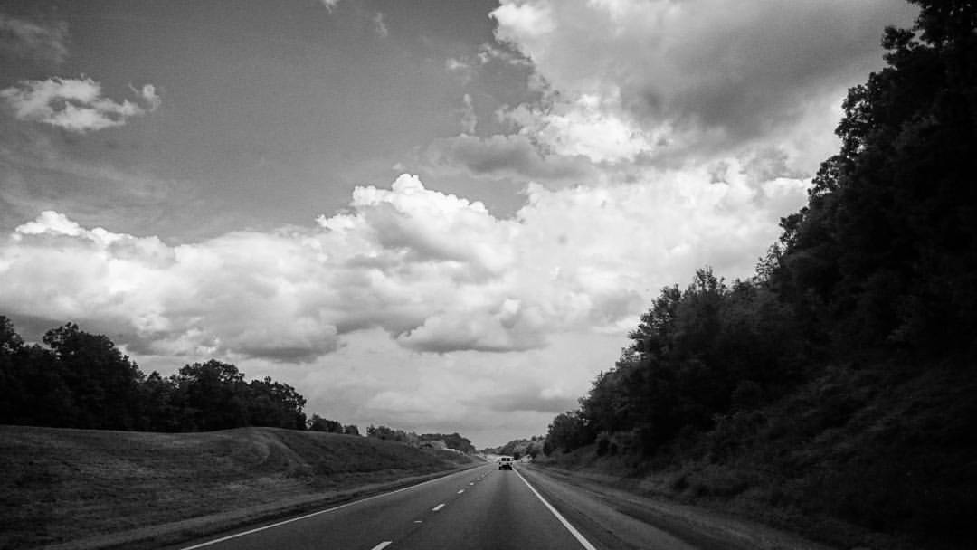
Interstate 77 In Virginia.
Topographic Map of Gilland Rd, Max Meadows, VA, USA
Find elevation by address:

Places near Gilland Rd, Max Meadows, VA, USA:
574 Whispering Pines Rd
Fort Chiswell
615 Lots Gap Rd
Max Meadows
Fort Chiswell
150 Hamilton Ln
Peppers Ferry Road
1015 Conners Valley Rd
Millers Creek Road
527 Wildlife Drive
Heather Lane
Heather Lane
359 Fox Mountain Rd
359 Fox Mountain Rd
716 Meadow View Ln
Peppers Ferry Rd, Max Meadows, VA, USA
Gunton Park Road
VA-, Wytheville, VA, USA
Indian Meadow Lane
Indian Meadow Lane
Recent Searches:
- Elevation of Elwyn Dr, Roanoke Rapids, NC, USA
- Elevation of Congressional Dr, Stevensville, MD, USA
- Elevation of Bellview Rd, McLean, VA, USA
- Elevation of Stage Island Rd, Chatham, MA, USA
- Elevation of Shibuya Scramble Crossing, 21 Udagawacho, Shibuya City, Tokyo -, Japan
- Elevation of Jadagoniai, Kaunas District Municipality, Lithuania
- Elevation of Pagonija rock, Kranto 7-oji g. 8"N, Kaunas, Lithuania
- Elevation of Co Rd 87, Jamestown, CO, USA
- Elevation of Tenjo, Cundinamarca, Colombia
- Elevation of Côte-des-Neiges, Montreal, QC H4A 3J6, Canada