Elevation of Pea Ridge Rd, Waddy, KY, USA
Location: United States > Kentucky > Shelby County > Waddy >
Longitude: -85.089751
Latitude: 38.0937321
Elevation: 267m / 876feet
Barometric Pressure: 98KPa
Elevation Map:
Satellite Map:
Related Photos:

Obstacle Construction For The Capitol City River Dash

Rearview Sunset

Plantation Inn 4

Plantation Inn 8

Wildlife Viewing

Rearview Sunset (remixed)

Lake view seating . . . . . #naturephotography #iphonephotography #photoart #wildlifephotography #sunset #sunrise #cloudscapes #cloudporn #travel #backroads #offbeat #quirky #roadsideamerica #nature #drivekentucky #kentucky #awesomebutgettingbetter #wild

Occluded View

View from Fox Creek Cemetery

20150709-RBI_9361

Gateway to a Dream

Kentucky Dawn
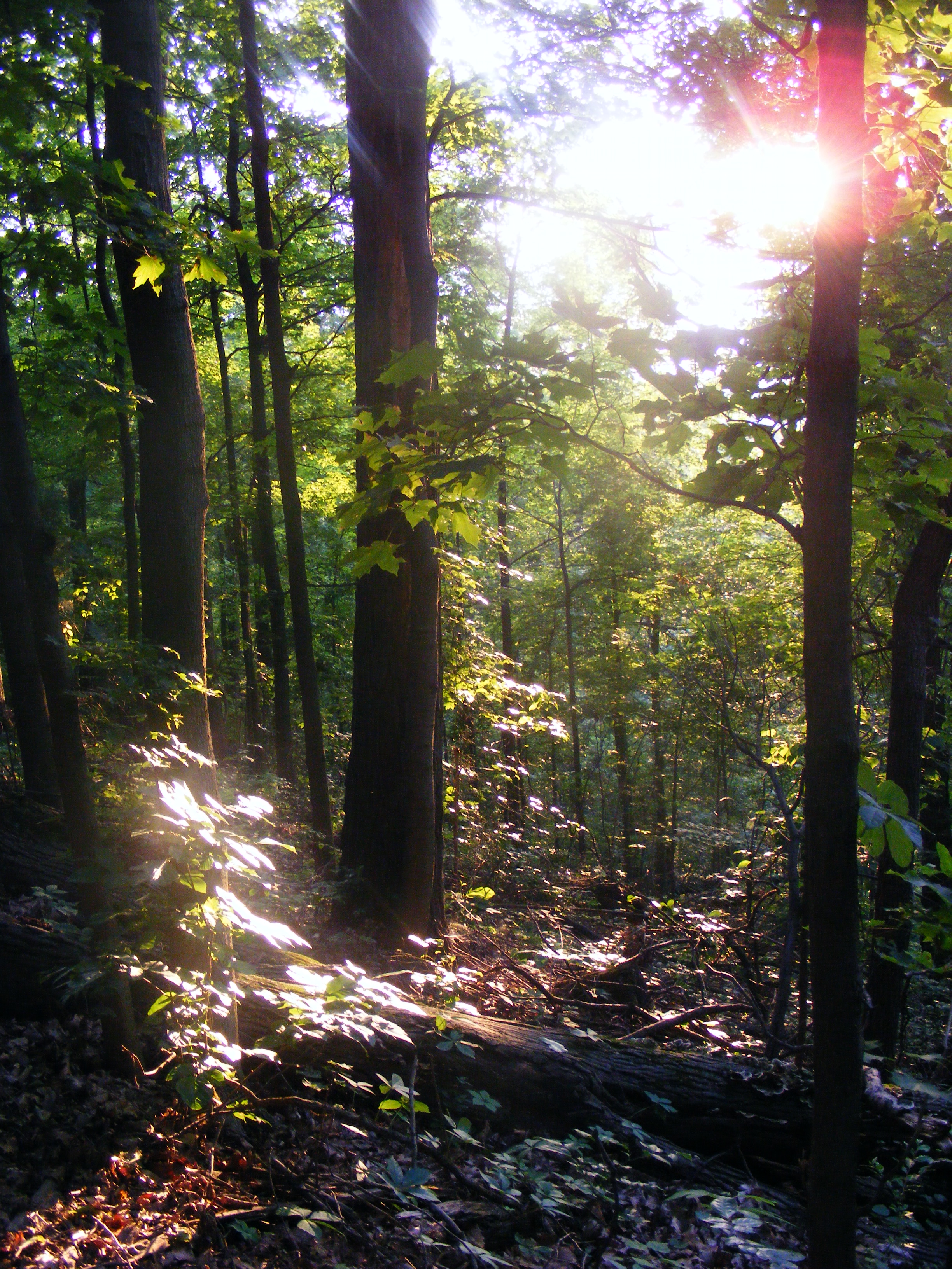
Late May at Jefferson Memorial Forest

20140815-IMG_3615.jpg

4-13-'19 055

Sunrise Over Kentucky
Topographic Map of Pea Ridge Rd, Waddy, KY, USA
Find elevation by address:

Places near Pea Ridge Rd, Waddy, KY, USA:
Hempridge Rd, Shelbyville, KY, USA
40 Van Buren Rd, Mt Eden, KY, USA
Little Mt Rd, Taylorsville, KY, USA
6 Figgs Store Rd, Shelbyville, KY, USA
Haley Rd, Shelbyville, KY, USA
Spencer County
Spencer County
Spencer County
Spencer County
Spencer County
Spencer County
Spencer County
Spencer County
108 Houston Ct
Taylorsville
Taylorsville
Taylorsville
Taylorsville
Taylorsville
Taylorsville
Recent Searches:
- Elevation of Congressional Dr, Stevensville, MD, USA
- Elevation of Bellview Rd, McLean, VA, USA
- Elevation of Stage Island Rd, Chatham, MA, USA
- Elevation of Shibuya Scramble Crossing, 21 Udagawacho, Shibuya City, Tokyo -, Japan
- Elevation of Jadagoniai, Kaunas District Municipality, Lithuania
- Elevation of Pagonija rock, Kranto 7-oji g. 8"N, Kaunas, Lithuania
- Elevation of Co Rd 87, Jamestown, CO, USA
- Elevation of Tenjo, Cundinamarca, Colombia
- Elevation of Côte-des-Neiges, Montreal, QC H4A 3J6, Canada
- Elevation of Bobcat Dr, Helena, MT, USA