Elevation of 40 Van Buren Rd, Mt Eden, KY, USA
Location: United States > Kentucky > Anderson County >
Longitude: -85.157434
Latitude: 37.9743346
Elevation: 175m / 574feet
Barometric Pressure: 99KPa
Elevation Map:
Satellite Map:
Related Photos:
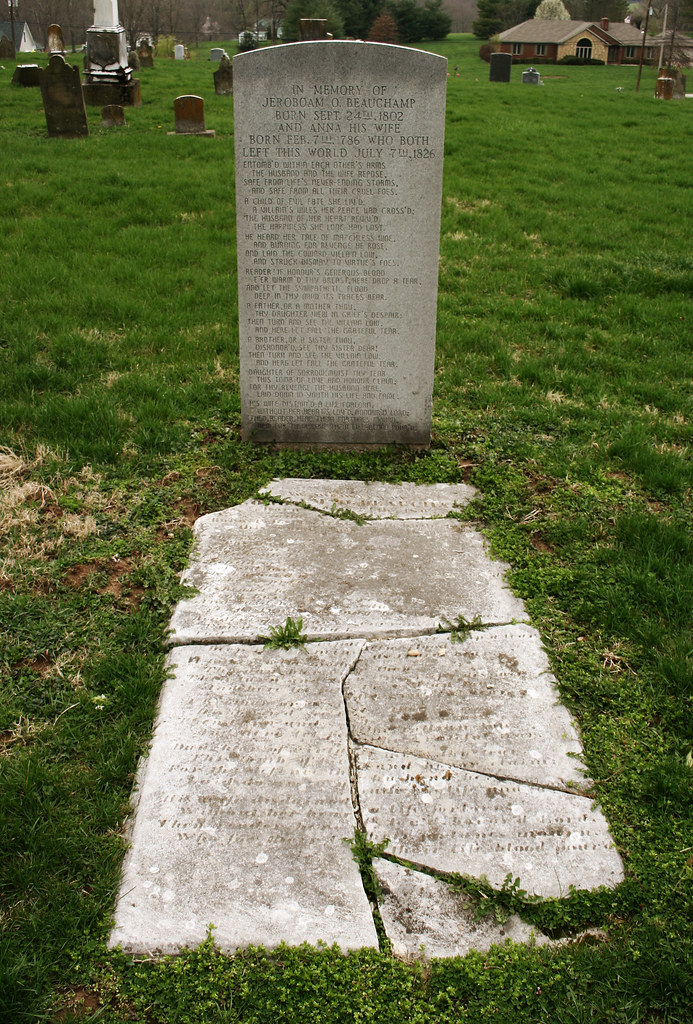
Two in One Grave

Meadow at Taylorsville

12-19-2012-18-17-5402-device-2000-wm

08-31-2014-17-16-06Photomatix-HDR-device-2000-wm

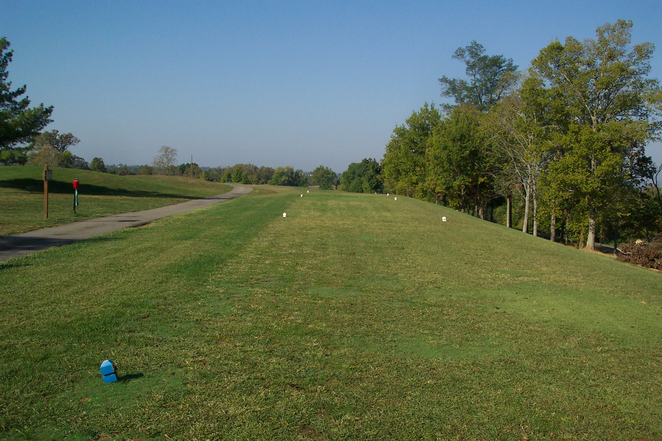
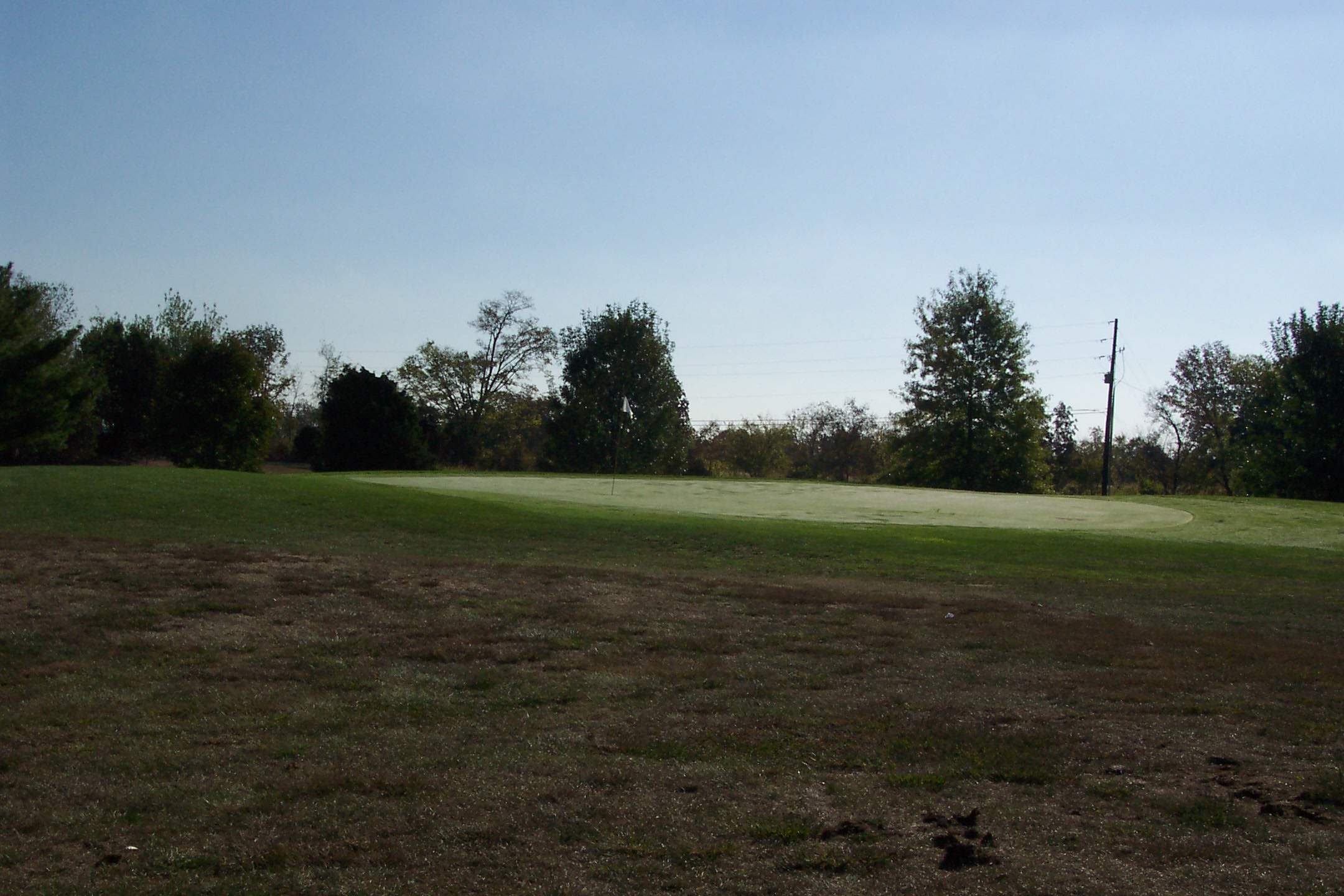
8th Tee
17th Tee
First Tee
6th Tee

10th - Bunkers Short

7th Tee

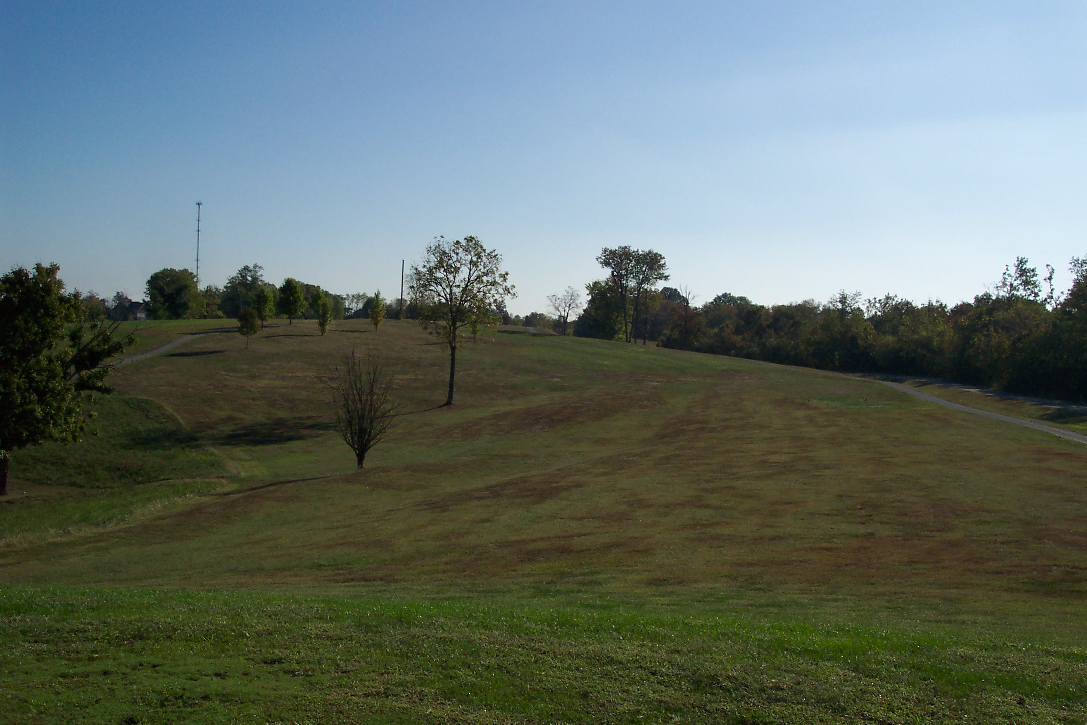
12th Tee

14th from about 200 yards
16th Green

11th Tee

14th from about 150

11th Fairway

10th Fairway
16th Tee
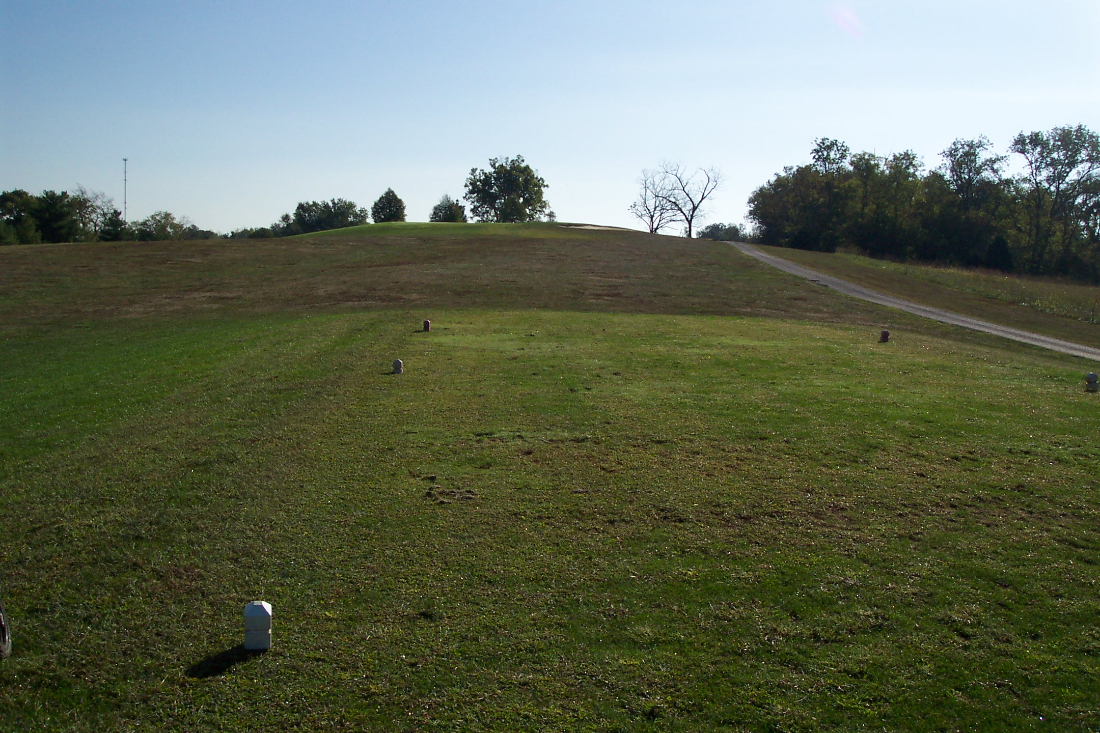
15th Tee

10th Tee
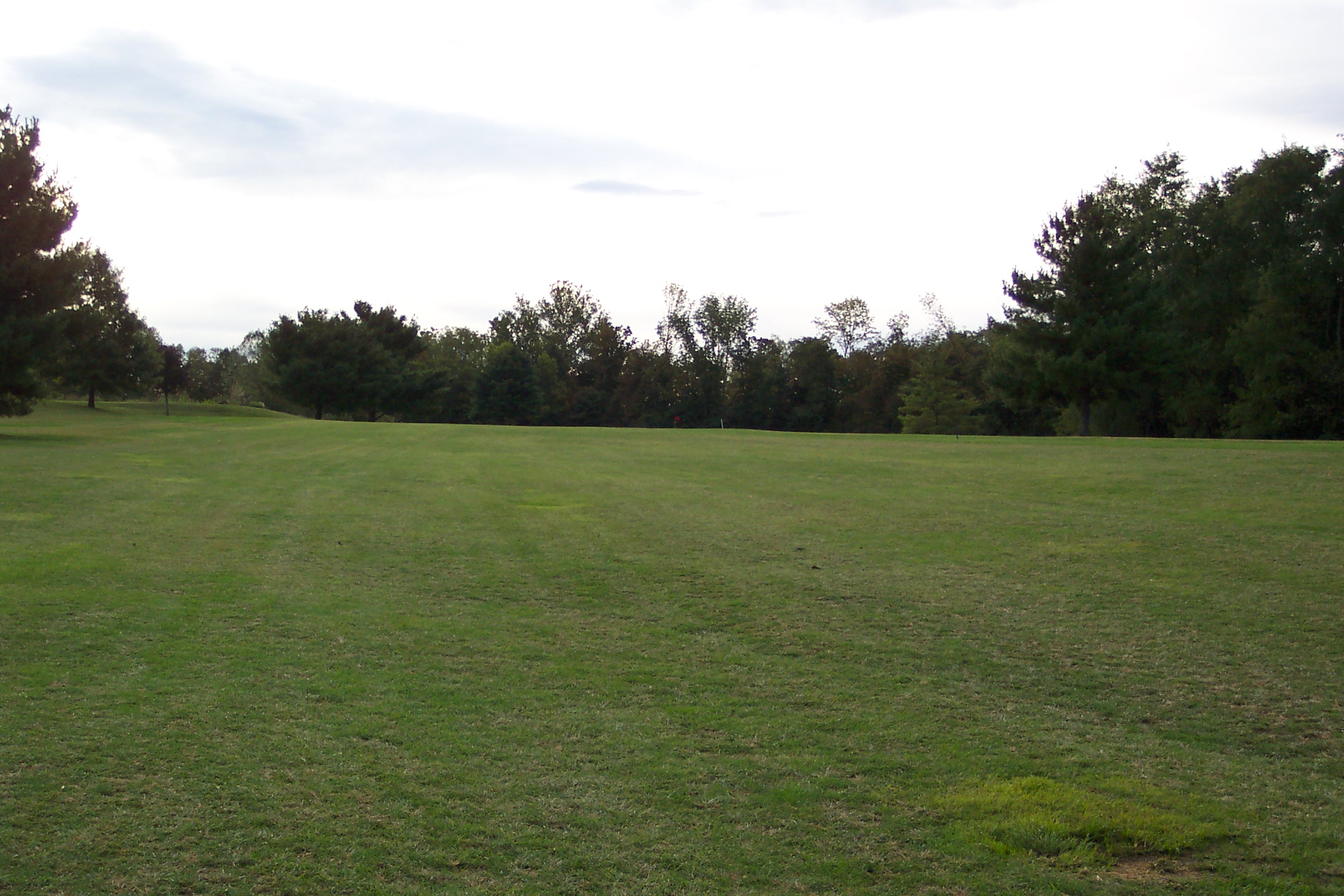
6th Fairway

18th Tee
Topographic Map of 40 Van Buren Rd, Mt Eden, KY, USA
Find elevation by address:

Places near 40 Van Buren Rd, Mt Eden, KY, USA:
Little Mt Rd, Taylorsville, KY, USA
5188 Pea Ridge Rd
Hempridge Rd, Shelbyville, KY, USA
Spencer County
Spencer County
Spencer County
Spencer County
Spencer County
Spencer County
Spencer County
Spencer County
6 Figgs Store Rd, Shelbyville, KY, USA
Haley Rd, Shelbyville, KY, USA
108 Houston Ct
Taylorsville
Taylorsville
Taylorsville
Taylorsville
Taylorsville
Taylorsville
Recent Searches:
- Elevation of Vista Blvd, Sparks, NV, USA
- Elevation of 15th Ave SE, St. Petersburg, FL, USA
- Elevation of Beall Road, Beall Rd, Florida, USA
- Elevation of Leguwa, Nepal
- Elevation of County Rd, Enterprise, AL, USA
- Elevation of Kolchuginsky District, Vladimir Oblast, Russia
- Elevation of Shustino, Vladimir Oblast, Russia
- Elevation of Lampiasi St, Sarasota, FL, USA
- Elevation of Elwyn Dr, Roanoke Rapids, NC, USA
- Elevation of Congressional Dr, Stevensville, MD, USA