Elevation of Taylorsville, KY, USA
Location: United States > Kentucky > Spencer County >
Longitude: -85.342453
Latitude: 38.0317304
Elevation: 150m / 492feet
Barometric Pressure: 100KPa
Elevation Map:
Satellite Map:
Related Photos:
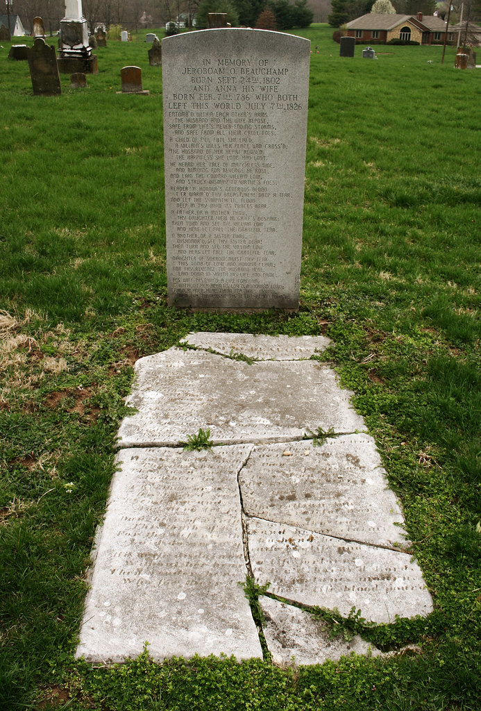
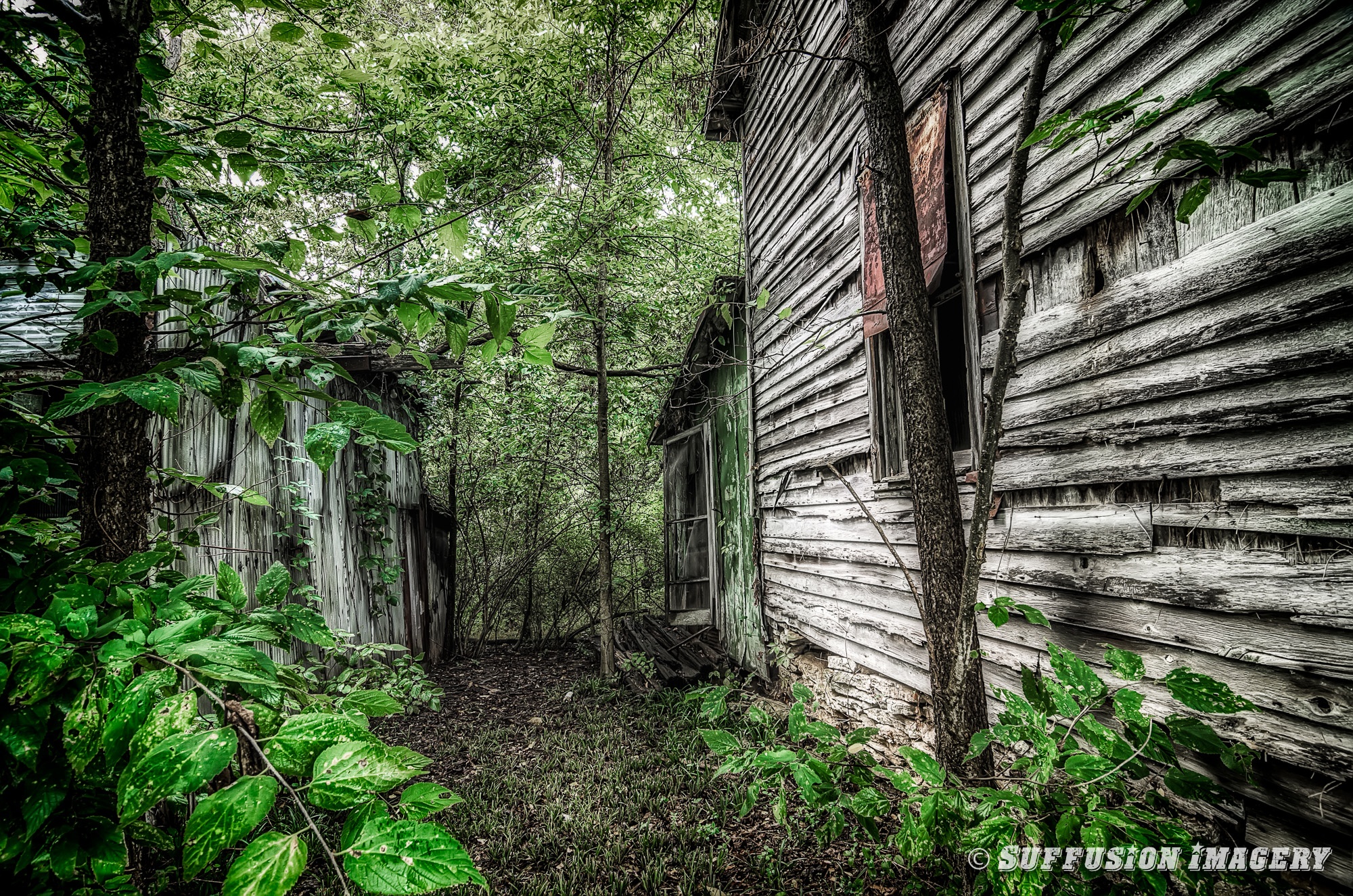
Two in One Grave

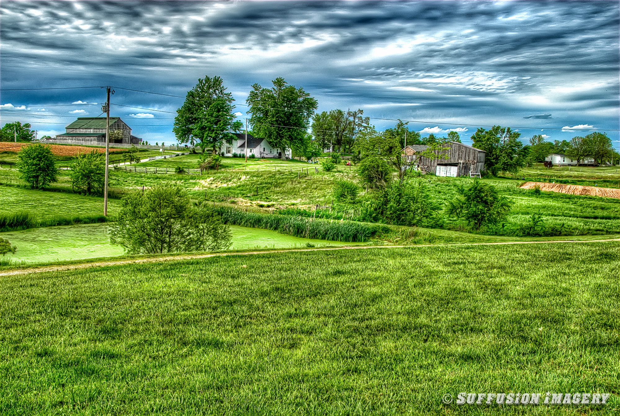
Meadow at Taylorsville

12-19-2012-18-17-5402-device-2000-wm
05-10-2009-044049-000-device-2000-wm
New snow

Winter Blues - Bullitt County, Kentucky
Winter Escape - Bullitt County, Kentucky
08-31-2014-17-16-06Photomatix-HDR-device-2000-wm
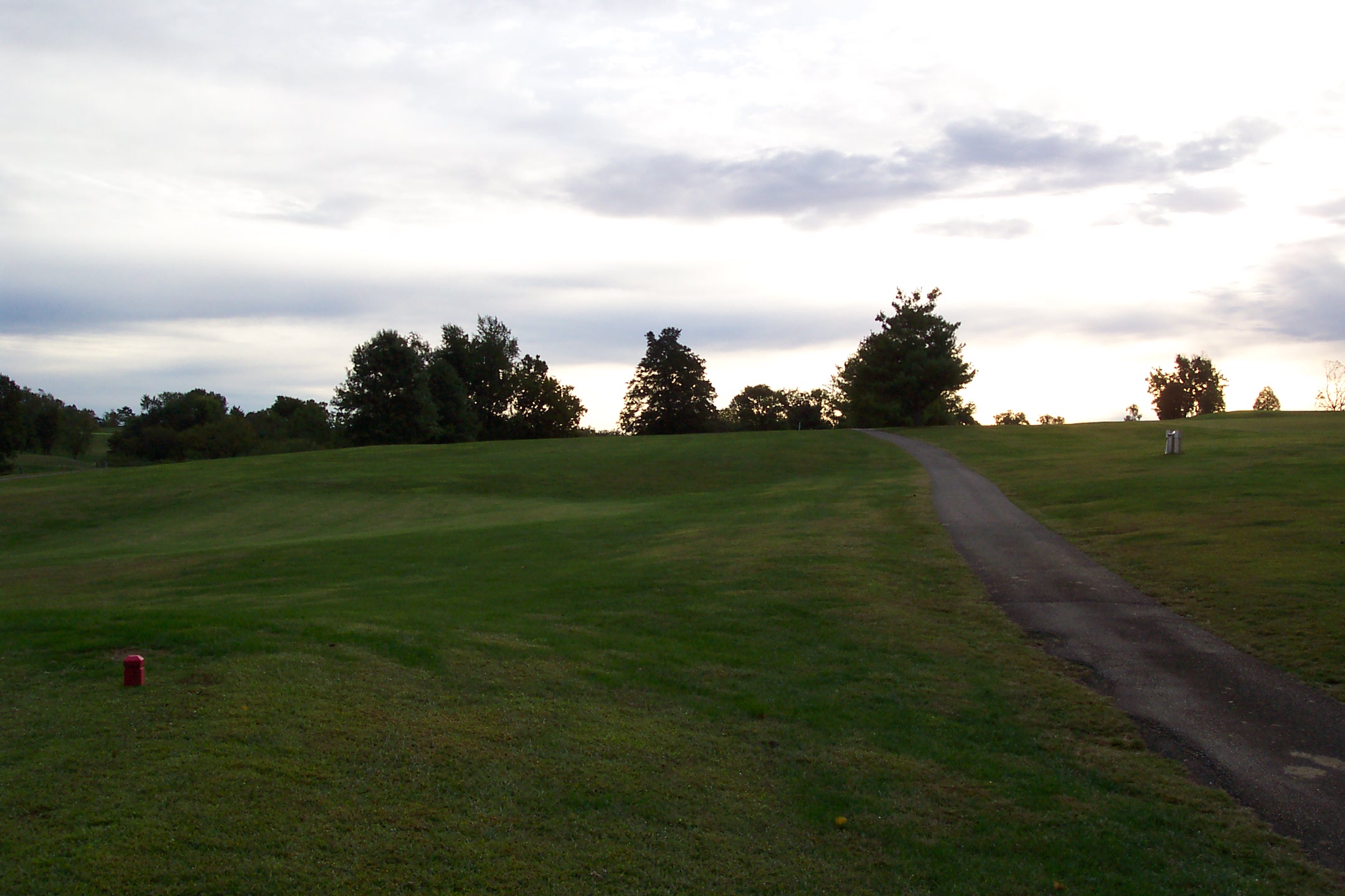
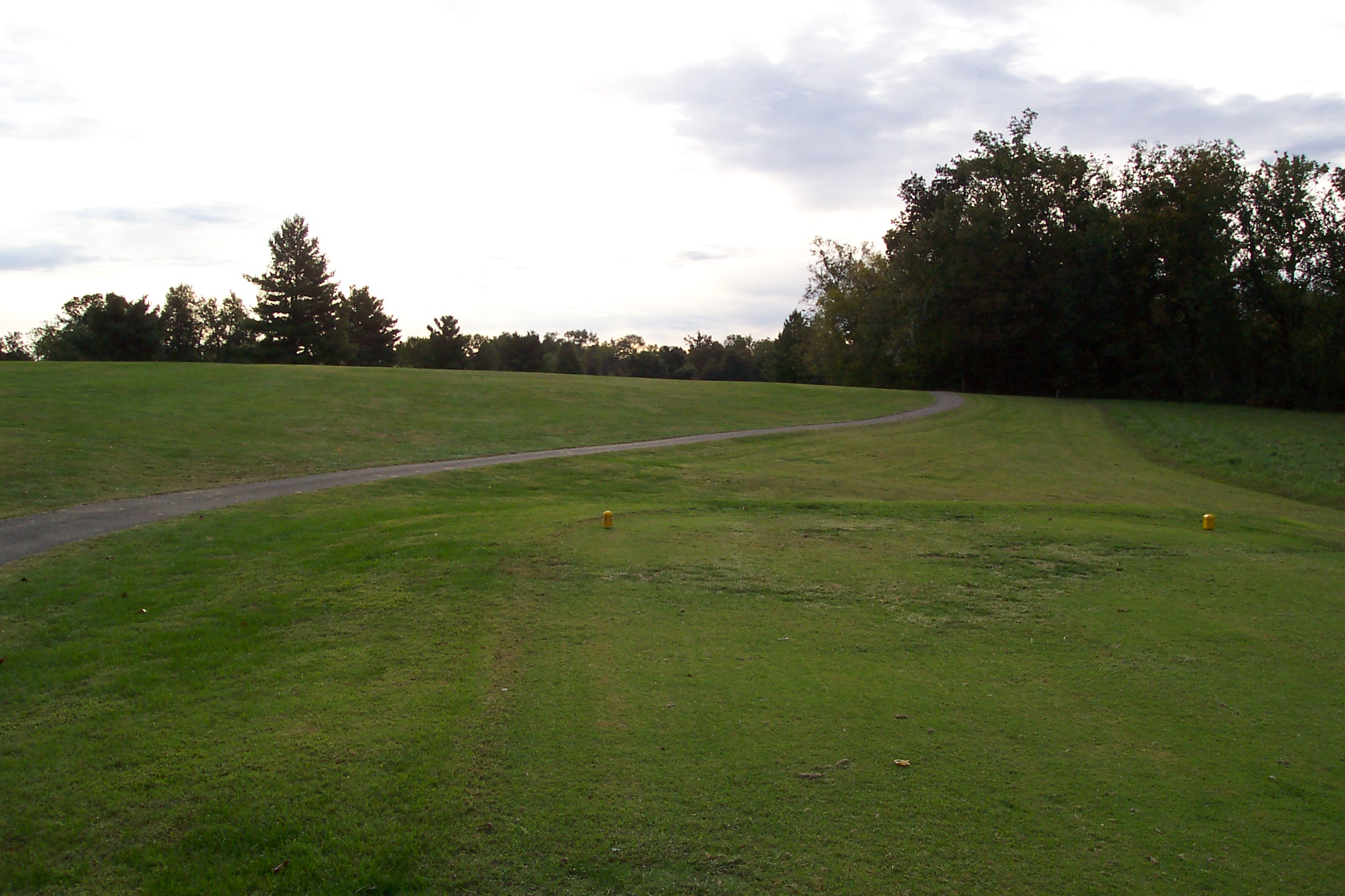
8th Tee

Winter Escape - Bullitt County, Ky.

Can't catch brandy
17th Tee
First Tee
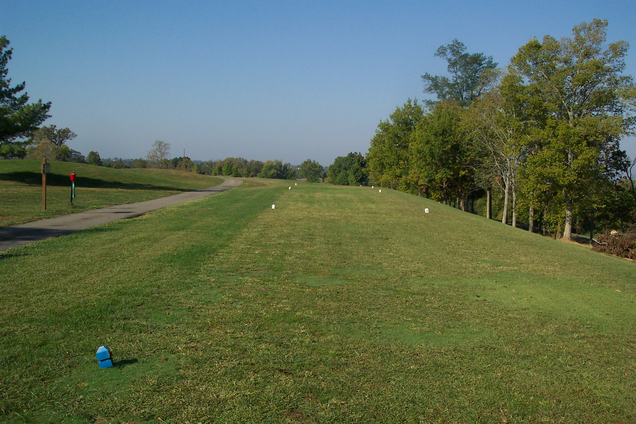
6th Tee
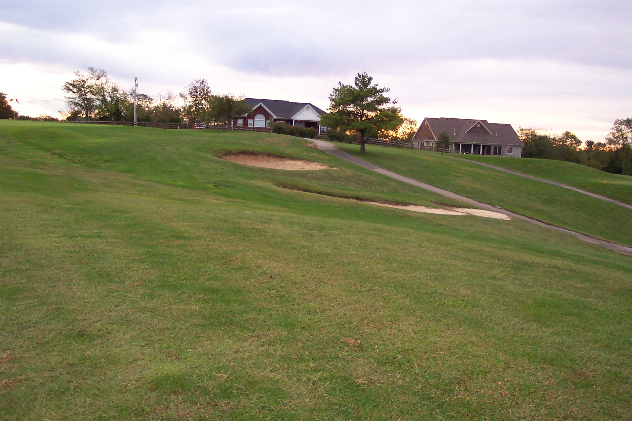
10th - Bunkers Short
7th Tee

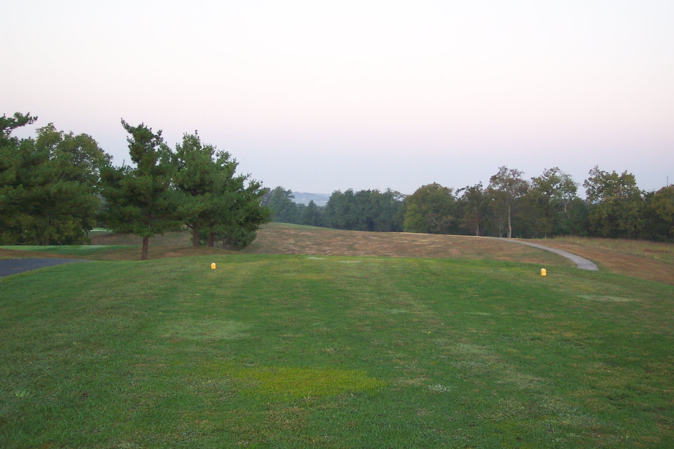
12th Tee

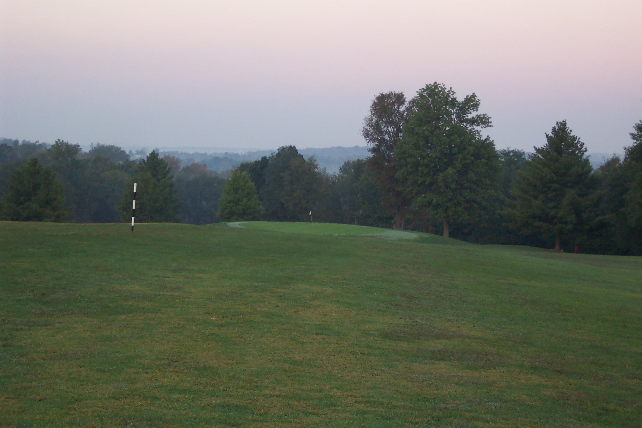
14th from about 200 yards

Weekend Winter

Early Morning Sunrise
First from 180
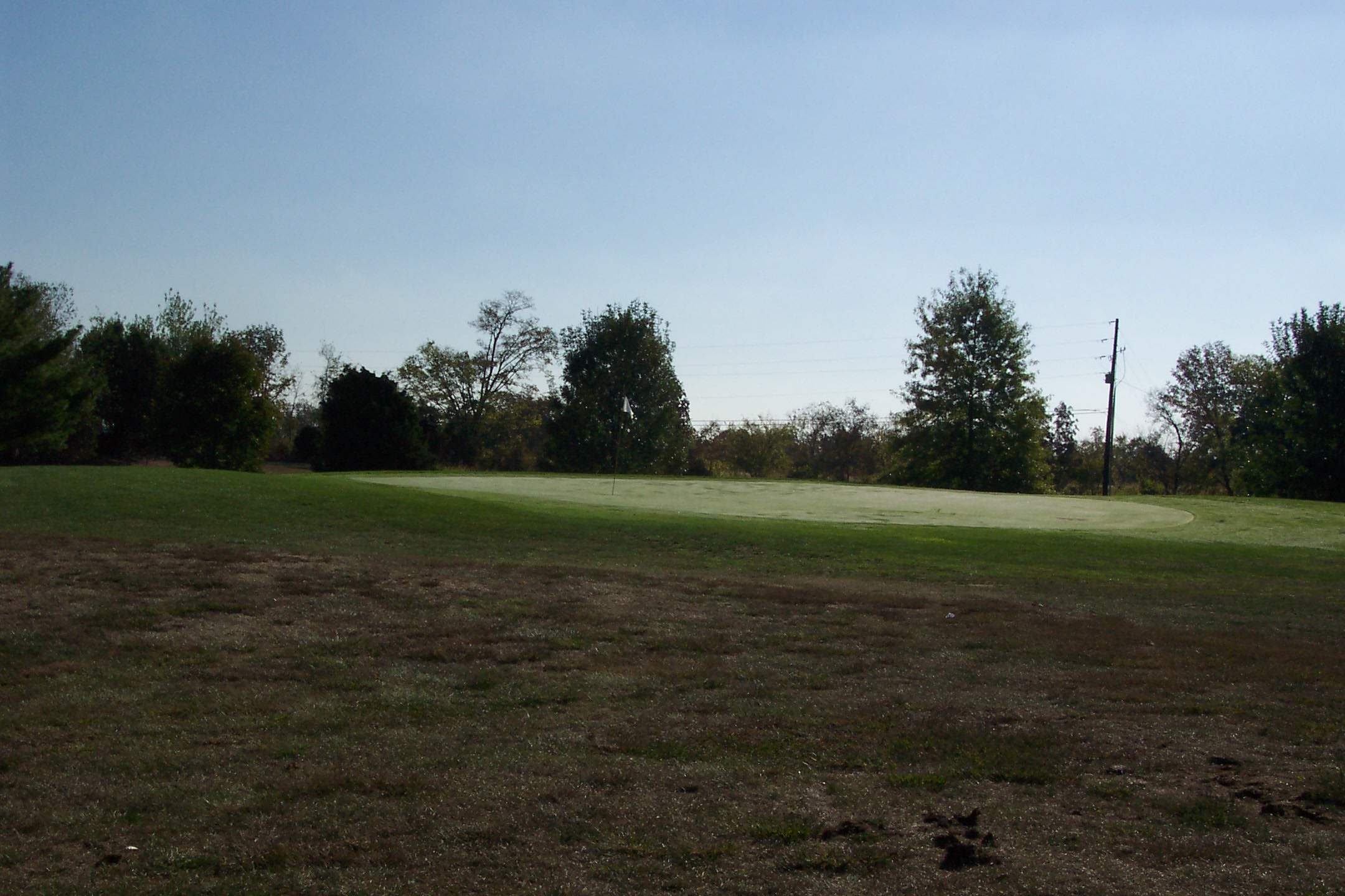
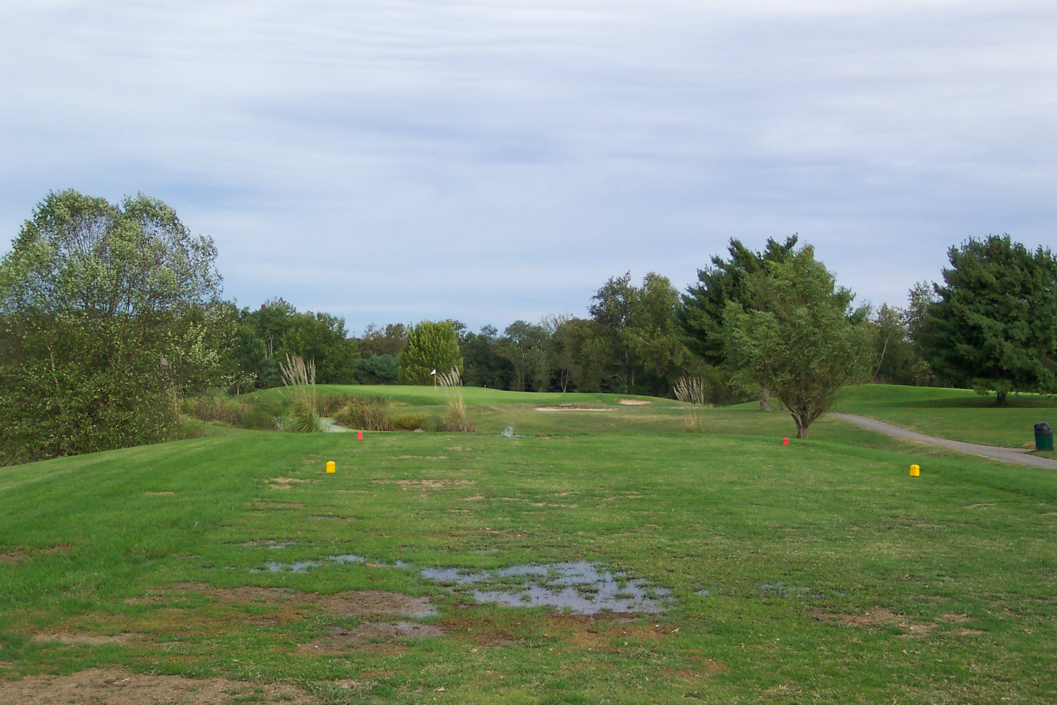
16th Green
Topographic Map of Taylorsville, KY, USA
Find elevation by address:

Places near Taylorsville, KY, USA:
Taylorsville
Taylorsville
Taylorsville
Taylorsville
Taylorsville
Taylorsville
108 Houston Ct
Spencer County
Spencer County
Spencer County
Spencer County
Spencer County
Spencer County
Spencer County
Spencer County
245 Lakeside Dr
Hardesty Ridge Road
Haley Rd, Shelbyville, KY, USA
Little Mt Rd, Taylorsville, KY, USA
60 Carol Dr
Recent Searches:
- Elevation of Corso Fratelli Cairoli, 35, Macerata MC, Italy
- Elevation of Tallevast Rd, Sarasota, FL, USA
- Elevation of 4th St E, Sonoma, CA, USA
- Elevation of Black Hollow Rd, Pennsdale, PA, USA
- Elevation of Oakland Ave, Williamsport, PA, USA
- Elevation of Pedrógão Grande, Portugal
- Elevation of Klee Dr, Martinsburg, WV, USA
- Elevation of Via Roma, Pieranica CR, Italy
- Elevation of Tavkvetili Mountain, Georgia
- Elevation of Hartfords Bluff Cir, Mt Pleasant, SC, USA