Elevation of Lakeside Dr, Taylorsville, KY, USA
Location: United States > Kentucky > Spencer County > Taylorsville >
Longitude: -85.362769
Latitude: 38.0740195
Elevation: 230m / 755feet
Barometric Pressure: 99KPa
Elevation Map:
Satellite Map:
Related Photos:

Fall Colors

daybreak at Floyd’s Fork overlook

selah · [empty spaces]
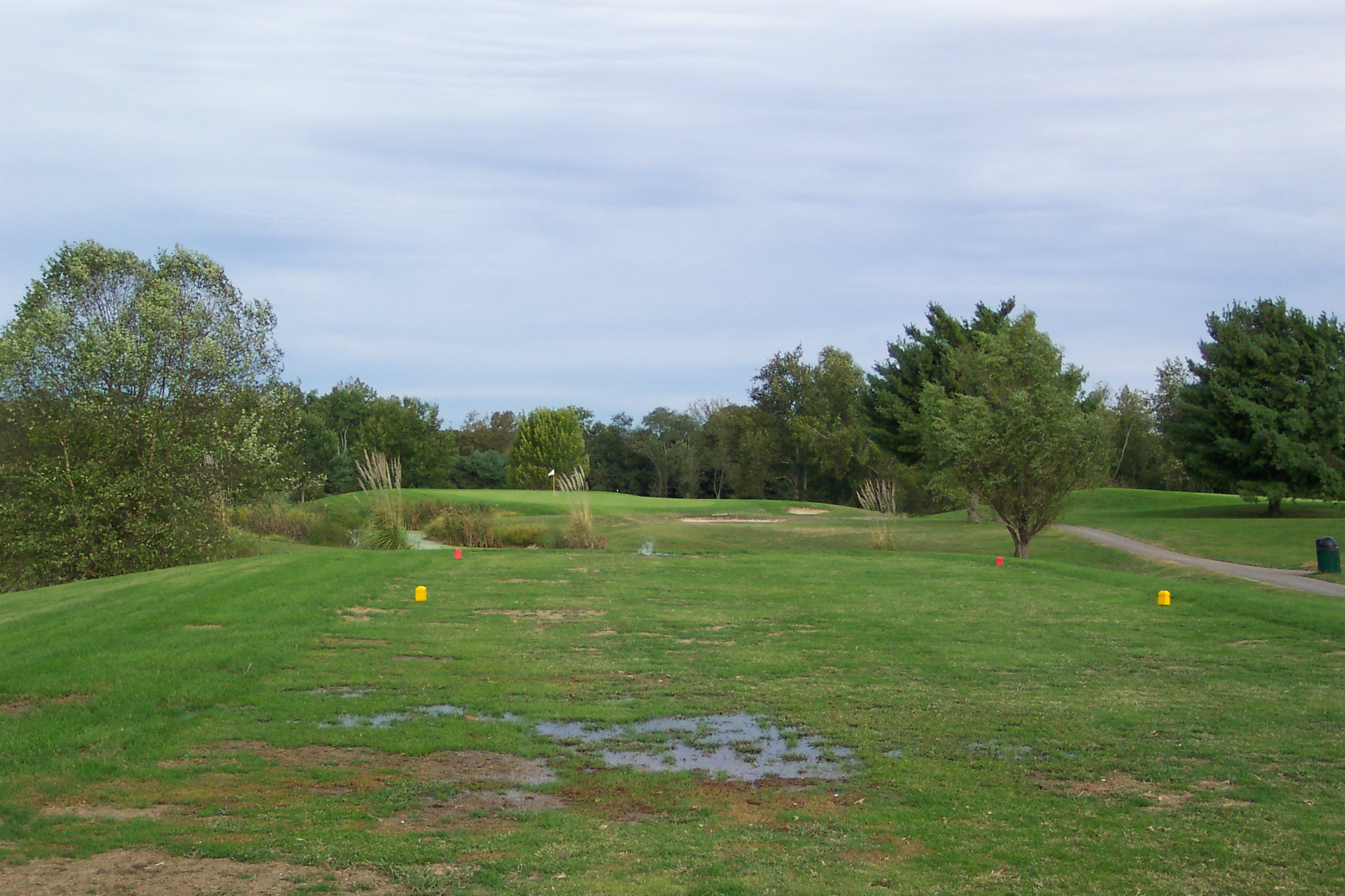
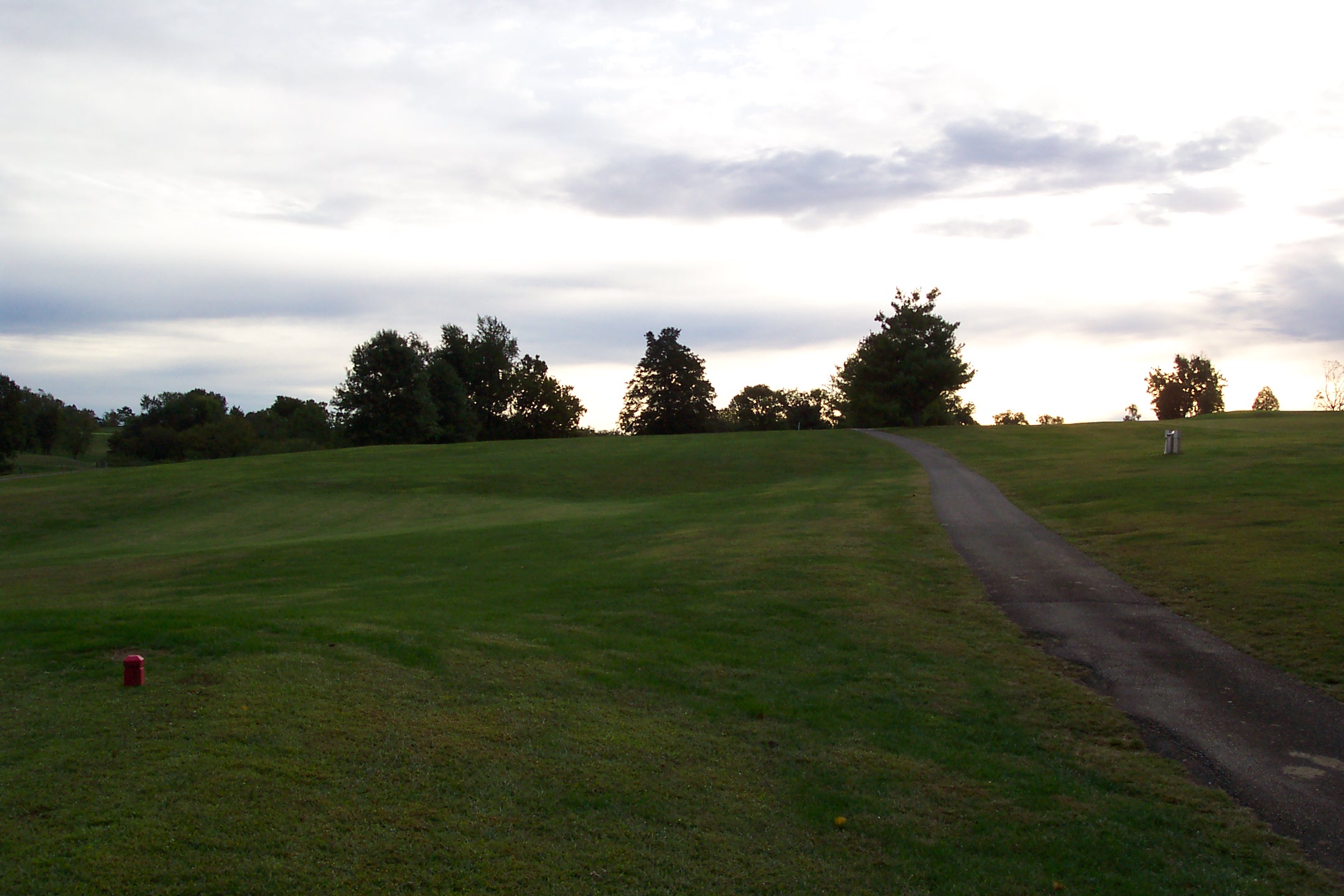
7th Tee

14th from about 200 yards
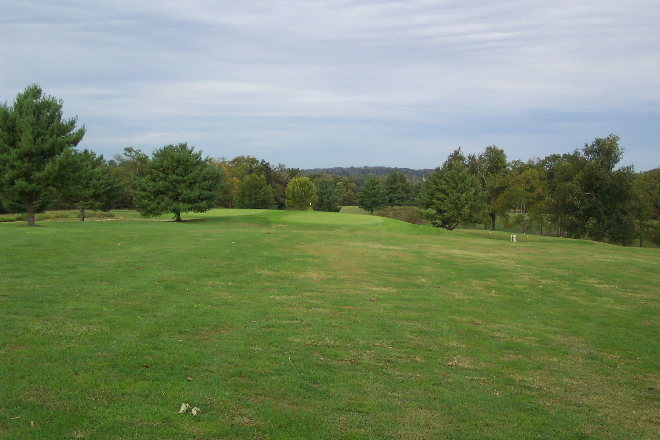
14th from about 150
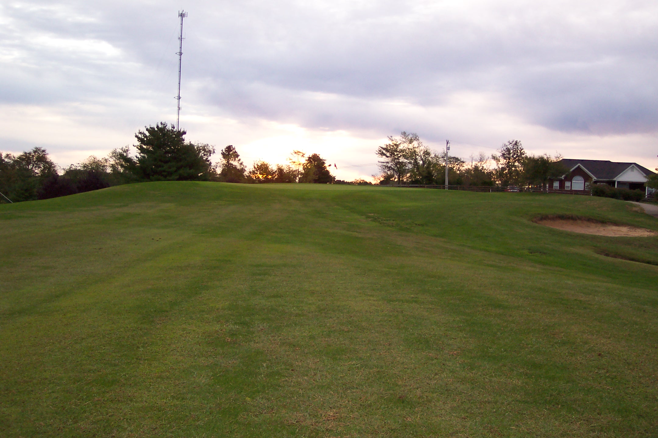
10th Fairway

Winter Blues - Bullitt County, Kentucky

Meadow at Taylorsville

Weekend Winter

selah · [at daybreak 3]

12-19-2012-18-17-5402-device-2000-wm

Winter Escape - Bullitt County, Kentucky
08-31-2014-17-16-06Photomatix-HDR-device-2000-wm
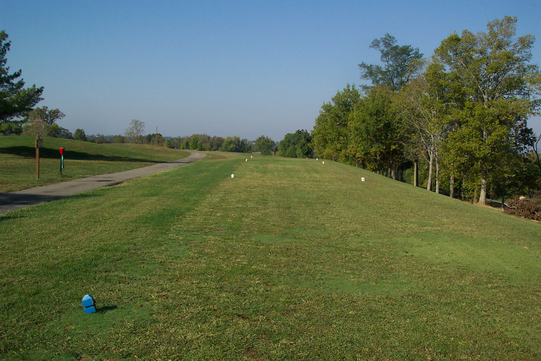
8th Tee

Can't catch brandy
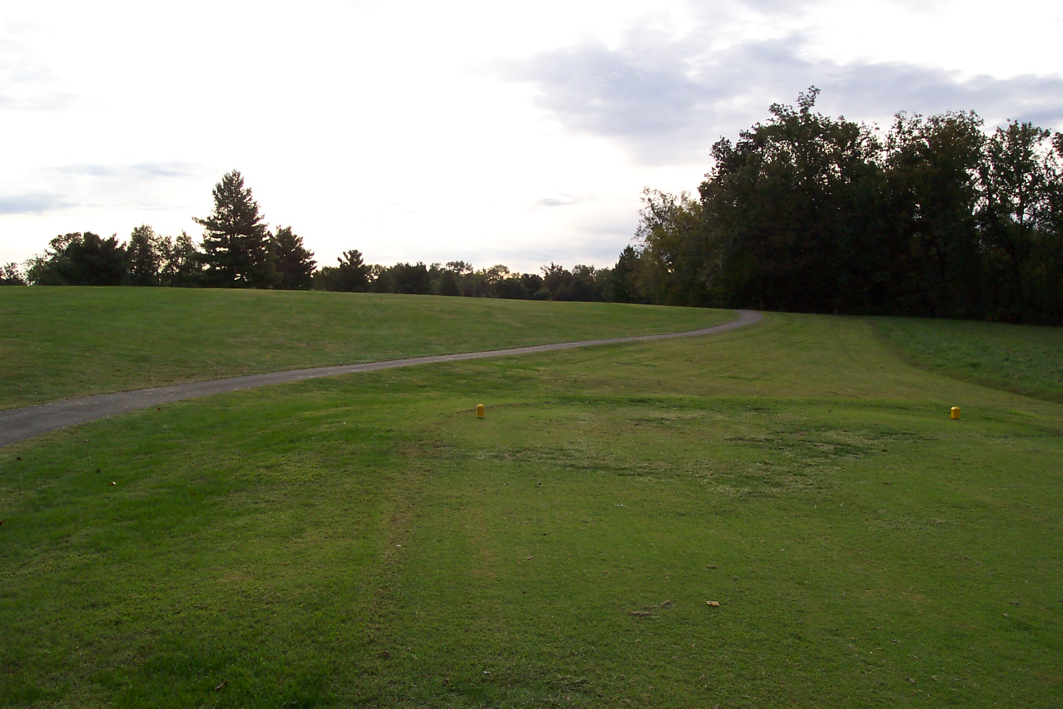
17th Tee
First Tee
6th Tee
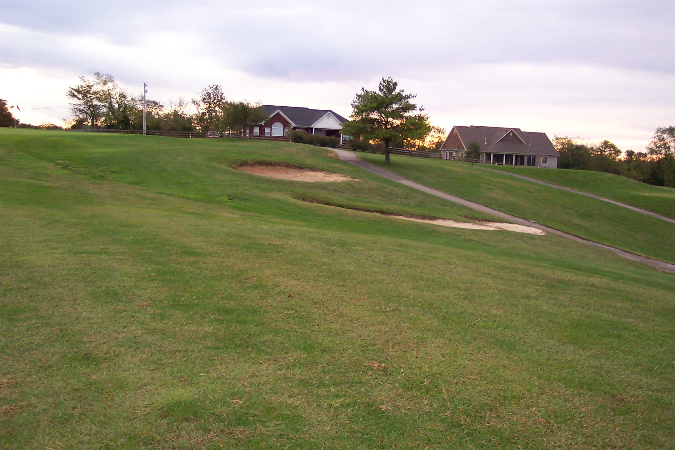
10th - Bunkers Short

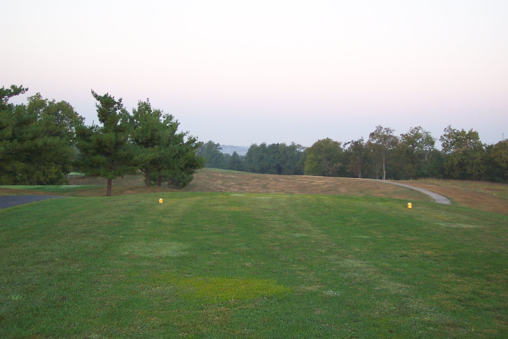
12th Tee
Topographic Map of Lakeside Dr, Taylorsville, KY, USA
Find elevation by address:

Places near Lakeside Dr, Taylorsville, KY, USA:
Hardesty Ridge Road
Taylorsville
Taylorsville
Taylorsville
Taylorsville
Taylorsville
Taylorsville
Taylorsville
60 Carol Dr
108 Houston Ct
Haley Rd, Shelbyville, KY, USA
Spencer County
Spencer County
Spencer County
Spencer County
Spencer County
Spencer County
Spencer County
Spencer County
6 Figgs Store Rd, Shelbyville, KY, USA
Recent Searches:
- Elevation of Congressional Dr, Stevensville, MD, USA
- Elevation of Bellview Rd, McLean, VA, USA
- Elevation of Stage Island Rd, Chatham, MA, USA
- Elevation of Shibuya Scramble Crossing, 21 Udagawacho, Shibuya City, Tokyo -, Japan
- Elevation of Jadagoniai, Kaunas District Municipality, Lithuania
- Elevation of Pagonija rock, Kranto 7-oji g. 8"N, Kaunas, Lithuania
- Elevation of Co Rd 87, Jamestown, CO, USA
- Elevation of Tenjo, Cundinamarca, Colombia
- Elevation of Côte-des-Neiges, Montreal, QC H4A 3J6, Canada
- Elevation of Bobcat Dr, Helena, MT, USA