Elevation of Patrick, SC, USA
Location: United States > South Carolina > Chesterfield County >
Longitude: -80.045900
Latitude: 34.5745999
Elevation: 67m / 220feet
Barometric Pressure: 101KPa
Elevation Map:
Satellite Map:
Related Photos:

Cheraw Fish House

Early Morning Panorama at Cheraw Fish Hatchery

Cheraw striped bass harvest '07

View towards SC 20

Fragile Dapperling Mushroom Cap
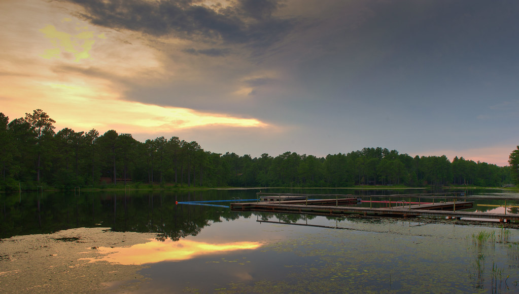
Lake Westwood

Lake Westwood
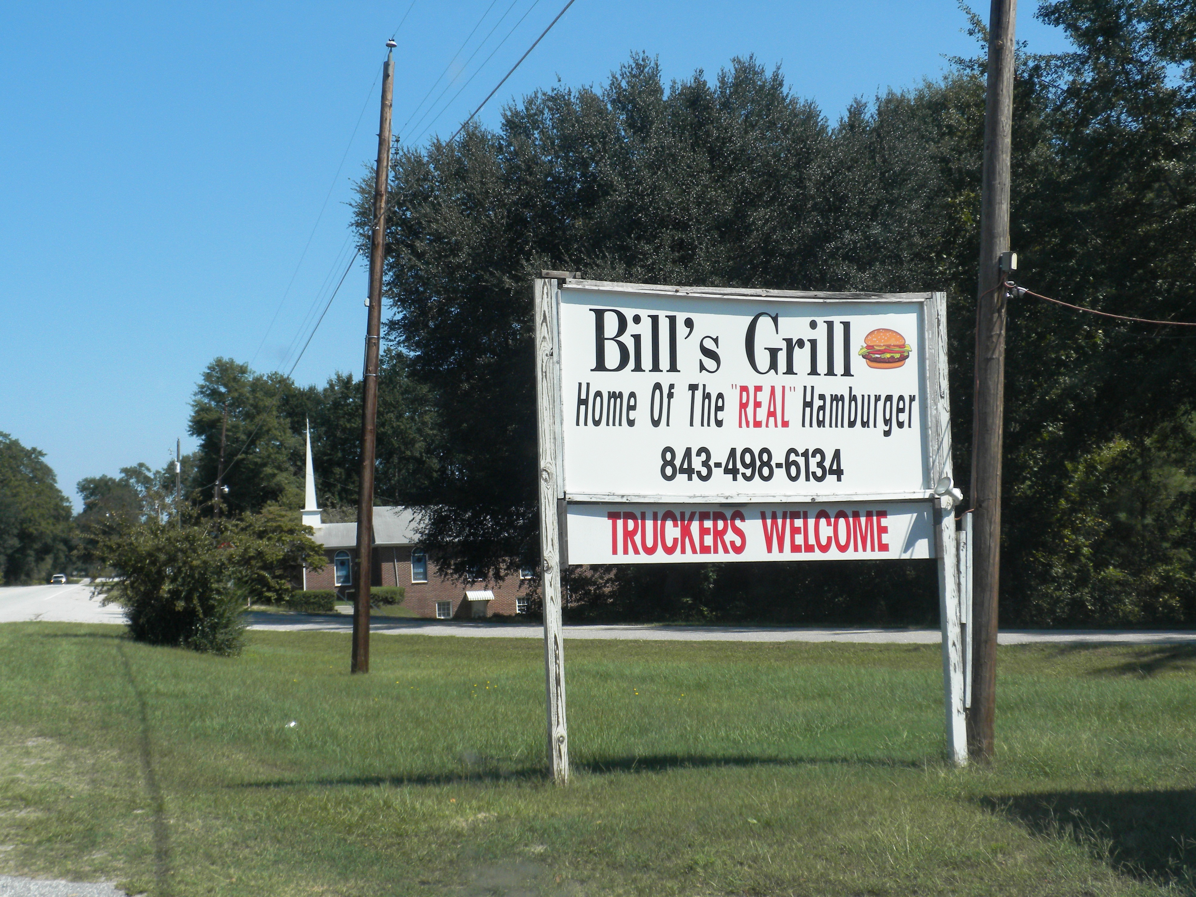
Bill's Grill

Sunset on Sugarloaf Mountain

Still Life

Stay Off

Tomás, Tom, Thomas, Thomi, and Tommy

I broke my wrist today

Camp Coker

Juniper Late Afternoon

Lake Juniper, Cheraw State Park

Bill Conger approaches 4 corners

Campbell Lake Sand Hills State Forest

Campbell Lake Sand Hills State Forest

Campbell Lake Sand Hills State Forest

Calico Pennant

Campbell Lake

Ornate Pennant
Topographic Map of Patrick, SC, USA
Find elevation by address:

Places in Patrick, SC, USA:
Places near Patrick, SC, USA:
U.s. 1
Cane Mill Crossing
631 Cane Mill Crossing Rd
562 State Rd S-13-573
4156 Sc-102
4156 Sc-102
US-1, Hartsville, SC, USA
3008 Ousleydale Rd
3025 Ousleydale Rd
Middendorf Road
Patrick Hwy, Hartsville, SC, USA
Chesterfield County
38 Daisy St, Cheraw, SC, USA
Main St, Chesterfield, SC, USA
Chesterfield
113 Mary Ln
104 Will G St
104 Will G St
104 Will G St
North Hartsville
Recent Searches:
- Elevation of Groblershoop, South Africa
- Elevation of Power Generation Enterprises | Industrial Diesel Generators, Oak Ave, Canyon Country, CA, USA
- Elevation of Chesaw Rd, Oroville, WA, USA
- Elevation of N, Mt Pleasant, UT, USA
- Elevation of 6 Rue Jules Ferry, Beausoleil, France
- Elevation of Sattva Horizon, 4JC6+G9P, Vinayak Nagar, Kattigenahalli, Bengaluru, Karnataka, India
- Elevation of Great Brook Sports, Gold Star Hwy, Groton, CT, USA
- Elevation of 10 Mountain Laurels Dr, Nashua, NH, USA
- Elevation of 16 Gilboa Ln, Nashua, NH, USA
- Elevation of Laurel Rd, Townsend, TN, USA