Elevation of Parshall, ND, USA
Location: United States > North Dakota > Mountrail County >
Longitude: -102.13489
Latitude: 47.9533459
Elevation: 590m / 1936feet
Barometric Pressure: 94KPa
Elevation Map:
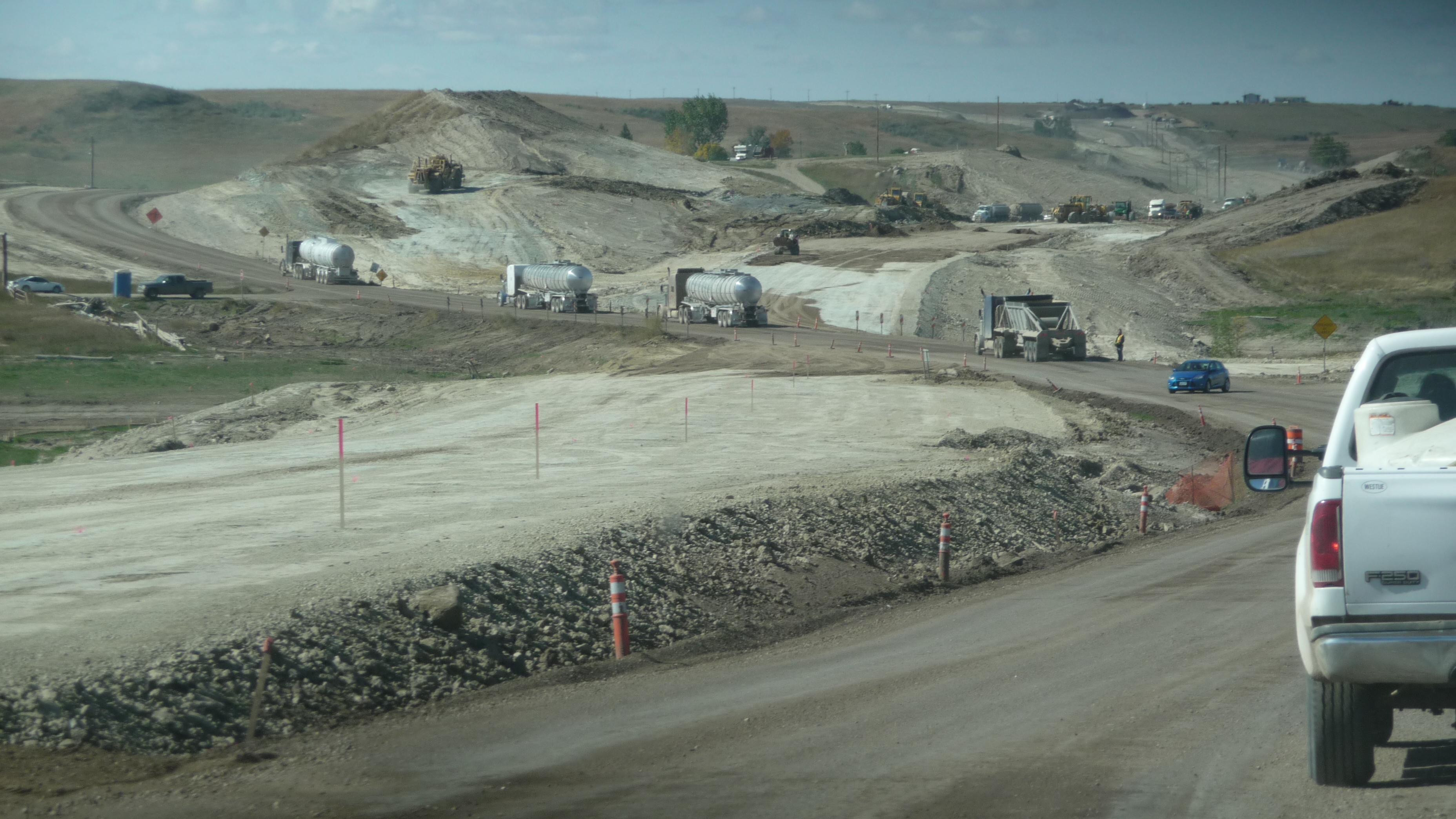
Satellite Map:
Related Photos:
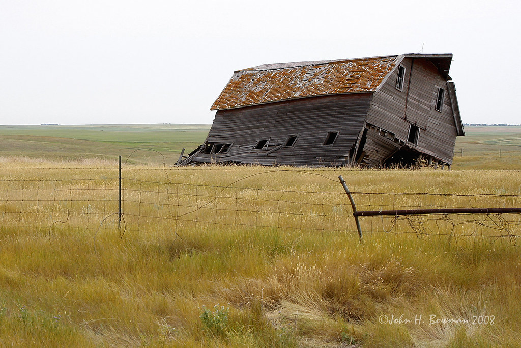
Listing barn - North Dakota
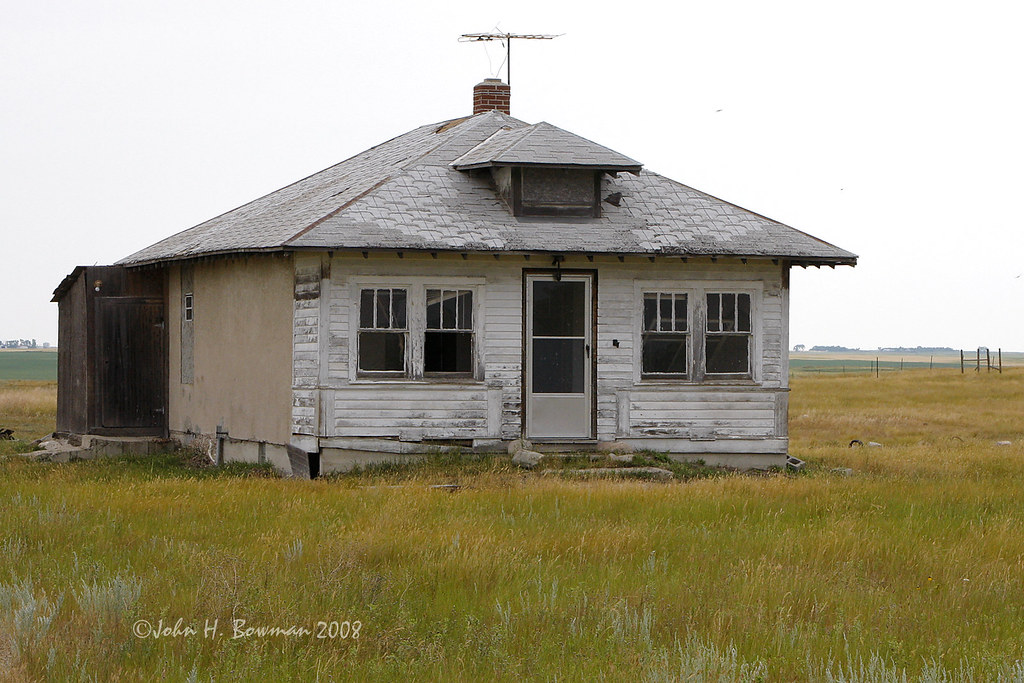
Abandoned house - North Dakota
Better than expected...
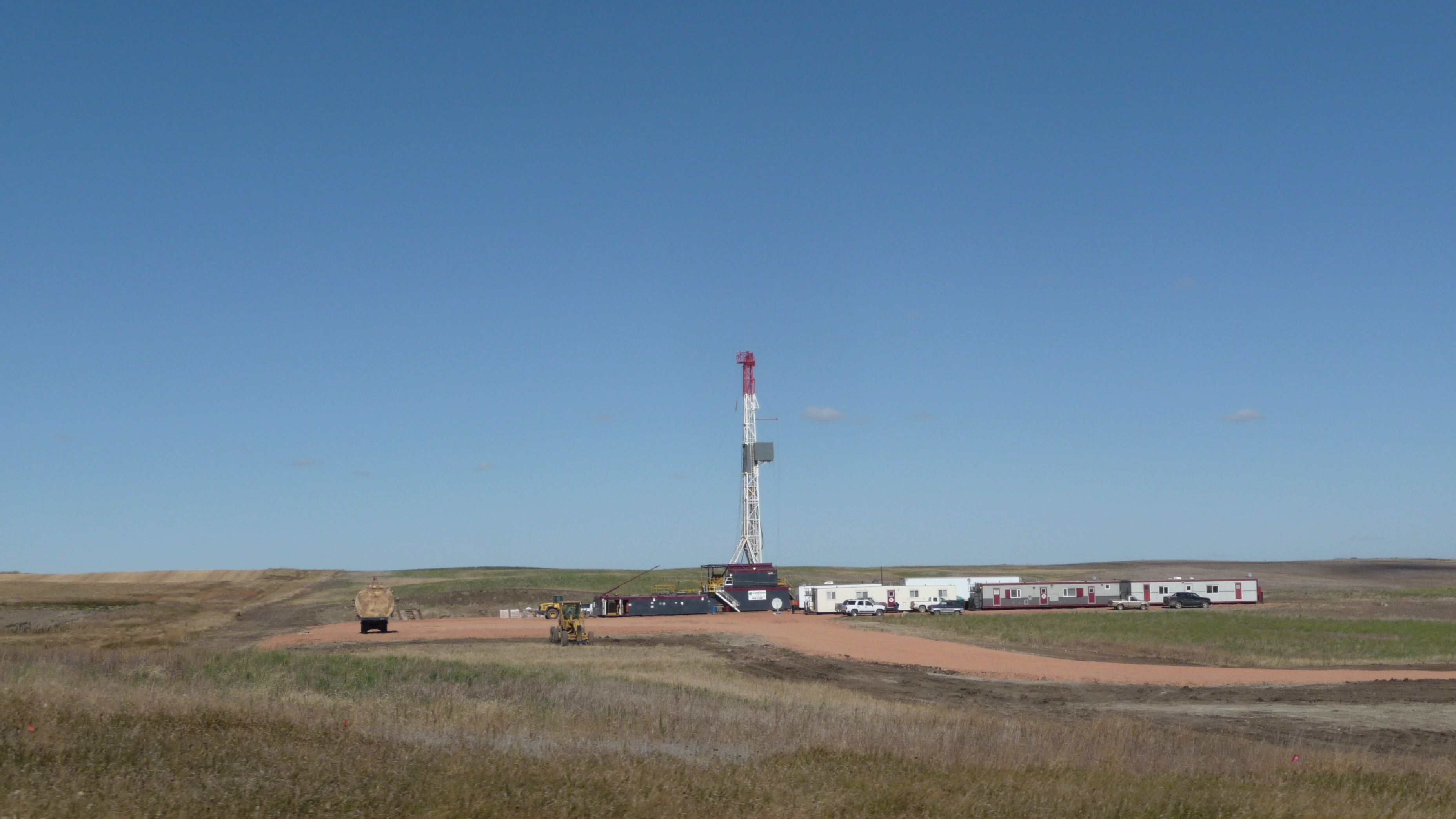
Reservation Tel - Oil well
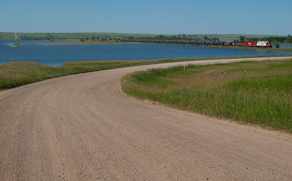
Reservation Tel - roads

Keep Out
Topographic Map of Parshall, ND, USA
Find elevation by address:

Places near Parshall, ND, USA:
Wayzetta
10631 44th St Nw
401 Hill St
Osborn
Mountrail County
New Town
Idaho
Stanley
Four Bears Village
Pullen Farms
Ward County
Kenmare
Burlington
Old Settlers Park
318 1st Ave
Harrison
12117 16th St Sw
Minot, ND, USA
2626 W Burdick Expy
107 20th St Nw
Recent Searches:
- Elevation of Côte-des-Neiges, Montreal, QC H4A 3J6, Canada
- Elevation of Bobcat Dr, Helena, MT, USA
- Elevation of Zu den Ihlowbergen, Althüttendorf, Germany
- Elevation of Badaber, Peshawar, Khyber Pakhtunkhwa, Pakistan
- Elevation of SE Heron Loop, Lincoln City, OR, USA
- Elevation of Slanický ostrov, 01 Námestovo, Slovakia
- Elevation of Spaceport America, Co Rd A, Truth or Consequences, NM, USA
- Elevation of Warwick, RI, USA
- Elevation of Fern Rd, Whitmore, CA, USA
- Elevation of 62 Abbey St, Marshfield, MA, USA