Elevation of 44th St NW, New Town, ND, USA
Location: United States > North Dakota > Mountrail County > Wayzetta >
Longitude: -102.28882
Latitude: 48.0520215
Elevation: 663m / 2175feet
Barometric Pressure: 94KPa
Elevation Map:
Satellite Map:
Related Photos:
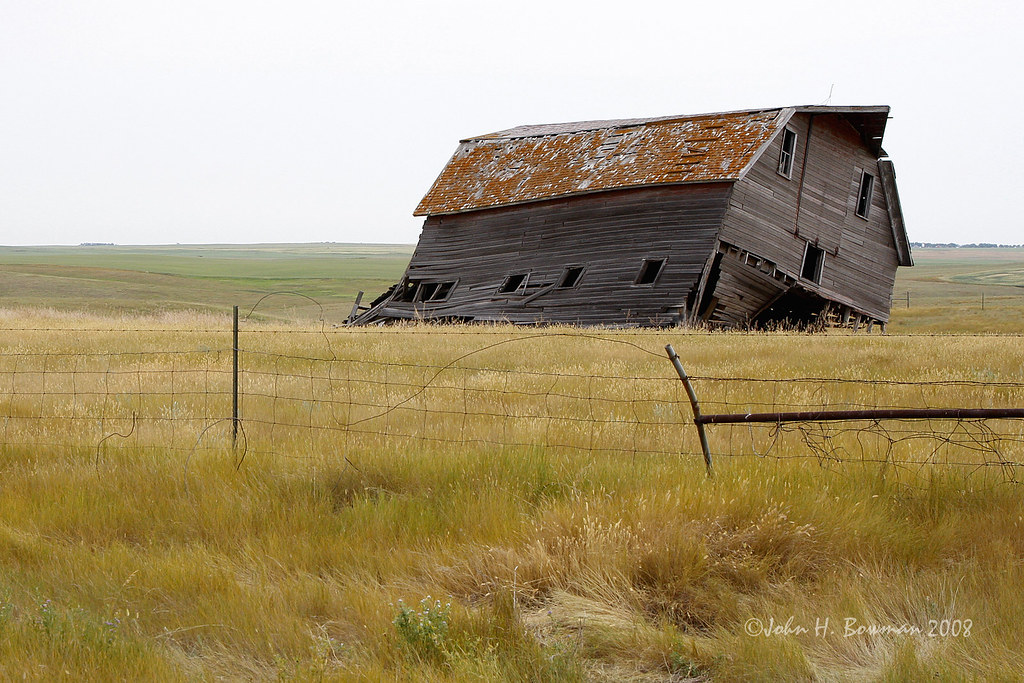
Listing barn - North Dakota
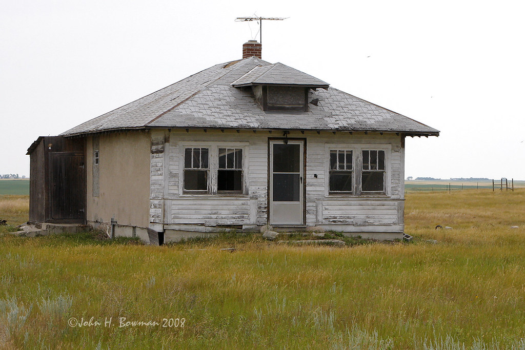
Abandoned house - North Dakota
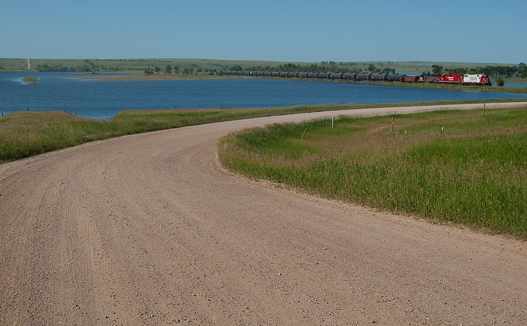
Better than expected...
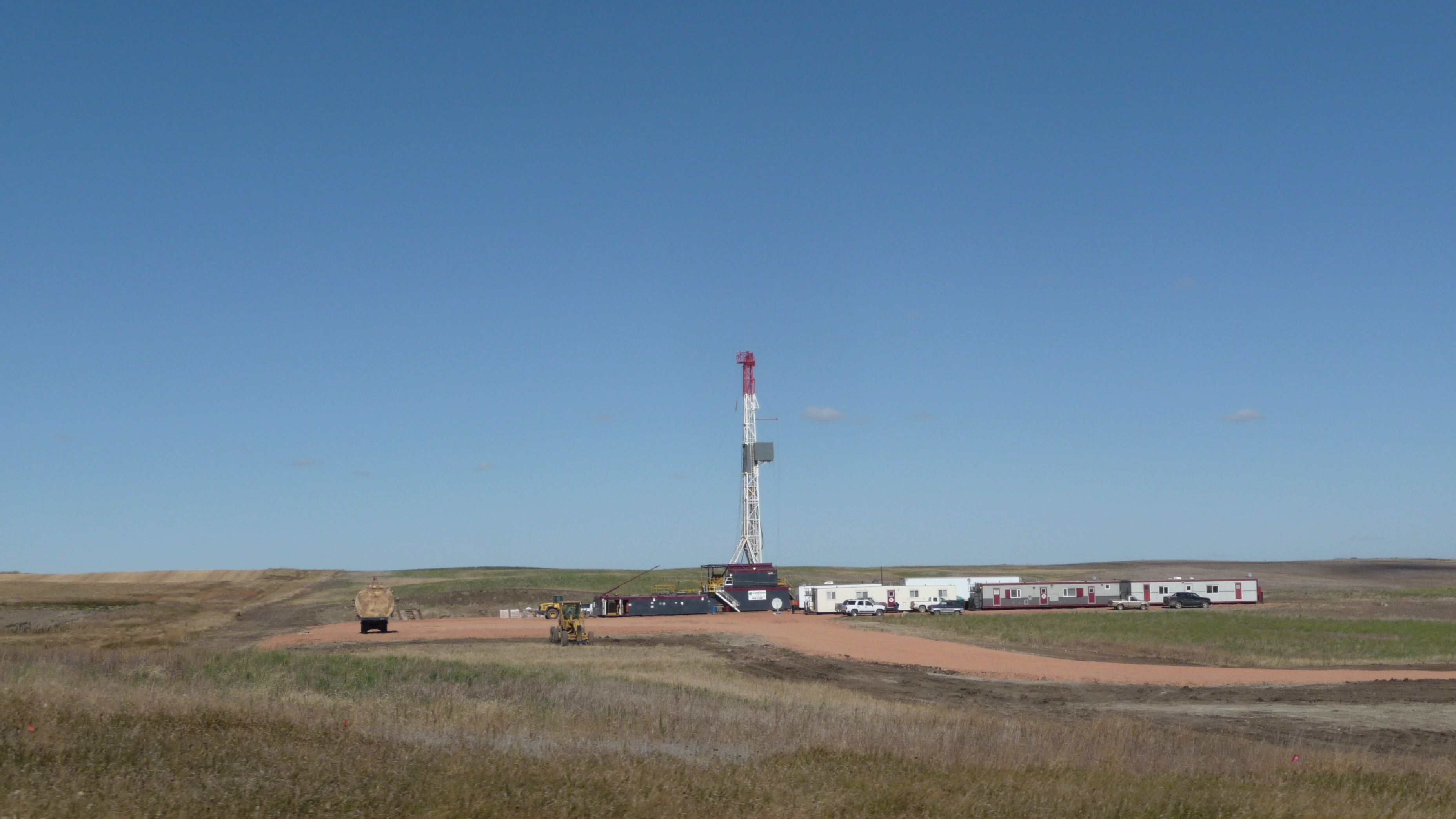
Reservation Tel - Oil well
Reservation Tel - roads
Topographic Map of 44th St NW, New Town, ND, USA
Find elevation by address:

Places near 44th St NW, New Town, ND, USA:
Wayzetta
Mountrail County
Osborn
Parshall
New Town
Idaho
Stanley
Four Bears Village
401 Hill St
Pullen Farms
Kenmare
Ward County
Burke County
Burlington
Old Settlers Park
318 1st Ave
Harrison
12117 16th St Sw
2626 W Burdick Expy
Minot, ND, USA
Recent Searches:
- Elevation of Luther Road, Luther Rd, Auburn, CA, USA
- Elevation of Unnamed Road, Respublika Severnaya Osetiya — Alaniya, Russia
- Elevation of Verkhny Fiagdon, North Ossetia–Alania Republic, Russia
- Elevation of F. Viola Hiway, San Rafael, Bulacan, Philippines
- Elevation of Herbage Dr, Gulfport, MS, USA
- Elevation of Lilac Cir, Haldimand, ON N3W 2G9, Canada
- Elevation of Harrod Branch Road, Harrod Branch Rd, Kentucky, USA
- Elevation of Wyndham Grand Barbados Sam Lords Castle All Inclusive Resort, End of Belair Road, Long Bay, Bridgetown Barbados
- Elevation of Iga Trl, Maggie Valley, NC, USA
- Elevation of N Co Rd 31D, Loveland, CO, USA