Elevation of Wayzetta, ND, USA
Location: United States > North Dakota > Mountrail County >
Longitude: -102.24187
Latitude: 48.0849676
Elevation: 639m / 2096feet
Barometric Pressure: 94KPa
Elevation Map:
Satellite Map:
Related Photos:
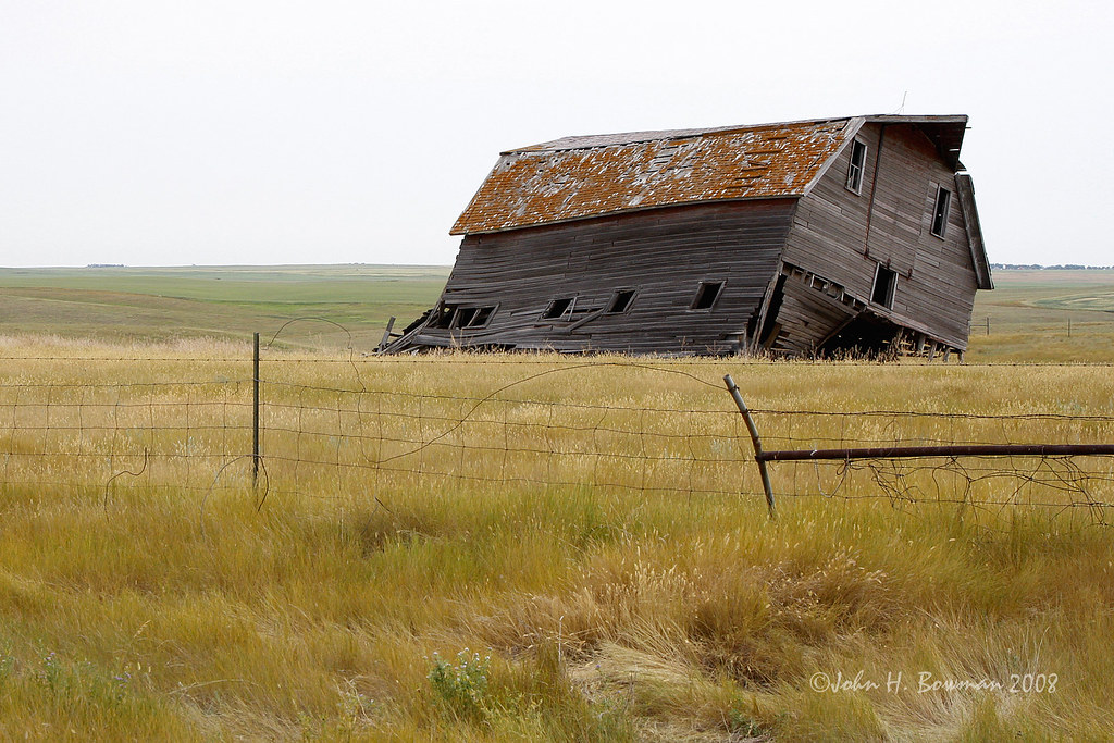
Listing barn - North Dakota
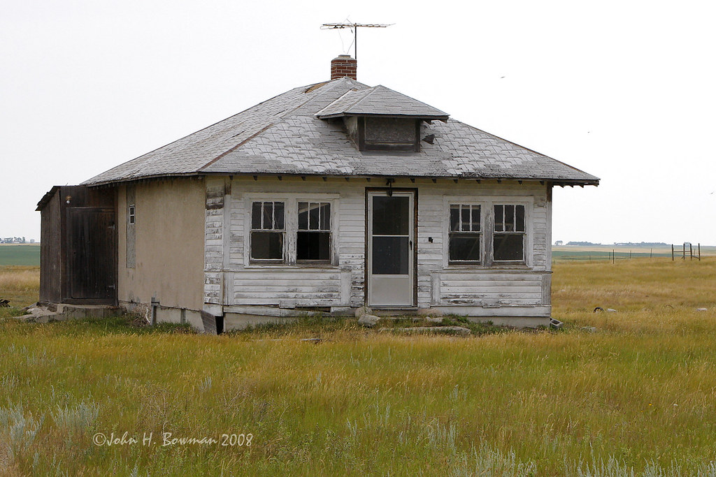
Abandoned house - North Dakota
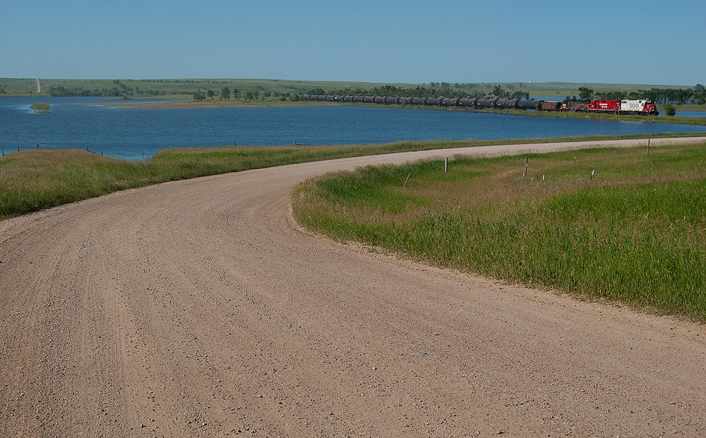
Better than expected...
Topographic Map of Wayzetta, ND, USA
Find elevation by address:

Places near Wayzetta, ND, USA:
10631 44th St Nw
Mountrail County
Parshall
Osborn
Idaho
New Town
Stanley
401 Hill St
Four Bears Village
Pullen Farms
Kenmare
Ward County
Burke County
Burlington
Old Settlers Park
318 1st Ave
Harrison
2626 W Burdick Expy
12117 16th St Sw
Minot, ND, USA
Recent Searches:
- Elevation of Rojo Ct, Atascadero, CA, USA
- Elevation of Flagstaff Drive, Flagstaff Dr, North Carolina, USA
- Elevation of Avery Ln, Lakeland, FL, USA
- Elevation of Woolwine, VA, USA
- Elevation of Lumagwas Diversified Farmers Multi-Purpose Cooperative, Lumagwas, Adtuyon, RV32+MH7, Pangantucan, Bukidnon, Philippines
- Elevation of Homestead Ridge, New Braunfels, TX, USA
- Elevation of Orchard Road, Orchard Rd, Marlborough, NY, USA
- Elevation of 12 Hutchinson Woods Dr, Fletcher, NC, USA
- Elevation of Holloway Ave, San Francisco, CA, USA
- Elevation of Norfolk, NY, USA