Elevation of Park St, Taneyville, MO, USA

Location: United States > Missouri > Taney County > Swan Township > Taneyville >

Longitude: -93.034607

Latitude: 36.7415334

Elevation: 326m / 1070feet

Barometric Pressure: 97KPa

Elevation Map:

elevation map of Park St, Taneyville, MO, USA

Satellite Map:

Satellite map of Park St, Taneyville, MO, USA

Related Photos:

water dam missouri hydroelectric missourihistory
Powersite Dam (MSA)
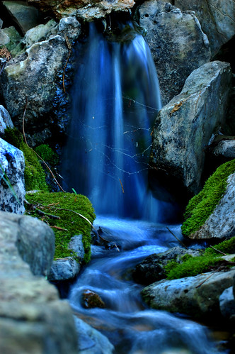
blue green nature water beauty rock waterfall moss nikon spiderweb magical breathtaking perfection naturesfinest slowwater d40 annamorris impressedbeauty superaplus aplusphoto kryger flickrphotoaward annakryger
Blue waterfall
water dam missouri hydroelectric missourihistory
Powersite Dam (MSA)
water dam missouri hydroelectric missourihistory
Powersite Dam (MSA)
backpacking missouri ozarks longcreek 365days fujifinepixf30 herculesgladeswilderness journal2011 2011memorialweekendbackpackingtrip
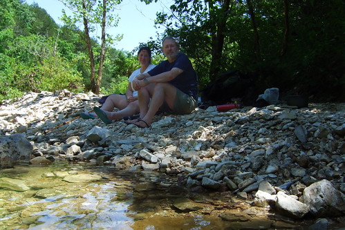
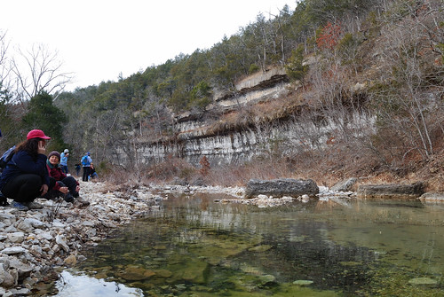
Lunch by the bluffs on Long Creek
noflash johnslens hipstamatic inas1969film
Side view of the cabin.
us unitedstates hiking backpacking missouri gsa ozarks fujifinepixf30 taneycounty bradleyville muthahubbatent herculesgladewilderness ozarkswalkabout peeshollowtrail
Tent through the trees
missouri herculesgladeswilderness missourispringfieldandherculesglades
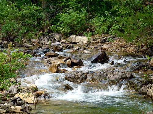
Looking Upstream at Long Creek
us unitedstates hiking backpacking missouri gsa ozarks fujifinepixf30 taneycounty bradleyville herculesgladewilderness ozarkswalkabout peeshollowtrail
Log Cabin Remains
nature water beauty creek forest landscape waterfall scenery rocks stream missouri ozarks naturesgarden magicalplaces
Magical Places (2)
beach landscapes nikon events creative rockaway onone d800 1635
Rockaway Beach
landscapes nikon events creative missouri onone d800 1635
Rockaway Beach Resort
travel taneycounty nx10
Swan Creek
hiking missouri ozarks taneycounty herculesgladeswilderness ozarkswalkabout peeshollowtrail
Hercules Glades Wilderness - Pees Hollow Trail
hiking falls missouri gsa ozarks shutins longcreek springfieldnaturecenter missouridepartmentofconservation nikond40x journal2010 herculesgladewilderness
MDC Hercules Glades Wilderness Hike
hiking missouri ozarks taneycounty herculesgladeswilderness ozarkswalkabout peeshollowtrail
Hercules Glades Wilderness - Pees Hollow Trail
hiking missouri ozarks taneycounty herculesgladeswilderness ozarkswalkabout peeshollowtrail
Hercules Glades Wilderness - Start of the Pees Hollow Trail west side
My four fishies
backpacking missouri ozarks fujifinepixf30 takenbyginger herculesgladeswilderness journal2011 2011memorialweekendbackpackingtrip
Bluff on Long Creek Hercules Glades
backpacking missouri gsa ozarks longcreekfalls fujifinepixf30 herculesgladeswilderness journal2011 2011memorialweekendbackpackingtrip
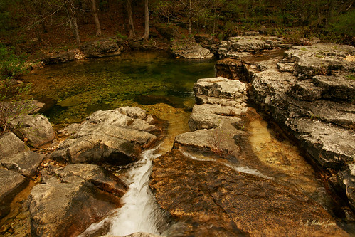
Long Creek falls, Hercules Glades
missouri herculesgladeswilderness missourispringfieldandherculesglades
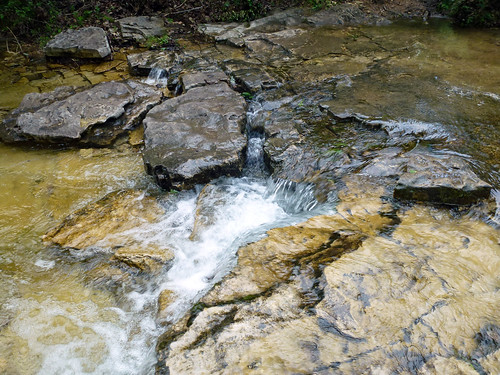
Upstream Falls on Long Creek
water missouri laketaneycomo taneycounty nx20 nx45mm
The White River
ginger hiking missouri gsa ozarks longcreek springfieldnaturecenter missouridepartmentofconservation nikond40x journal2010 herculesgladewilderness
MDC Hercules Glades Wilderness Hike - Bluff on Long Creek
missouri herculesgladeswilderness missourispringfieldandherculesglades
Long Creek Bank
missouri herculesgladeswilderness missourispringfieldandherculesglades
Upstream Fall on Long Creek
missouri herculesgladeswilderness missourispringfieldandherculesglades
Carved Wilderness