Elevation of MO-76, Protem, MO, USA
Location: United States > Missouri > Taney County > Swan Township >
Longitude: -93.046764
Latitude: 36.727827
Elevation: 317m / 1040feet
Barometric Pressure: 98KPa
Elevation Map:
Satellite Map:
Related Photos:

Powersite Dam (MSA)

Blue waterfall

Powersite Dam (MSA)

Powersite Dam (MSA)

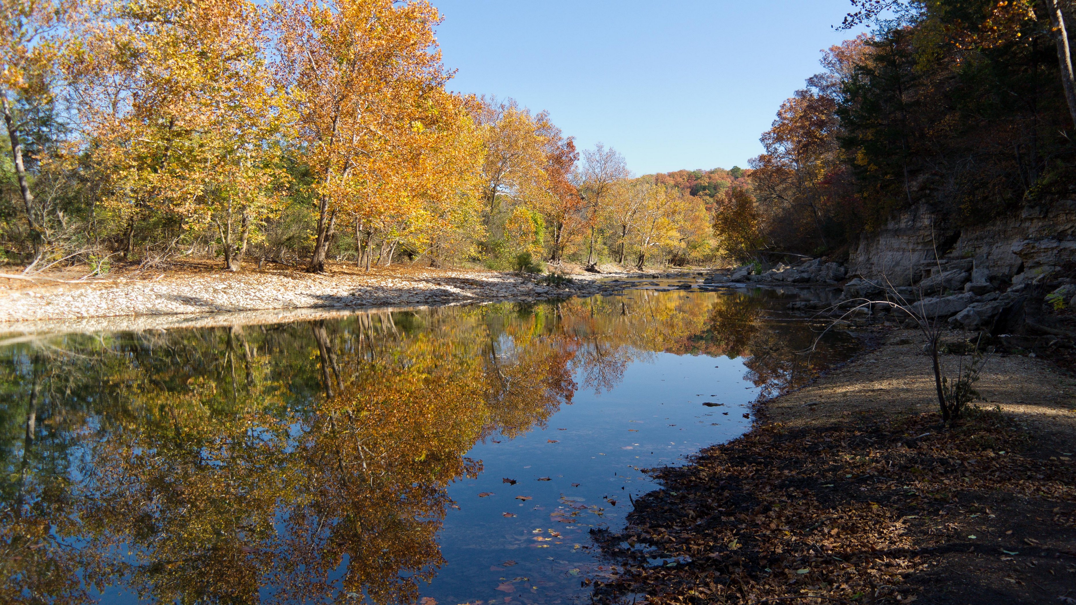
Lunch by the bluffs on Long Creek
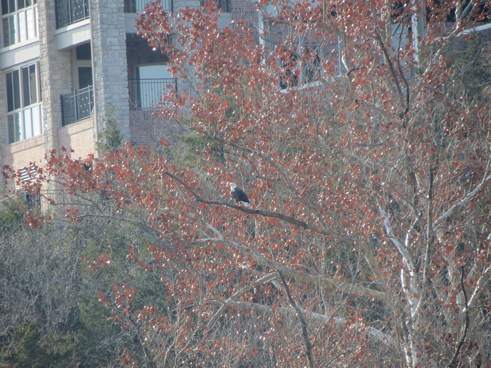
Eagle View
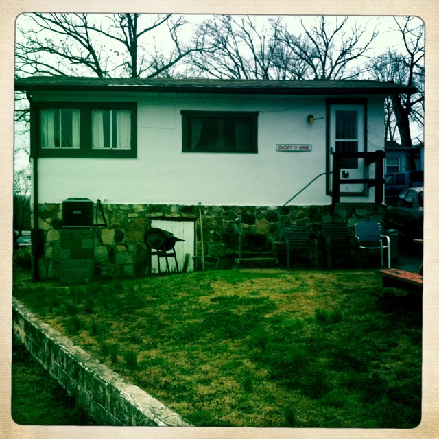
Side view of the cabin.
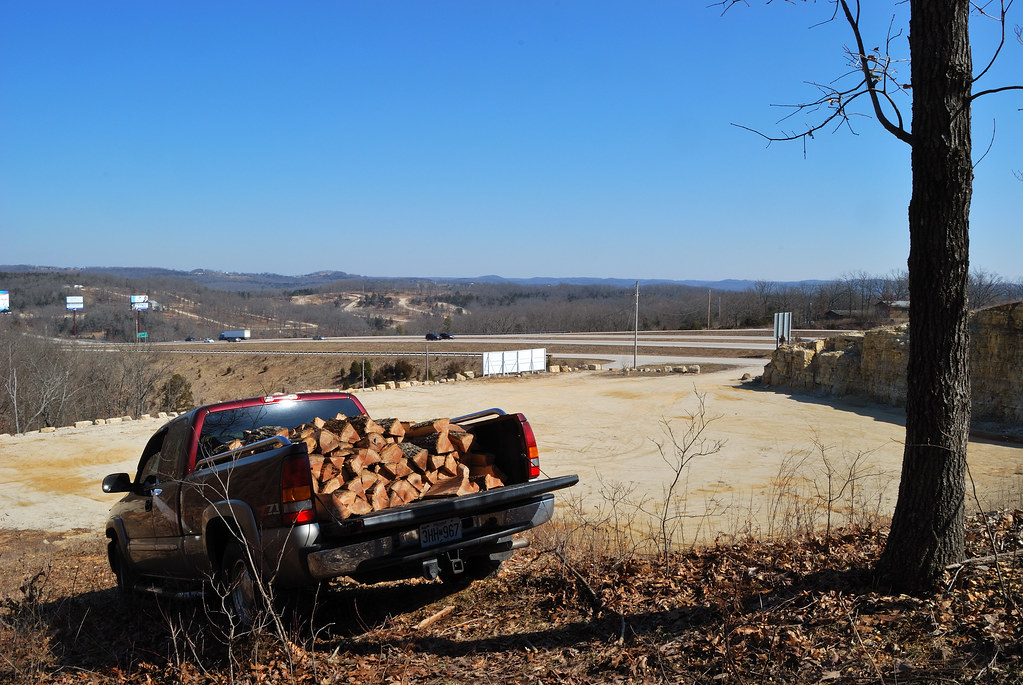
Cutting wood - The view from halfway up
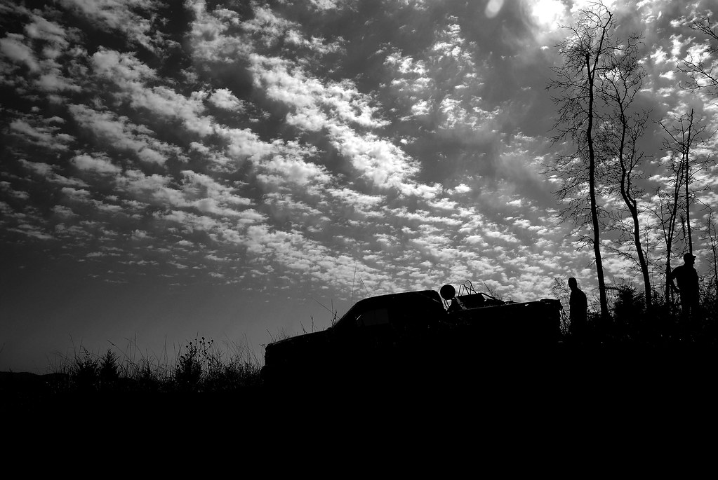
Cutting wood
Highway 65 and some of the Ozark hills
Magical Places (2)

Rockaway Beach Resort
Rockaway Beach
IMG_3112.JPG
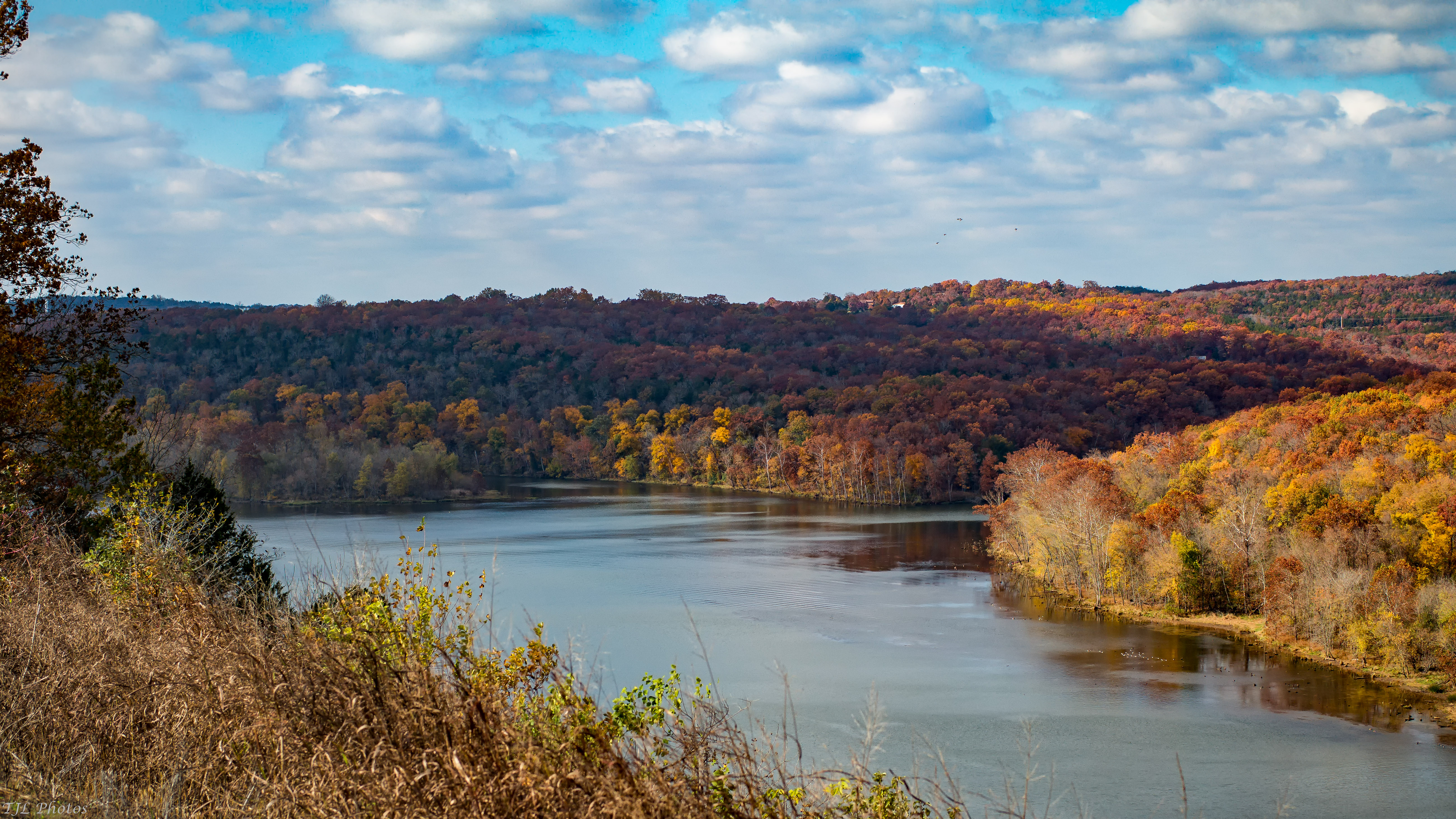
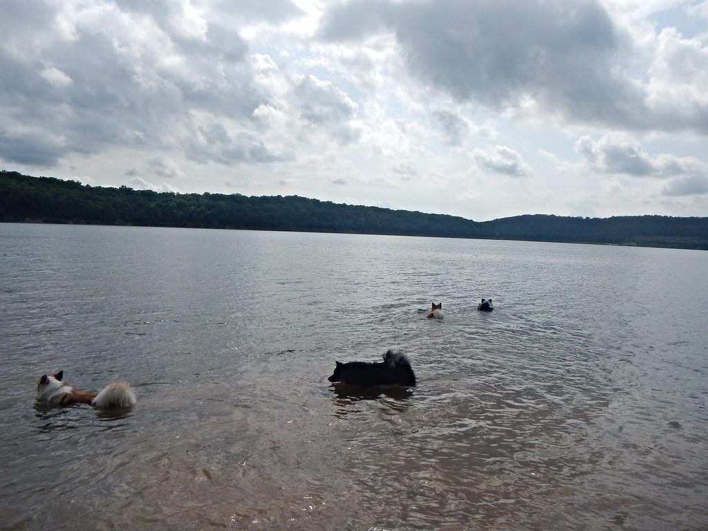
Lake Taneycomo
IMG_3194.JPG

IMG_3195.JPG
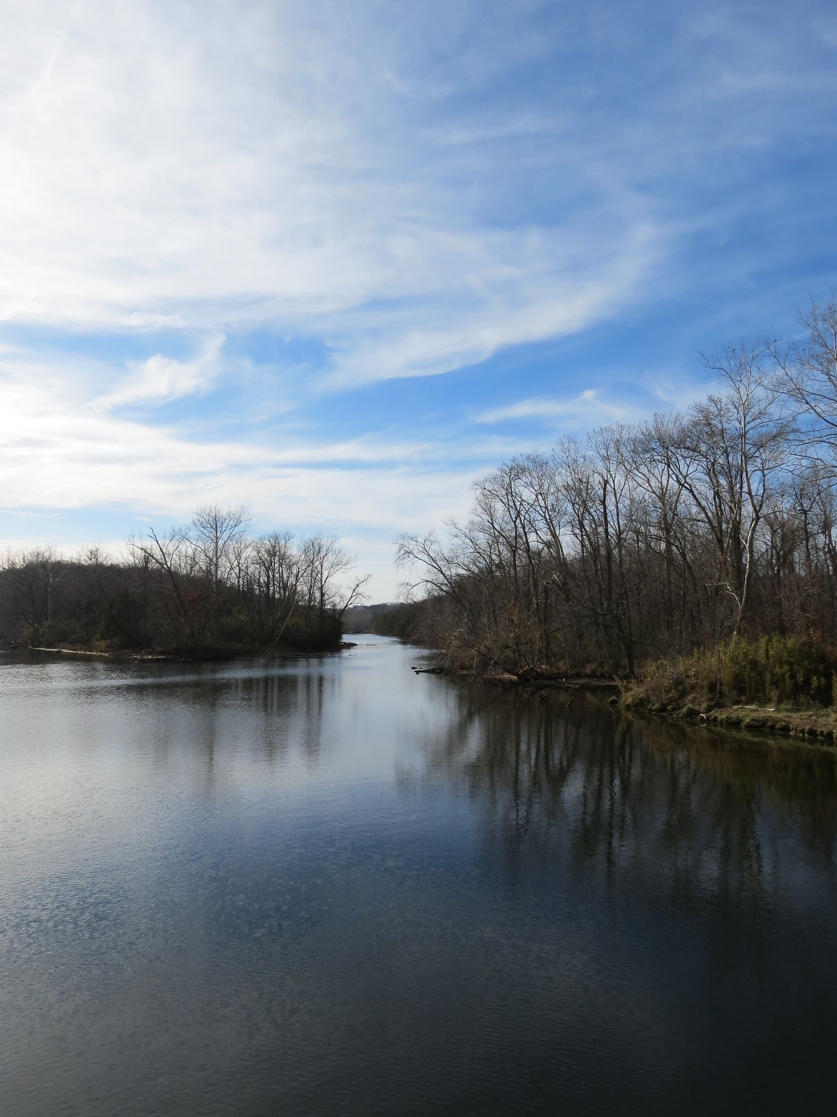
The White River in November
IMG_3188.JPG
Lake Taneycomo
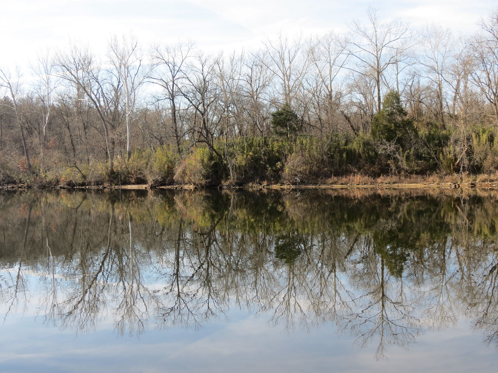
Swan Creek
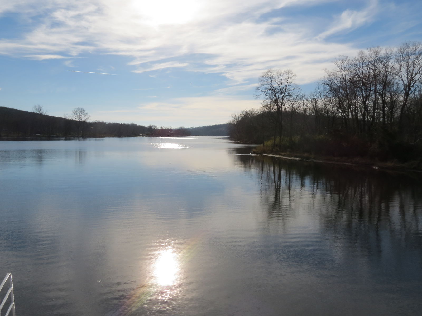
Lake Taneycomo
Hercules Glades Wilderness - Pees Hollow Trail
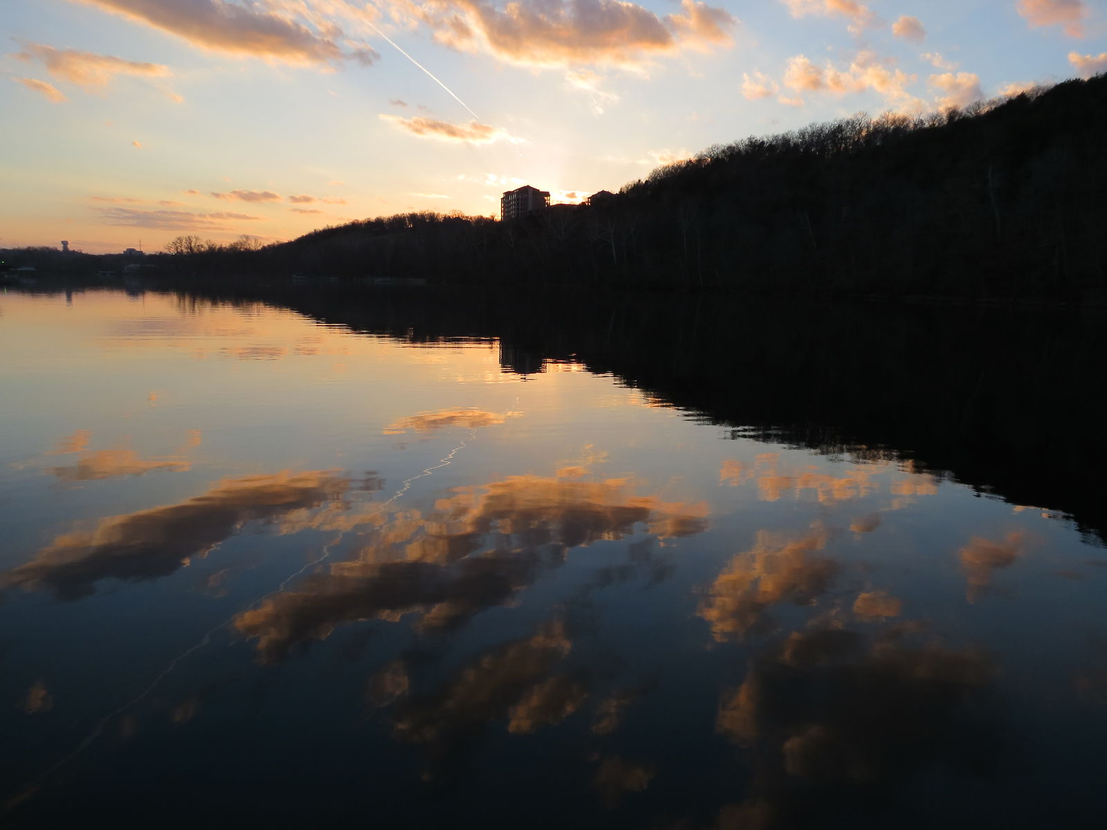
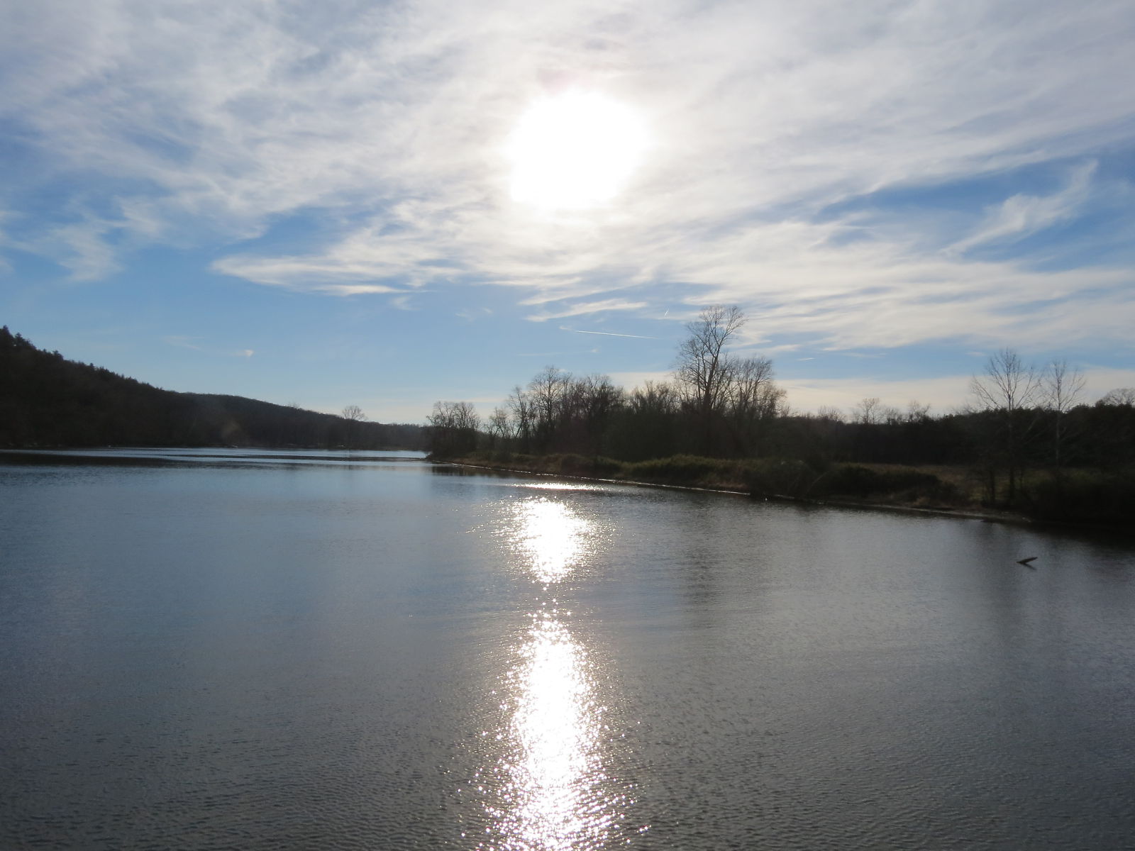
Reflections on Lake Taneycomo
MDC Hercules Glades Wilderness Hike
Hercules Glades Wilderness - Pees Hollow Trail
Hercules Glades Wilderness - Start of the Pees Hollow Trail west side
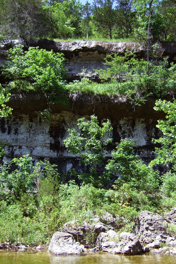
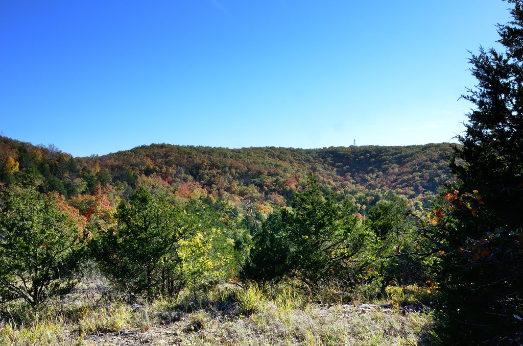
Bluff on Long Creek Hercules Glades
My four fishies
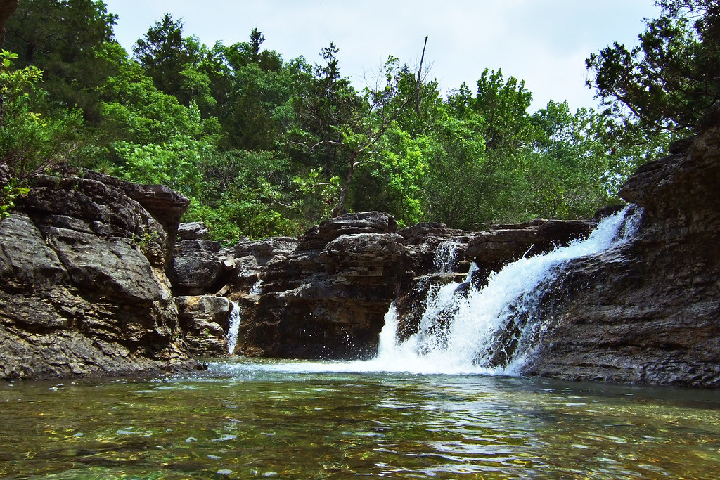
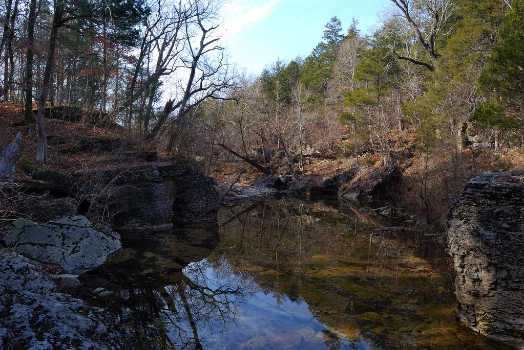
Long Creek falls, Hercules Glades
Topographic Map of MO-76, Protem, MO, USA
Find elevation by address:

Places near MO-76, Protem, MO, USA:
Swan Township
Kissee Mills
136 Bass St
135 Sturgeon St
216 Lake Point Rd
139 Skyline Dr
1010 Rd 0-20
Taney County
1708 Frisco Hills Rd
698 Baker St
Forsyth
Rockhill Dr, Forsyth, MO, USA
762 Brace Hill Rd
Lake Taneycomo
114 Brittan Ct
2229 Mountain Grove Rd
720 Yandell Cove Rd
Merriam Woods
Rockaway Beach
209 Eric Dr
Recent Searches:
- Elevation of Holloway Ave, San Francisco, CA, USA
- Elevation of Norfolk, NY, USA
- Elevation of - San Marcos Pass Rd, Santa Barbara, CA, USA
- Elevation of th Pl SE, Issaquah, WA, USA
- Elevation of 82- D Rd, Captain Cook, HI, USA
- Elevation of Harlow CM20 2PR, UK
- Elevation of Shenyang Agricultural University, Dong Ling Lu, Shen He Qu, Shen Yang Shi, Liao Ning Sheng, China
- Elevation of Alpha Dr, Melbourne, FL, USA
- Elevation of Hiroshima University, 1-chōme-3-2 Kagamiyama, Higashihiroshima, Hiroshima -, Japan
- Elevation of Bernina Dr, Lake Arrowhead, CA, USA