Elevation of Skyline Dr, Forsyth, MO, USA
Location: United States > Missouri > Taney County > Swan Township > Forsyth >
Longitude: -93.096034
Latitude: 36.687538
Elevation: -10000m / -32808feet
Barometric Pressure: 295KPa
Elevation Map:
Satellite Map:
Related Photos:

Fog & Fire
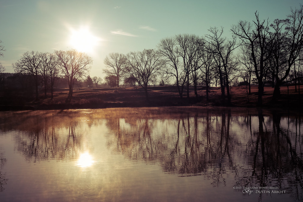
Dawn in Branson

Powersite Dam (MDH)

Powersite Dam (MDH)

Powersite Dam (MDH)

Princess Reflecting Lake Sunset
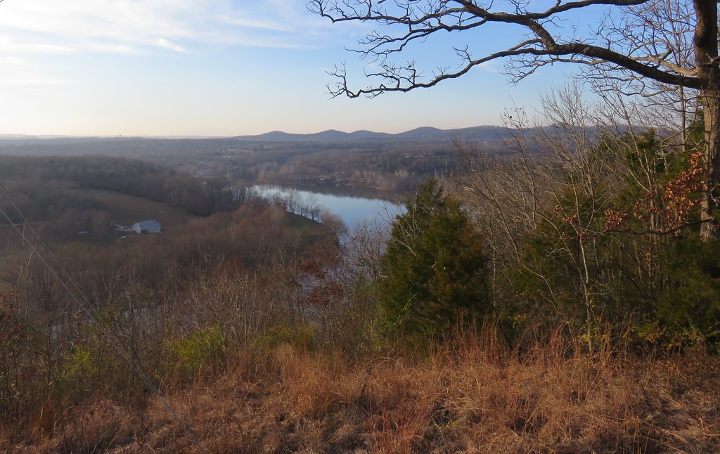
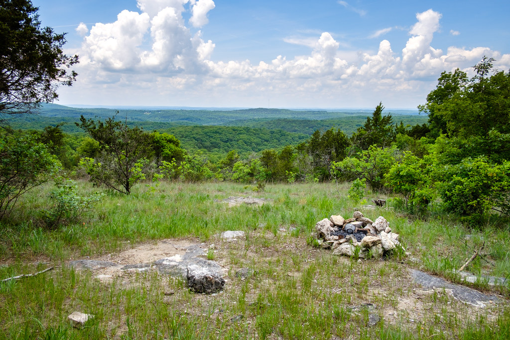
Ozark Mountains Scenic View (Forsyth, Missouri)

View to the South
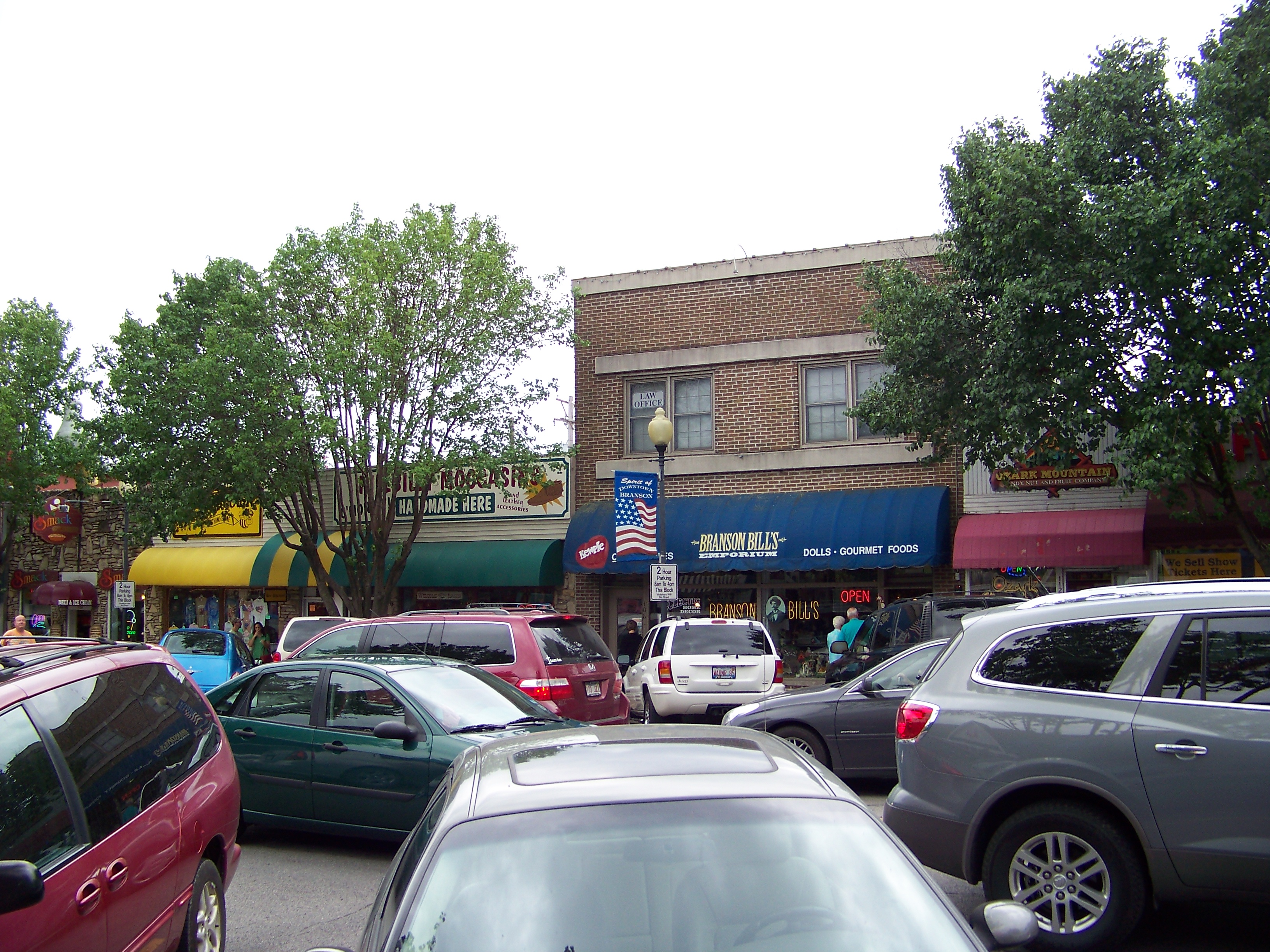
Downtown Branson Missouri

Ozark Mountains Scenic View (Forsyth, Missouri)

Ozark Mountains Scenic View Sign (Forsyth, Missouri)

View from the bluffs overlooking Beaver Creek at Hercules Glades

Highway 65 and some of the Ozark hills

Missouri Morning

Sunset On Roark Creek off Lake Taneycomo
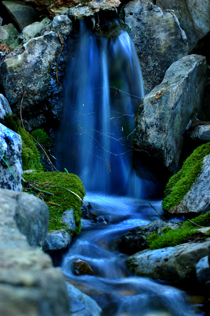
Blue waterfall

View from our hotel room

Hercules Glades Wilderness Backpacking - Day Two

17th Hole Ozarks National

View to the South

Obligatory View From My Bed

Magical Places (2)

Williams Memorial Chapel

Rockaway Beach

Long Creek Bluffs

Rockaway Beach Resort

Lake_Taneycomo_20180630_002-HDR-Edit-Edit

The Tree

Long Creek Looking East From The Falls

The White River in November

Pool Below Long Creek Falls
A Popular Spot
P1010585.jpg

17th Hole, Ozarks National
Lake Taneycomo, Branson, MO

Branson, MO

Branson Miss. #branson #bransonmo #travel #traveler #traveling #travelgram #instagood #instalike #instalove #colorful #landscape #canon #canonpro #canonusa #canon_official #gettyimages #gettycontributor #istock #picoftheday #photo #photooftheday #picstitc

Some Mini Falls on Long Creek
Topographic Map of Skyline Dr, Forsyth, MO, USA
Find elevation by address:

Places near Skyline Dr, Forsyth, MO, USA:
698 Baker St
Forsyth
Rockhill Dr, Forsyth, MO, USA
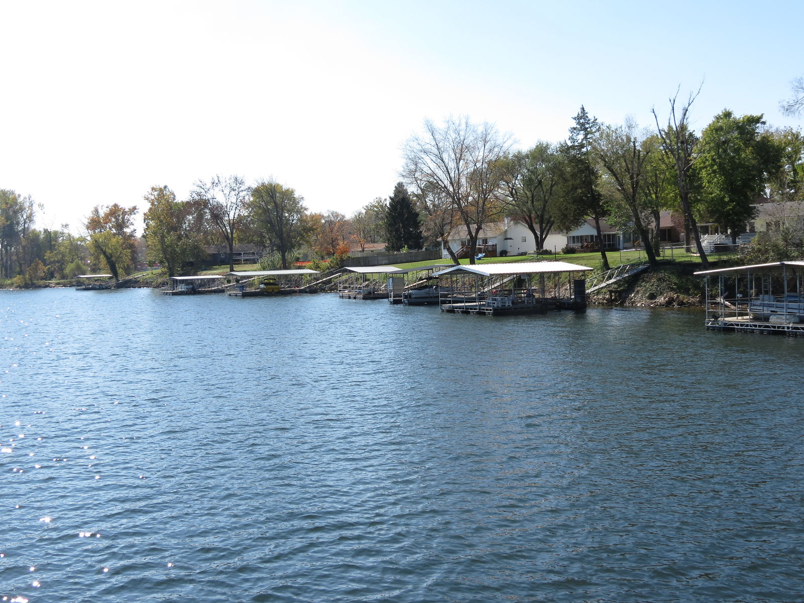
Lake Taneycomo
216 Lake Point Rd
135 Sturgeon St
2229 Mountain Grove Rd
136 Bass St
Swan Township
Kissee Mills
1708 Frisco Hills Rd
114 Brittan Ct
720 Yandell Cove Rd
209 Eric Dr
MO-76, Protem, MO, USA
Rockaway Beach
242 Peaceful Dr
Merriam Woods
1010 Rd 0-20
Taney County
Recent Searches:
- Elevation of Unnamed Road, Respublika Severnaya Osetiya — Alaniya, Russia
- Elevation of Verkhny Fiagdon, North Ossetia–Alania Republic, Russia
- Elevation of F. Viola Hiway, San Rafael, Bulacan, Philippines
- Elevation of Herbage Dr, Gulfport, MS, USA
- Elevation of Lilac Cir, Haldimand, ON N3W 2G9, Canada
- Elevation of Harrod Branch Road, Harrod Branch Rd, Kentucky, USA
- Elevation of Wyndham Grand Barbados Sam Lords Castle All Inclusive Resort, End of Belair Road, Long Bay, Bridgetown Barbados
- Elevation of Iga Trl, Maggie Valley, NC, USA
- Elevation of N Co Rd 31D, Loveland, CO, USA
- Elevation of Lindever Ln, Palmetto, FL, USA