Elevation of Panamint Springs, CA, USA
Location: United States > California > Inyo County >
Longitude: -117.47070
Latitude: 36.340019
Elevation: 592m / 1942feet
Barometric Pressure: 94KPa
Elevation Map:
Satellite Map:
Related Photos:
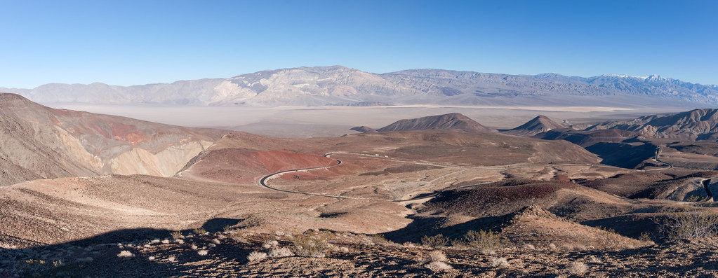
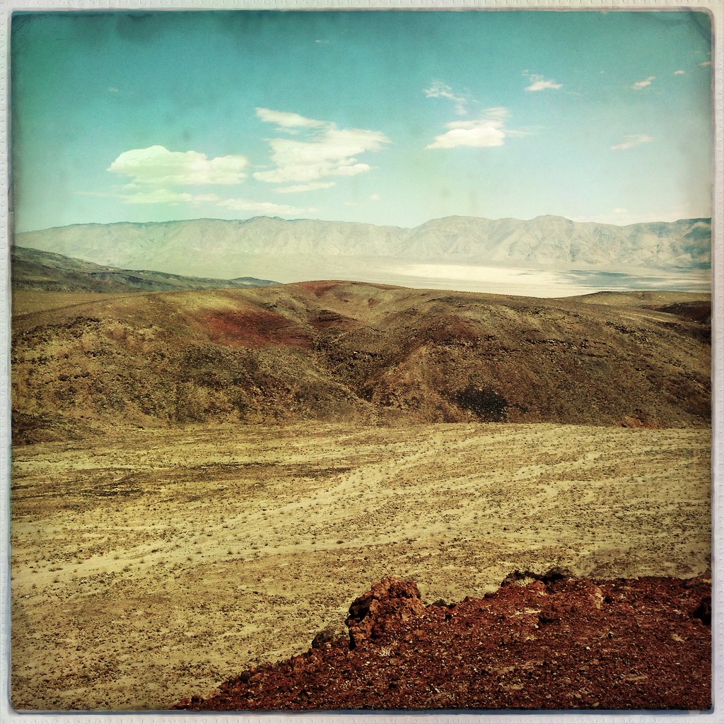
Valley Pass

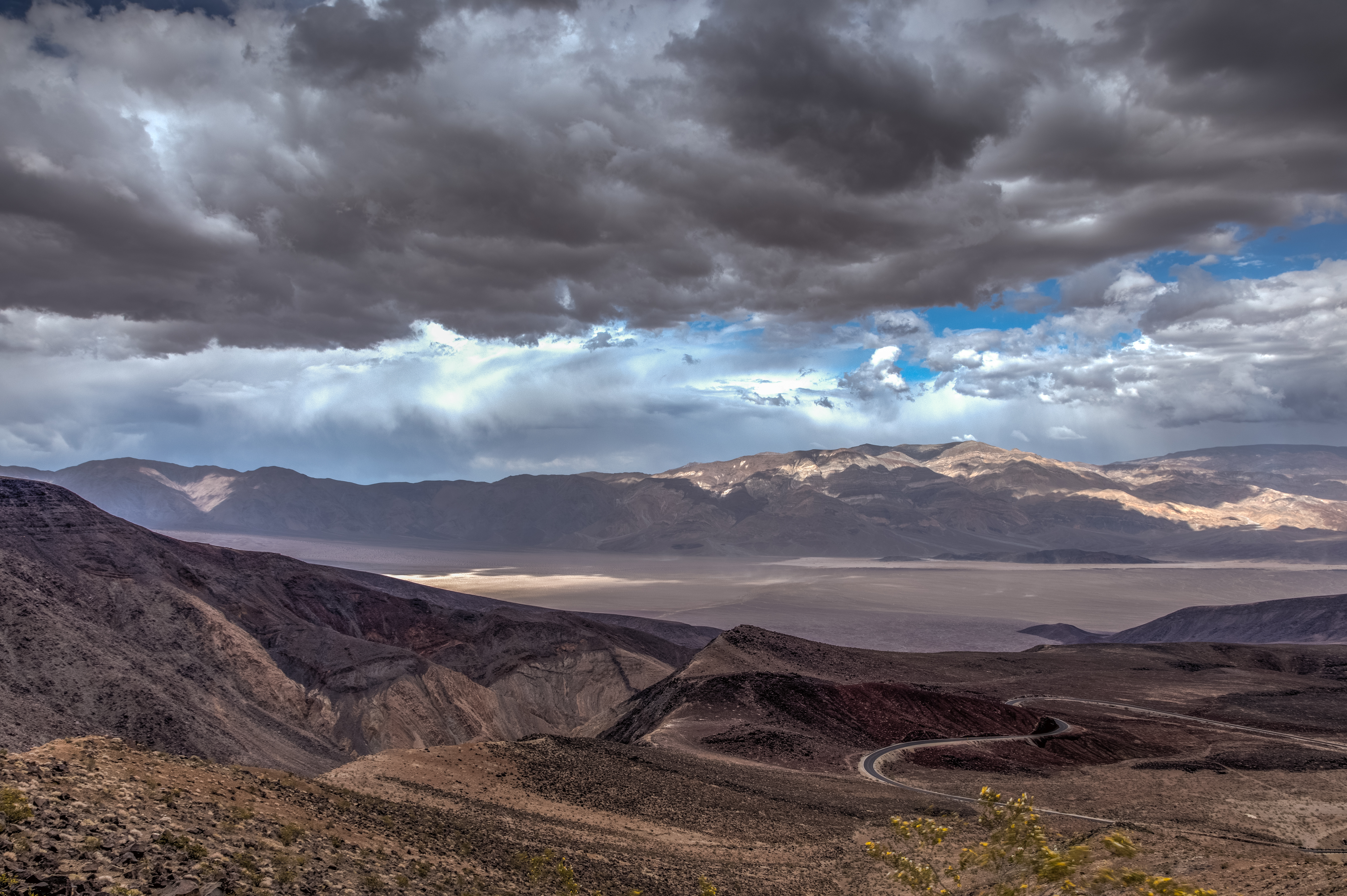
View of Panamint Valley

Death Valley - Part III
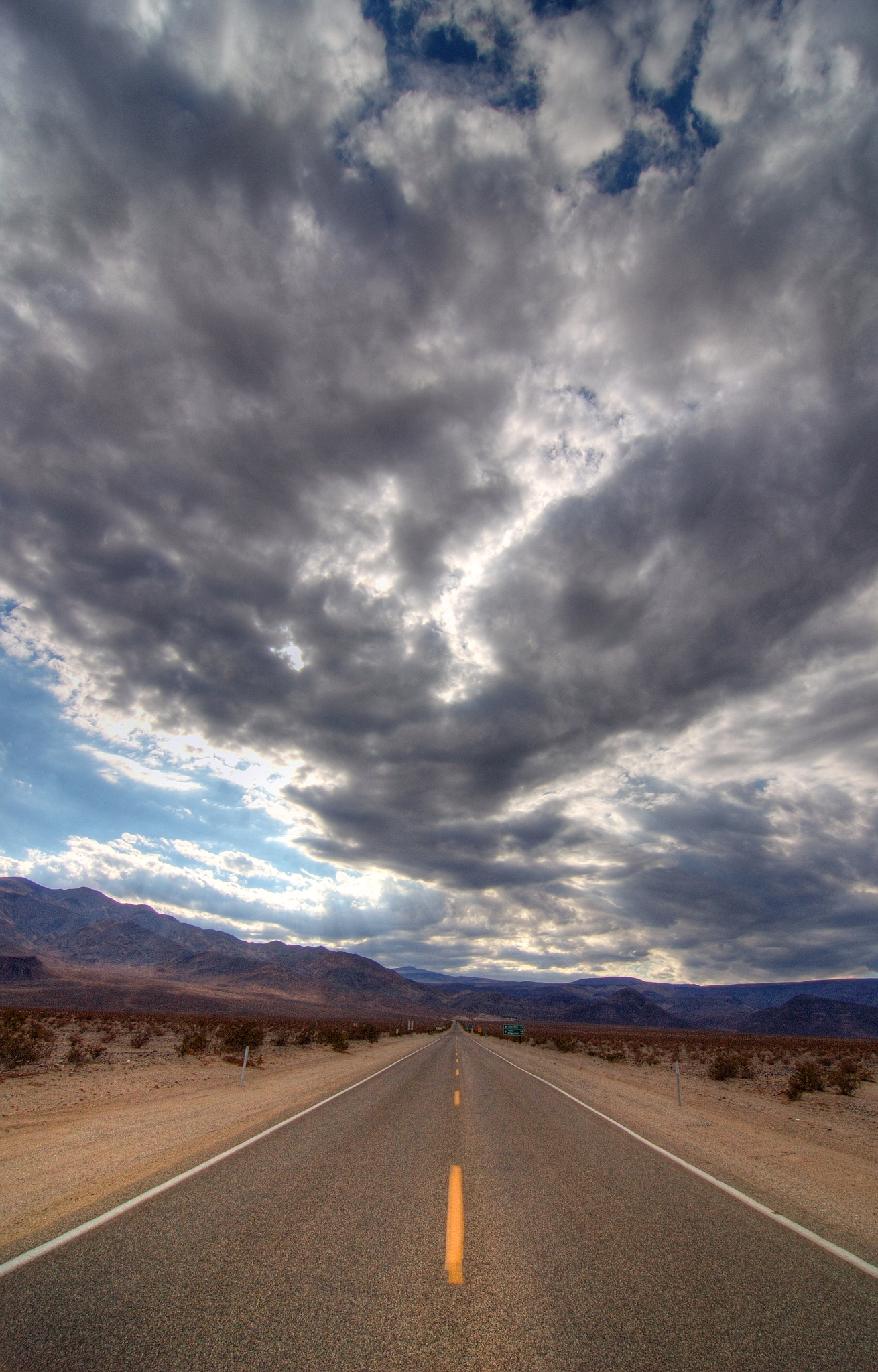
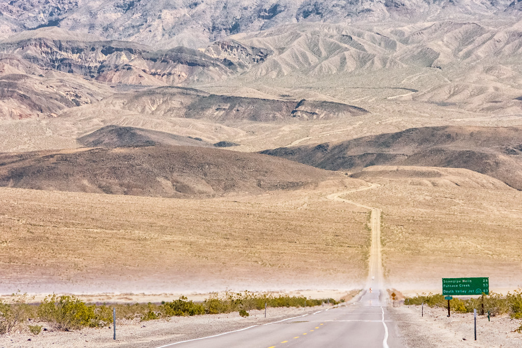
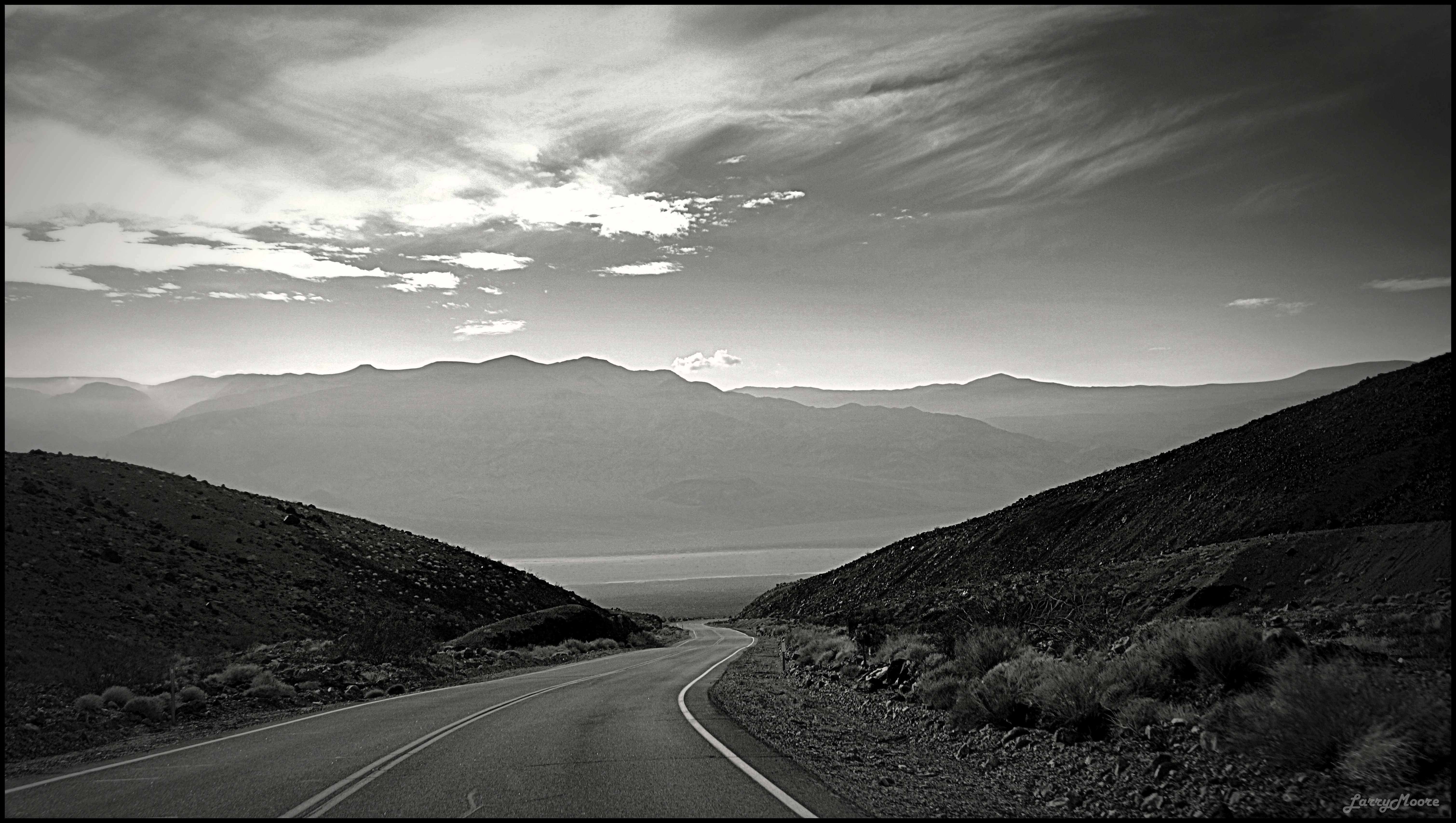
Road and Sky

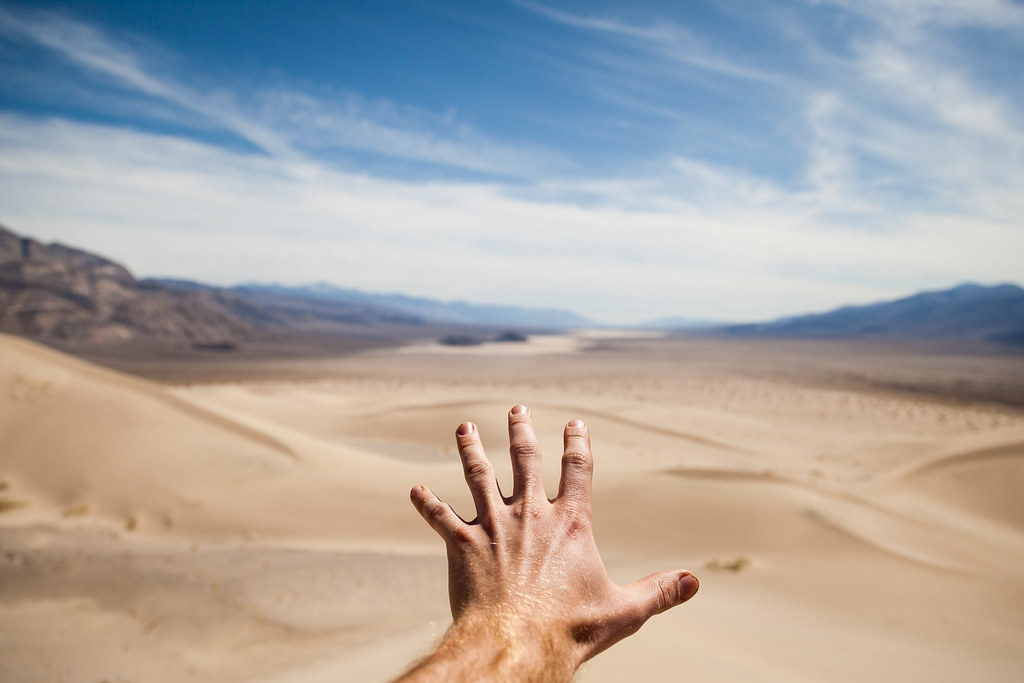
north view from dunes
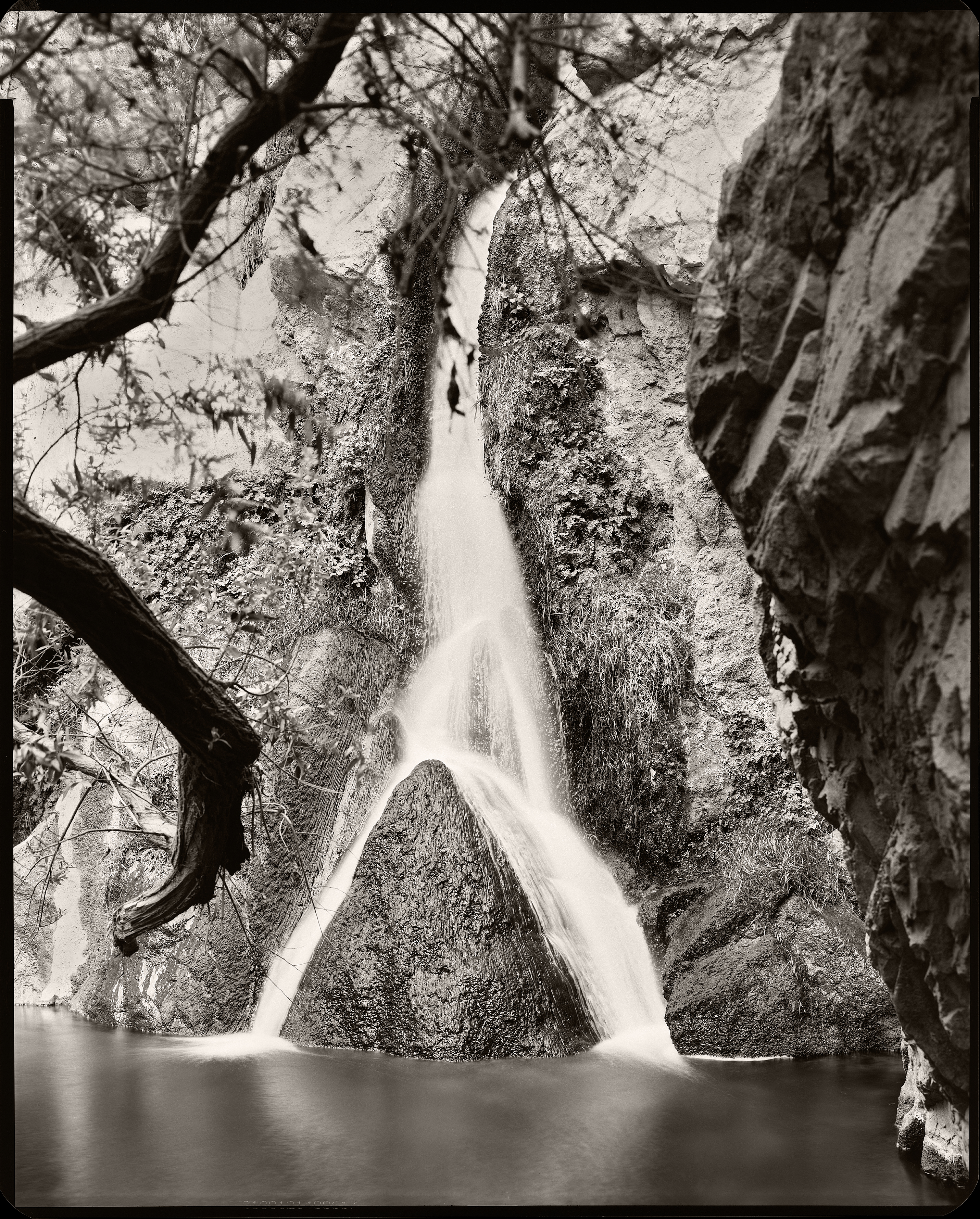
Darwin Falls 1

Darwin Falls 2

Vintage Panamint

Father Crowley Point
Cool Roads of America 2

Father Crowley Point, Death Valley N. P.

Rainbow Canyon, F-18 - Panamint Range
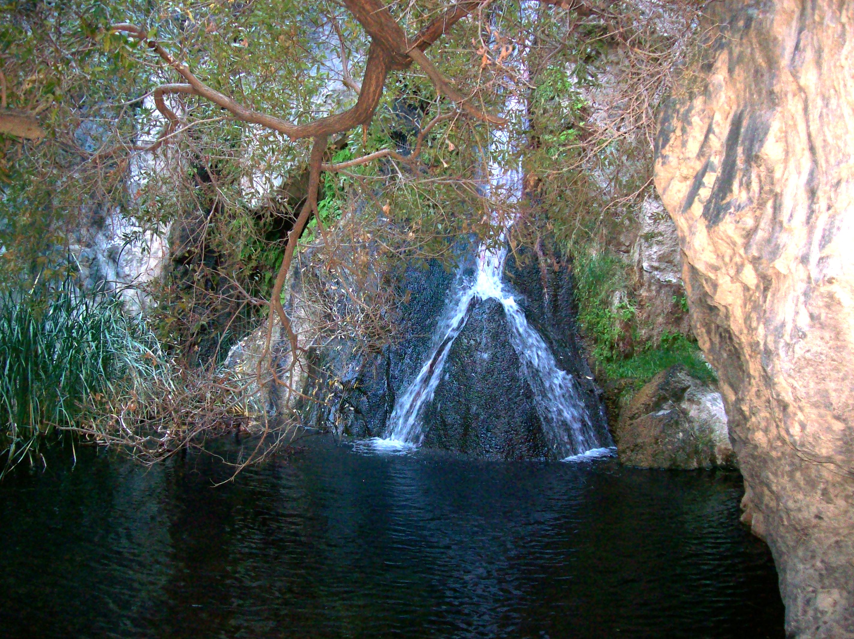
Tiny oasis of Darwin Falls in the middle of Death Valley, California. Spring-fed year-round waterfall in the middle of the driest desert on the continent (darwin49xy)
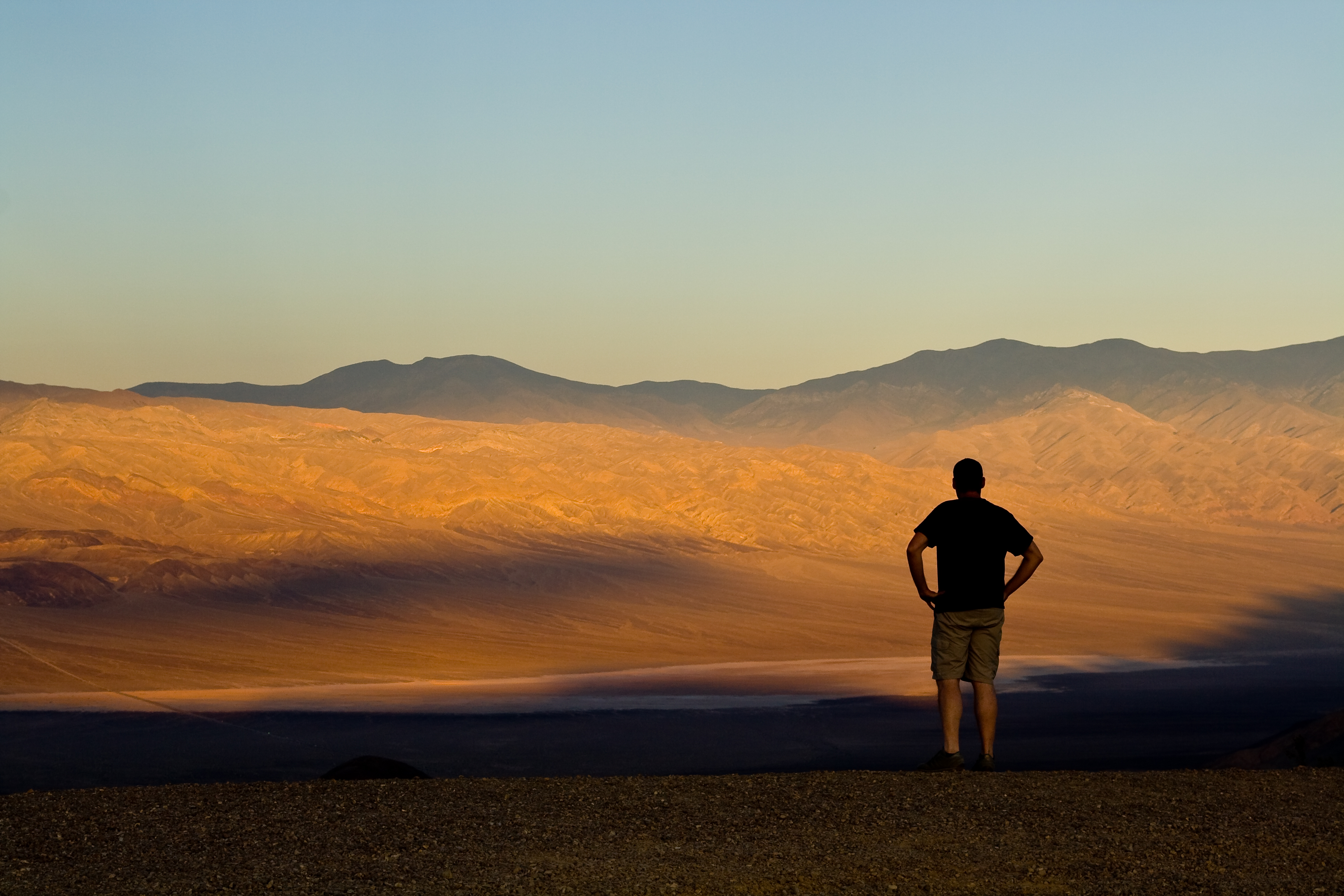
Watching the death valley

Mountain – Death Valley, California

death valley 3 - 80
Looking Down

The view

Sunset in the Death Valley
View from the top

southern view

I've been to
Light and Shadow

Death Valley National Park
I Shall Return

Death Valley - Darwin Falls
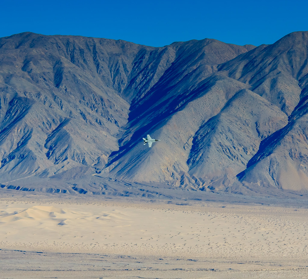
Fighter jet over Father Crowley Point, Death Valley
Desert of Death Valley
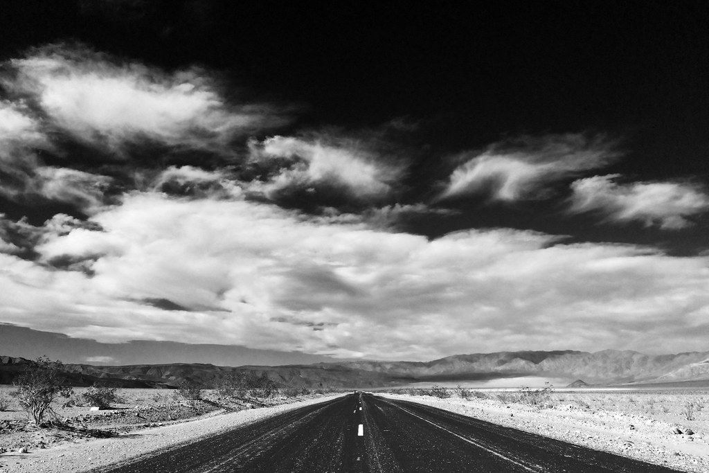
Lonesome desert road

Wild Life in Death Valley

Death Valley Cairn

Darwin Falls
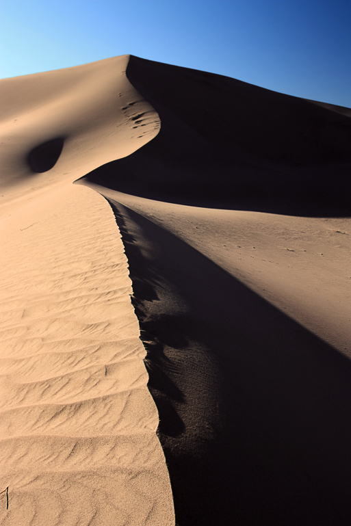
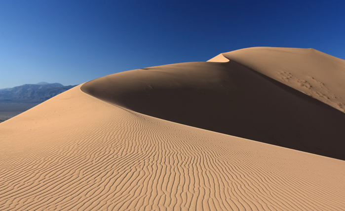
Panamint Dunes

Panamint Range- Death Valley National Park

Zinc Hill Landscape
Des humanoïdes dans le désert

The Jedi Transition

Lonely monument.....
Death Valley
Death Valley - Part IV

Walking to the edge of the world. #explore #exploring #exploremore #rei #rei1440project #adventure #adventures #adventuretime #deathvalley #deathvalleynationalpark #letscamp #photographer #outside #olloclip #optoutside #getoutside #getoutstayout #neversto
Topographic Map of Panamint Springs, CA, USA
Find elevation by address:

Places in Panamint Springs, CA, USA:
Places near Panamint Springs, CA, USA:
CA-, Panamint Springs, CA, USA
Father Crowley Overlook
Inyo County
Bishop
Panamint Dunes
Towne Pass
Telescope Peak
Aguereberry Point
Death Valley National Park
California 190
Yerington Ave, Keeler, CA, USA
Keeler
Panamint
CA-, Lone Pine, CA, USA
6000 Enchanted Lake Rd
US-, Olancha, CA, USA
Olancha
Cartago St, Cartago, CA, USA
Cartago
Sutter St, Trona, CA, USA
Recent Searches:
- Elevation of Elwyn Dr, Roanoke Rapids, NC, USA
- Elevation of Congressional Dr, Stevensville, MD, USA
- Elevation of Bellview Rd, McLean, VA, USA
- Elevation of Stage Island Rd, Chatham, MA, USA
- Elevation of Shibuya Scramble Crossing, 21 Udagawacho, Shibuya City, Tokyo -, Japan
- Elevation of Jadagoniai, Kaunas District Municipality, Lithuania
- Elevation of Pagonija rock, Kranto 7-oji g. 8"N, Kaunas, Lithuania
- Elevation of Co Rd 87, Jamestown, CO, USA
- Elevation of Tenjo, Cundinamarca, Colombia
- Elevation of Côte-des-Neiges, Montreal, QC H4A 3J6, Canada