Elevation of Aguereberry Point, California, USA

Location: United States > California > Inyo County >

Longitude: -117.04811

Latitude: 36.3577257

Elevation: 1915m / 6283feet

Barometric Pressure: 80KPa

Elevation Map:

elevation map of Aguereberry Point, California, USA

Satellite Map:

Satellite map of Aguereberry Point, California, USA

Related Photos:

aguereberrypoint badwatersaltflats clouds deathvalley dusk landscape painterly panamintmountains sunset
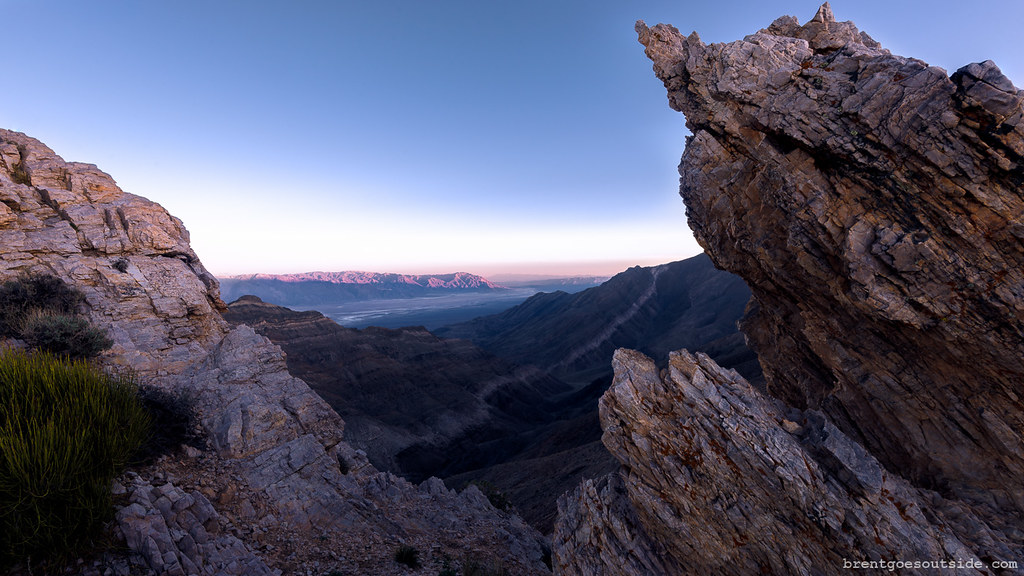
Aguereberry Point at Dusk #2 looking Southeast
aguereberry aguereberrypoint california deathvalley deathvalleynationalpark mormontea usa unitedstates ephedra landscape nationalpark outdoor park plant
Pete's View
california morning winter shadow sky usa cloud mountain snow color sunrise canon landscape photography gold dawn golden scenery view unitedstates atmosphere wideangle valley gradient badwater tiltshift deathvalleynationalpark ericlo aguereberrypoint tse17mmf4l eos5dmarkiii 5d3 tse17l 6433ft
aguereberry point
california ca usa nature sunrise landscape death nationalpark view desert natur valley mojave aussicht landschaft sonnenaufgang wüste kalifornien deathvalleynationalpark panamintmountains 美国 内华达州 加利福尼亚州 死亡谷國家公園 alpenbildde
Aguereberry Point Sunrise
california morning winter shadow sky usa cloud mountain snow color sunrise canon landscape photography dawn scenery view unitedstates atmosphere valley gradient badwater deathvalleynationalpark ericlo aguereberrypoint 24105l ef24105mmf4lisusm eos5dmarkiii 5d3 6433ft
sunrise over death valley
deathvalley nationalpark deathvalleynationalpark california fall autumn november nikond750 tamron2470mmf28 mojavedesert clear sunny sunshine blue sky panamintrange mountains scenic view telescopepeaktrail badwaterbasin pinetrees pinyon
Panamint Foothills
usa deathvalley kalifornien deathvalleynationalpark
Dantes View
deathvalley nationalpark deathvalleynationalpark california november fall autumn thorndike campground wildrosepeak night sky stars starry astronomy astrophotography andromeda tokina1628mmf28 panamintrange dark clear airglow mojavedesert trees nikond750 astrometrydotnet:id=nova1820803 astrometrydotnet:status=failed
Thorndike Night
flower macro green nature dessert gorgeous hasselblad deathvalley carlzeiss hasselblad500cm 8722 fujifilmpro800z carlzeisssonnar150mmf4 proxar05m suchintricacies suchsmallvolumes
Color Like a Day Flower
deathvalleynationalpark deathvalley nationalpark california mojavedesert november fall autumn nikond750 evening clear sunny sunshine blue sky panamintrange telescopepeak pinyon pines trees mountains scenic view
Panamint Ascent
deathvalley nationalpark deathvalleynationalpark california fall autumn november nikond750 tamron2470mmf28 mojavedesert clear sunny sunshine blue sky panamintrange mountains scenic view telescopepeaktrail badwaterbasin pinetrees pinyon
Above Mahogany Flat
Wildrose Charcoal Kilns, Death Valley National Park, California
Death Valley 2 (California, USA, 2016)
usa deathvalley kalifornien
Furnace Creek
The Heavens Declare
aguereberry aguereberrypoint california deathvalley deathvalleynationalpark mormontea panamintmountains usa unitedstates ephedra landscape mountain nationalpark outdoor plant rockformation
Tea Time at Aguereberry
california sunset landscape nationalpark deathvalley deathvalleynationalpark aguereberrypoint
Sunset Blue
desert deathvalley hdr
Zabriskie Point Death Valley 2
2006 america amériquedunord deathvalleynationalpark february fjall février landscape marielaureeven montagne mountain nature neige northamerica northernamerica paysage road roadtrip route snow travel usa unitedstatesofamerica voyage west wild wilderness deathvalley california étatsunis nationalpark parcnational hiver winter гора природа american americain etasunis
Death Valley.
california mountains landscape nationalpark erosion deathvalley range arid alluvialfan panamint deathvalleynationalpark bajada aguereberrypoint aguereberry rainshadow
Looking into the Rain Shadow
auto california morning usa mountain mountains nature berg car trash landscape desert natur berge deathvalley waste landschaft morgen müll hdr wüste kalifornien morgens gebirge 美国 内华达州 加利福尼亚州 死亡谷國家公園 nikhdrefexpro alpenbildde
Harrisburg Wreck
california travel winter sunset nature landscape nationalpark twilight nikon deathvalley february 2015 d610 aguereberrypoint
Agureberry Point
jamesmarvinphelpsphotography jmpphotography cottonballbasin deathvalleynationalpark deathvalley jamesmarvinphelps california clouds photography sunrise “landscapephotography†“nationalpark†“sunrisecolors†“landscapephotography” “nationalpark” “sunrisecolors”
Cottonball Basin
sunset sky mountains clouds desert salt valley deathvalley badwater saltflat badwaterbasin
Badwater Sunset (Death Valley, CA)
california park trip history abandoned landscape unitedstates desert mining national historical deathvalley antiques charcoalkilns sel1635z sonya7ii
Charcoal Kilns, Death Valley
aguereberry aguereberrypoint california deathvalley deathvalleynationalpark usa unitedstates dusk landscape mountains nationalpark outdoor sunset
Sunset at Aguereberry
roadtrip deathvalleynationalpark panamintmountains inyocounty california harrisburg unitedstates us
Balancing Act
sky storm clouds nationalpark ominous incoming deathvalley runaway tempest saltflats badwater
Storm over Badwater (Death Valley, CA)
flickr desert deathvalley hdr
Zabriskie Point Death Valley 1