Elevation of Towne Pass, California, USA
Location: United States > Bishop >
Longitude: -117.28034
Latitude: 36.401611
Elevation: 1511m / 4957feet
Barometric Pressure: 84KPa
Elevation Map:
Satellite Map:
Related Photos:
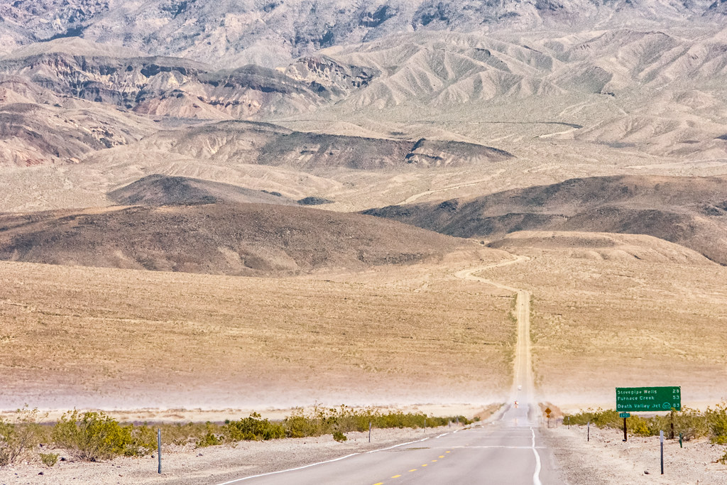
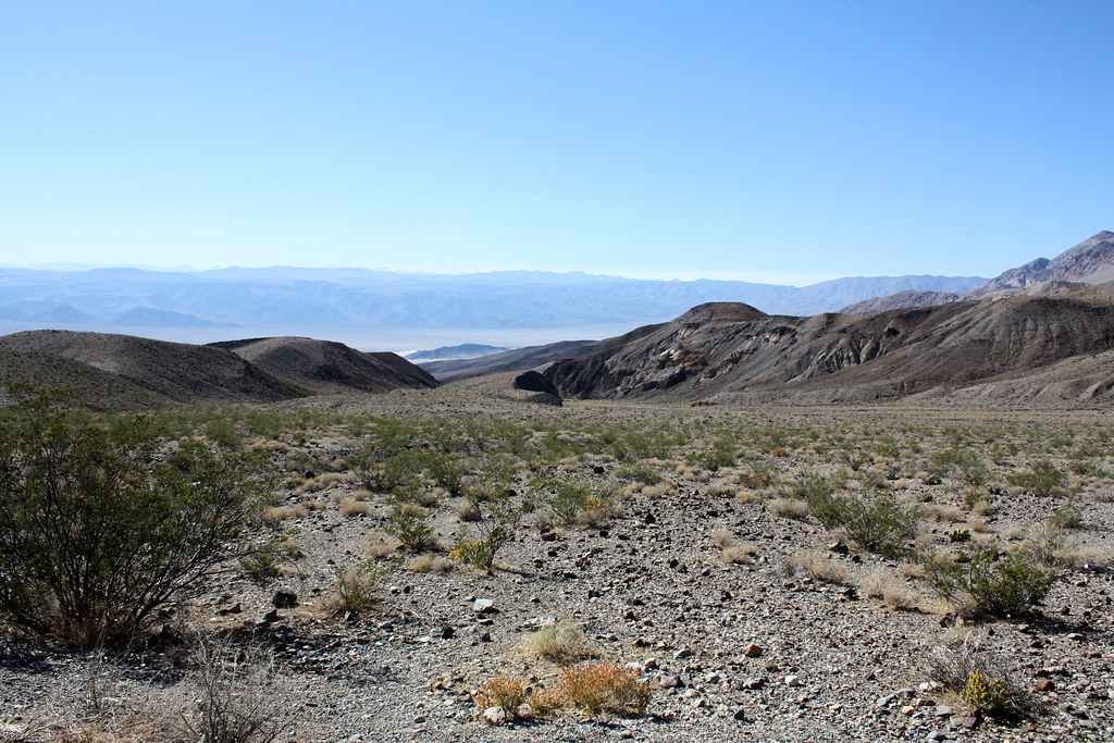
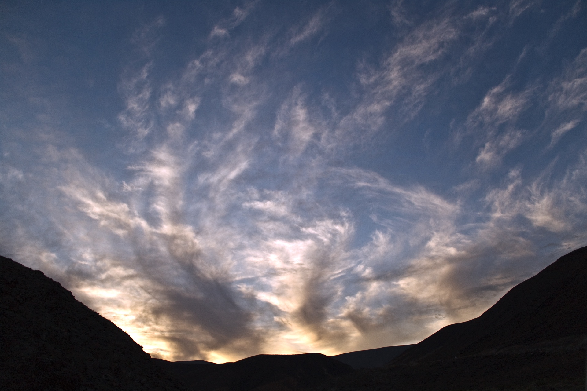
Valley Pass
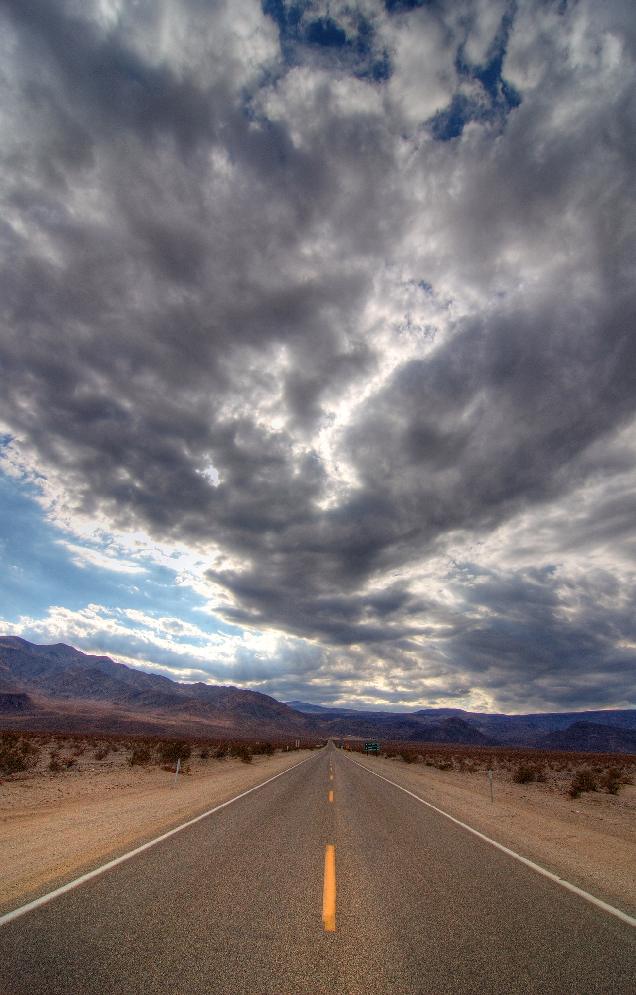
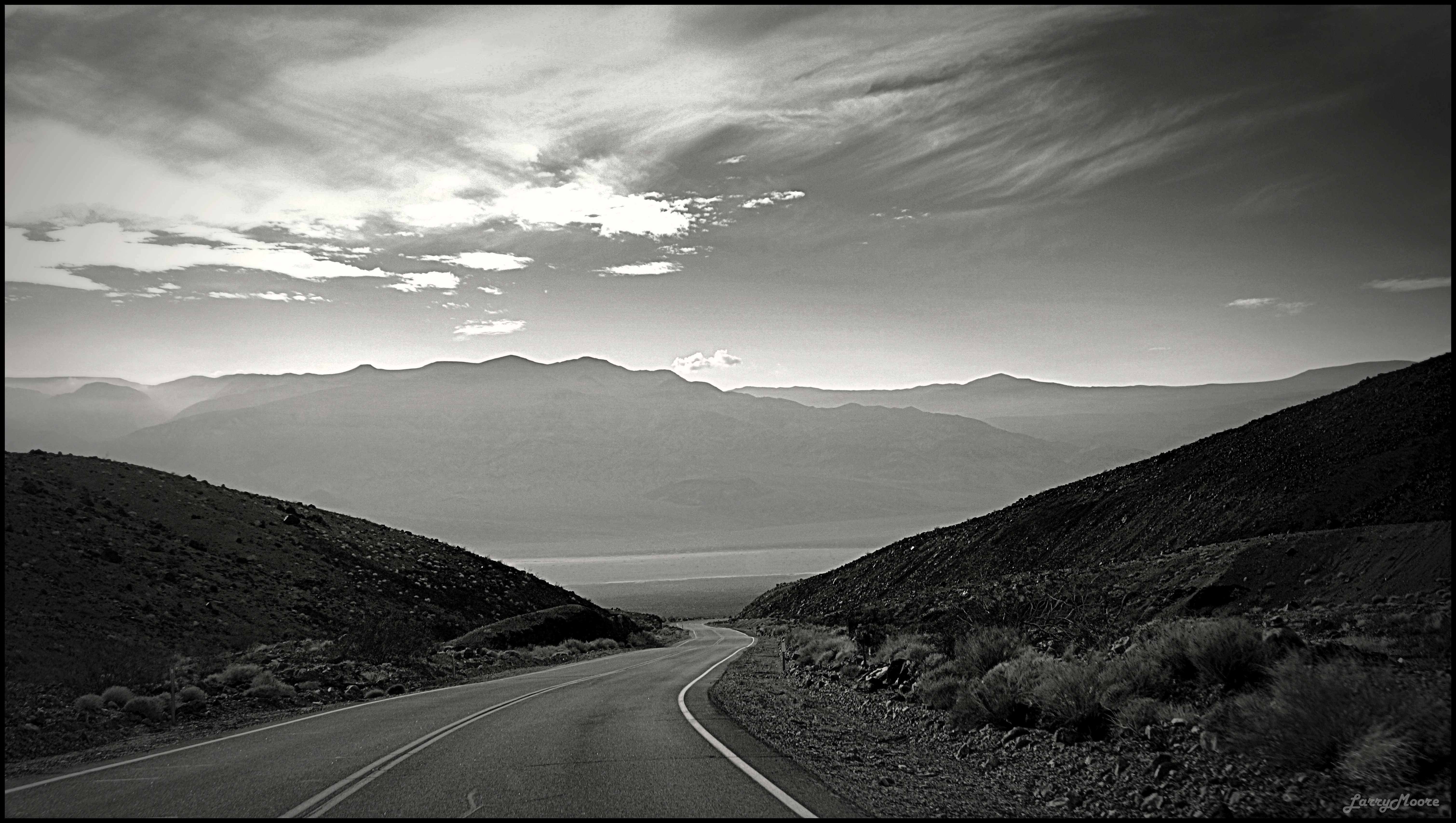
Road and Sky

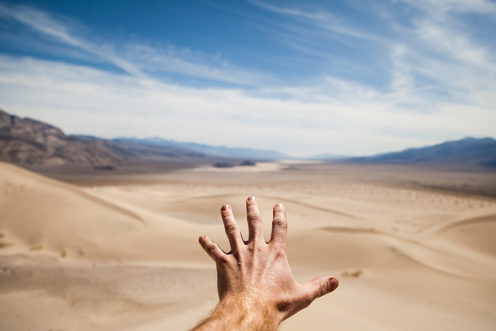
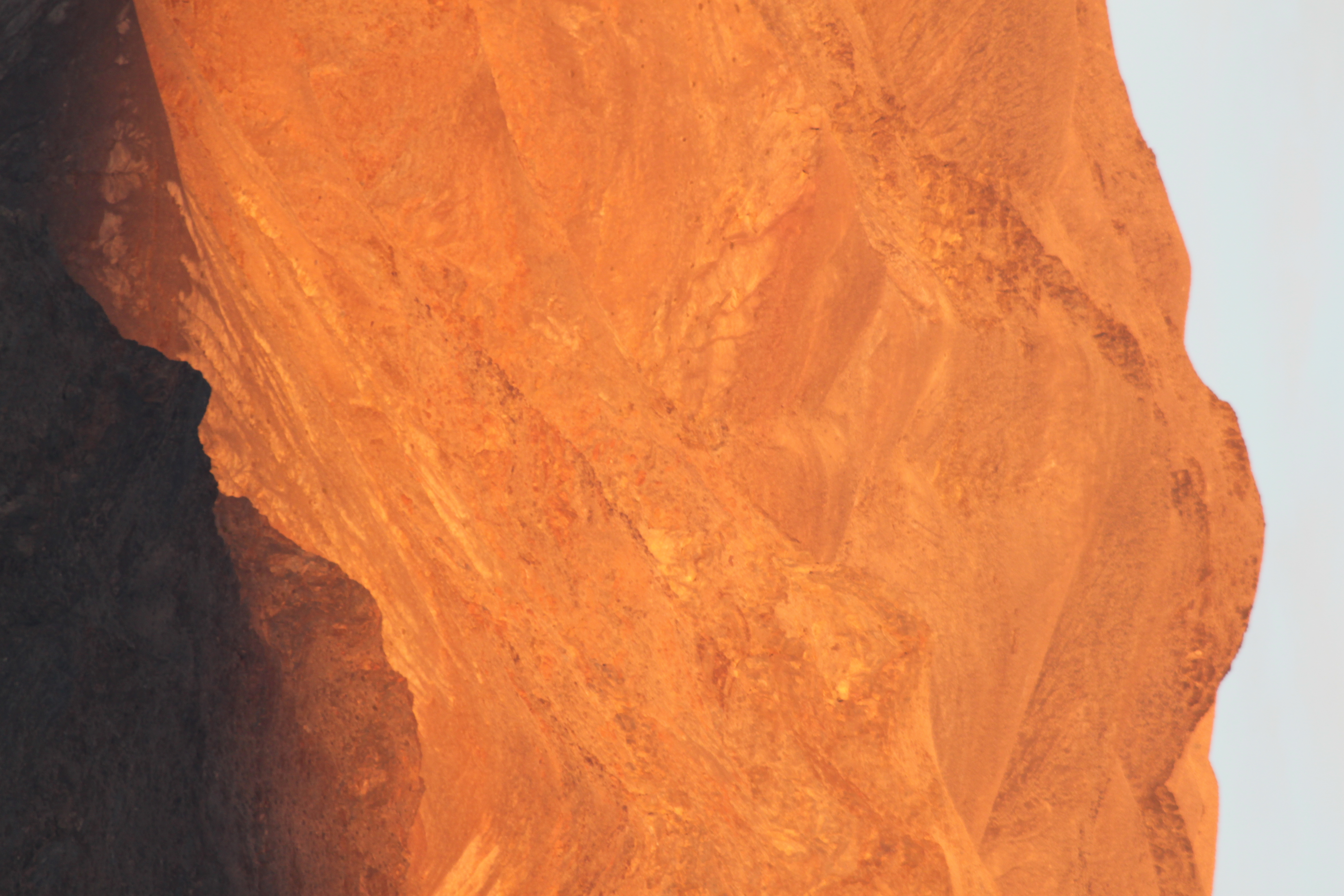
Curtains not included
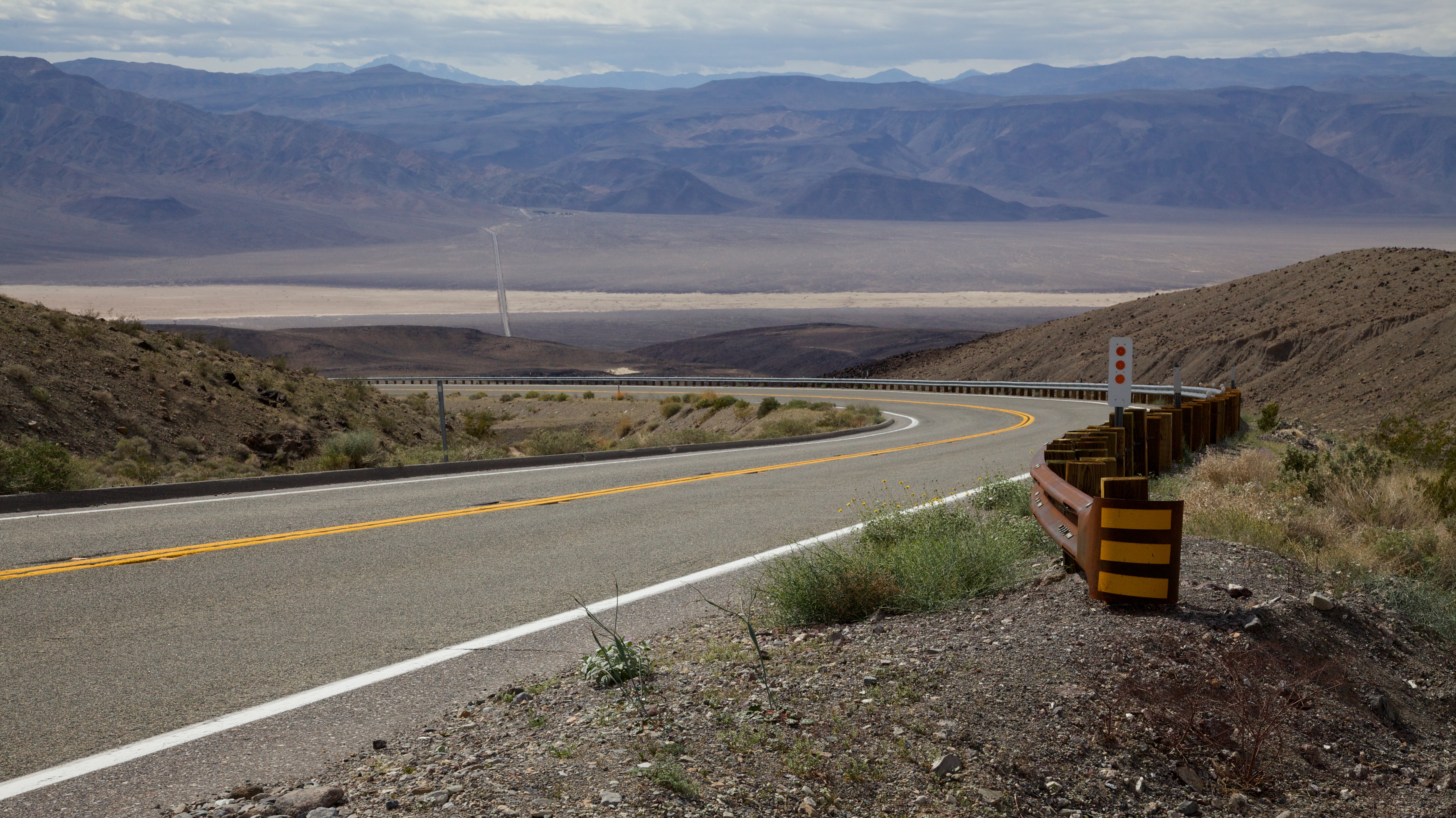
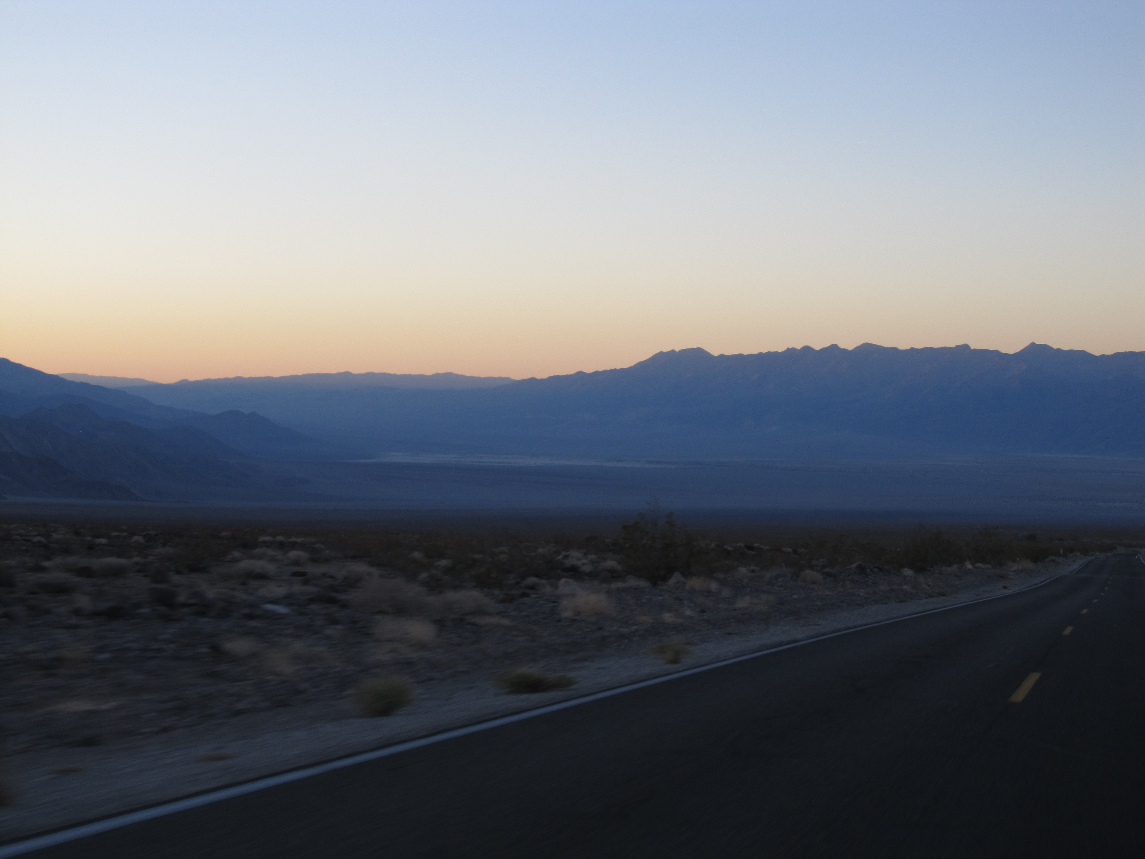
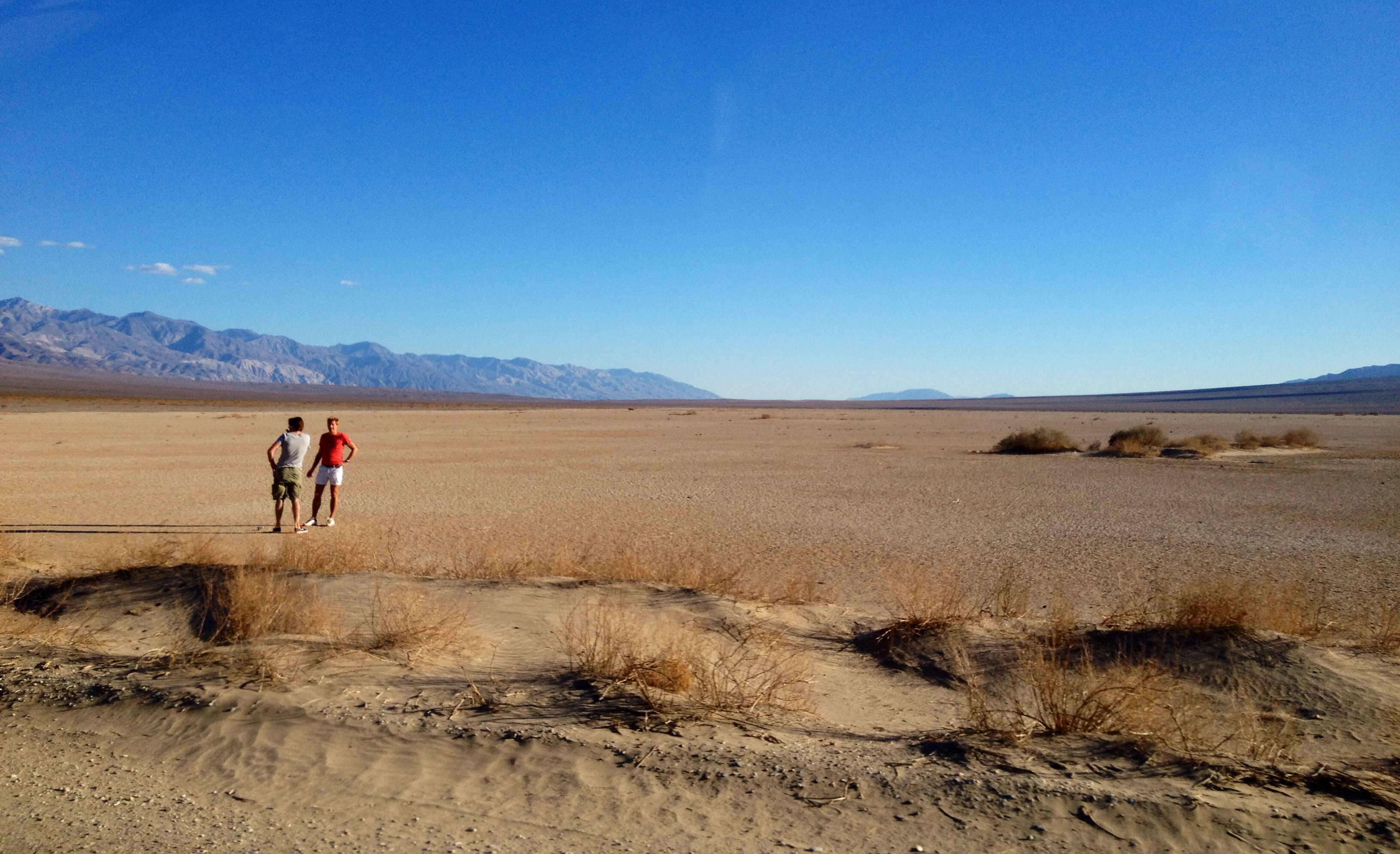
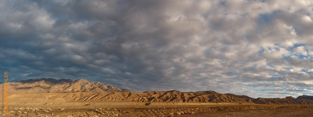
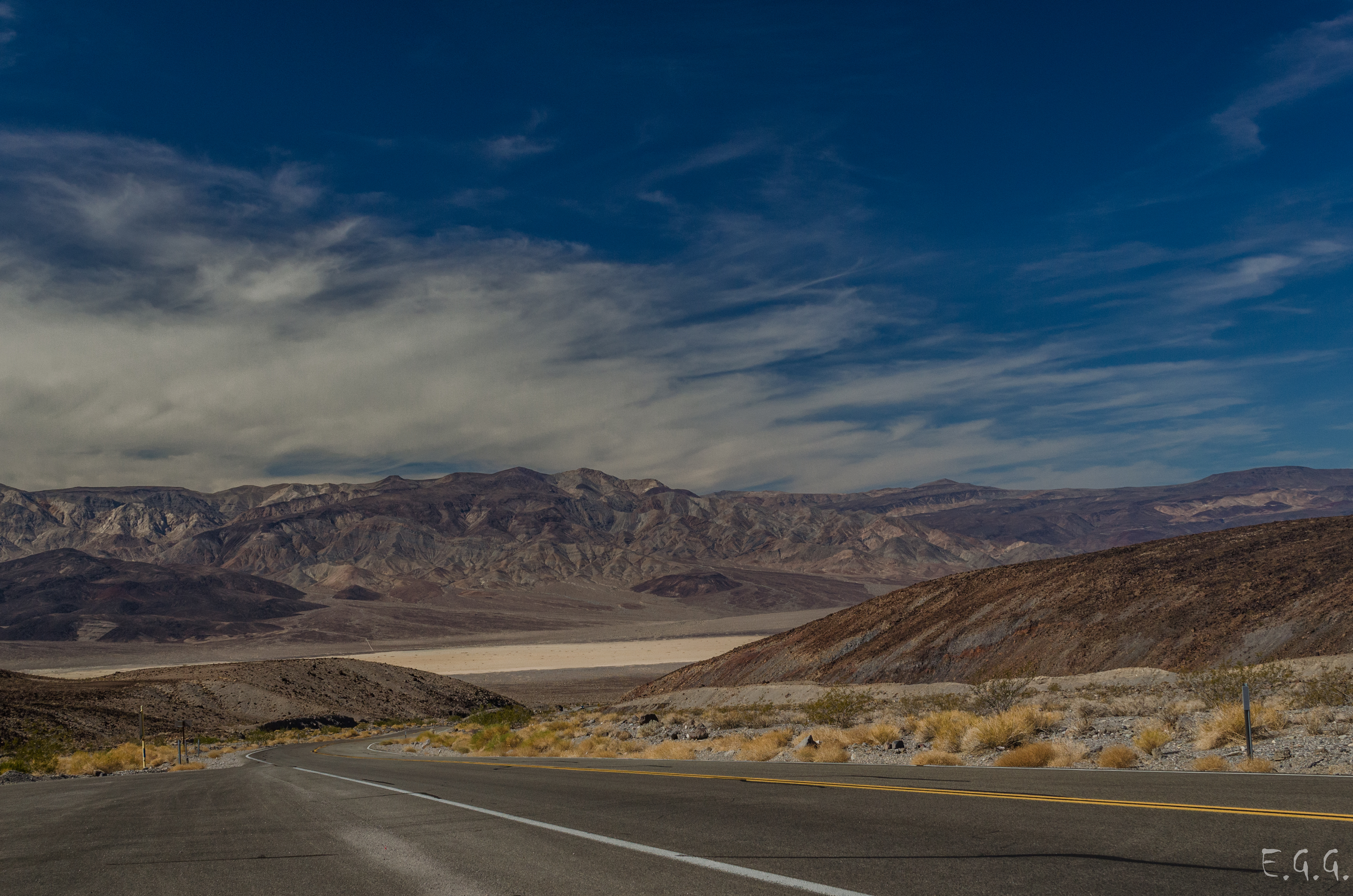
Leaving Panamint Valley
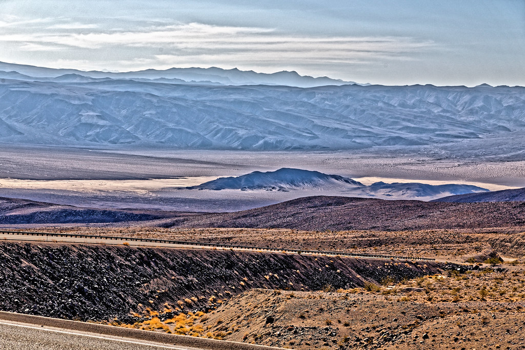
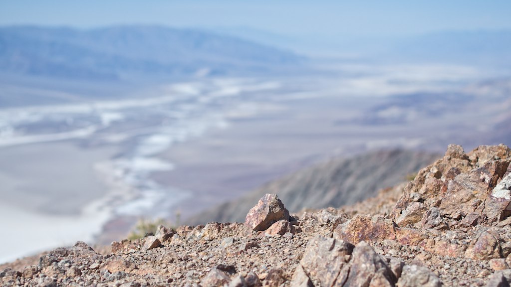
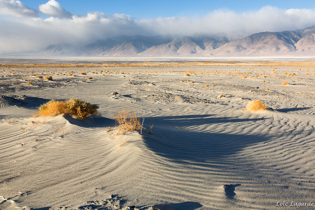
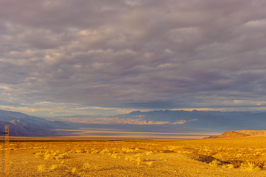
Death Valley view

Color Like a Day Flower
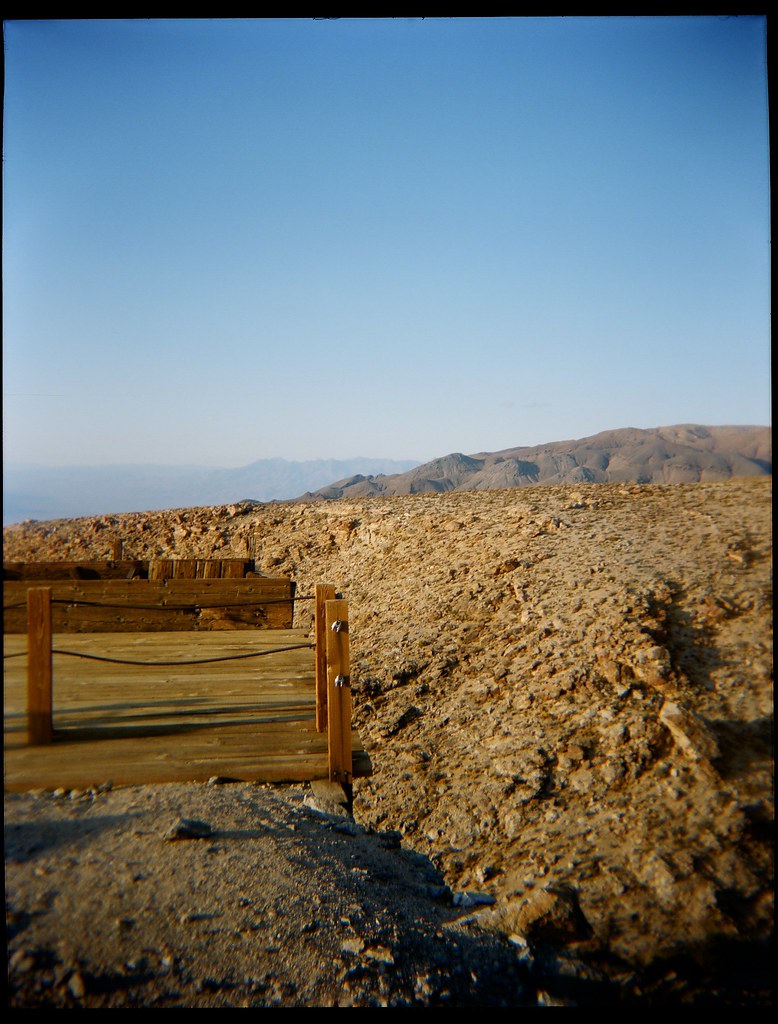
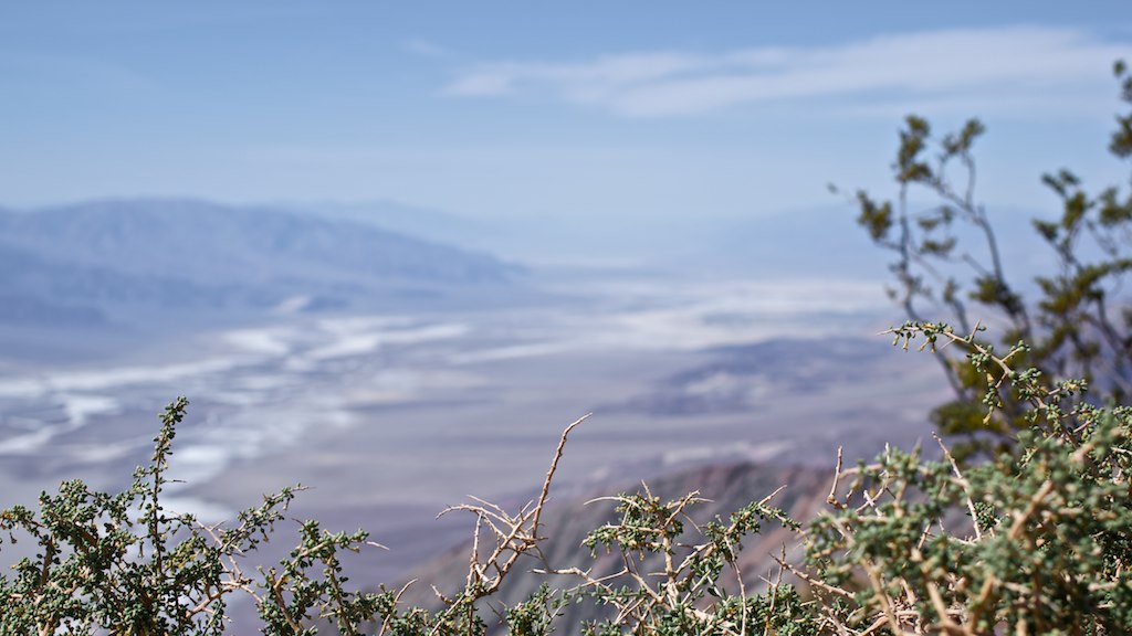
viewing platform
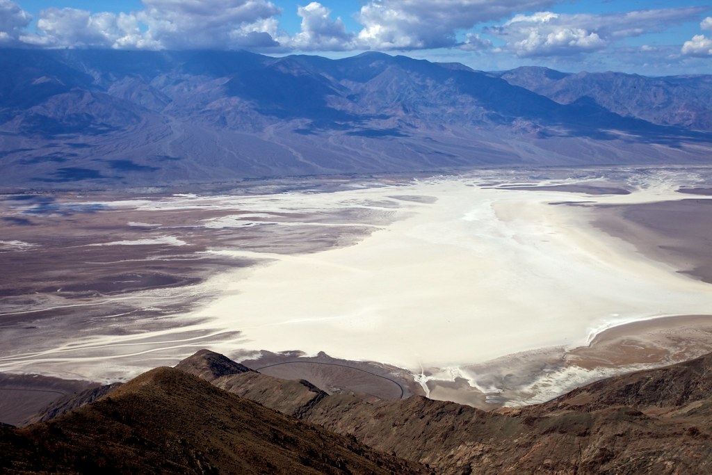
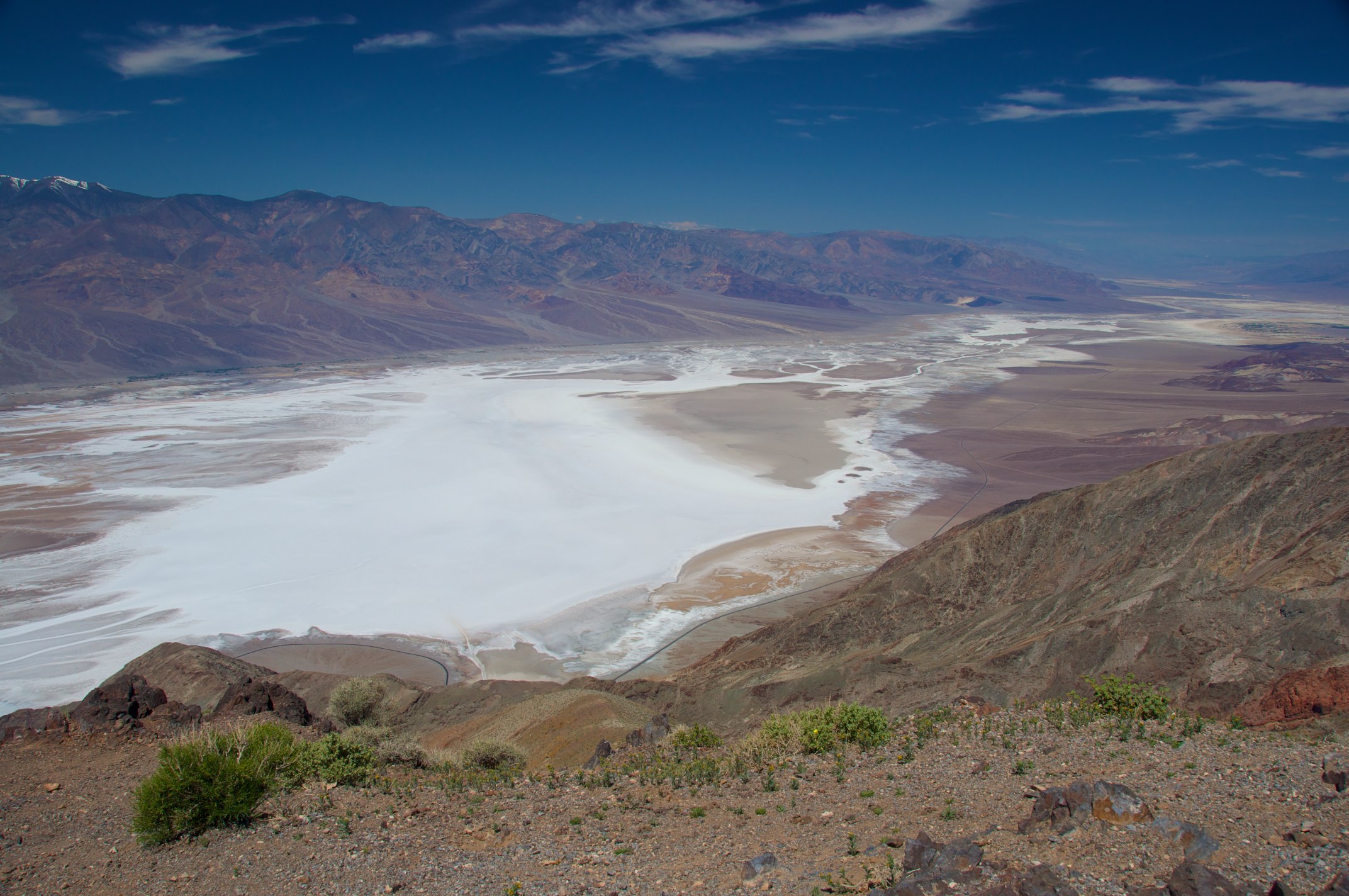
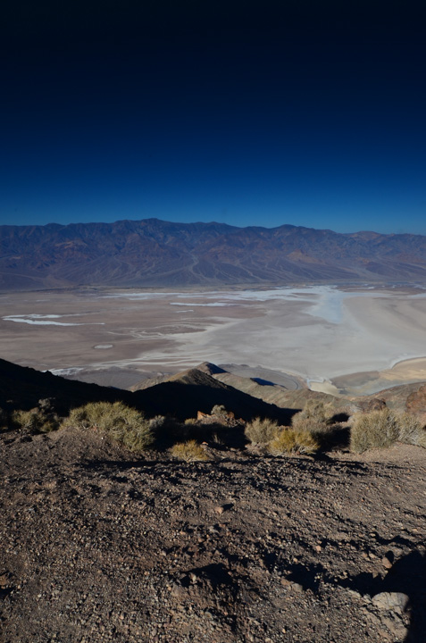
Dantes View
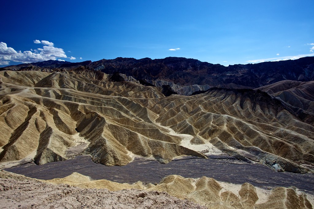
Zabriskie Point
Death Valley - Dante's View
Death Valley National Park
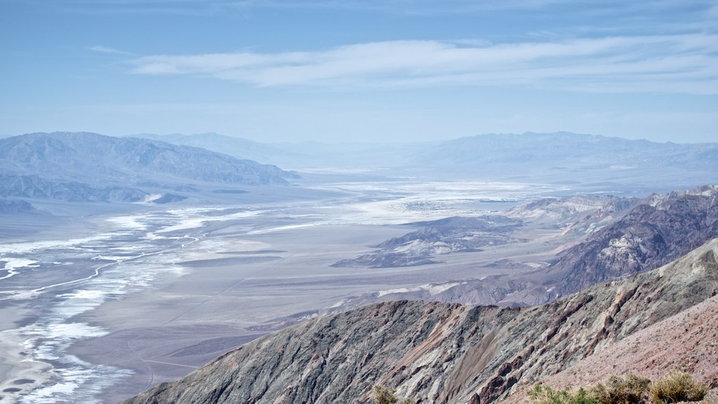
Death Valley - Dante's View
Death Valley - Dante's View
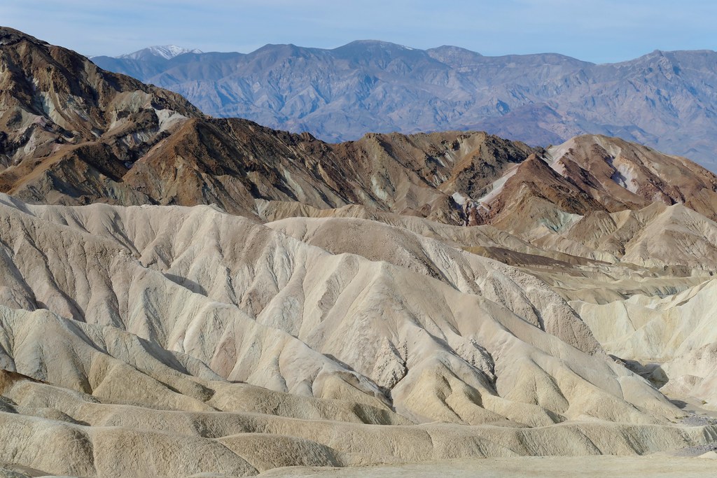
View south from Zabriskie Point.

Shape-Shifting Rockform

View from Side Canyon near Big Four Mine
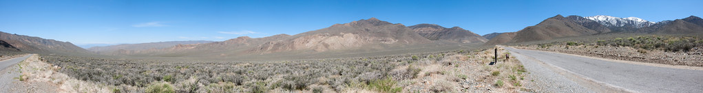
Wildrose Canyon Panorama
View of Dry Lake Manly Entering Death Valley from Panamint Range, California State Route 190, Death Valley National Park
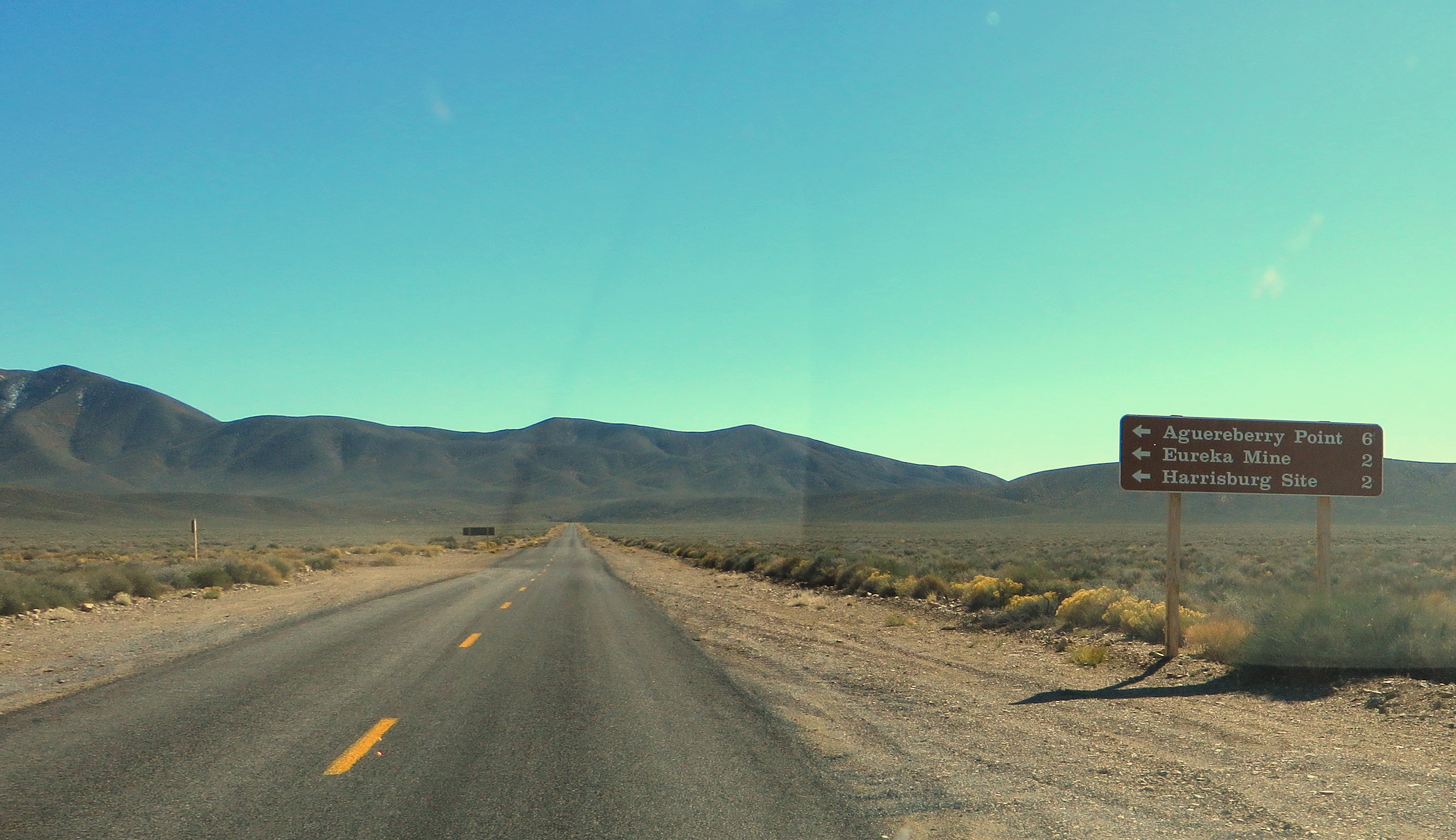
Turnoff to Aguereberry Point, Emigrant Canyon Road, Death Valley National Park, California
View north from Zabriskie Point
Nadeau Trail

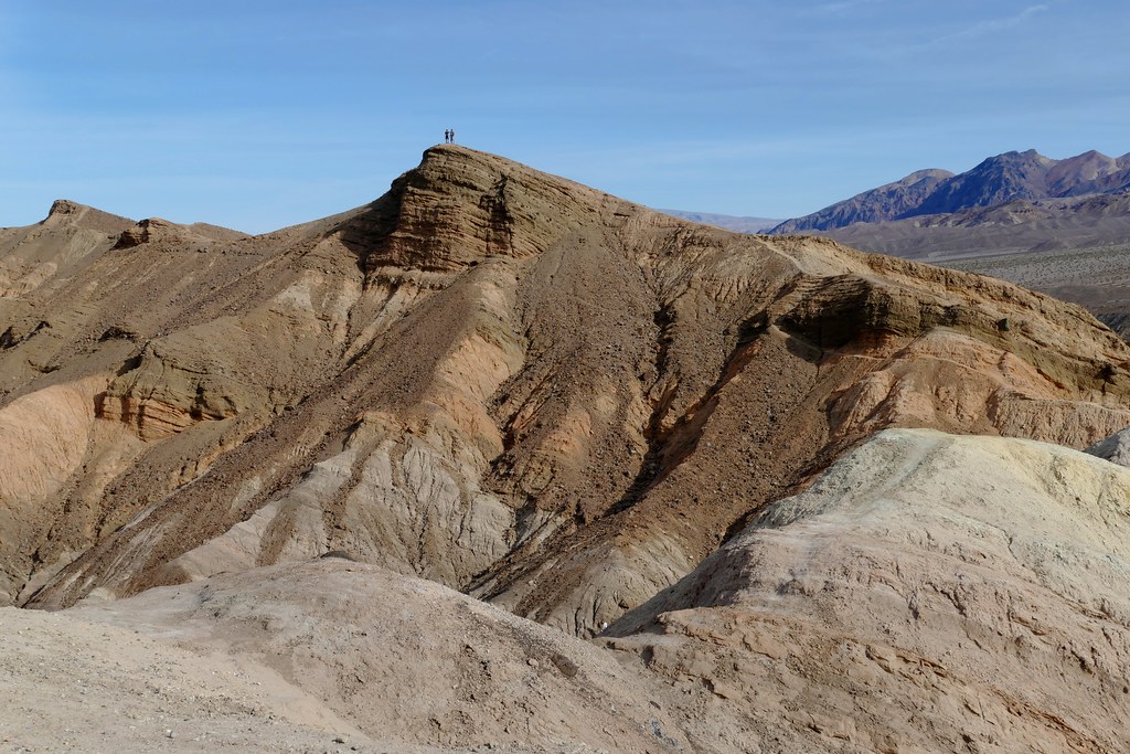
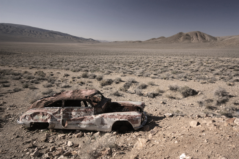
Harrisburg Wreck
Desert of Death Valley
Death Valley - Part IV
Des humanoïdes dans le désert

p_s_002-20131220-IMG_1750 Panorama - cm

Death Valley
凤尾
I Shall Return
20111010-154
Death Valley
Death Valley
DCS_8399.jpg

Winter 2008-16
One Owner - Low Miles
Death Valley Scenic Bywy, Death Valley N.P., CA
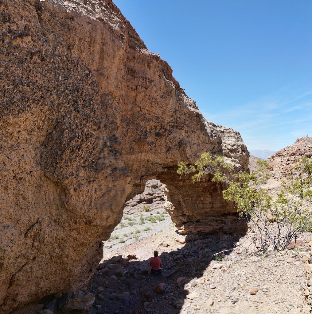
arch shade

2013-08-27 09.23.16

0B4A8713.jpg

Zabriskie Point
Topographic Map of Towne Pass, California, USA
Find elevation by address:

Places near Towne Pass, California, USA:
Panamint Dunes
CA-, Panamint Springs, CA, USA
Panamint Springs
Death Valley National Park
Aguereberry Point
Father Crowley Overlook
Inyo County
Bishop
Telescope Peak
Panamint
Death Valley
Furnace Creek
Furnace Creek Campground
Furnace Creek Visitor Center
Furnace Creek Visitor Center
Sunset Campground
Devils Golf Course
Badwater Road
Artists Drive
Death Valley National Park
Recent Searches:
- Elevation of Luther Road, Luther Rd, Auburn, CA, USA
- Elevation of Unnamed Road, Respublika Severnaya Osetiya — Alaniya, Russia
- Elevation of Verkhny Fiagdon, North Ossetia–Alania Republic, Russia
- Elevation of F. Viola Hiway, San Rafael, Bulacan, Philippines
- Elevation of Herbage Dr, Gulfport, MS, USA
- Elevation of Lilac Cir, Haldimand, ON N3W 2G9, Canada
- Elevation of Harrod Branch Road, Harrod Branch Rd, Kentucky, USA
- Elevation of Wyndham Grand Barbados Sam Lords Castle All Inclusive Resort, End of Belair Road, Long Bay, Bridgetown Barbados
- Elevation of Iga Trl, Maggie Valley, NC, USA
- Elevation of N Co Rd 31D, Loveland, CO, USA