Elevation of Palmyra, WI, USA
Location: United States > Wisconsin > Jefferson County >
Longitude: -88.624135
Latitude: 42.8847797
Elevation: 243m / 797feet
Barometric Pressure: 98KPa
Elevation Map:
Satellite Map:
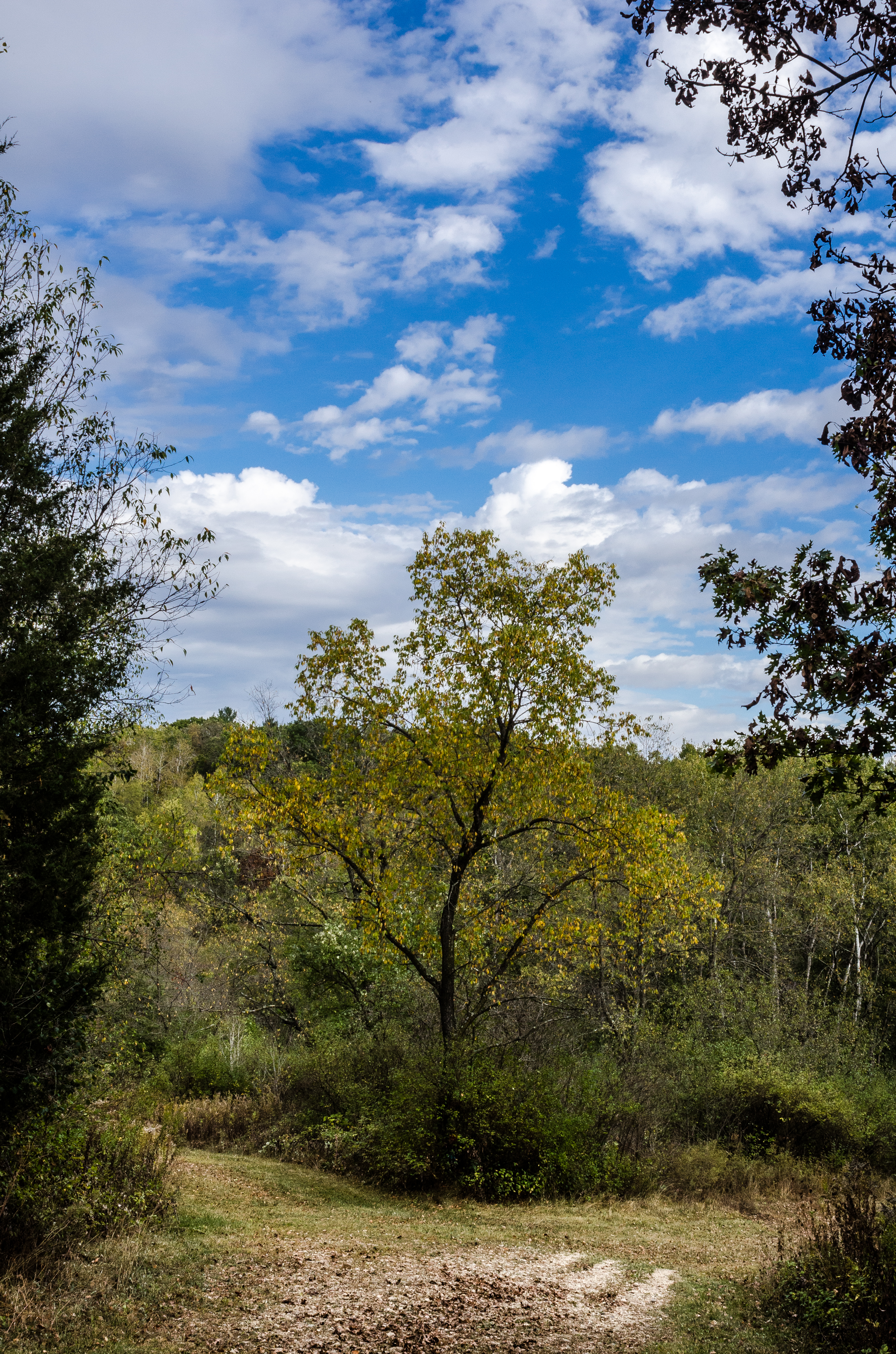
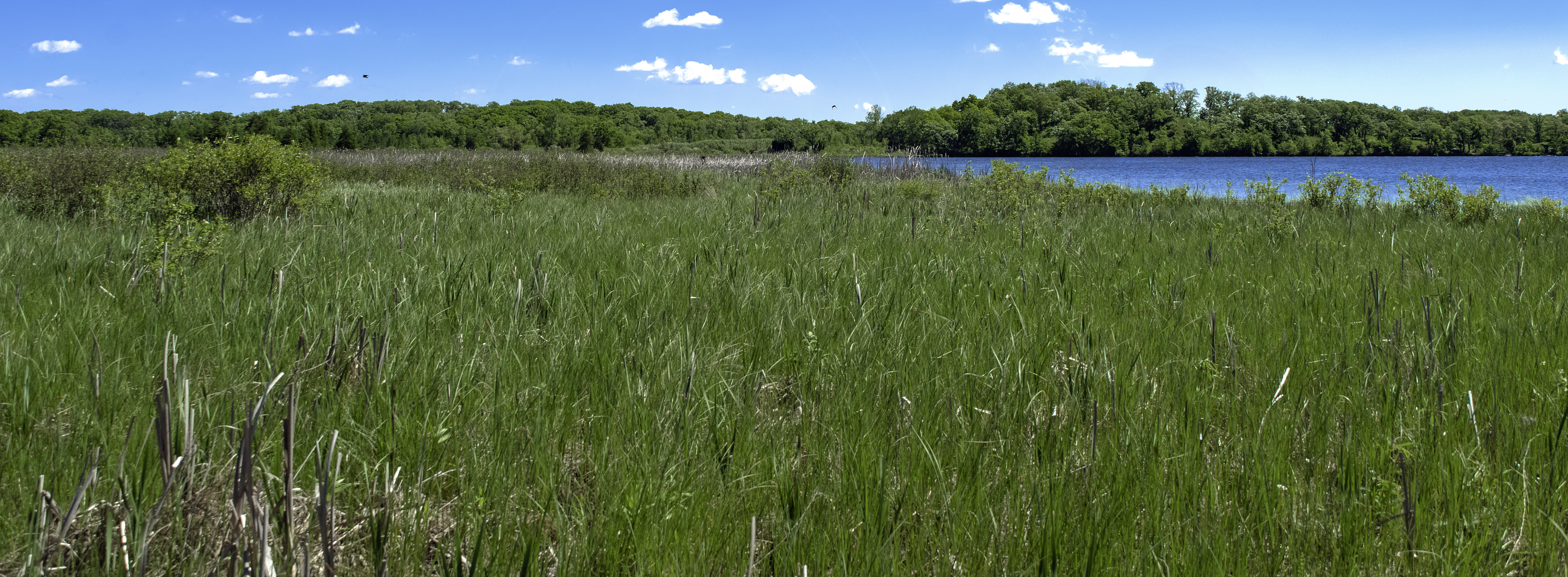
Related Photos:
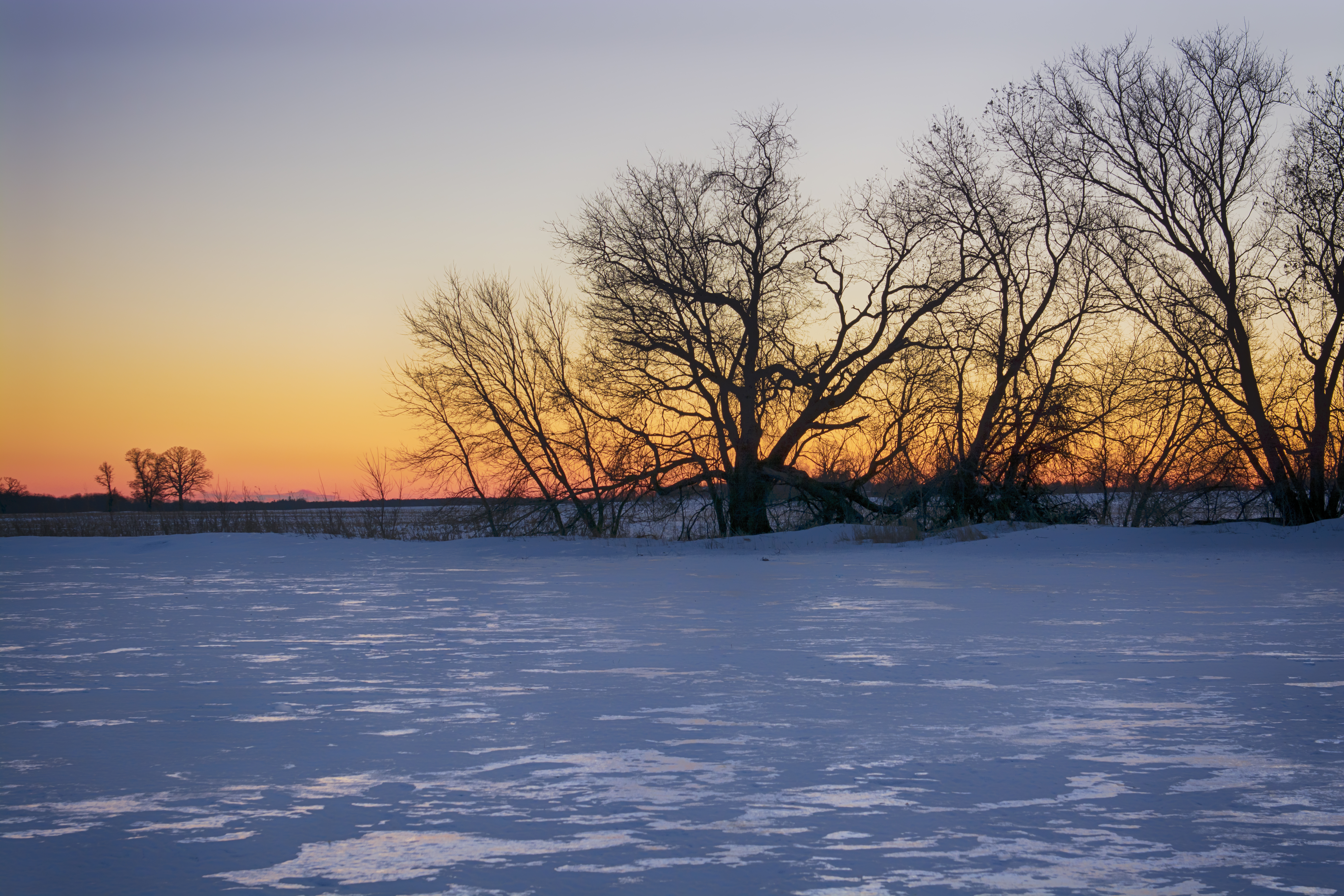
frozen farmland...
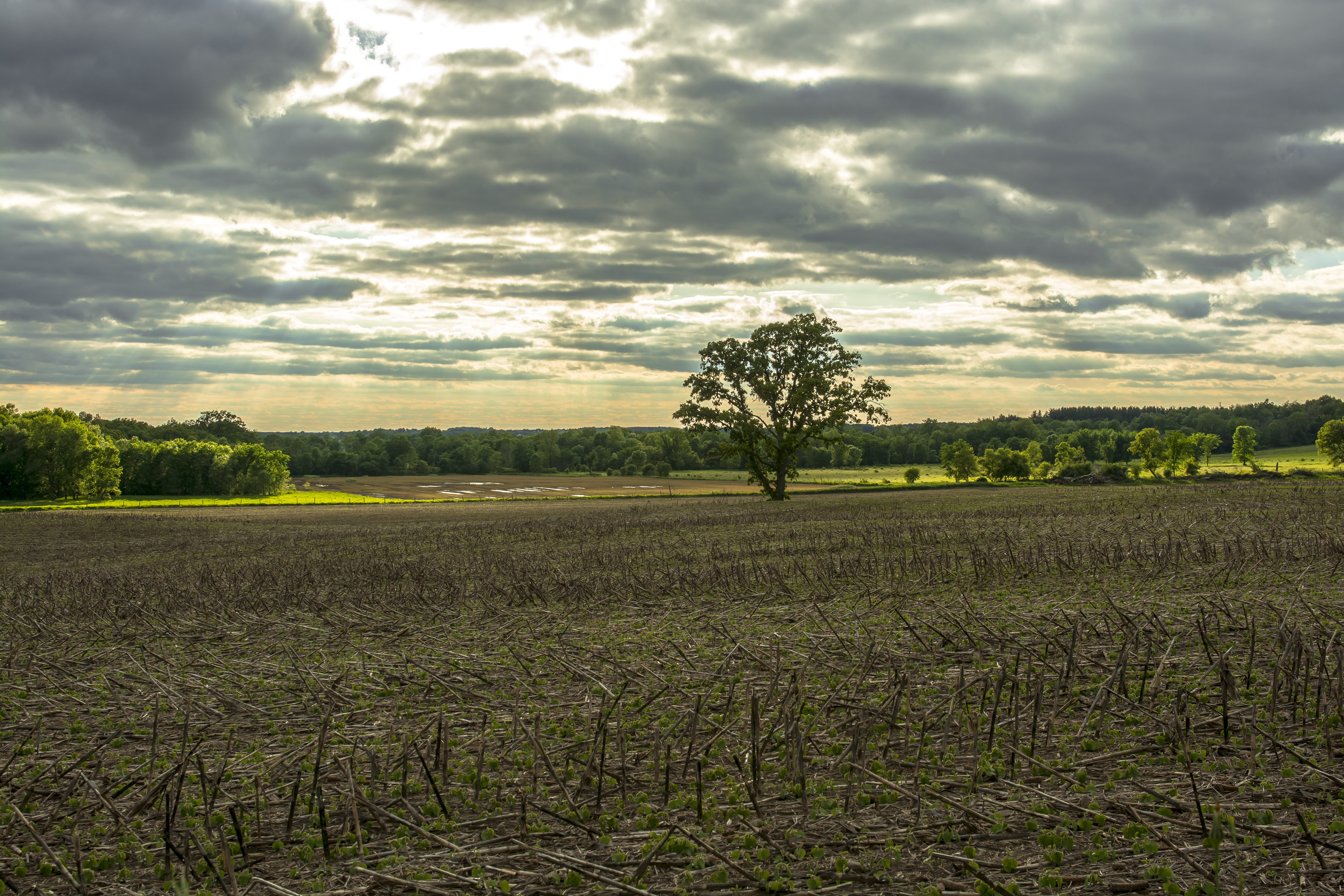
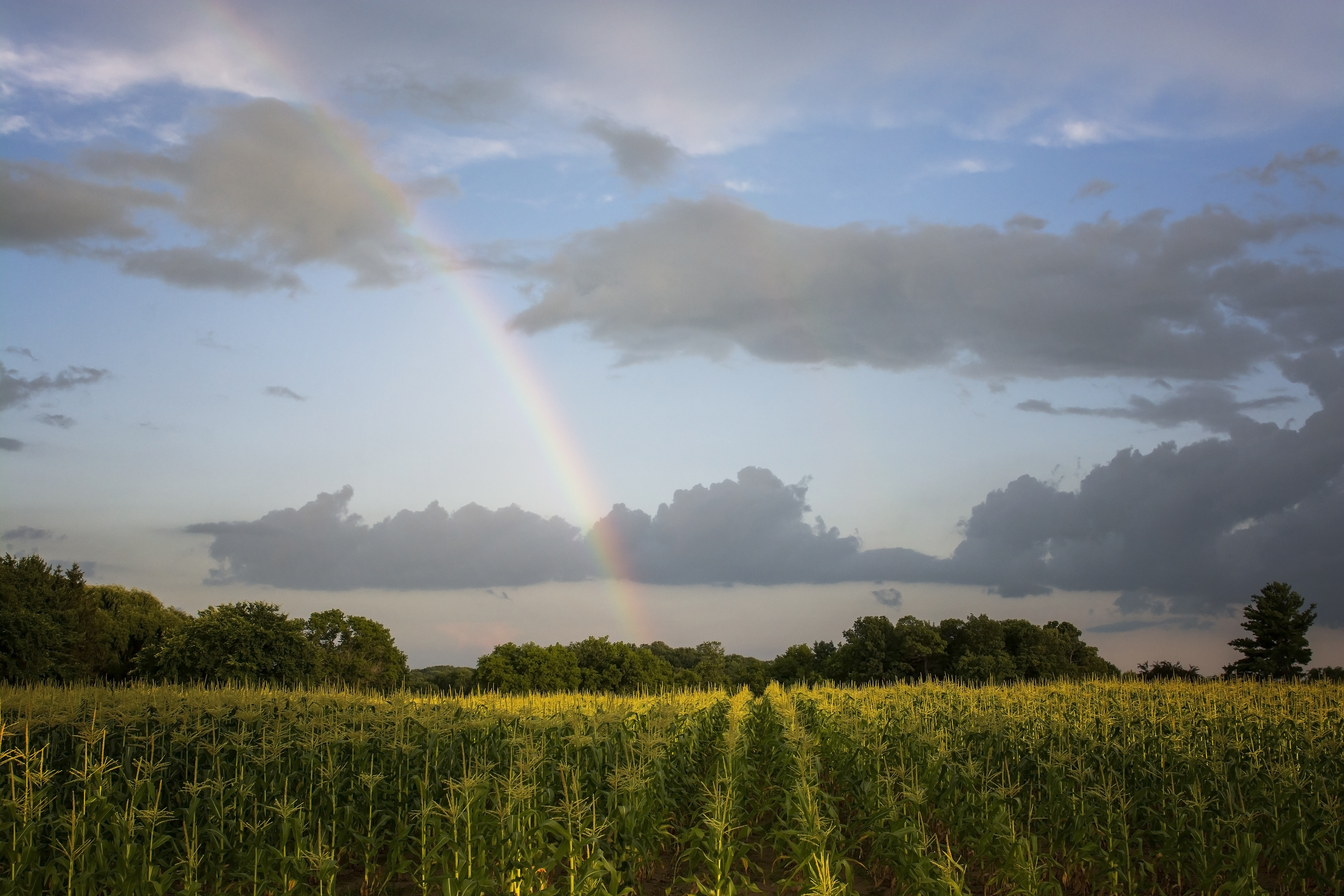
spring sun shower... ***Explored***

In seed time learn, in harvest teach, in Winter enjoy ~William Blake

From The Escape

Scuppernong sunset
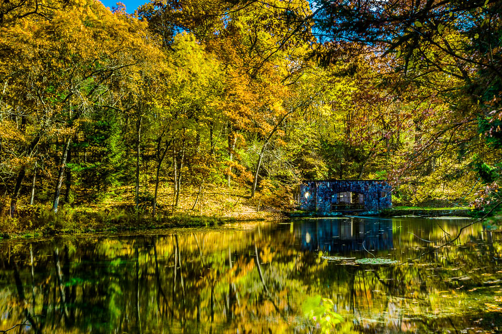
Paradise Springs

Vintage Vehicles Sepia HDR
Sunday in Eagle WI

watercress snowcone

heavy atmosphere

Vintage Vehicles HDR

Bridge To The Marl Pits

Even the frogs were a target
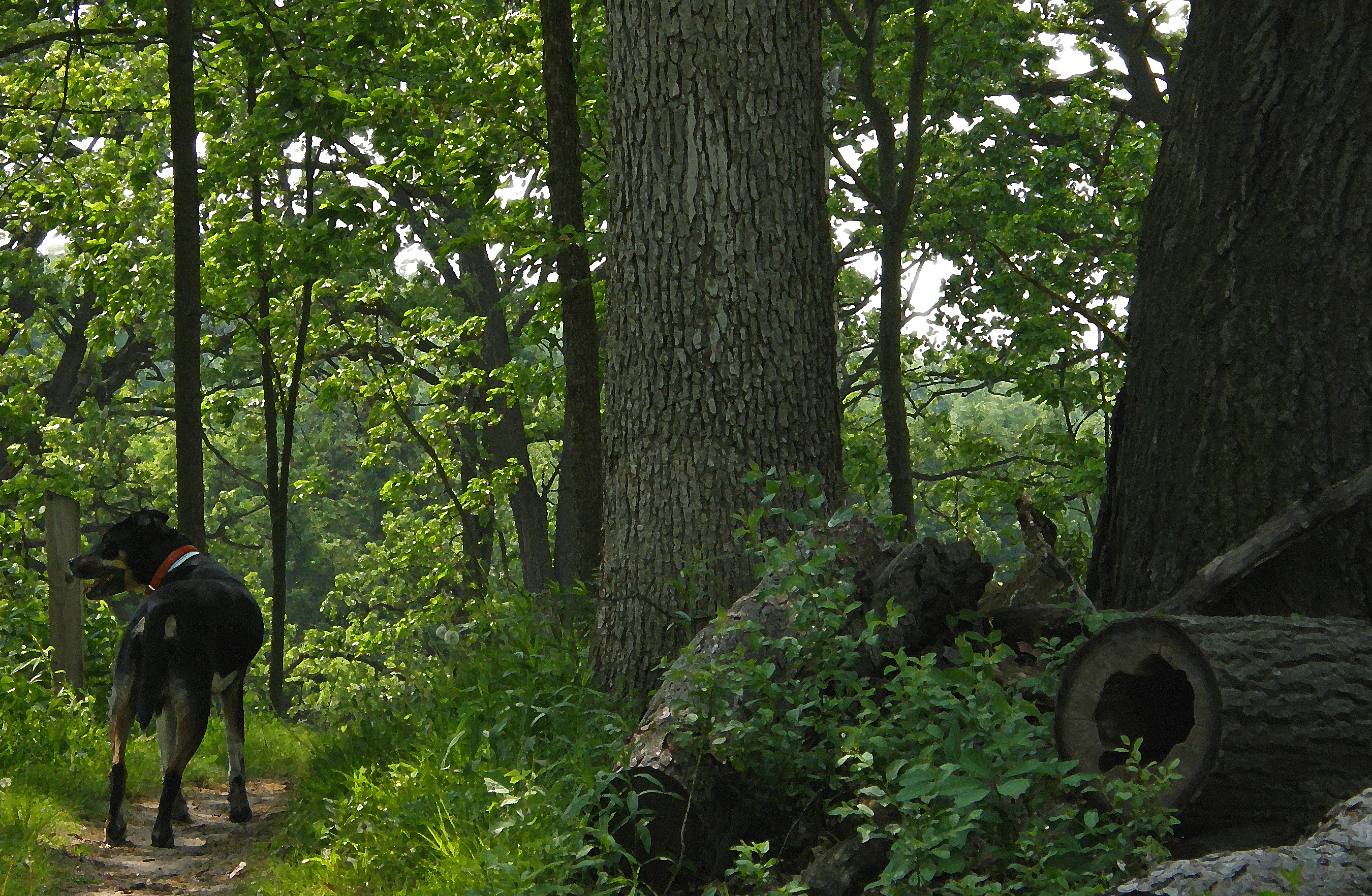
Hiking Scuppernong With Shilo
Clouded view

Scenic Overlook

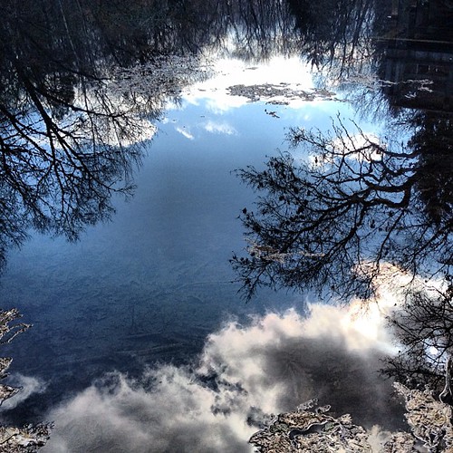
Mystic Cloud

"Get back in the water!"

University Center

Hyland Hall

Route 128

prairie comet
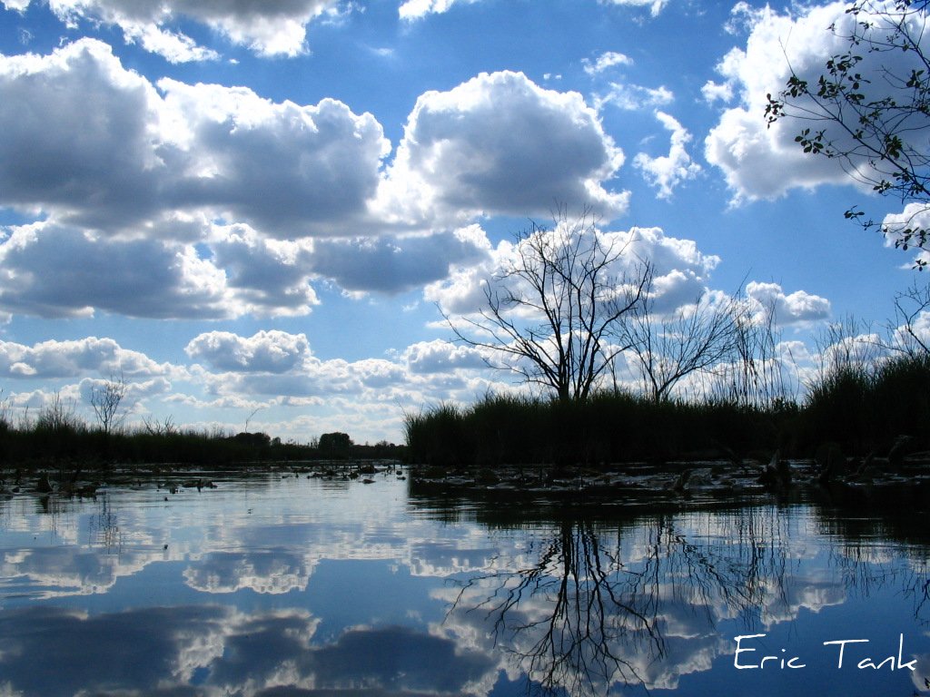
#spring #sky #clouds #water #tree #reflection
fields of gold...
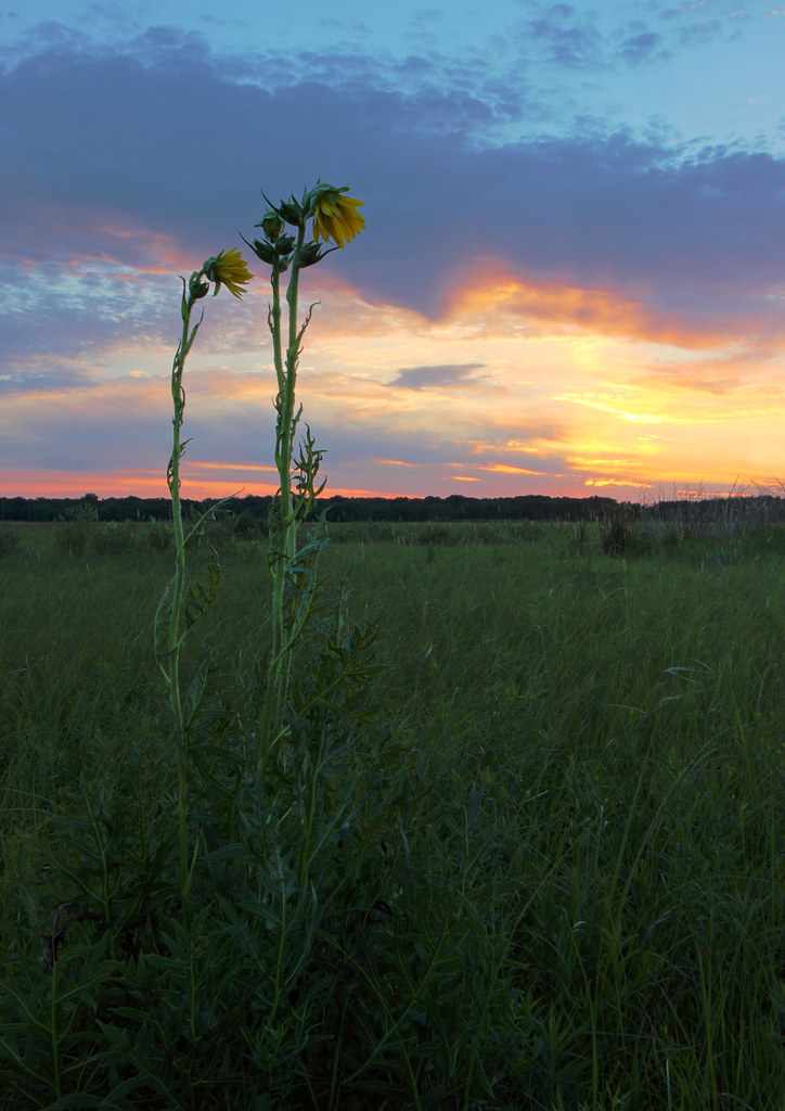
Compass Plants
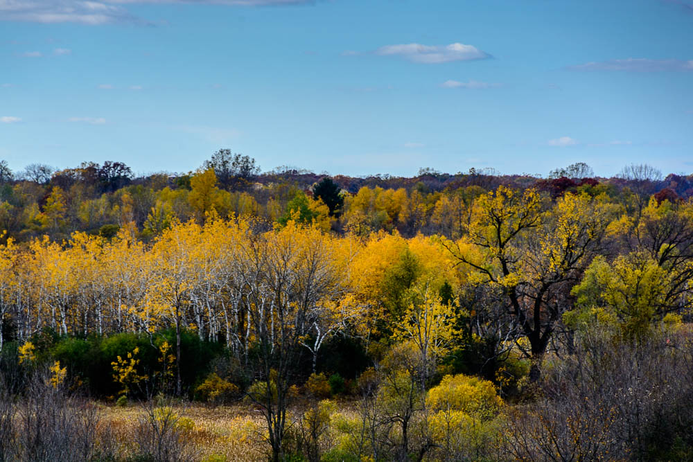
Kettle Moraine Colors
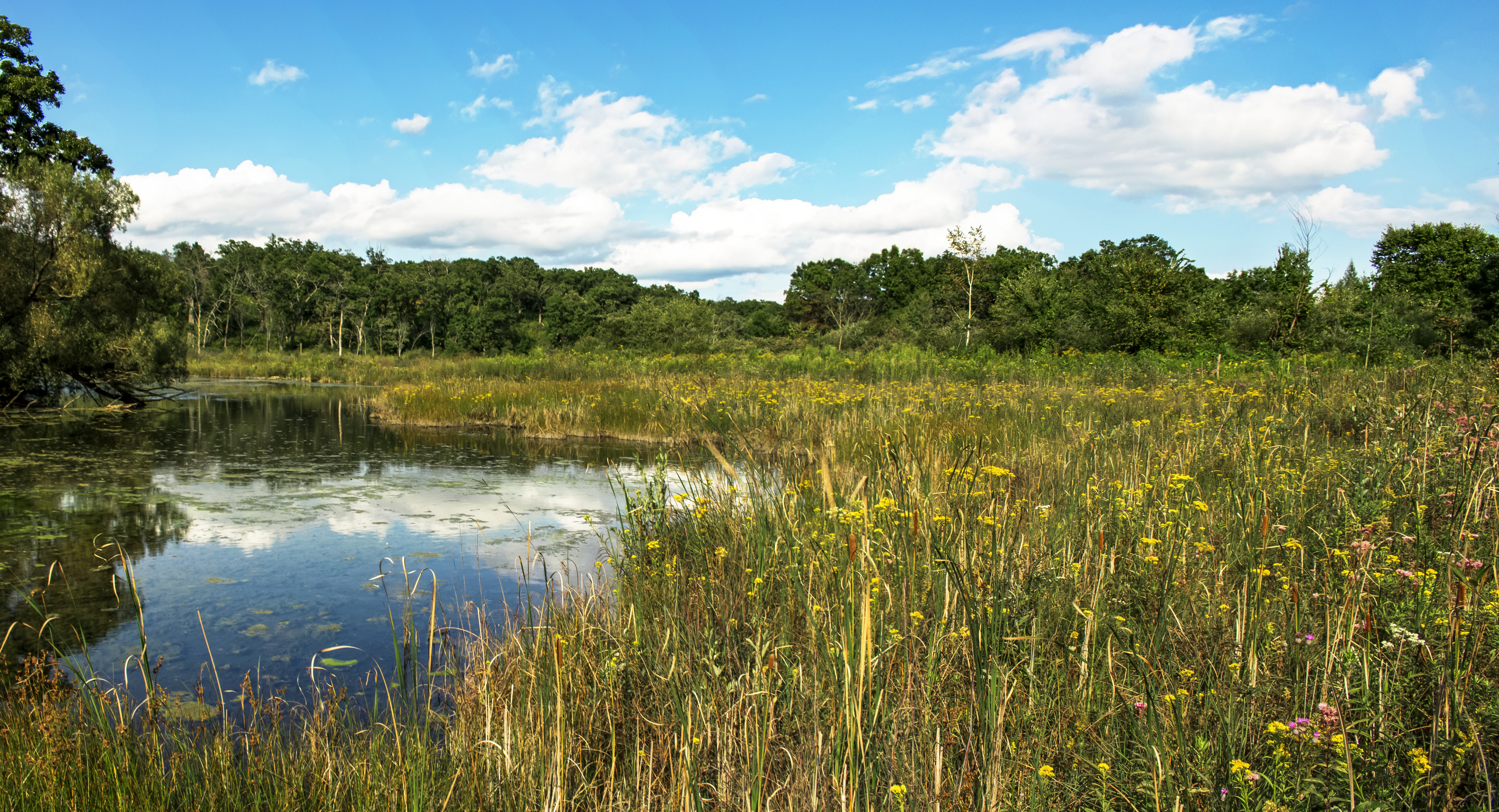
Crooked Creek Preserve

Winter Solace

Spring House
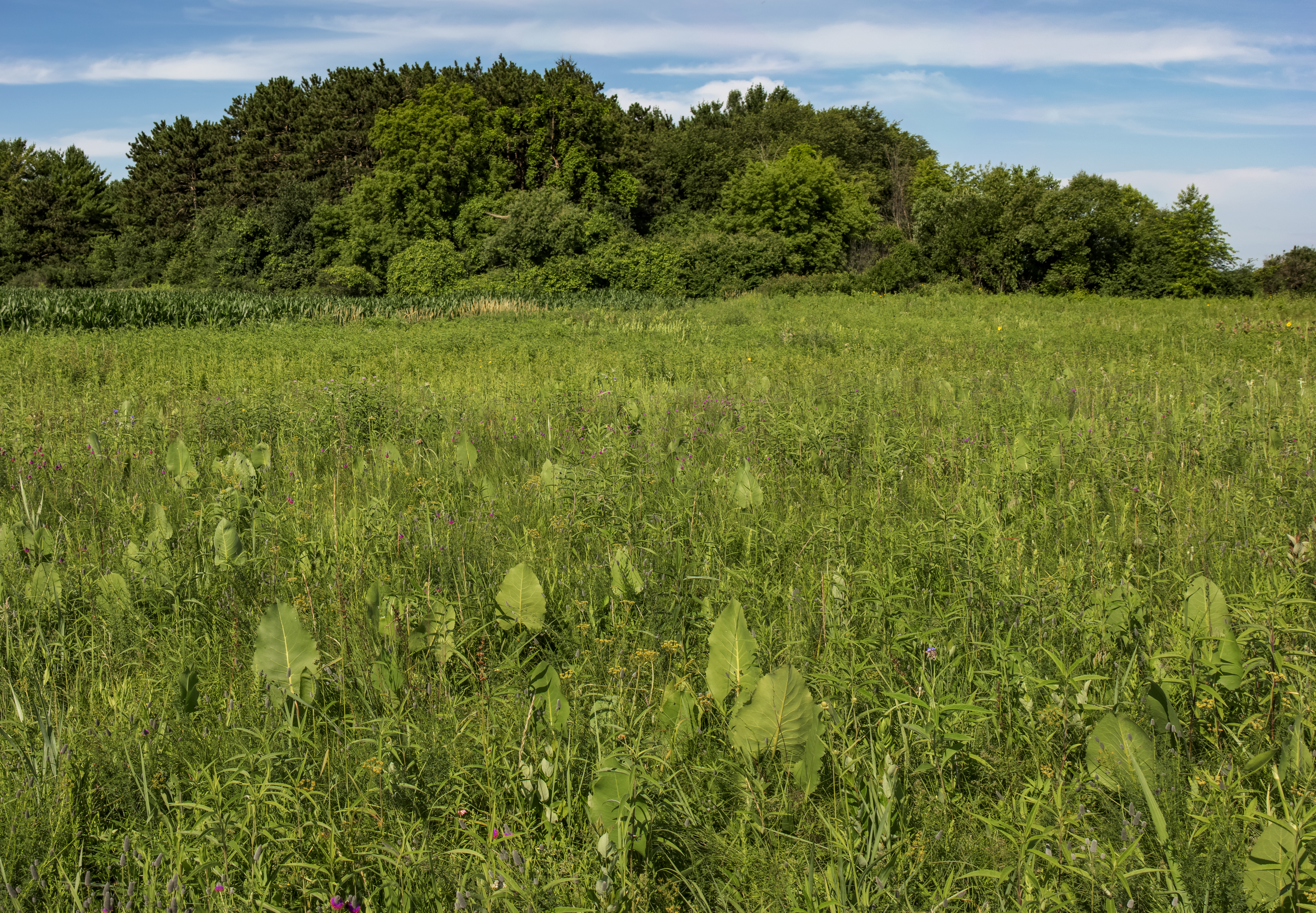
Young Prairie State Natural Area

Bluff Creek State Natural Area
Fork_in_the_Road #forest

"So Close, No Matter How Far... Couldn't Be Much More From The Heart"
Lulu Lake State Natural Area
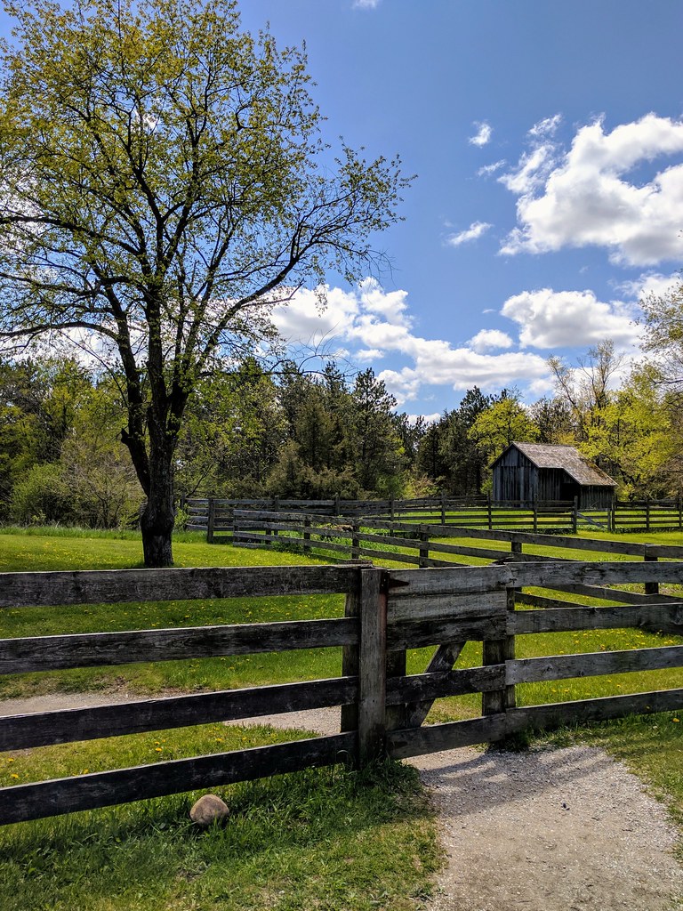
Old world Wisconsin

Lulu Lake State Natural Area

Winter Peace

Paradise Springs April 2015-1.jpg
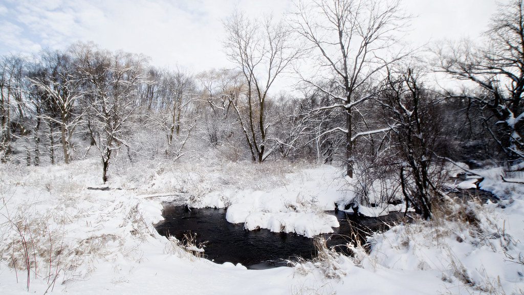
Winter Creek
Walk of Pain
Topographic Map of Palmyra, WI, USA
Find elevation by address:

Places near Palmyra, WI, USA:
Mclery Cemetery
Sullivan
N3635
136a
Whitewater
Calvary Cemetery
1033 W Walworth Ave
Sugar Creek
W8338 Territorial Rd
Richmond
Lake Lorraine Road
7317 N Sturtevant Rd
344 Merchants Ave
96 N Main St, Fort Atkinson, WI, USA
Fort Atkinson
Jefferson
Jefferson County
Jefferson County Fair Park
Delavan, WI, USA
N7354 Switzke Rd
Recent Searches:
- Elevation of 6 Rue Jules Ferry, Beausoleil, France
- Elevation of Sattva Horizon, 4JC6+G9P, Vinayak Nagar, Kattigenahalli, Bengaluru, Karnataka, India
- Elevation of Great Brook Sports, Gold Star Hwy, Groton, CT, USA
- Elevation of 10 Mountain Laurels Dr, Nashua, NH, USA
- Elevation of 16 Gilboa Ln, Nashua, NH, USA
- Elevation of Laurel Rd, Townsend, TN, USA
- Elevation of 3 Nestling Wood Dr, Long Valley, NJ, USA
- Elevation of Ilungu, Tanzania
- Elevation of Yellow Springs Road, Yellow Springs Rd, Chester Springs, PA, USA
- Elevation of Rēzekne Municipality, Latvia