Elevation of N Switzke Rd, Watertown, WI, USA
Location: United States > Wisconsin > Jefferson County > Watertown >
Longitude: -88.731773
Latitude: 43.110326
Elevation: 250m / 820feet
Barometric Pressure: 98KPa
Elevation Map:
Satellite Map:
Related Photos:

On Patrol

lone oak III

Revisiting the Past

Near The Top

Herring Gull Great Black-backed Gull hybrid 27 DEC 2012 Jefferson Co WI
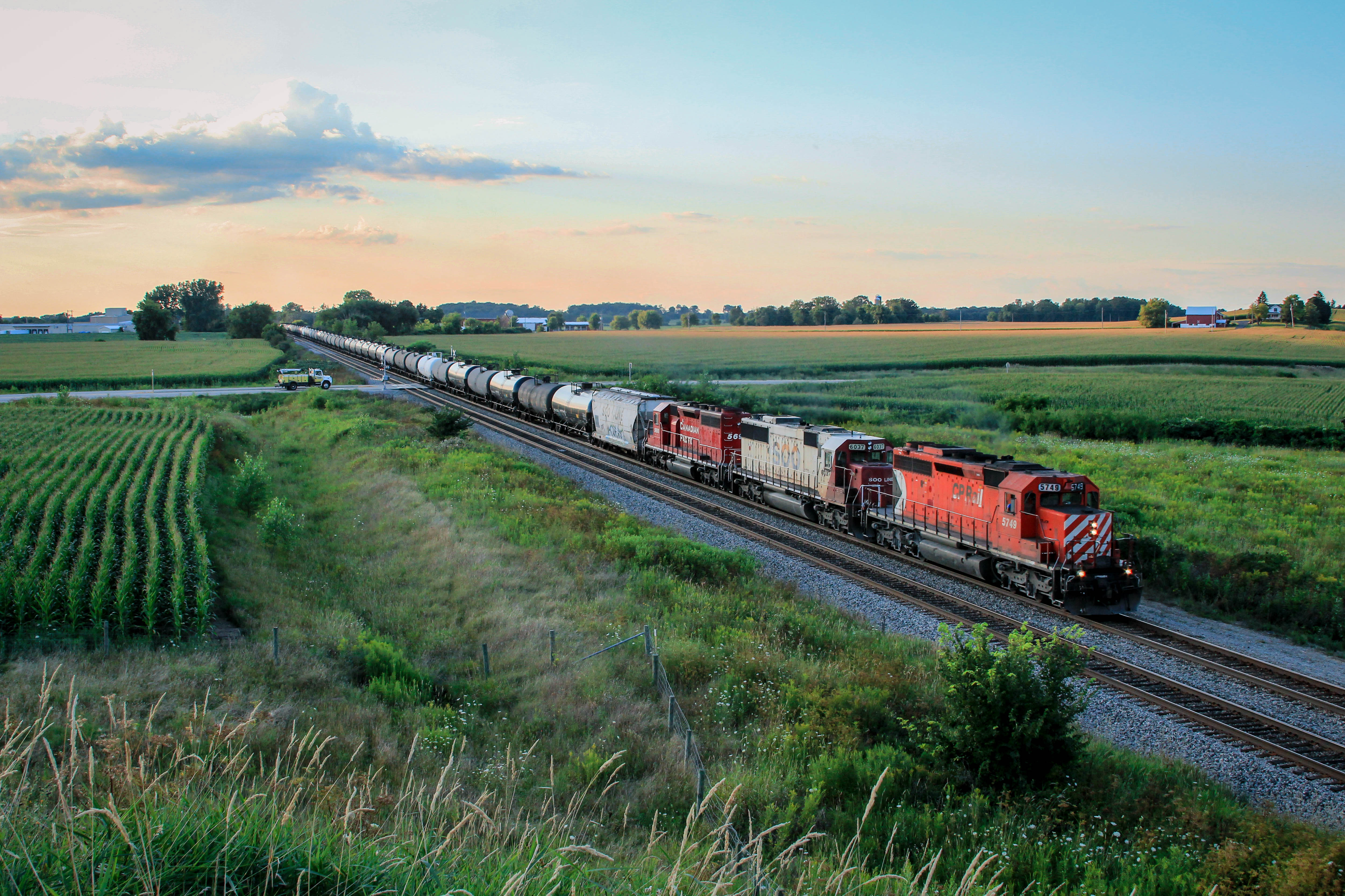
CP M/T ethanol train WB at Watertown

Animal hide truck that pulls pup

The Menu at Wedl's Burger Stand in Jefferson, Wisconsin
IMG_4144.JPG

Herring Gull Great Black-backed Gull hybrid 27 DEC 2012 Jefferson Co WI
Herring Gull Great Black-backed Gull hybrid 27 DEC 2012 Jefferson Co WI

Pine Cone

Pine Cone

The View at Johnson Creek - Johnson Creek, WI

The View at Johnson Creek - Johnson Creek, WI
Trinity with GE wind turbine base

2019-099/365 Sunset - Explored

More Flowers
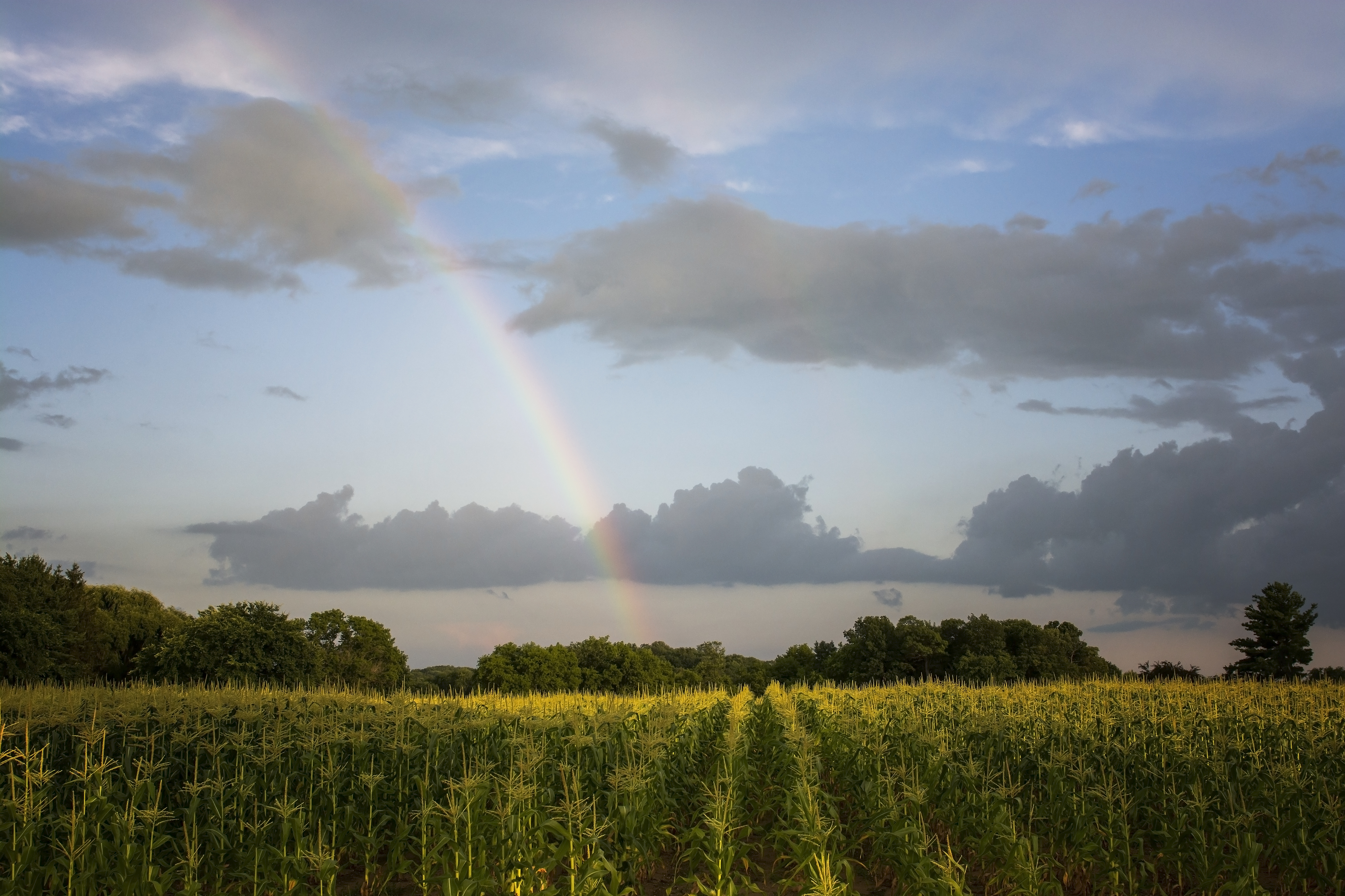
fields of gold...

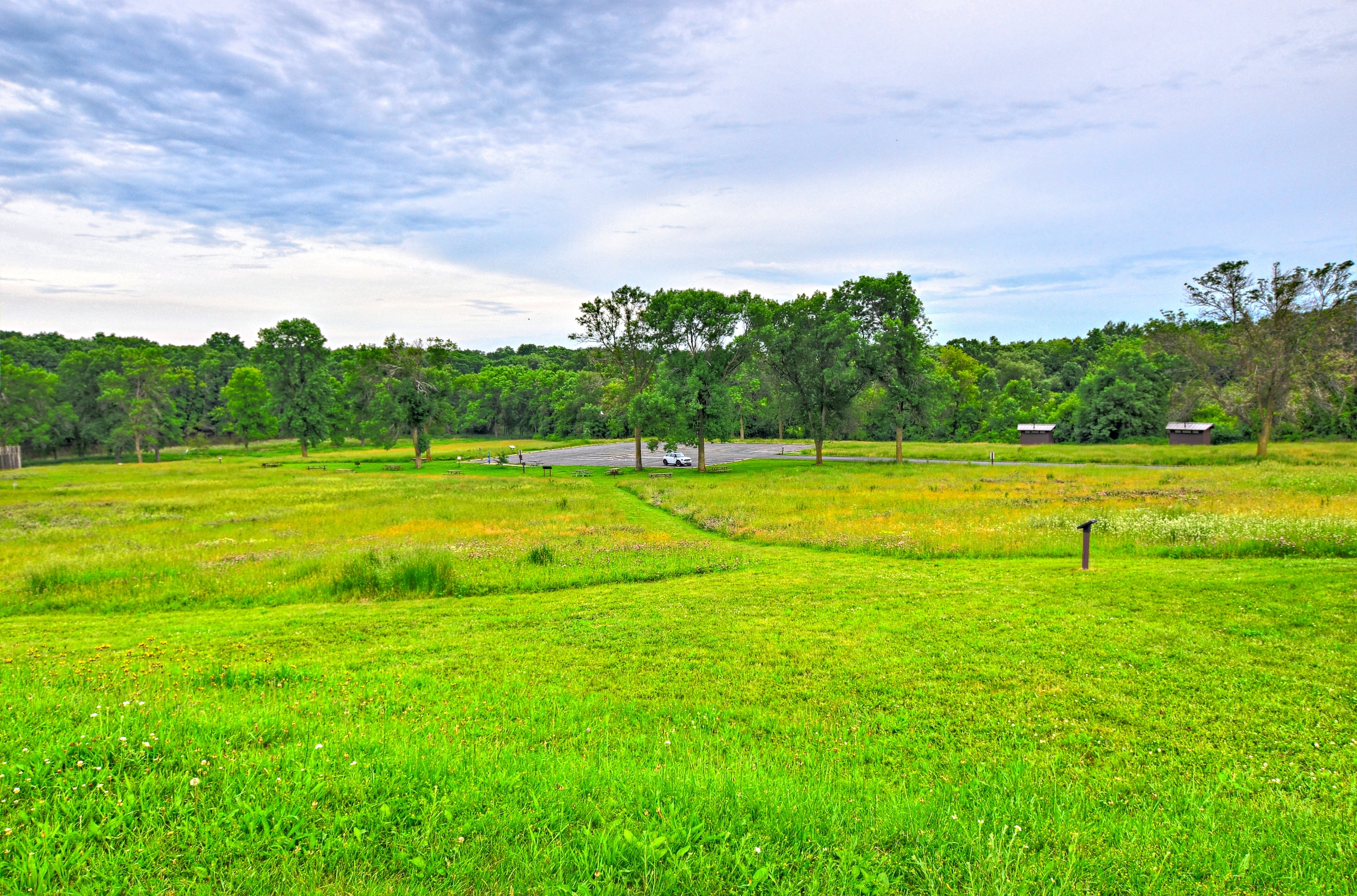
Snapper Prairie State Natural Area

Weekend Ballast Run

Crossing the Crawfish River #kimberlyreneephotography #glacialdrumlintrail #crawfishriver #wisconsin #wisconsinsummer #bridge #trail #biketrail #biking #hiking #statetrail #crossingthebridge #bridges #landscape #landscapes #landscapelovers #landscape_love
DSC_6381_2_3Enhancer ES
Oh So Close

DSC_6378_79_80Enhancer ES

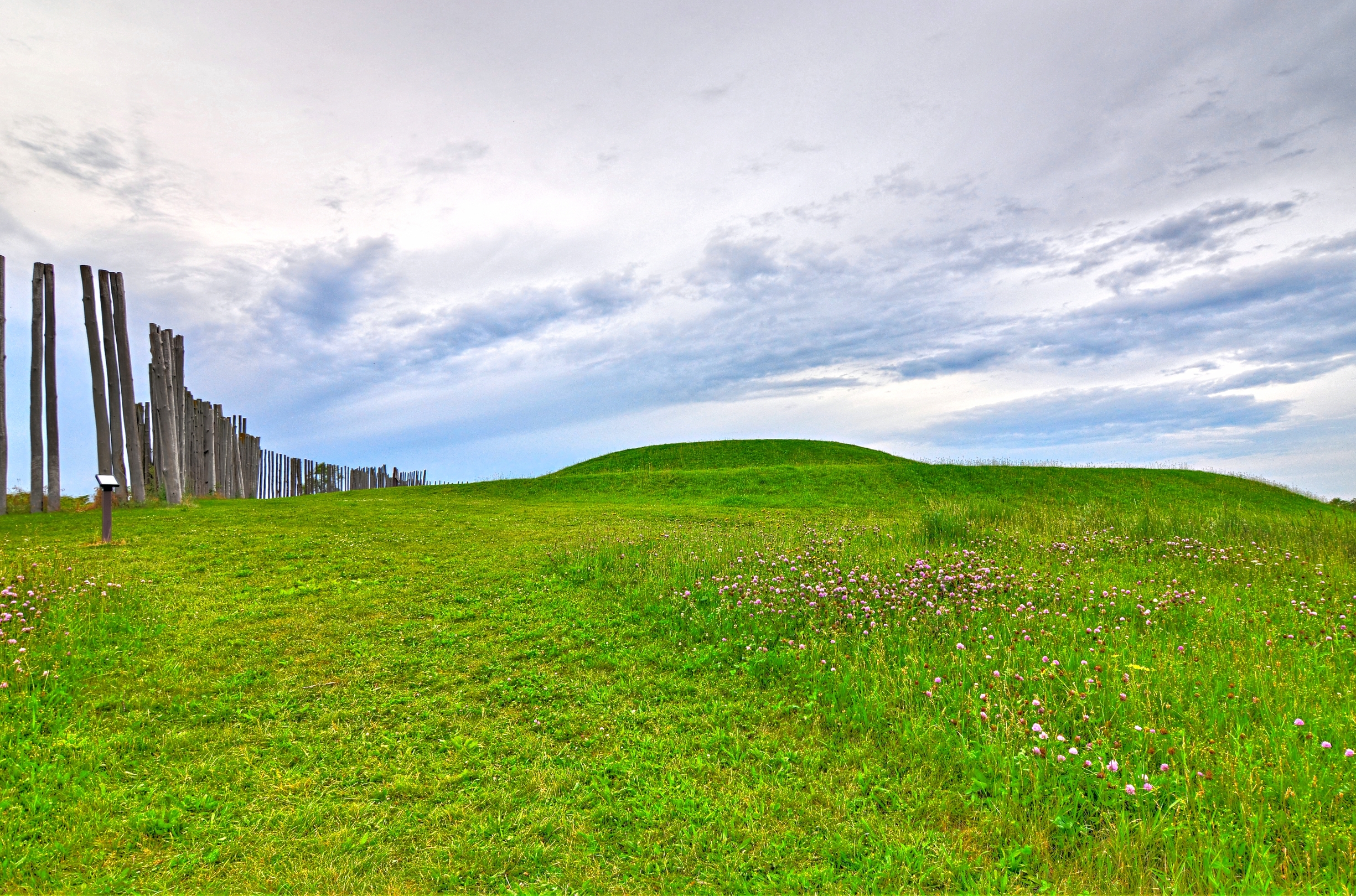
Faville Prairie State Natural Area

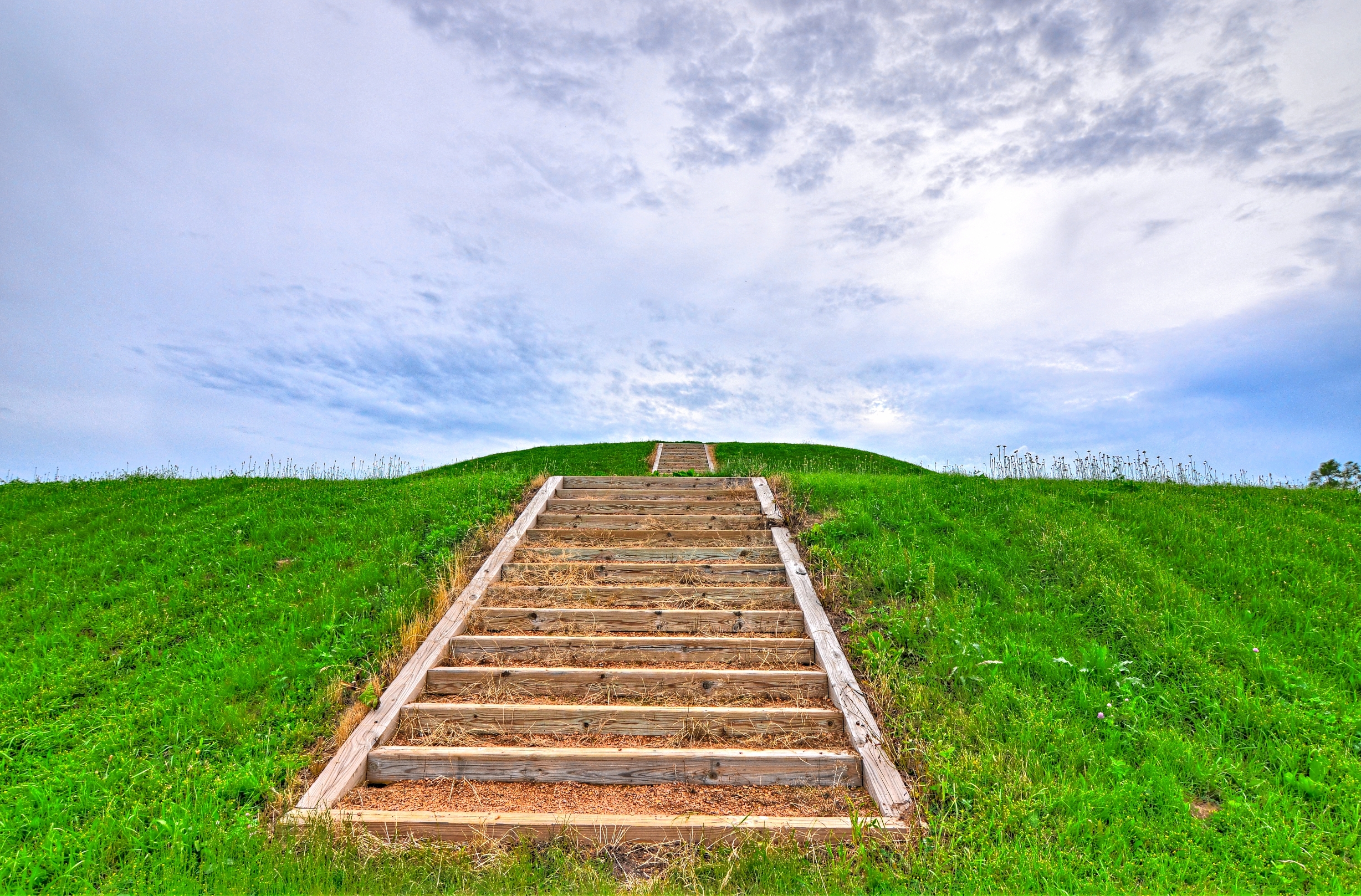
Little Mound
DSC_6396_7_8Enhancer ES

DSC_6408_09_10Enhancer ES

DSC_6390_1_2Enhancer ES

Union Soldier Statue
DSC_6387_8_9Enhancer ES

Snapper Prairie State Natural Area

Faville Prairie State Natural Area

Rock Lake at midnight-ish
My old backyard
Topographic Map of N Switzke Rd, Watertown, WI, USA
Find elevation by address:

Places near N Switzke Rd, Watertown, WI, USA:
Jefferson County
820 Oakwood Ln
405 E Water St
Watertown
Prospect Street
N157 Huberbrooks Dr
County Road L
Jefferson
Jefferson County Fair Park
N886
Dewey Road
Lebanon
N3635
W7065
Lake Mills
Lakeside Lutheran High School
Mclery Cemetery
Sullivan
96 N Main St, Fort Atkinson, WI, USA
Fort Atkinson
Recent Searches:
- Elevation of 6 Rue Jules Ferry, Beausoleil, France
- Elevation of Sattva Horizon, 4JC6+G9P, Vinayak Nagar, Kattigenahalli, Bengaluru, Karnataka, India
- Elevation of Great Brook Sports, Gold Star Hwy, Groton, CT, USA
- Elevation of 10 Mountain Laurels Dr, Nashua, NH, USA
- Elevation of 16 Gilboa Ln, Nashua, NH, USA
- Elevation of Laurel Rd, Townsend, TN, USA
- Elevation of 3 Nestling Wood Dr, Long Valley, NJ, USA
- Elevation of Ilungu, Tanzania
- Elevation of Yellow Springs Road, Yellow Springs Rd, Chester Springs, PA, USA
- Elevation of Rēzekne Municipality, Latvia