Elevation of Calvary Cemetery, Whitewater, WI, USA
Location: United States > Wisconsin > Walworth County > Whitewater >
Longitude: -88.743635
Latitude: 42.8432102
Elevation: 263m / 863feet
Barometric Pressure: 98KPa
Elevation Map:
Satellite Map:
Related Photos:
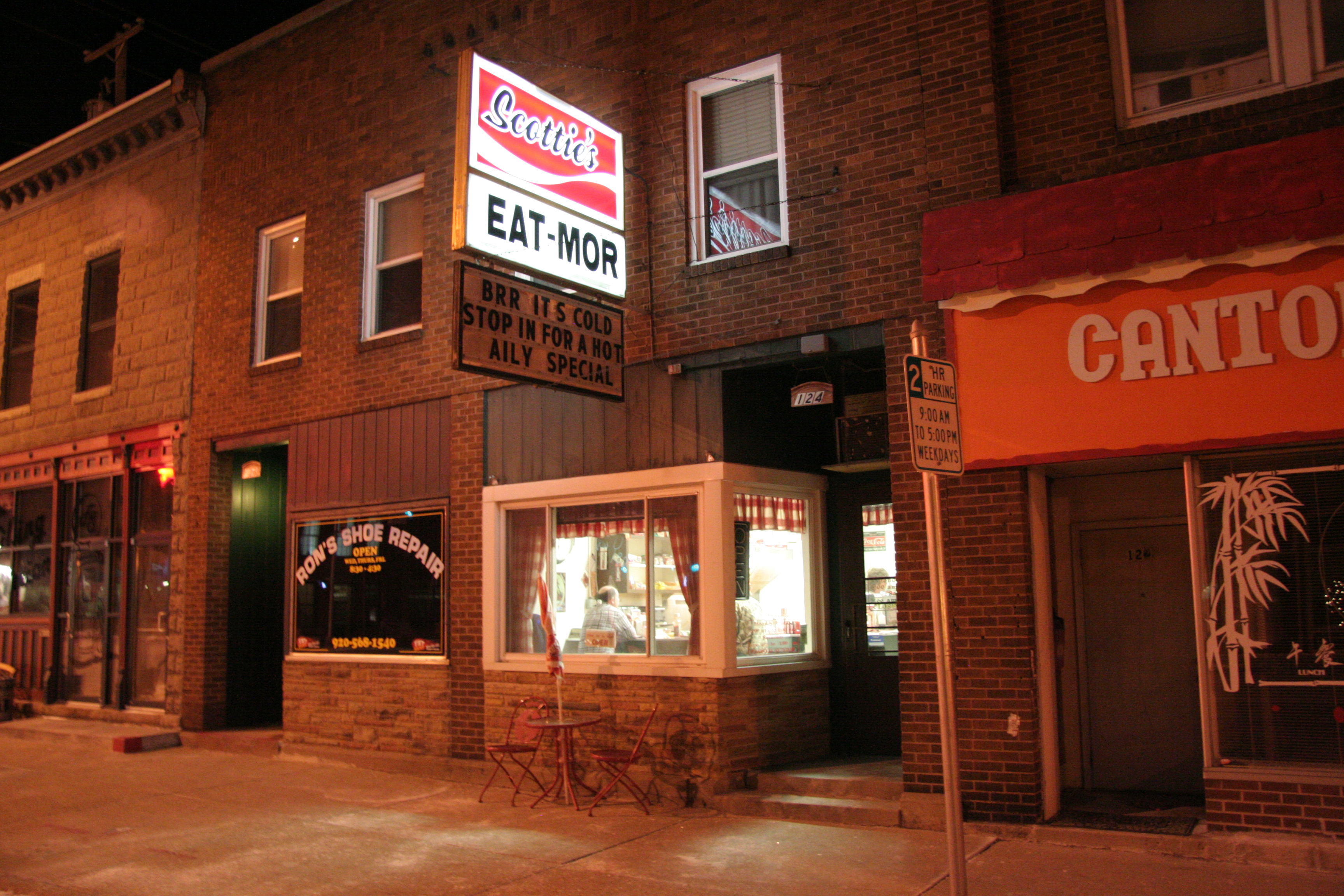
Scottie's Eat-Mor 1-2-2010
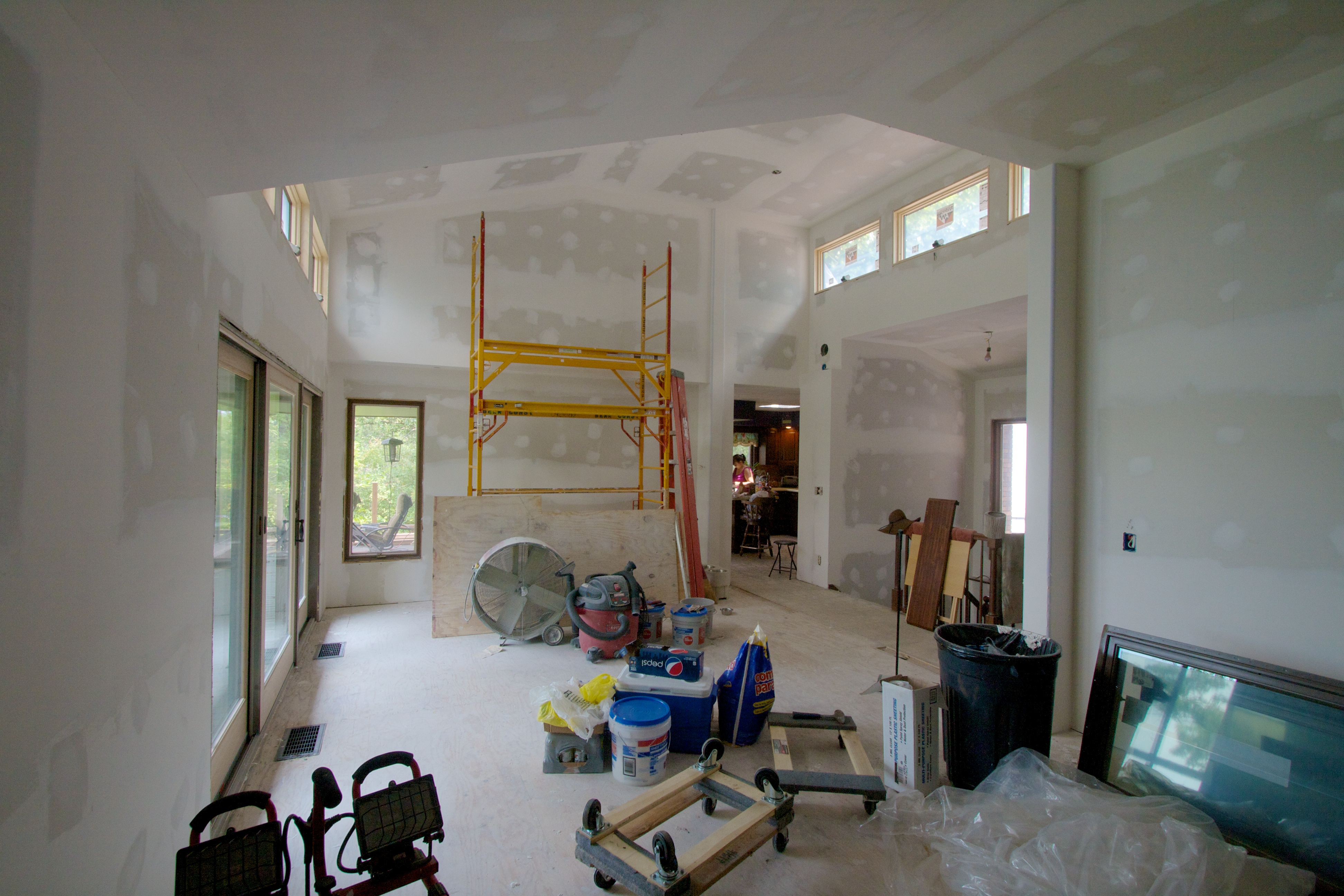
View from the fireplace
Yes, Another Whitewater Scene

From The Escape

Mystic Cloud

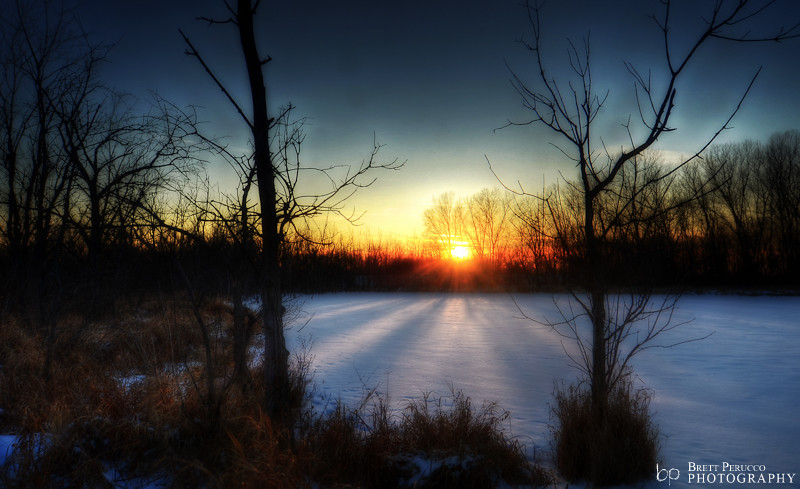
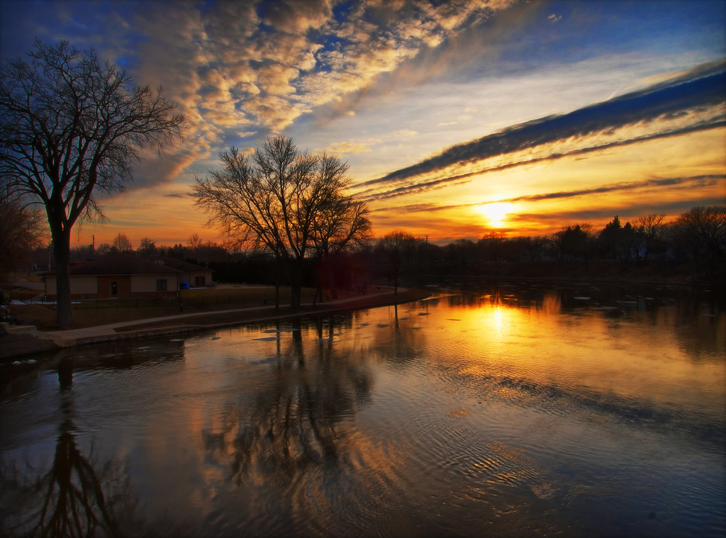
Sunset Over Pond 3

Western Exposure
94/365

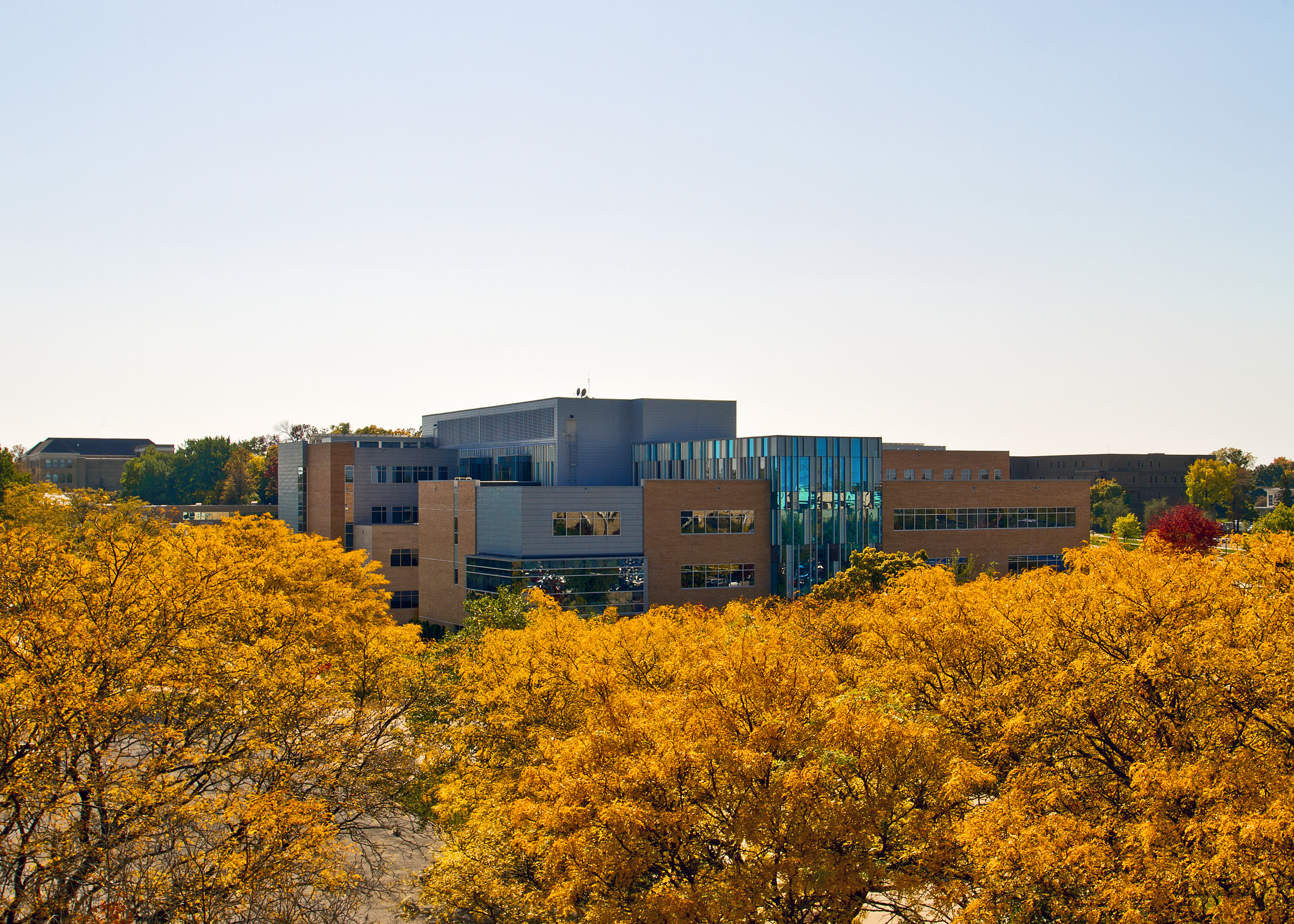
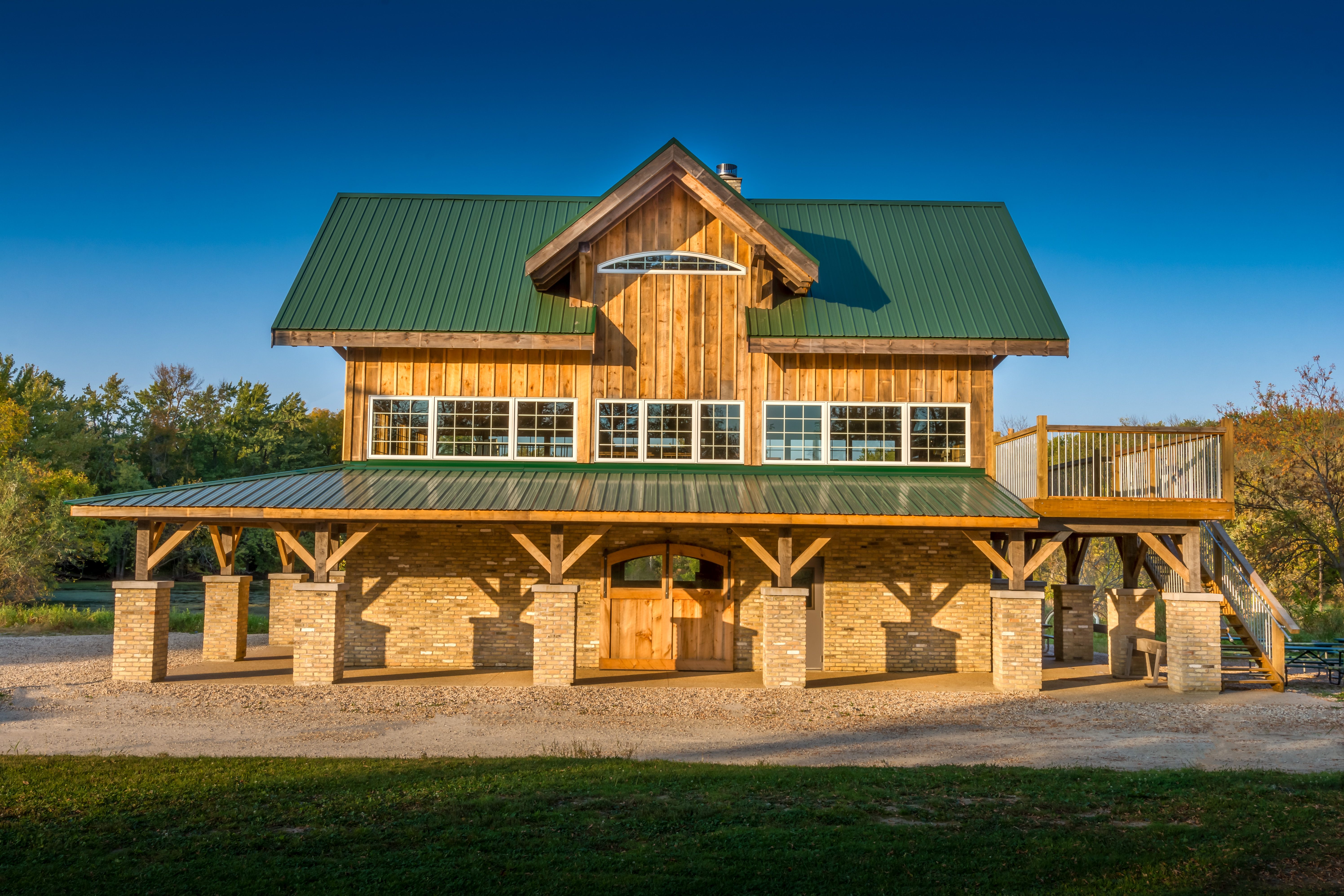
University Center

Tiger eyes
Sunset Over Pond 1
Hyland Hall

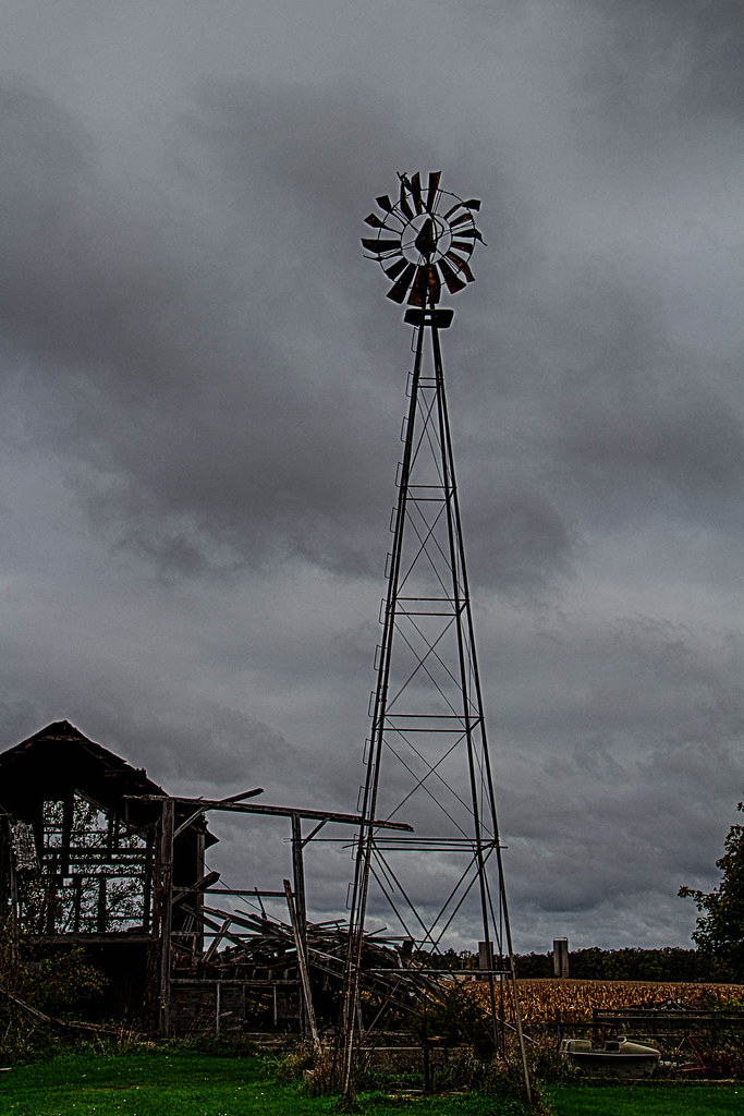
Corncrib no longer needed
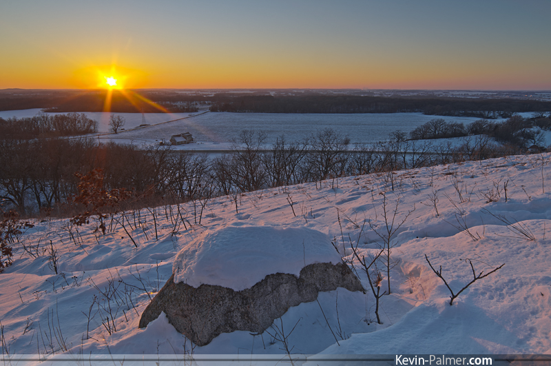
Last Light at Bald Bluff

Golden Rays
IMG_0709.JPG
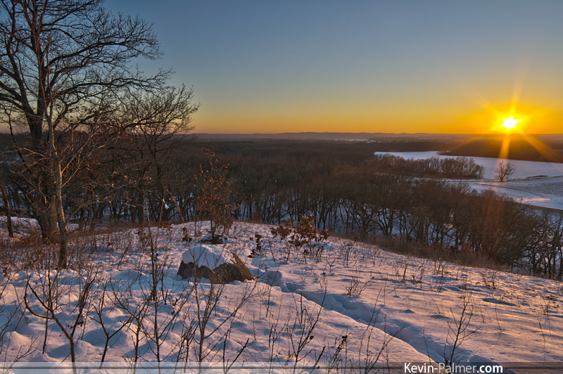
Bald Bluff Hillside
View from Bald Bluff
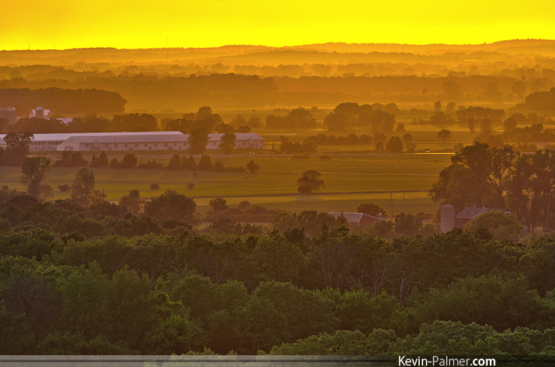
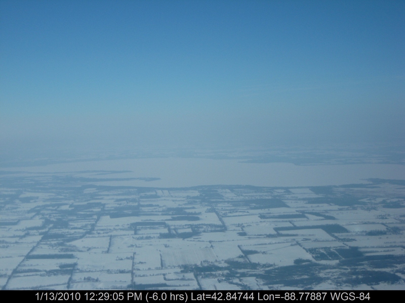
Hazy Farm Fields
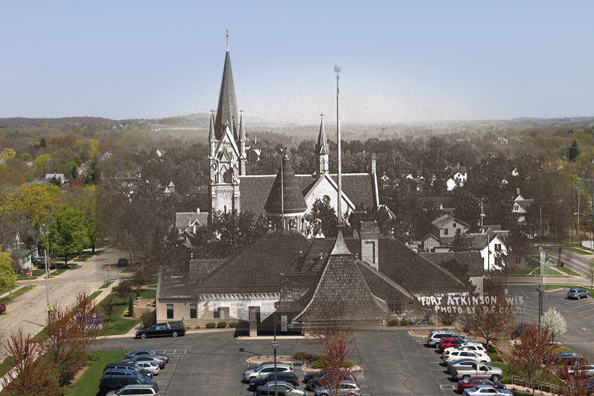
Then, Now (Part 2)
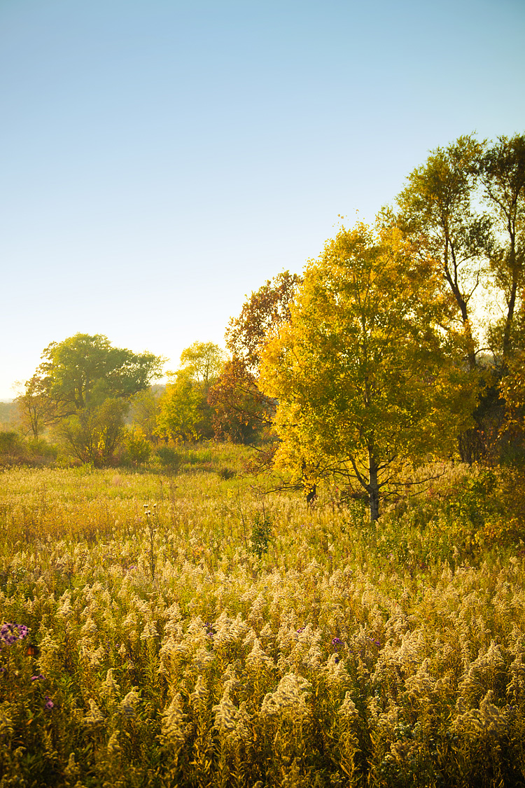
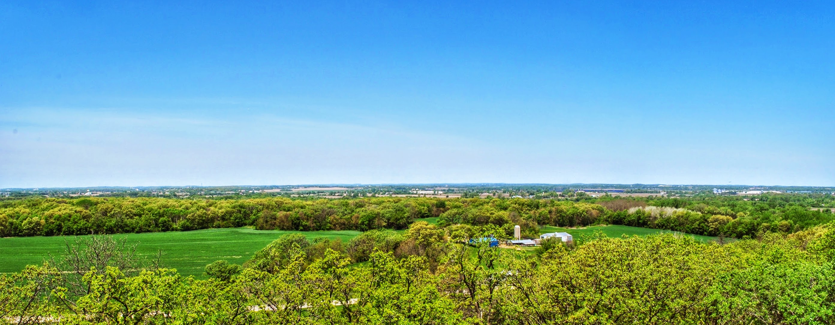
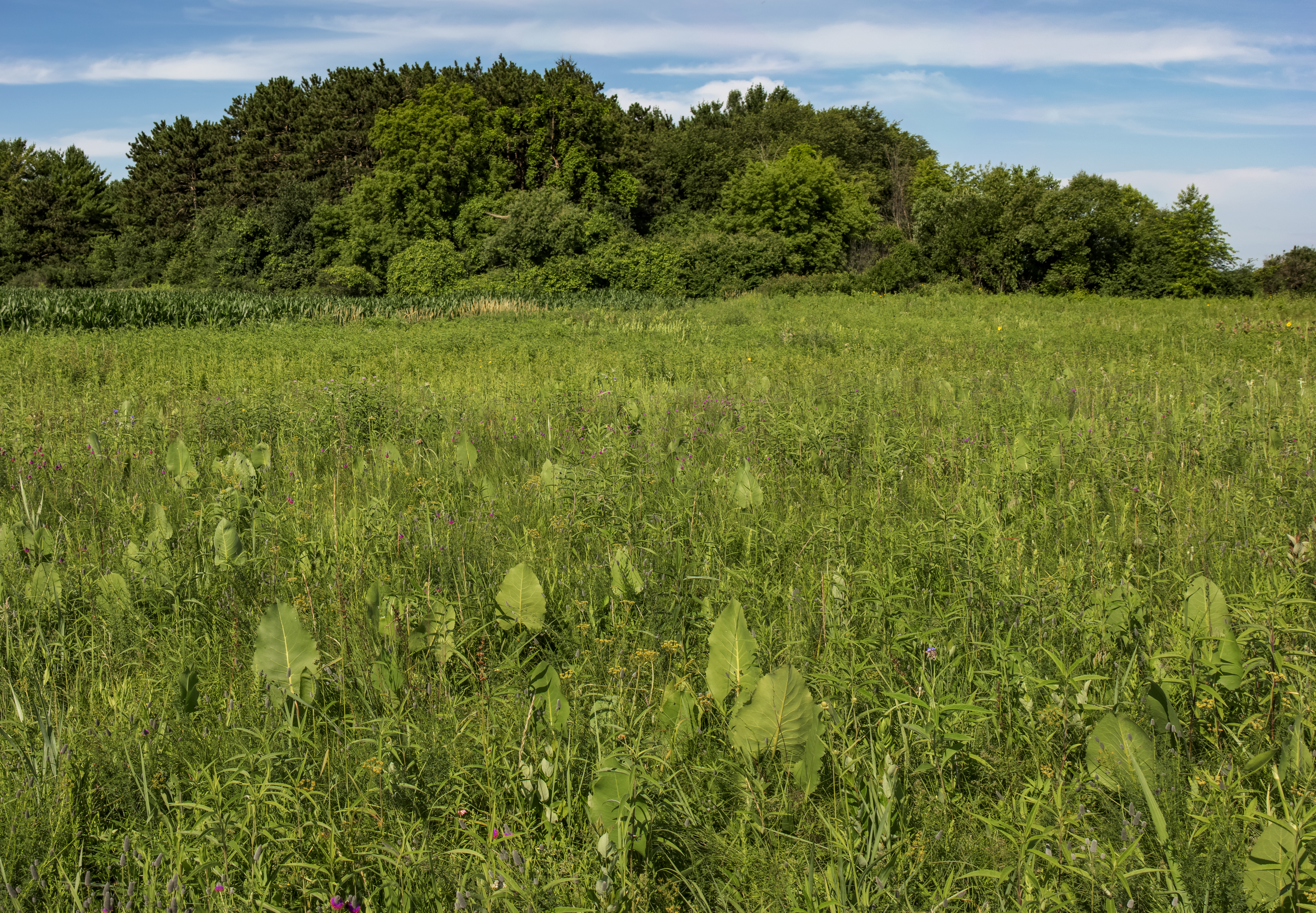
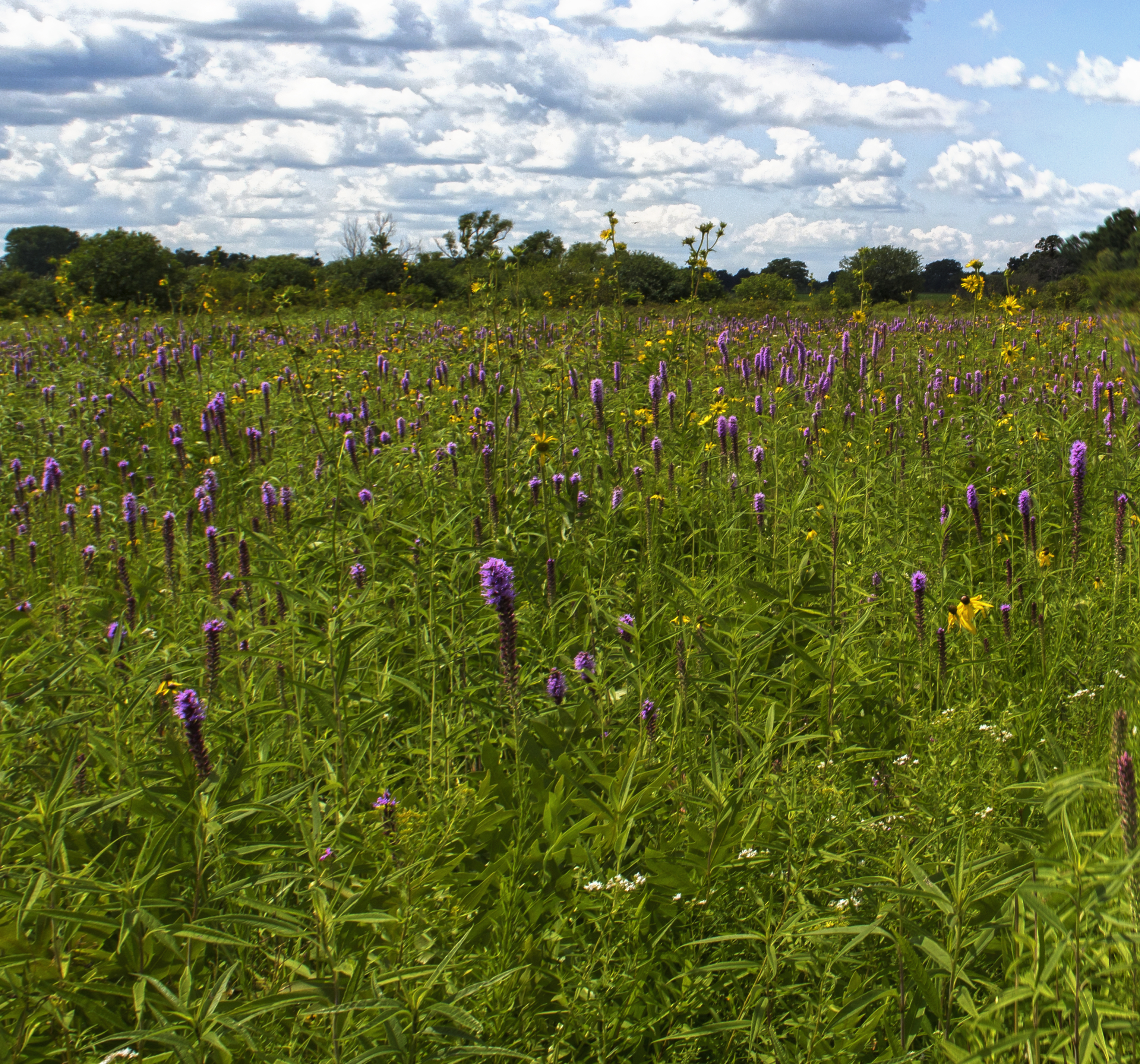
Praire Views
Fort Atkinson Sunset 1

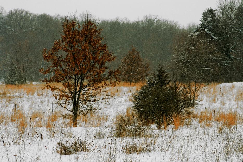
A Mild Flocking
Haumersons Pond
Another Stormy Morning
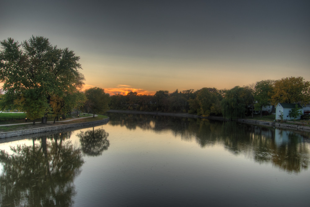
Rock River

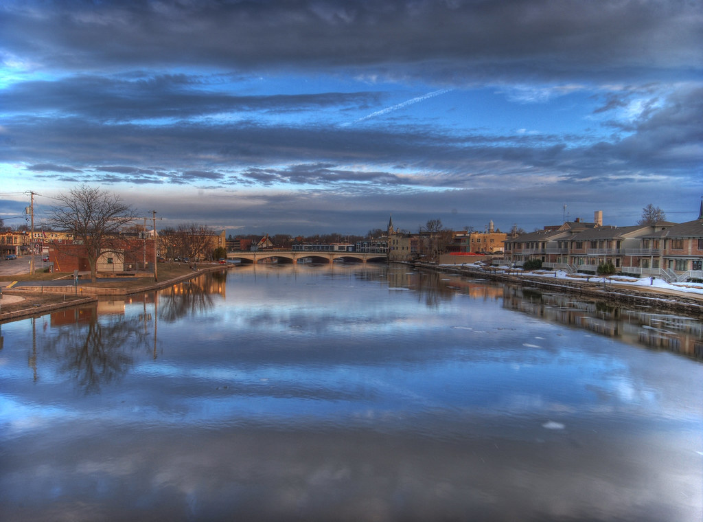
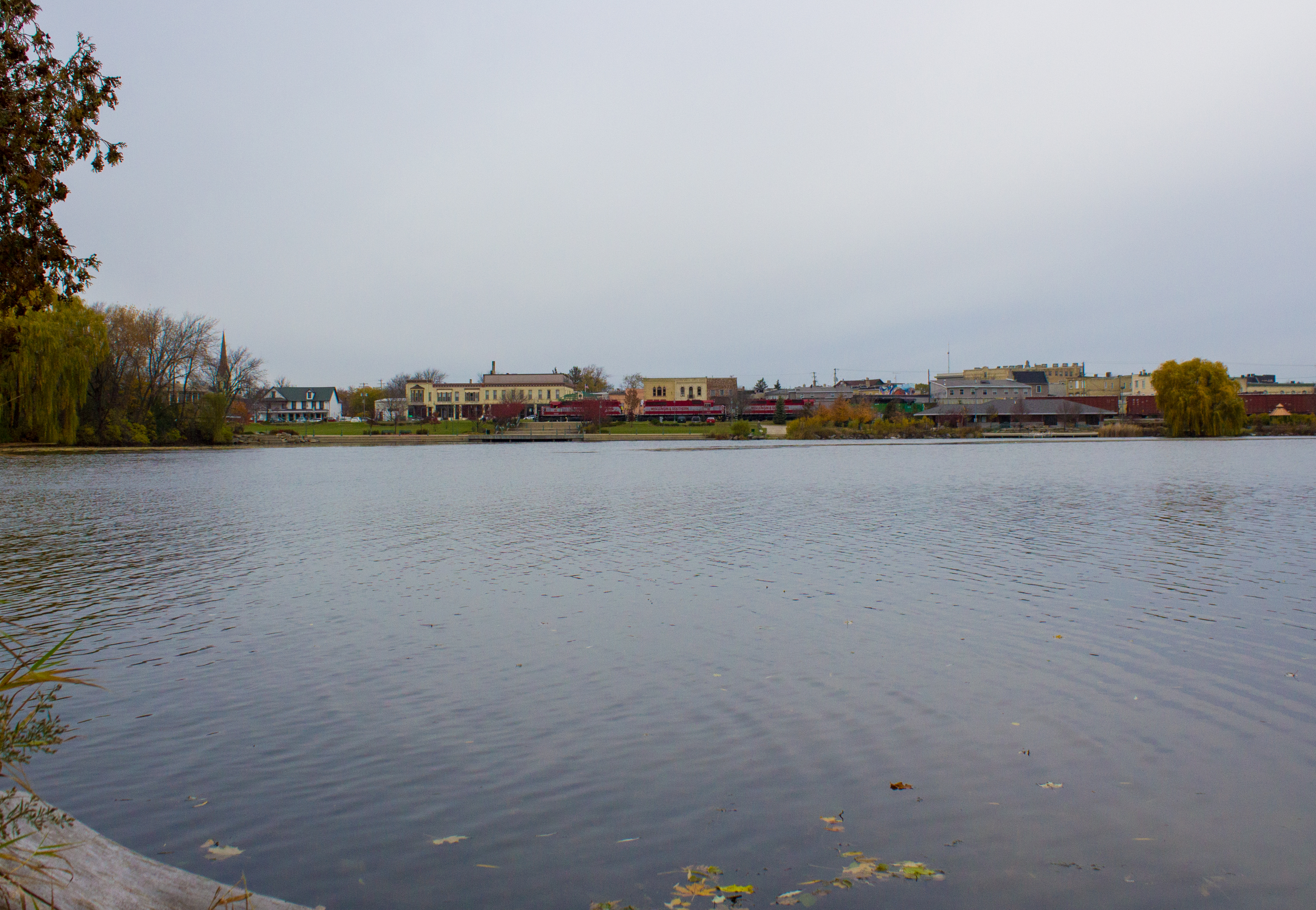
Whitewater Reflections
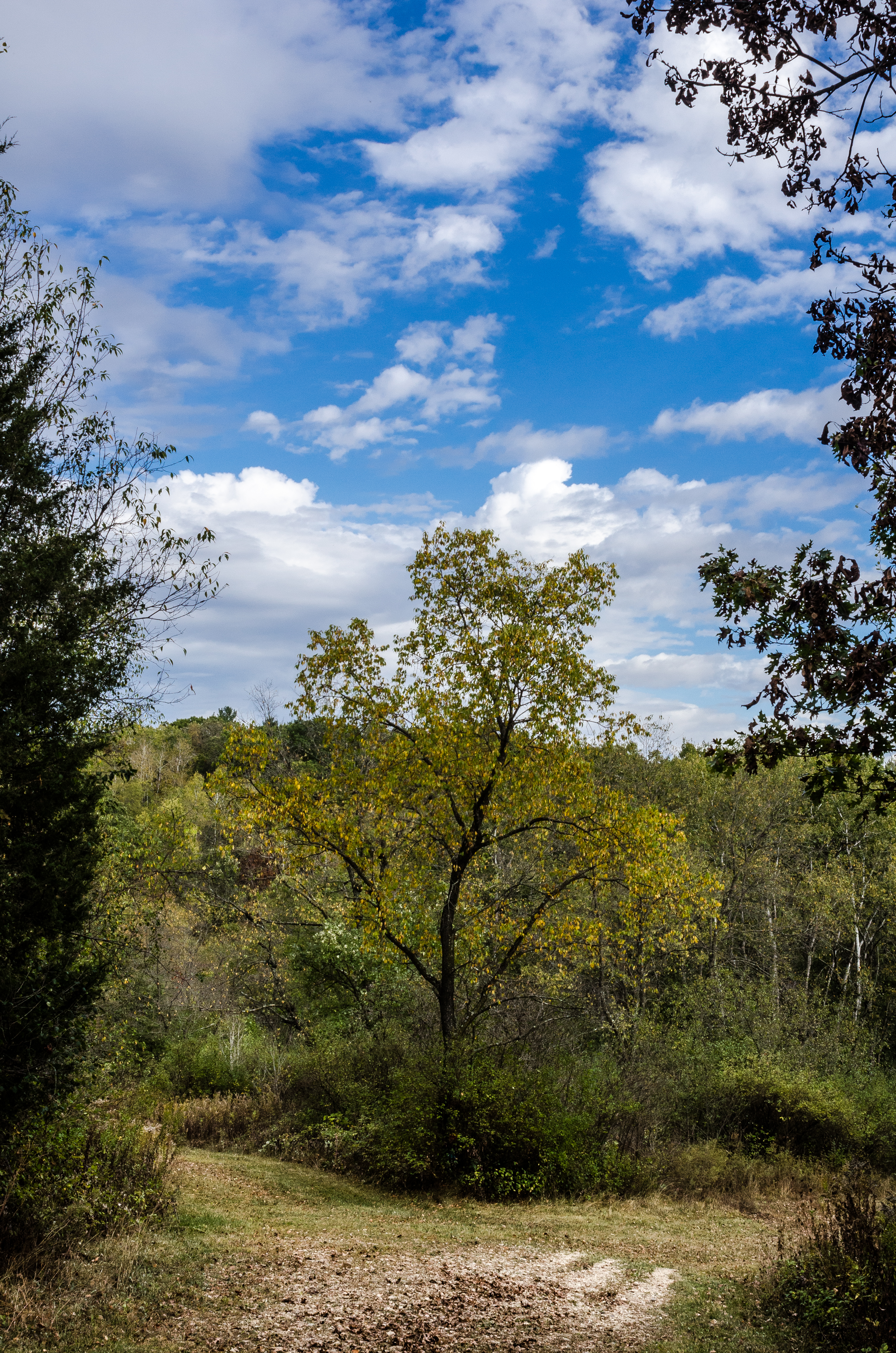
Fork_in_the_Road #forest
Kettle Moraine (South)

Bluff Creek State Natural Area
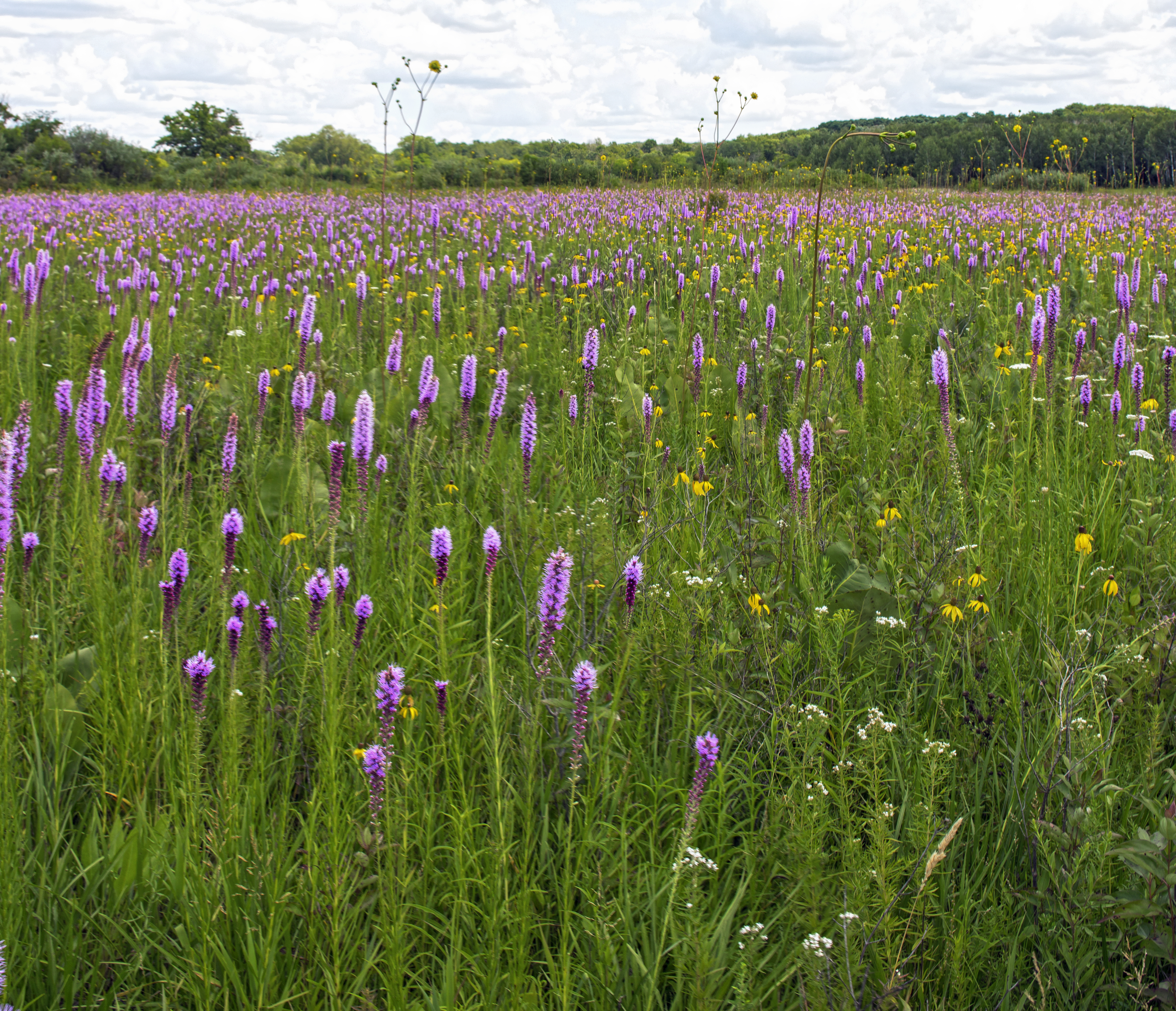
Young Prairie State Natural Area

Bluff Creek State Natural Area
Bluff Creek State Natural Area

Paint by numbers Pine Forest
Your turn...

Field of dreams

Fort Atkinson Sunset 2
Bluff Creek State Natural Area

good morning from #harmonyridge #wi
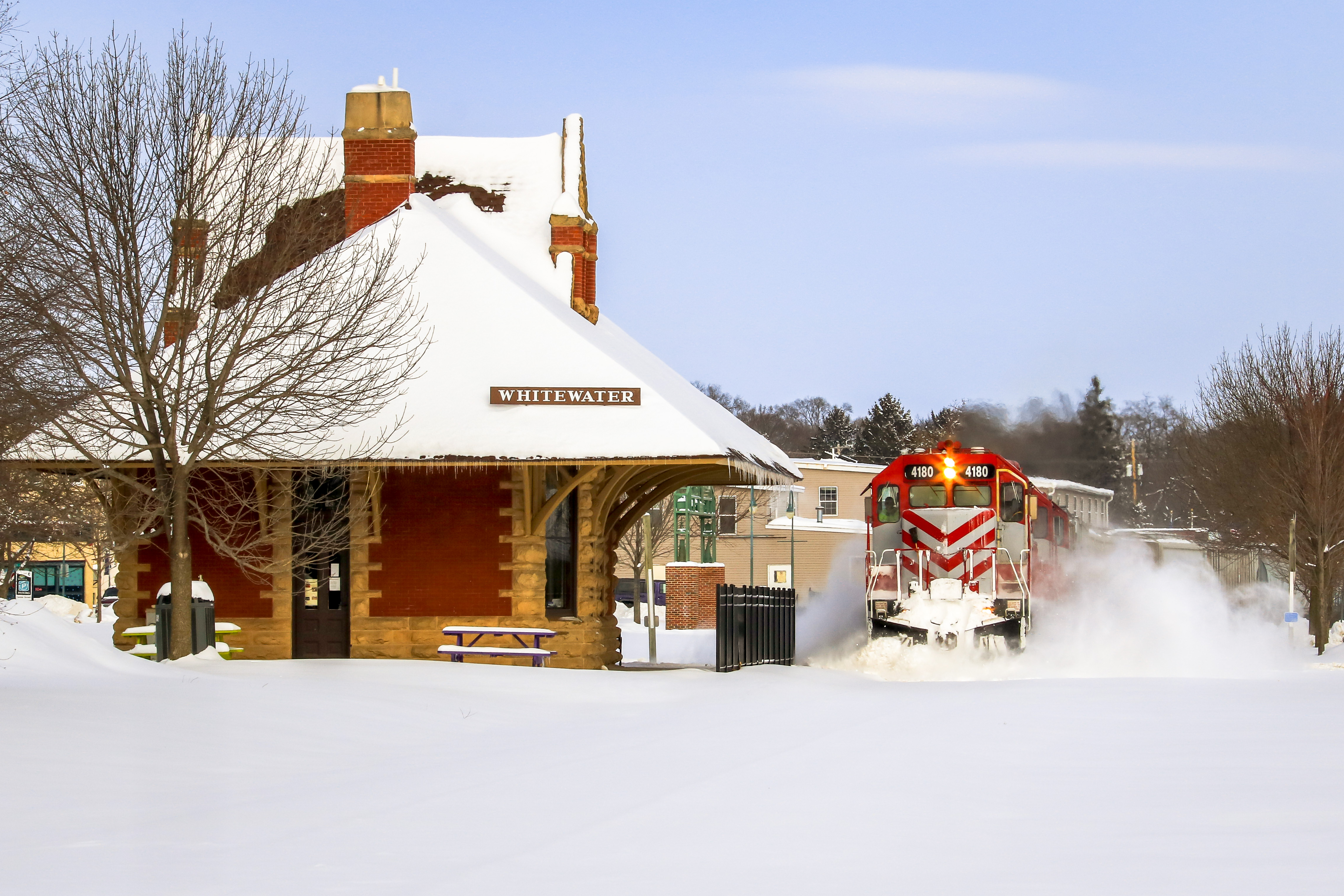
WSOR 4009
Topographic Map of Calvary Cemetery, Whitewater, WI, USA
Find elevation by address:

Places near Calvary Cemetery, Whitewater, WI, USA:
Whitewater
136a
1033 W Walworth Ave
7317 N Sturtevant Rd
W8338 Territorial Rd
Lake Lorraine Road
344 Merchants Ave
Richmond
Mclery Cemetery
Palmyra
96 N Main St, Fort Atkinson, WI, USA
Fort Atkinson
E County Rd A, Avalon, WI, USA
Johnstown
N1056
N3635
Sullivan
Jefferson
Sugar Creek
Jefferson County Fair Park
Recent Searches:
- Elevation of Côte-des-Neiges, Montreal, QC H4A 3J6, Canada
- Elevation of Bobcat Dr, Helena, MT, USA
- Elevation of Zu den Ihlowbergen, Althüttendorf, Germany
- Elevation of Badaber, Peshawar, Khyber Pakhtunkhwa, Pakistan
- Elevation of SE Heron Loop, Lincoln City, OR, USA
- Elevation of Slanický ostrov, 01 Námestovo, Slovakia
- Elevation of Spaceport America, Co Rd A, Truth or Consequences, NM, USA
- Elevation of Warwick, RI, USA
- Elevation of Fern Rd, Whitmore, CA, USA
- Elevation of 62 Abbey St, Marshfield, MA, USA