Elevation of Palmer Road, Palmer Rd, Meigs, GA, USA
Location: United States > Georgia > Thomas County > Meigs >
Longitude: -84.083042
Latitude: 31.0684393
Elevation: 101m / 331feet
Barometric Pressure: 100KPa
Elevation Map:
Satellite Map:
Related Photos:
Wonderful view

Marshall's Corner Store

Post Office 31779 (Pelham, Georgia)

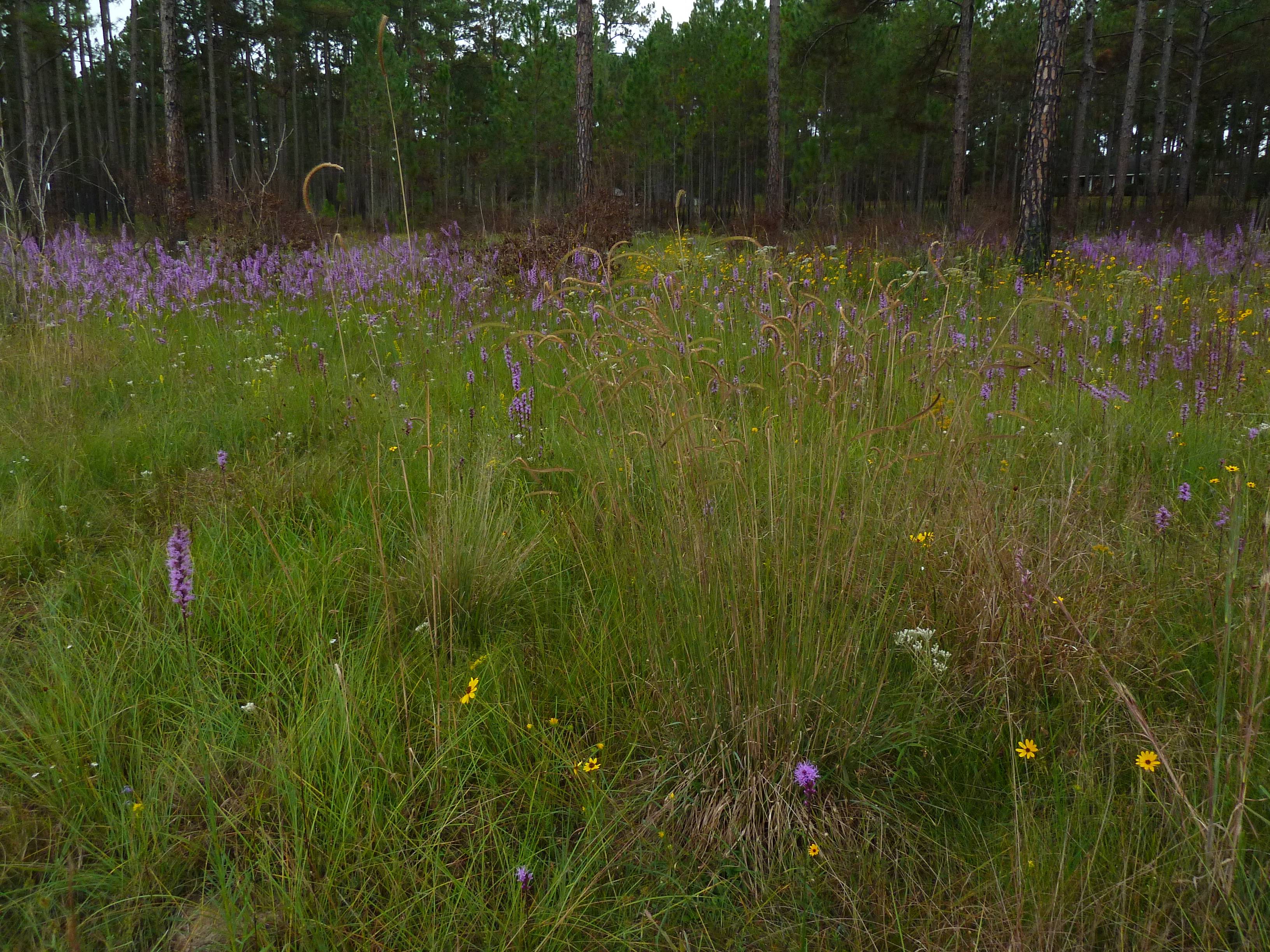
Blazing star (Liatris sp)

"Pelham Landscape" Mural Pelham GA (1)

Thomas County, Ga.

"Pelham Landscape" Mural Pelham GA (2)

Blazing star (Liatris sp)

IMG_4777.jpg

IMG_4778.jpg

Thomas County Countryside-3

IMG_4768.jpg

Thomas County-3
Topographic Map of Palmer Road, Palmer Rd, Meigs, GA, USA
Find elevation by address:

Places near Palmer Road, Palmer Rd, Meigs, GA, USA:
Meigs
GA-3 Alt, Meigs, GA, USA
1325 Lee White Rd
Pelham
John Collins Rd, Pelham, GA, USA
6803 Lower Meigs Rd
Ochlocknee
Ellen Street
Ellen Street
2317 Mitchell County Line Rd
Georgia 111
Hinsonton Rd, Meigs, GA, USA
3520 Bold Springs Rd
GA-93, Cairo, GA, USA
200 Scites Ln
604 Ga-93
Hartsfield
Mitchell County
4767 Ga-37
N Barnes St, Sale City, GA, USA
Recent Searches:
- Elevation of Polzela, Slovenia
- Elevation of Gorod Kislovodsk, Stavropol Krai, Russia
- Elevation of Kislovodsk, Stavropol Krai, Russia
- Elevation of Eagle Stone Drive, Eagle Stone Dr, The Preserve at Corkscrew, FL, USA
- Elevation of Formby Ct, Myrtle Beach, SC, USA
- Elevation of Hobbyhorse Ct, Dover, DE, USA
- Elevation of Horseshoe Ln, Dahlonega, GA, USA
- Elevation of Village Point Dr, Daphne, AL, USA
- Elevation map of Kabardino-Balkarian Republic, Russia
- Elevation of Tyrnyauz, Kabardino-Balkarian Republic, Russia