Elevation of Meigs, GA, USA
Location: United States > Georgia > Thomas County >
Longitude: -84.089065
Latitude: 31.0724085
Elevation: 106m / 348feet
Barometric Pressure: 100KPa
Elevation Map:
Satellite Map:
Related Photos:
Wonderful view

IMG_4778.jpg

Marshall's Corner Store

Post Office 31779 (Pelham, Georgia)

Pelham GA (Mural) 1

Thomas County Countryside-3

IMG_4777.jpg

Thomas County, Ga.

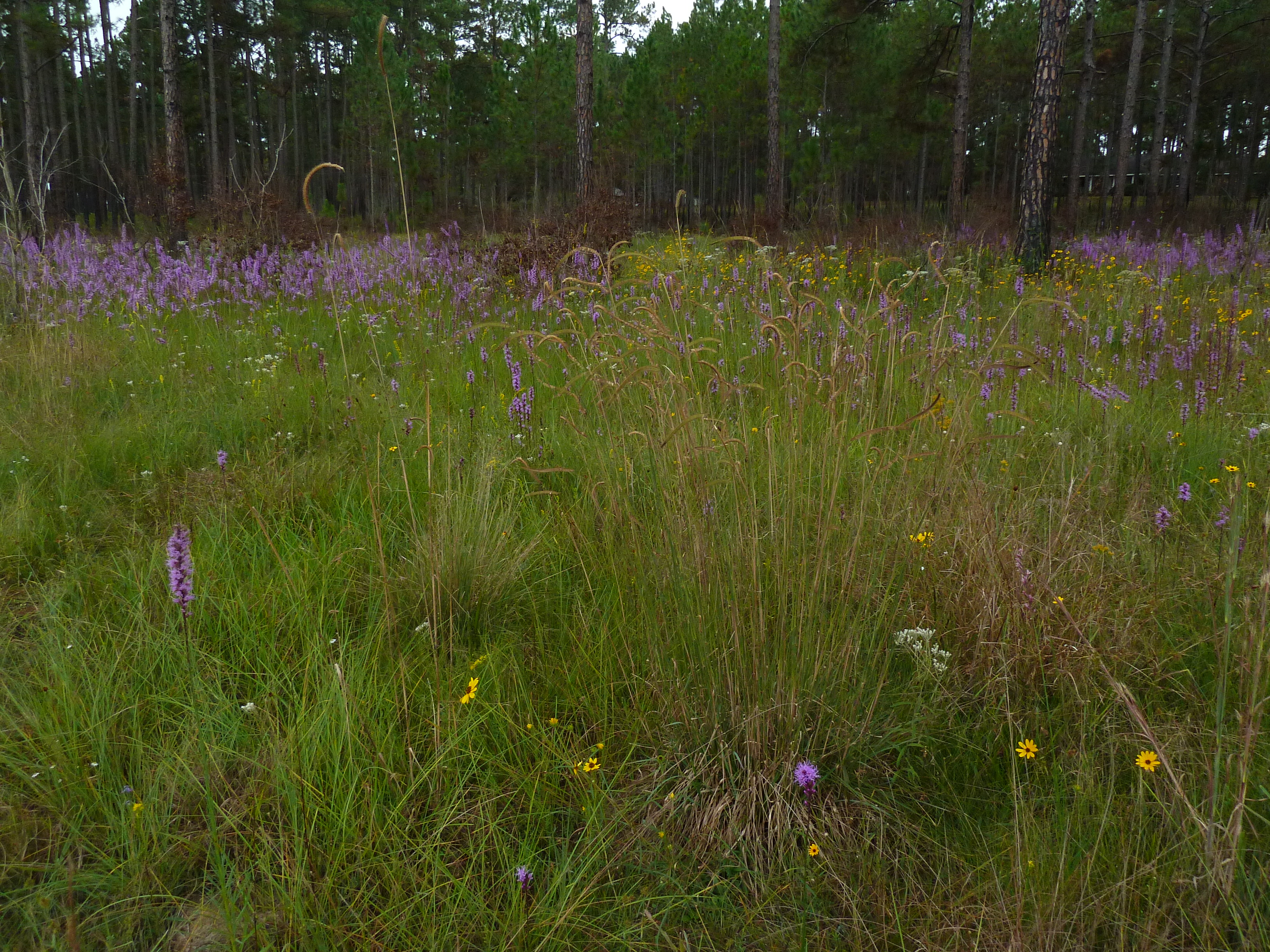
Blazing star (Liatris sp)

Blazing star (Liatris sp)

IMG_4768.jpg
Topographic Map of Meigs, GA, USA
Find elevation by address:

Places in Meigs, GA, USA:
Places near Meigs, GA, USA:
Palmer Road
GA-3 Alt, Meigs, GA, USA
1325 Lee White Rd
Pelham
John Collins Rd, Pelham, GA, USA
6803 Lower Meigs Rd
Ochlocknee
Ellen Street
Ellen Street
2317 Mitchell County Line Rd
Georgia 111
Hinsonton Rd, Meigs, GA, USA
3520 Bold Springs Rd
GA-93, Cairo, GA, USA
604 Ga-93
200 Scites Ln
Mitchell County
4767 Ga-37
Hartsfield
37 W Broad St, Camilla, GA, USA
Recent Searches:
- Elevation of NY-, Friendship, NY, USA
- Elevation of 64 Danakas Dr, Winnipeg, MB R2C 5N7, Canada
- Elevation of 4 Vale Rd, Sheffield S3 9QX, UK
- Elevation of Keene Point Drive, Keene Point Dr, Grant, AL, USA
- Elevation of State St, Zanesville, OH, USA
- Elevation of Austin Stone Dr, Haslet, TX, USA
- Elevation of Bydgoszcz, Poland
- Elevation of Bydgoszcz, Poland
- Elevation of Calais Dr, Del Mar, CA, USA
- Elevation of Placer Mine Ln, West Jordan, UT, USA