Elevation of Thomas County, GA, USA
Location: United States > Georgia >
Longitude: -83.847301
Latitude: 30.8417409
Elevation: 61m / 200feet
Barometric Pressure: 101KPa
Elevation Map:
Satellite Map:
Related Photos:
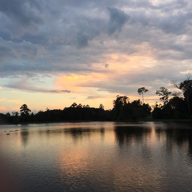
Another amazing view walking around our neighbourhood park, #LakeCherokee #Thomasville #GA #sunset #Lake #exercise #getfit

Pulled into work yesterday and was greeted by this view. #sunrise #clouds #wx #iPhone
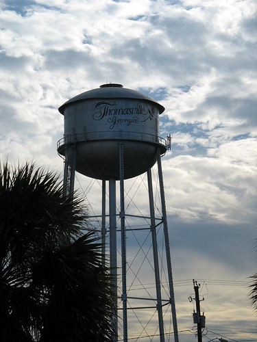
Thomasville Water Tower
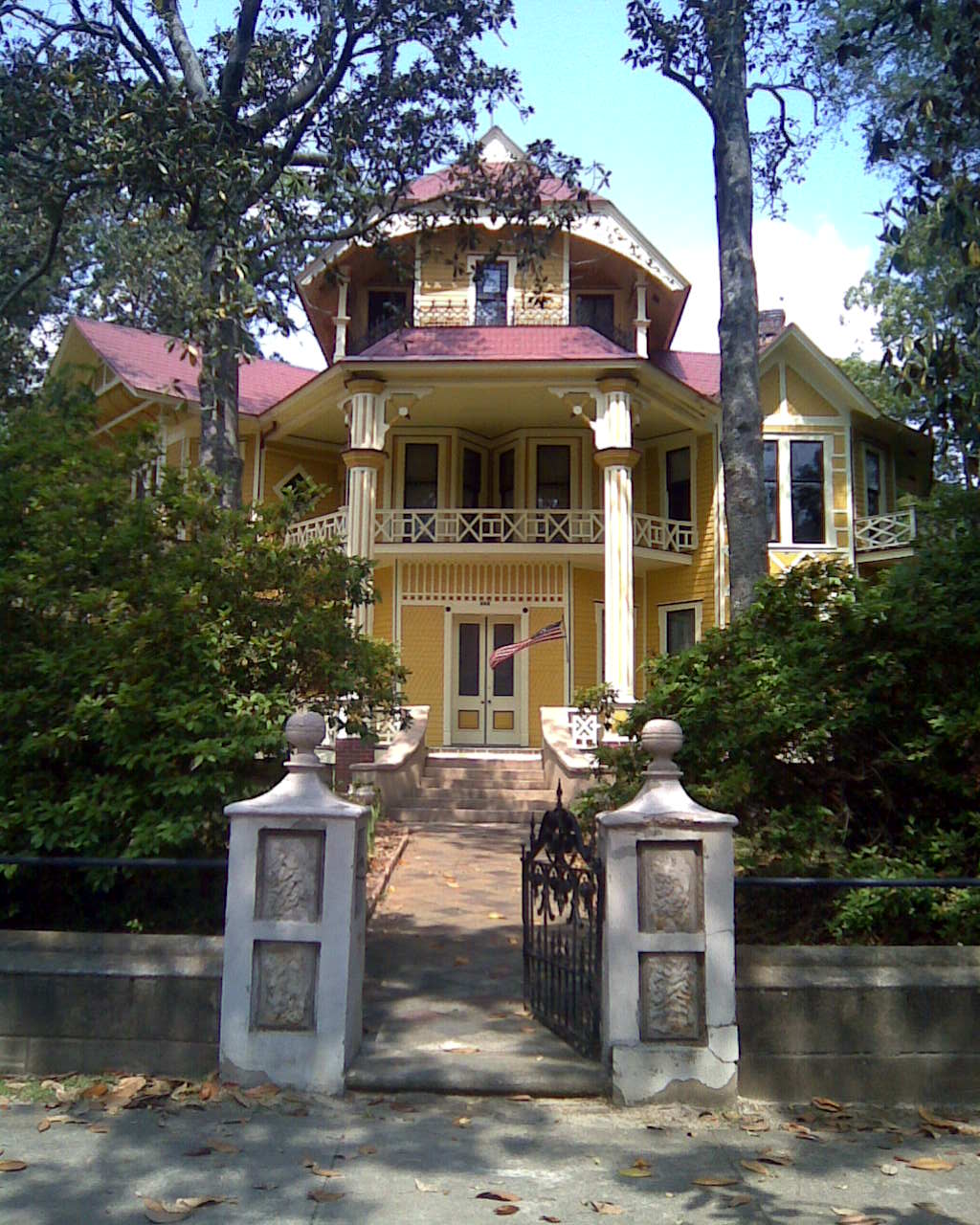
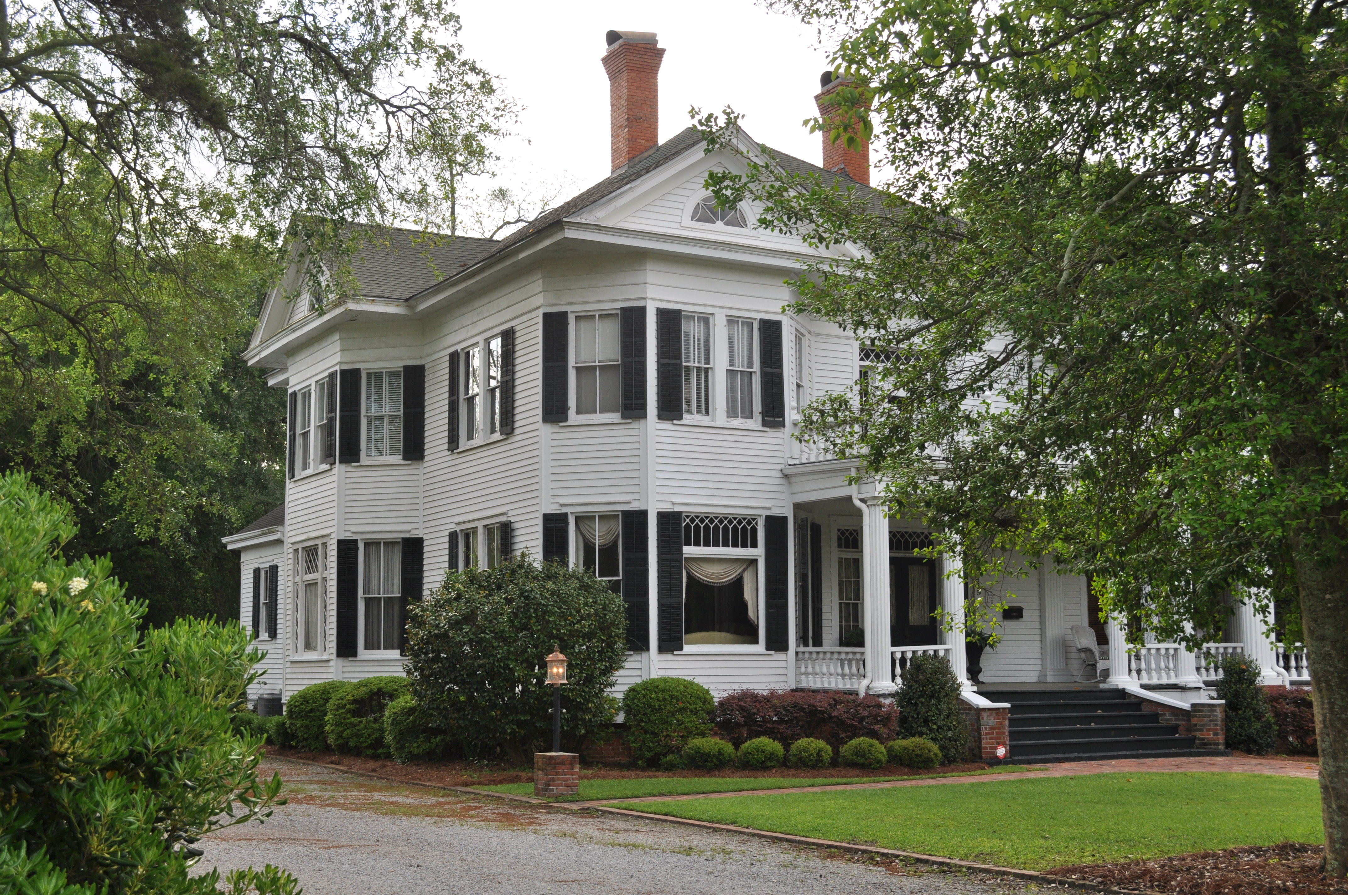
Lapham-Patterson House Street View
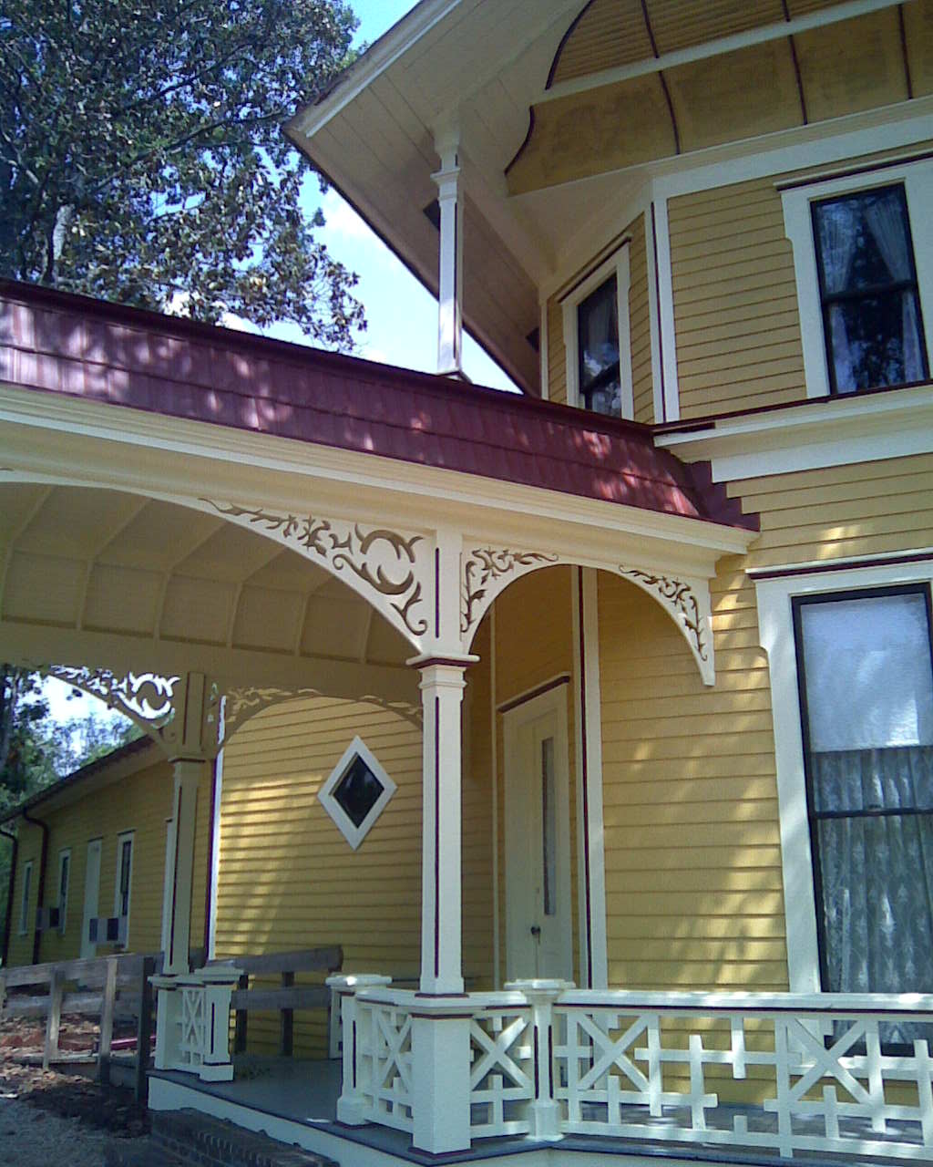
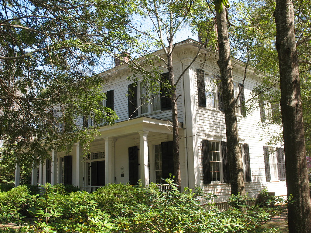
Lapham-Patterson House Side View
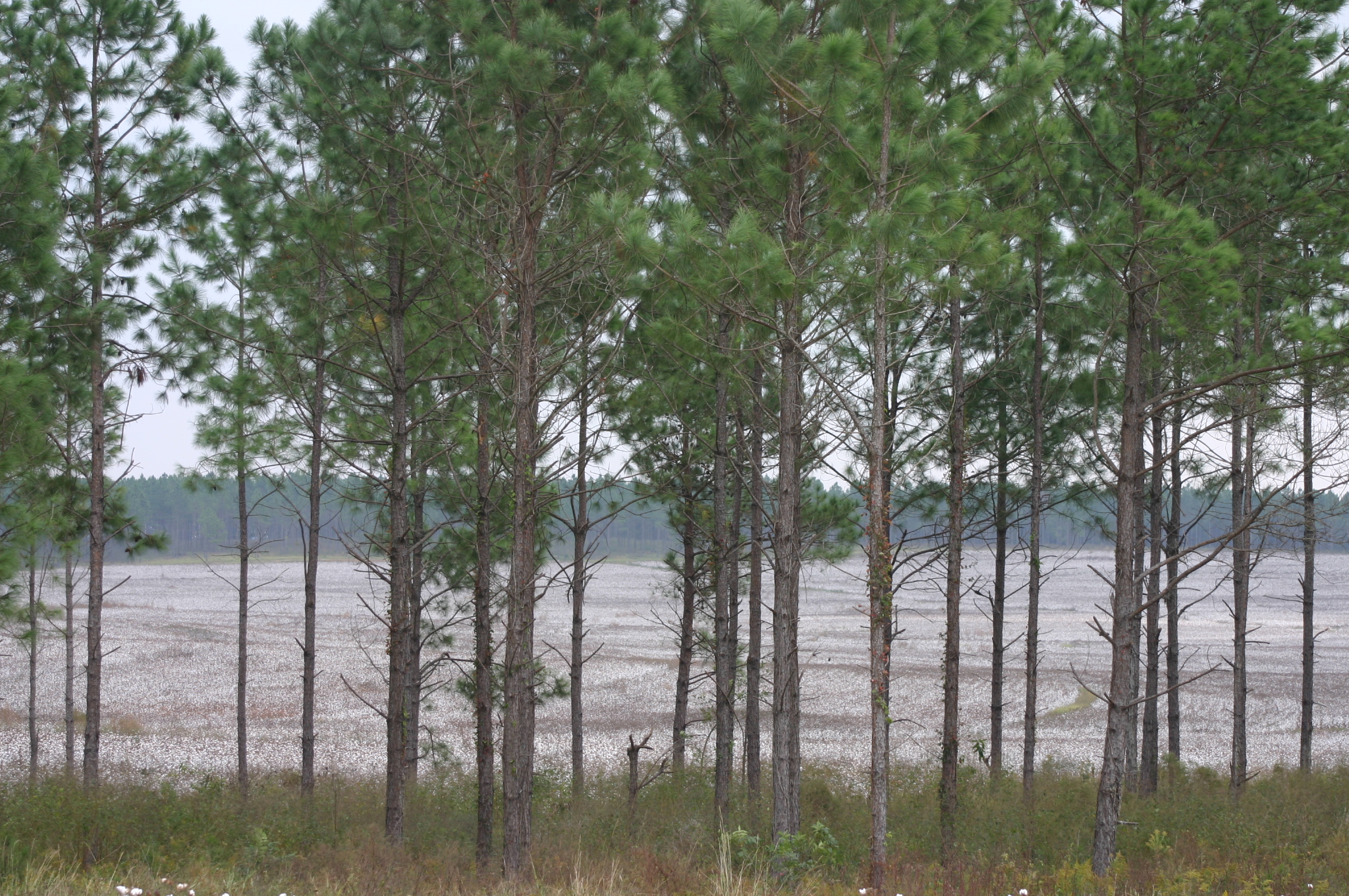
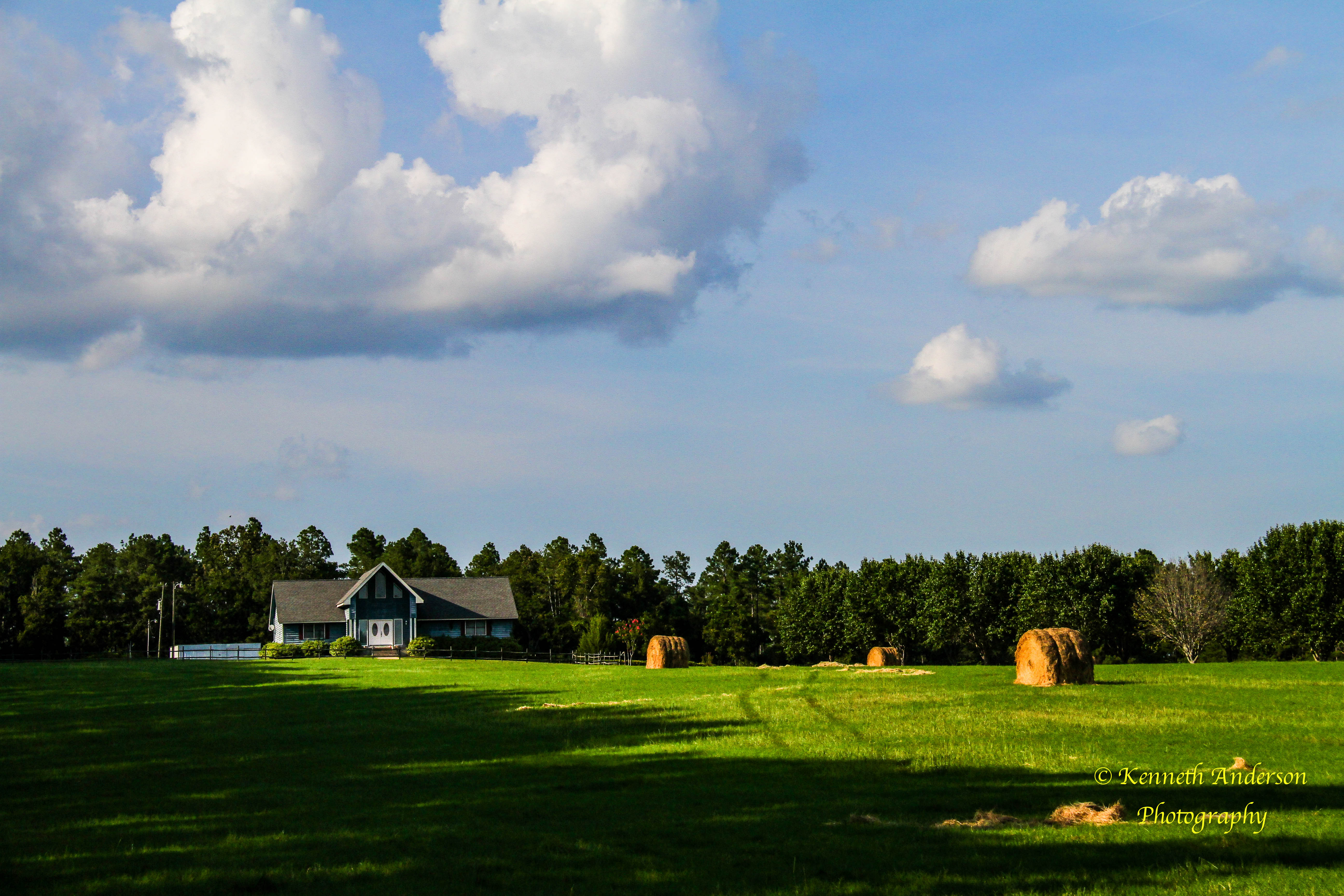
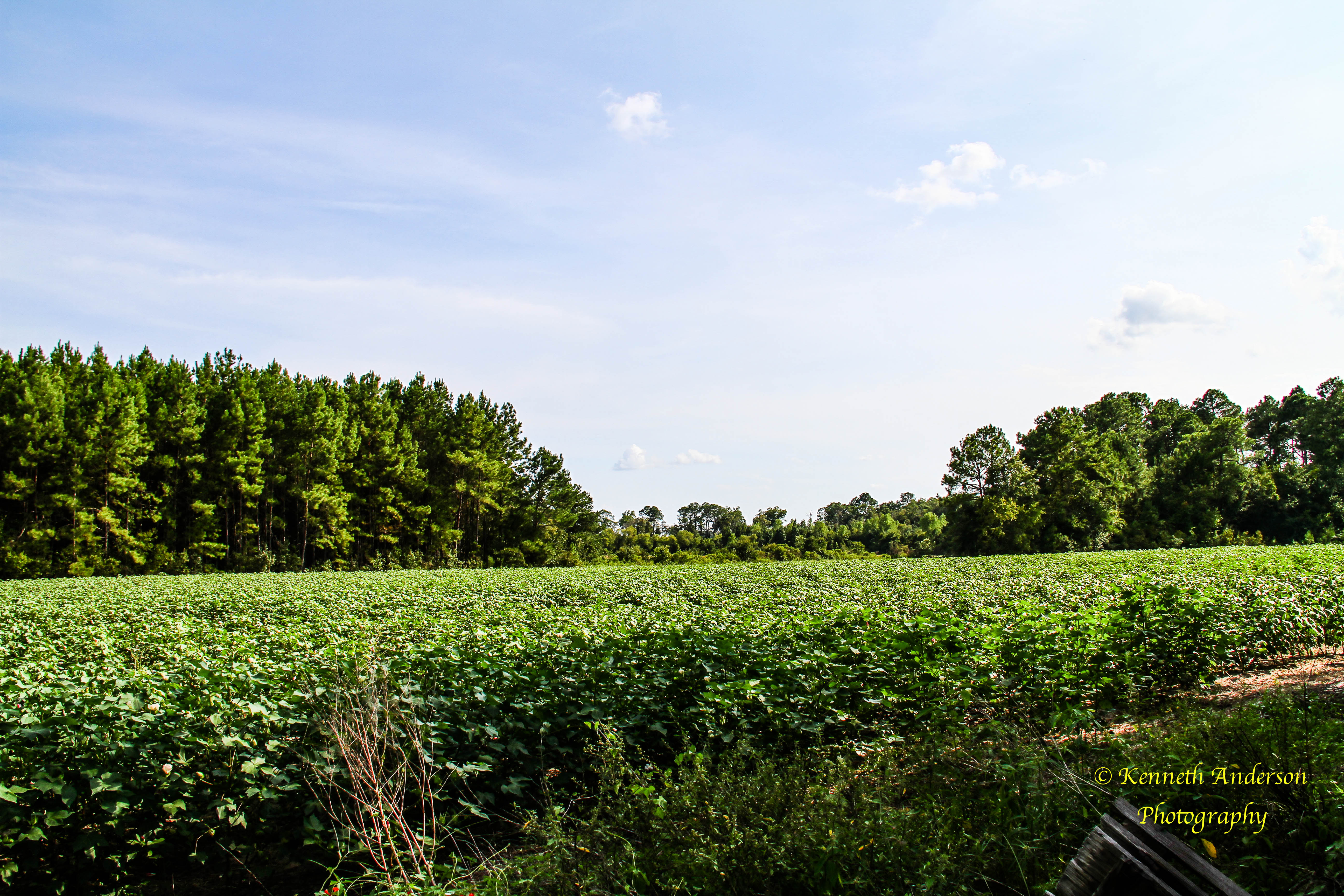
View of South Field of Cotton From Ridge

Good view looking out. #changinglights at #church #ladder 25 feet up.

The view looking down. #changinglights at #church almost #verticalladder 25 feet in the air. #scared #excited #adrenaline might have #peedmyselfalittle
Loving the #clouds reflecting on #Lake #Cherokee #Thomasville #GA #iPhone

Thomasville sunrise
IMG_4710.jpg
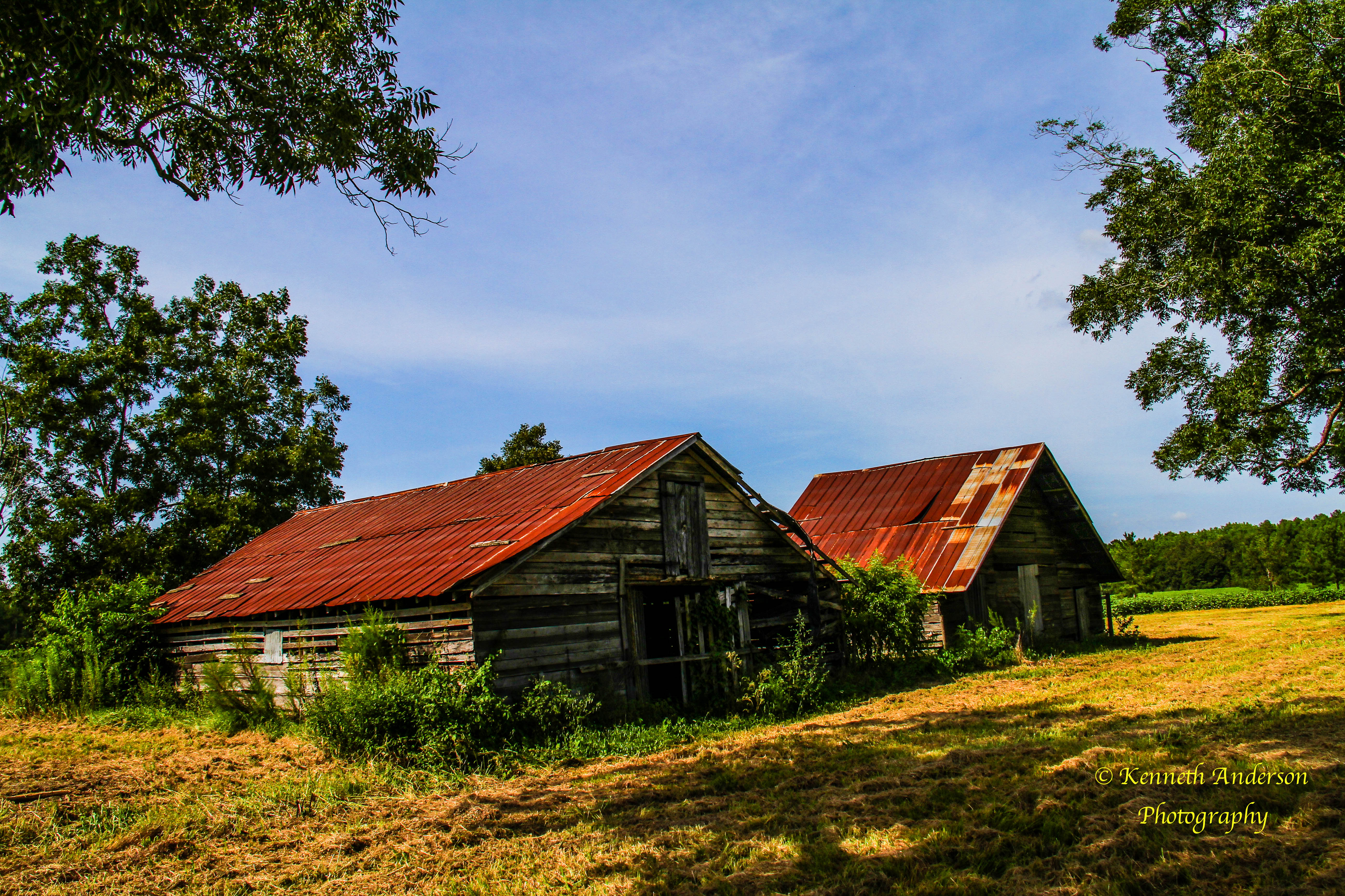
Thomas County-3.jpg
IMG_4711.jpg
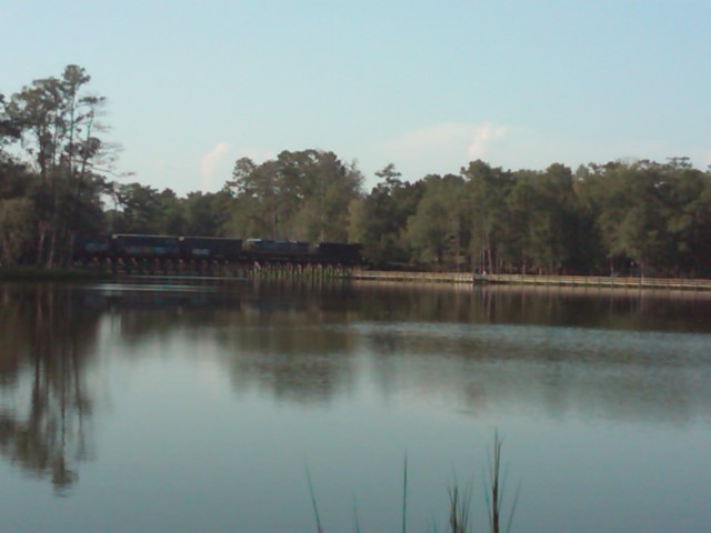
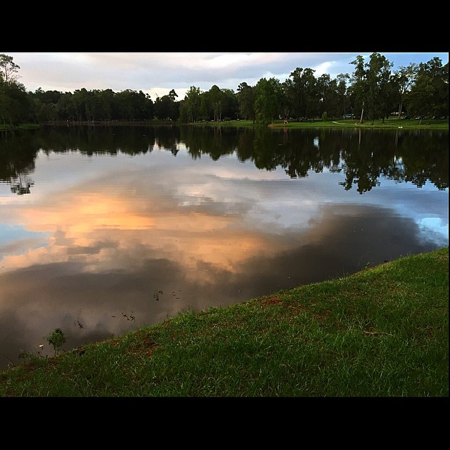
Train over Lake Cherokee
IMG_4757.jpg
Cotton Fields2.jpg
IMG_4753.jpg

#Sunrise over #Thomasville #ga #mornings #iPhone #wtxlsunrise
IMG_4719.jpg

Thomasville's Lake Cherokee in a light fog. #thomasville #georgia #swga #georgia #exploregeorgia #fog #lake #cherokee #nikon #d5300

20090219-IMG_1292
1420 Balfour House Img_8155
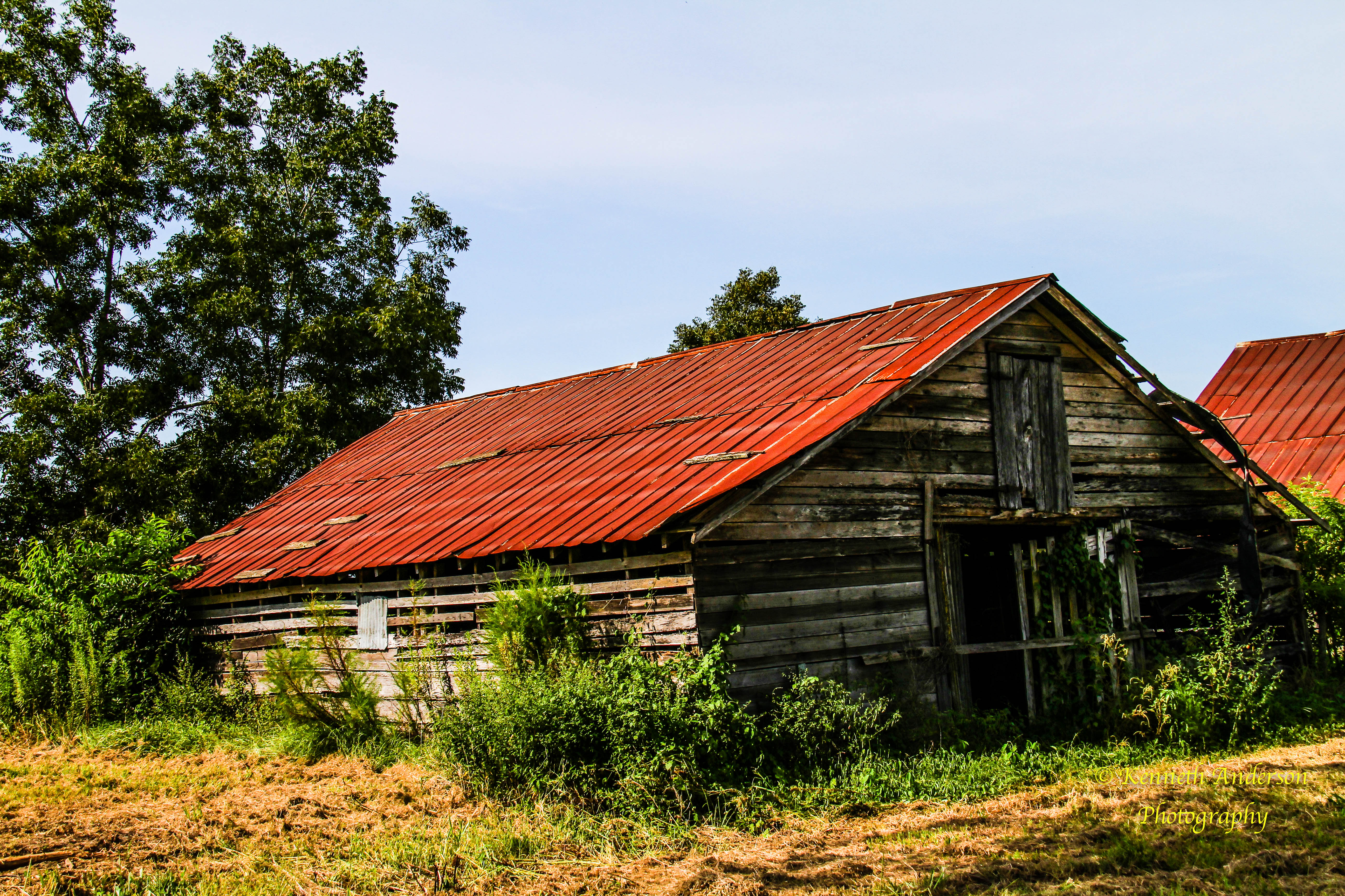
Ephraim Ponder House Thomasville GA

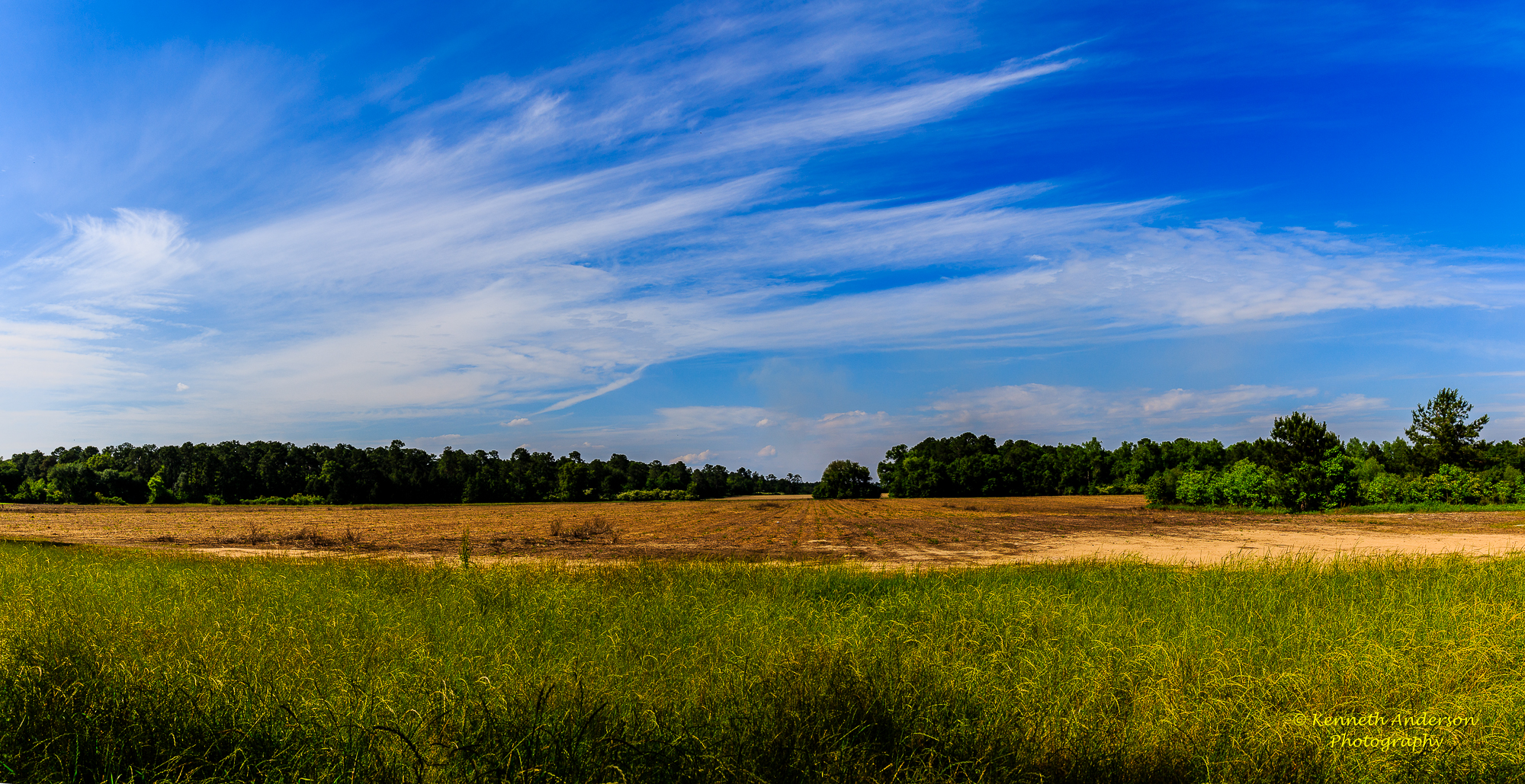
South Pivot Field

20090219-IMG_1289
IMG_4724.jpg

20090219-IMG_1290
IMG_4718.jpg
Topographic Map of Thomas County, GA, USA
Find elevation by address:

Places in Thomas County, GA, USA:
Places near Thomas County, GA, USA:
12505 Eason Crossing Rd
Eason
146 Saddlebrook Plantation
94 Harrell Rd, Thomasville, GA, USA
57 Airport Rd, Thomasville, GA, USA
Boston
125 Duren Dr
13058 Us-319
101 Cobblestone Ln
9895 Us-19
Hall Rd, Thomasville, GA, USA
Kelon Drive
109 Marion St
401 Crowley Spur Rd
Hall Rd, Thomasville, GA, USA
108 Eagles Landing Dr
241 Cove Landing Dr
201 Edgewood Dr
Thomasville
GA-33, Pavo, GA, USA
Recent Searches:
- Elevation of Corso Fratelli Cairoli, 35, Macerata MC, Italy
- Elevation of Tallevast Rd, Sarasota, FL, USA
- Elevation of 4th St E, Sonoma, CA, USA
- Elevation of Black Hollow Rd, Pennsdale, PA, USA
- Elevation of Oakland Ave, Williamsport, PA, USA
- Elevation of Pedrógão Grande, Portugal
- Elevation of Klee Dr, Martinsburg, WV, USA
- Elevation of Via Roma, Pieranica CR, Italy
- Elevation of Tavkvetili Mountain, Georgia
- Elevation of Hartfords Bluff Cir, Mt Pleasant, SC, USA