Elevation of Paint Township, OH, USA
Location: United States > Ohio > Ross County >
Longitude: -83.314801
Latitude: 39.2740516
Elevation: 253m / 830feet
Barometric Pressure: 98KPa
Elevation Map:
Satellite Map:
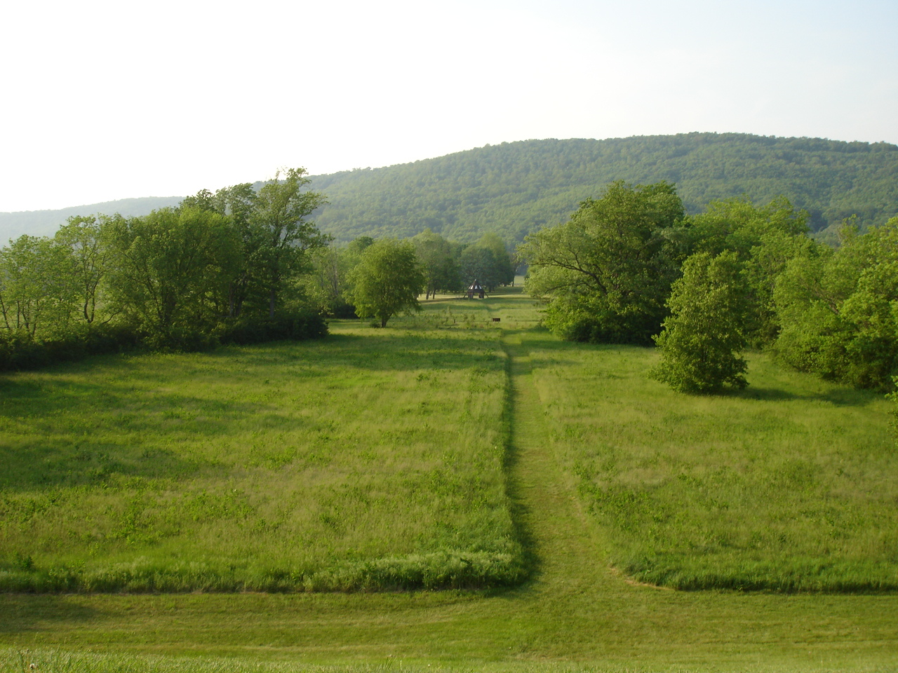
Related Photos:

Old Mans Cave - View 4

Rear, Christian Benner House — Paxton Township, Ross County, Ohio
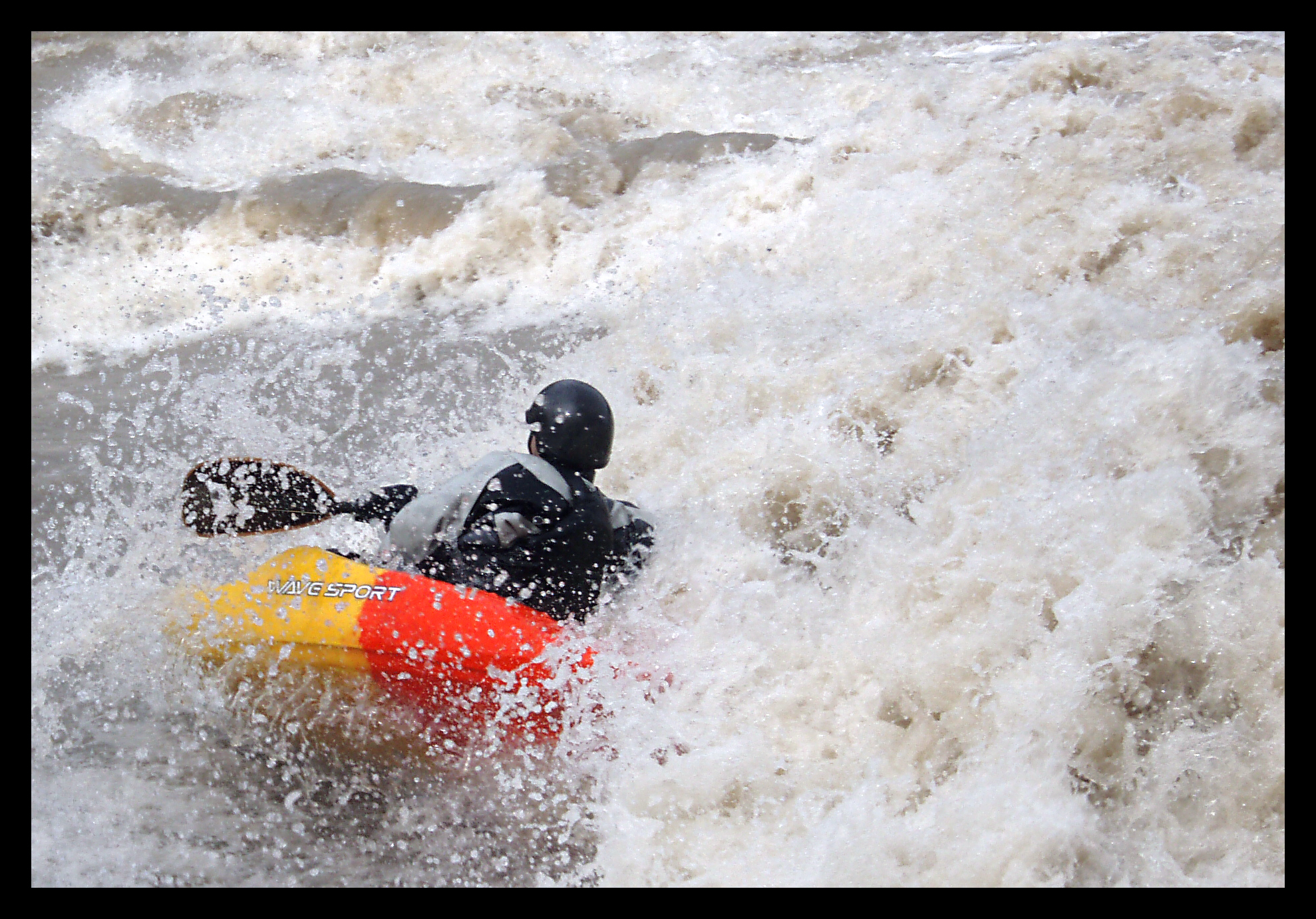
Wavesport Promo
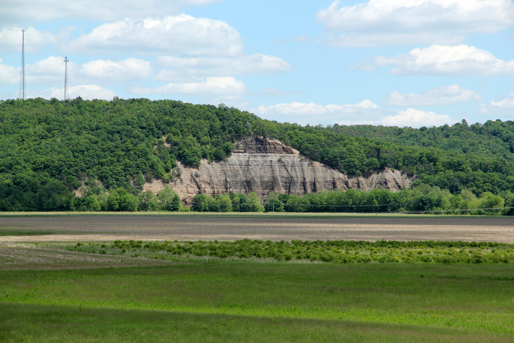
Cliff, Copperas Mountain — Twin Township, Ross County, OH
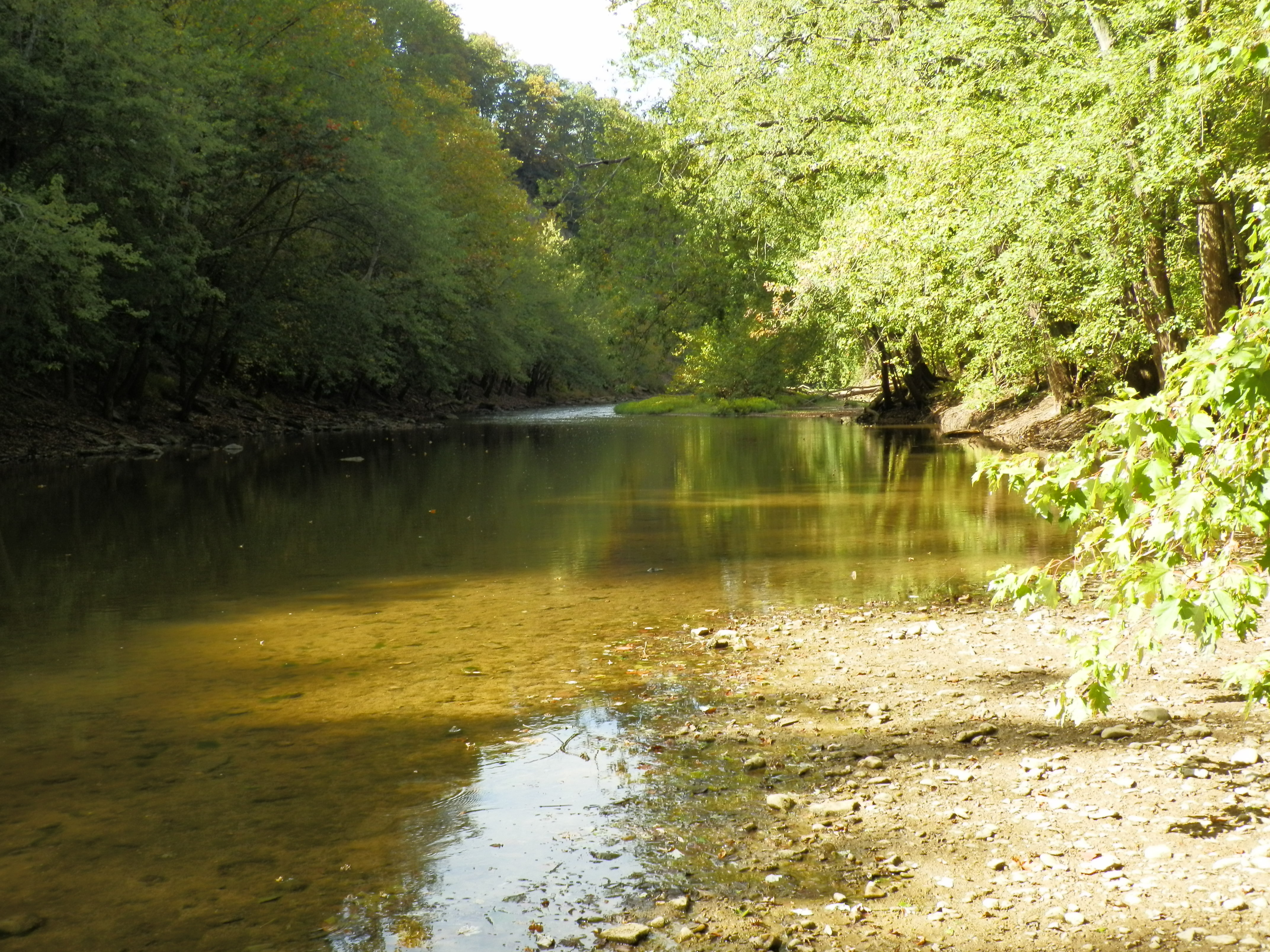
Paint Creek Valley, Looking Northeast — Bainbridge, OH
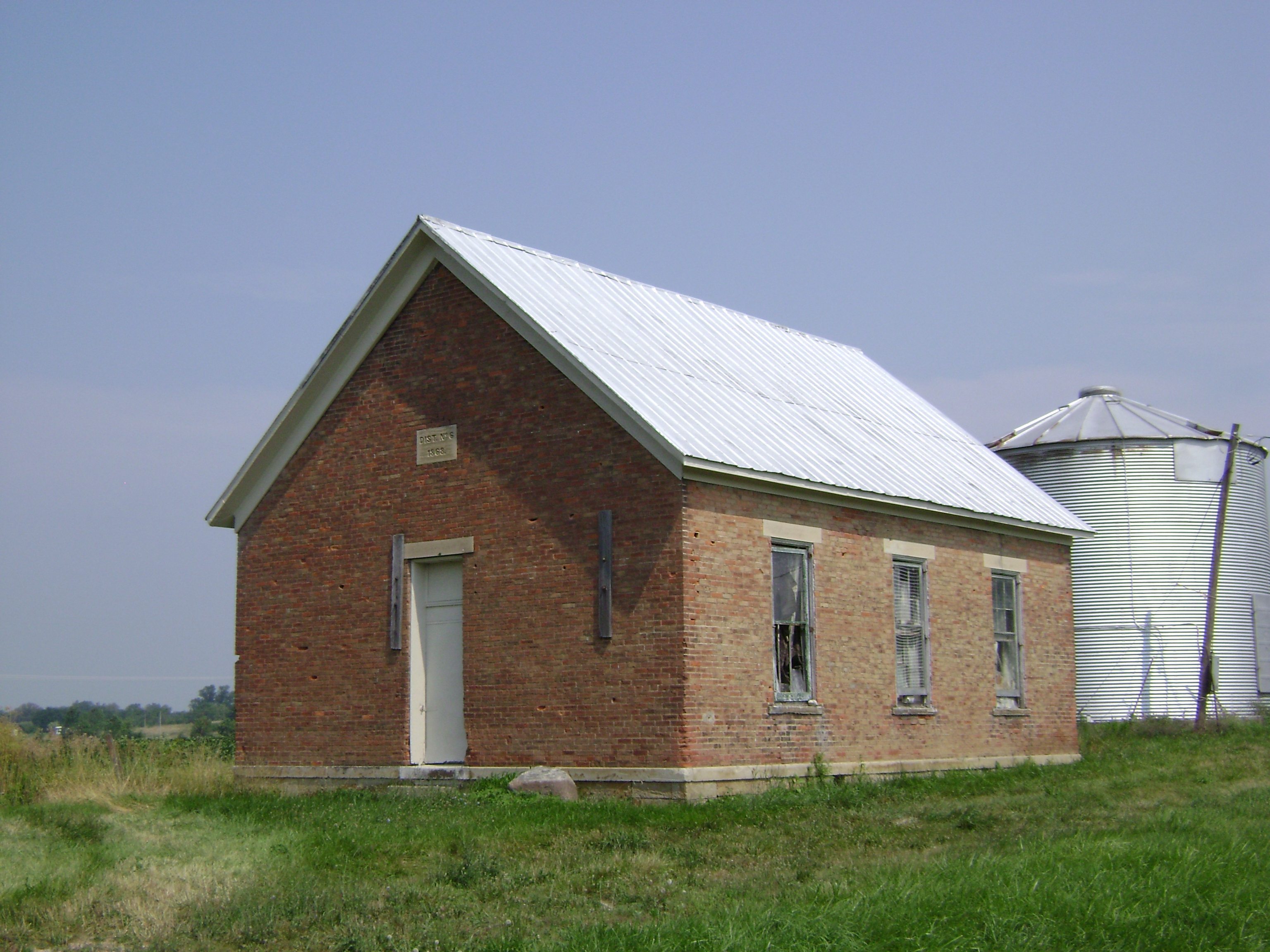
Harper, Ohio- Harper Schoolhouse
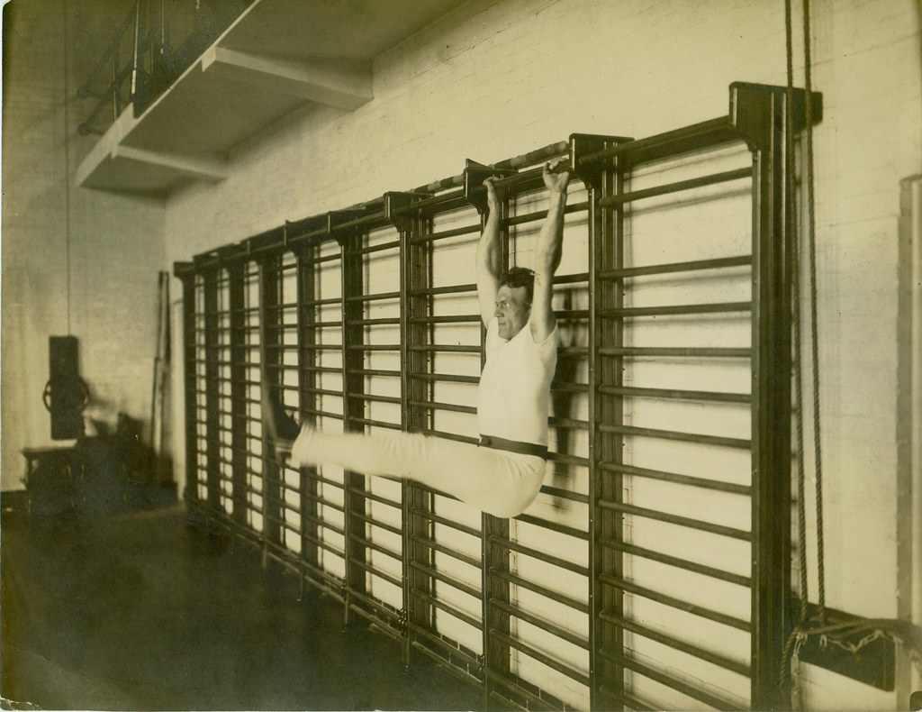
Old school exercise
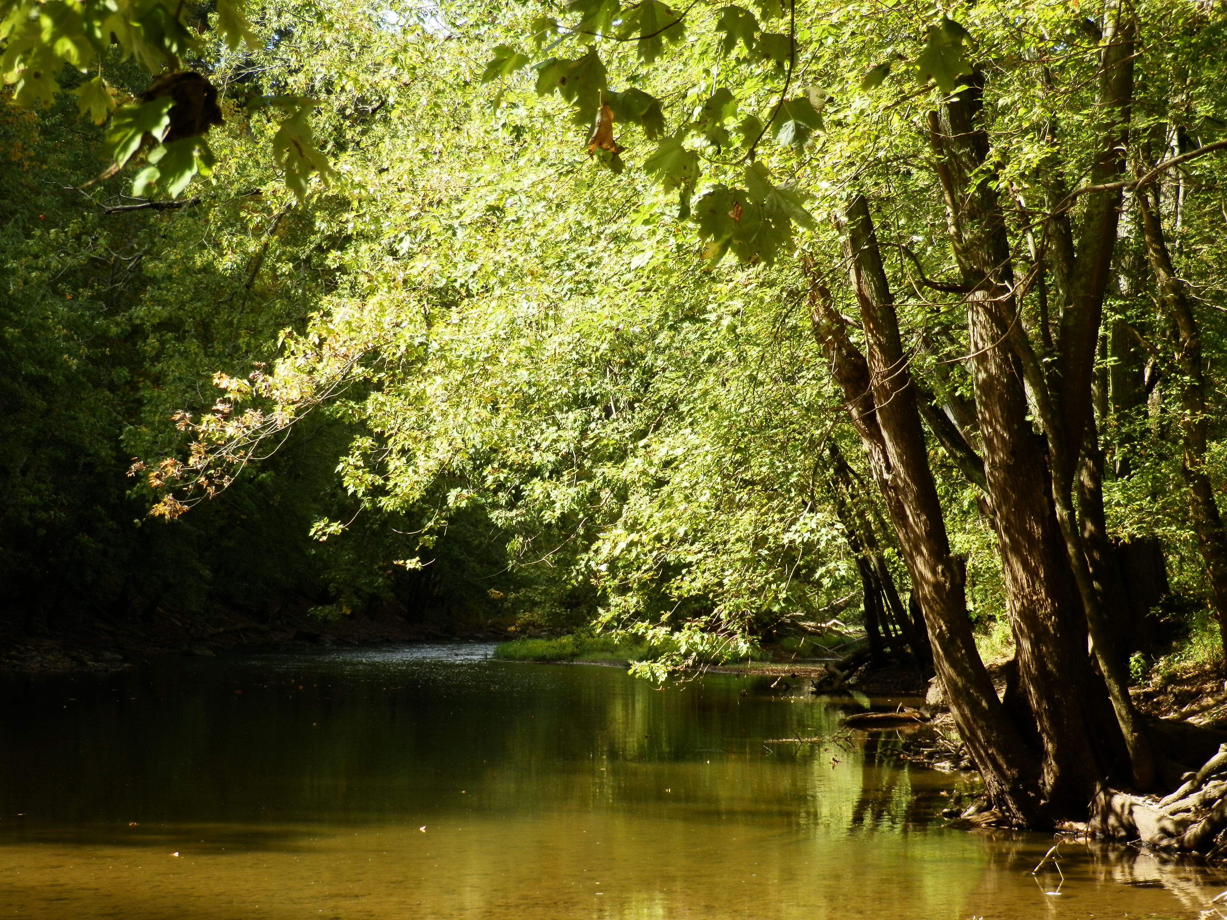
Paint Creek Valley, Looking North — Bainbridge, OH
Bainbridge, OH
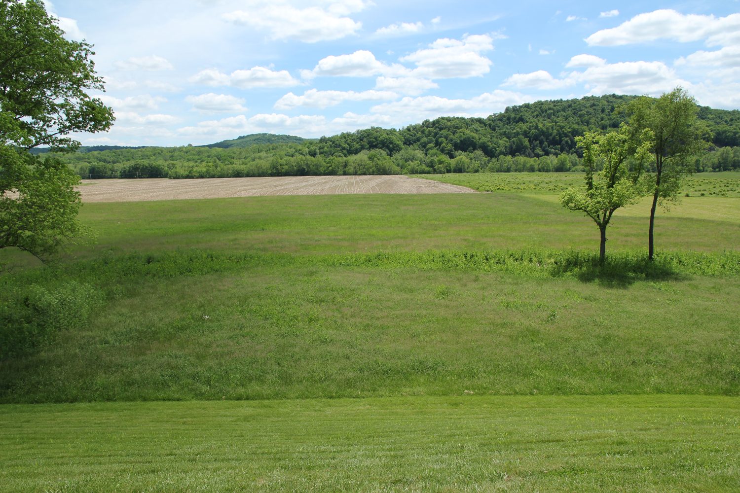
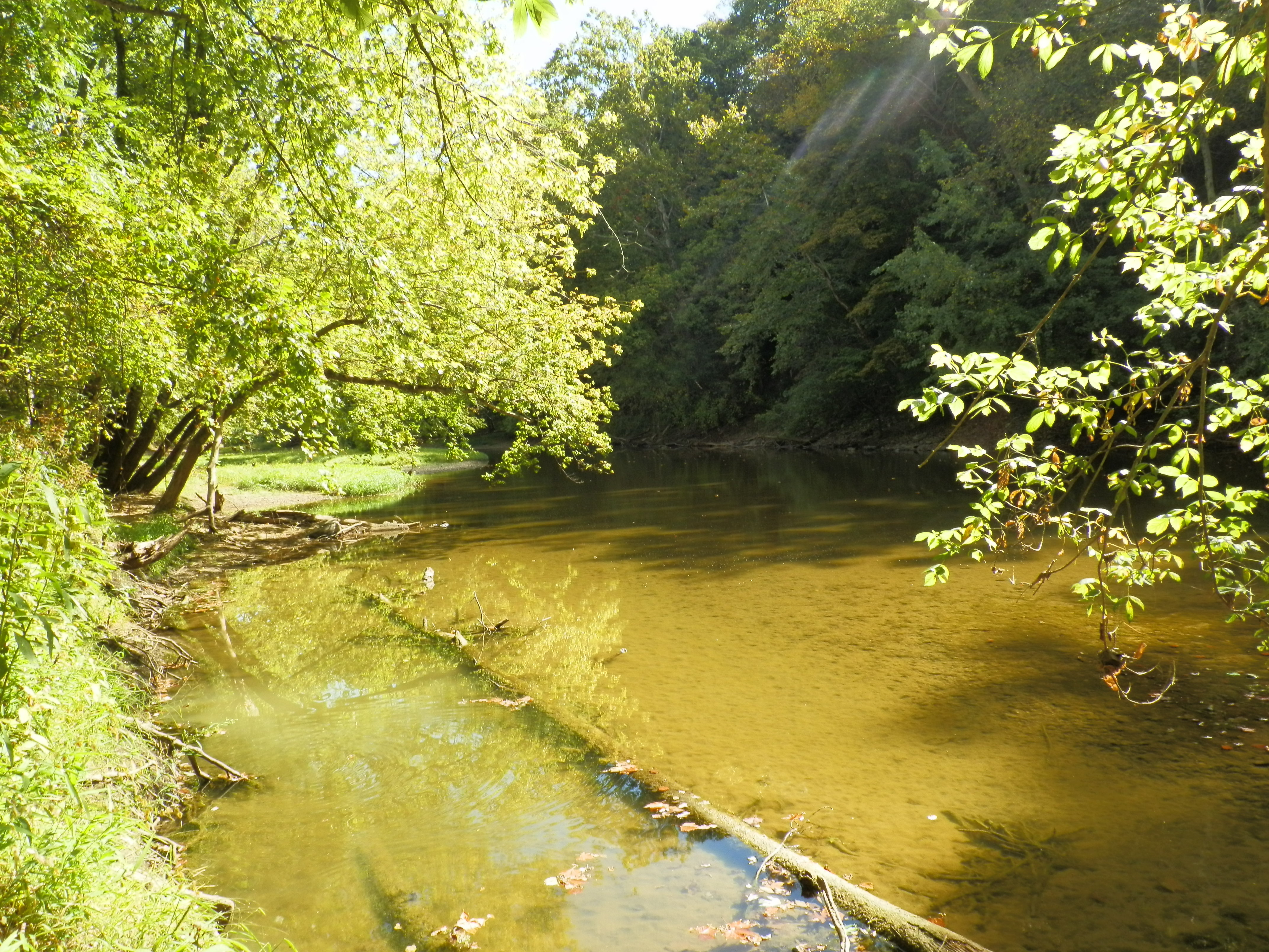
Paint Creek Valley, Looking South — Bainbridge, OH
Pike Lake: Upward View in the Tree

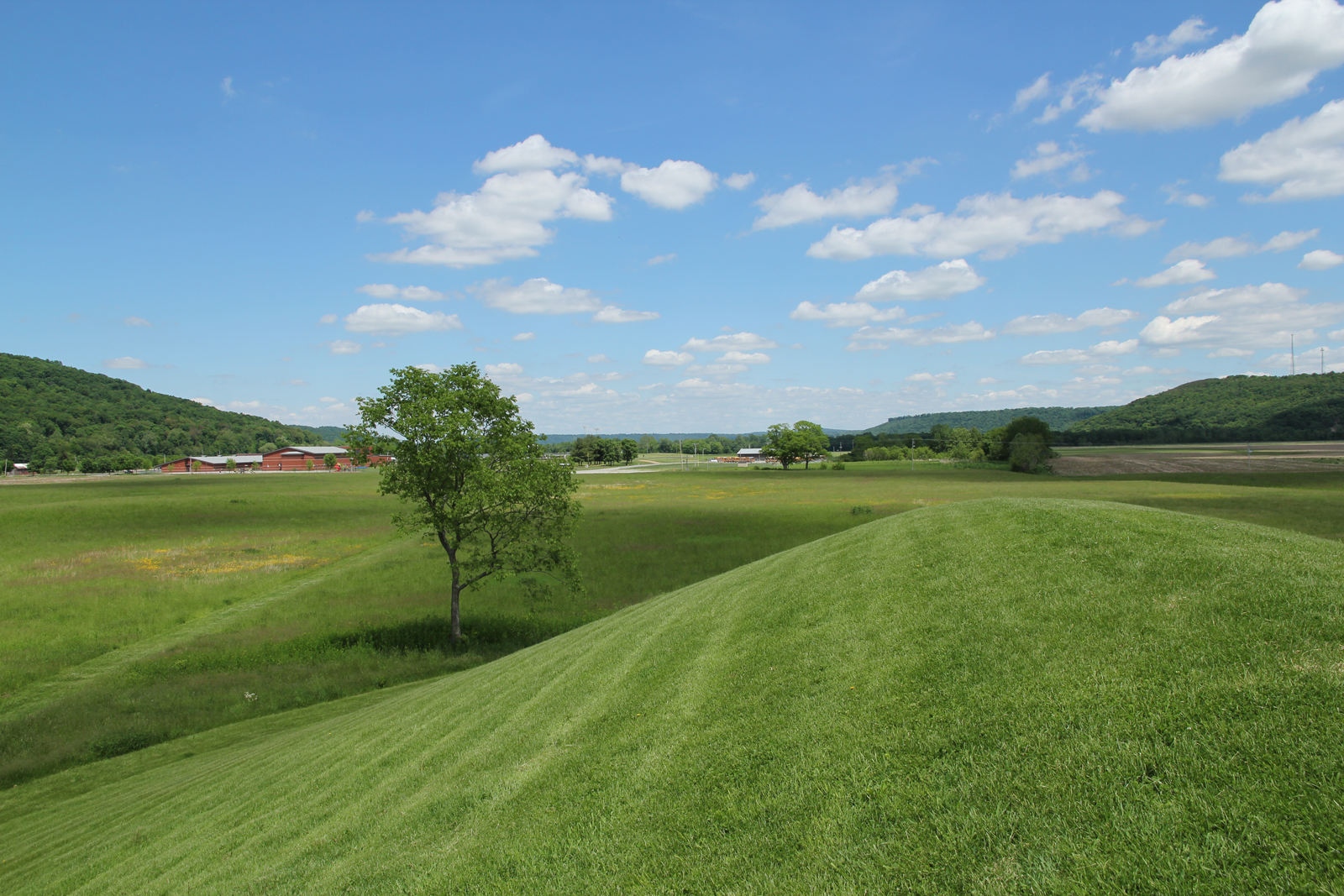
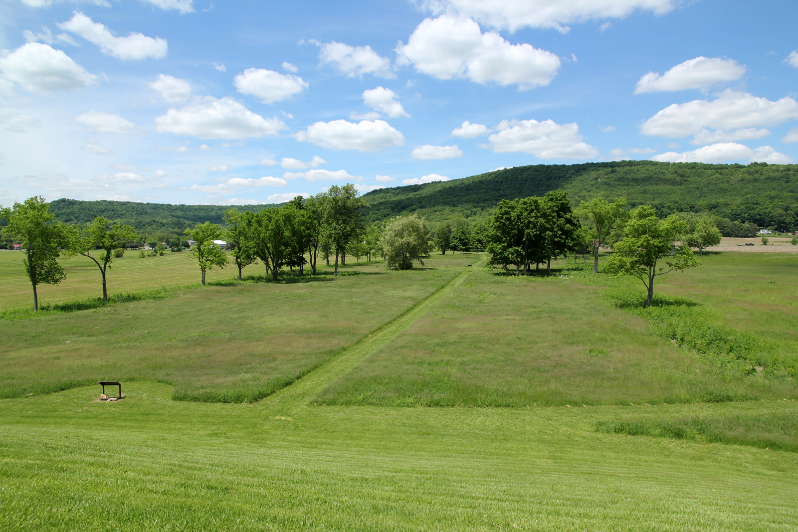
seim earthworks view

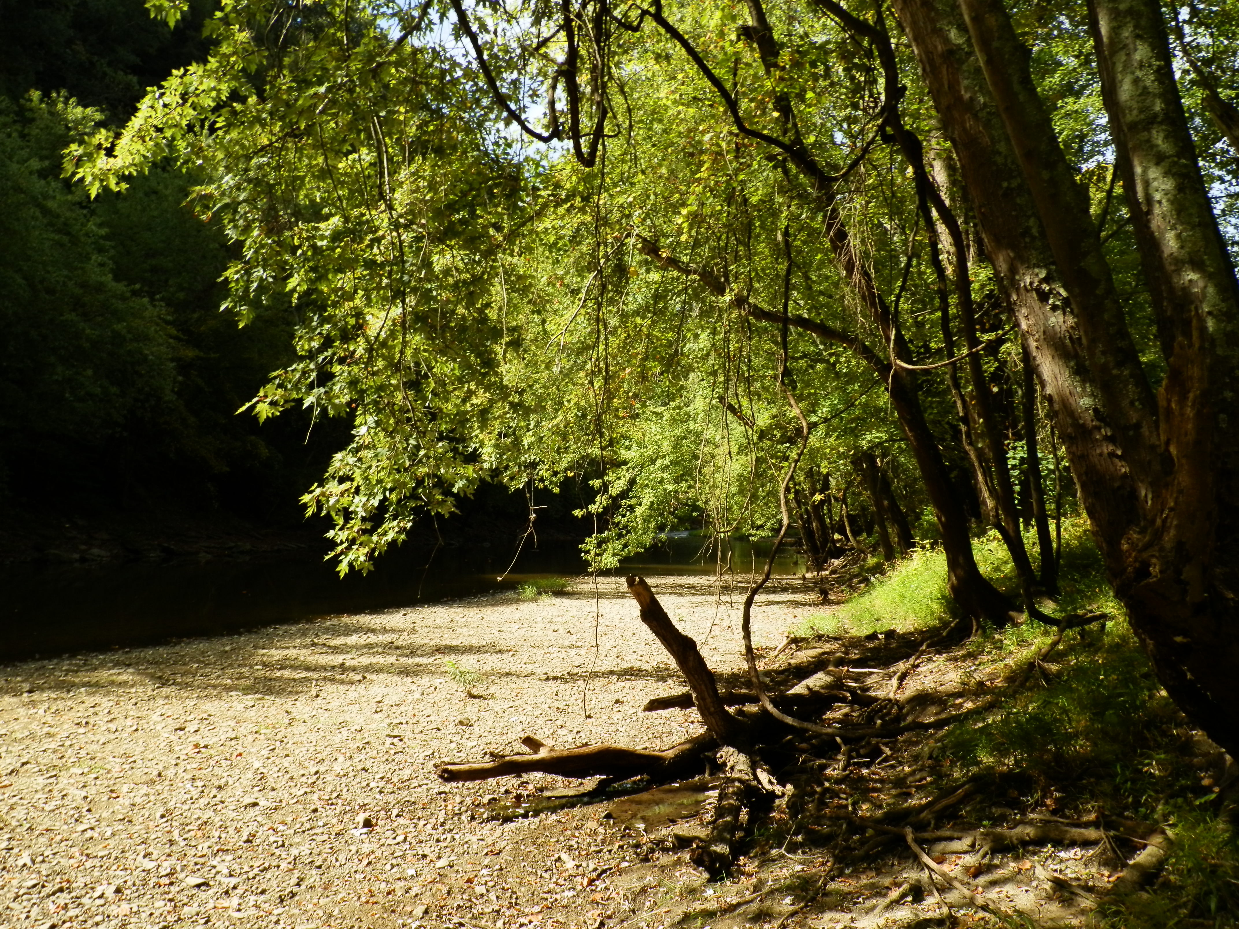
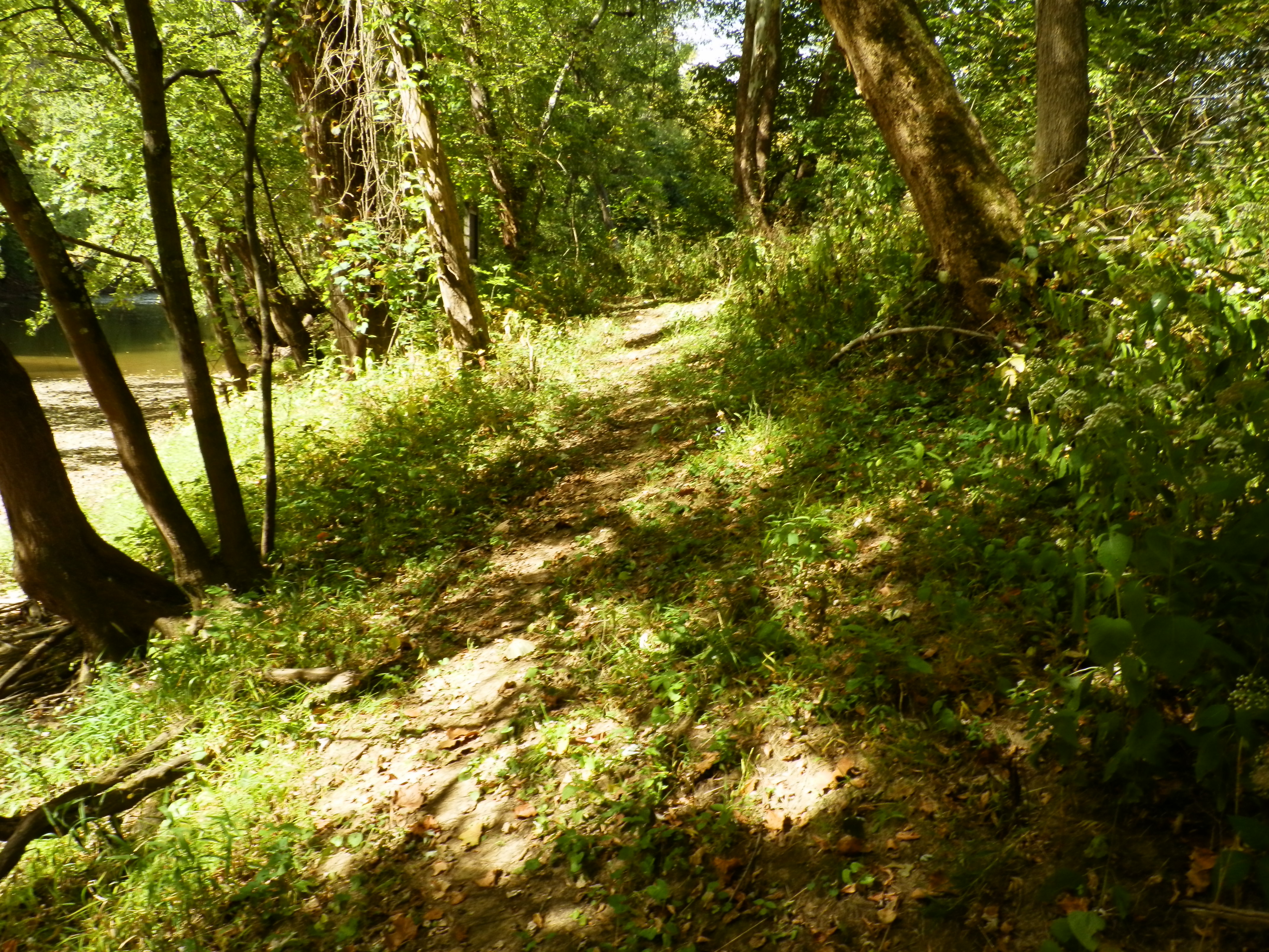
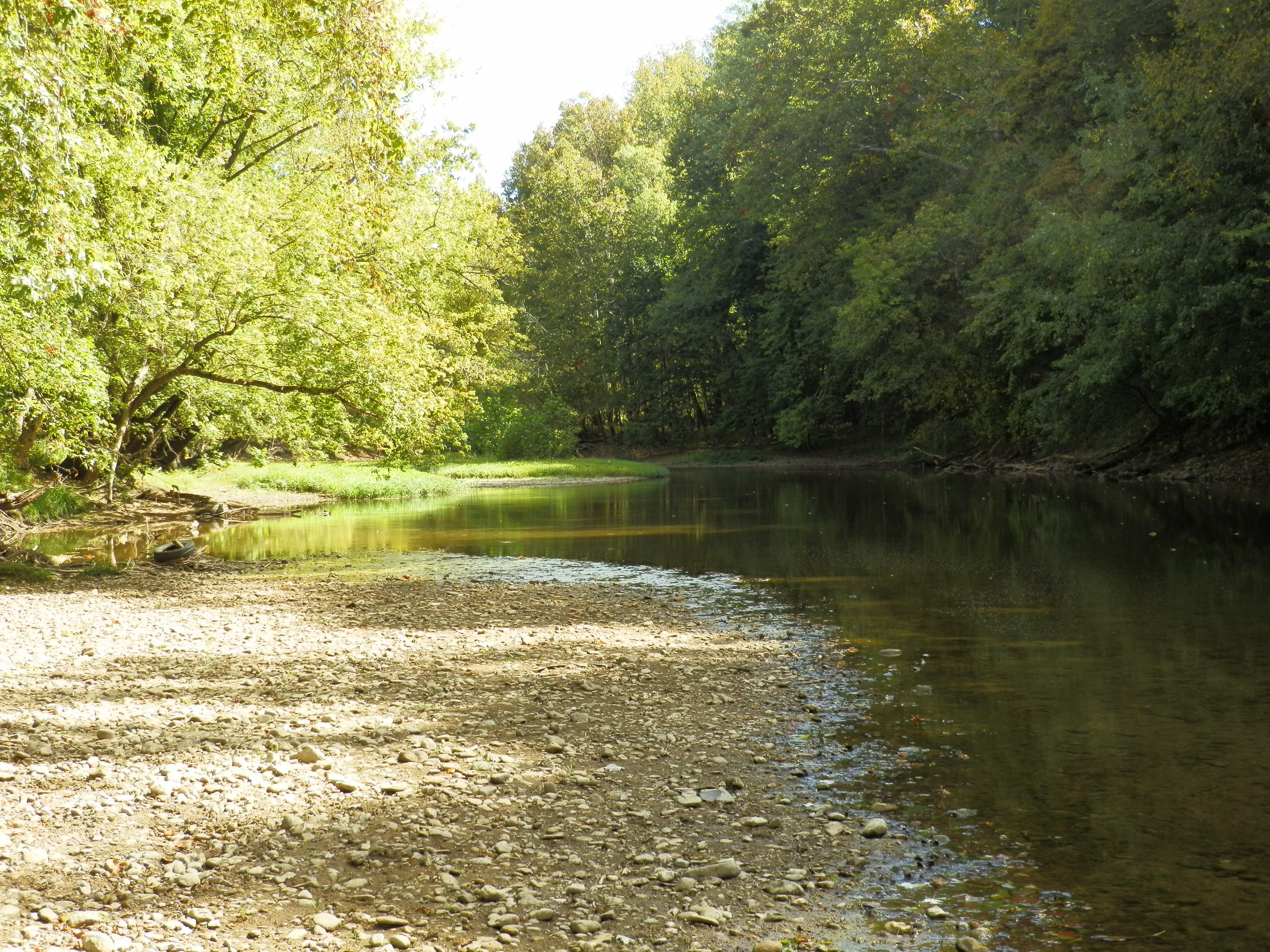
Little Pond at Paint Creek, State Park
Hopewell Culture NHP, OH
Hopewell Culture NHP, OH
Hopewell Culture NHP, OH

Feb 8
Hopewell Culture NHP, OH
Hopewell Culture NHP, OH
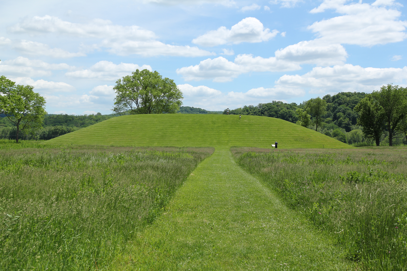
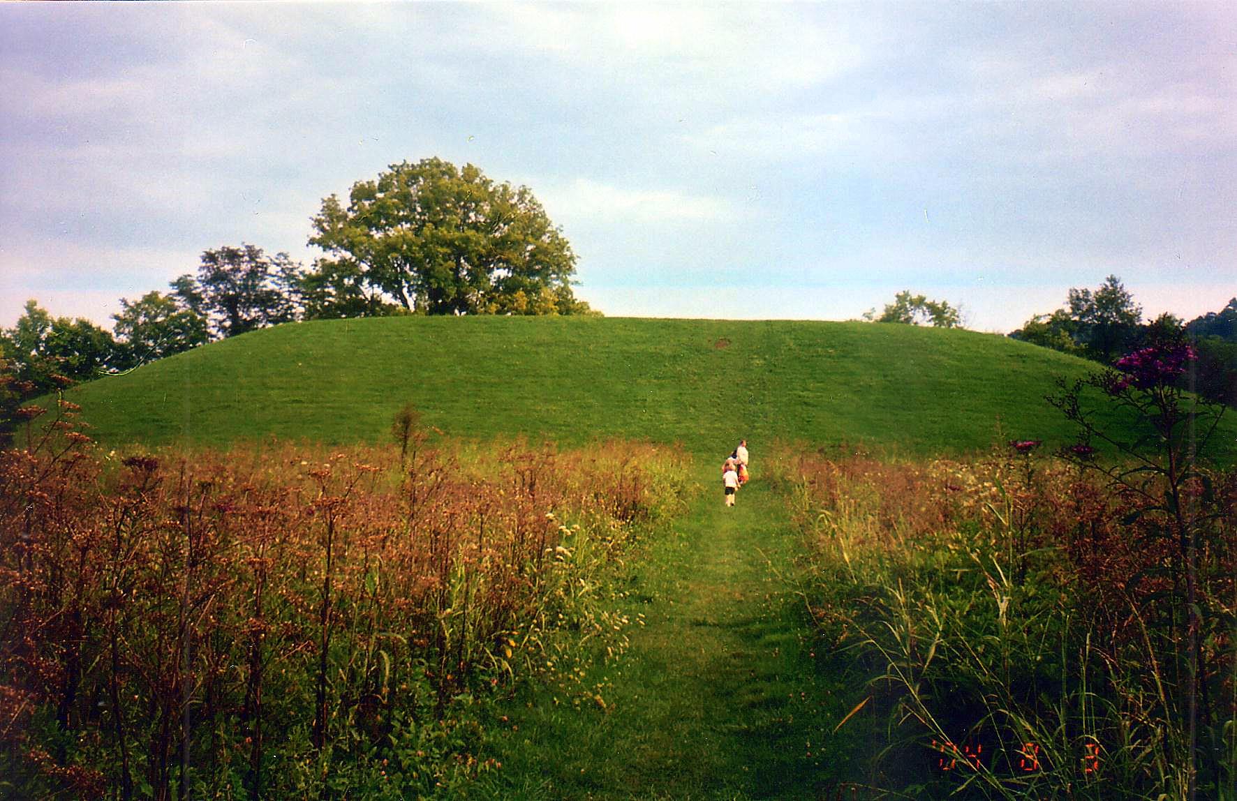
Seip Mound — Bainbridge, OH
Hopewell Culture NHP, OH
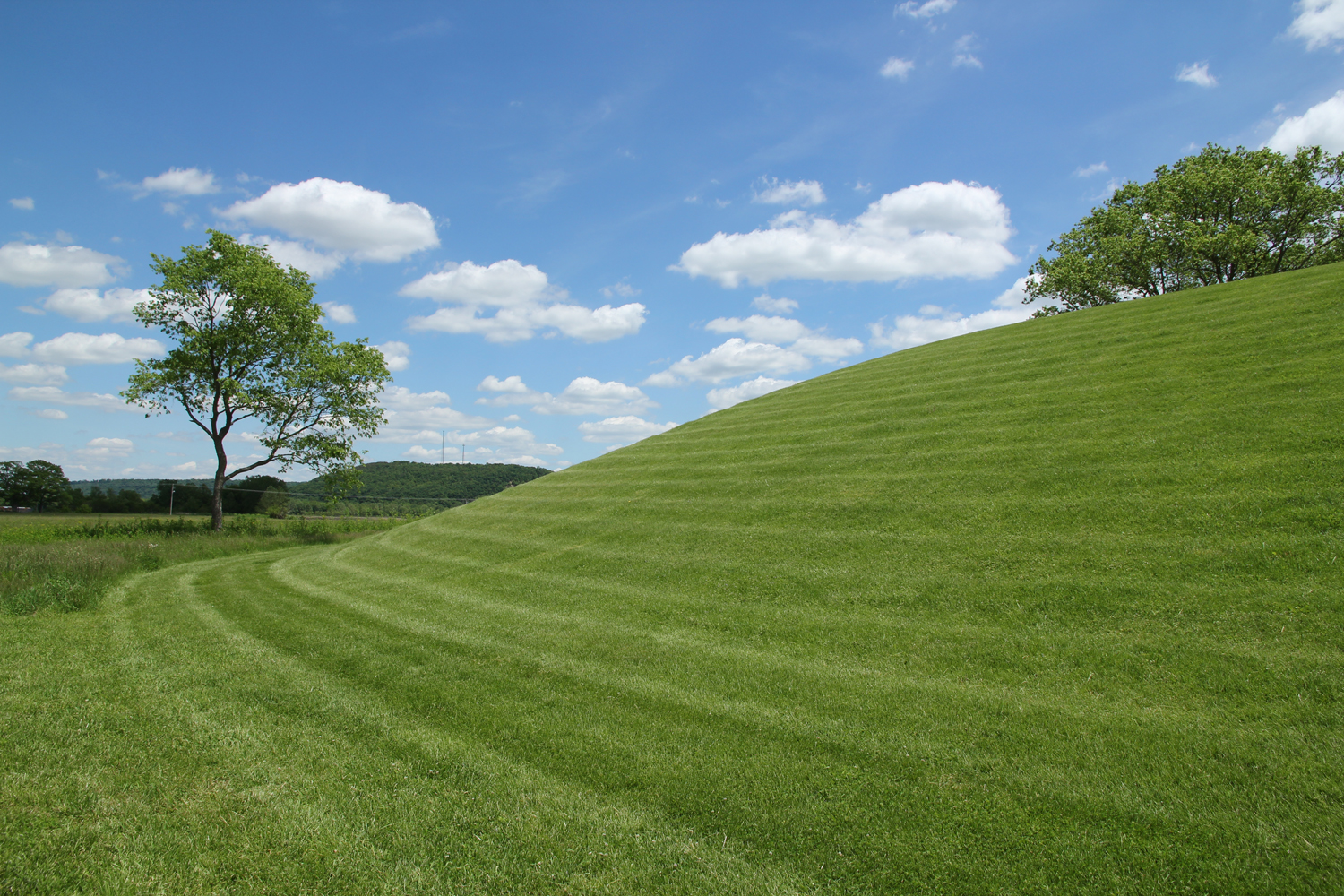
Seip Mound — Bainbridge, OH
Hopewell Culture NHP, OH

Eeny Oony Wana! Eeny Oony Wana!
Hopewell Culture NHP, OH
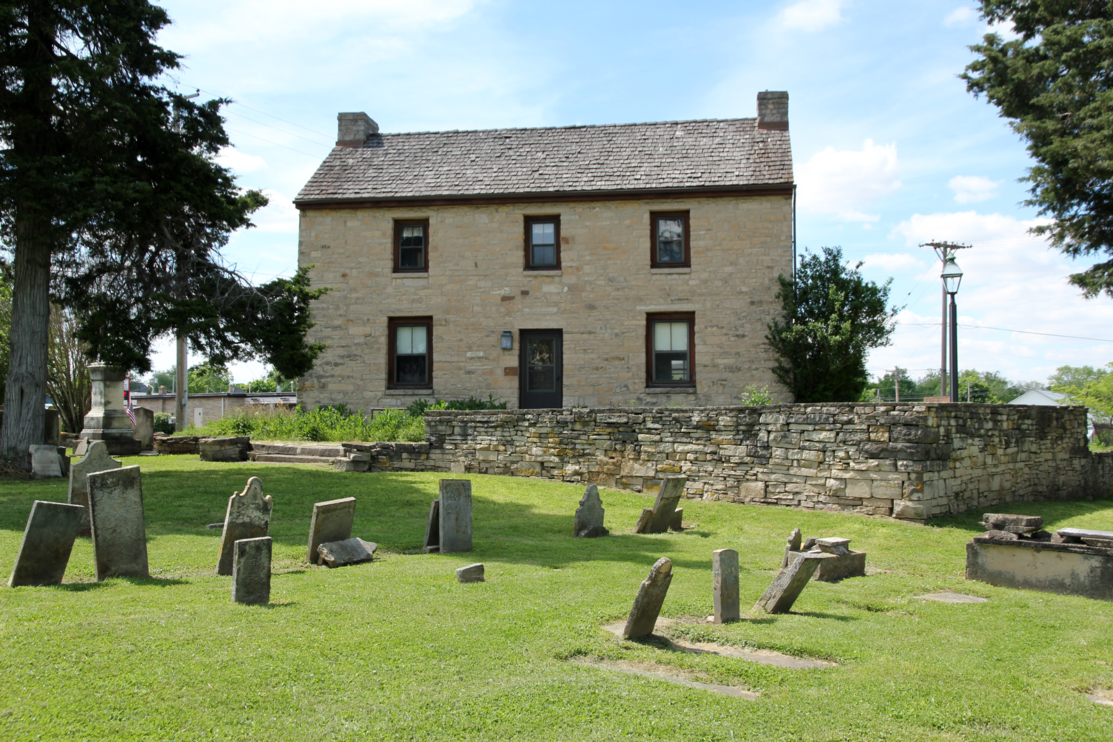
Rear, Travelers' Rest — Greenfield, OH
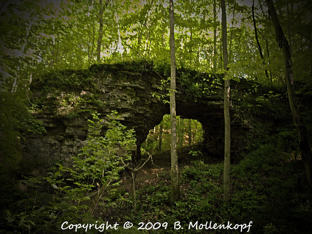
Trimmer Arch
Eeny Oony Wana! Eeny Oony Wana!
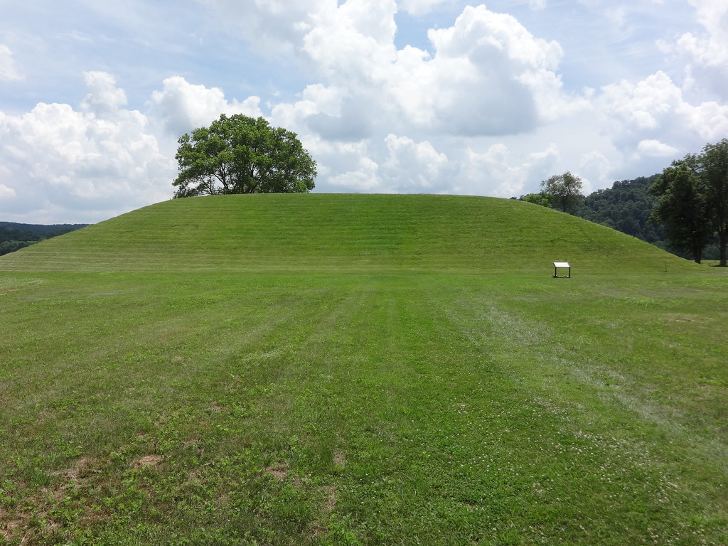
Seip Earthworks
Backside of Seip Mound
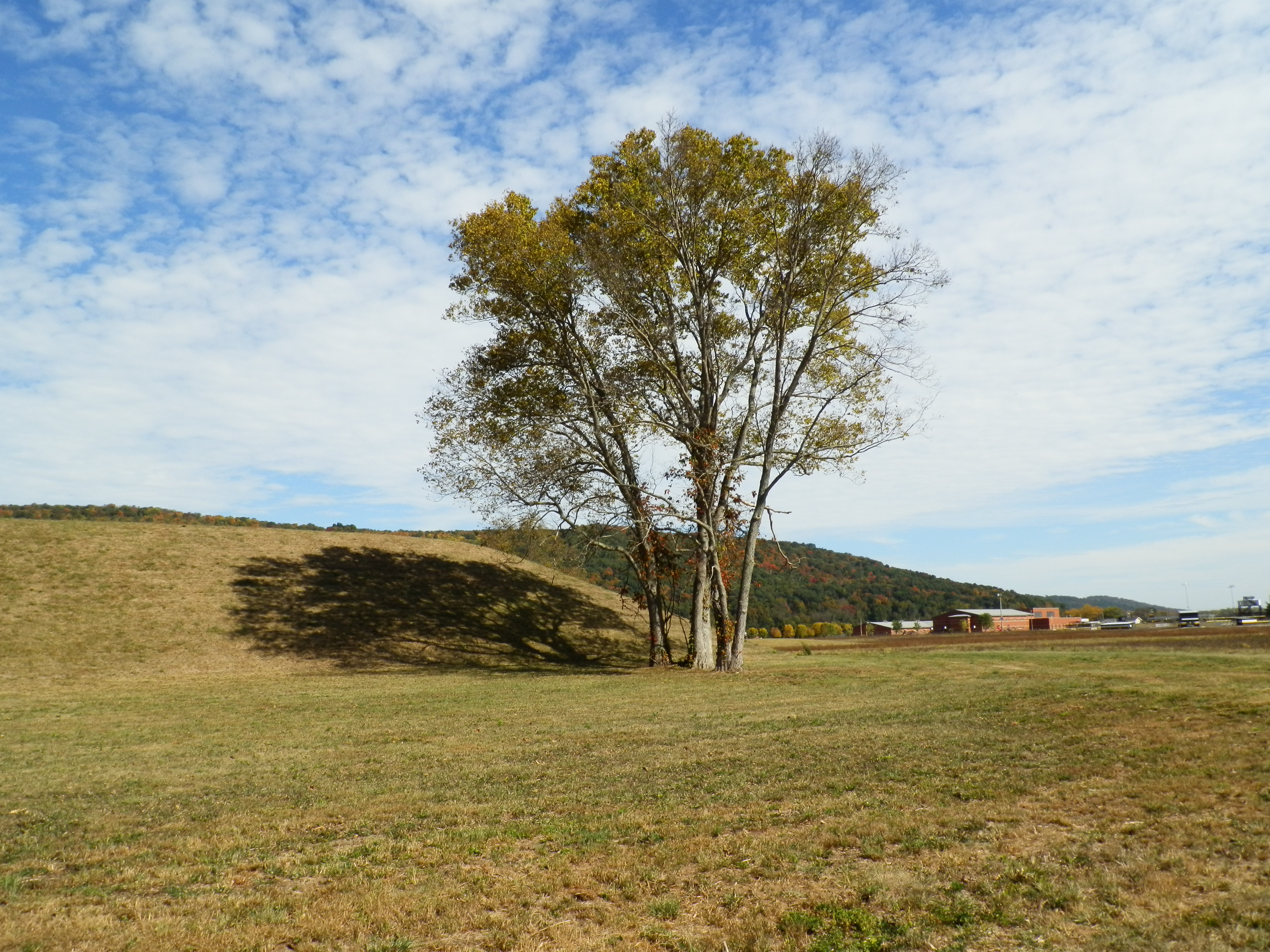
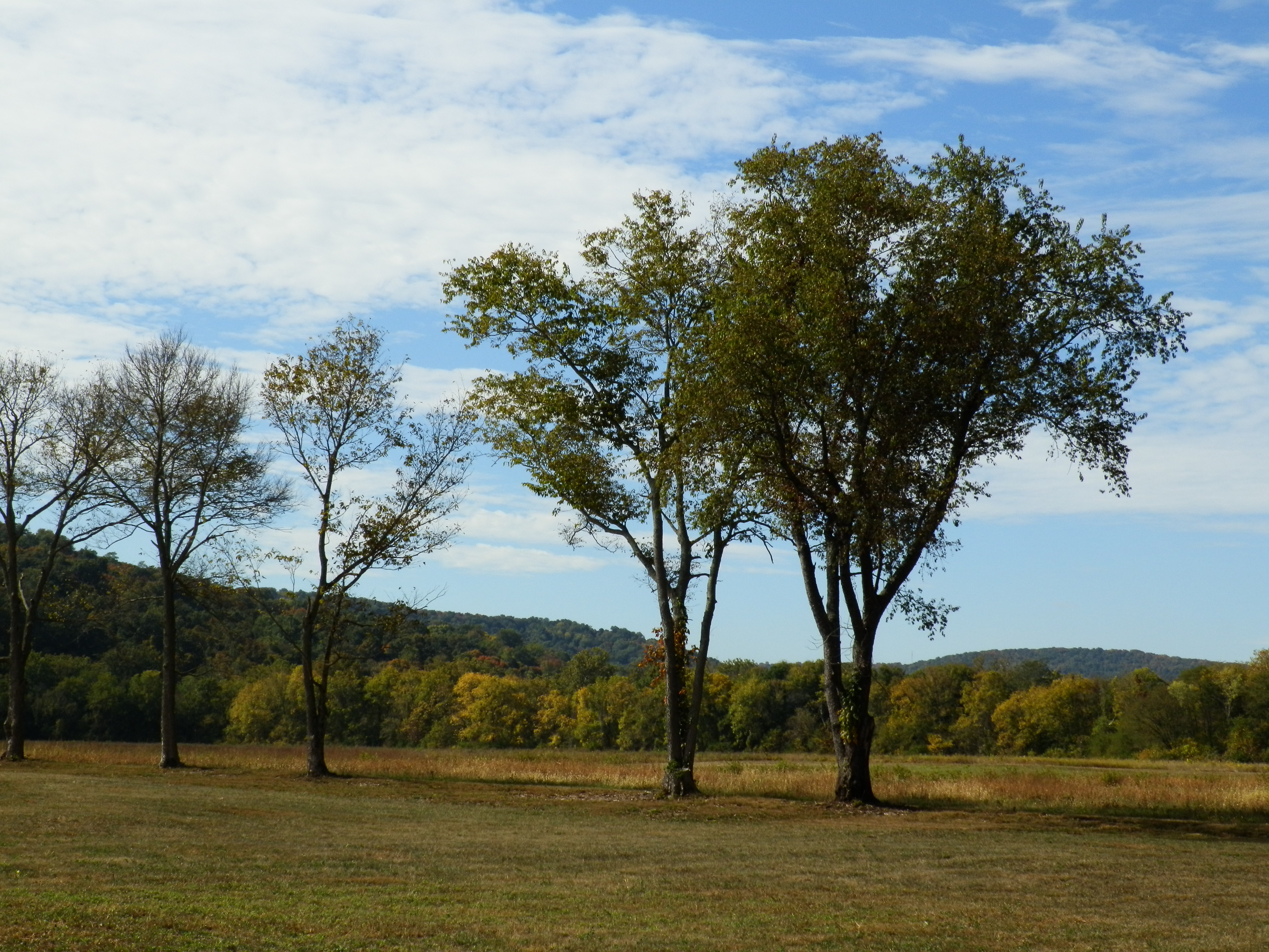
Bainbridge, OH
Topographic Map of Paint Township, OH, USA
Find elevation by address:

Places near Paint Township, OH, USA:
Bainbridge, OH, USA
Bainbridge, OH, USA
Bainbridge
4790 Jester Hill Rd
Paxton Township
10123 Lower Twin Rd
552 Davis Hill Rd
US-50 Scenic, Bourneville, OH, USA
Bourneville
Twin Township
3825 Mingo Rd
Black Run Rd, Chillicothe, OH, USA
Easterday Rd, Chillicothe, OH, USA
Windy Ridge Road
3941 Maple Grove Rd
864 Hartwood Rd
Huntington Township
5686 Blain Hwy
Baptist Hill Road
20 N Fork Dr, Chillicothe, OH, USA
Recent Searches:
- Elevation of Congressional Dr, Stevensville, MD, USA
- Elevation of Bellview Rd, McLean, VA, USA
- Elevation of Stage Island Rd, Chatham, MA, USA
- Elevation of Shibuya Scramble Crossing, 21 Udagawacho, Shibuya City, Tokyo -, Japan
- Elevation of Jadagoniai, Kaunas District Municipality, Lithuania
- Elevation of Pagonija rock, Kranto 7-oji g. 8"N, Kaunas, Lithuania
- Elevation of Co Rd 87, Jamestown, CO, USA
- Elevation of Tenjo, Cundinamarca, Colombia
- Elevation of Côte-des-Neiges, Montreal, QC H4A 3J6, Canada
- Elevation of Bobcat Dr, Helena, MT, USA