Elevation of Bainbridge, OH, USA

Location: United States > Ohio > Ross County > Paxton Township > Bainbridge >

Longitude: -83.314801

Latitude: 39.2326802

Elevation: 251m / 823feet

Barometric Pressure: 98KPa

Elevation Map:

elevation map of Bainbridge, OH, USA

Satellite Map:

Satellite map of Bainbridge, OH, USA

Related Photos:

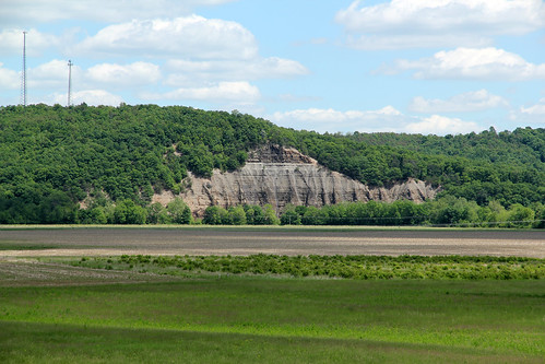
park county trees ohio sky cliff mountain field clouds creek bedford ross sandstone paint state hill valley geology bainbridge mound exposed township paxton 270 shale berea seip copperas
Cliff, Copperas Mountain — Twin Township, Ross County, Ohio
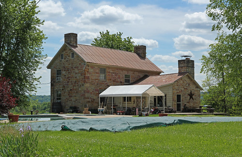
county pink windows roof ohio red orange house kitchen yellow metal stone farmhouse standing ross sandstone farm wing plate 66 historic christian residence bainbridge seam chimneys eaves township false vents ihouse paxton benner threebay ca1805
Rear, Christian Benner House — Paxton Township, Ross County, Ohio
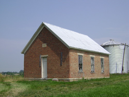
county school ohio house brick abandoned rural one ross decay room forgotten schoolhouse harper 1868
Harper, Ohio- Harper Schoolhouse
park county blue school ohio sky tree clouds creek landscape ross high scenery paint view state scenic valley bainbridge mound pleasant township paxton seip
Paint Creek Valley, Looking Northeast — Bainbridge, Ohio
exercise oldschool archaic torturedevices mcclainhighschool msh1106 msh110614
Old school exercise
park county trees ohio mountains clouds creek landscape site ross scenery paint view state scenic meadow historic hills valley fields bainbridge mound archaeological pleasant township paxton seip
Paint Creek Valley, Looking North — Bainbridge, Ohio
park county trees ohio mountains field grass clouds creek landscape ross scenery paint view state scenic farmland hills valley bainbridge mound township paxton plowed seip
Paint Creek Valley, Looking South — Bainbridge, Ohio
whitewater paintcreek wavesport whitewaterkayak project45 daytonoac paintcreekchutes
Wavesport Promo
usafmuseum daytonohio forthillstatememorial
View across the trees at Fort Hill
Bainbridge, OH
Pike Lake: Upward View in the Tree
View across the trees at Fort Hill
ohio paintcreek littlepond paintcreeklake pentaxk5
Little Pond at Paint Creek, State Park
park ohio culture national historical hopewell earthworks seip
Seip Earthworks
park winter ohio white creek paint state sparrow throated
Feb 8
park county blue trees ohio sky mountains grass clouds creek site ross corn scenery paint state native scenic historic hills american valley bainbridge mound archaeological hopewell pleasant township paxton earthworks seip
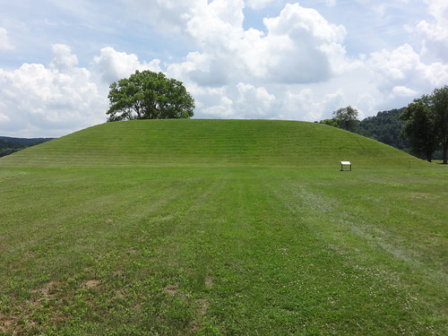
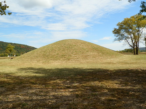
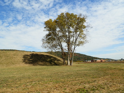
Seip Mound — Bainbridge, Ohio
park county trees ohio sky grass clouds landscape site ross scenery state native scenic meadow historic american burial bainbridge mound archaeological hopewell pathway pleasant township paxton mowed excavated seip
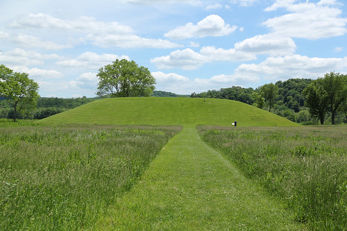
Seip Mound — Bainbridge, Ohio
county wood windows roof ohio house building cemetery stone wall fence 22 inn rear shingle places historic highland national tavern rest register flush greenfield tombstones leaning gravestones chimneys travelers ihouse 1812 sills nrhp lintels threebay
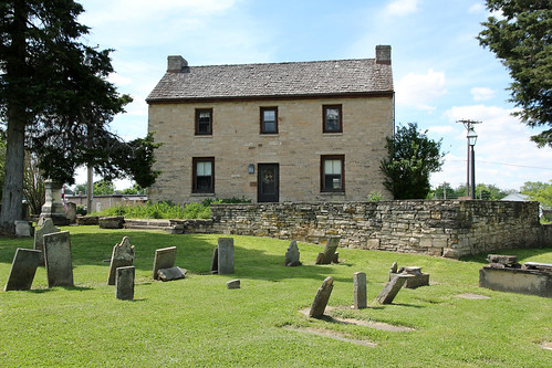
Rear, Travelers' Rest — Greenfield, Ohio
Fall Foliage
geotagged geo:lat=393517236666671 geo:lon=833874336666676
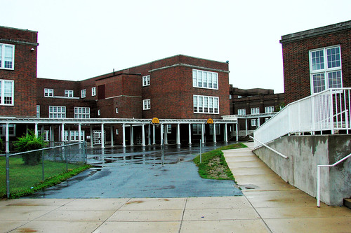
McClain High School 1
usafmuseum daytonohio seipmound
Eeny Oony Wana! Eeny Oony Wana!
ohio hopewellculturenationalhistoricpark seipearthworks
Hopewell Culture NHP, OH
ohio hopewellculturenationalhistoricpark seipearthworks
Hopewell Culture NHP, OH
county trees ohio house mountain field clouds forest fence landscape ross farm hill historic relief residence bainbridge topographic slope township paxton dwelling
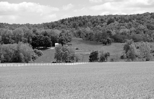
Farm — Paxton Township, Ross County, Ohio
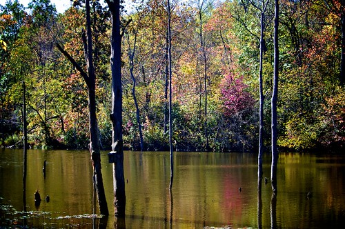
trees ohio two fall water fog docks reflections pikecounty pikelake ohiofoothills tammygrooms
"Reflections"
ohio hopewellculturenationalhistoricpark seipearthworks
Hopewell Culture NHP, OH
ohio hopewellculturenationalhistoricpark seipearthworks
Hopewell Culture NHP, OH
ohio hopewellculturenationalhistoricpark seipearthworks
Hopewell Culture NHP, OH
ohio hopewellculturenationalhistoricpark seipearthworks
Hopewell Culture NHP, OH
landscape farmland scenic ohio unitedstates us pleasant cynthiana pikecounty road perrytownship trees cables wires utilitypoles clouds forest hills valley stateroute41
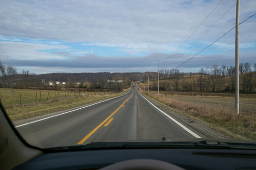
Landscape — Perry Township, Pike County, Ohio