Elevation of Easterday Rd, Chillicothe, OH, USA
Location: United States > Ohio > Ross County > Huntington Township >
Longitude: -83.114684
Latitude: 39.218057
Elevation: 327m / 1073feet
Barometric Pressure: 97KPa
Elevation Map:
Satellite Map:
Related Photos:
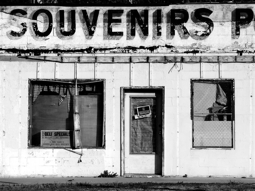
Souvenirs (B&W)
Buzzard's Roost Nature Preserve

1953 Lincoln Capri (2)
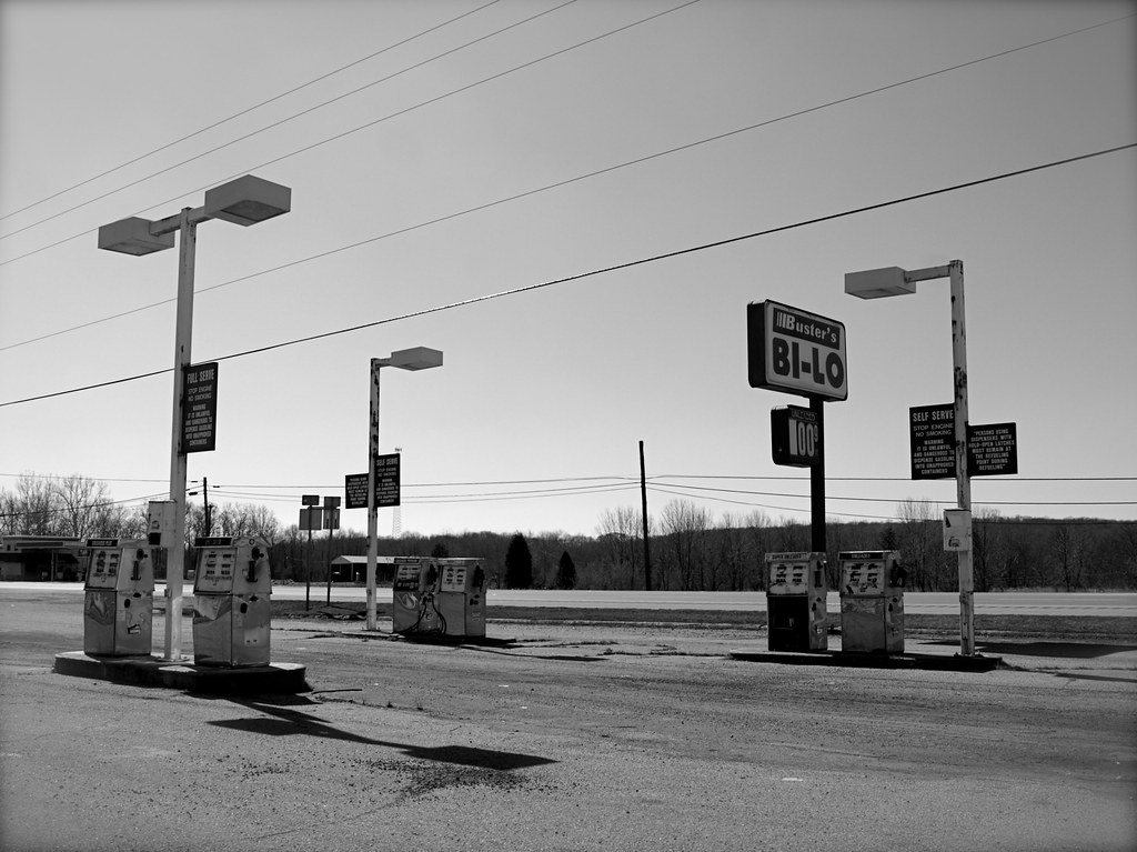
Abandoned Gas Station
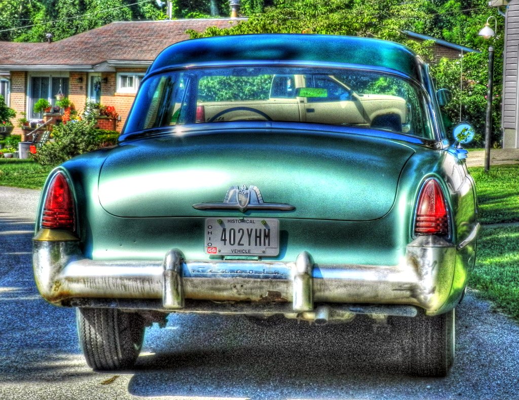
1953 Lincoln Capri

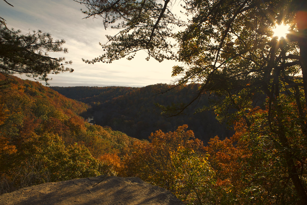
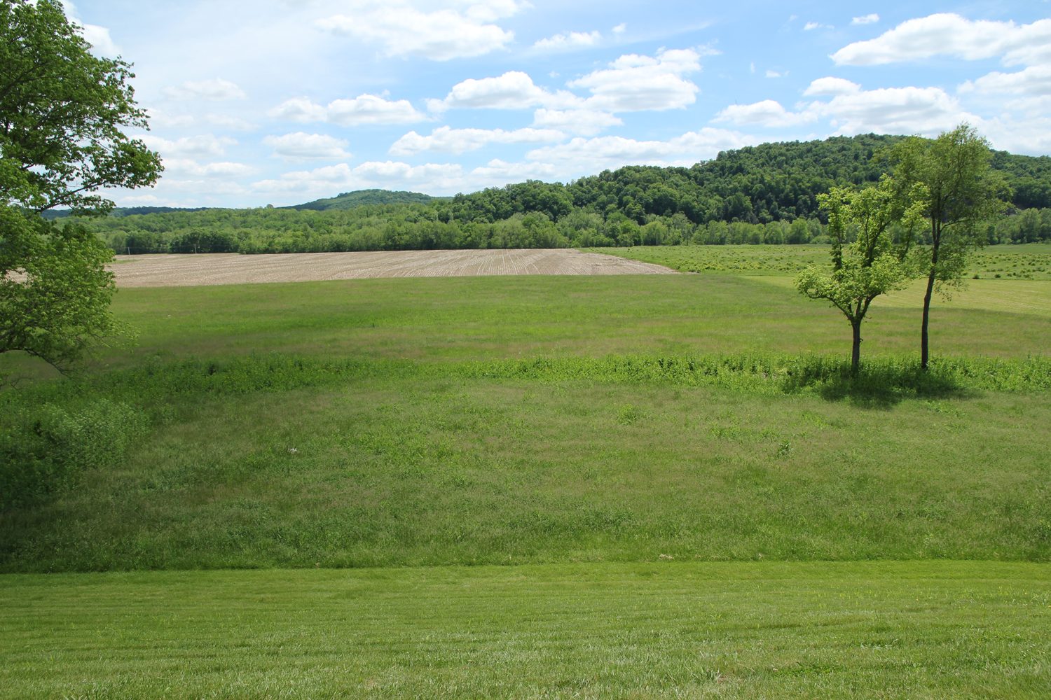
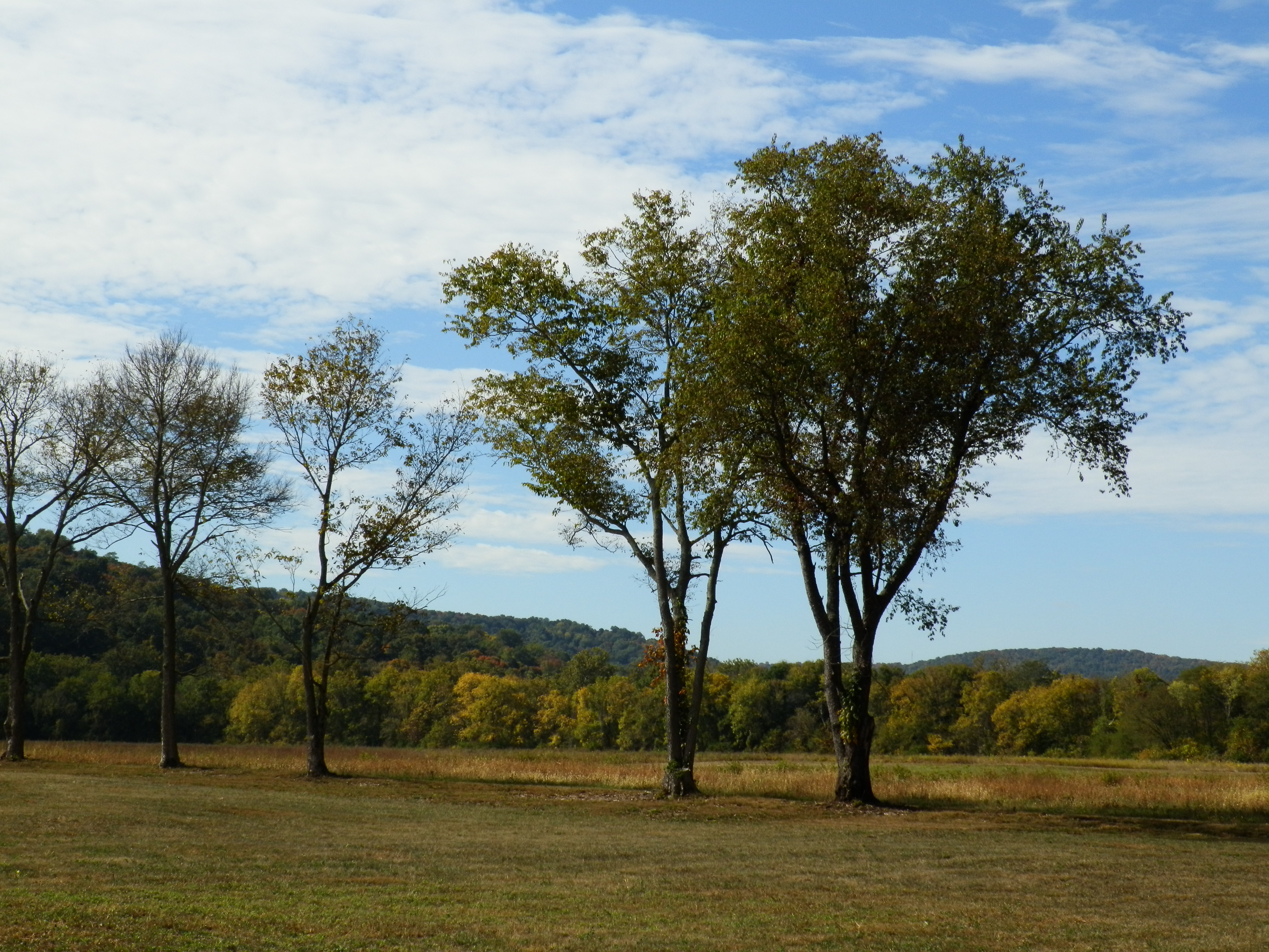
Scioto Valley Morning
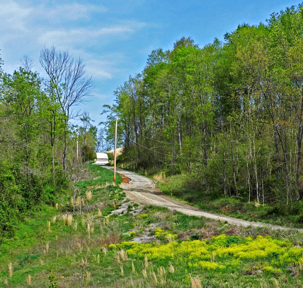
Long Driveway in Appalachia
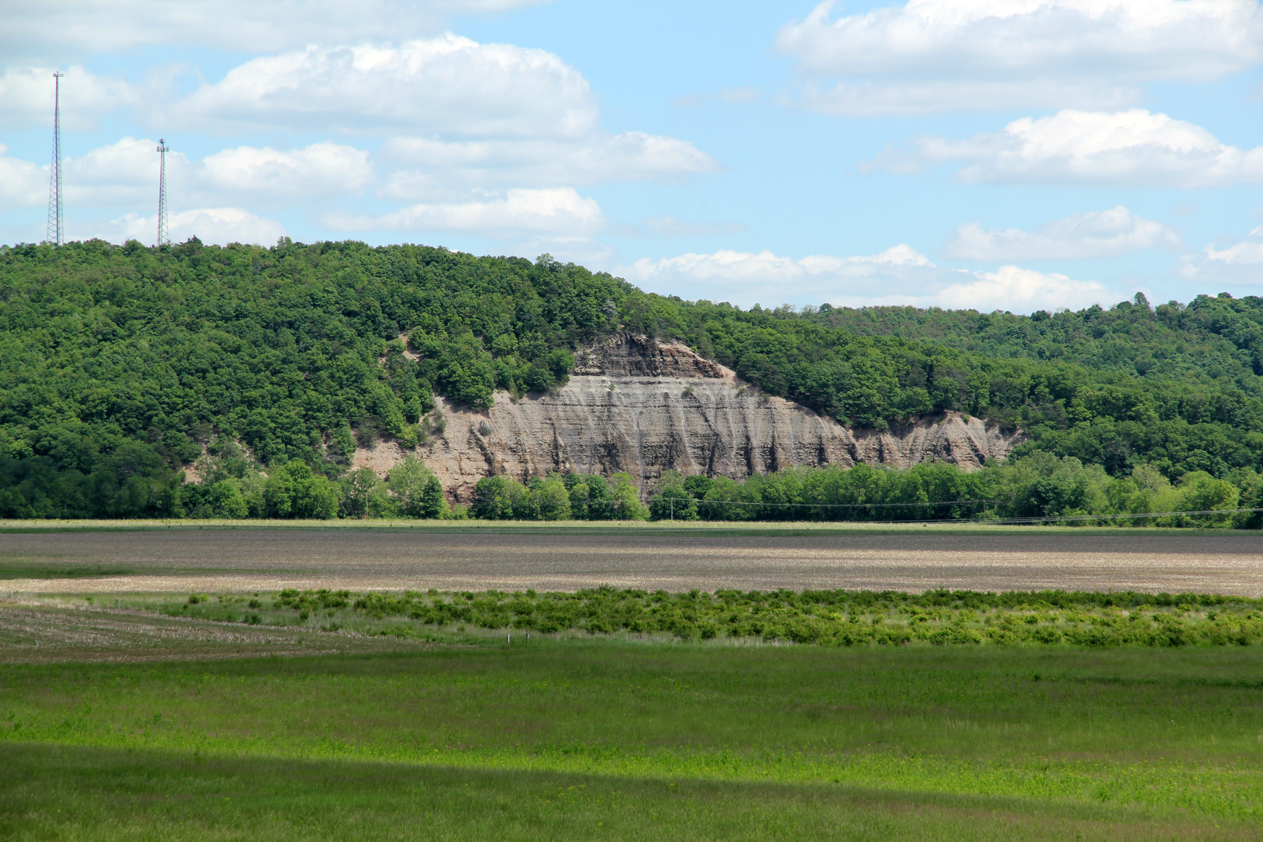
Cliff, Copperas Mountain — Twin Township, Ross County, OH
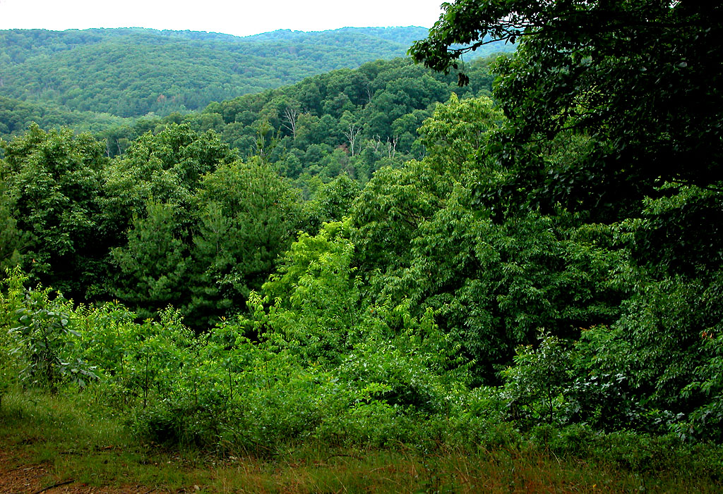
Paint Creek Valley, Looking Northeast — Bainbridge, OH

View From Grandview Cemetery, Looking Southeast — Chillicothe, OH

Rear, Christian Benner House — Paxton Township, Ross County, OH
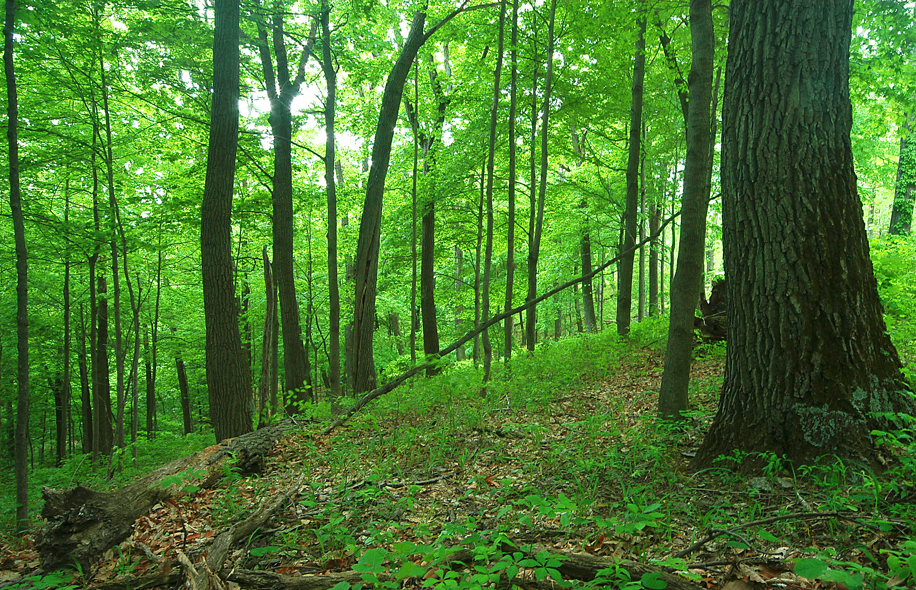
Scioto Trail State Forest
Paint Creek Valley, Looking North — Bainbridge, OH
Green/Green
Bainbridge, OH
Paint Creek Valley, Looking South — Bainbridge, OH
Pike Lake: Upward View in the Tree
more flood
the view
Technology and Nature
The View West

Tiger Swallowtail Butterfly
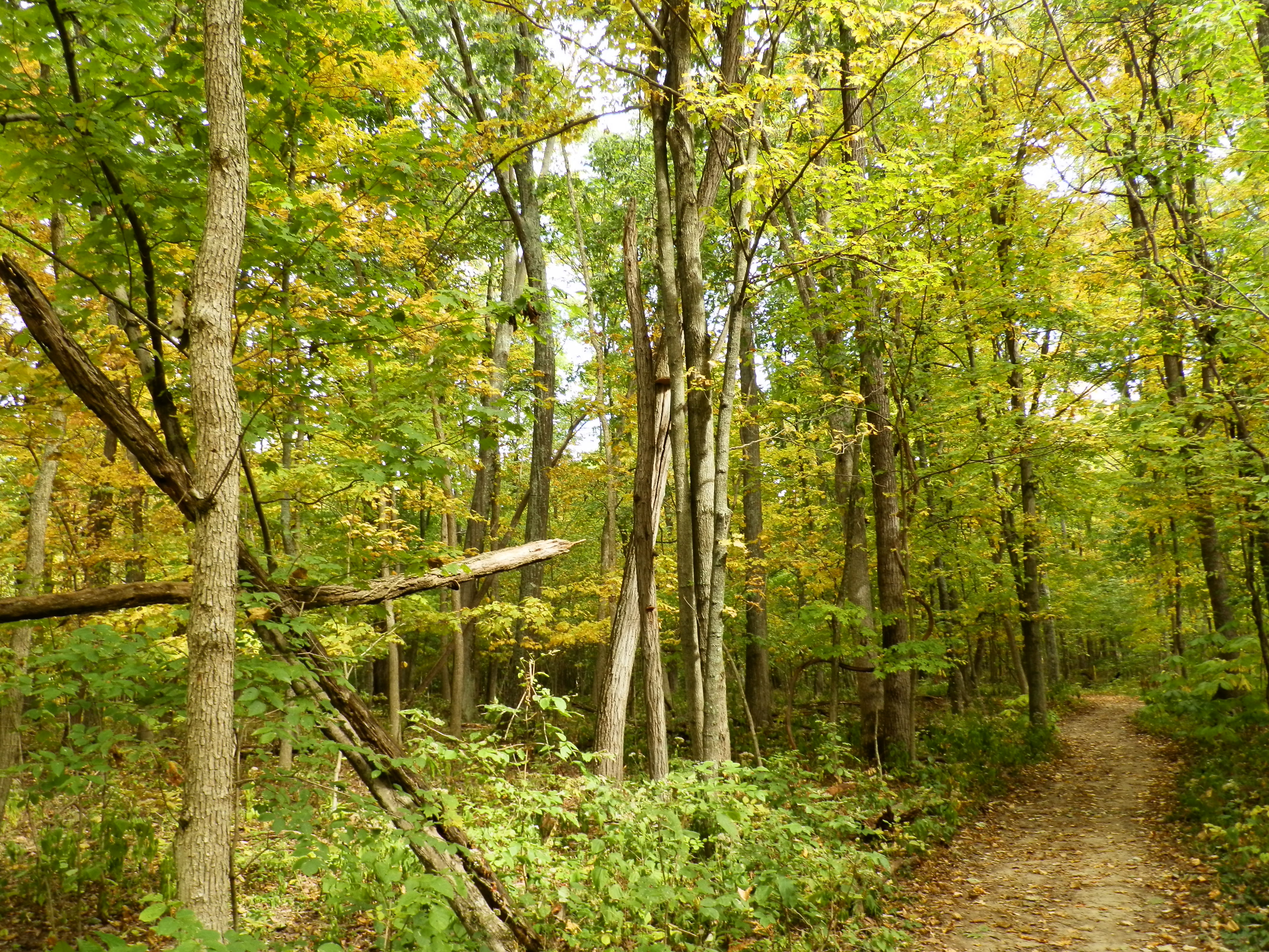
Fall Foliage
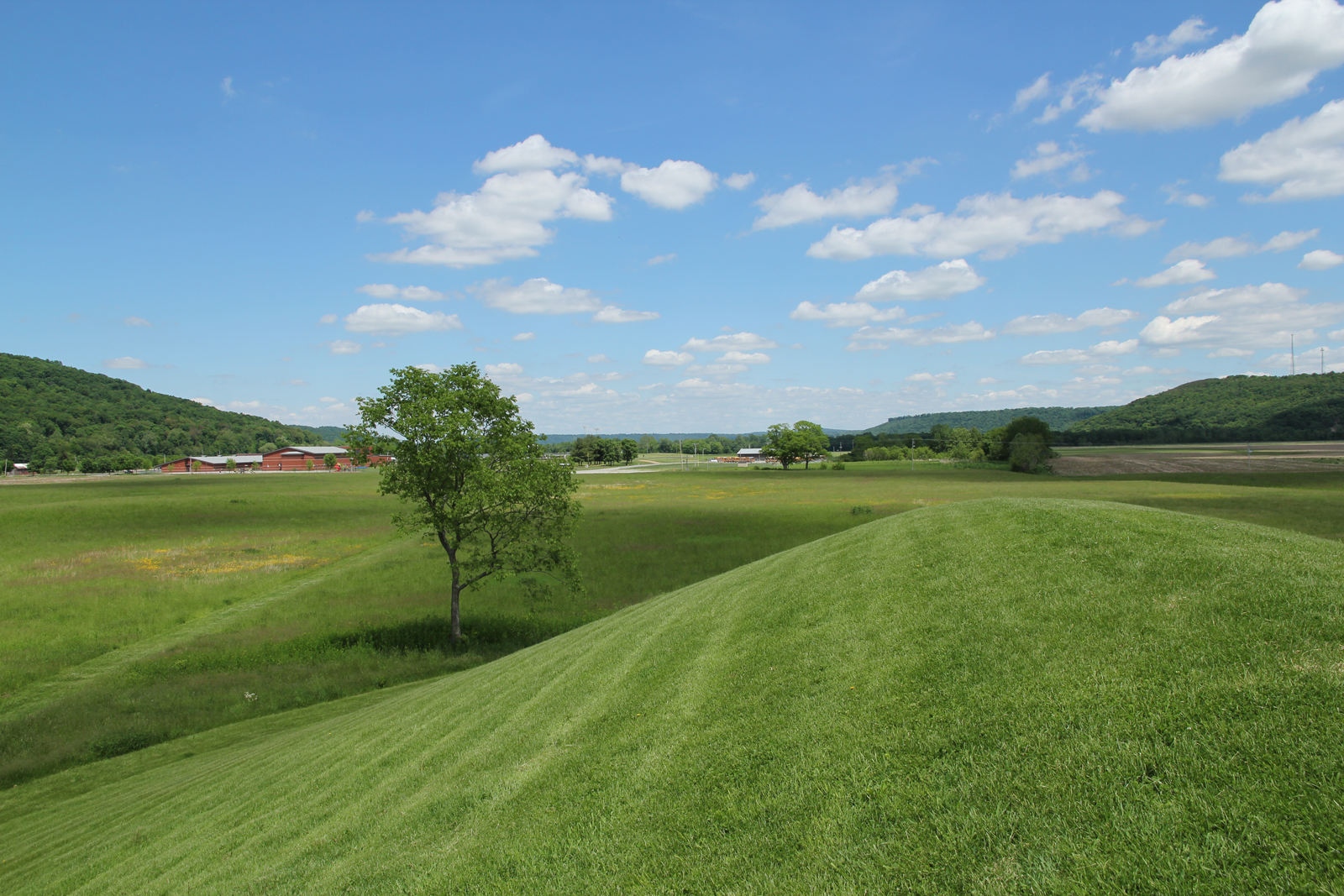
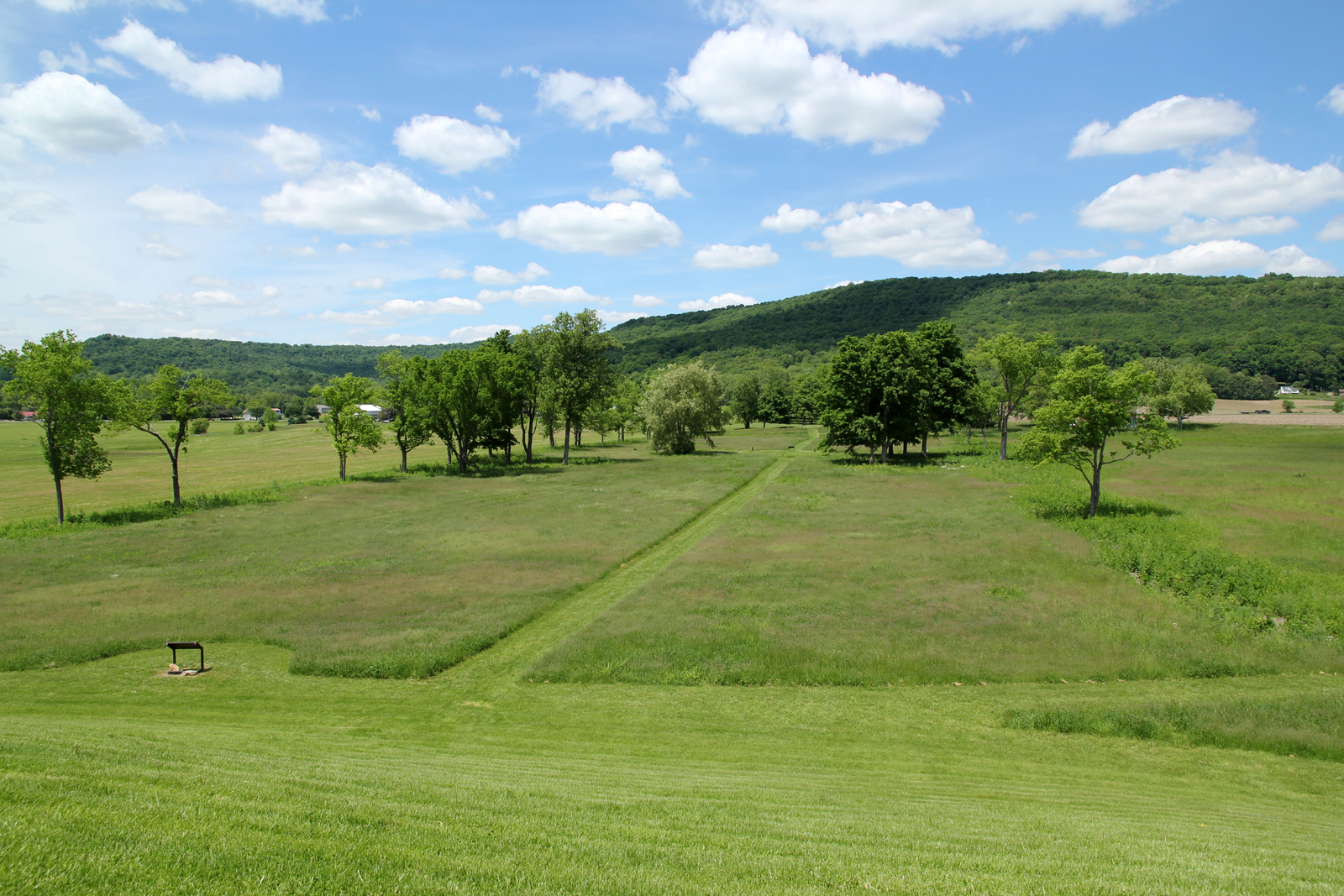
Hopewell Culture NHP, OH
Hopewell Culture NHP, OH
Hopewell Culture NHP, OH
Hopewell Culture NHP, OH
Hopewell Culture NHP, OH
Hopewell Culture NHP, OH
Hopewell Culture NHP, OH
Hopewell Culture NHP, OH
Quiet Day At The Lake
Hopewell Culture NHP, OH
Hopewell Culture NHP, OH

Backside of Seip Mound
Hopewell Culture NHP, OH
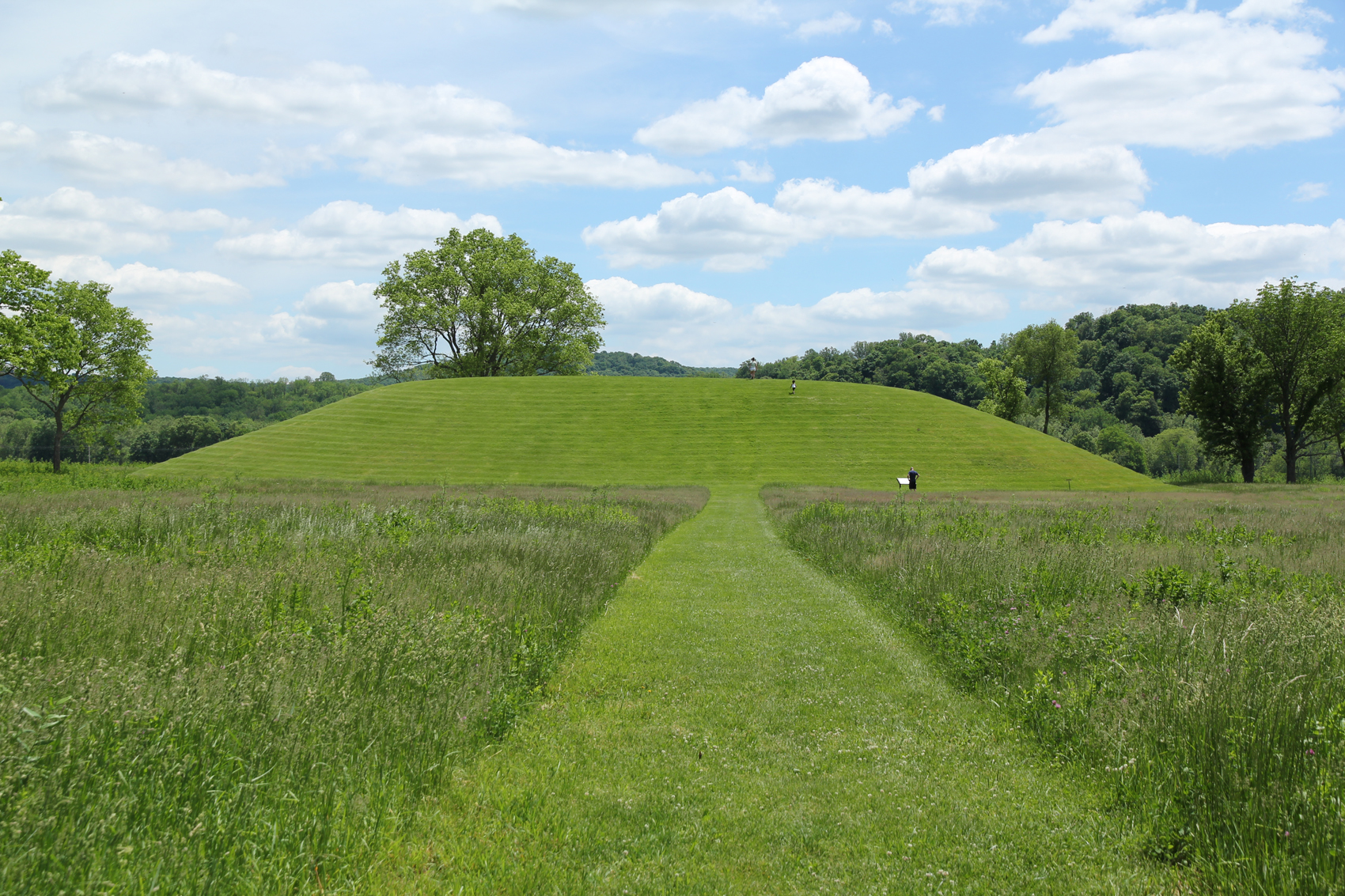
Seip Mound — Bainbridge, OH
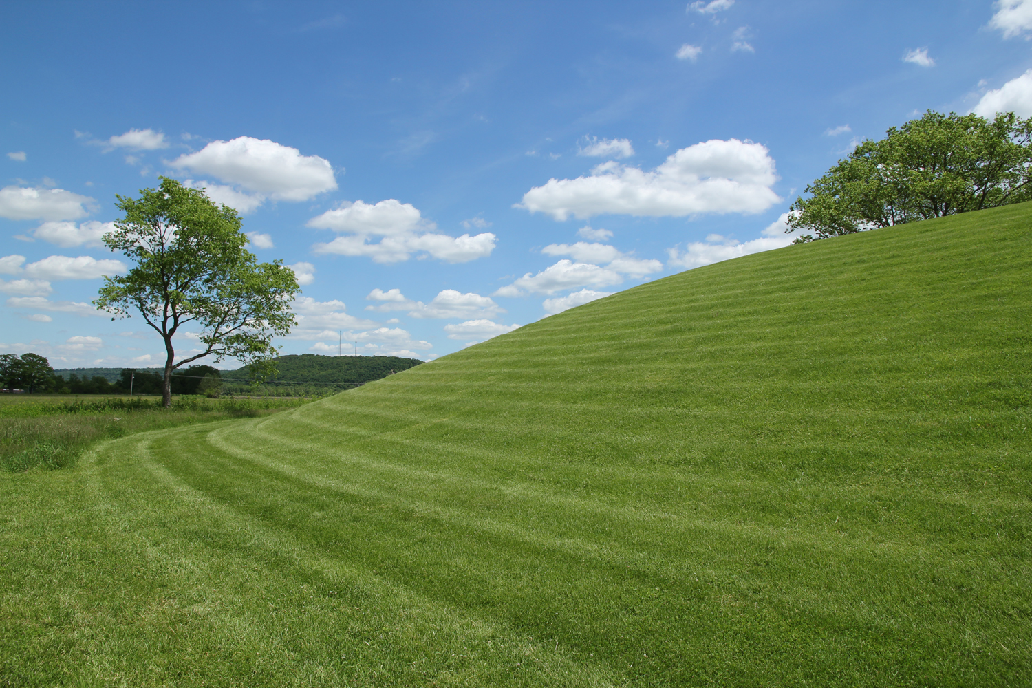
Seip Mound — Bainbridge, OH
Topographic Map of Easterday Rd, Chillicothe, OH, USA
Find elevation by address:

Places near Easterday Rd, Chillicothe, OH, USA:
Windy Ridge Road
864 Hartwood Rd
Black Run Rd, Chillicothe, OH, USA
5686 Blain Hwy
Huntington Township
Bourneville
US-50 Scenic, Bourneville, OH, USA
Twin Township
3825 Mingo Rd
Baptist Hill Road
Paxton Township
Trego Creek Road
10123 Lower Twin Rd
1023 N Malone Rd
20 N Fork Dr, Chillicothe, OH, USA
4790 Jester Hill Rd
552 Davis Hill Rd
3941 Maple Grove Rd
Bainbridge
550 Johnson Rd
Recent Searches:
- Elevation of Corso Fratelli Cairoli, 35, Macerata MC, Italy
- Elevation of Tallevast Rd, Sarasota, FL, USA
- Elevation of 4th St E, Sonoma, CA, USA
- Elevation of Black Hollow Rd, Pennsdale, PA, USA
- Elevation of Oakland Ave, Williamsport, PA, USA
- Elevation of Pedrógão Grande, Portugal
- Elevation of Klee Dr, Martinsburg, WV, USA
- Elevation of Via Roma, Pieranica CR, Italy
- Elevation of Tavkvetili Mountain, Georgia
- Elevation of Hartfords Bluff Cir, Mt Pleasant, SC, USA