Elevation of Paint Rock Rd, Hot Springs, NC, USA
Location: United States > North Carolina > Madison County > 6, Hot Springs > Hot Springs >
Longitude: -82.900980
Latitude: 35.9219163
Elevation: 448m / 1470feet
Barometric Pressure: 96KPa
Elevation Map:
Satellite Map:
Related Photos:

Very hazy view of Tenn from Max Patch

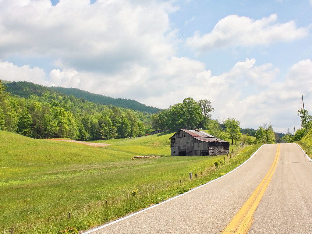
Rural Barn of Tennessee

max patch
a sweeping view

The Appalachian Trail

Celebrating the 4th of July

View of Tennessee from Max Patch Bald
Houston Valley

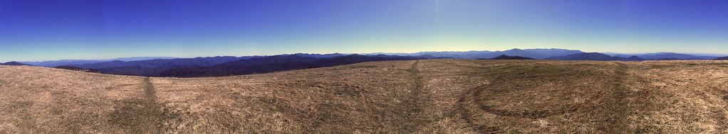
View From Max Patch

Max Patch

The Smokey Mountains

View from Meadow Creek Firetower

View of W4C/CM-110 Rich Mtn

View of W4T/SU-073 - Cliffy Benchmark

View from Max Patch

Meadow Creek Lookout Tower

View from Max Patch

Fall on Max Patch

max patch mayapple fields
MAX PATCH BALD

NC 209 Scenic View

123 along the French Broad

The Hike

Long walk up

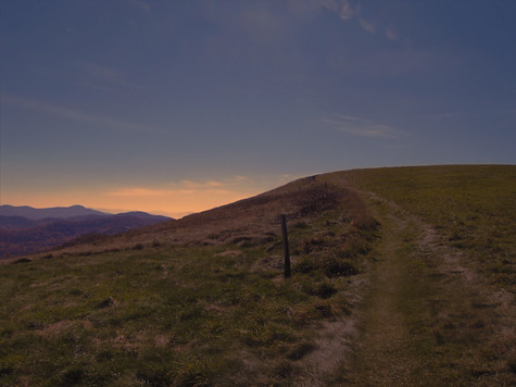
Almost Dusk

Max Patch Sunrise

Dudley Falls

Max Patch

Lake on Max Patch

the emerald city

Winter Stroll

On Max Patch Bald on the TN/NC state line.

Private Property on Summit of W4T/SU-075 - 3070
Topographic Map of Paint Rock Rd, Hot Springs, NC, USA
Find elevation by address:

Places near Paint Rock Rd, Hot Springs, NC, USA:
692 Paint Rock Rd
694 Paint Rock Rd
441 Rebel Dr
Paint Rock
Island Hollow Road
Lawson Lane
1012 Upper Shut In Rd
4215 Upper Shut In Rd
4215 Upper Shut In Rd
4215 Upper Shut In Rd
Paint Mountain
East Lawson Road
US-25, Del Rio, TN, USA
143 E Lawson Rd
Paint Mountain Road
6, Hot Springs
60 Stamey Dr
Gum Spring
Hot Springs Elementary School
3214 Lower Paint Creek Rd
Recent Searches:
- Elevation of Royal Ontario Museum, Queens Park, Toronto, ON M5S 2C6, Canada
- Elevation of Groblershoop, South Africa
- Elevation of Power Generation Enterprises | Industrial Diesel Generators, Oak Ave, Canyon Country, CA, USA
- Elevation of Chesaw Rd, Oroville, WA, USA
- Elevation of N, Mt Pleasant, UT, USA
- Elevation of 6 Rue Jules Ferry, Beausoleil, France
- Elevation of Sattva Horizon, 4JC6+G9P, Vinayak Nagar, Kattigenahalli, Bengaluru, Karnataka, India
- Elevation of Great Brook Sports, Gold Star Hwy, Groton, CT, USA
- Elevation of 10 Mountain Laurels Dr, Nashua, NH, USA
- Elevation of 16 Gilboa Ln, Nashua, NH, USA