Elevation of Gum Spring, Tennessee, USA
Location: United States > Tennessee > Greene County > Greeneville >
Longitude: -82.953204
Latitude: 35.971768
Elevation: 714m / 2343feet
Barometric Pressure: 93KPa
Elevation Map:
Satellite Map:
Related Photos:

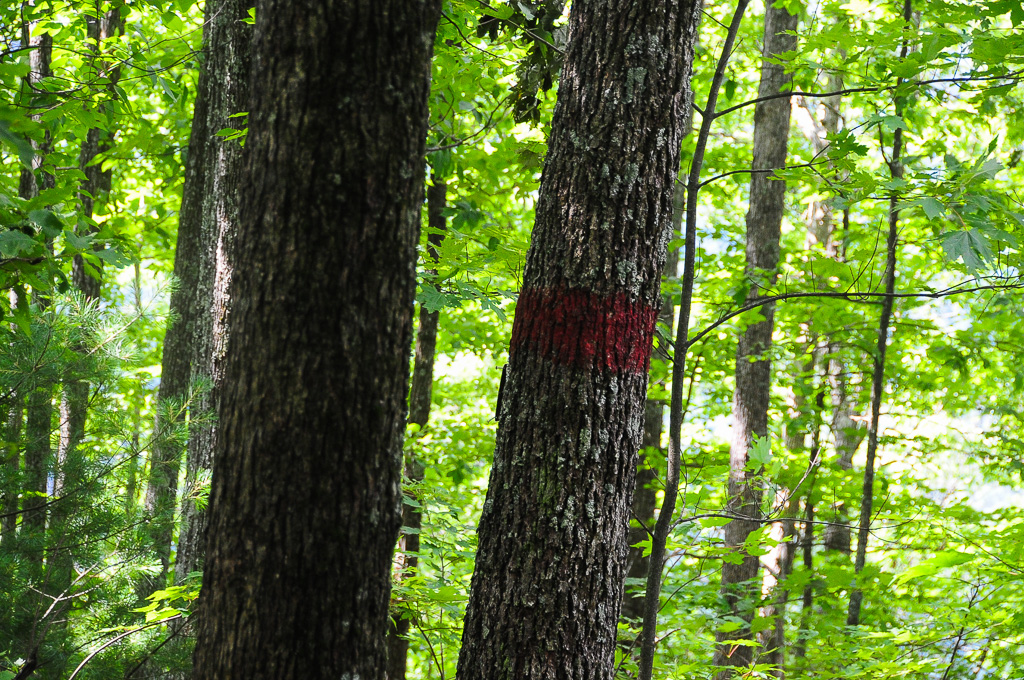
Rural Barn of Tennessee
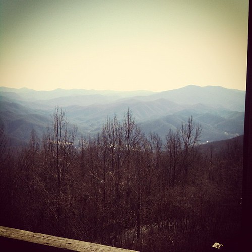
View from Max Patch
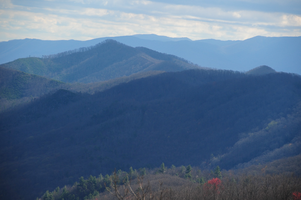
View from Meadow Creek Firetower
MAX PATCH BALD

View from Meadow Creek Firetower

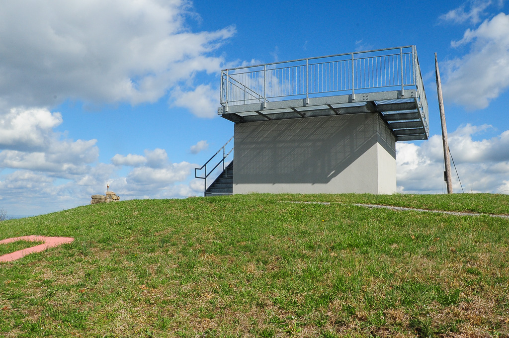
Meadow Creek Lookout Tower
Meadow Creek Lookout Tower

Meadow Creek Lookout Tower

Celebrating the 4th of July

Max Patch

The Smokey Mountains

View from Max Patch

IMG_1838_tonemapped-2

The Appalachian Trail

tracks & mountains

View from Meadow Creek Firetower

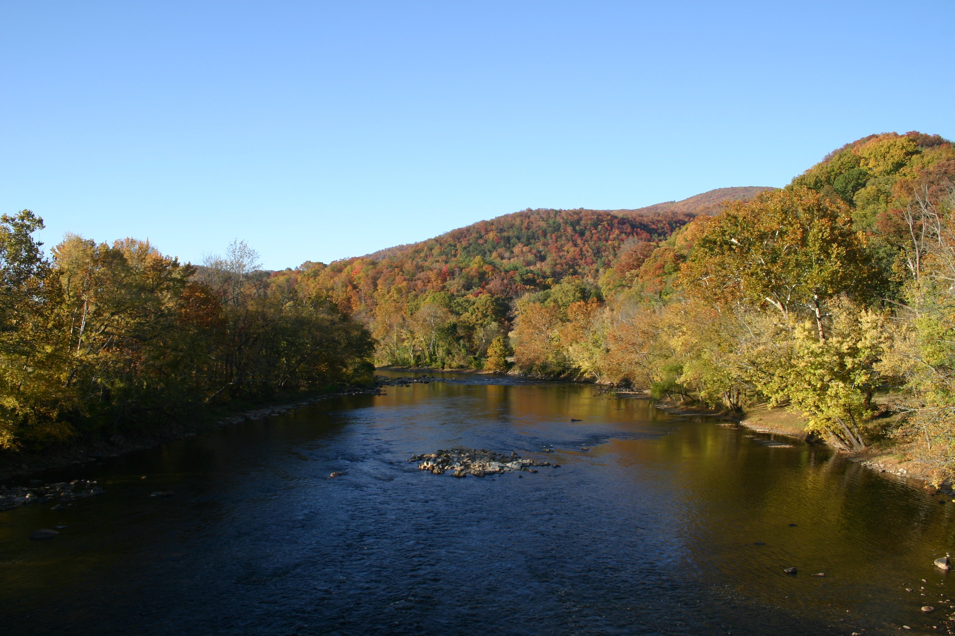
Houston Valley
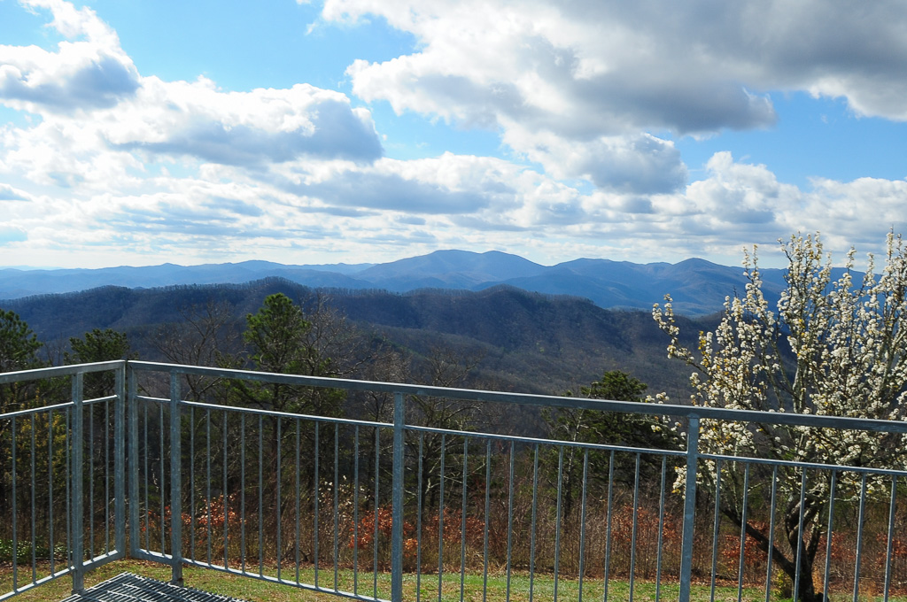
View from Meadow Creek Firetower
View from the Rich Mountain lookout tower
View from Meadow Creek Firetower
View of W4T/SU-073 - Cliffy Benchmark

Still a few years left in the old barn

Little Barn

One Less Window

Fence Line

Sun Setting On A Forgotten Homested

Another Farm Going Fallow

Spring Across the Valley

Fence Still Working

Pilot Knob Road
Private Property on Summit of W4T/SU-075 - 3070

Hot Srings Oct 08 296

Parrottsville Country
Hot Srings Oct 08 242
Hot Srings Oct 08 240
Paint Creek under starlight

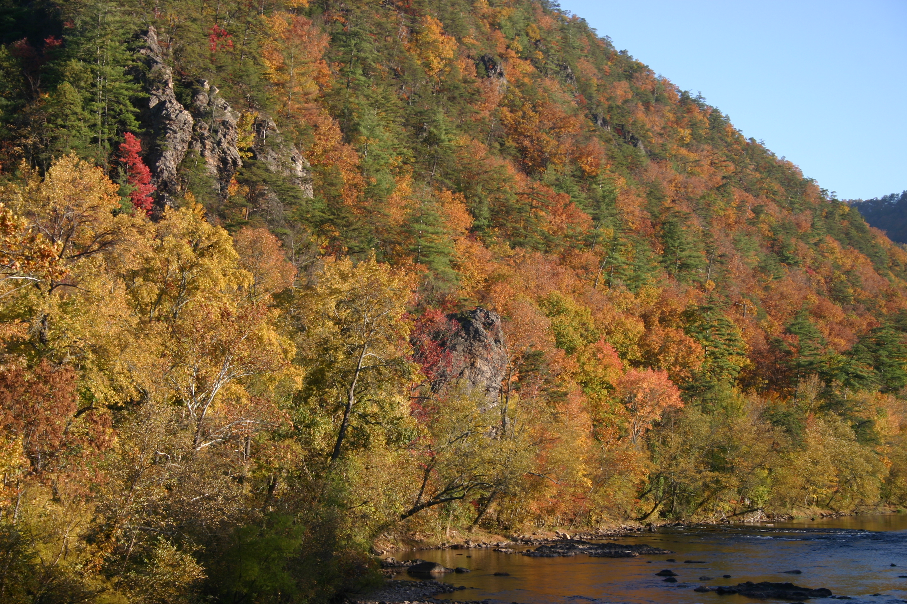
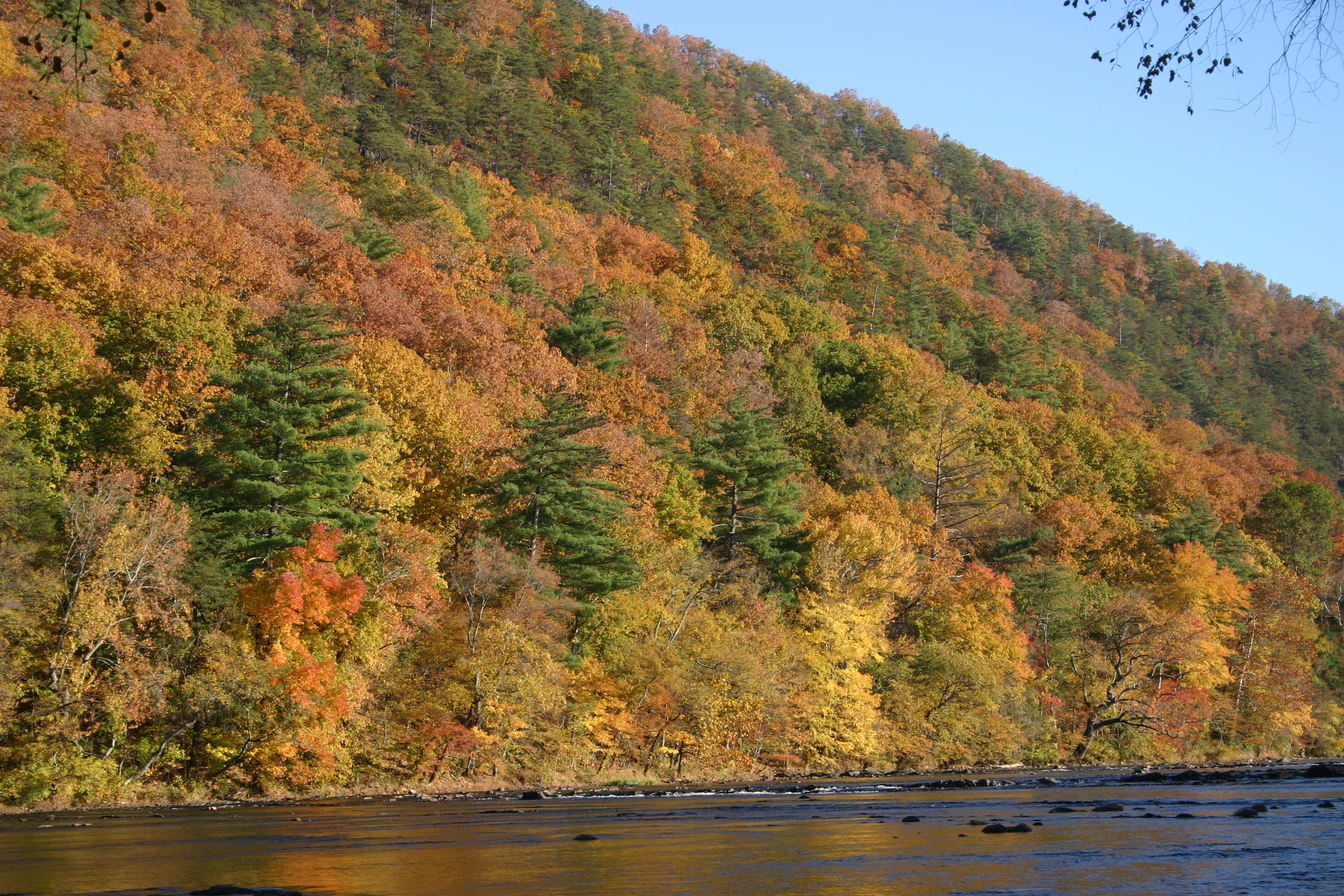
Fall in the valley
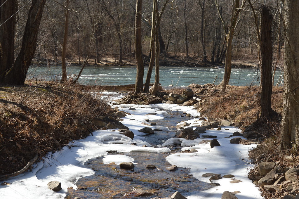
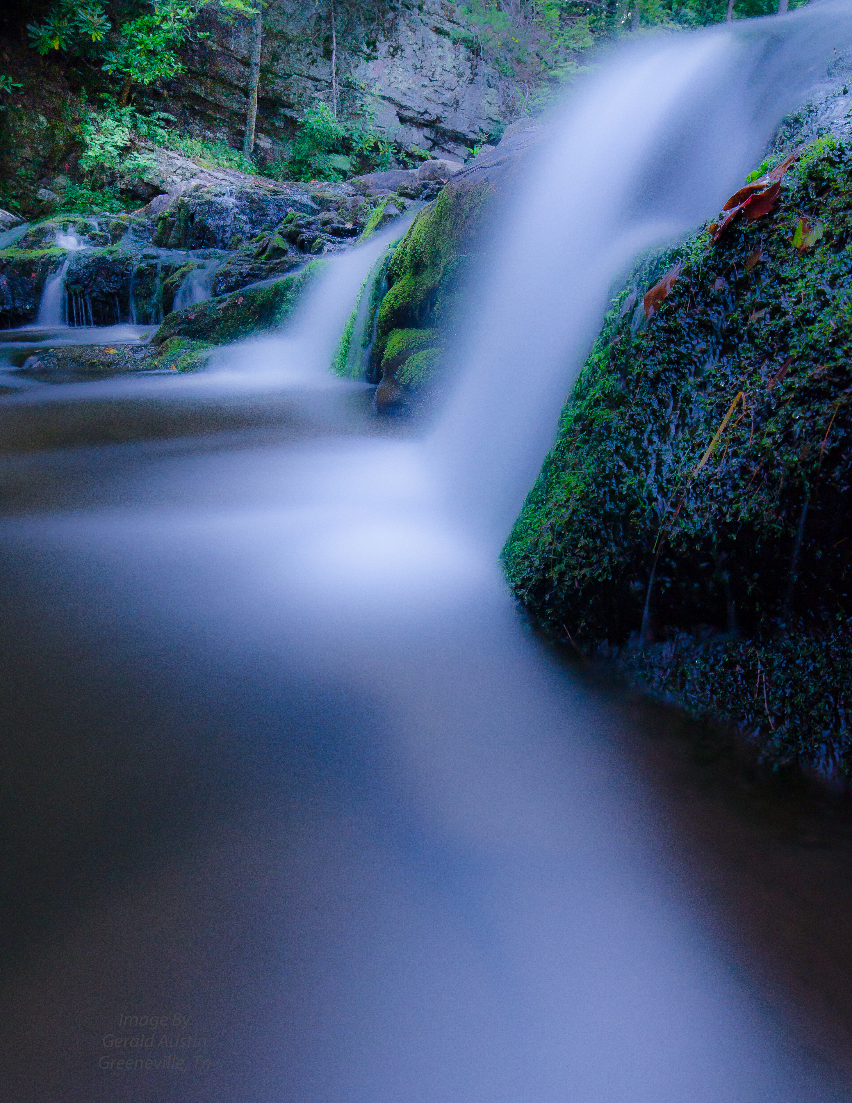
Snowy Creek

French Broad River and Hot Springs, North Carolina from Lover's Leap on the Appalachian Trail.
Hot Srings Oct 08 236
Topographic Map of Gum Spring, Tennessee, USA
Find elevation by address:

Places near Gum Spring, Tennessee, USA:
2202 Olivet Mountain Rd
US-25, Del Rio, TN, USA
Paint Mountain
560 Cocke County Rd
660 Cocke County Rd
Paint Mountain Road
2123 Paint Rock Rd
Cedar Creek
692 Paint Rock Rd
694 Paint Rock Rd
441 Rebel Dr
Paint Rock
Island Hollow Road
3735 Houston Valley Rd
3214 Lower Paint Creek Rd
240 Joe Pye Ln
3505 Houston Valley Rd
1000 Wild Turkey Ln
Lawson Lane
1360 Lower Paint Creek Rd
Recent Searches:
- Elevation of Royal Ontario Museum, Queens Park, Toronto, ON M5S 2C6, Canada
- Elevation of Groblershoop, South Africa
- Elevation of Power Generation Enterprises | Industrial Diesel Generators, Oak Ave, Canyon Country, CA, USA
- Elevation of Chesaw Rd, Oroville, WA, USA
- Elevation of N, Mt Pleasant, UT, USA
- Elevation of 6 Rue Jules Ferry, Beausoleil, France
- Elevation of Sattva Horizon, 4JC6+G9P, Vinayak Nagar, Kattigenahalli, Bengaluru, Karnataka, India
- Elevation of Great Brook Sports, Gold Star Hwy, Groton, CT, USA
- Elevation of 10 Mountain Laurels Dr, Nashua, NH, USA
- Elevation of 16 Gilboa Ln, Nashua, NH, USA