Elevation of Cocke County Rd, Greeneville, TN, USA
Location: United States > Tennessee > Greene County > Greeneville >
Longitude: -82.96099
Latitude: 36.025531
Elevation: 446m / 1463feet
Barometric Pressure: 96KPa
Elevation Map:
Satellite Map:
Related Photos:

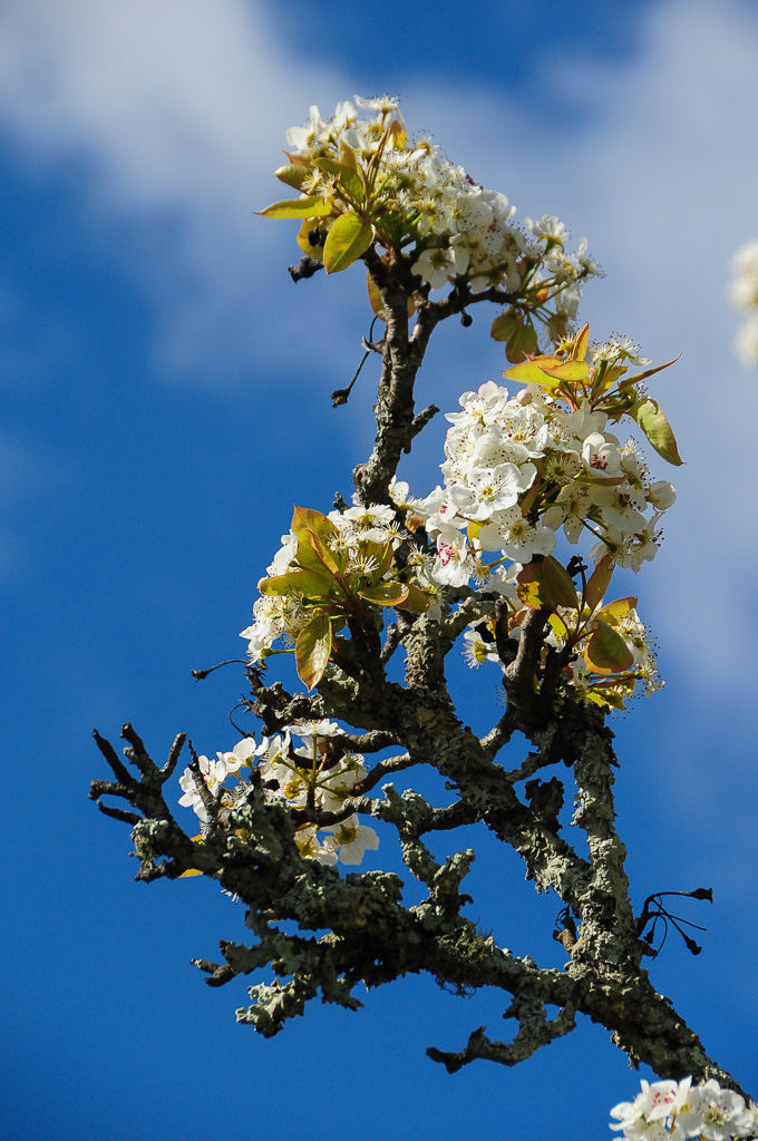
Rural Barn of Tennessee

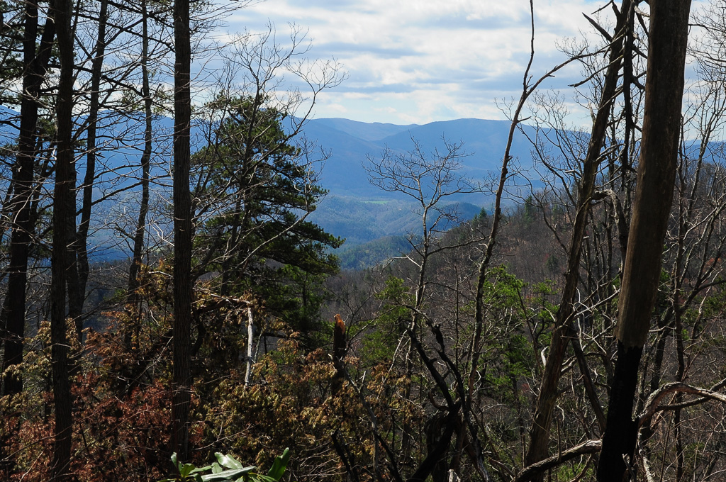
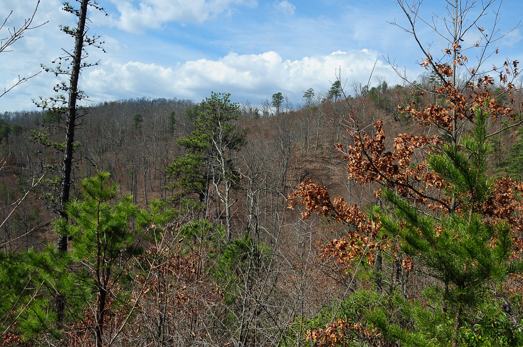
View from Meadow Creek Firetower

View from Meadow Creek Firetower

Houston Valley
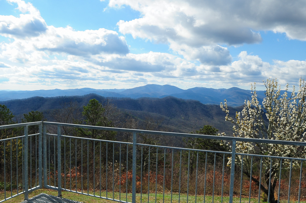
View from Meadow Creek Firetower
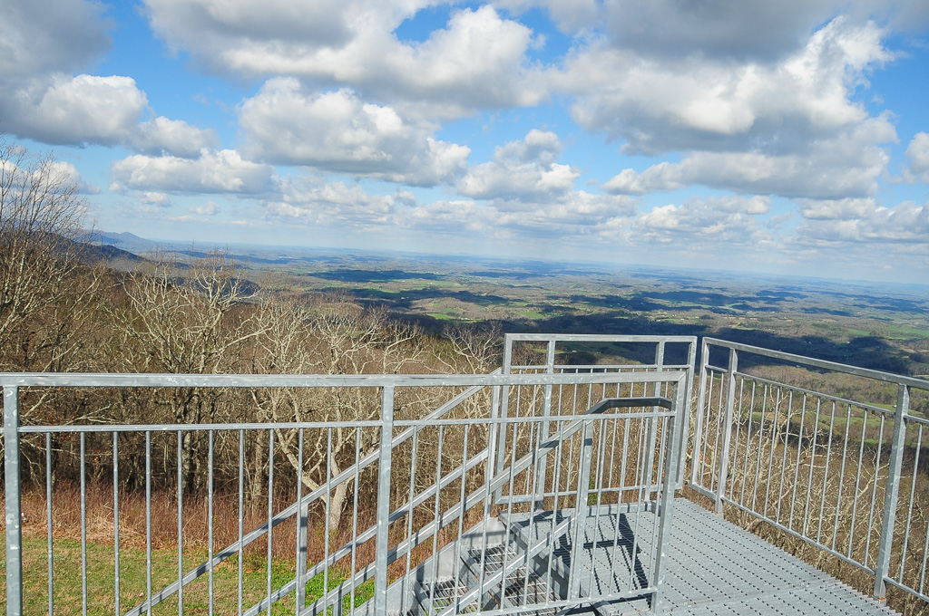
View from Meadow Creek Firetower
View from Meadow Creek Firetower
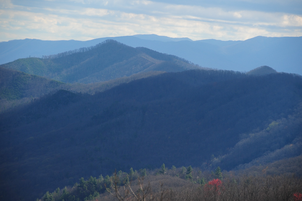
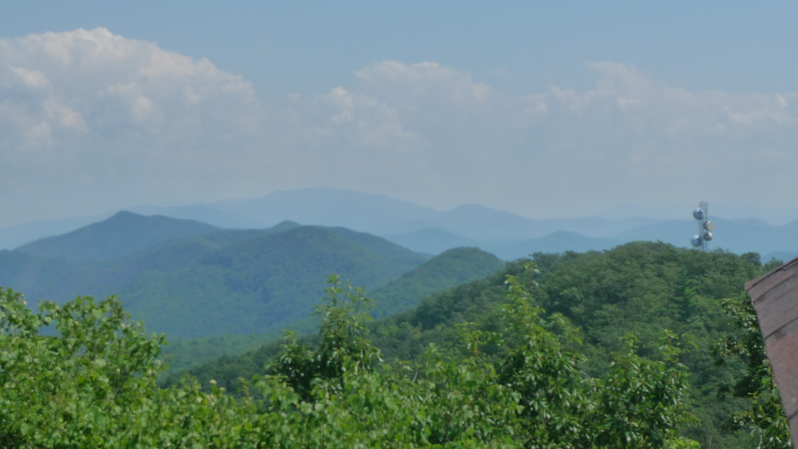
View of W4T/SU-073 - Cliffy Benchmark

View of Cliffy Benchmark Ridgeline from Meadow Creek Firetower

W4T/SU-073 - Cliffy Benchmark View
View from Meadow Creek Firetower
Trail View from W4T/SU-073 - Cliffy Benchmark
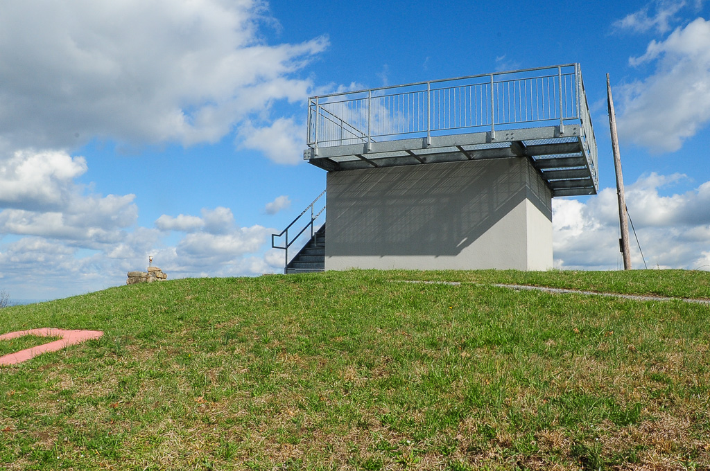
View from Meadow Creek Lookout
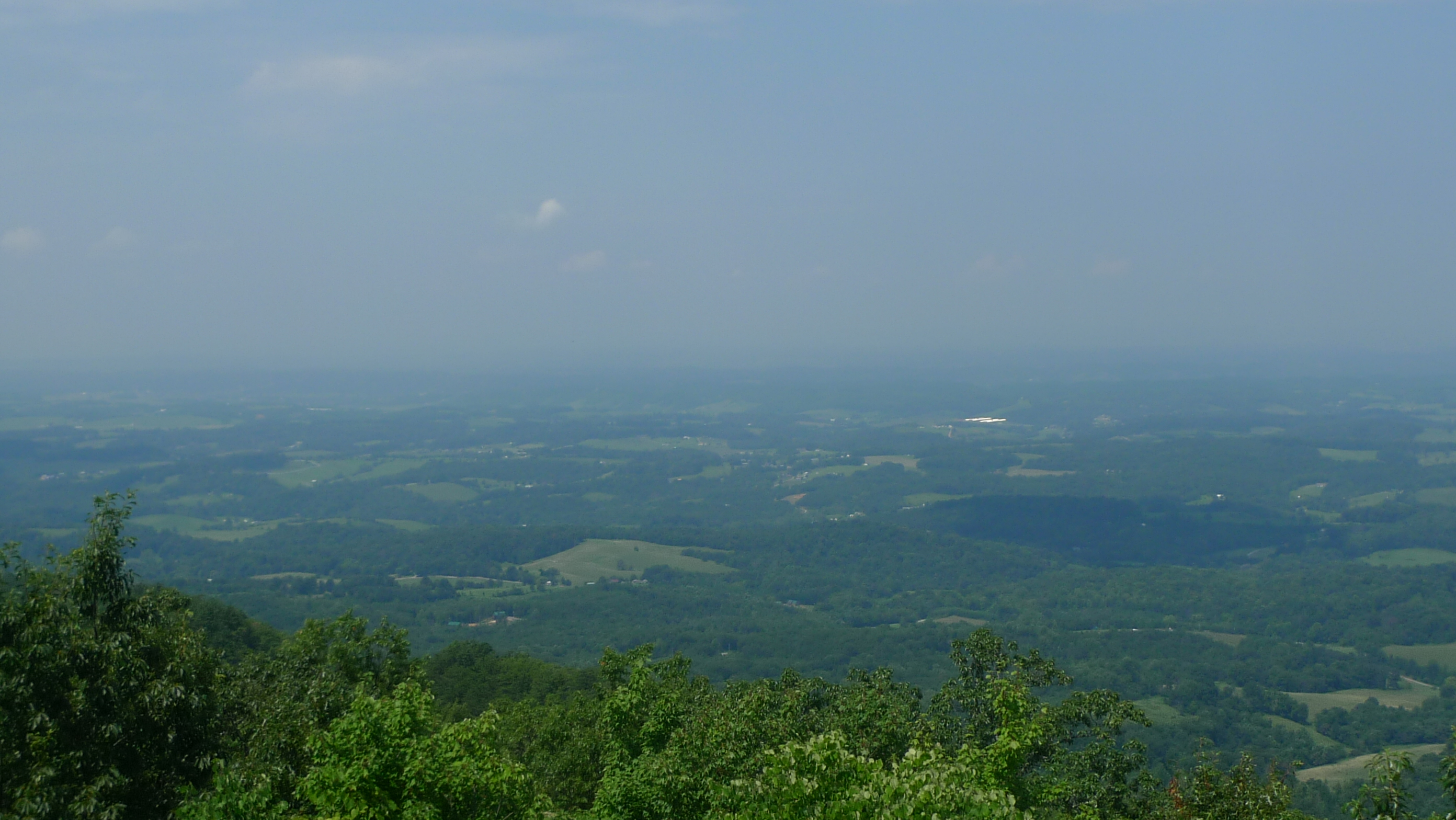
View to North from Meadow Creek Lookout

View from Meadow Creek Firetower
View of W4T/SU-095 - Paint Mtn from Trail

View from Trail to W4T/SU-095 - Paint Mtn
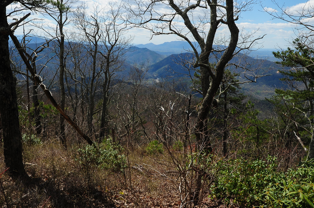
W4T/SU-073 - Cliffy Benchmark View

Trail Intersection heading to W4T/SU-095 - Paint Mtn

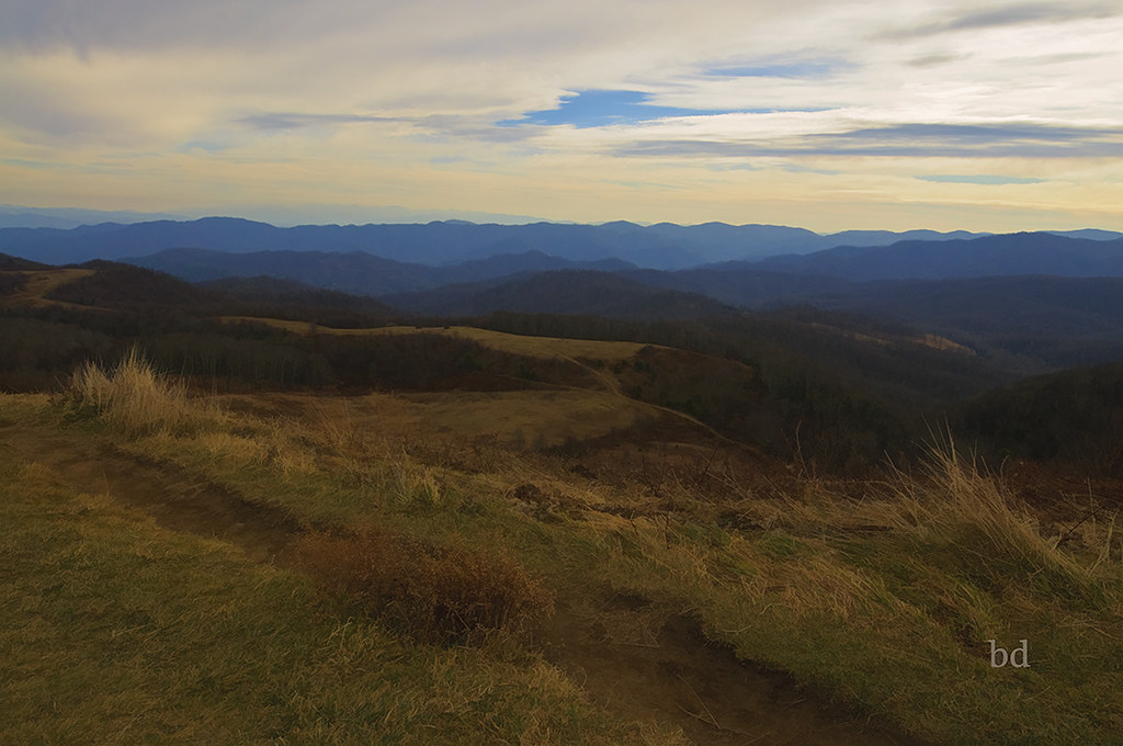
Sunrise over the hill

Past Time 2

Sunrise on Parton Loop

Dawn Breaks

Past Time

Cabin on the Lake

Little Barn

Fence Still Working

Into the Forest

One Less Window

Clearing Skies

Fence Line

Sun Setting On A Forgotten Homested

Spring Across the Valley

Pilot Knob Road
Max Patch - North Carolina - Appalachain Trail
Topographic Map of Cocke County Rd, Greeneville, TN, USA
Find elevation by address:

Places near Cocke County Rd, Greeneville, TN, USA:
660 Cocke County Rd
2202 Olivet Mountain Rd
Gum Spring
Cedar Creek
Paint Mountain
Paint Mountain Road
US-25, Del Rio, TN, USA
3735 Houston Valley Rd
255 Houston Valley Rd
3505 Houston Valley Rd
1000 Wild Turkey Ln
3214 Lower Paint Creek Rd
240 Joe Pye Ln
Paint Rock
441 Rebel Dr
692 Paint Rock Rd
694 Paint Rock Rd
2123 Paint Rock Rd
1360 Lower Paint Creek Rd
900 Rollins Chapel Rd
Recent Searches:
- Elevation of Tenjo, Cundinamarca, Colombia
- Elevation of Côte-des-Neiges, Montreal, QC H4A 3J6, Canada
- Elevation of Bobcat Dr, Helena, MT, USA
- Elevation of Zu den Ihlowbergen, Althüttendorf, Germany
- Elevation of Badaber, Peshawar, Khyber Pakhtunkhwa, Pakistan
- Elevation of SE Heron Loop, Lincoln City, OR, USA
- Elevation of Slanický ostrov, 01 Námestovo, Slovakia
- Elevation of Spaceport America, Co Rd A, Truth or Consequences, NM, USA
- Elevation of Warwick, RI, USA
- Elevation of Fern Rd, Whitmore, CA, USA