Elevation of Hot Springs, NC, USA
Location: United States > North Carolina > Madison County > 6, Hot Springs >
Longitude: -82.829031
Latitude: 35.8923253
Elevation: 406m / 1332feet
Barometric Pressure: 97KPa
Elevation Map:
Satellite Map:
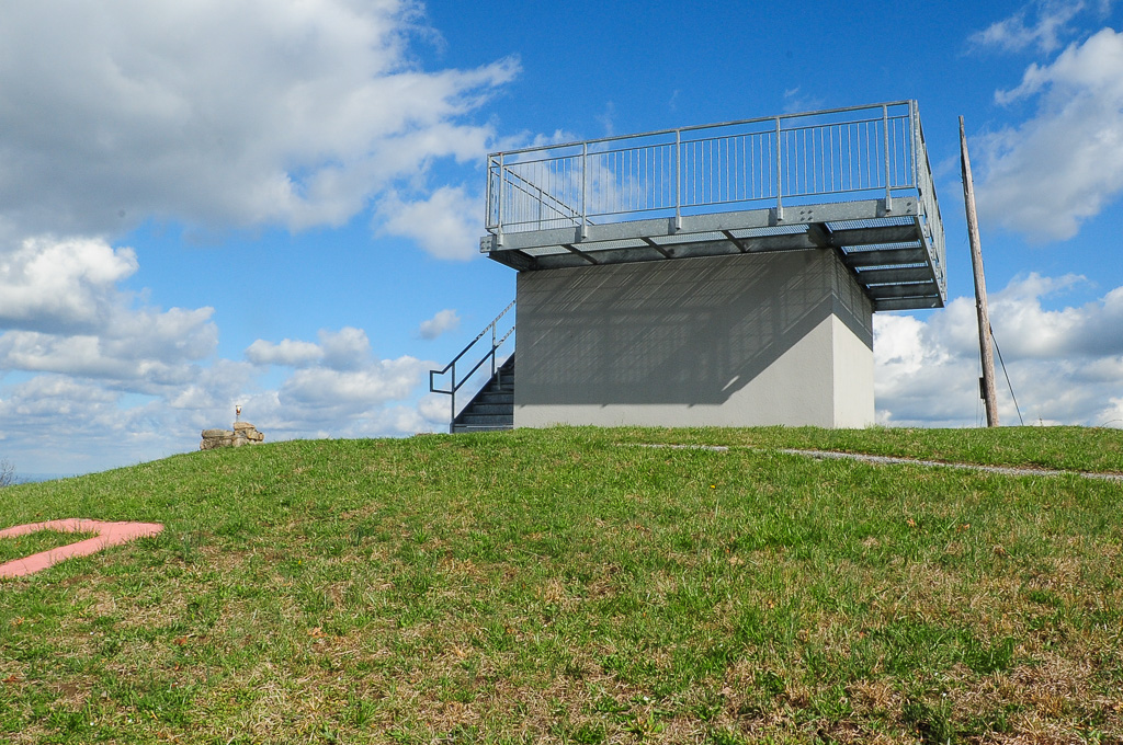
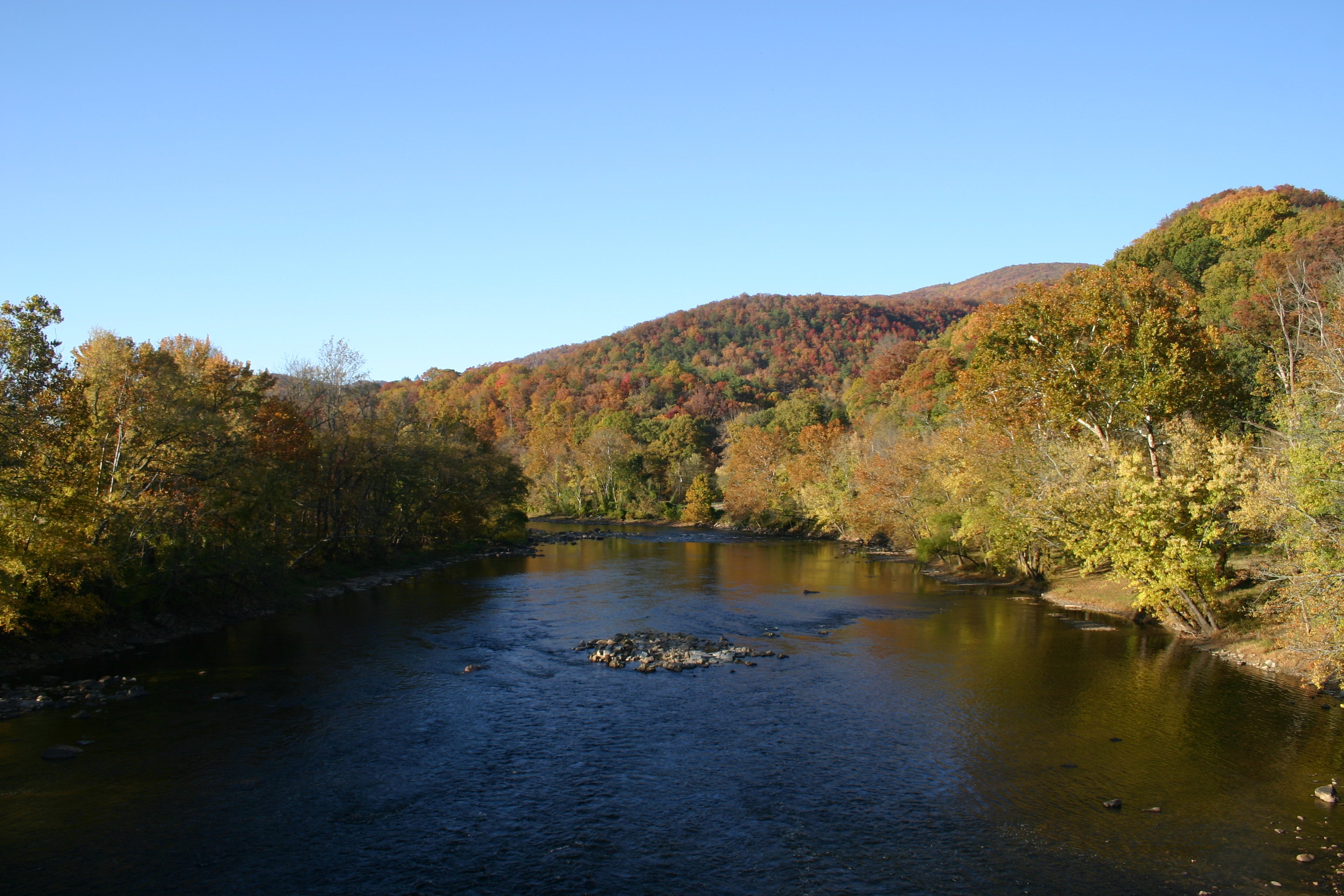
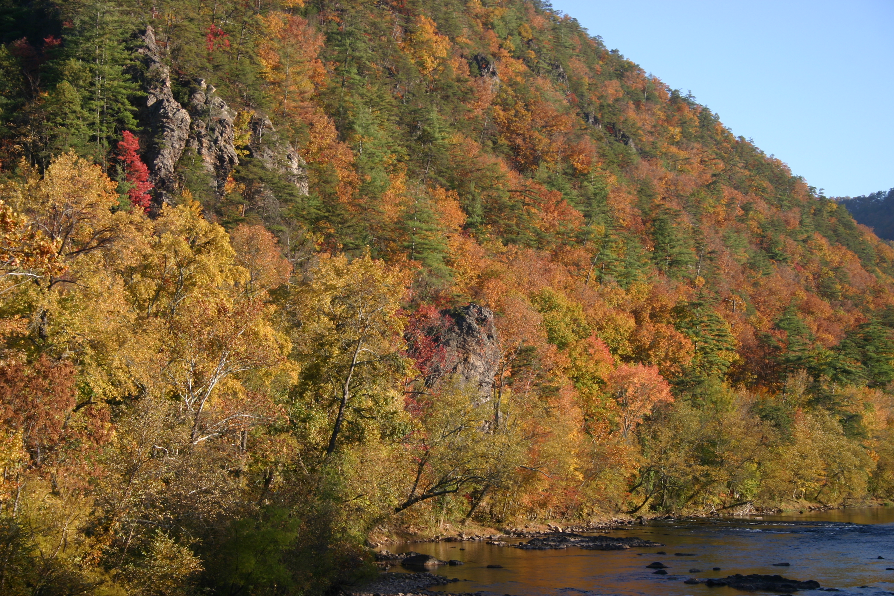
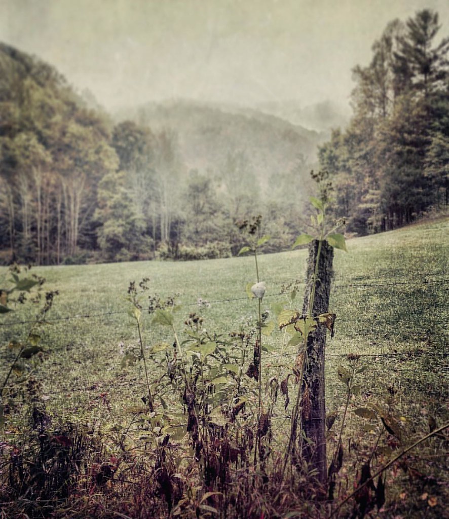
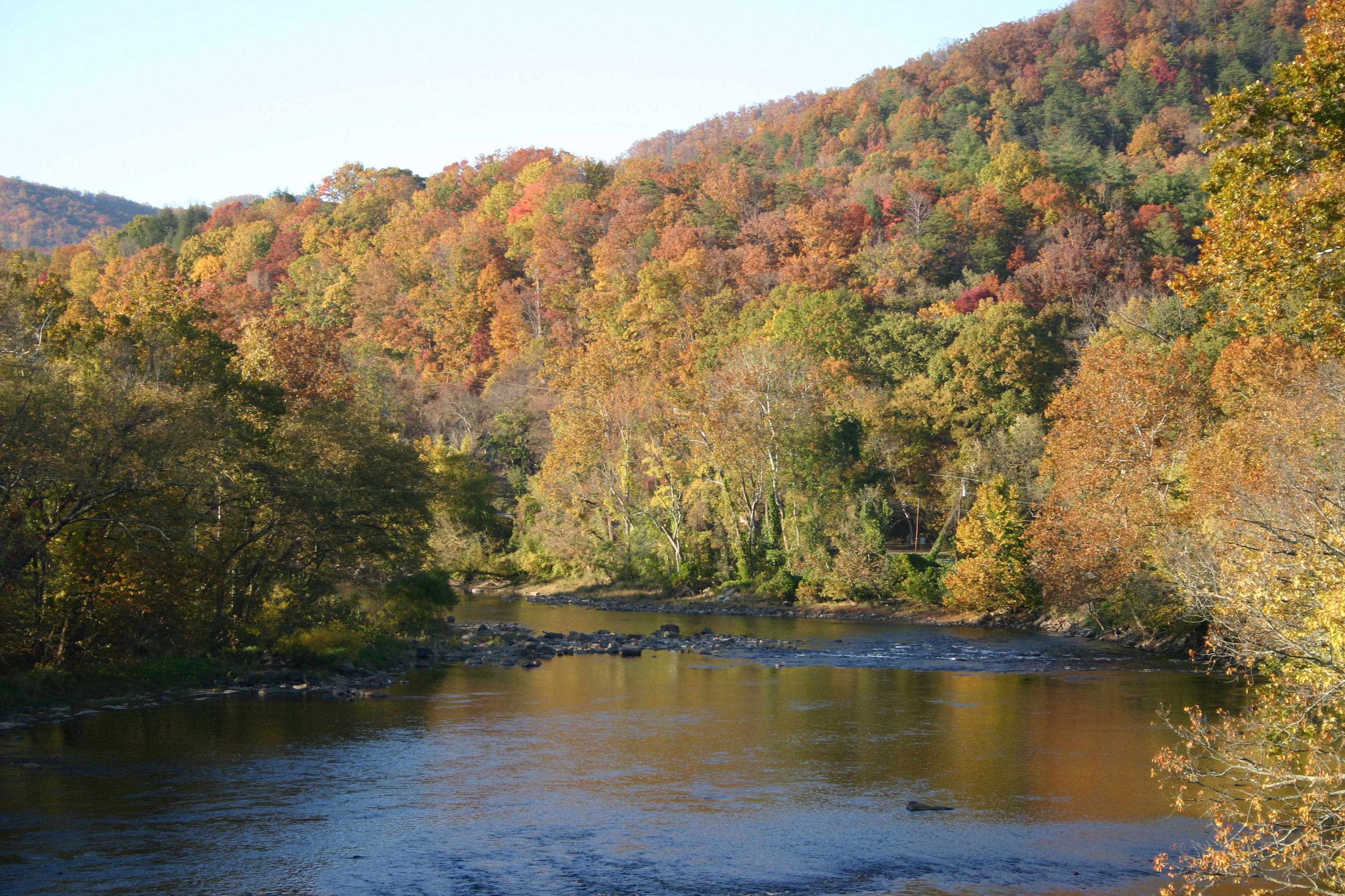
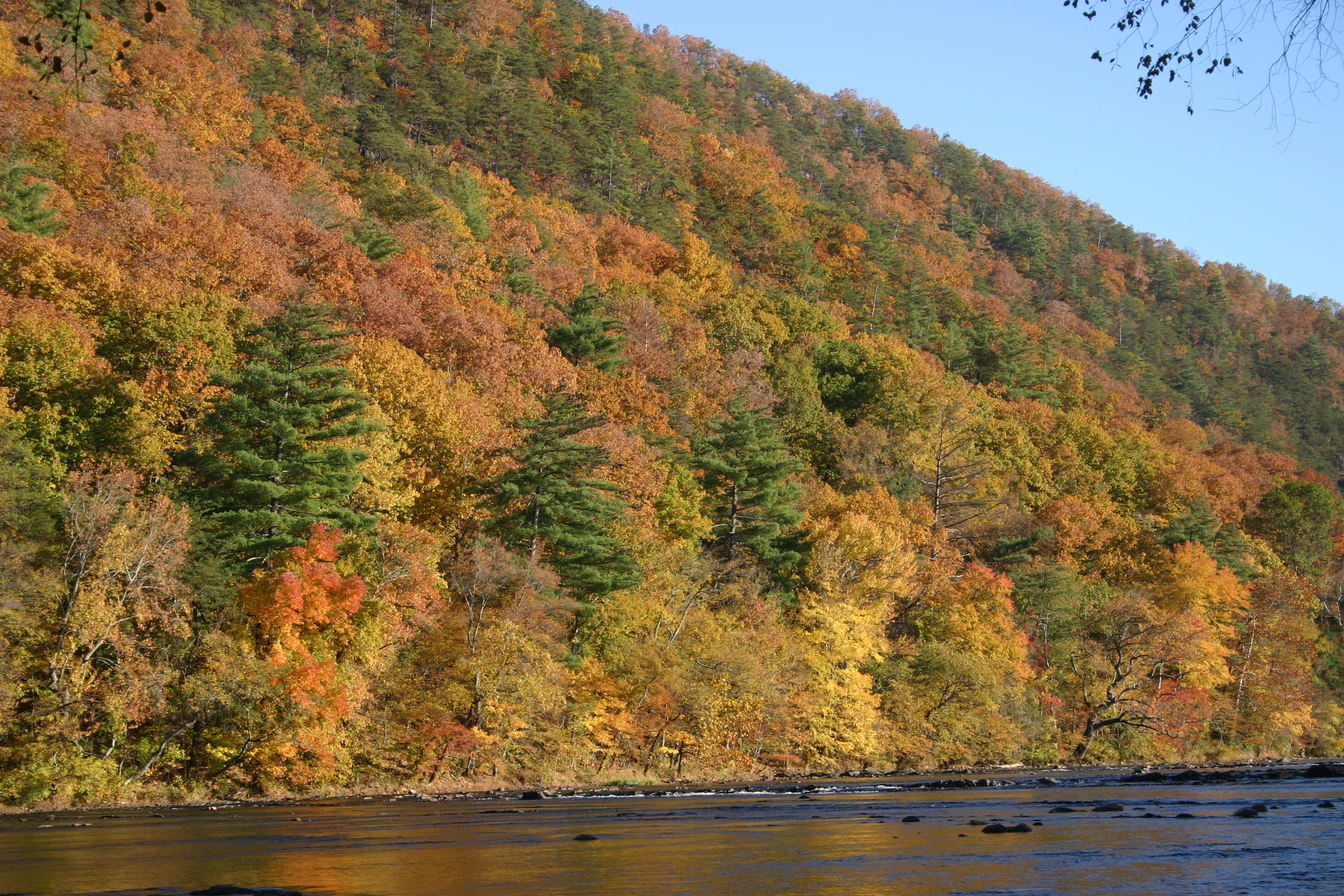
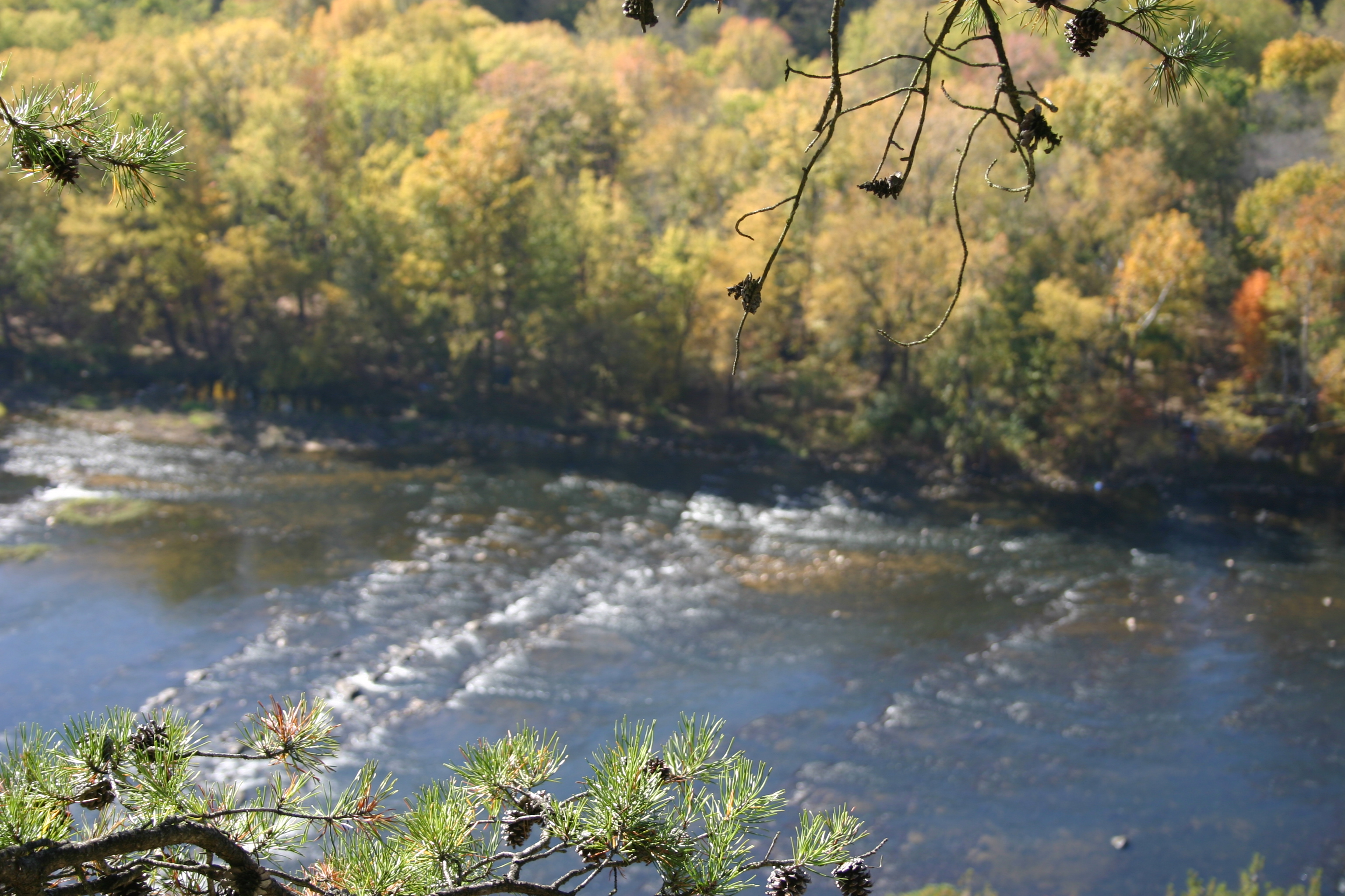
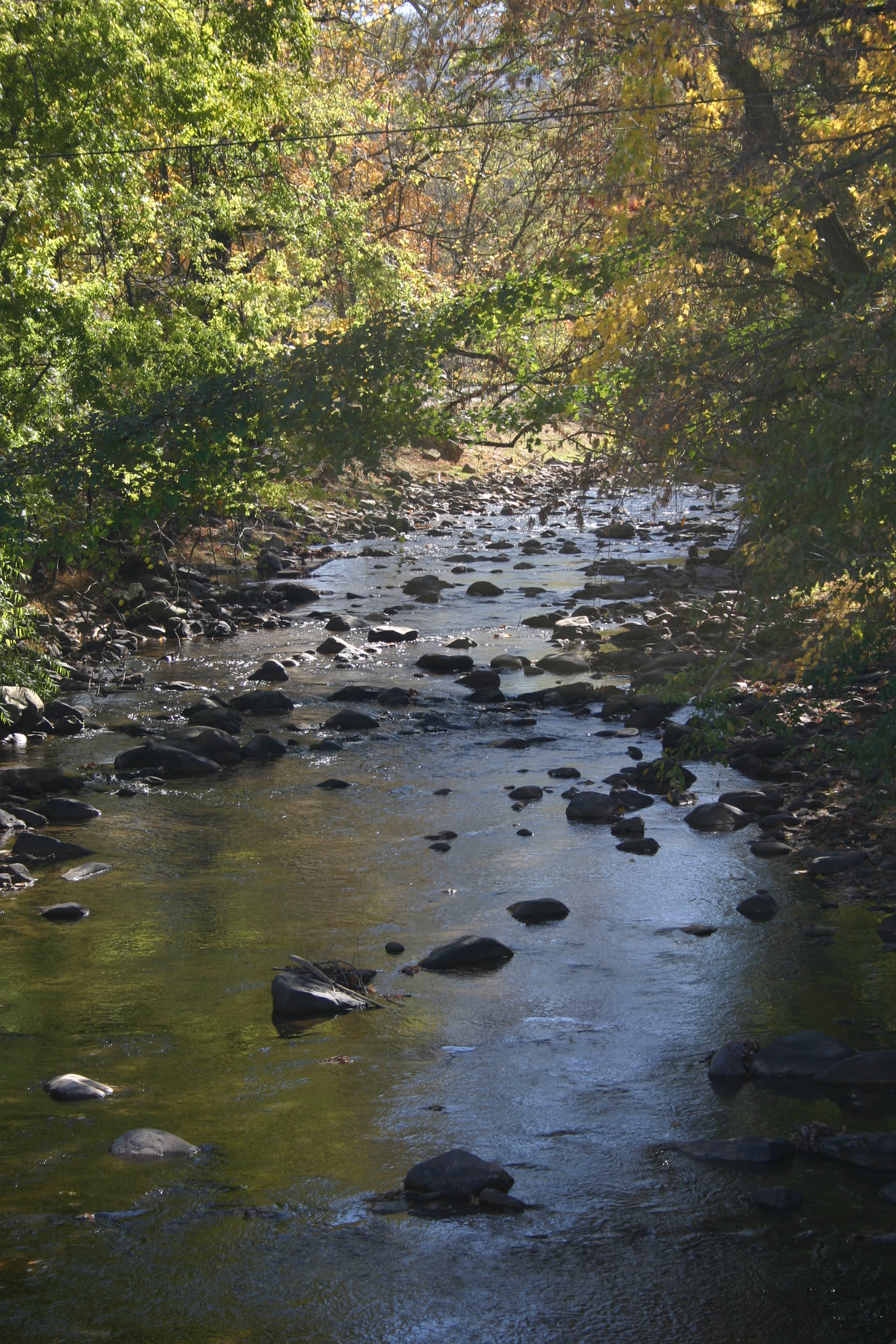
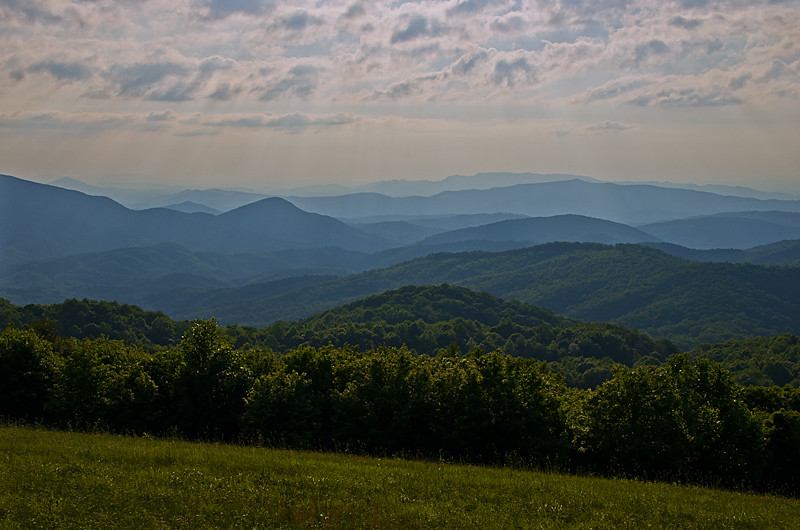
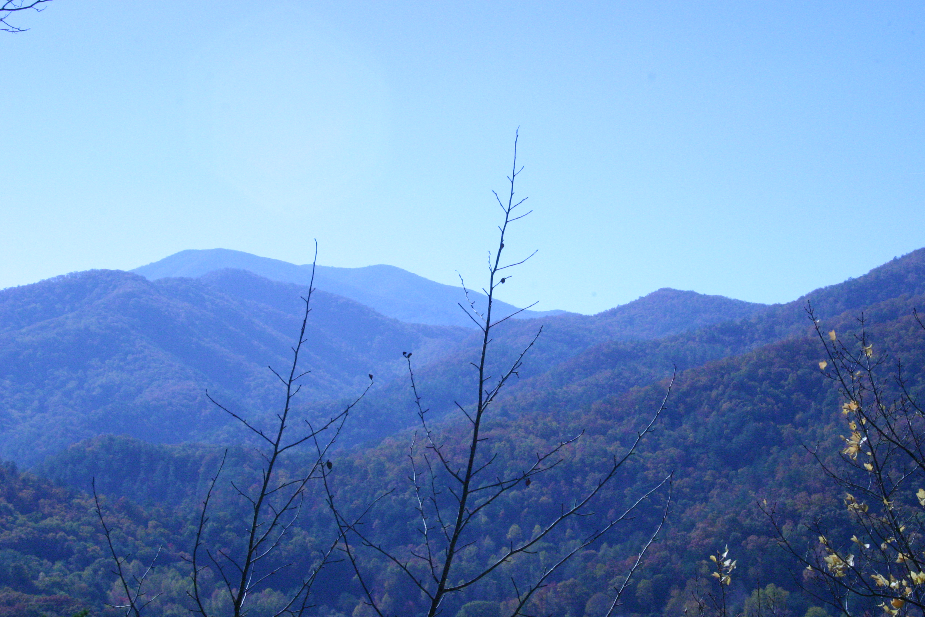
Related Photos:

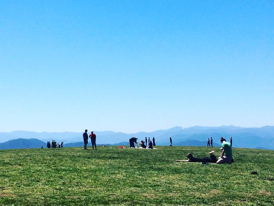
Fall on Max Patch

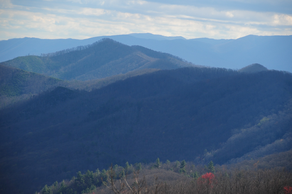
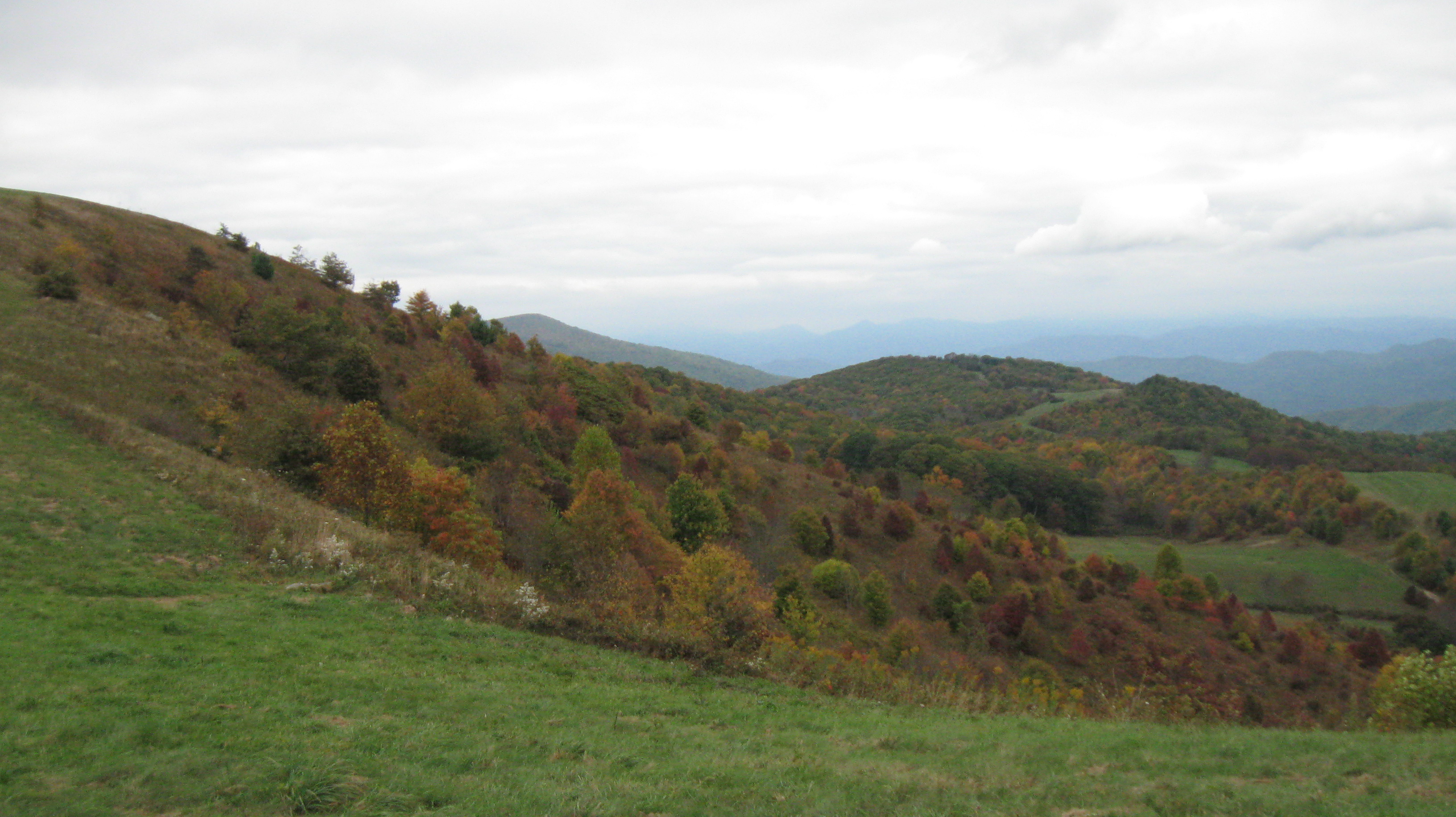
View from Max Patch, looking east

Max Patch - October 12, 2013-052

View from Max Patch, looking east
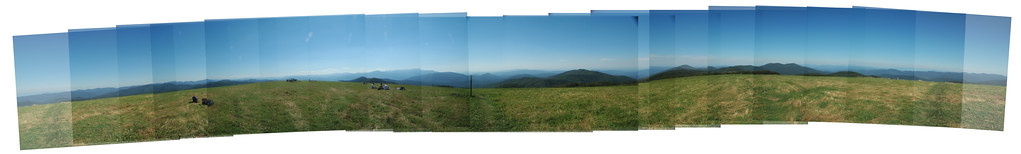
Max Patch Pano

View from Meadow Creek Firetower

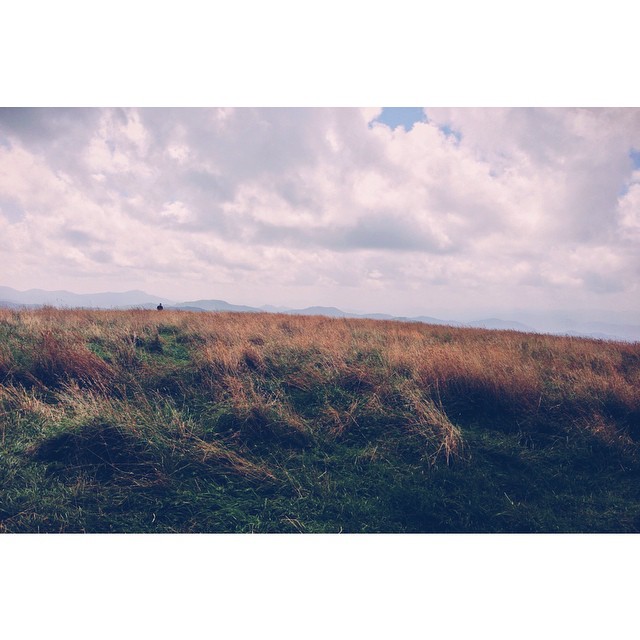
View From Max Patch

max patch

View from Max Patch

tracks & mountains

Houston Valley
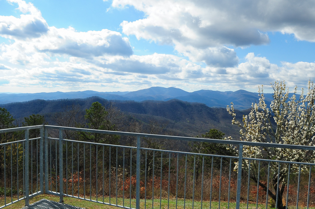
View from Meadow Creek Firetower
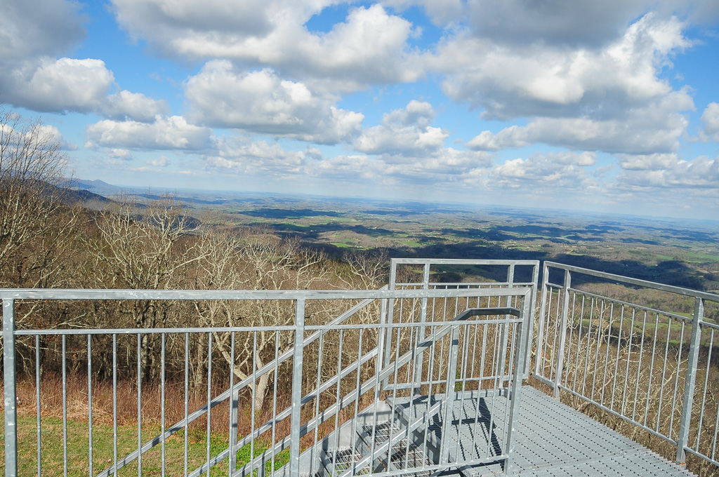
View from Meadow Creek Firetower
View of W4T/SU-073 - Cliffy Benchmark
View from Meadow Creek Firetower

View from the Rich Mountain lookout tower

This weekend, @thelandmarkproject organized a great group of folks up to Max Patch. We shared stories and smores and great views.

View of Cliffy Benchmark Ridgeline from Meadow Creek Firetower
Gorgeous views.
Max Patch - October 12, 2013-026
Hiked up to Max Patch for 360° of stunning views. #appalachiantrail #maxpatch #northcarolina

Photo Stream-682

Photo Stream-684

Stormy autum in the East Tennessee Valley

Hot Srings Oct 08 296

Standing on top of #maxpatch , the bald #mountain. Beautiful #sunset behind #clouds
Hot Srings Oct 08 242
Hot Srings Oct 08 240
Misty Mountains #iphoneography #landscape #mountains #northcarolina #mist
Hot Srings Oct 08 257
Hot Srings Oct 08 236
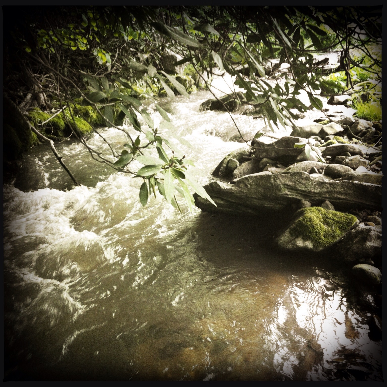
Photo Stream-693
Hot Springs Oct 08 179
Hot Springs Oct 08 128
On Max Patch Bald on the TN/NC state line.
Hot Springs Oct 08 197
Topographic Map of Hot Springs, NC, USA
Find elevation by address:

Places in Hot Springs, NC, USA:
East Lawson Road
Paint Rock
Max Patch Road
Island Hollow Road
Fisher Branch
Running Bear Road
Trail
Bluff
Freedom Lane
Spring Creek
West Road
Roaring Fork Road
Deerfield Drive
Trail
Trail
Kirk's Drive
Lawson Lane
Anderson Cove Road
Meadow Fork Road
West Road
Bee Branch
Places near Hot Springs, NC, USA:
Bob Sinners
71 N Spring St
124 Bridge St
181 Lawson St
204 Lawson St
Hot Springs Elementary School
60 Stamey Dr
6, Hot Springs
Trail
Trail
Trail
Hot Springs Mountain
143 E Lawson Rd
East Lawson Road
Lawson Lane
4215 Upper Shut In Rd
4215 Upper Shut In Rd
4215 Upper Shut In Rd
1012 Upper Shut In Rd
Stackhouse Rd, Marshall, NC, USA
Recent Searches:
- Elevation of W Granada St, Tampa, FL, USA
- Elevation of Pykes Down, Ivybridge PL21 0BY, UK
- Elevation of Jalan Senandin, Lutong, Miri, Sarawak, Malaysia
- Elevation of Bilohirs'k
- Elevation of 30 Oak Lawn Dr, Barkhamsted, CT, USA
- Elevation of Luther Road, Luther Rd, Auburn, CA, USA
- Elevation of Unnamed Road, Respublika Severnaya Osetiya — Alaniya, Russia
- Elevation of Verkhny Fiagdon, North Ossetia–Alania Republic, Russia
- Elevation of F. Viola Hiway, San Rafael, Bulacan, Philippines
- Elevation of Herbage Dr, Gulfport, MS, USA