Elevation of Pacifico Mountain, California, USA
Location: United States > California > Los Angeles County > Palmdale >
Longitude: -118.03479
Latitude: 34.3822201
Elevation: 2092m / 6863feet
Barometric Pressure: 79KPa
Elevation Map:
Satellite Map:
Related Photos:

Angeles Crest Highway

East Los Angeles

San Gabriel Moonrise

In the company of friends
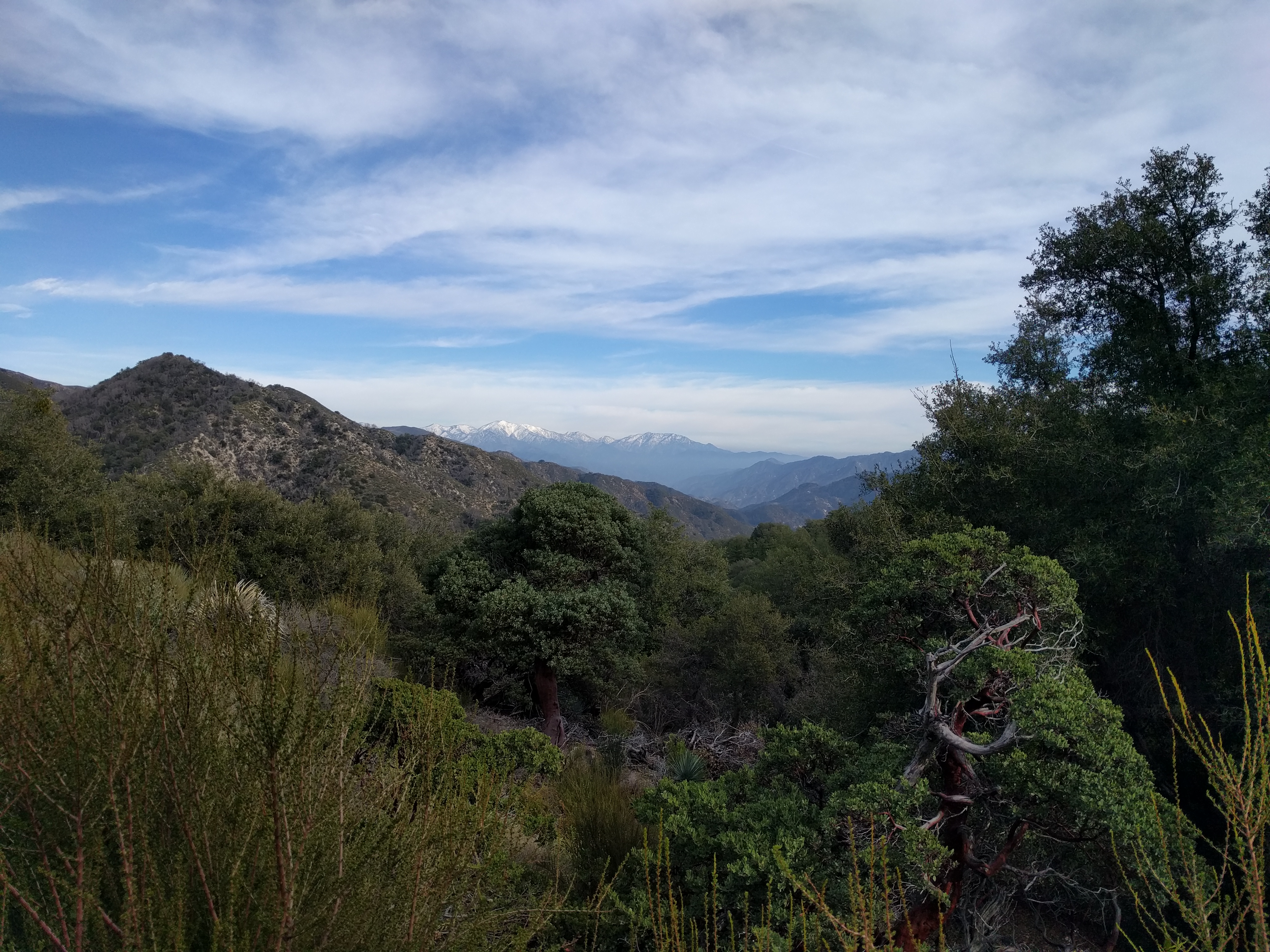
Snow in the Distance

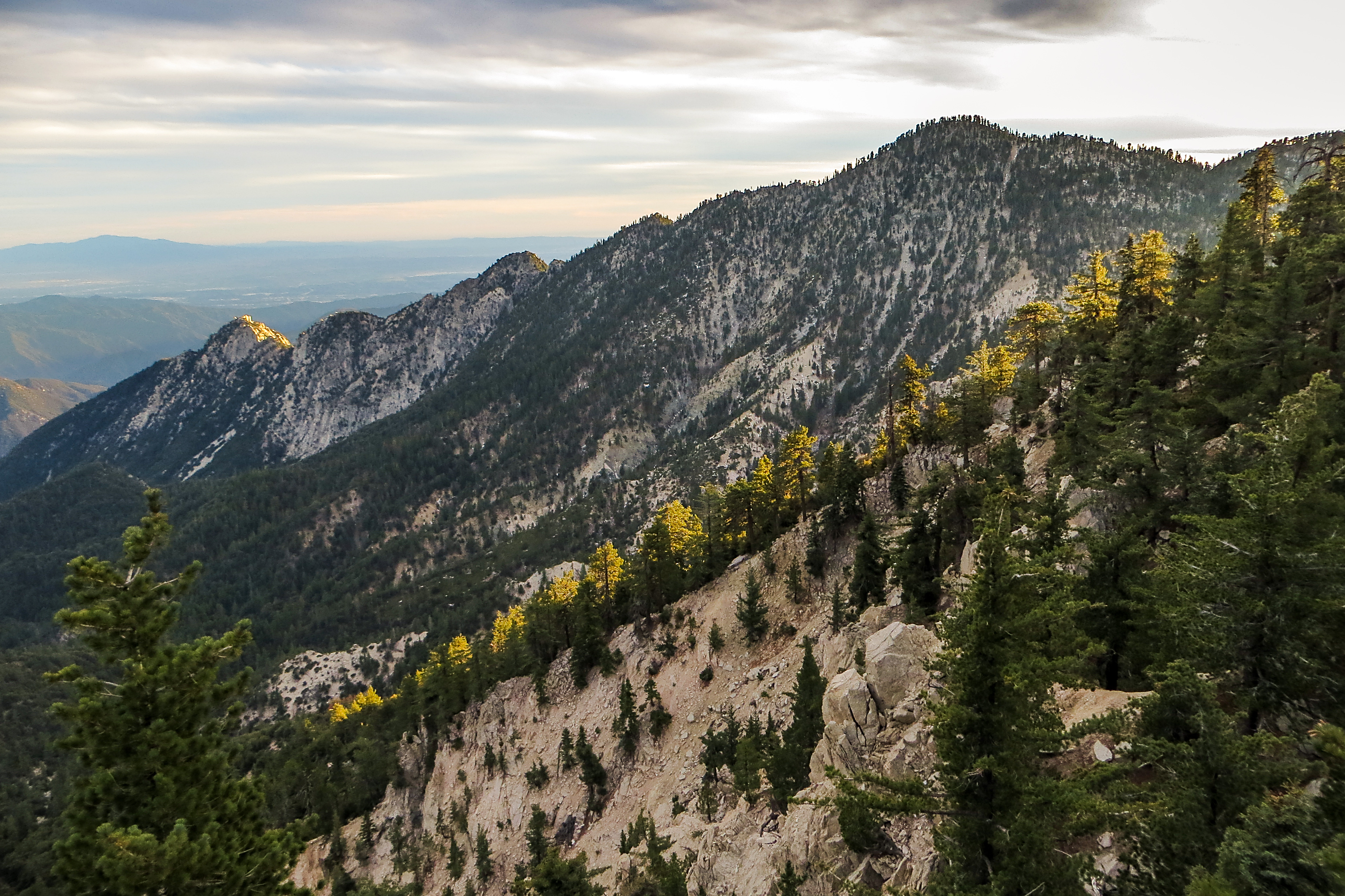
Life is harsh on the ridge.

Clearing Storm, Mount Williamson

The moment had arrived
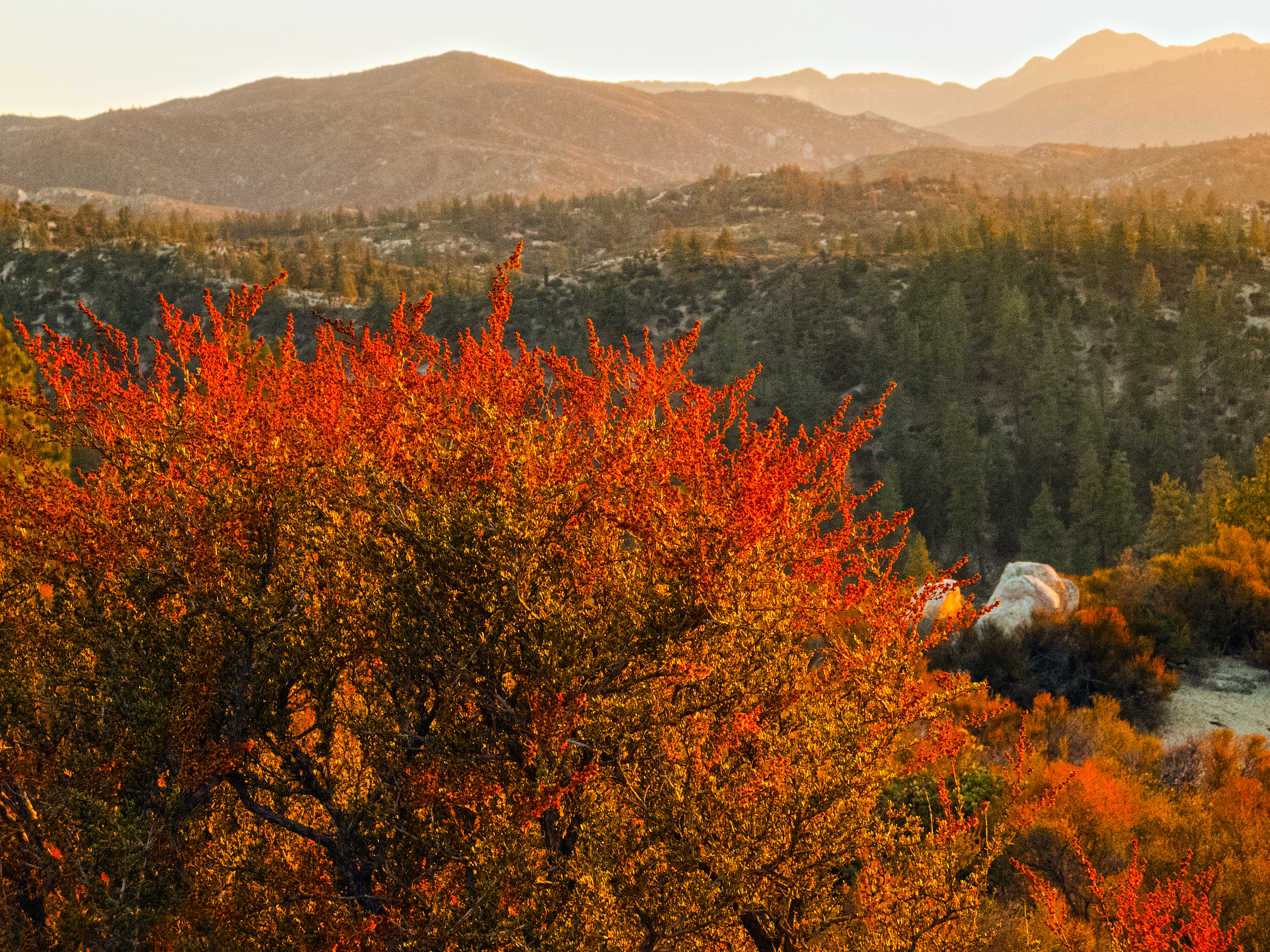
Flame of the Forest

Edge of the Angeles
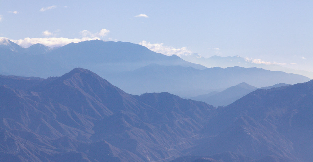
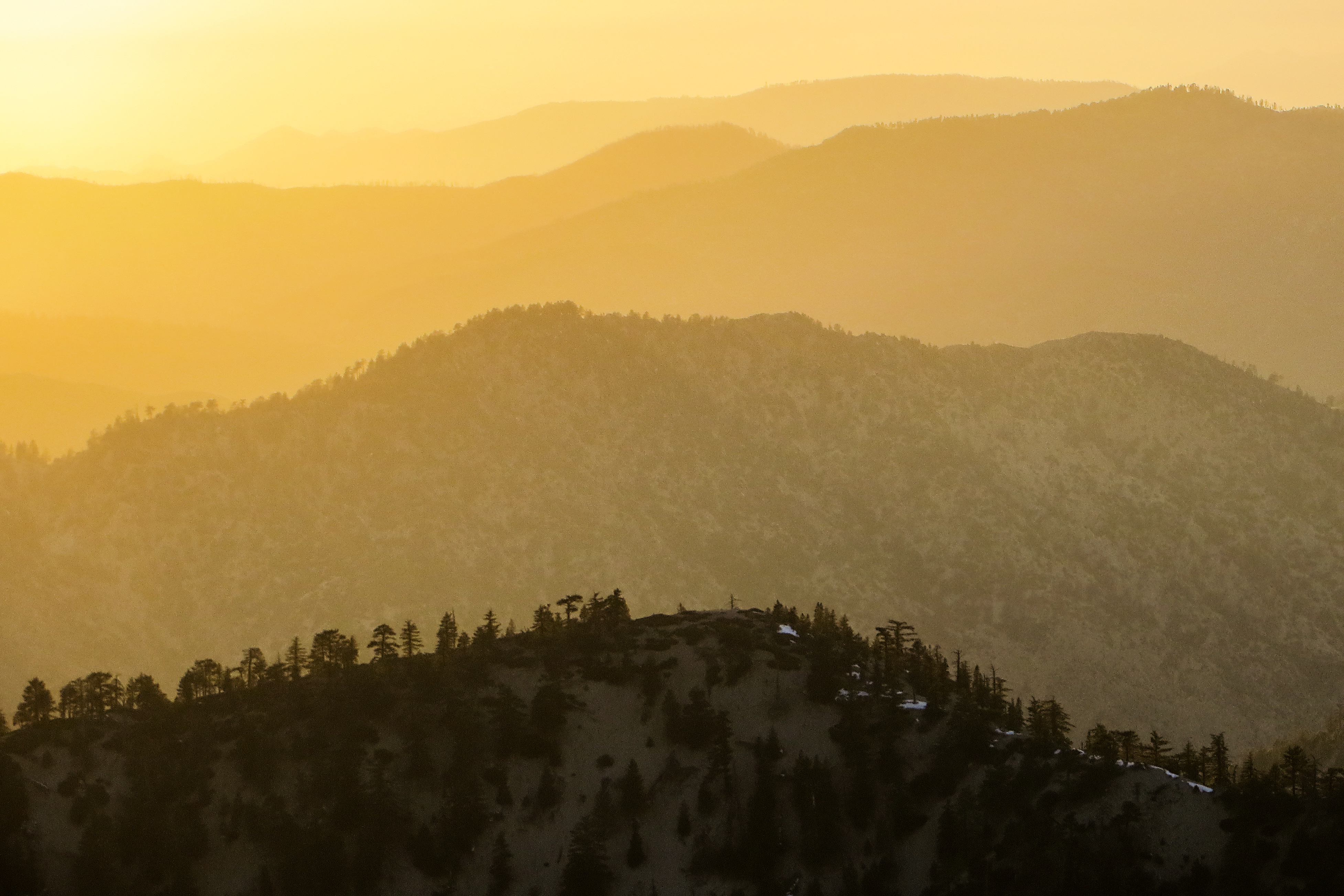
Blue Mountains

Golden Poodle Dog

Clouds and Snow - A Typical LA Sunrise

Merry Christmas from the High Desert

everyday is the right day
Twin Peaks Ridge

Winter on Mount Williamson

Tangerine Topography

Catalina Island from Mt Waterman
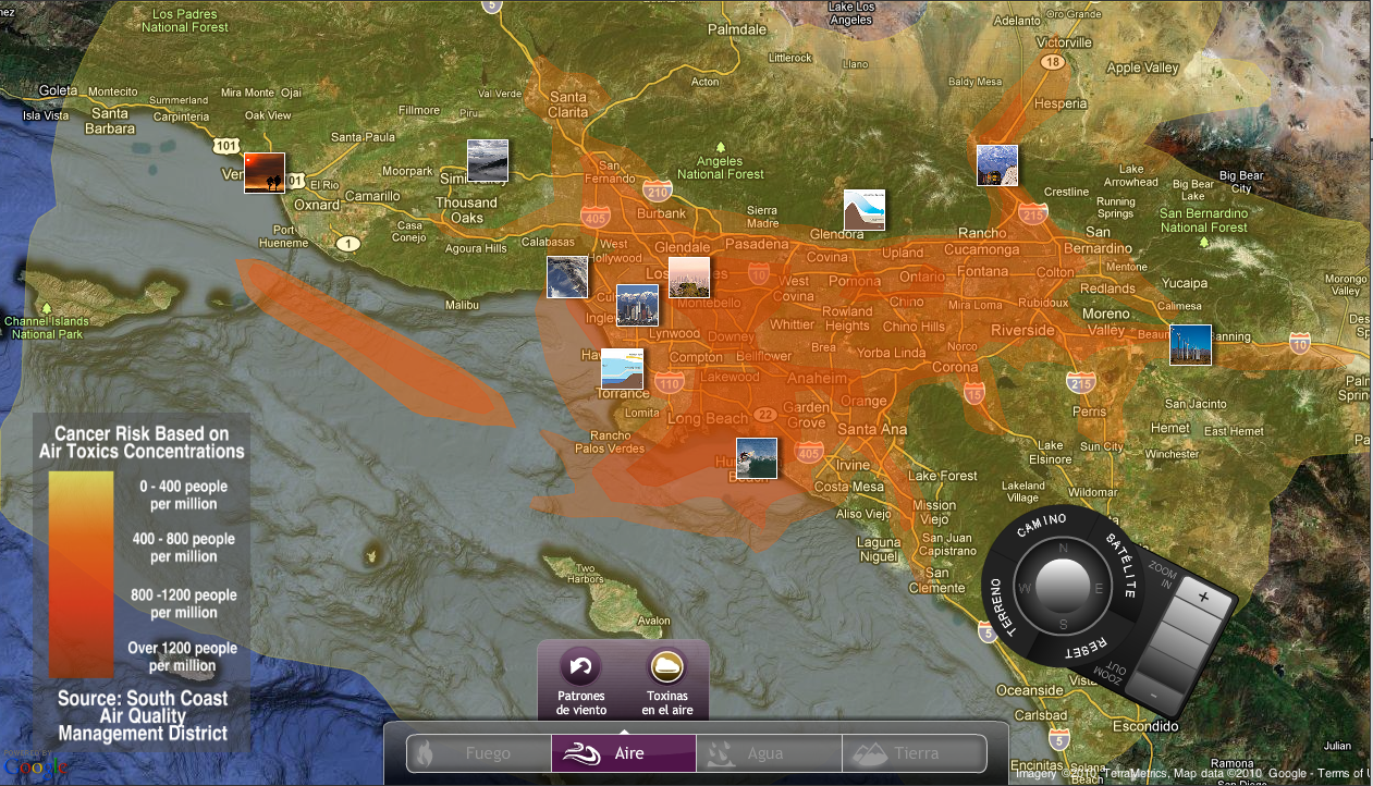
Screen shot of the multitouch Google/Flickr mashup showing the air toxics KML overlay
Sunset Haze on Williamson
Topographic Map of Pacifico Mountain, California, USA
Find elevation by address:

Places near Pacifico Mountain, California, USA:
Angeles Crest Hwy, Llano, CA, USA
2 2 Mi S Aliso Cyn Vic Af, Acton, CA, USA
Camp Valcrest
Charlton Flats Picnic Site
Juniper Hills
11878 Juniper Hills Rd
11880 Juniper Hills Rd
12050 Juniper Hills Rd
Angeles Crest Highway
12340 Nearwood Rd
12810 Le Page Ranch Rd
Devil's Punchbowl Natural Area
Devils Punchbowl
Valyermo
Crystal Lake
Big Rock Creek Rd, Pearblossom, CA, USA
Mount Lewis
Paradise Dr, Valyermo, CA, USA
Big Rock Creek Road
Angeles Crest Creamery
Recent Searches:
- Elevation of Corso Fratelli Cairoli, 35, Macerata MC, Italy
- Elevation of Tallevast Rd, Sarasota, FL, USA
- Elevation of 4th St E, Sonoma, CA, USA
- Elevation of Black Hollow Rd, Pennsdale, PA, USA
- Elevation of Oakland Ave, Williamsport, PA, USA
- Elevation of Pedrógão Grande, Portugal
- Elevation of Klee Dr, Martinsburg, WV, USA
- Elevation of Via Roma, Pieranica CR, Italy
- Elevation of Tavkvetili Mountain, Georgia
- Elevation of Hartfords Bluff Cir, Mt Pleasant, SC, USA