Elevation of 2 2 Mi S Aliso Cyn Vic Af, Acton, CA, USA
Location: United States > California > Los Angeles County > Acton >
Longitude: -118.07842
Latitude: 34.395016
Elevation: 1475m / 4839feet
Barometric Pressure: 85KPa
Elevation Map:
Satellite Map:
Related Photos:
Golden Poodle Dog

East Los Angeles
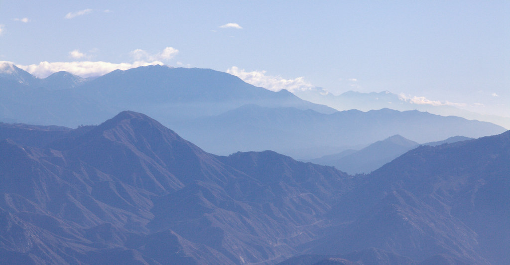
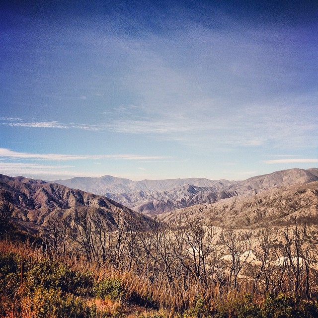
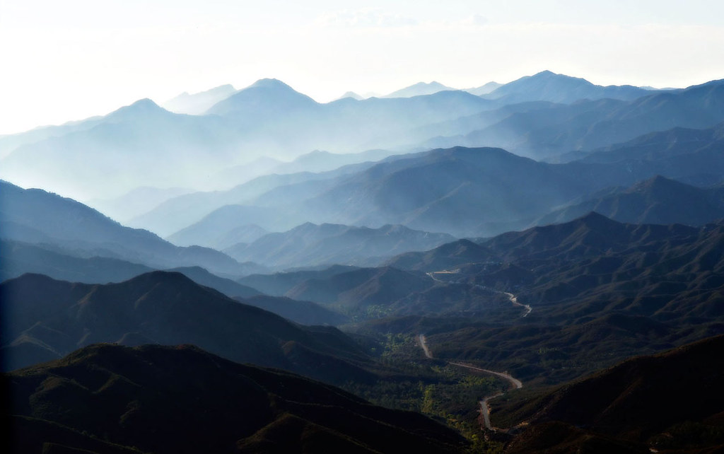
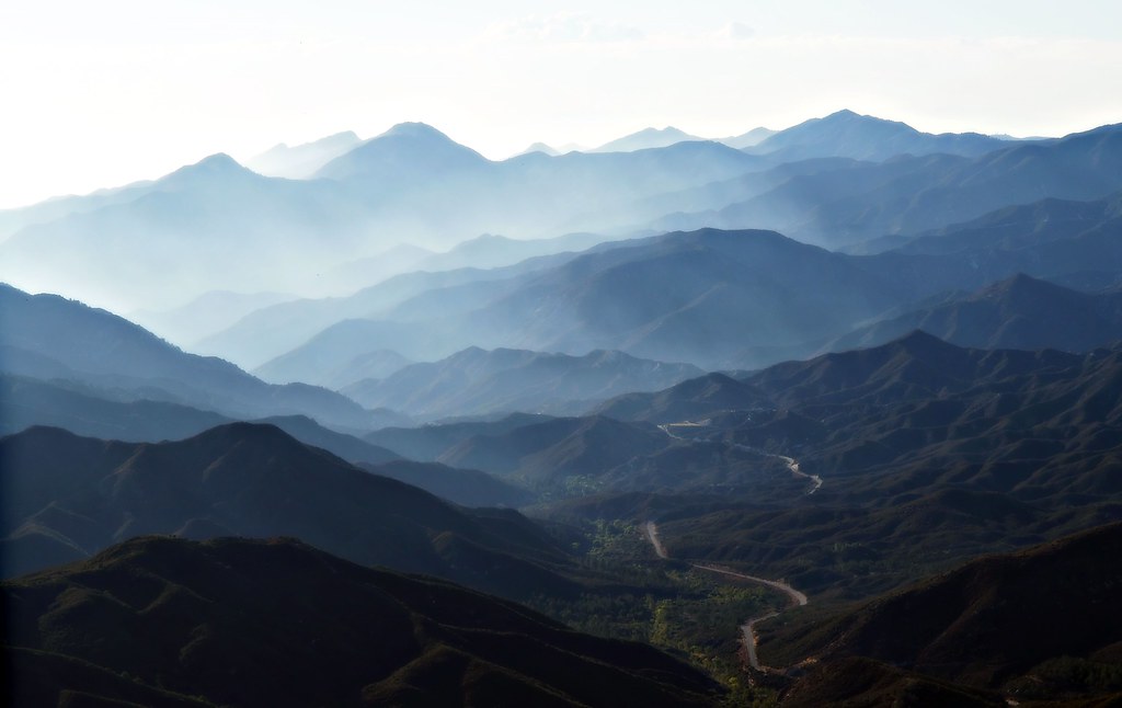
Blue Mountains
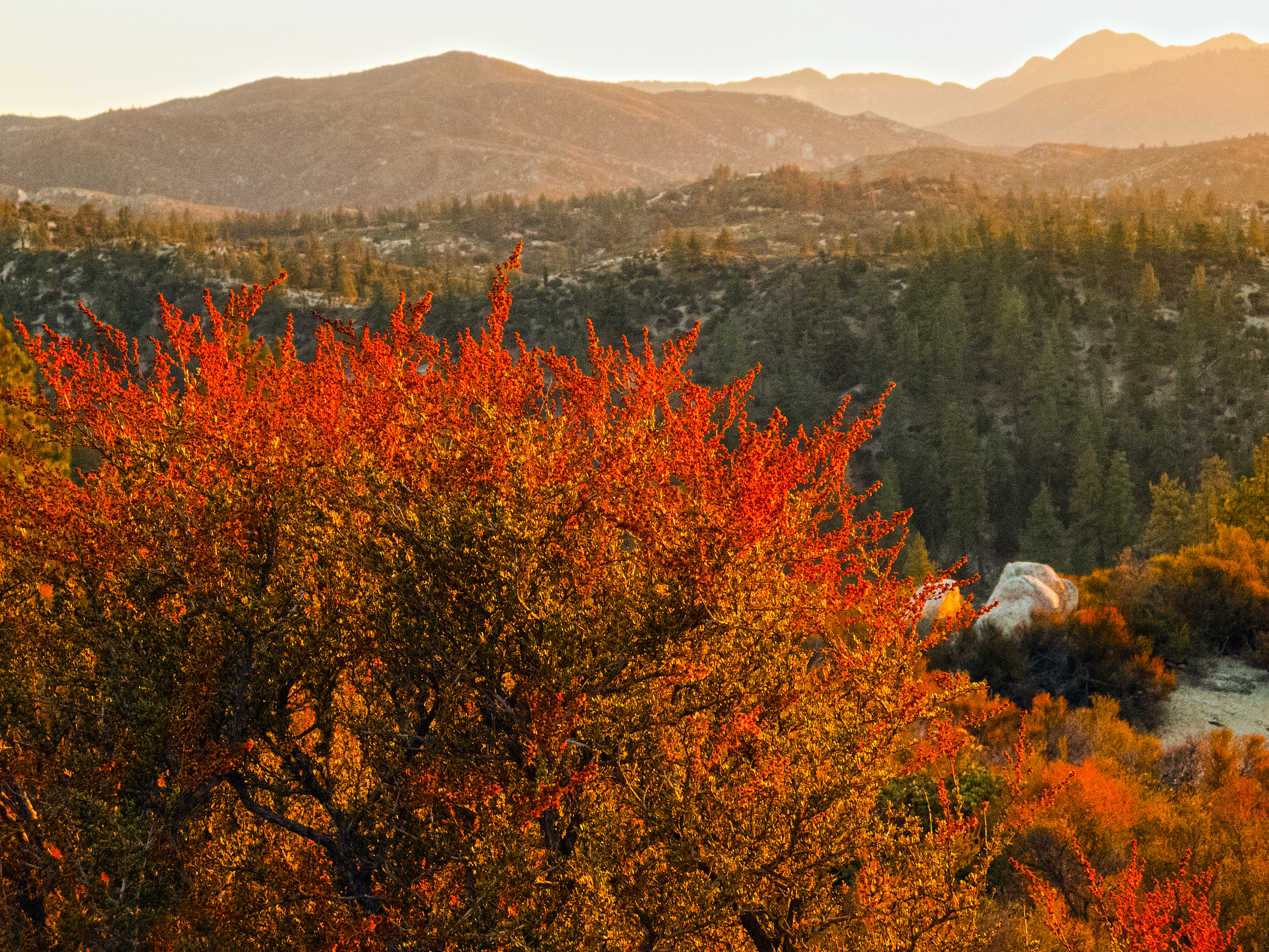
Flame of the Forest

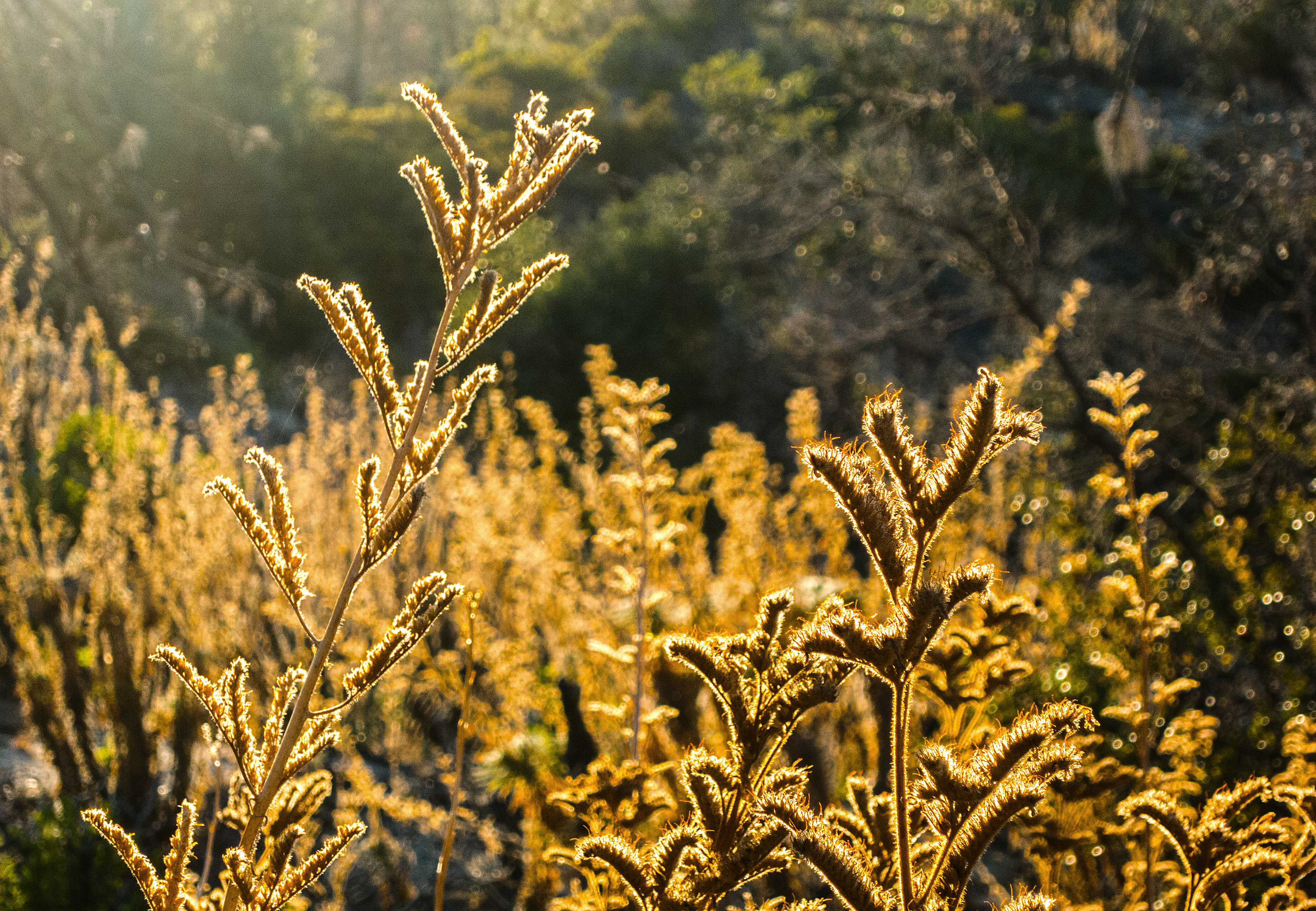
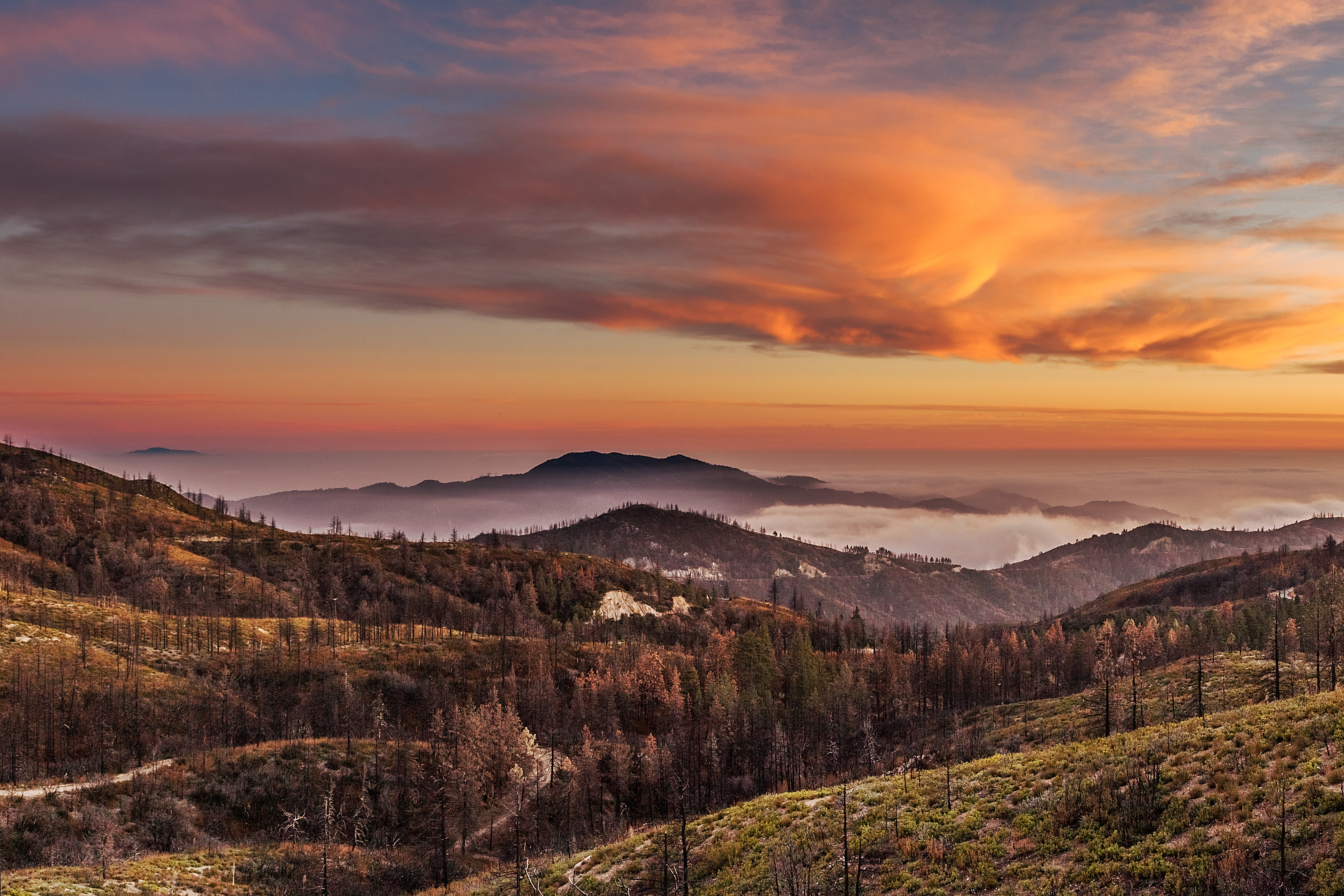
Burned and Boiled
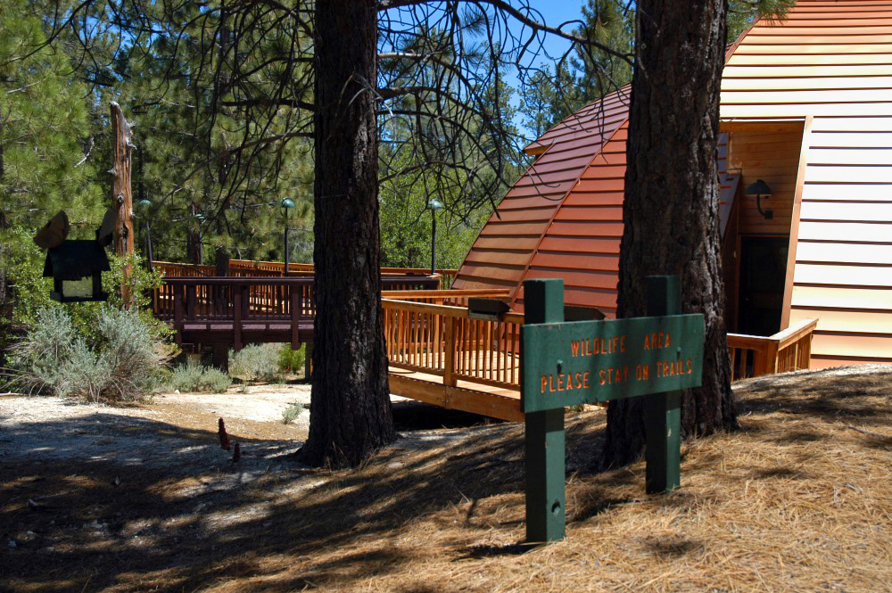
Chilao Visitor Center wildlife viewing area
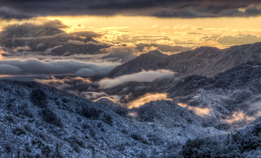
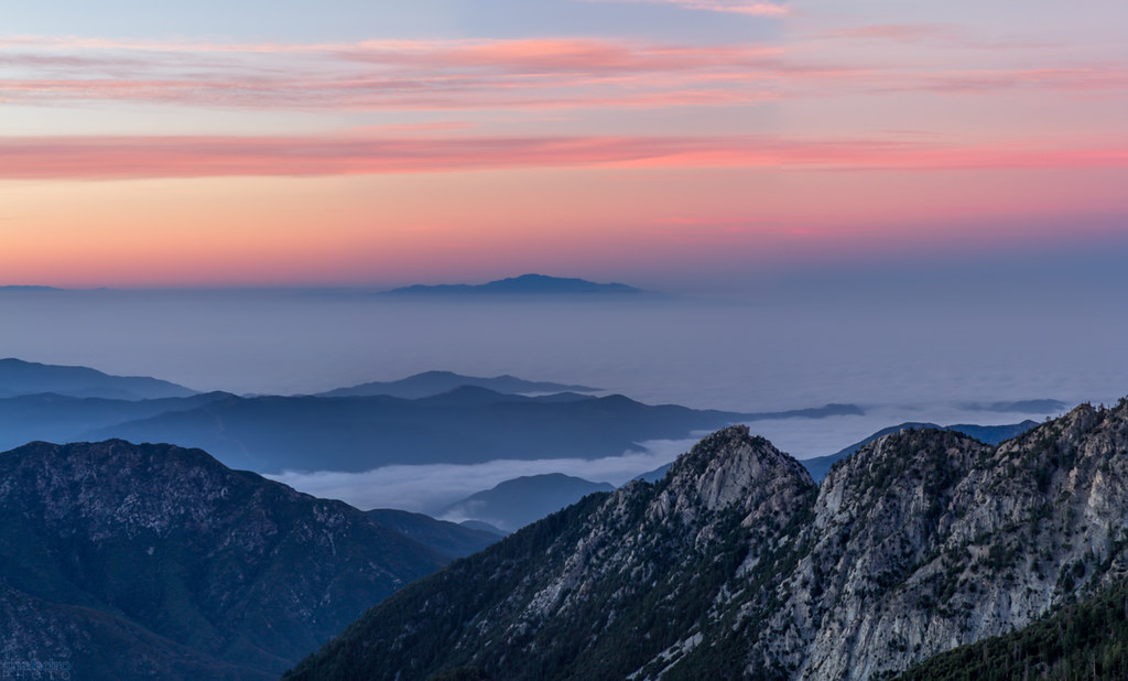
Clouds and Snow - A Typical LA Sunrise

San Gabriel Moonrise
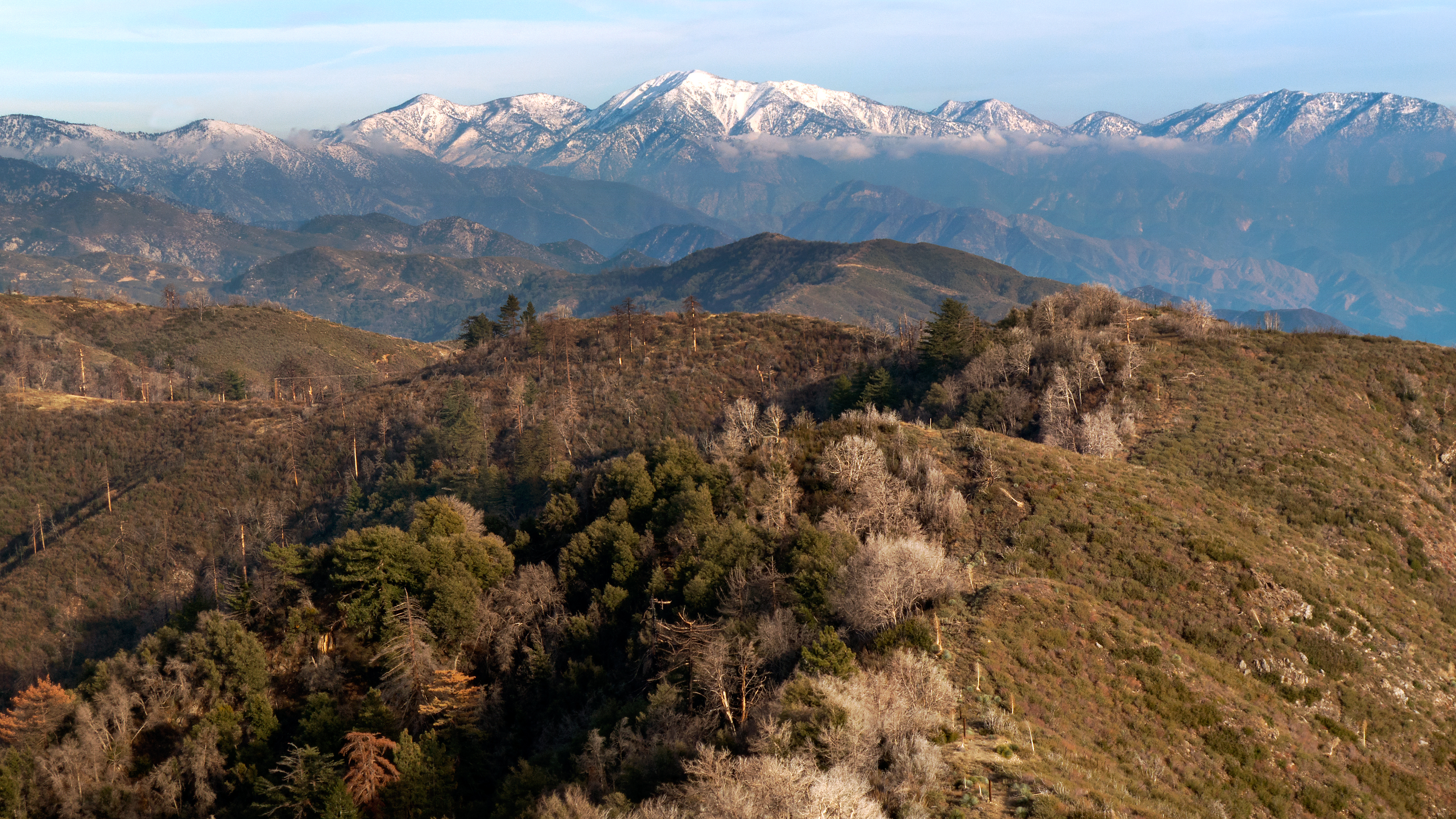
Edge of the Angeles

The moment had arrived

Merry Christmas from the High Desert
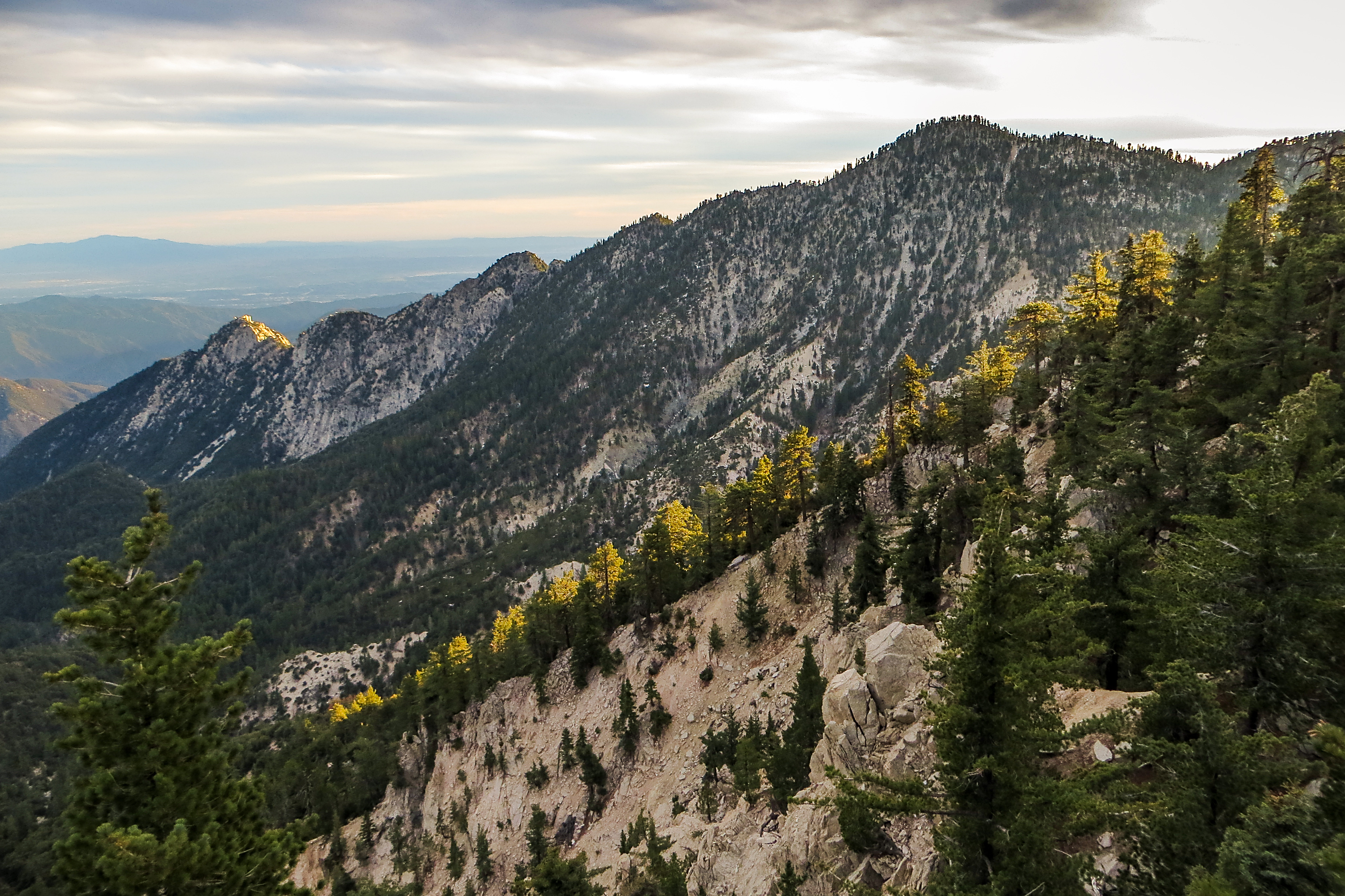
Twin Peaks Ridge
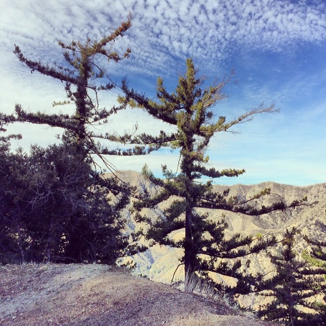
everyday is the right day
Catalina Island from Mt Waterman
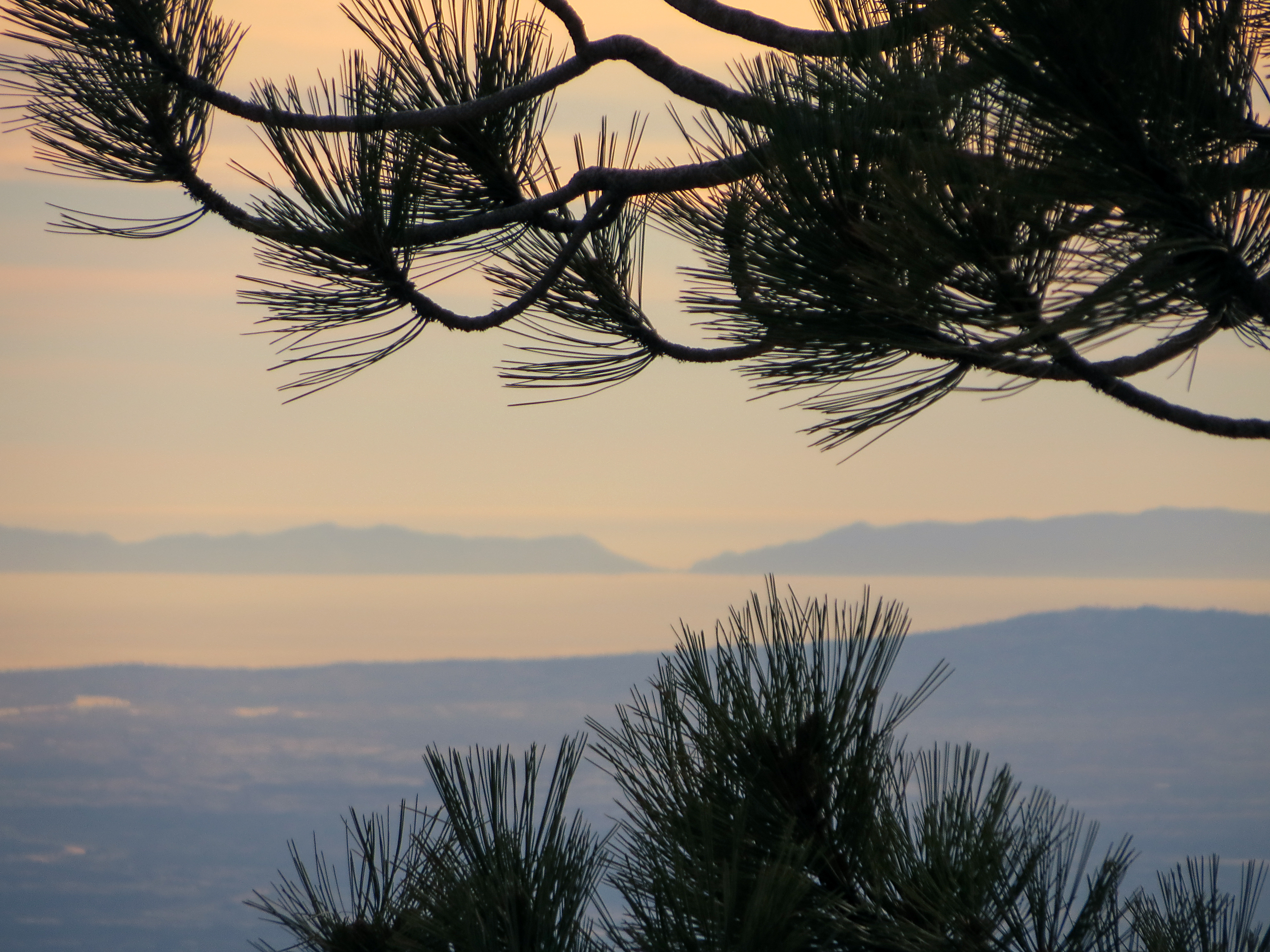
Loving the View
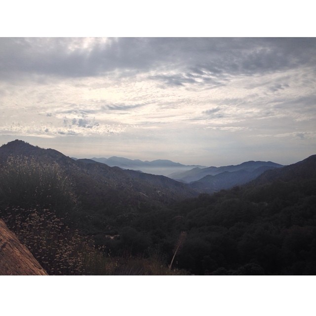
Not a bad view this lovely morning! #sundayfunday
#tree #la #like4like #losangeles #mountains #mothernature #nature #beautiful #beautifulday #bestoftheday #view #hiking #follow #sangabriels #adventure #angelesnationalforest #igdaily #instagood #iphonesia #iphoneonly #exploring #picoftheday #photooftheday
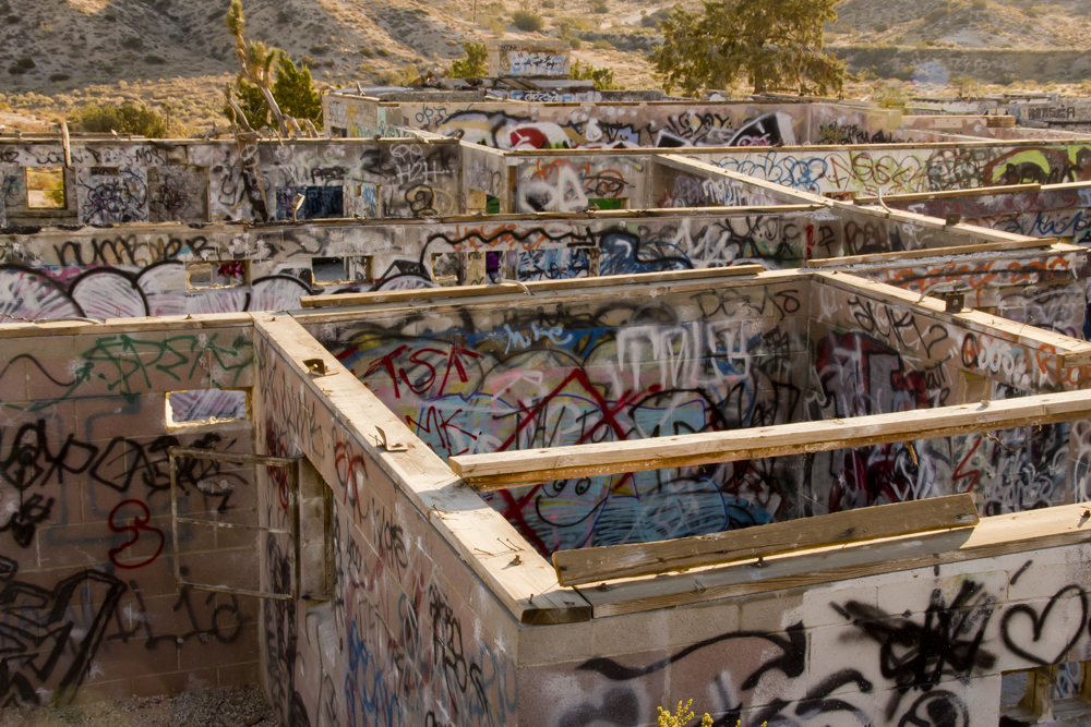
Asylum: Top View

View of Lake Palmdale, CA
#nature #sky #beautiful #pretty #blue #beauty #light #photooftheday #love #skylovers #weather #day #iphonesia #mothernature #like4like #sangabriels #mountains #view #la #losangeles #high #hiking #adventure #altitude #angelesnationalforest #exploring
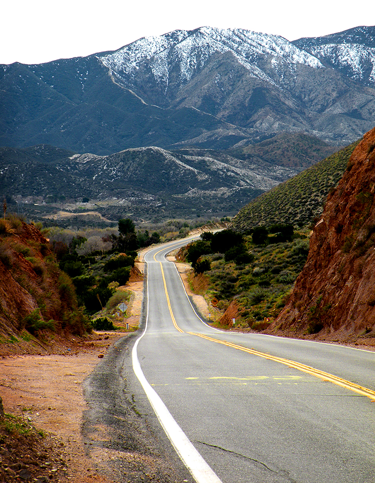
Soledad Canyon Road
2008-05-21_17-52-16_IMG_6610_q75_s10
Paradise Lost
East from Mount Lawlor

Crown Valley Road
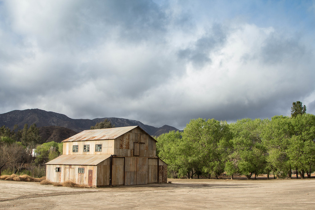
Polsa Rosa Ranch (for Movies)
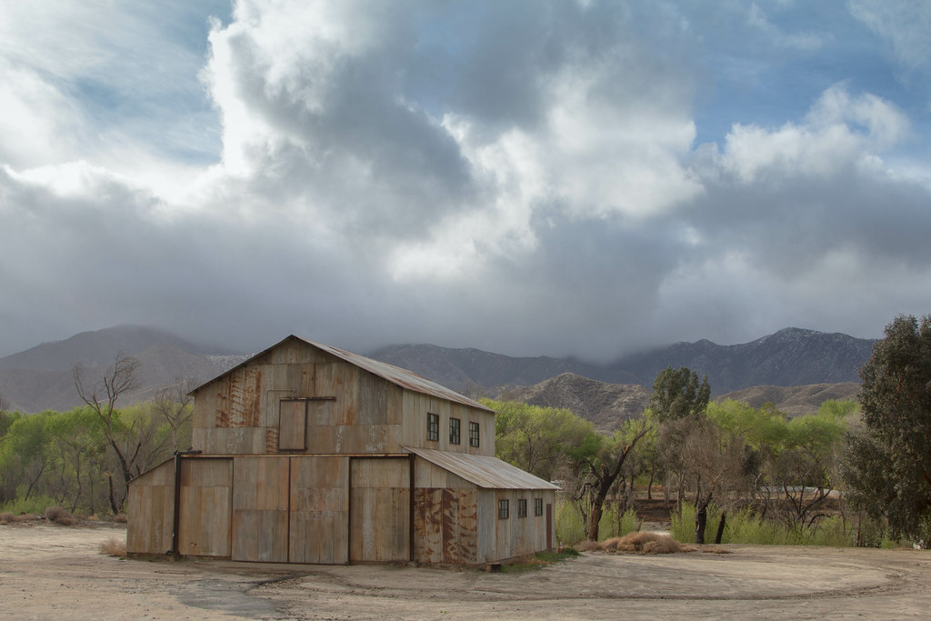
Polsa Rosa Ranch (for Movies)

Snow at Red Box (Version 2)
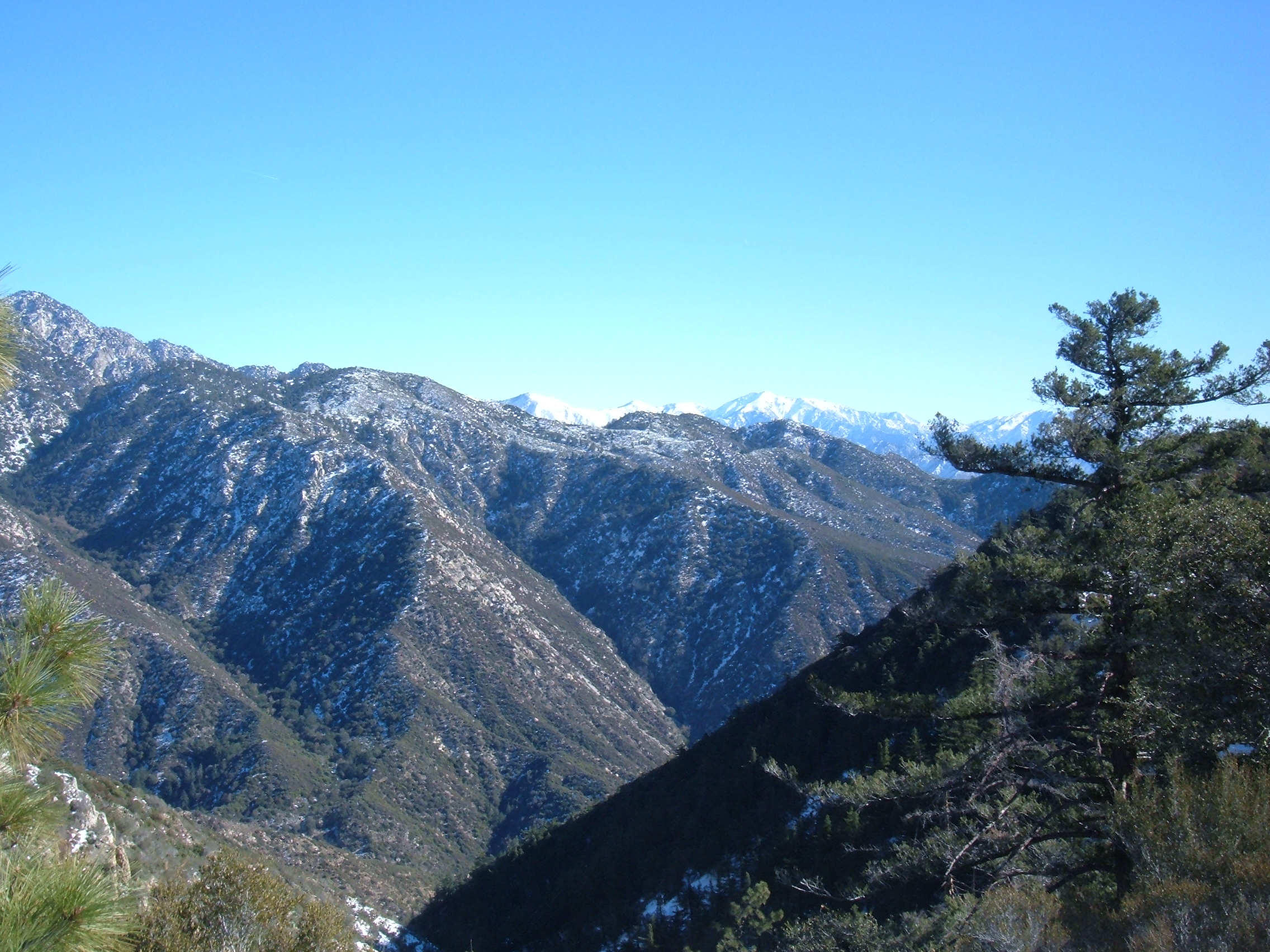
San Gabriel's Vista from Mount Mooney [Explored]
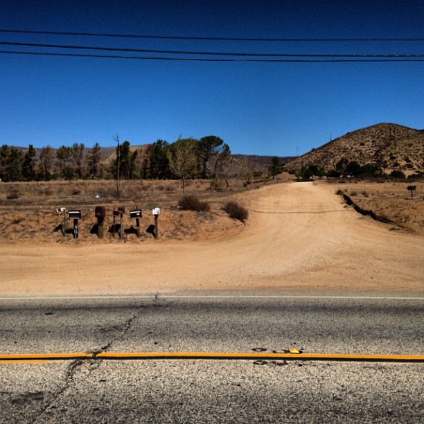
It's the Old West out here. #oldwest #dirtroad #boonies #notdoneyet
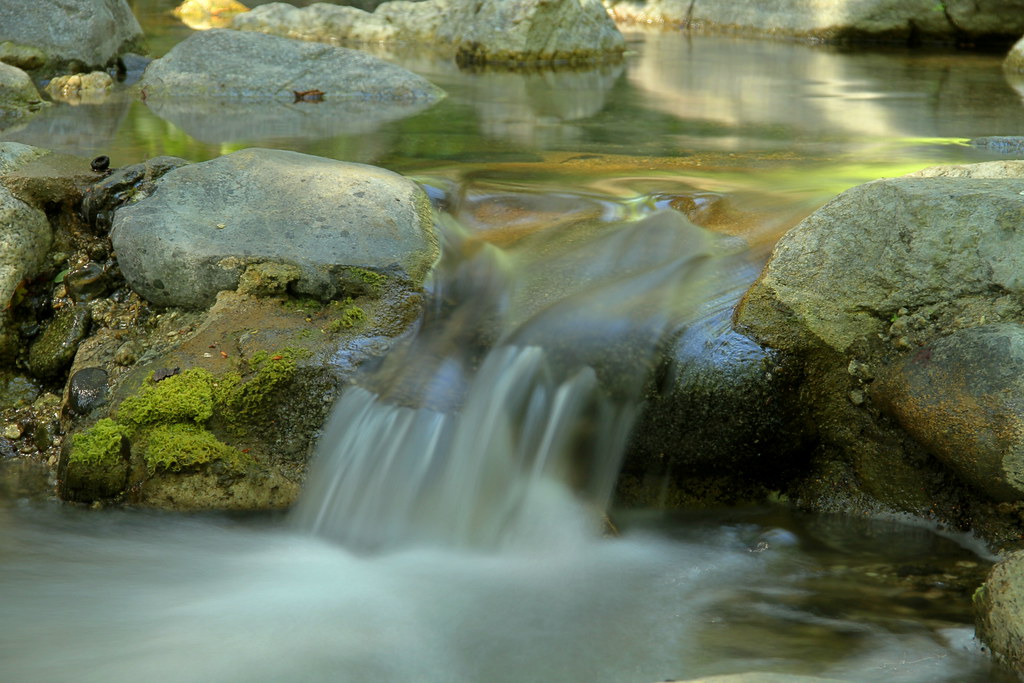
Mini-falls
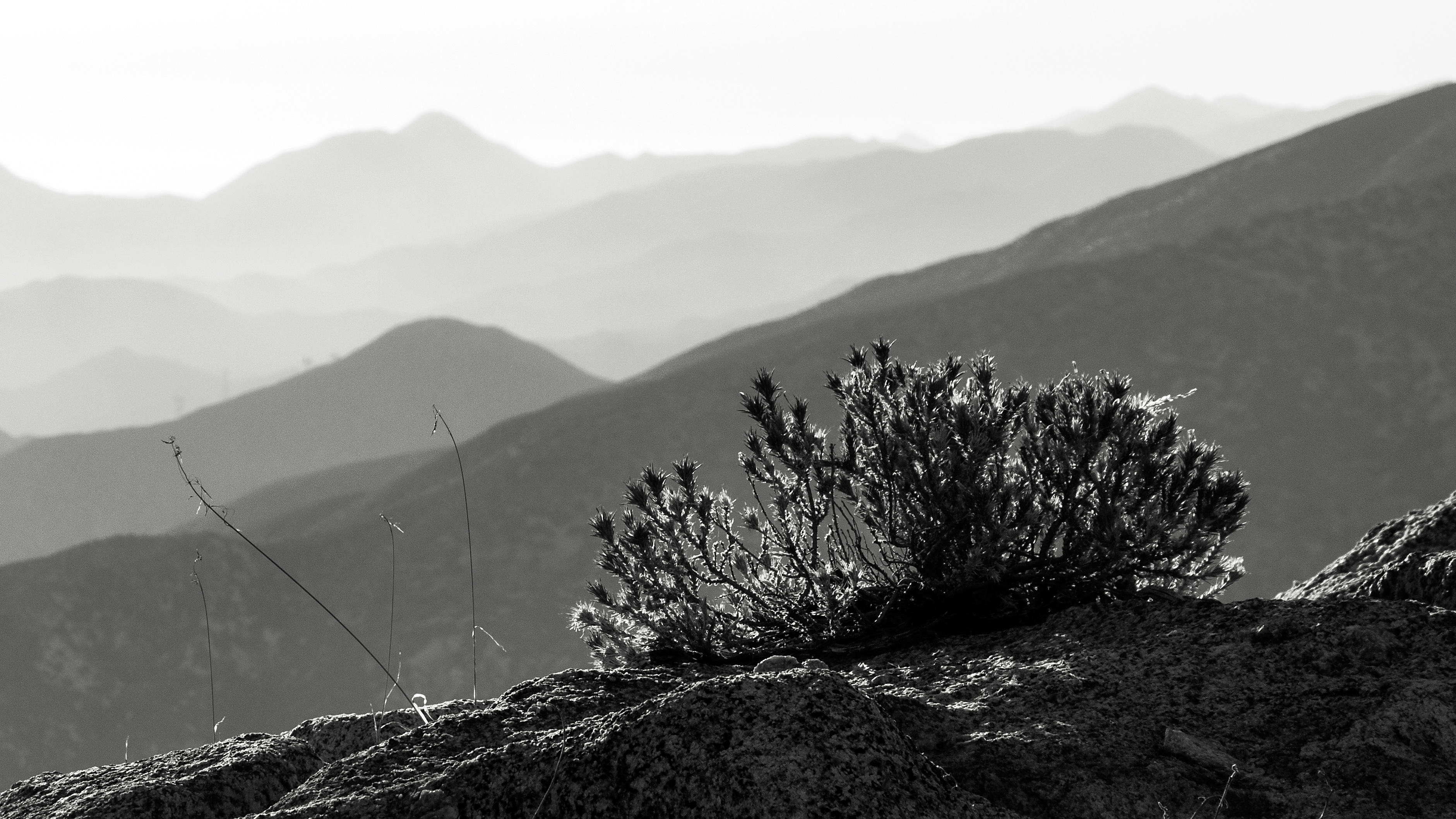
Sun-Up Crest
Dew Point

Camera Roll-1319
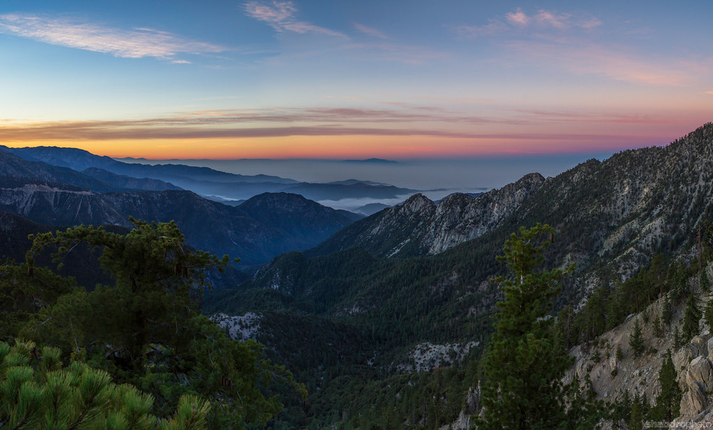
Sunrise Crest
Topographic Map of 2 2 Mi S Aliso Cyn Vic Af, Acton, CA, USA
Find elevation by address:

Places near 2 2 Mi S Aliso Cyn Vic Af, Acton, CA, USA:
Pacifico Mountain
Angeles Crest Hwy, Llano, CA, USA
Camp Valcrest
Charlton Flats Picnic Site
Juniper Hills
11878 Juniper Hills Rd
11880 Juniper Hills Rd
12050 Juniper Hills Rd
12340 Nearwood Rd
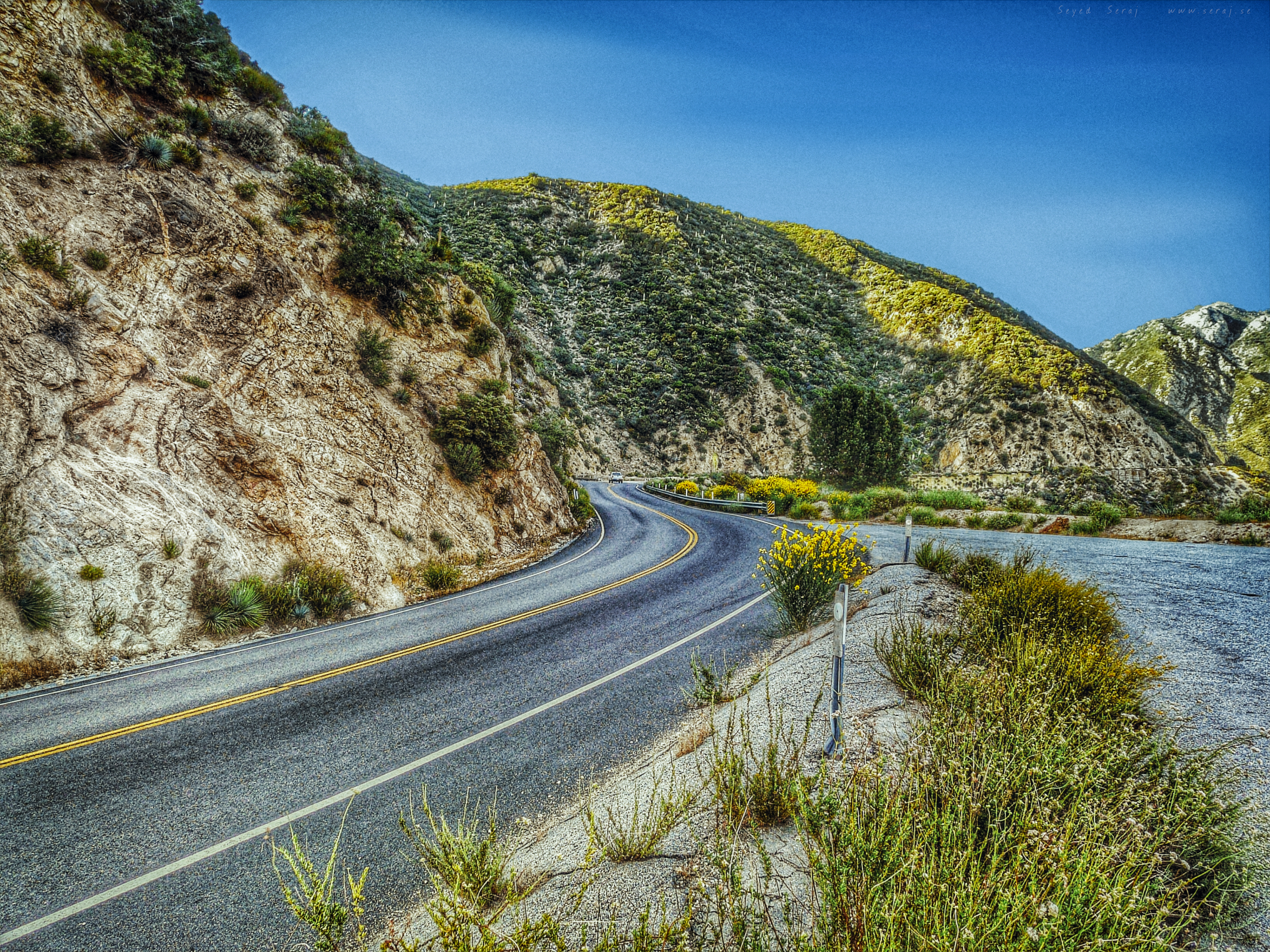
Angeles Crest Highway
12810 Le Page Ranch Rd
Devil's Punchbowl Natural Area
Devils Punchbowl
Valyermo
Crystal Lake
Big Rock Creek Rd, Pearblossom, CA, USA
Paradise Dr, Valyermo, CA, USA
Mount Lewis
Big Rock Creek Road
Angeles Crest Creamery
Recent Searches:
- Elevation of Elwyn Dr, Roanoke Rapids, NC, USA
- Elevation of Congressional Dr, Stevensville, MD, USA
- Elevation of Bellview Rd, McLean, VA, USA
- Elevation of Stage Island Rd, Chatham, MA, USA
- Elevation of Shibuya Scramble Crossing, 21 Udagawacho, Shibuya City, Tokyo -, Japan
- Elevation of Jadagoniai, Kaunas District Municipality, Lithuania
- Elevation of Pagonija rock, Kranto 7-oji g. 8"N, Kaunas, Lithuania
- Elevation of Co Rd 87, Jamestown, CO, USA
- Elevation of Tenjo, Cundinamarca, Colombia
- Elevation of Côte-des-Neiges, Montreal, QC H4A 3J6, Canada