Elevation of Juniper Hills Rd, Littlerock, CA, USA

Location: United States > California > Los Angeles County > Littlerock >

Longitude: -117.91434

Latitude: 34.425489

Elevation: -10000m / -32808feet

Barometric Pressure: 295KPa

Elevation Map:

elevation map of Juniper Hills Rd, Littlerock, CA, USA

Satellite Map:

Satellite map of Juniper Hills Rd, Littlerock, CA, USA

Related Photos:

november trees winter snow pines southerncalifornia hps sangabrielmountains angelesnationalforest 2011 angelescresthighway explored canonef24105mmf4lisusm mountwilliamson hundredpeakssection 5dm2 5dmii pleasantviewridgewilderness
A change in mood [Explored]
abandoned graffiti desert antelopevalley insaneasylum littlerockca canont2i
Asylum: Top View
lovzhike mt baden powel memorial weekend 2016 angeles national forest camping hiking backpacking pct hike camp summit views sunset sunrise wonderlust simple life family brother loving
lovz2hike.com Mt Baden Powel 2016
sun mist snow storm nature fog clouds landscape hiking socal southerncalifornia hps sangabrielmountains angelesnationalforest wintry angelescresthighway westernunitedstates canonef24105mmf4lisusm mountwilliamson hundredpeakssection 5dm2 5dmii pleasantviewridgewilderness
Things can never be the same
mountainmonkey whiteheadedwoodpecker woodpecker canon camaraderie 80d canon80d 100400 chim friendship fugl lightroom lind avem oiseau birdwatching birdwatchinglosangeles southerncaliforniabirds pekabo90401 angelescresthighway angelesnationalforest sangabrielmountains pivert 啄木鸟 chimgõkiến นกหัวขวาน specht キツツキ δρυοκολάπτησ 딱따구리 tetipurakau дятел دندانهدار pájarocarpintero picoidesalbolarvatus picàtêteblanche carpinterocabezablanca adventure localmountains 鳥 นก πουλί ibon 새 птица manu پرنده
White-headed Woodpecker Chilao Campgrounds Angeles Crest Highway San Gabriel Mountains California 073
november autumn trees sunset snow storm weather clouds canon landscape outdoors view hiking dramatic pines southerncalifornia clearing hps sangabrielmountains angelesnationalforest losangelescounty angelescresthighway mountwilliamson hundredpeakssection 5dm2 5dmii pleasantviewridgewilderness
Clearing Storm, Mount Williamson
mountislip california southerncalifornia transverseranges angelesnationalforest angelescrest
Bear Creek Canyon (HDR)
california blue sky cloud white mountain green clouds canon landscape sand day desert zoom cloudy joshuatree telephoto socal southerncalifornia antelopevalley cloudporn yuccabrevifolia llano ecofriendly lightroom zoomlens losangelescounty bouldercanyon adobelightroom canonef24105mm telephotozoom 60d canon60d 93544 stevewillard lightroom53
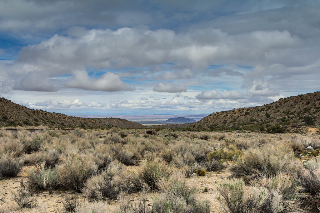
Largo Vista Desert View
california mountains landscape hiking nationalforest
Sunset over the San Gabriel and Pleasant View Ridge Wilderness Areas
blue trees winter sunset sky snow nature clouds canon outdoors view hiking scenic powershot socal summit southerncalifornia sierraclub hps cirrus sangabrielmountains angelesnationalforest project365 transverseranges hundredpeakssection sx260 mountwilliamsom
Snowy Summit, Project 365: 61/365
autumn color fall nature canon outdoors view hiking scenic powershot socal southerncalifornia goldenhour hps sangabrielmountains angelesnationalforest goldenlight s100 losangelescounty angelescresthighway hundredpeakssection mounthillayer poodledogbrush
Golden Poodle Dog
trees sunset ecology clouds forest canon landscape fire hiking socal pines 5d geography southerncalifornia hps sangabrielmountains markii angelesnationalforest losangelescounty transverseranges hundredpeakssection
The moment had arrived
sangabrielmountains sangabrielrange sangabrielwilderness california southerncalifornia transverseranges
Triplet Rocks
california silhouette landscape dawn desert joshuatree olympus getty e3 antelopevalley zuiko 2009 palmdale zd manfrotto804rc2 manfrotto190xprob 1260mm aperture21
Merry Christmas from the High Desert
autumn bw white black fall nature landscape outdoors haze view hiking southerncalifornia hps ridges sangabrielmountains angelesnationalforest losangelescounty angelescresthighway hundredpeakssection mounthillayer
Edge of the Angeles
View from Baden-Powell summit
california mountains landscape hiking nationalforest wilderness sangabrielmountains
Life is harsh on the ridge.
nature canon landscape outdoors december view hiking powershot socal wilderness southerncalifornia hps sangabrielmountains angelesnationalforest losangelescounty mountwaterman transverseranges hundredpeakssection sx260
Twin Peaks Ridge
nature canon landscape outdoors december view hiking powershot pacificocean telephoto socal catalinaisland wilderness southerncalifornia hps sangabrielmountains angelesnationalforest losangelescounty mountwaterman transverseranges hundredpeakssection sx260
Catalina Island from Mt Waterman
flowers bw plants sun white black tree nature grass canon landscape outdoors hiking powershot socal southerncalifornia hps sangabrielmountains angelesnationalforest s100 losangelescounty angelescresthighway hundredpeakssection winstonridge winstonpeak pleasantviewridgewilderness
everyday is the right day
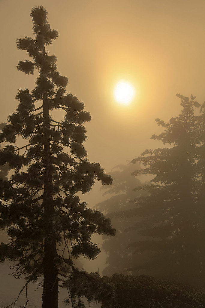
autumn plants nature landscape outdoors fallcolor view hiking scenic vegetation southerncalifornia goldenhour hps sangabrielmountains angelesnationalforest goldenlight losangelescounty chilao angelescresthighway hundredpeakssection mounthillayer
Flame of the Forest
sunrise angelescrestnationalforest ©shabdrophoto
Sun-Up Crest
tree pine conifer landscape losangeles angelesnationalforest angelescrest ca2 mountains mountain rock cliff steep snow frost winter california californiastateparks nationalforest
Stand Tall
ocean california nature clouds canon landscape outdoors fire unitedstates hiking burn vegetation southerncalifornia hps sangabrielmountains angelesnationalforest losangelescounty angelescresthighway canonef24105mmf4lisusm hundredpeakssection 5dm2 5dmii
San Gabriel's Vista from Mount Mooney [Explored]
california mountain snow canon landscape day zoom telephoto socal southerncalifornia ecofriendly lightroom zoomlens losangelescounty angelescresthighway adobelightroom canonef24105mm telephotozoom 60d canon60d stevewillard lightroom52
SoCal Mountain Vistas
california blue sky cloud white mountain green clouds canon landscape sand desert zoom joshuatree telephoto socal southerncalifornia antelopevalley cloudporn yuccabrevifolia llano ecofriendly lightroom zoomlens losangelescounty bouldercanyon adobelightroom canonef24105mm telephotozoom 60d canon60d 93544 stevewillard lightroom53
Old Pig Farm
UP 7468+7538+6329, Llano (CA)
november sun mist snow tree fall nature fog landscape haze hiking overcast explore socal pines vegetation southerncalifornia hps sangabrielmountains angelesnationalforest losangelescounty explored canonef24105mmf4lisusm mountwilliamson 5dm2 5dmii
Wake me when it's over [Explored]
fortnite burger activation mojave llano mobile gaming portal
Fornite Desert Burger
california angelesnationalforest bighornsheep losangelescounty oviscanadensis
Bighorn Sheep, Angeles National Forest, Los Angeles, California
sangabrielmountains sangabrielrange california southerncalifornia angelesnationalforest transverseranges
Bear Creek Canyon
california blue sky cloud white mountain green clouds canon landscape sand desert zoom joshuatree telephoto socal southerncalifornia antelopevalley cloudporn yuccabrevifolia llano ecofriendly lightroom zoomlens losangelescounty bouldercanyon adobelightroom canonef24105mm telephotozoom 60d canon60d tumblr 93544 stevewillard lightroom53
Old Pig Farm