Elevation of Oxbow Rd, Oxbow, ME, USA
Location: United States > Maine > Aroostook County > Oxbow >
Longitude: -68.457383
Latitude: 46.4196989
Elevation: 245m / 804feet
Barometric Pressure: 98KPa
Elevation Map:
Satellite Map:
Related Photos:

View from my office this morning.

Leaving camp on their way to the ocean via the Aroostook, St. john, Eel & St. Croix rivers.
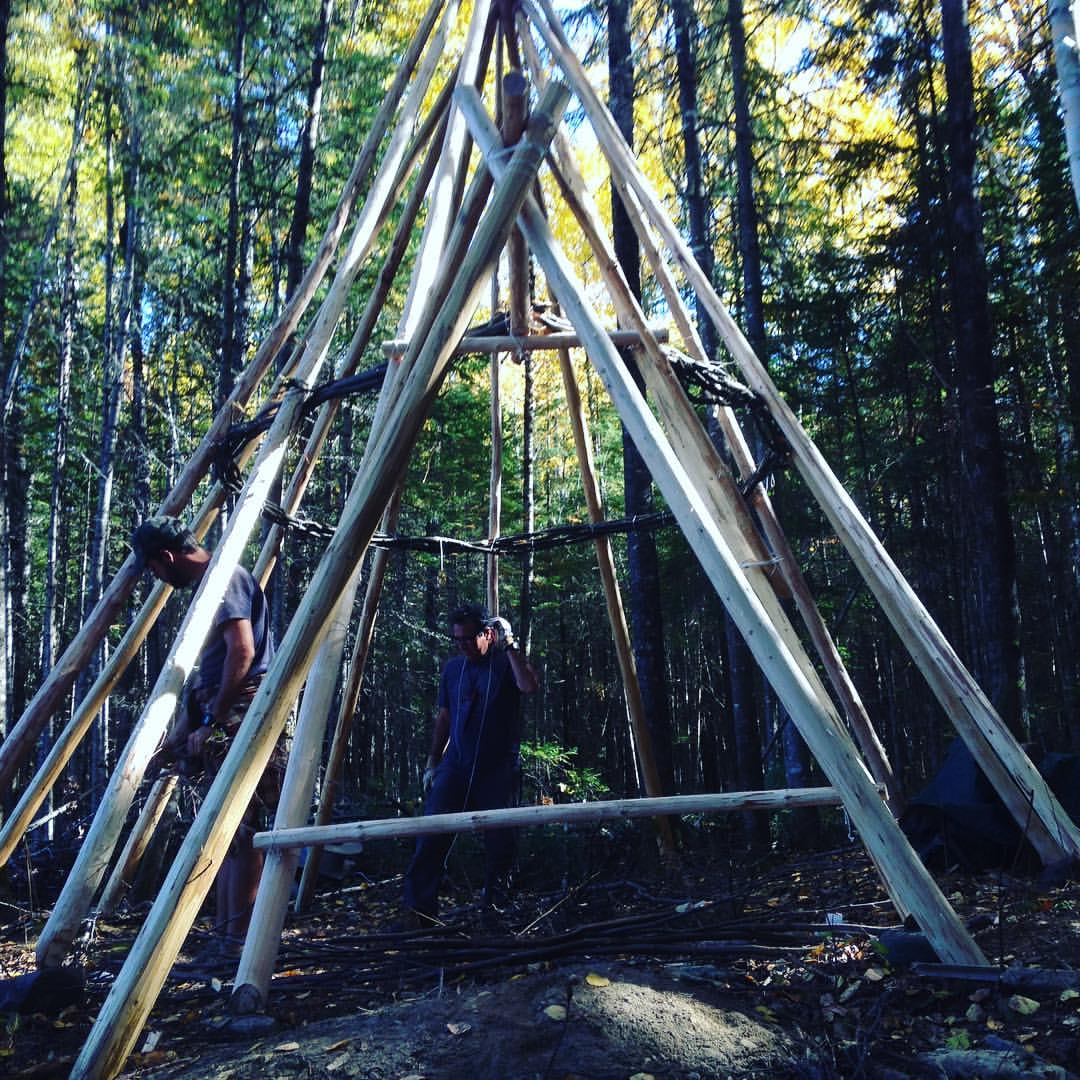
New winter shelter coming together. A big cone.
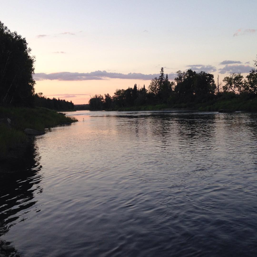
Sunset swim with the river all to myself. Clean after a day filled with sweat.

Canada Warbler

Image acquired by Sentinel-2B on 2019 January 25 at 15:39 UTC. Centre coordinates: 46.46 N, 68.28 W.
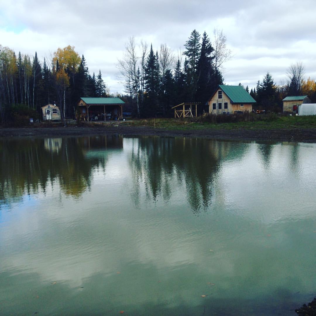
Empty field. Long term program number 37 completed. Great group, they accomplished a lot.

Putting meat in an improvised smoker. We'll eat well on our upcoming trip.

Free hand ash basket after pounding out the splints.

Two weeks stuck in camp with no truck. Daily interaction with this whiskey jack.

Carving a coal-burned spoon with a newly made crooked knife. #fulltanglifestyle #friluftsliv

Sealing a crack in a birch bowl with pitch to make it water tight. Rock boiling next. #fulltanglifestyle

Moose Tracks. Not just an ice cream flavor, also sometimes marks left by animals on the ground.

Pounding ash for pack basket splints. #fulltanglifestyle

First cast on the new, as yet to be named field school pond. Taking suggestions for the name.

Friction fire clinic: hand drill, just before lunch.

Birth of a fire. Made by friction.

Using a cabinet scraper to smooth a paddle grip.

Wet weather fire lighting on the Wilderness Bushcraft Semester.

Whiskey Jack posing, showing jis "blue Steel" signature look.

Whiskey Jack eating a breakfast of oats.

2 oven supper: 8" dutch and reflector oven sourdough under clear Aroostook skies.

Thinning a canoe paddle with a spoke shave. Finishing paddles today.

Big dutch oven dinner, served into a burned bowl. The outdoor life is a good life.
Topographic Map of Oxbow Rd, Oxbow, ME, USA
Find elevation by address:

Places near Oxbow Rd, Oxbow, ME, USA:
Oxbow
Oxbow Rd, Oxbow, ME, USA
1599 Oxbow Rd
Oxbow Rd, Oxbow, ME, USA
ME-11, Masardis, ME, USA
Masardis
Aroostook Scenic Hwy, Ashland, ME, USA
Sheridan Rd, Ashland, ME, USA
Ashland
Haystack Mountain
W Chapman Rd, Chapman, ME, USA
Chapman
170 Fox Hill Rd
Portage Lake
Castle Hill
Mapleton
Aroostook County
380 Carvell Rd
State Road
1513 Chapman Rd
Recent Searches:
- Elevation of Congressional Dr, Stevensville, MD, USA
- Elevation of Bellview Rd, McLean, VA, USA
- Elevation of Stage Island Rd, Chatham, MA, USA
- Elevation of Shibuya Scramble Crossing, 21 Udagawacho, Shibuya City, Tokyo -, Japan
- Elevation of Jadagoniai, Kaunas District Municipality, Lithuania
- Elevation of Pagonija rock, Kranto 7-oji g. 8"N, Kaunas, Lithuania
- Elevation of Co Rd 87, Jamestown, CO, USA
- Elevation of Tenjo, Cundinamarca, Colombia
- Elevation of Côte-des-Neiges, Montreal, QC H4A 3J6, Canada
- Elevation of Bobcat Dr, Helena, MT, USA