Elevation of Sheridan Rd, Ashland, ME, USA
Location: United States > Maine > Aroostook County > Ashland >
Longitude: -68.404368
Latitude: 46.6566243
Elevation: 174m / 571feet
Barometric Pressure: 99KPa
Elevation Map:
Satellite Map:
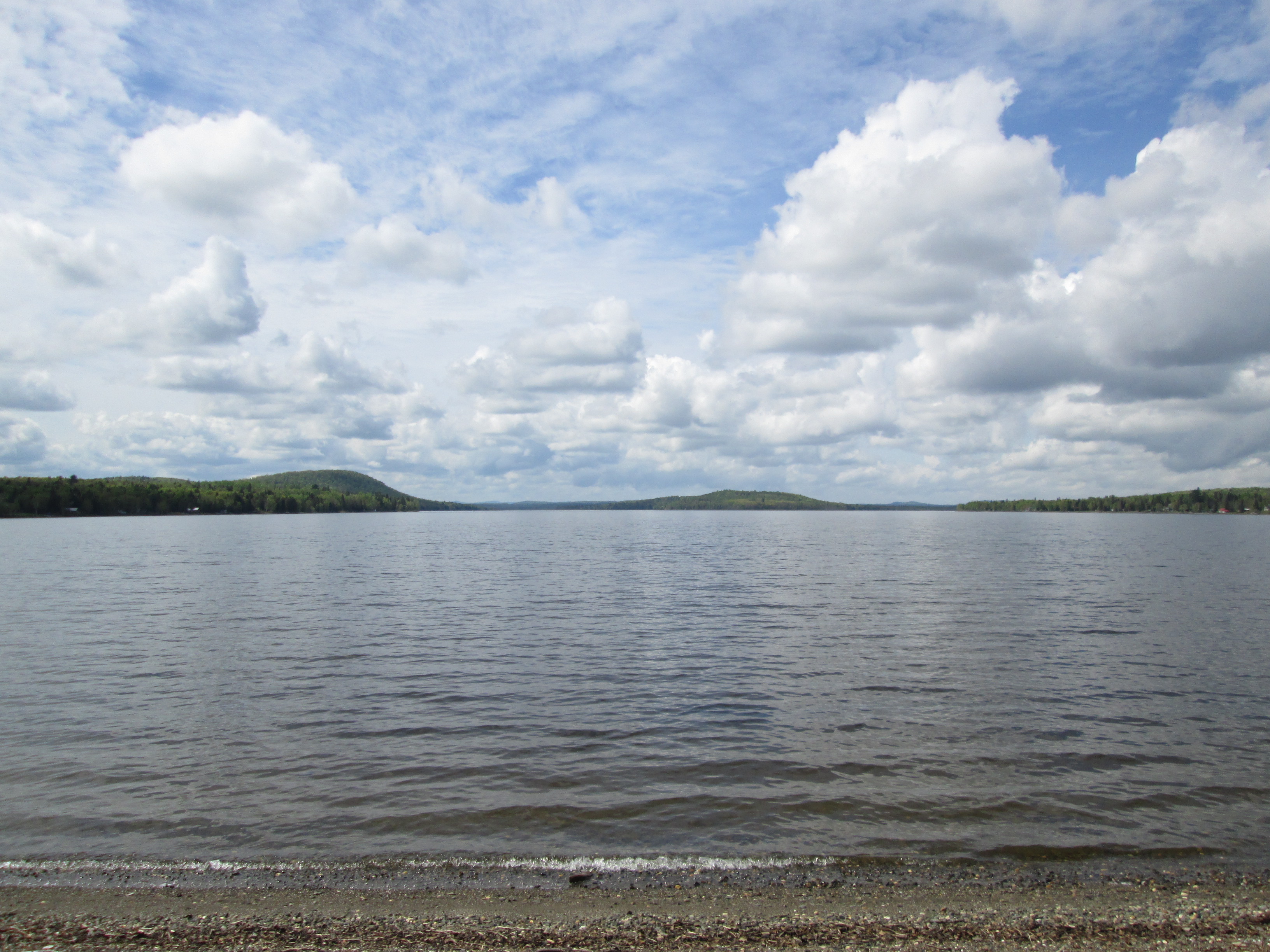
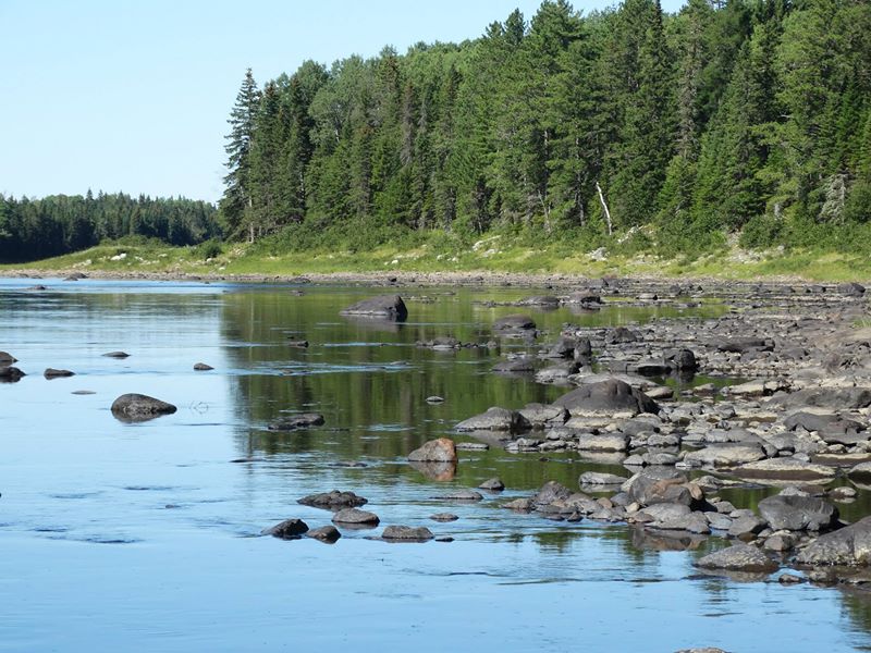
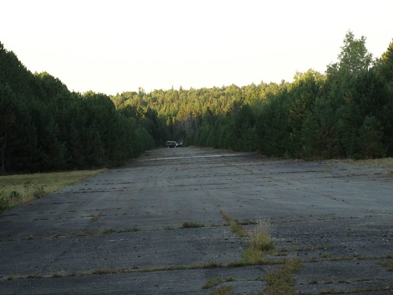
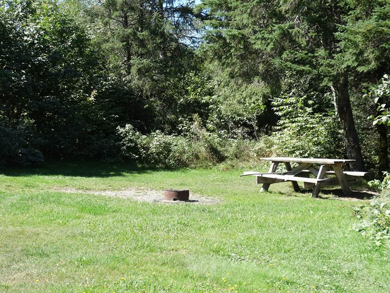
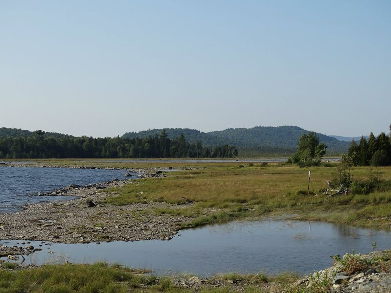
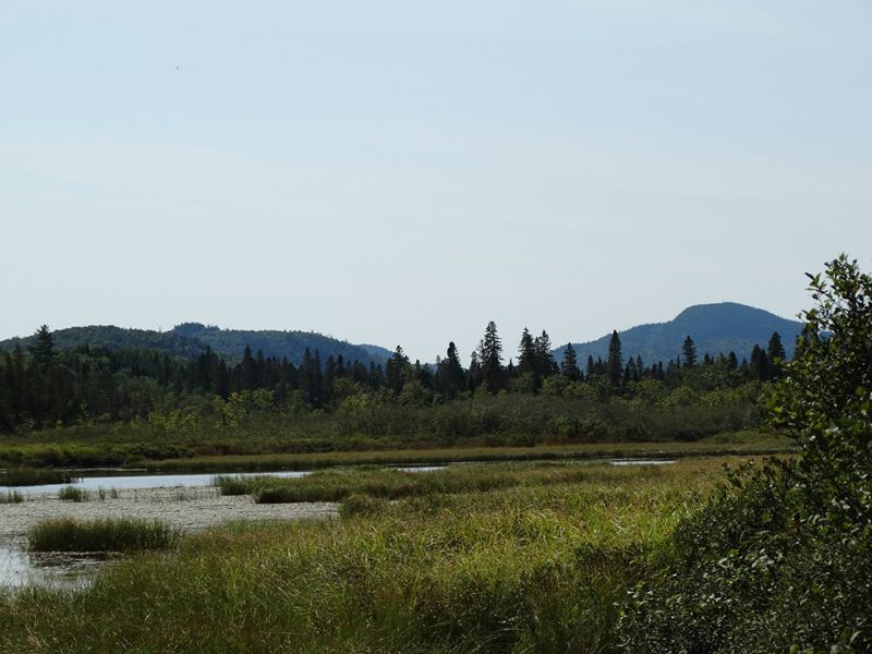
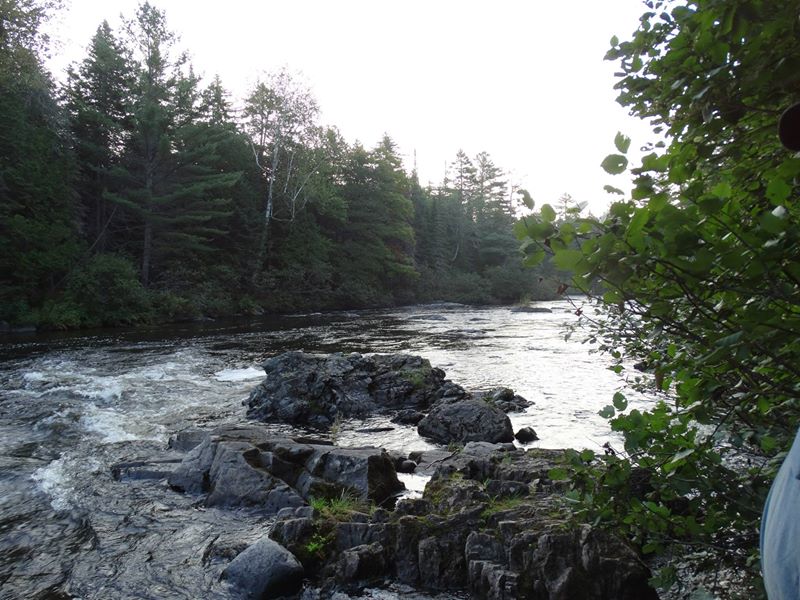
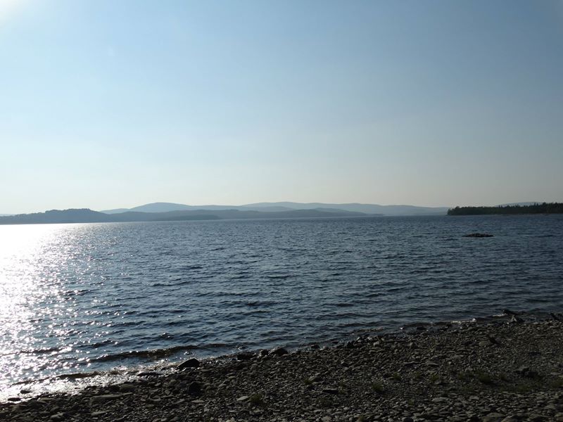
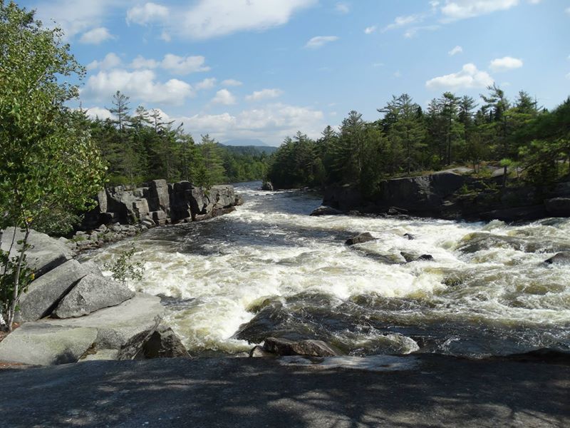
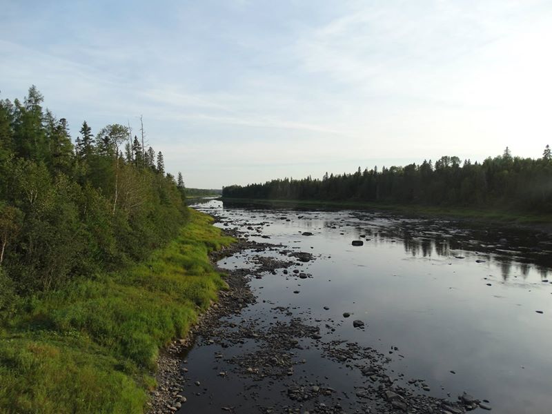
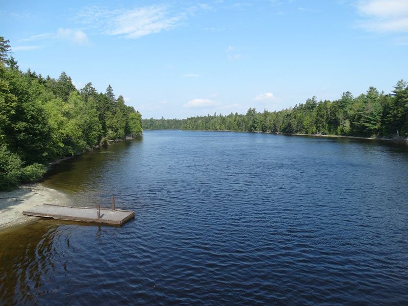
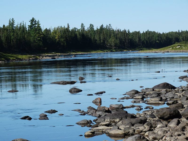
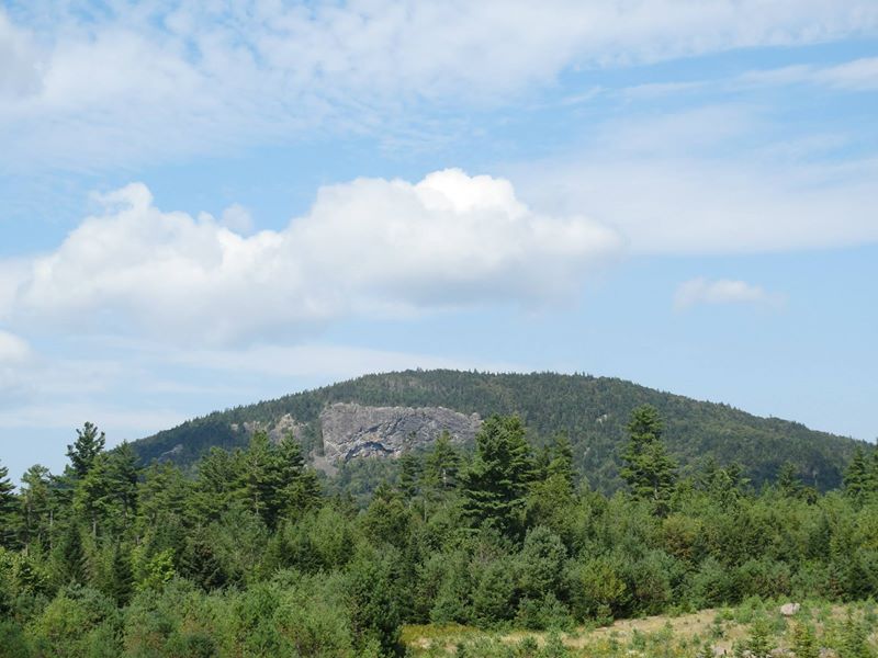
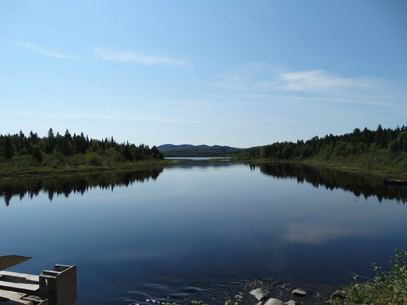
Related Photos:
IMG_4352
10152970728456574
10152970730831574

10152970734036574
10152970728151574
10152970733881574
10152970731471574
10152970734171574
10152970733911574
10152970734926574
10152970732171574
10152970734766574
10152970728416574
10152970734861574
10152970731101574
Topographic Map of Sheridan Rd, Ashland, ME, USA
Find elevation by address:

Places near Sheridan Rd, Ashland, ME, USA:
Ashland
Aroostook Scenic Hwy, Ashland, ME, USA
Masardis
ME-11, Masardis, ME, USA
170 Fox Hill Rd
Haystack Mountain
Portage Lake
Aroostook County
Castle Hill
871 Oxbow Rd
W Chapman Rd, Chapman, ME, USA
Chapman
Mapleton
Oxbow
Oxbow Rd, Oxbow, ME, USA
1599 Oxbow Rd
Oxbow Rd, Oxbow, ME, USA
State Road
High Meadow Rd, Perham, ME, USA
31 Riverside Dr, Washburn, ME, USA
Recent Searches:
- Elevation of Elwyn Dr, Roanoke Rapids, NC, USA
- Elevation of Congressional Dr, Stevensville, MD, USA
- Elevation of Bellview Rd, McLean, VA, USA
- Elevation of Stage Island Rd, Chatham, MA, USA
- Elevation of Shibuya Scramble Crossing, 21 Udagawacho, Shibuya City, Tokyo -, Japan
- Elevation of Jadagoniai, Kaunas District Municipality, Lithuania
- Elevation of Pagonija rock, Kranto 7-oji g. 8"N, Kaunas, Lithuania
- Elevation of Co Rd 87, Jamestown, CO, USA
- Elevation of Tenjo, Cundinamarca, Colombia
- Elevation of Côte-des-Neiges, Montreal, QC H4A 3J6, Canada