Elevation of Outagamie County, WI, USA
Location: United States > Wisconsin >
Longitude: -88.401604
Latitude: 44.4636545
Elevation: 242m / 794feet
Barometric Pressure: 98KPa
Elevation Map:
Satellite Map:
Related Photos:

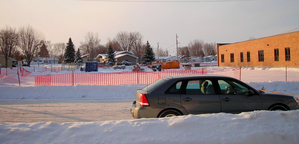
Freedom Cemetery Carpet
LOOKING FROM HOUSE TO WHERE BANKERS HOUSE WAS
BANKERS HOUSE TORE DOWN

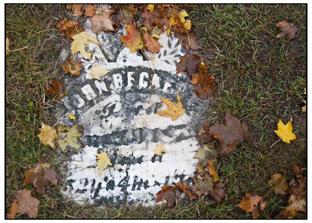
Murphy Headstone -St Nicholas Cemetery Freedom Wisconsin
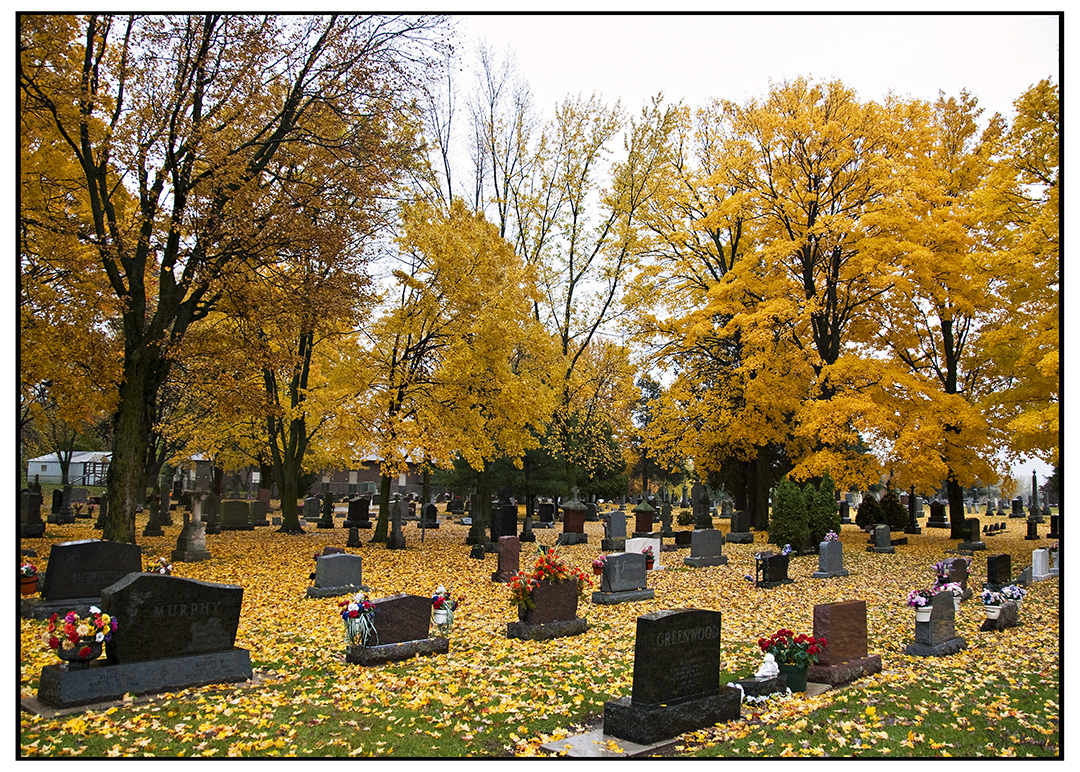
St Nicholas Cemetery Freedom Wisconsin
Tombstone in St. Nicholas, Freedom Wisconsin

Foggy Sunrise2_Color
2012-10-01 044.1

WC T044 at Black Creek

IPhone sunflowers! More to come...

20140125-3B2C1953-Edit

Storm Coming

Good Luck With That
Topographic Map of Outagamie County, WI, USA
Find elevation by address:

Places in Outagamie County, WI, USA:
Appleton
Dale
Freedom
Grand Chute
Maple Creek
Little Chute
Nichols
W5697
N1668
N4903
W7854
W4753
Kaukauna
Greenville
Miranda Street
Ellington
Hortonia
Greenville
Buchanan
Places near Outagamie County, WI, USA:
N4903
W4753
W5697
N4735 Wi-55
N4021 County Rd E
Thompson Road
Freedom
County Rd E, Freedom, WI, USA
Freedom
W6570 County Rd S
2814 Lanser Ct
4811 N Richmond St
4811 N Brookshire Dr
210 E Morning Glory Dr
4735 N Newcastle Ln
3013 E Greenleaf Dr
Grand Chute Blvd, Appleton, WI, USA
Ellington
3532 Tulip Trail
Shiocton
Recent Searches:
- Elevation of Corso Fratelli Cairoli, 35, Macerata MC, Italy
- Elevation of Tallevast Rd, Sarasota, FL, USA
- Elevation of 4th St E, Sonoma, CA, USA
- Elevation of Black Hollow Rd, Pennsdale, PA, USA
- Elevation of Oakland Ave, Williamsport, PA, USA
- Elevation of Pedrógão Grande, Portugal
- Elevation of Klee Dr, Martinsburg, WV, USA
- Elevation of Via Roma, Pieranica CR, Italy
- Elevation of Tavkvetili Mountain, Georgia
- Elevation of Hartfords Bluff Cir, Mt Pleasant, SC, USA