Elevation of Nichols, WI, USA
Location: United States > Wisconsin > Outagamie County >
Longitude: -88.463434
Latitude: 44.563042
Elevation: 242m / 794feet
Barometric Pressure: 98KPa
Elevation Map:
Satellite Map:
Related Photos:
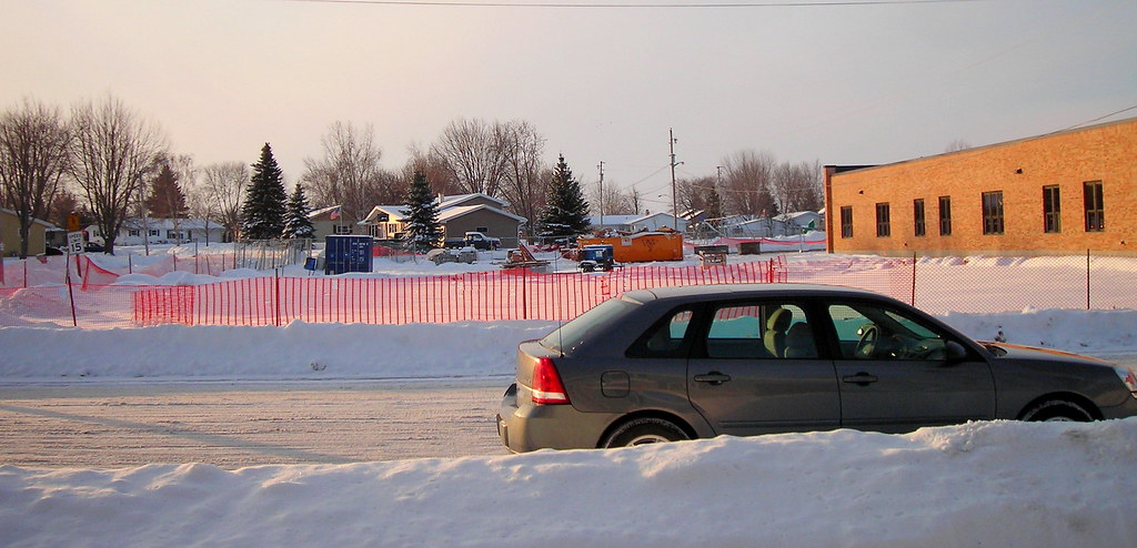
LOOKING FROM HOUSE TO WHERE BANKERS HOUSE WAS
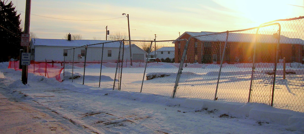
BANKERS HOUSE TORE DOWN
Topographic Map of Nichols, WI, USA
Find elevation by address:

Places in Nichols, WI, USA:
Places near Nichols, WI, USA:
Pine St, Nichols, WI, USA
278 Maple View Rd
301 N Maple St
Outagamie County
W5697
W4753
Thompson Road
Shiocton
N4903
W6570 County Rd S
Ellington
Angelica
WI-, Bonduel, WI, USA
Old Wisconsin 29, Pulaski, WI, USA
W7854
Pulaski
N4021 County Rd E
Cecil
Freedom
County Rd E, Freedom, WI, USA
Recent Searches:
- Elevation of Congressional Dr, Stevensville, MD, USA
- Elevation of Bellview Rd, McLean, VA, USA
- Elevation of Stage Island Rd, Chatham, MA, USA
- Elevation of Shibuya Scramble Crossing, 21 Udagawacho, Shibuya City, Tokyo -, Japan
- Elevation of Jadagoniai, Kaunas District Municipality, Lithuania
- Elevation of Pagonija rock, Kranto 7-oji g. 8"N, Kaunas, Lithuania
- Elevation of Co Rd 87, Jamestown, CO, USA
- Elevation of Tenjo, Cundinamarca, Colombia
- Elevation of Côte-des-Neiges, Montreal, QC H4A 3J6, Canada
- Elevation of Bobcat Dr, Helena, MT, USA