Elevation of Buchanan, WI, USA
Location: United States > Wisconsin > Outagamie County >
Longitude: -88.216902
Latitude: 44.2624528
Elevation: 214m / 702feet
Barometric Pressure: 99KPa
Elevation Map:
Satellite Map:
Related Photos:
Appleton, Wisconsin

"Sumac Though The Window"

This is why I love Wisconsin. It's amazing the views I see from my bike.

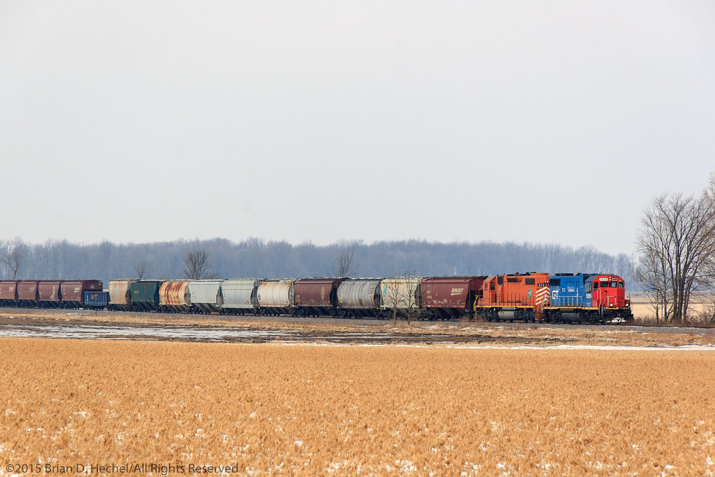
C&NW Kaukauna-Manitowoc RR calumet hr

Yet another pic of a Taco Bell...

downtown Kaukauna

St Nicholas Cemetery Freedom Wisconsin

Holga Lens View Up the Trail

Kaukauna Wig Wag.

In the Way of Beauty

highlight reel

3/52-2013 "Home is wherever we are if there's love there too."

Little Chute Lock

cassidy's freightliner

Walk in the Valley

C&NW Kaukauna-Manitowoc RR pizza hut

TPP-7

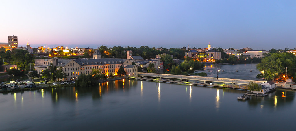
Downtown Appleton

open van pete

Studio View

Attic View

sunrise south of Sherwood (explored)

Last Ride

High Cliff State Park
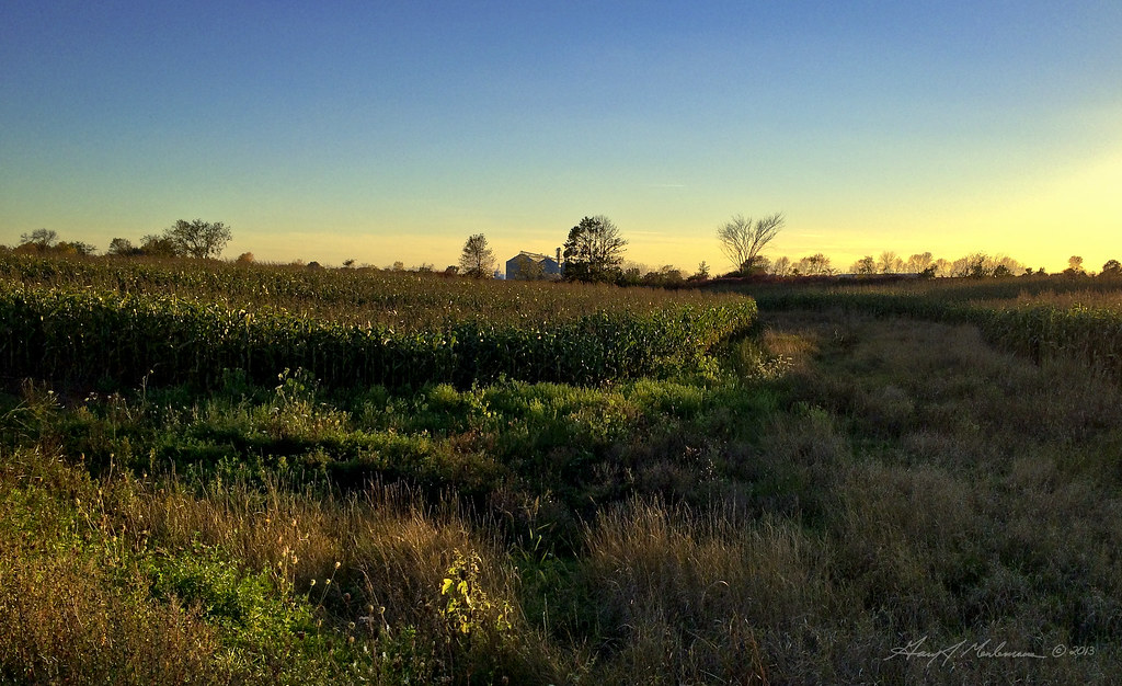
Last Years Corn

the broken road

Partly Cloudy with a Chance of Awesome *Explored*
A44791-20

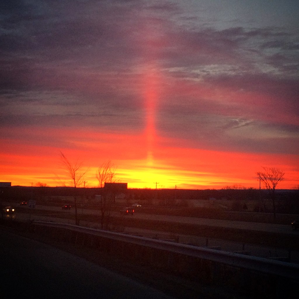
Fire in the Sky

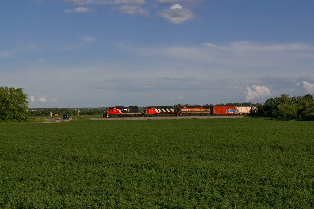
CN - Appleton Swing Bridge
Trying to Throw Your Arms Around the World

LedgeStone Vineyards

2015-12-29 On the way to help shovel my sister out of the #snow ❄ #Wisconsin

29-52/2014 ~ High Cliff Shooting Adventure

Double-Crested Cormorant on the Fox River

Riverside walk 1

Summer Sky
Spike in the Sky

July 31st 2011 weather

Weather Moving In

Fourth of July Sunset, 2014
Topographic Map of Buchanan, WI, USA
Find elevation by address:

Places in Buchanan, WI, USA:
Places near Buchanan, WI, USA:
W242 Hawks Nest Ln
Expera Specialty Solutions - Kaukauna
109 Seymour St
209 E 9th St
Kaukauna
Lincoln Avenue
Lincoln Avenue
Depot Street
Depot Street
216 Whitney St
500 W 11th St
211 Hayes St
Royal St. Patrick's Golf Links
Poplar St, Wrightstown, WI, USA
Miranda Street
N8912
Ruys Ct
N7671
Sherwood
Darboy
Recent Searches:
- Elevation of Congressional Dr, Stevensville, MD, USA
- Elevation of Bellview Rd, McLean, VA, USA
- Elevation of Stage Island Rd, Chatham, MA, USA
- Elevation of Shibuya Scramble Crossing, 21 Udagawacho, Shibuya City, Tokyo -, Japan
- Elevation of Jadagoniai, Kaunas District Municipality, Lithuania
- Elevation of Pagonija rock, Kranto 7-oji g. 8"N, Kaunas, Lithuania
- Elevation of Co Rd 87, Jamestown, CO, USA
- Elevation of Tenjo, Cundinamarca, Colombia
- Elevation of Côte-des-Neiges, Montreal, QC H4A 3J6, Canada
- Elevation of Bobcat Dr, Helena, MT, USA