Elevation of Orme St, Palo Alto, CA, USA
Location: United States > California > Santa Clara County > Palo Alto > Barron Park >
Longitude: -122.13212
Latitude: 37.4090297
Elevation: 19m / 62feet
Barometric Pressure: 101KPa
Elevation Map:
Satellite Map:
Related Photos:
On A Budget in Mountain View
Snail In Hose
Plastic Lifesaver
Fire breathing dragon

California Coastal Fog (explored)
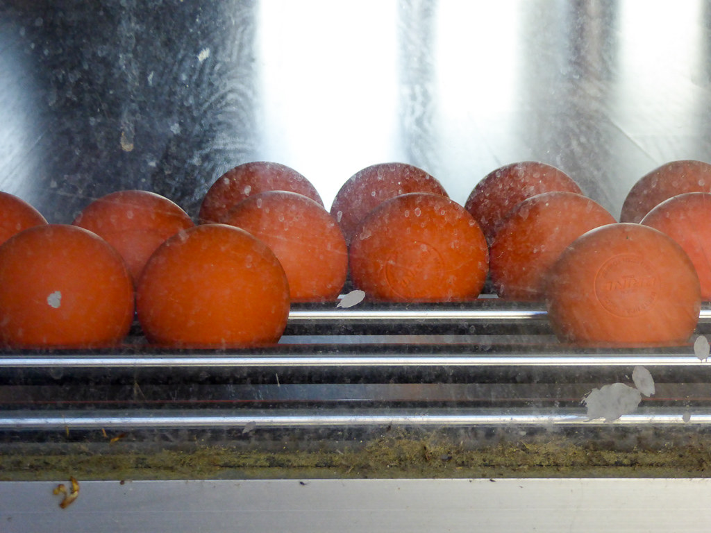
Belly Balls
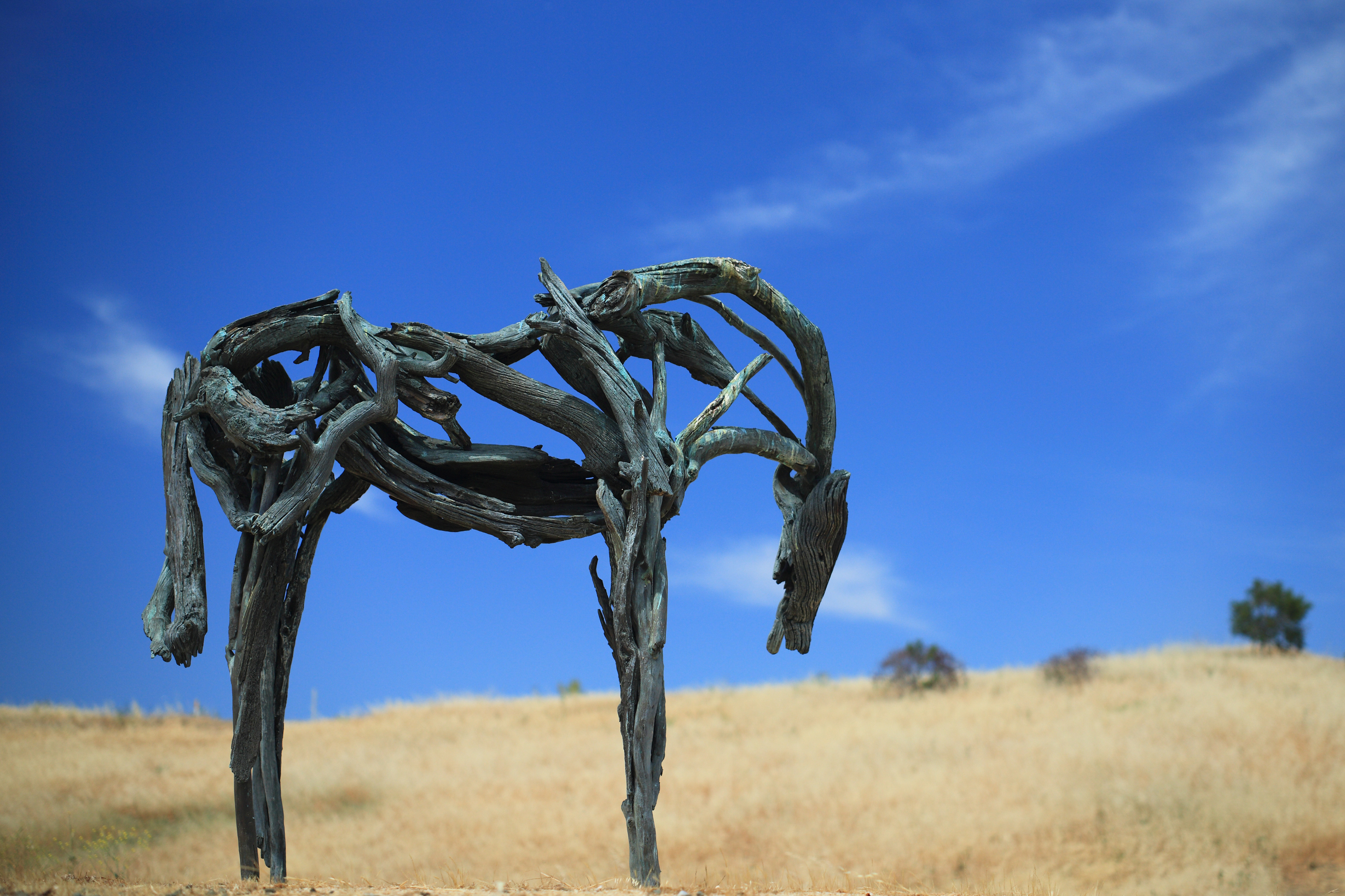
Bronze Horse by Deborah Butterfield

Northern Harrier-IMG_1671-MV baylands-Crop

IMG_2314 Forster's Tern
A Walk to Rengstorff House (circa 1867) (HFF)

Geese (HSS)
California Avenue Street Light

Bicycle Seat
Morning Water

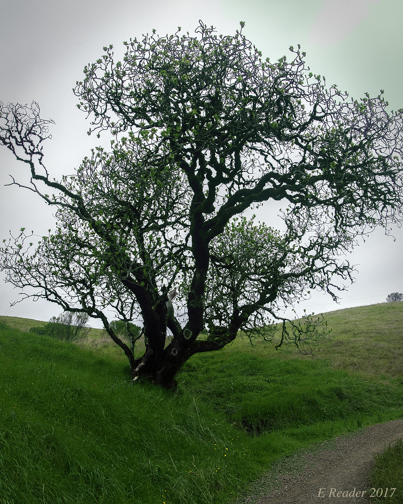
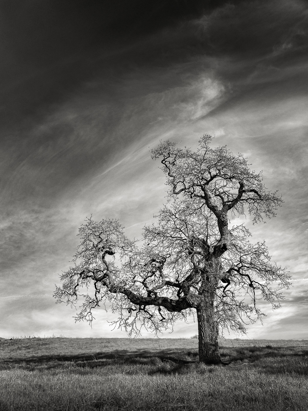
Gnarled Oak

IMG_1380 Let Me Feed You, Honey.
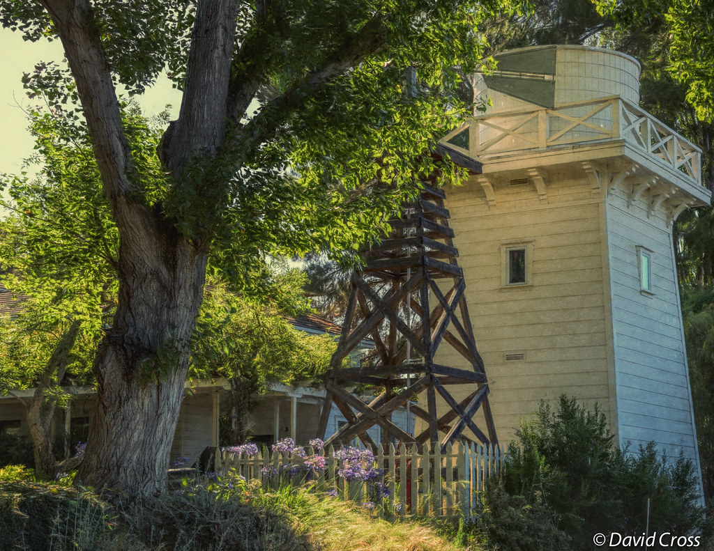
The Rancho

Jacaranda Litter

Color On Weathered Grey

IMG_5922 Forster's Tern Hovering, Mountain View Shoreline Park, California

Red On Purple

Heavenly Shades of Night are Falling -- Reprise

Fields of Gold

Door of opportunities :)

Heavenly shades of night are falling, it's twilight time ...
Palo Alto Baylands
Monte Bello Open Space Preserve

Gentle Afterglow
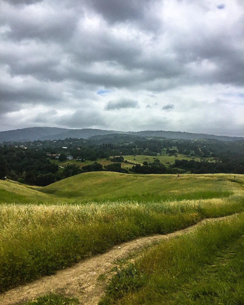
Springtime Awakening

Trees and Rays

There is something about nature that makes me feel happy.
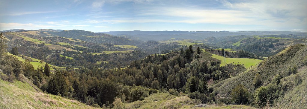
IMG_20170311_123526-PANO

Home on the Farm
#hiking #california #nature

Arastradero Pasture

Trail to Heaven
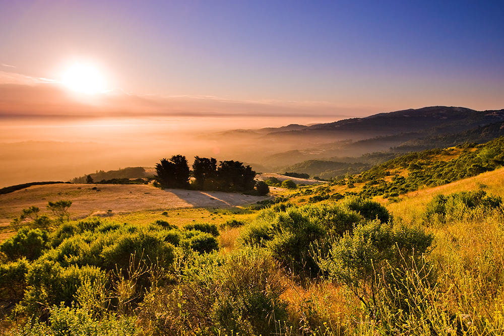
Skyline Sunrise

My Favorite Tree
A Tree near Paseo del Roble Trail

DSC00963.JPG
Topographic Map of Orme St, Palo Alto, CA, USA
Find elevation by address:

Places near Orme St, Palo Alto, CA, USA:
880 Los Robles Ave
4008 Laguna Way
900 Los Robles Ave
4111 Donald Dr
700 Los Robles Ave
Green Acres
973 Ilima Way
Barron Park
588 Thain Way
Magnolia Drive
3826 Magnolia Dr
Henry M Gunn High School
Kendall Avenue
3305 El Camino Way
4248 Los Palos Pl
827 Matadero Ave
548 Barron Ave
3897 El Camino Real
Stanford/va Alzheimer's Research Center
3691 El Camino Real
Recent Searches:
- Elevation of Tenjo, Cundinamarca, Colombia
- Elevation of Côte-des-Neiges, Montreal, QC H4A 3J6, Canada
- Elevation of Bobcat Dr, Helena, MT, USA
- Elevation of Zu den Ihlowbergen, Althüttendorf, Germany
- Elevation of Badaber, Peshawar, Khyber Pakhtunkhwa, Pakistan
- Elevation of SE Heron Loop, Lincoln City, OR, USA
- Elevation of Slanický ostrov, 01 Námestovo, Slovakia
- Elevation of Spaceport America, Co Rd A, Truth or Consequences, NM, USA
- Elevation of Warwick, RI, USA
- Elevation of Fern Rd, Whitmore, CA, USA