Elevation of Los Robles Ave, Palo Alto, CA, USA
Location: United States > California > Santa Clara County > Palo Alto > Barron Park >
Longitude: -122.13043
Latitude: 37.4130006
Elevation: 15m / 49feet
Barometric Pressure: 101KPa
Elevation Map:
Satellite Map:
Related Photos:

IMG_8090 Snowy Egret, Mountain View Shoreline Park, CA
Perfect view?

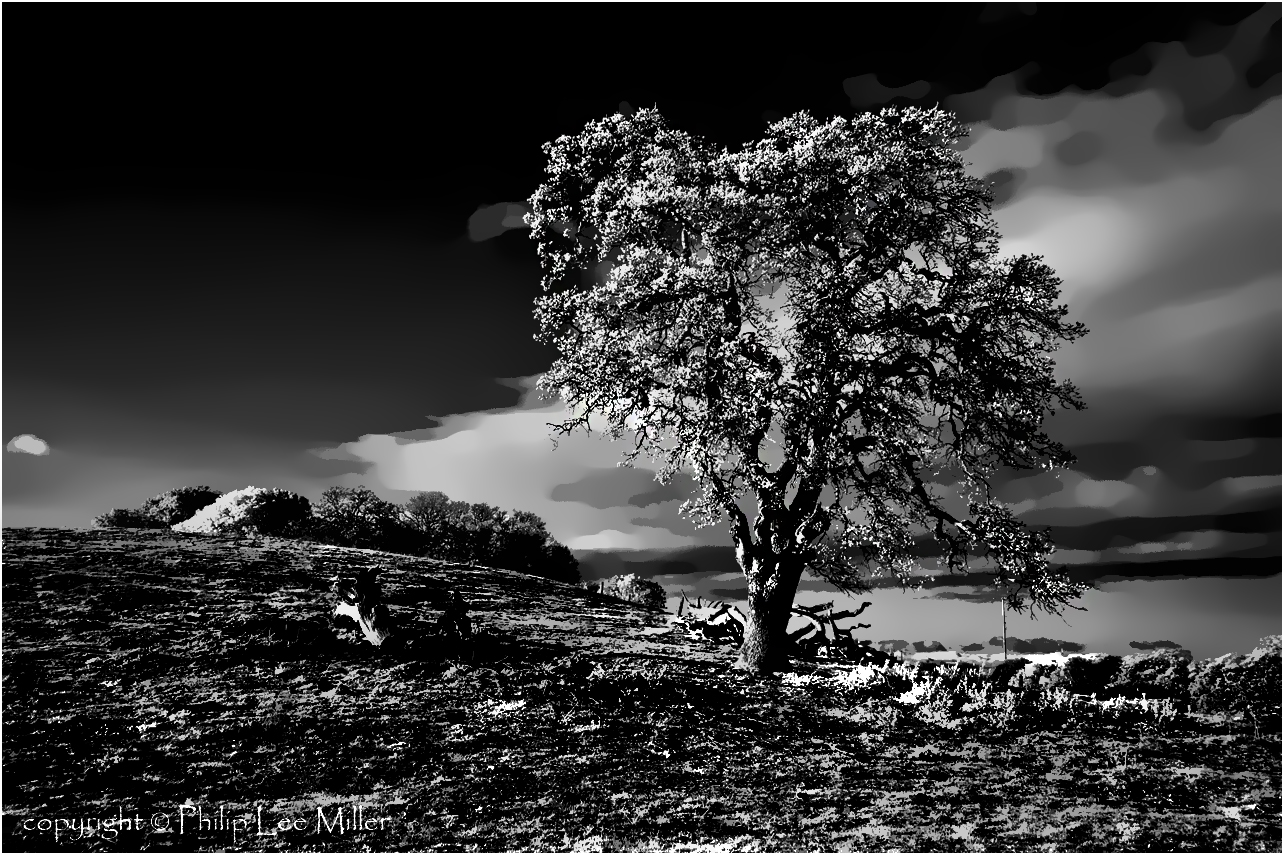
Gnarled Oak

sometimes you just need to wet your beak | atherton, ca

IMG_1380 Let Me Feed You, Honey.
If Trees Could Talk

It Pays to be a 'Morning Person'

IMG_2314 Forster's Tern
What a cute kid :)

IMG_3580 Black-Crowned Night Heron
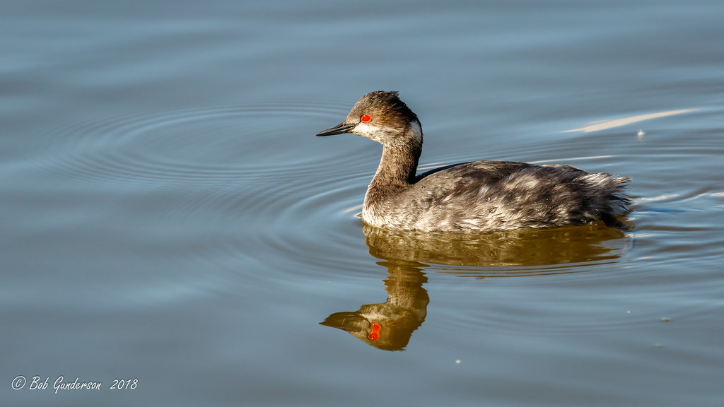
Eared Grebe with just a hint of the breeding plumage
Next To The Adobe

IMG_0173 Here I Come! Mountain View Shoreline Park, CA
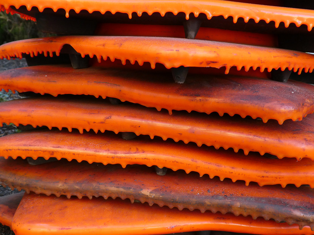
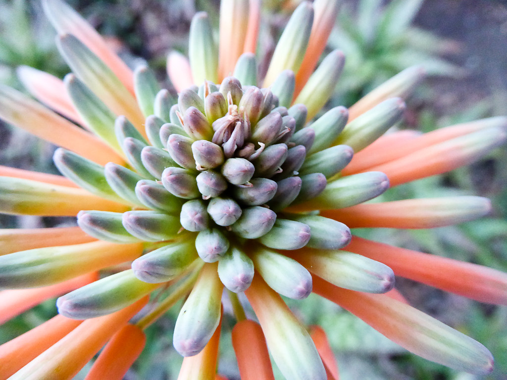
Cone Drips

view from the Palo Alto hills down to the bay.

Mary Avenue Bridge
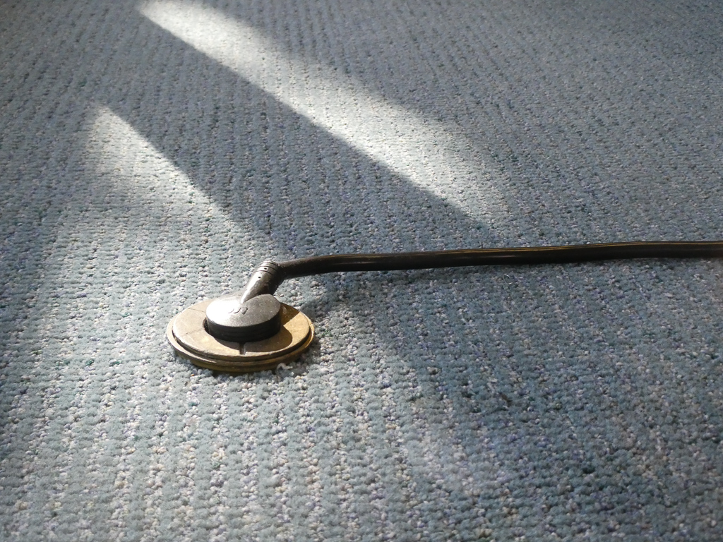
Floor Cord
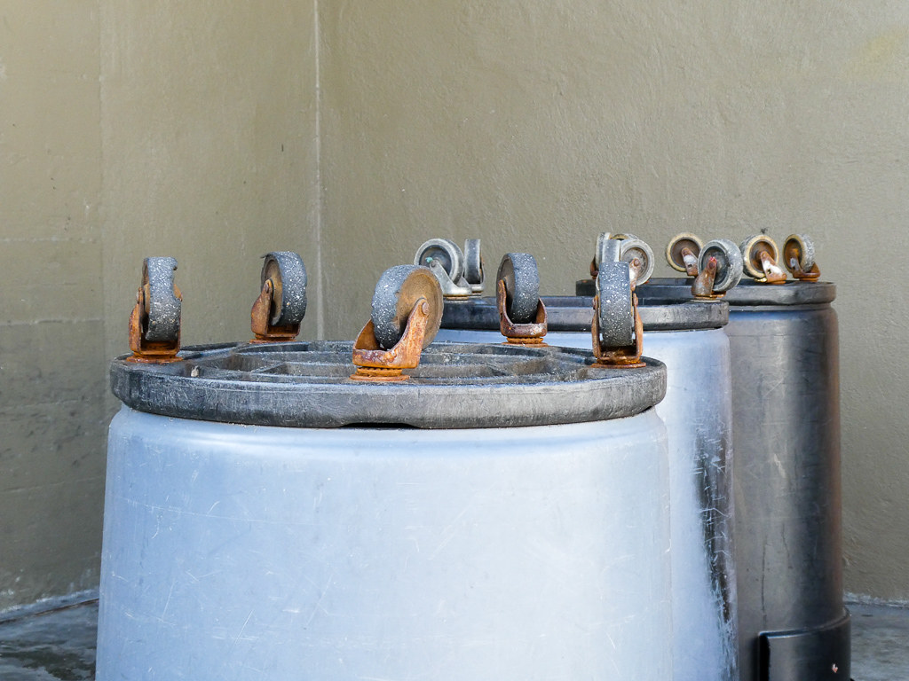
Wheels Up

Closing Time

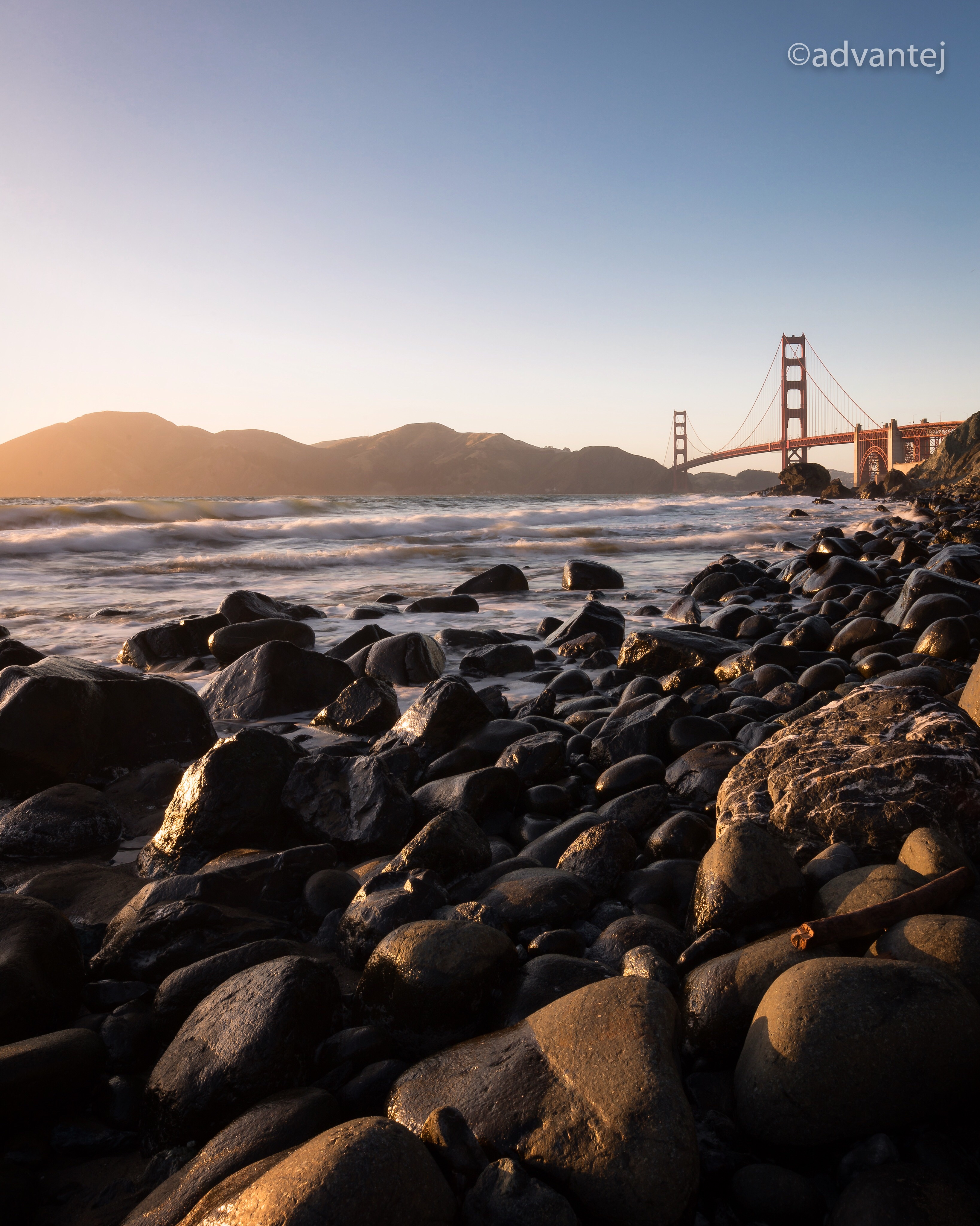
Into the Sunset (Highway 101)
Mud Hat
Yesterday afternoon stroll.

April Skies | Palo Alto

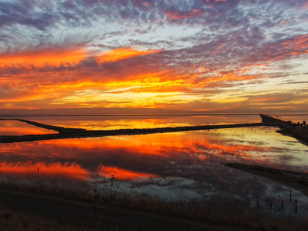
Alviso Blue Hour

And the wind cries Mary

Fields of Gold

Door of opportunities :)

Arastradero Pasture

~~Garden of PEACE #2~~

Trail to Heaven

Dumbarton Pier 06.jpg

Alle Fotos-58
Central Park

My Favorite Tree

Redwood Shores

Gentle Afterglow

Shade and reflections
Trees and Rays

Spider Tree
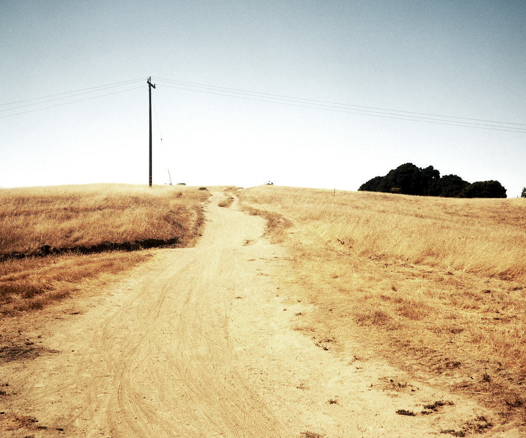
trail uphill
No Name Trail
Topographic Map of Los Robles Ave, Palo Alto, CA, USA
Find elevation by address:

Places near Los Robles Ave, Palo Alto, CA, USA:
Magnolia Drive
3305 El Camino Way
588 Thain Way
3826 Magnolia Dr
3897 El Camino Real
4035 Orme St
880 Los Robles Ave
548 Barron Ave
Green Acres
Kendall Avenue
900 Los Robles Ave
4008 Laguna Way
Barron Park
3691 El Camino Real
3950 Park Blvd
421 Matadero Ave
3915 Park Blvd
4111 Donald Dr
973 Ilima Way
827 Matadero Ave
Recent Searches:
- Elevation of Congressional Dr, Stevensville, MD, USA
- Elevation of Bellview Rd, McLean, VA, USA
- Elevation of Stage Island Rd, Chatham, MA, USA
- Elevation of Shibuya Scramble Crossing, 21 Udagawacho, Shibuya City, Tokyo -, Japan
- Elevation of Jadagoniai, Kaunas District Municipality, Lithuania
- Elevation of Pagonija rock, Kranto 7-oji g. 8"N, Kaunas, Lithuania
- Elevation of Co Rd 87, Jamestown, CO, USA
- Elevation of Tenjo, Cundinamarca, Colombia
- Elevation of Côte-des-Neiges, Montreal, QC H4A 3J6, Canada
- Elevation of Bobcat Dr, Helena, MT, USA