Elevation of Los Palos Pl, Palo Alto, CA, USA
Location: United States > California > Santa Clara County > Palo Alto >

Longitude: -122.12516

Latitude: 37.4047128

Elevation: 22m / 72feet

Barometric Pressure: 101KPa

Elevation Map:

elevation map of Los Palos Pl, Palo Alto, CA, USA
Satellite Map:

Satellite map of Los Palos Pl, Palo Alto, CA, USA
Related Photos:

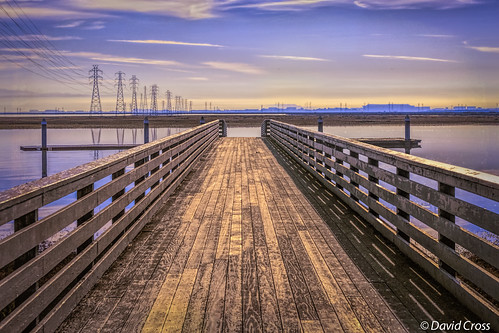
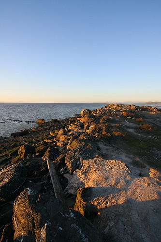
reflections pier powerlines sanfranciscobayarea paloalto sanfranciscobay southbay santaclaracounty canon70200mm28l southsanfranciscobay baylandpreserve canon5dmarkiii lightroom5 topazsw
Long Walks on Short Piers
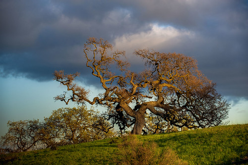
california ca sunset usa tree us oak day unitedstates cloudy paloalto hdr gnarled exposureblending photomatix dishtrail standforduniversity
Gnarled Oak
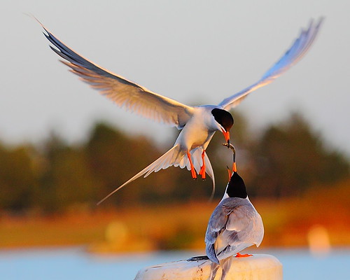
park mountain canon is view shoreline l usm tern 100400mm forsterstern forsters coth greatshots topshots specanimal photosandcalendar natureselegantshots panoramafotografico coth5 theoriginalgoldseal flickrsportal flickrportal ringexcellence dblringexcellence tplringexcellence eltringexcellence
IMG_1380 Let Me Feed You, Honey.
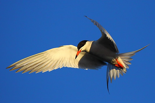
park mountain canon is view shoreline l usm tern 100400mm forsterstern forsters coth supershot avianexcellence bestcapturesaoi ringexcellence dblringexcellence tplringexcellence
IMG_5922 Forster's Tern Hovering, Mountain View Shoreline Park, California
mountainview potd
Wire Hooks
park mountain view great shoreline explore egret greategret ringexcellence dblringexcellence tplringexcellence
IMG_0173 Here I Come! Mountain View Shoreline Park, CA
mountainview potd
Four In One
mountainview potd shadow shadows
Shadow Bike
mountainview potd
Break Chairs
mountainview potd
Cone Drips
mountainview potd
Wheels Up
marbledgodwit shorelineatmountainview paloalto california unitedstates us
Marbled Godwit
road park fence point happy shadows path framed hill dump trail 100views friday vanishing hdr landfill baylands menlo bayfront hff photomatix tonemapped 5186 5187 5188
The Road Less Travelled...
californa canadiangeese canon5dmarkiii canonef24105mmf4lisusm geese lightroom5 mountainview santaclaracounty shoreline shorelinepark southbay southsanfranciscobay topazsw
Geese (HSS)
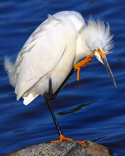
park mountain canon is view snowy shoreline l usm egret 100400mm snowyegret coth supershot specanimal coth5 ringexcellence dblringexcellence tplringexcellence eltringexcellence
IMG_1917 Snowy Egret
mountainview potd
Out Back Of The Church
mountainview potd
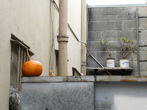
Pumpkin Perch
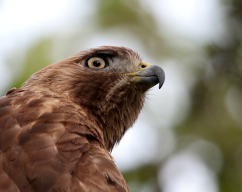
Juvenile Red-tailed Hawk (Buteo jamaicensis) - Hunting mode (5 of 5)
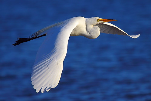
park mountain bravo view great shoreline egret greategret ringexcellence blinkagain dblringexcellence tplringexcellence peregrino27life eltringexcellence
IMG_6389 Great Egret
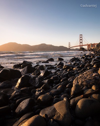
sunset sanfrancisco goldengatebridge evening lowlight canon
Perfect view?
mountainview potd
Lone Chair
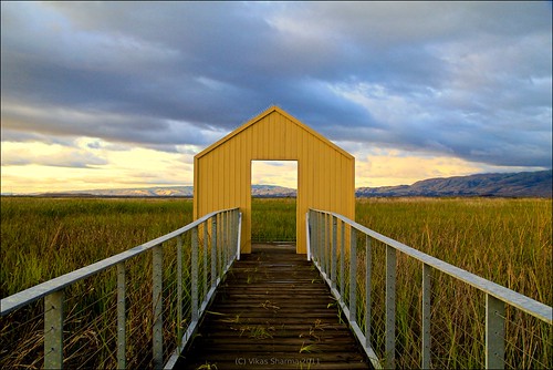
california park ca sunset favorite usa lake plant green nature water colors yellow canon landscape landscapes woods waterdrop colorful exposure bayarea greenwater canon60d platinumheartaward
Door of opportunities :)
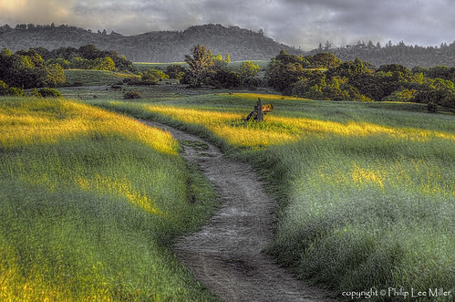
longridge hdr3 sky clouds grass nature trail overcast story danielhoherd hdr field unitedstates danielaustinhoherd california 15mm nikond70 d70 nikon santacruzcounty cielo santacruz northerncalifornia sanfranciscobayarea ƒ22 iso200 ƒ220 sanmateocounty datetaken:month=09 datetaken:year=2007 datetaken:day=23 usa datetaken:date=20070923 sunday 云彩 草 雲 datetaken:calendarday=0923
Trail to Heaven
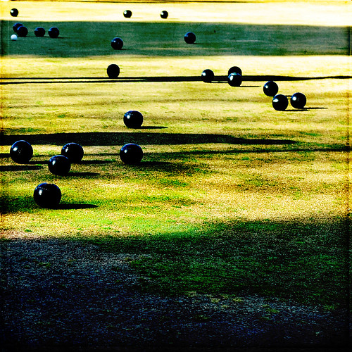
texture 50mm shadows hcs iwonder nikond700 grassbowling flypapertexture •sarahp• clichesaturday heavilyprocessedburmudagrass scavengerhuntshadows
I wonder
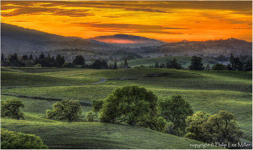
california sunset nature grass fog landscape hdr rollinghills sanfranciscopeninsula windingroads californiaoaktrees magicunicornverybest topazdetail
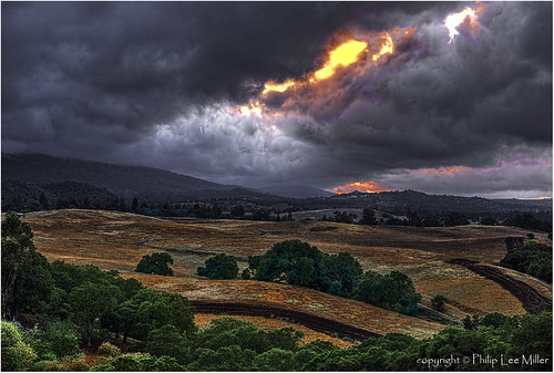
Heavenly shades of night are falling, it's twilight time ...
california sunset nature grass landscape woodside legacy hdr rollinghills stormclouds hypothetical sanmateocounty windingroads d7000 californiaoaktrees topazdetail galleryoffantasticshots trueexcellence1
And the wind cries Mary
california trees nature grass clouds landscape trails sunsets hdr rollinghills fieldsofgold arastraderopreserve d7000 daarklands magicunicornmasterpiece topazdetail explored7000
Fields of Gold
california road trees grass afternoon dirt grasses grassland palo alto grasslands arastradero
Arastradero Pasture
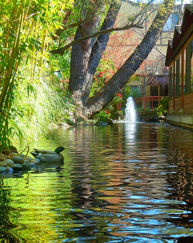
ponds zengardens earlymarch californiagardens mygearandme ringexcellence waterinthegardens dinahsgardenhote
~~Garden of PEACE #2~~
Yesterday afternoon stroll.
Dumbarton Pier 06.jpg
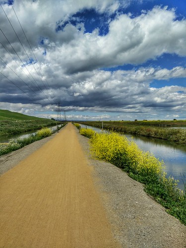
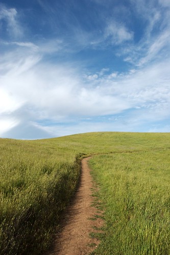
california sky grass clouds path trail bayarea april paloalto siliconvalley southbay arastradero arastraderopreserve
April Skies | Palo Alto
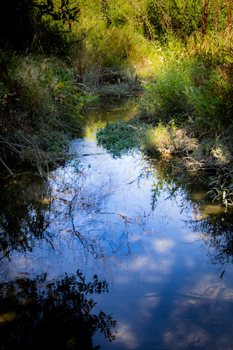
blue sky reflection green water clouds mountainview stevenscreektrail
Shade and reflections
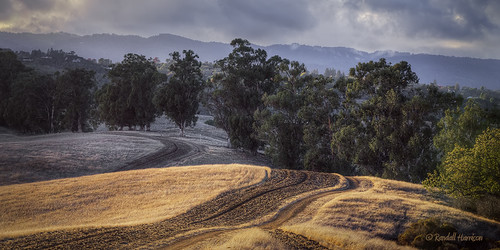
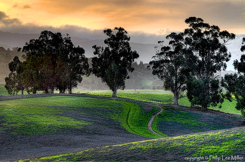
california nature grass landscape trails hdr rollinghills arastraderopreserve eucalyptustrees d7000 topazdetail rememberthatmomentlevel4 rememberthatmomentlevel1 rememberthatmomentlevel2 rememberthatmomentlevel3 rememberthatmomentlevel7 rememberthatmomentlevel5 rememberthatmomentlevel6
Gentle Afterglow
tree lone fremontolder curtbianchi iphone4 lomob irisphotosuite
My Favorite Tree
panorama film grass 35mm fuji horizon hill fnd dry 202 sensia russianridge midpeninsularegionalopenspacedistrict
grassy hill
ranchosanantoniopark uploaded:by=flickrmobile flickriosapp:filter=salamander salamanderfilter
Spider Tree
california trees sunset nature grass clouds landscape hdr coastalrange californiaoaks d7000 magicunicornverybest topazdetail galleryoffantasticshots
Trees and Rays
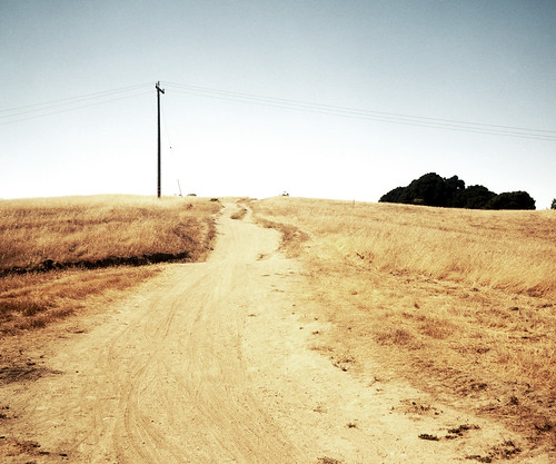
sky 120 tlr film grass rolleiflex kodak hill trail utilitypole portra russianridge midpeninsularegionalopenspacedistrict 160nc
trail uphill
california sunset fremont coyotehills ebparksok
No Name Trail
square squareformat iphoneography instagramapp xproii uploaded:by=instagram foursquare:venue=4a8723a4f964a520cf0220e3
Stanford and Palo Alto
california sunset clouds landscape alviso sigma1020 alvisomarinacountypark abigfave canoneos50d canon50d lee09hardstepgnd
Alviso Blue Hour