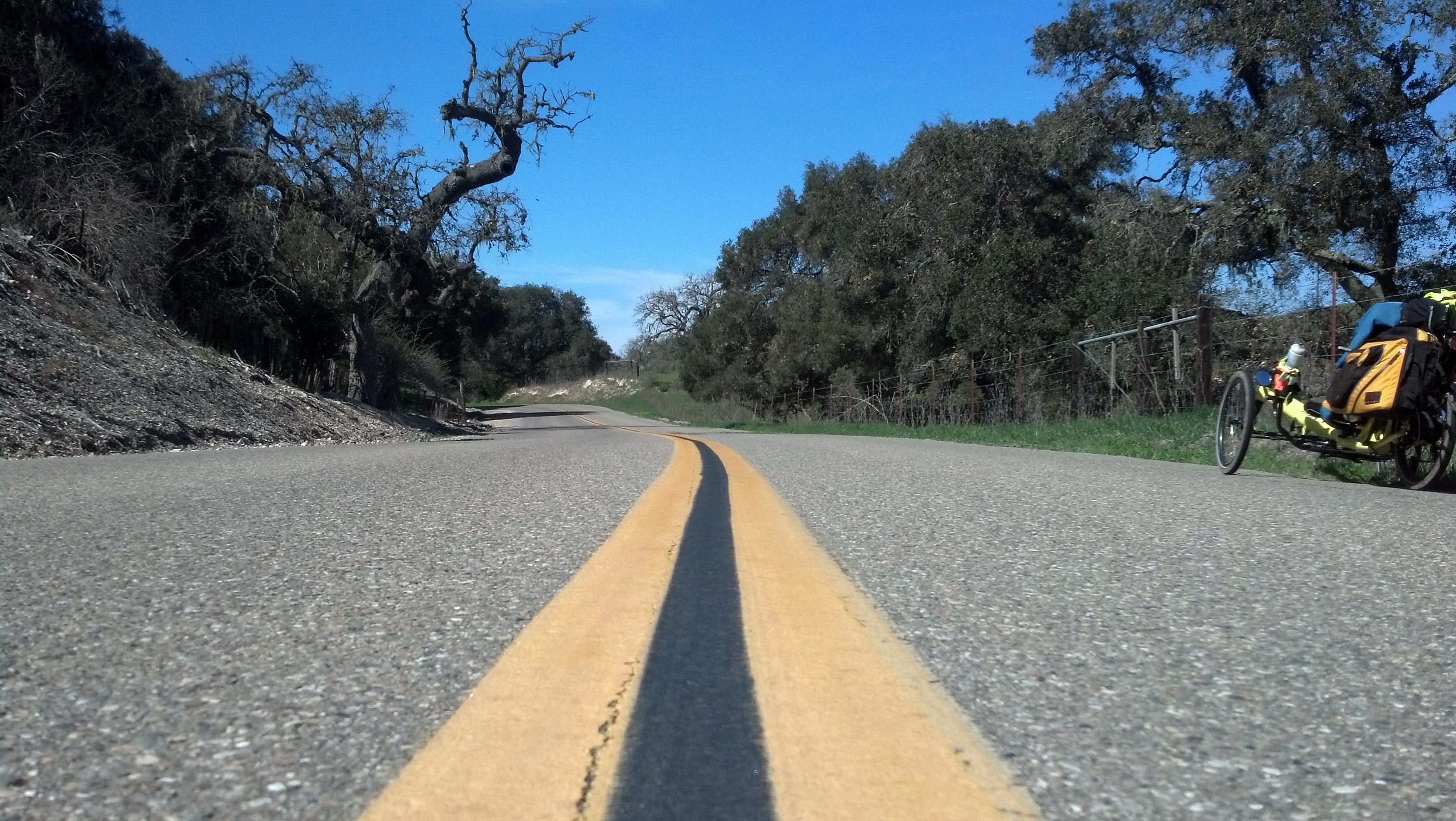
Elevation of Olivera Canyon Rd, Santa Maria, CA, USA
Location: United States > California > Santa Barbara County > Santa Maria >
Longitude: -120.26697
Latitude: 34.846089
Elevation: 214m / 702feet
Barometric Pressure: 99KPa
Elevation Map:
Satellite Map:
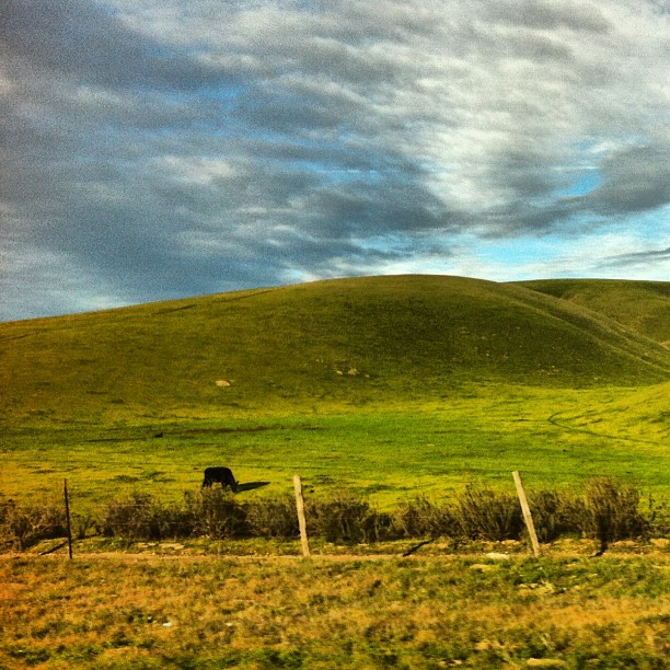
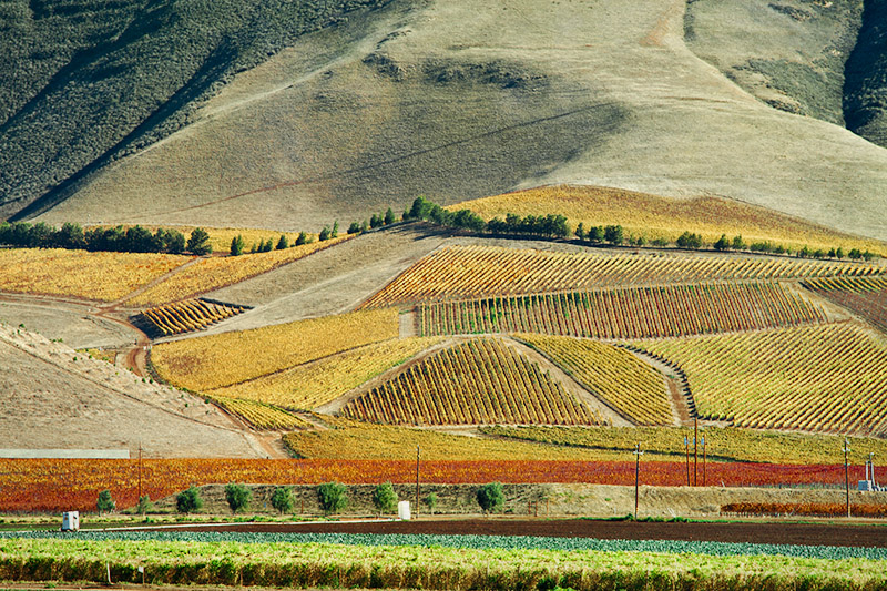
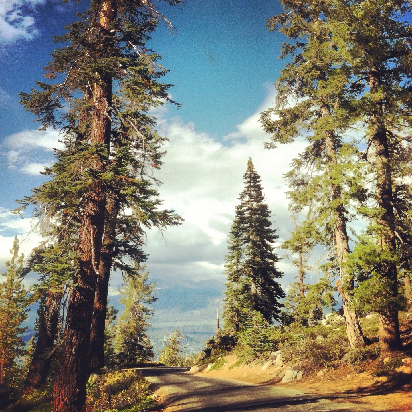
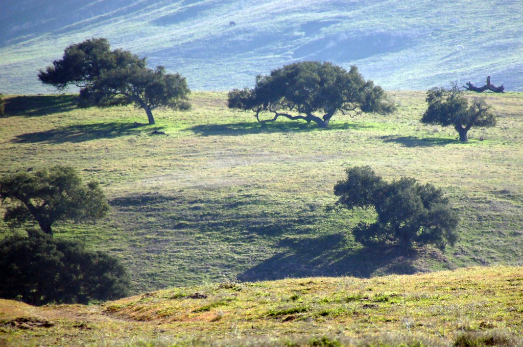
Related Photos:
street view
Melody Market
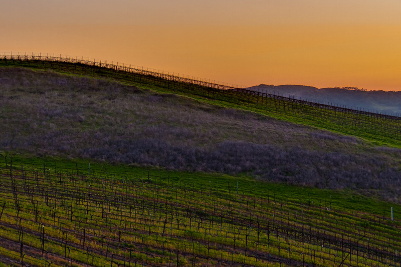
Before The Haze Burns Off

Items for Jenny to choose from!

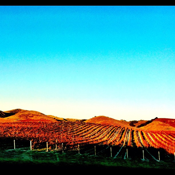
Kenneth Volk Vineyards, Santa Maria, CA 2010
Morning views #nofilter #centralcoastsunrise
2013-02-26_12-53-25_474
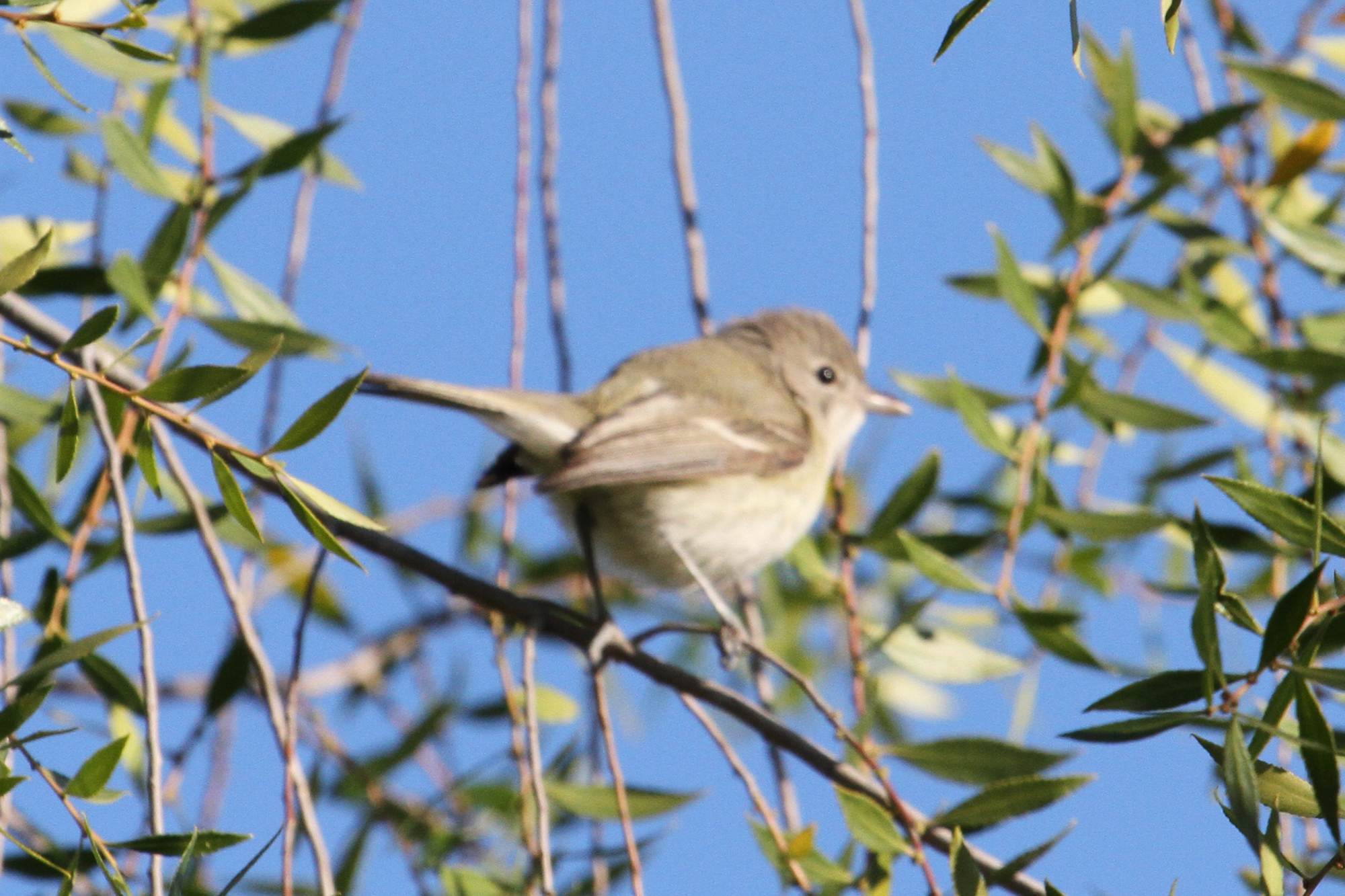
Bell’s Vireo (Vireo bellii)

Garden At Kenneth Volk Vineyards, Santa Maria, CA 2010

A view dear to my heart
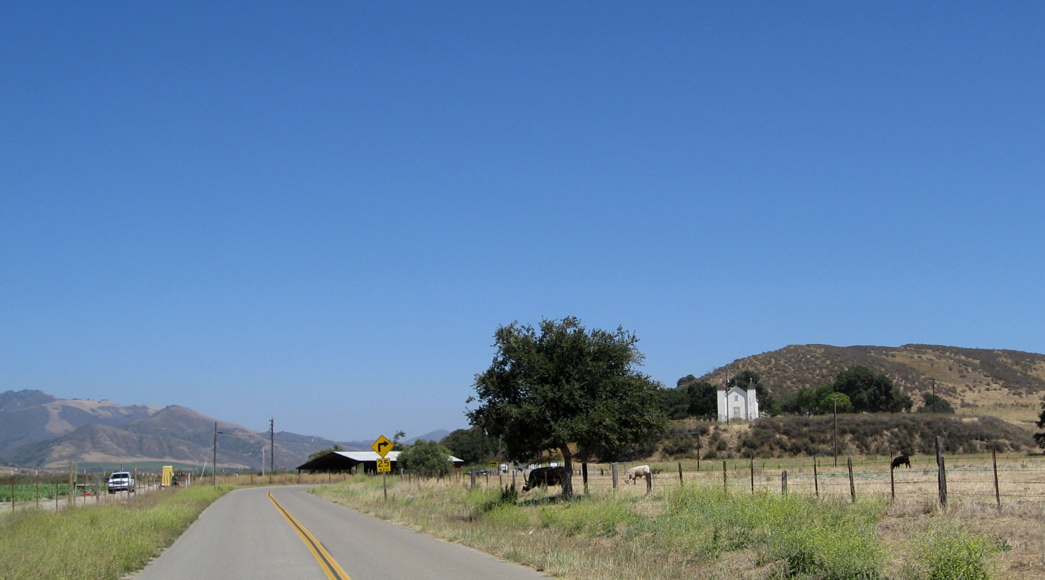
Foxen Canyon Road Chapel 2940a
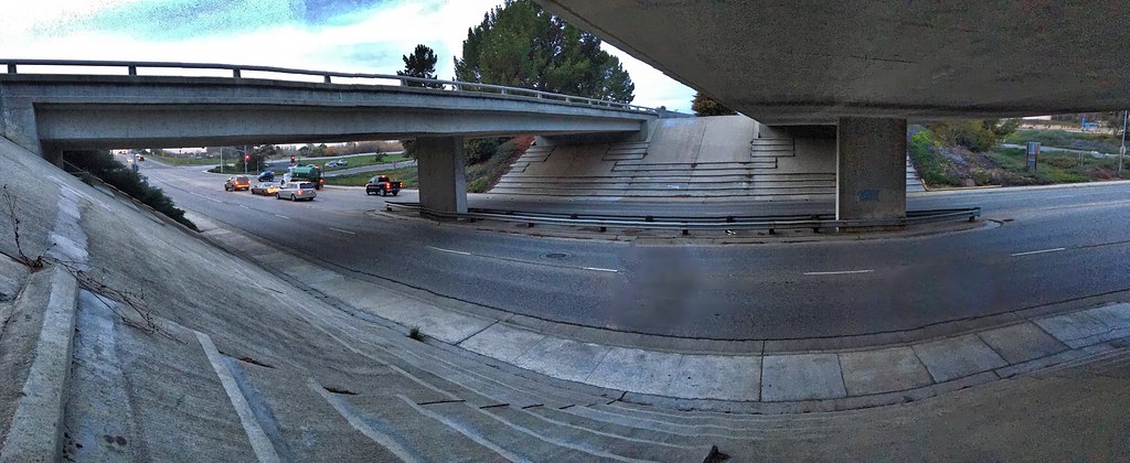
2016 PHOTOCHALLENGE WEEK 2: VIEW FROM UNDER THE BRIDGE – HDR

2013-02-26_12-54-11_61

Bell’s Vireo (Vireo bellii)

Bell’s Vireo (Vireo bellii)

Bell’s Vireo (Vireo bellii)

Bell’s Vireo (Vireo bellii)

View from the Kenneth Volk tasting room

Bell’s Vireo (Vireo bellii)

Bell’s Vireo (Vireo bellii)

Goodchild Vineyard
Set in gold

101 N, Santa Barbara county
Excuse Me While I Kiss The Sky
Color For Peggy

On the road to your dreams...

Tribute to New Color Photography / New Topographics 31

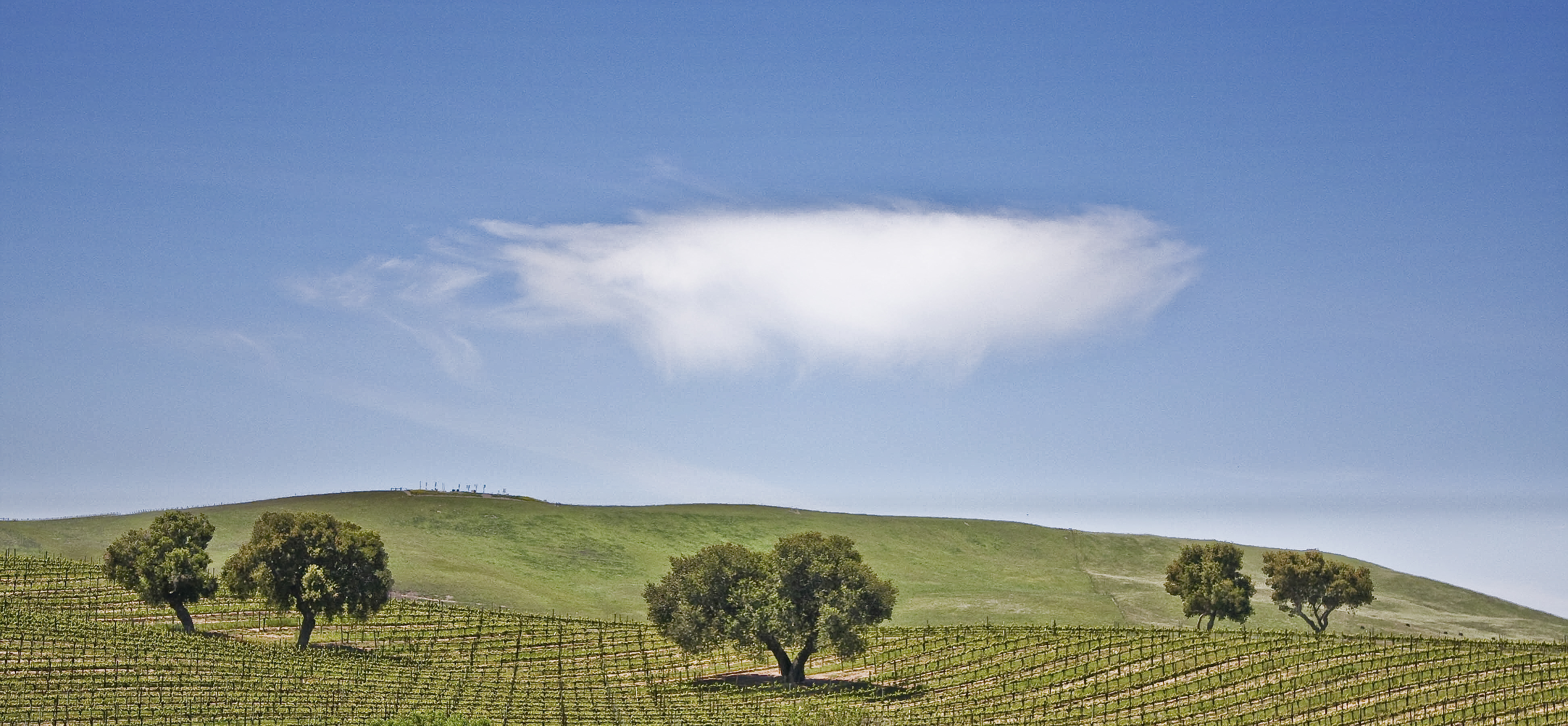
Oak Tree and Chardonnay

Orcutt California
This Old House
From #city #life to #country #living and #cows
Vineyard Patterns
Pictures by monicag13
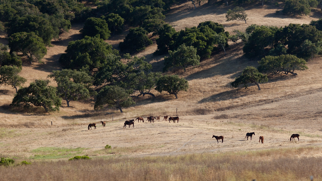
California Coastal Rangeland
101 FTW
On the Road to SLO

Gwen and Wardrum, no filter
Hey... Be Careful Out There
20110807_i07_8012.jpg
DSC_0708F~11544_hdr
Topographic Map of Olivera Canyon Rd, Santa Maria, CA, USA
Find elevation by address:

Places near Olivera Canyon Rd, Santa Maria, CA, USA:
Long Canyon Road
Wicks St, Santa Maria, CA, USA
Orcutt Hill Rd, Santa Maria, CA, USA
Stillwell Rd, Santa Maria, CA, USA
1276 Hollysprings Ln
71 E Main St, Santa Maria, CA, USA
4421 Boardwalk Ln
1145 Via Pavion
5702 Paige Ct
1152 Hilltop Rd
4845 S Bradley Rd
Jones St, Santa Maria, CA, USA
741 Raymond Ave
3536 Dakota Dr
Orcutt
196 Stansbury Dr
1502 Marilyn Way
1502 Marilyn Way
1523 Marilyn Way
1523 Marilyn Way
Recent Searches:
- Elevation of Congressional Dr, Stevensville, MD, USA
- Elevation of Bellview Rd, McLean, VA, USA
- Elevation of Stage Island Rd, Chatham, MA, USA
- Elevation of Shibuya Scramble Crossing, 21 Udagawacho, Shibuya City, Tokyo -, Japan
- Elevation of Jadagoniai, Kaunas District Municipality, Lithuania
- Elevation of Pagonija rock, Kranto 7-oji g. 8"N, Kaunas, Lithuania
- Elevation of Co Rd 87, Jamestown, CO, USA
- Elevation of Tenjo, Cundinamarca, Colombia
- Elevation of Côte-des-Neiges, Montreal, QC H4A 3J6, Canada
- Elevation of Bobcat Dr, Helena, MT, USA