Elevation of Old Wendell Rd, Northfield, MA, USA
Location: United States > Massachusetts > Franklin County > Northfield >
Longitude: -72.425395
Latitude: 42.654819
Elevation: 390m / 1280feet
Barometric Pressure: 97KPa
Elevation Map:
Satellite Map:
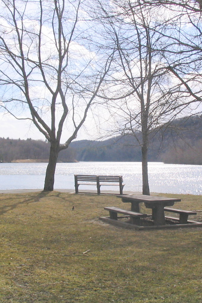
Related Photos:

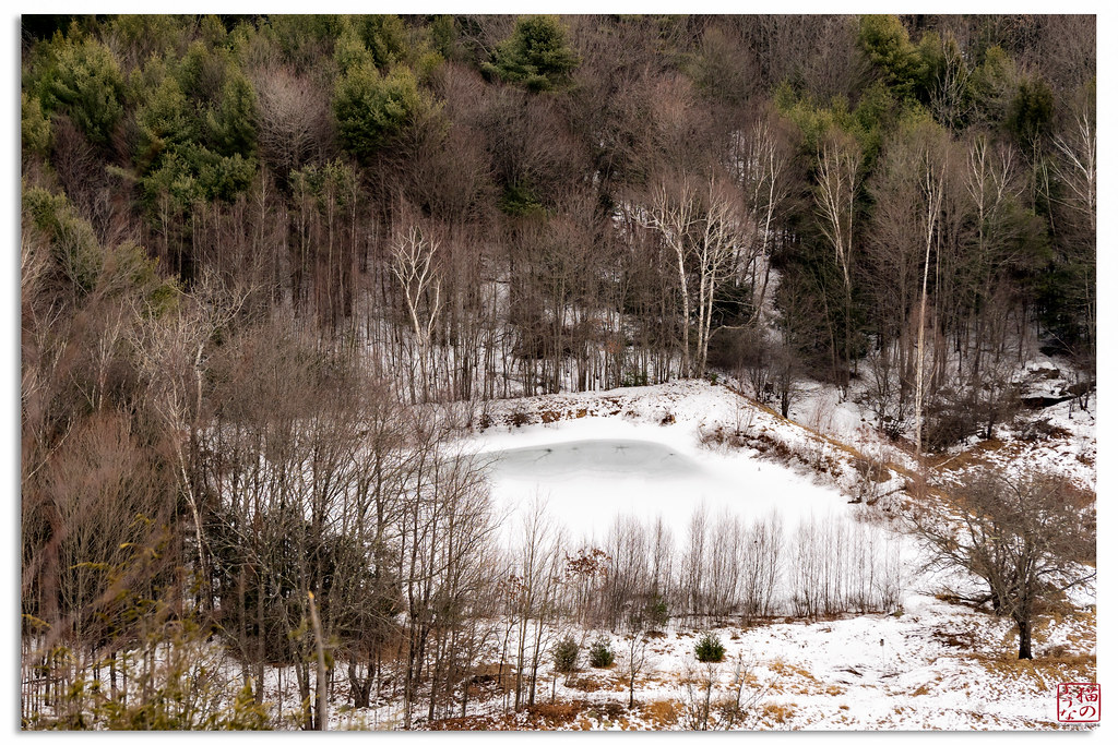
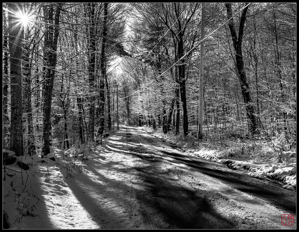
Despite the Snow
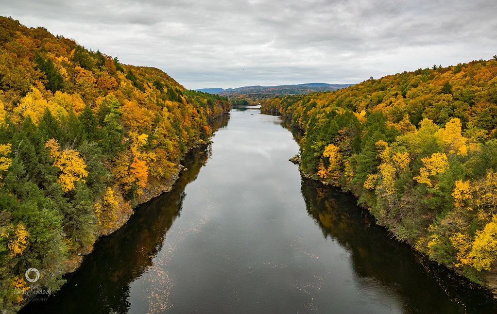
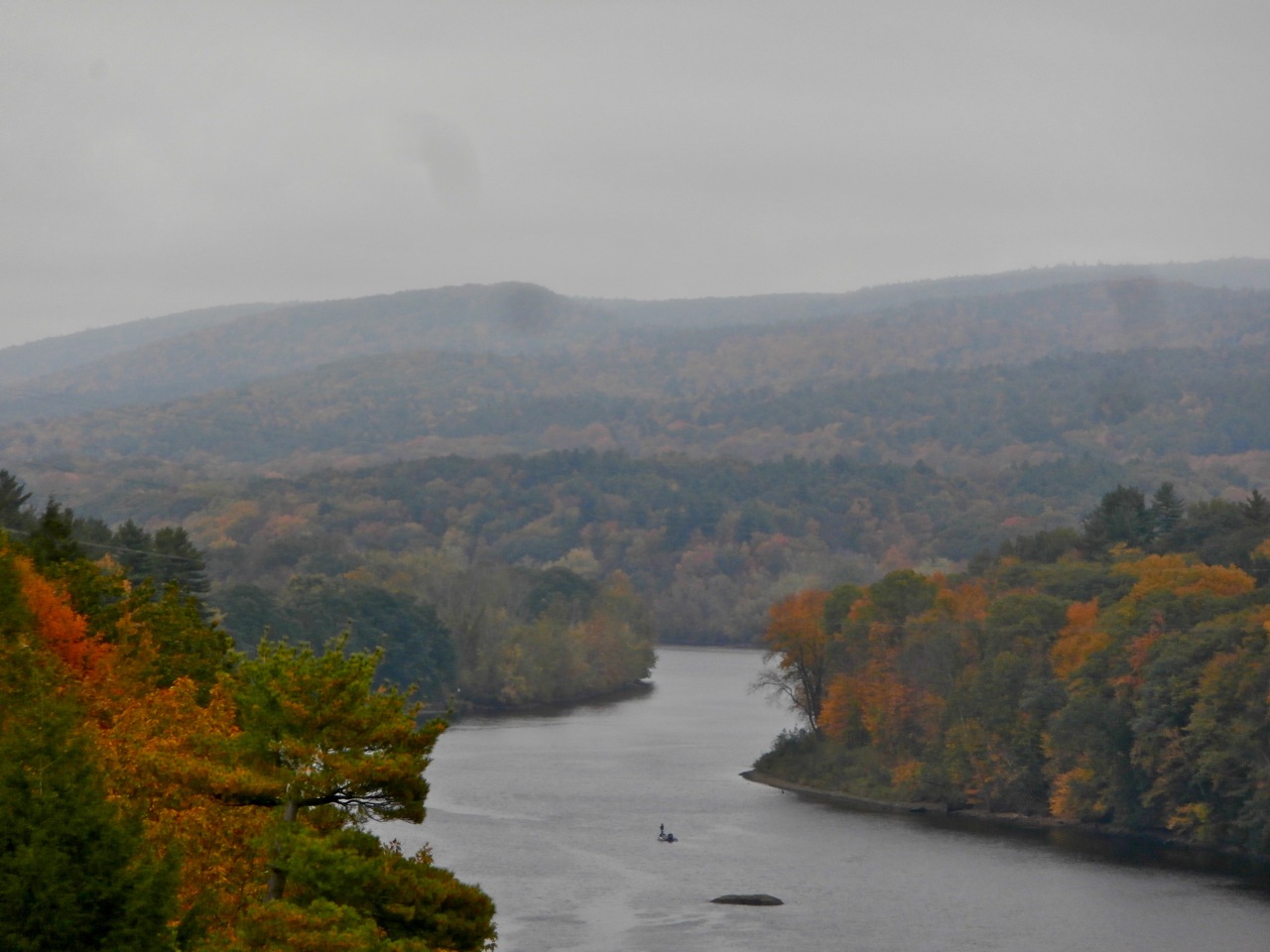
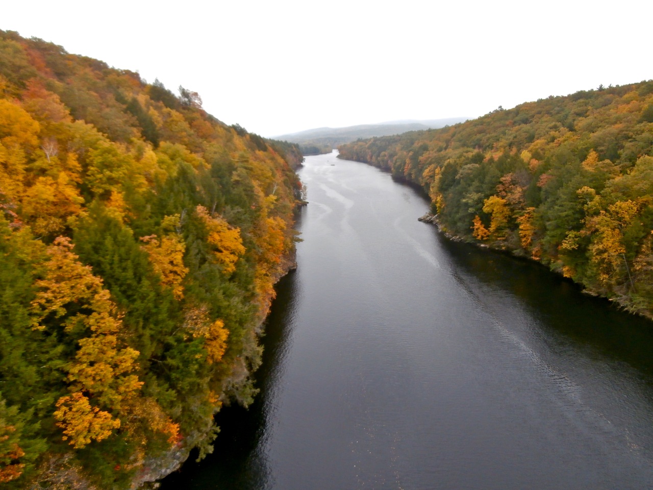
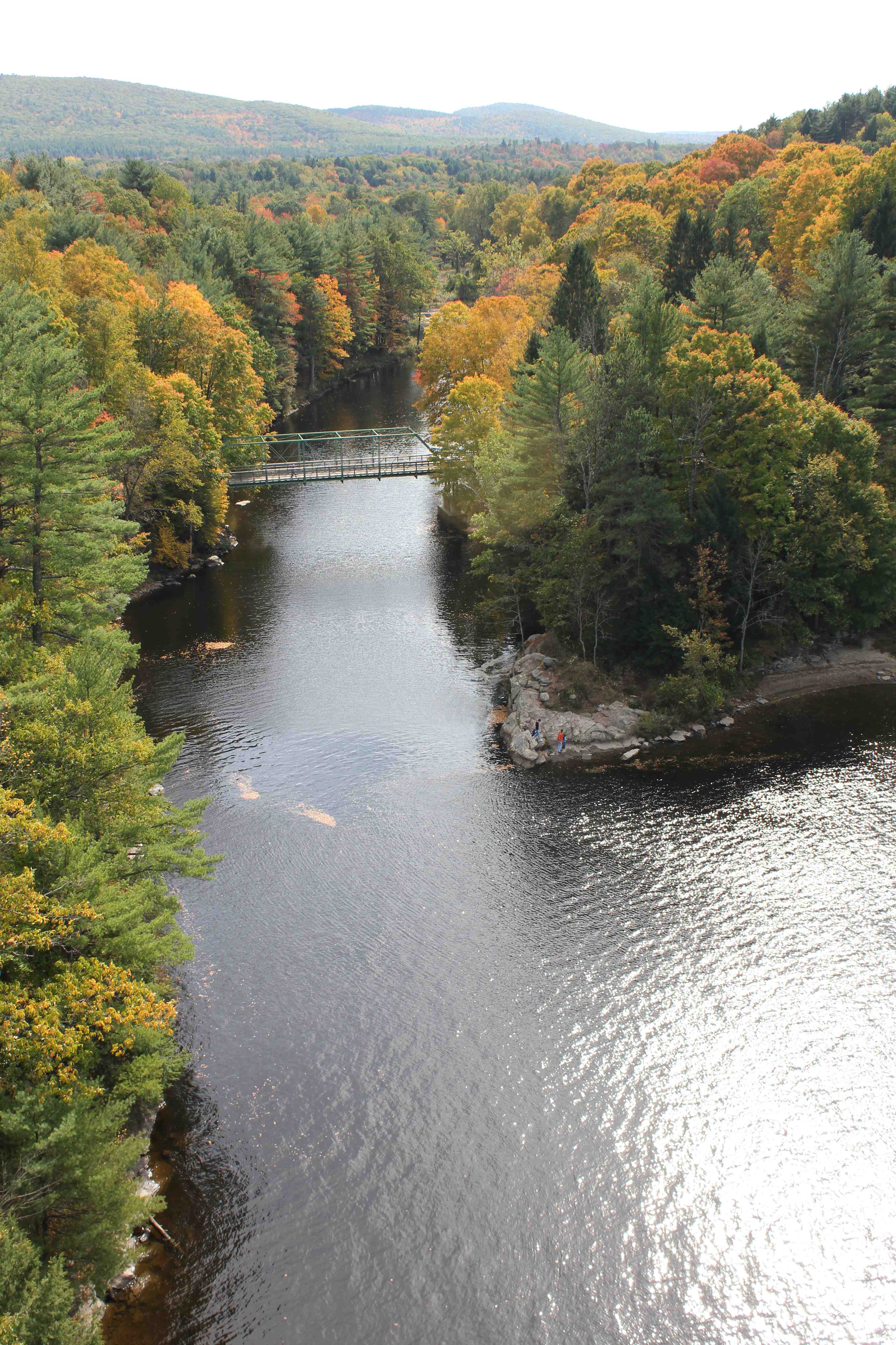
Autumn Foliage Scenery viewed from French King Bridge

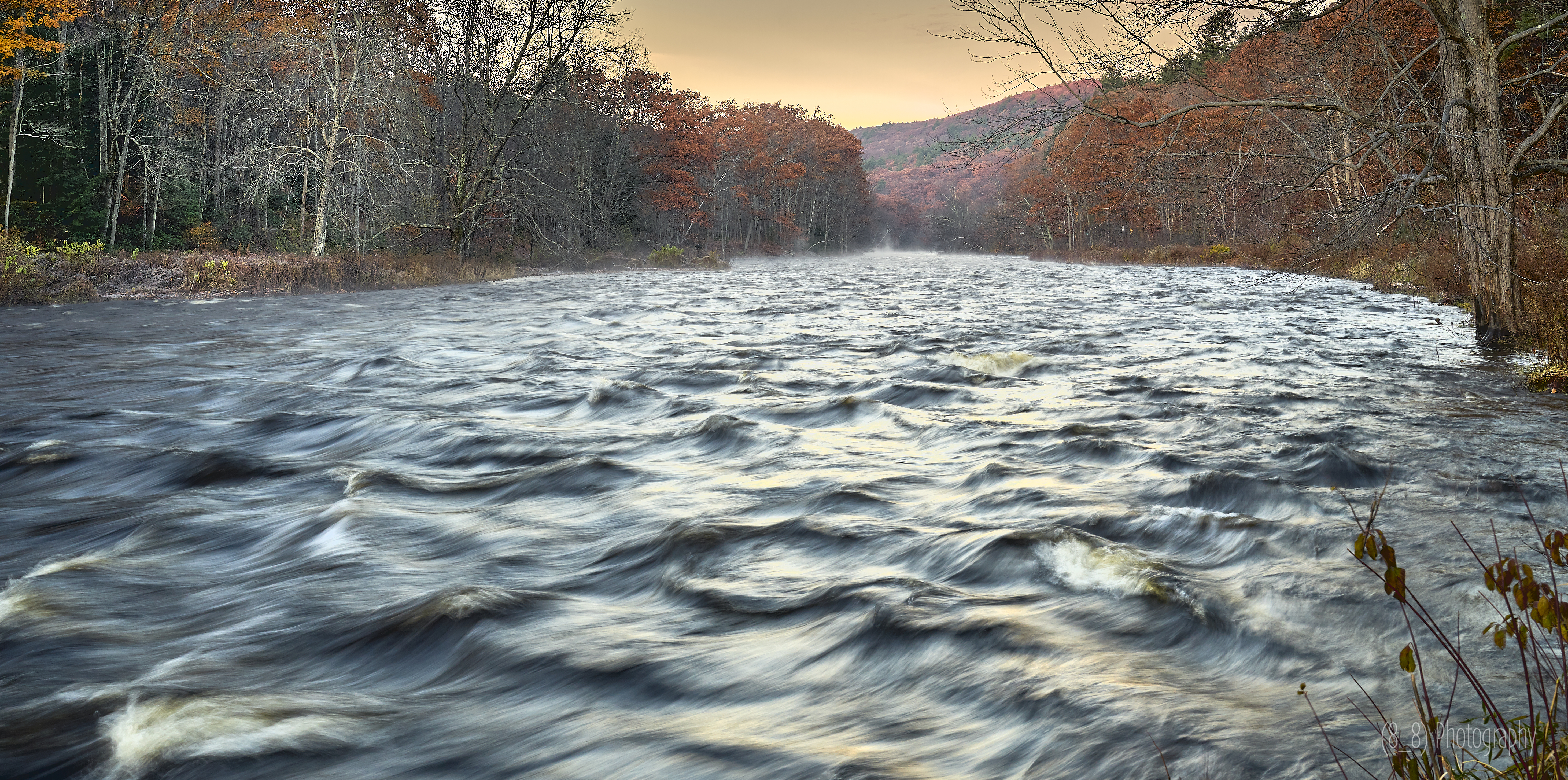
water music

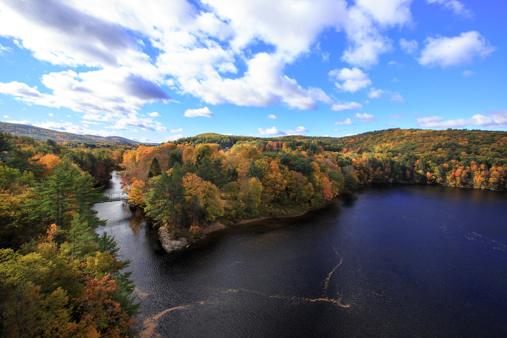
Panoramic Autumn Foliage Scenery viewed from French King Bridge
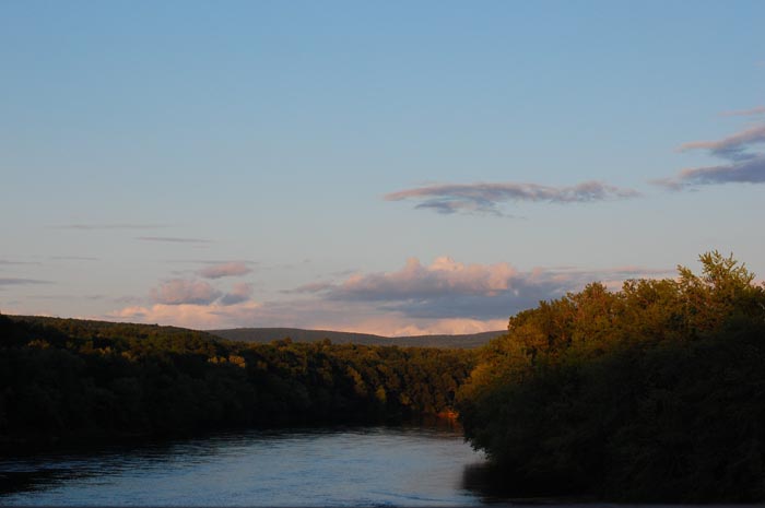
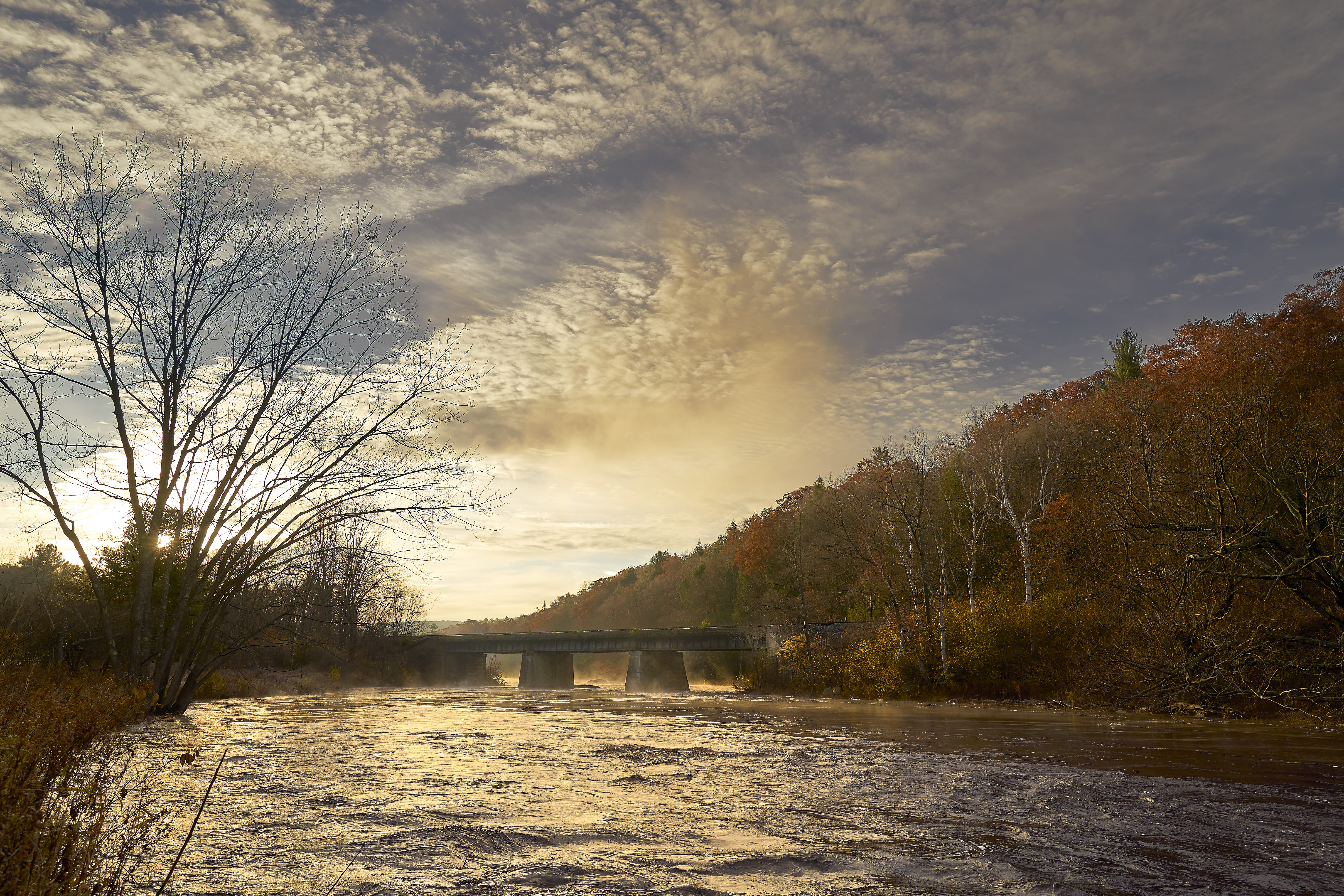
Connecticut River

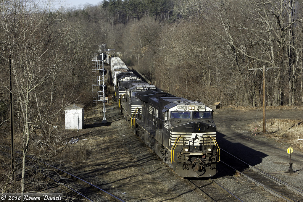
1979 09-28 1655 B&M GP38-2-203 switching at East Deerfield, MA
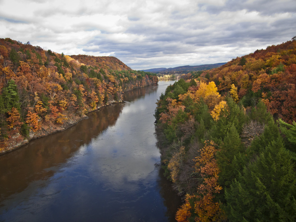
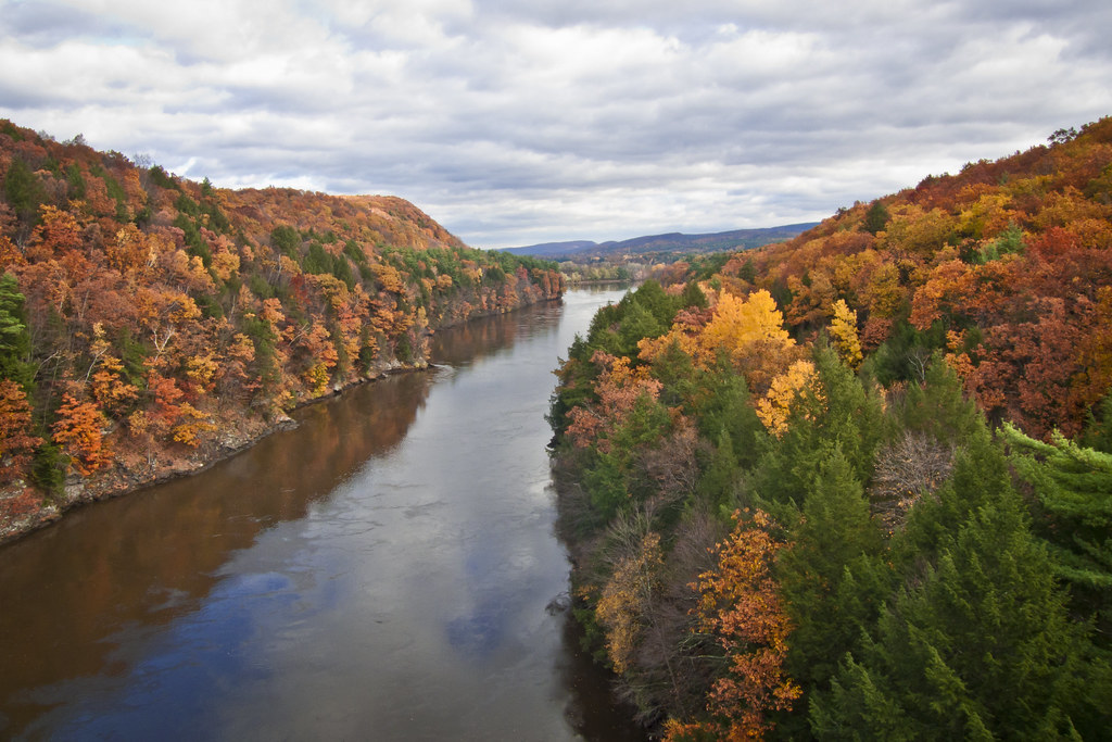
Autumn Foliage Scenery viewed from French King Bridge
Autumn Foliage Scenery viewed from French King Bridge
CT River View

Gill, view from the French King Bridge

French King Bridge, View
French King Bridge, View
French King Bridge, View
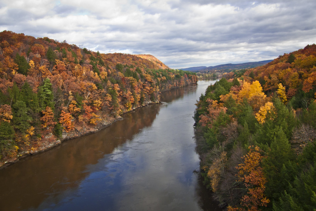
Autumn View from Fench King Bridge, MA
Pond View
view off bridge
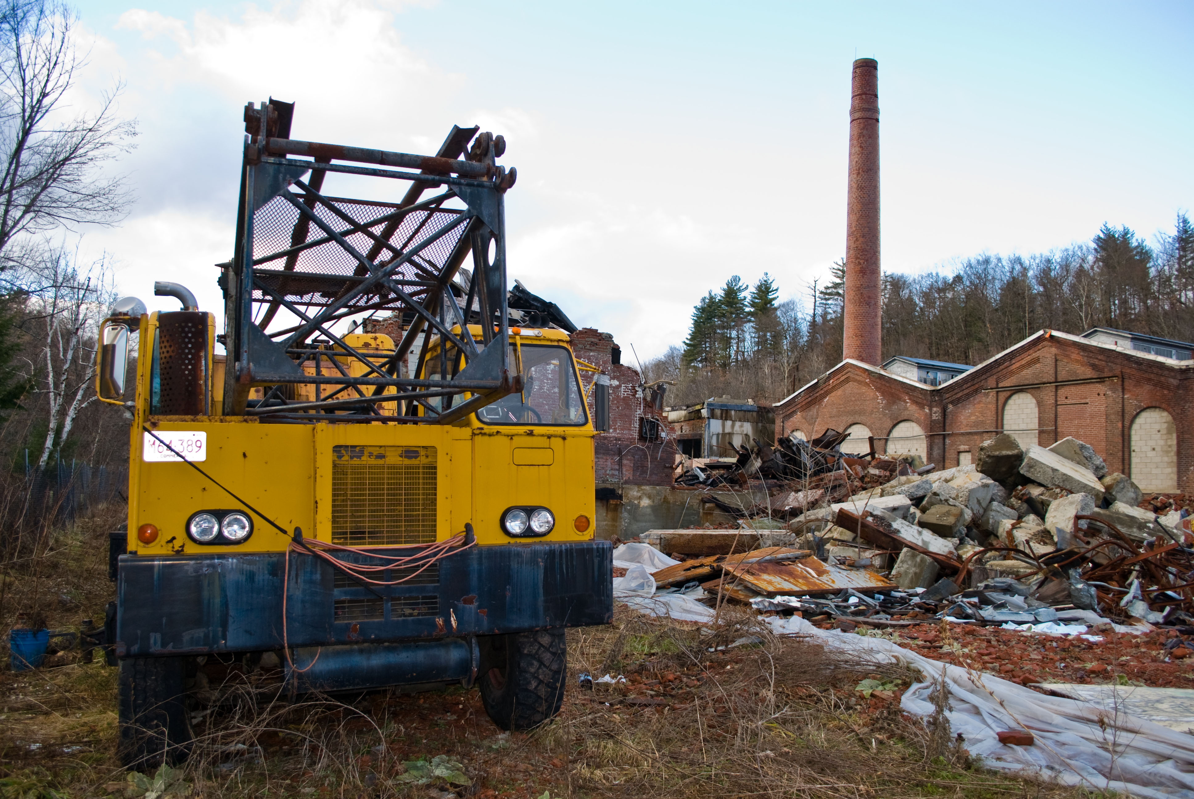
Usher Paper Mill
Last view of Cabot Station from the living room
View from French King Bridge

looking west

F 20121103_9517
Erving RR Bridge 0945

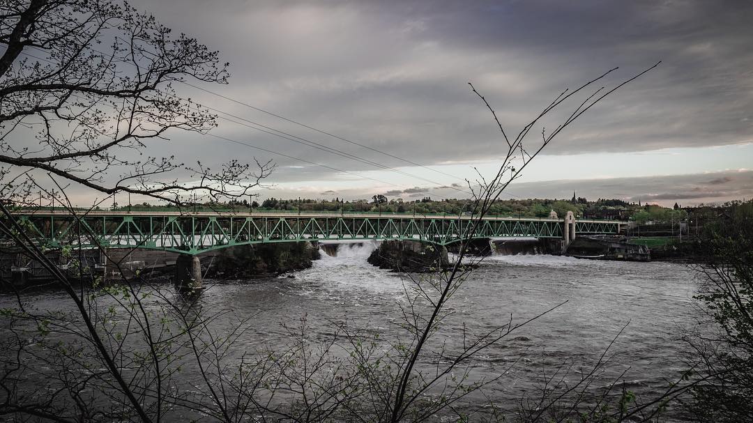
Railroad Bridge

Millers River
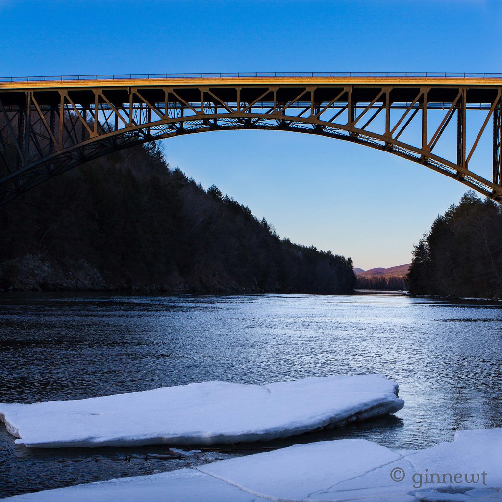
French King Bridge & an Ice Flow
#berkshires #newengland #nature-photography #nature #landscape #landscapephotography #landscape_captures #spring #landscape_lovers #beauty #fujifilm #fujifilm_xseries #massachusetts #spring #architecture #architecturephotography #architecturelovers #gree
Millers RIver West of Bridge 0801

Pleasants Tranquility Pink

Night Sky

Keeping it covered

Pleasants Tranquility Orange
16R at East Deerfield

Fall 2017
All That Glitters

Roaring Brook - Winchester NH
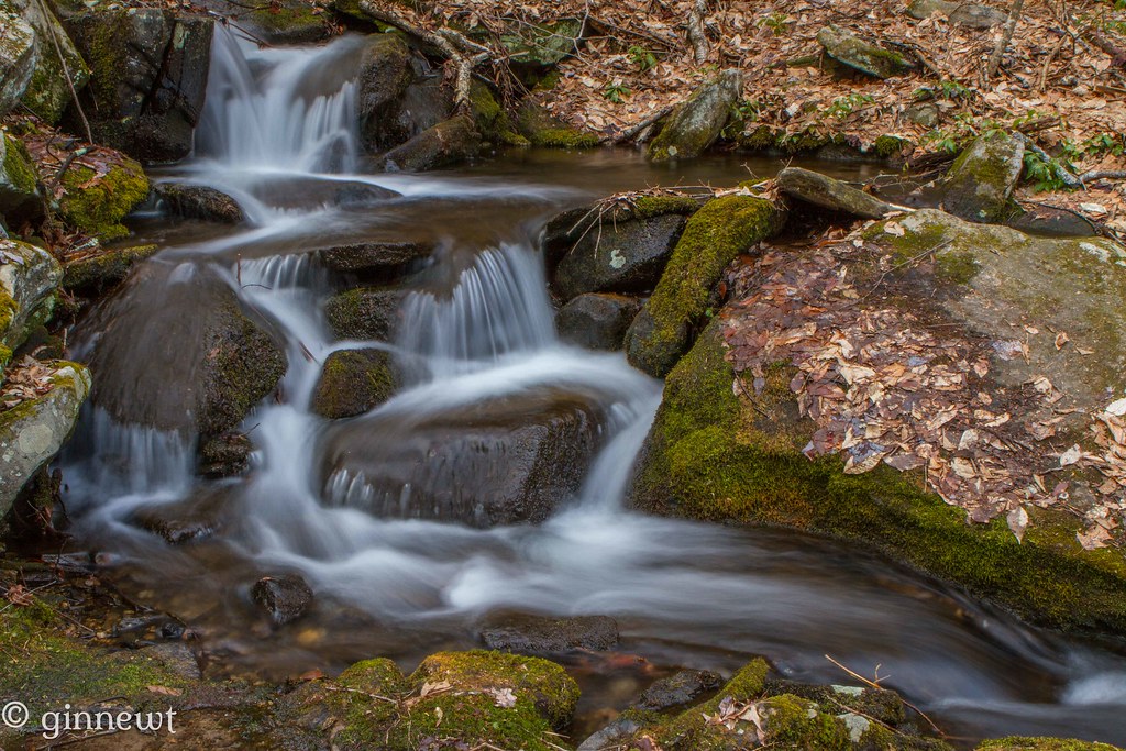
Briggs Brook Falls

Reflecting on Trees
Topographic Map of Old Wendell Rd, Northfield, MA, USA
Find elevation by address:

Places near Old Wendell Rd, Northfield, MA, USA:
69 Old Turnpike Rd, Northfield, MA, USA
535 Ma-63
534 Millers Falls Rd
534 Millers Falls Rd
70 Munns Ferry Rd, Gill, MA, USA
Northfield
10 Holton St
398 Main Rd
Gill
341 Farley Rd
280 Mountain Rd
138 S Prospect St
Millers Falls
West Gill Road
142 W Gill Rd
138 W Gill Rd
19 Chapin Rd
82 Industrial Blvd
Bernardston
Norman Circle
Recent Searches:
- Elevation of Kambingan Sa Pansol Atbp., Purok 7 Pansol, Candaba, Pampanga, Philippines
- Elevation of Pinewood Dr, New Bern, NC, USA
- Elevation of Mountain View, CA, USA
- Elevation of Foligno, Province of Perugia, Italy
- Elevation of Blauwestad, Netherlands
- Elevation of Bella Terra Blvd, Estero, FL, USA
- Elevation of Estates Loop, Priest River, ID, USA
- Elevation of Woodland Oak Pl, Thousand Oaks, CA, USA
- Elevation of Brownsdale Rd, Renfrew, PA, USA
- Elevation of Corcoran Ln, Suffolk, VA, USA