Elevation of Old Mill Rd, Richburg, SC, USA
Location: United States > South Carolina > Chester County > Richburg >
Longitude: -81.022691
Latitude: 34.6866244
Elevation: 183m / 600feet
Barometric Pressure: 99KPa
Elevation Map:
Satellite Map:
Related Photos:

Lancaster and Chester GP38's

another photo of my bass hound

Lancaster and Chester GP38's

Through my other eyes

side view of my bass hound
Chester County, South Carolina

Red Shed on a Snowy Day

Snowy day in South Carolina

Carolina Winter Sunset

Catawba River Dam

L&C 12 in Bascomville

That Dam Picture

L&C 14 in Richburg

morning walk thinking of lost friends #southcarolinastory

L&C 12 at the Chester Yard Limits

Old Stone Cemetery: Patton, Agness (1813)

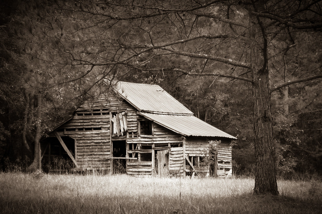
Forever in the Forest

dandelion flower

Bank of the Catawba River

ISCrow-2006-01-01@15-16-56
Topographic Map of Old Mill Rd, Richburg, SC, USA
Find elevation by address:

Places near Old Mill Rd, Richburg, SC, USA:
Richburg
E Lancaster St, Richburg, SC, USA
Lancaster And Chester Rlwy
State Rd 35, Chester, SC, USA
Chester County
Chester County
Chester County
Chester County
2952 Fishing Creek Church Rd
Great Falls Hwy, Chester, SC, USA
Tributary Drive
SC-, Blackstock, SC, USA
19661 Harbor Watch Ct
3190 Havenwood Dr
3190 Havenwood Dr
East Chappell Road
25572 Seagull Dr
E Chappell Rd, Rock Hill, SC, USA
Great Falls
38 Canal St, Great Falls, SC, USA
Recent Searches:
- Elevation of Congressional Dr, Stevensville, MD, USA
- Elevation of Bellview Rd, McLean, VA, USA
- Elevation of Stage Island Rd, Chatham, MA, USA
- Elevation of Shibuya Scramble Crossing, 21 Udagawacho, Shibuya City, Tokyo -, Japan
- Elevation of Jadagoniai, Kaunas District Municipality, Lithuania
- Elevation of Pagonija rock, Kranto 7-oji g. 8"N, Kaunas, Lithuania
- Elevation of Co Rd 87, Jamestown, CO, USA
- Elevation of Tenjo, Cundinamarca, Colombia
- Elevation of Côte-des-Neiges, Montreal, QC H4A 3J6, Canada
- Elevation of Bobcat Dr, Helena, MT, USA