Elevation of Seagull Dr, Lancaster, SC, USA
Location: United States > South Carolina > Lancaster County > Lancaster >
Longitude: -80.873425
Latitude: 34.631643
Elevation: 134m / 440feet
Barometric Pressure: 100KPa
Elevation Map:
Satellite Map:
Related Photos:
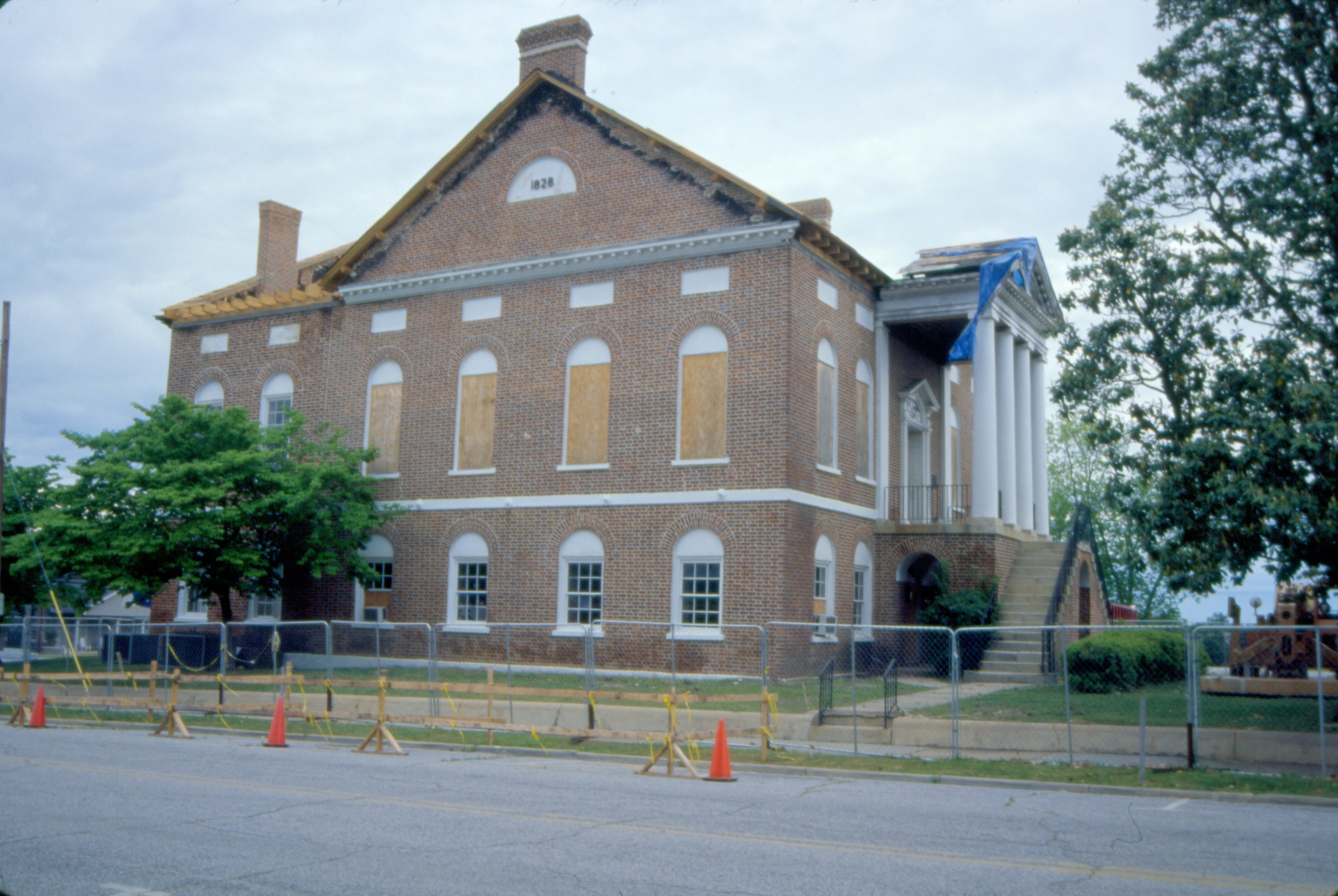
419 County Courthouse Img259_07
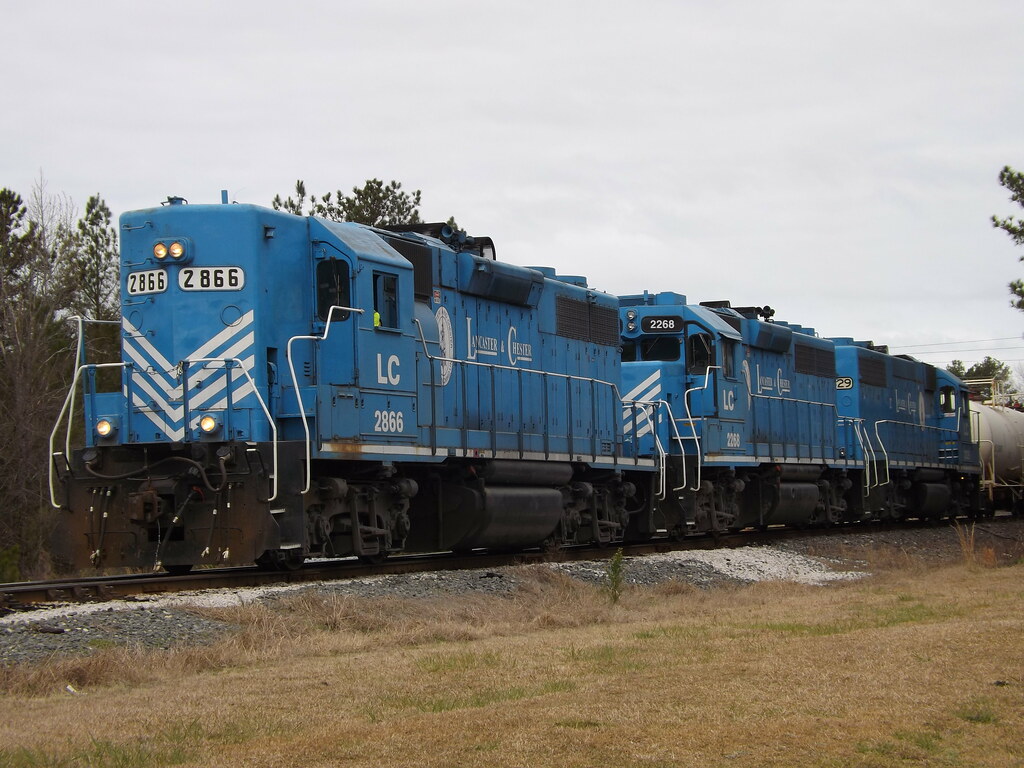
Lancaster and Chester GP38's

L&C 10 in Lancaster

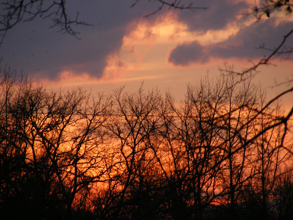
Carolina Winter Sunset
SOUTH CAROLINA PINK SKY 2

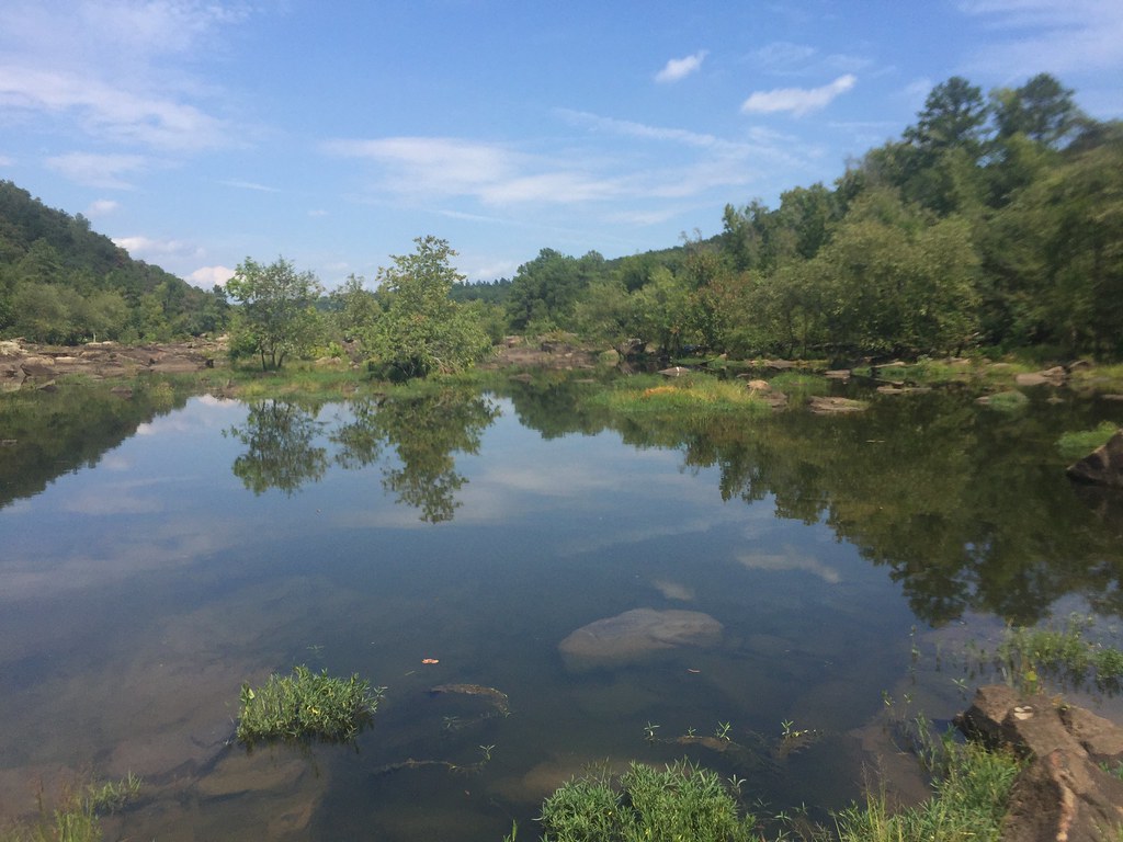
Catawba River

Lansford Canal Spider Lilies-102
00542-20164x5002
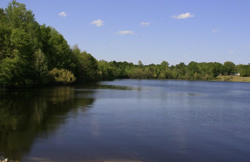
Lancaster Reservoir 01
SOUTH CAROLINA SUNSET
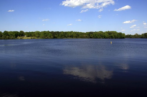
Lancaster Reservoir 04
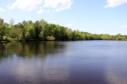
Lancaster Reservoir 03
sunset, skyline

Lansford Canal Spider Lilies-67
Rocky Creek-9
Rocky Creek-10

Rocky Creek-5
Christy kayaking
The mouth of one of the dry Catawba River channels.
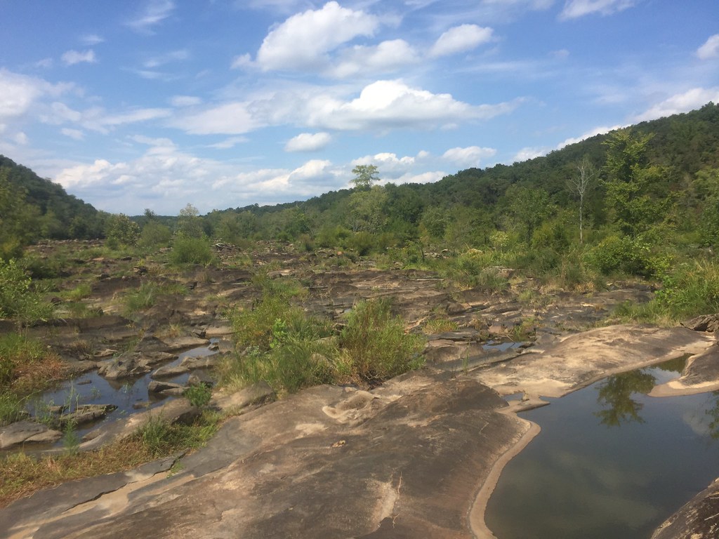
one of the dry Catawba River channels.

The mouth of one of the dry Catawba River channels.
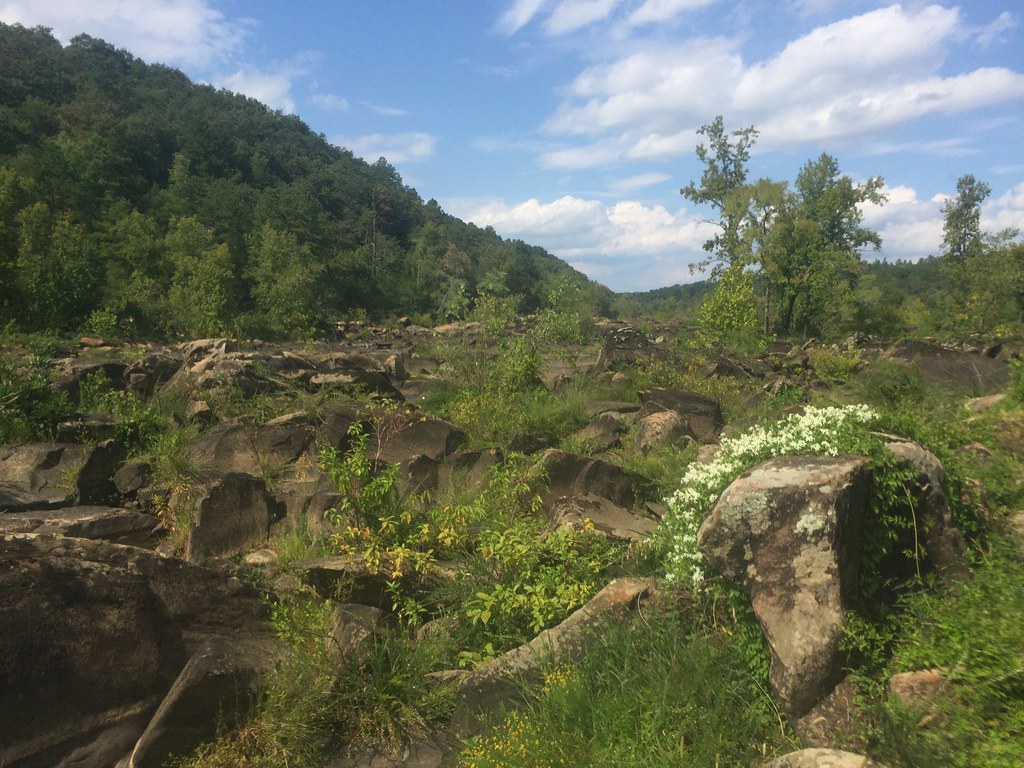
Cool flowers

Christy at our lunch spot
Topographic Map of Seagull Dr, Lancaster, SC, USA
Find elevation by address:

Places near Seagull Dr, Lancaster, SC, USA:
19661 Harbor Watch Ct
Bell Town
Tributary Drive
38 Canal St, Great Falls, SC, USA
Great Falls
State Rd S-29-, Lancaster, SC, USA
2475 Dhec Rd
3190 Havenwood Dr
3190 Havenwood Dr
Fairway Dr, Lancaster, SC, USA
Mt Carmel Rd, Heath Springs, SC, USA
15524 Us-21
1045 W Meadow Dr
6 Oak St
State Rd S-29-, Lancaster, SC, USA
164 S York St
Lancaster & Chester Railway
Lancaster
Barr Street School
573 Dalton Ridge Dr
Recent Searches:
- Elevation of Congressional Dr, Stevensville, MD, USA
- Elevation of Bellview Rd, McLean, VA, USA
- Elevation of Stage Island Rd, Chatham, MA, USA
- Elevation of Shibuya Scramble Crossing, 21 Udagawacho, Shibuya City, Tokyo -, Japan
- Elevation of Jadagoniai, Kaunas District Municipality, Lithuania
- Elevation of Pagonija rock, Kranto 7-oji g. 8"N, Kaunas, Lithuania
- Elevation of Co Rd 87, Jamestown, CO, USA
- Elevation of Tenjo, Cundinamarca, Colombia
- Elevation of Côte-des-Neiges, Montreal, QC H4A 3J6, Canada
- Elevation of Bobcat Dr, Helena, MT, USA