Elevation of 38 Canal St, Great Falls, SC, USA
Location: United States > South Carolina >
Longitude: -80.888492
Latitude: 34.5774477
Elevation: 131m / 430feet
Barometric Pressure: 100KPa
Elevation Map:
Satellite Map:
Related Photos:

Catawba River

Bank of the Catawba River
Catawba River Dam
Rocky Creek-11
Rocky Creek-9

Rocky Creek-5
Rocky Creek-10

Carex reznicekii (Reznicek's sedge)
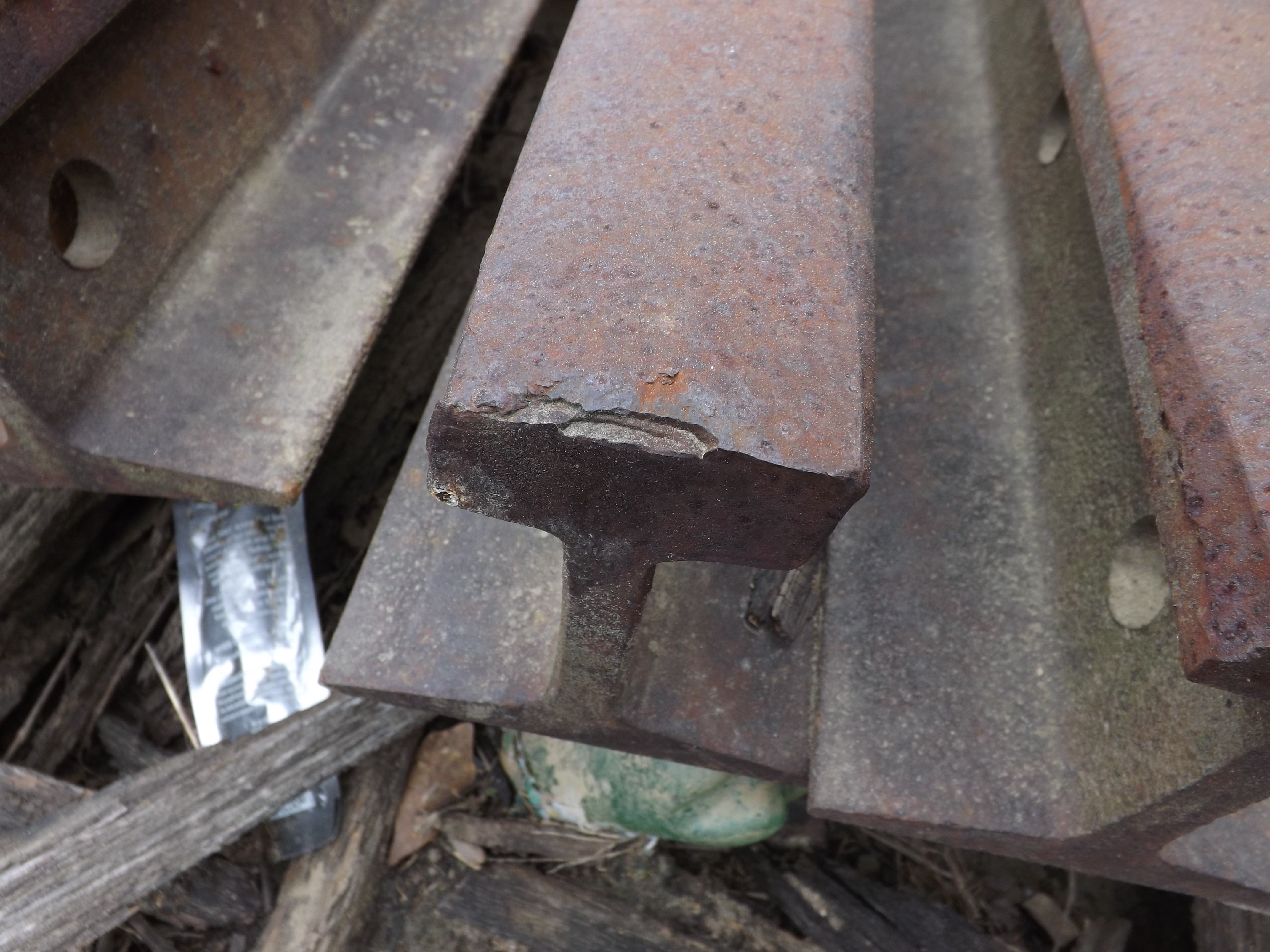
Rusted, Chipped Rail
Lancaster and Chester #14 by Circle S
Lancaster and Chester Train #14
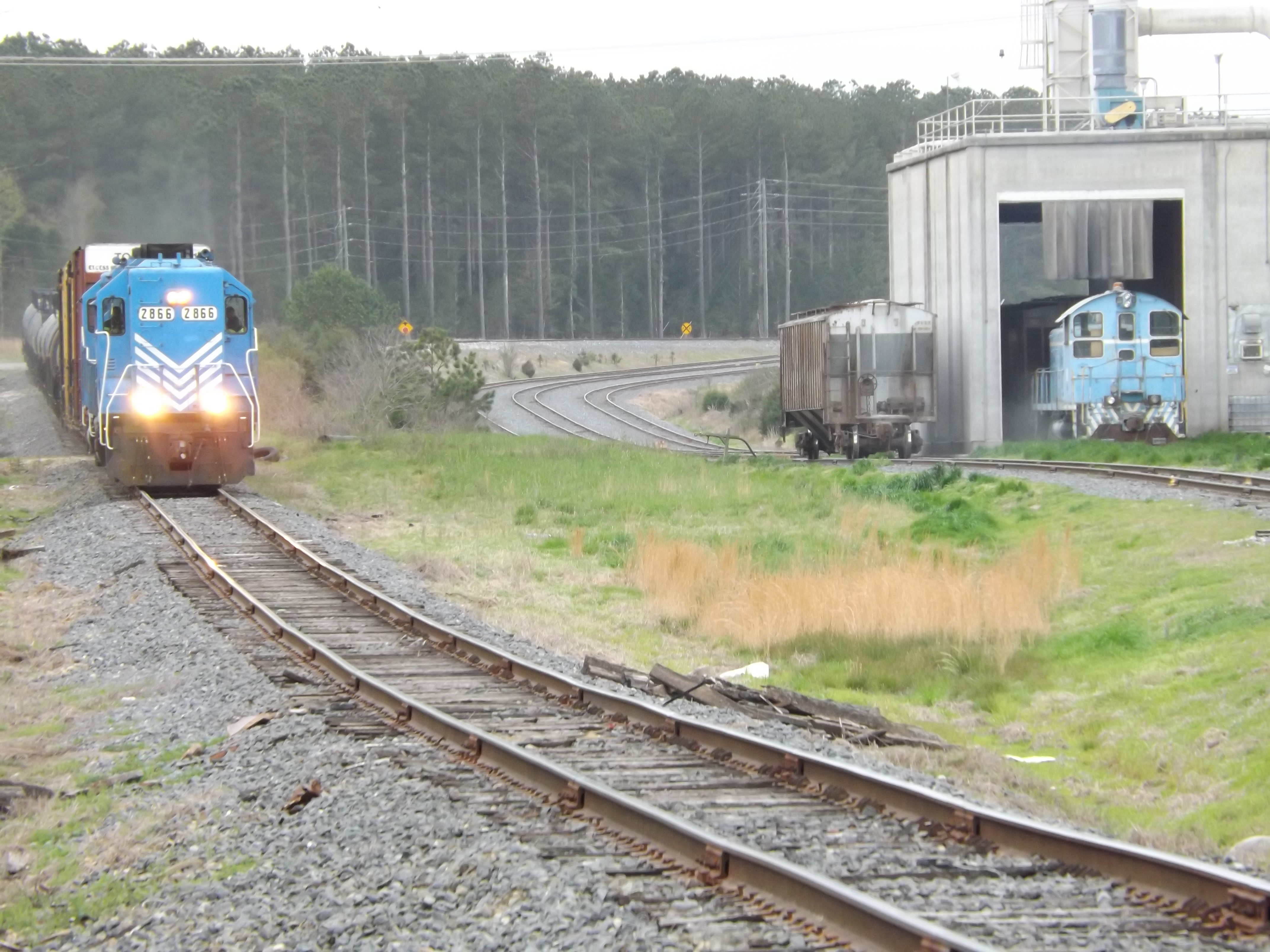
L&C 16 passing new construction

L&C pre-assembled trackage
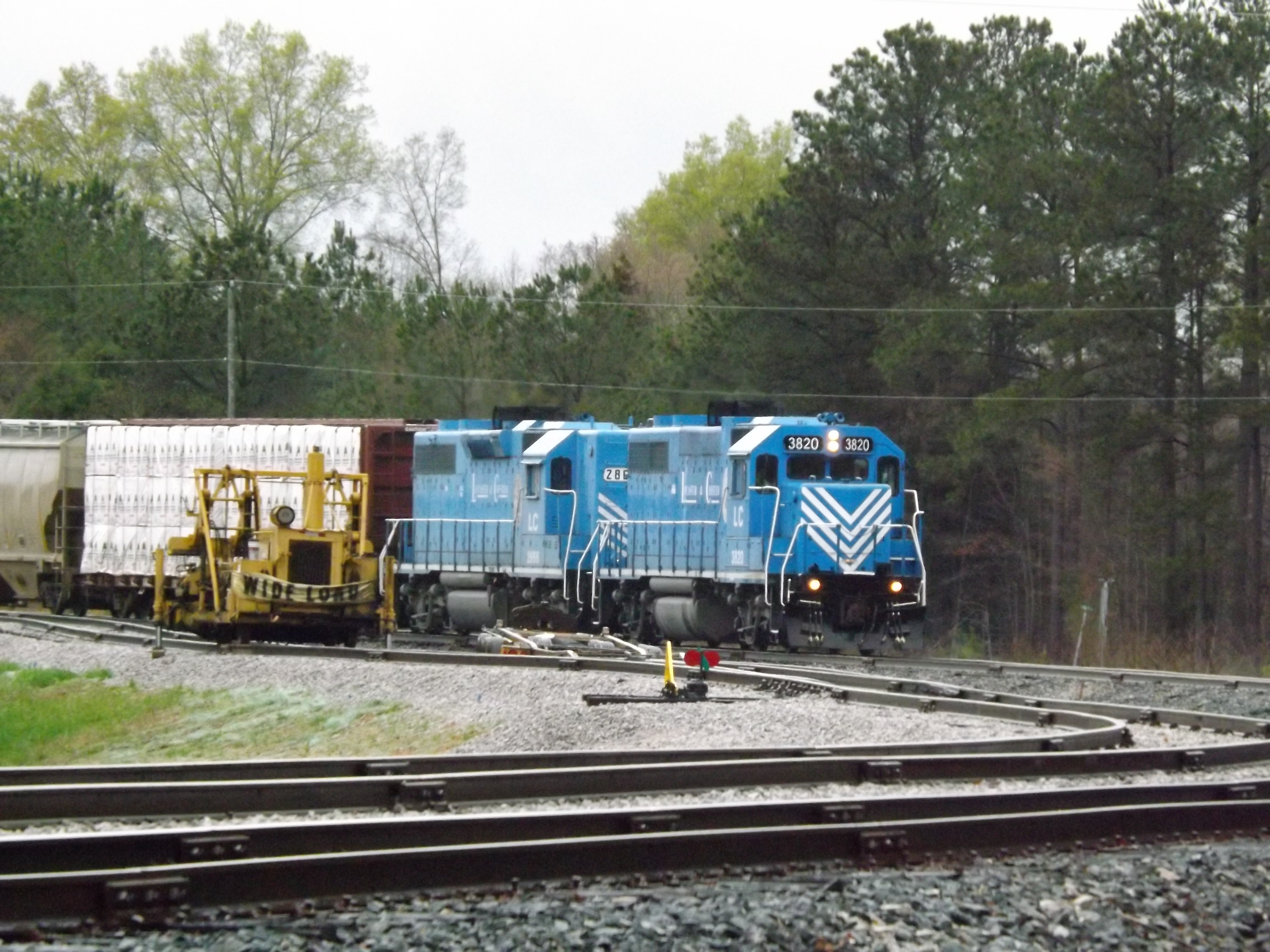
L&C Train 14...

L&C Train 14

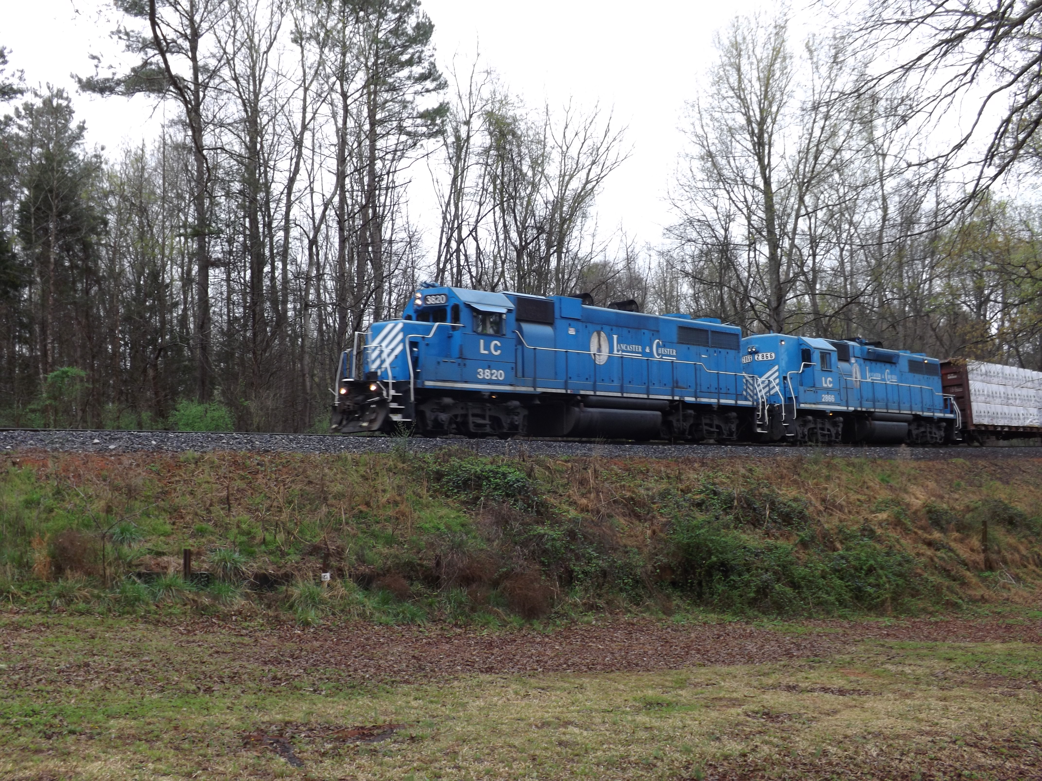
L&C 3820, 2866 and 91
Rocky Creek-1
Rocky Creek-2
Rocky Creek-4

Rocky Creek-6

Rocky Creek-7
Rocky Creek-8
Topographic Map of 38 Canal St, Great Falls, SC, USA
Find elevation by address:

Places near 38 Canal St, Great Falls, SC, USA:
Great Falls
3190 Havenwood Dr
3190 Havenwood Dr
19661 Harbor Watch Ct
15524 Us-21
550 Timberlane Cir
SC-, Blackstock, SC, USA
Blackstock
Blackstock
Blackstock
Blackstock
Blackstock
Cornwell
265 Crow Ln
265 Crow Ln
265 Crow Ln
265 Crow Ln
265 Crow Ln
265 Crow Ln
265 Crow Ln
Recent Searches:
- Elevation of Corso Fratelli Cairoli, 35, Macerata MC, Italy
- Elevation of Tallevast Rd, Sarasota, FL, USA
- Elevation of 4th St E, Sonoma, CA, USA
- Elevation of Black Hollow Rd, Pennsdale, PA, USA
- Elevation of Oakland Ave, Williamsport, PA, USA
- Elevation of Pedrógão Grande, Portugal
- Elevation of Klee Dr, Martinsburg, WV, USA
- Elevation of Via Roma, Pieranica CR, Italy
- Elevation of Tavkvetili Mountain, Georgia
- Elevation of Hartfords Bluff Cir, Mt Pleasant, SC, USA