Elevation of Old Hwy 49 E, Hattiesburg, MS, USA
Location: United States > Mississippi > Forrest County > Hattiesburg >
Longitude: -89.186946
Latitude: 31.0698218
Elevation: 65m / 213feet
Barometric Pressure: 101KPa
Elevation Map:
Satellite Map:
Related Photos:

Foggy morning at Camp Shelby
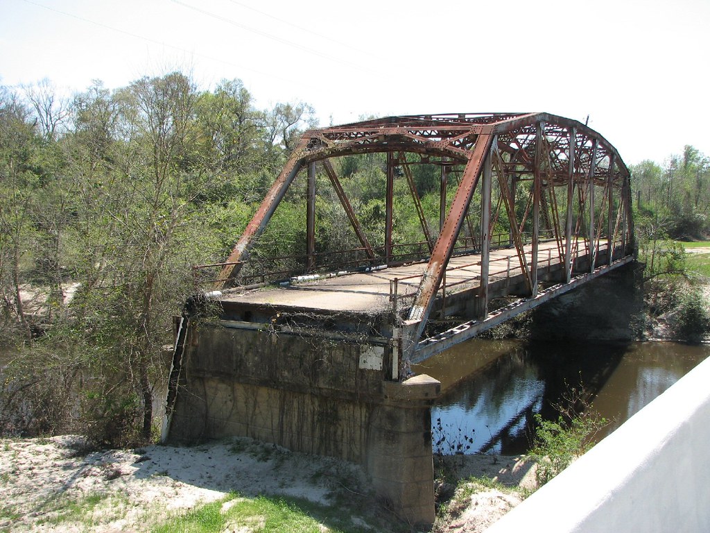
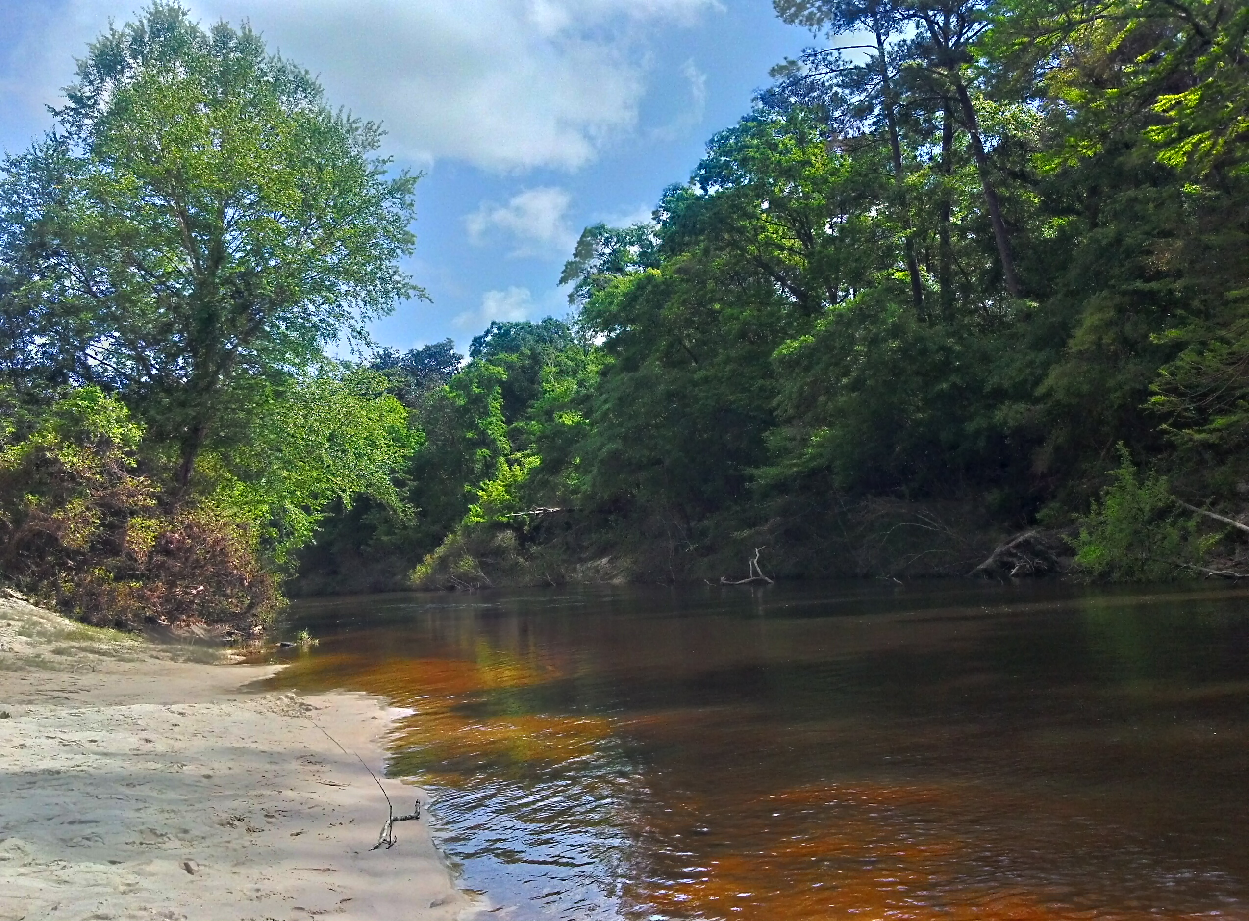
Black Creek-View From New Bridge
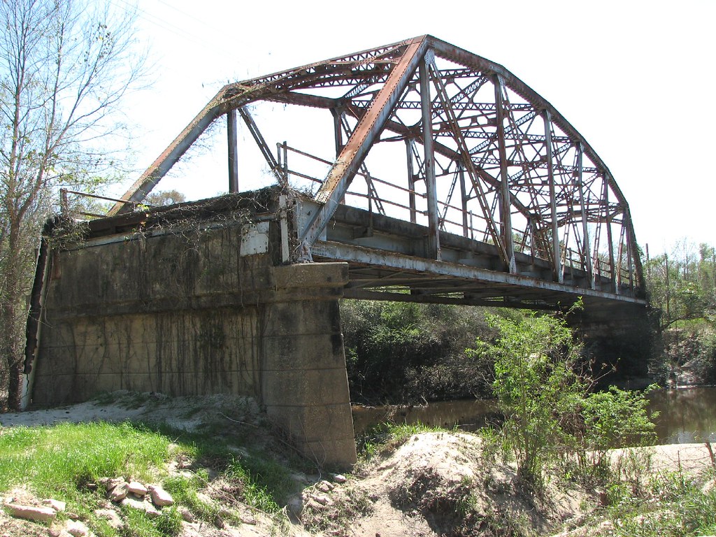
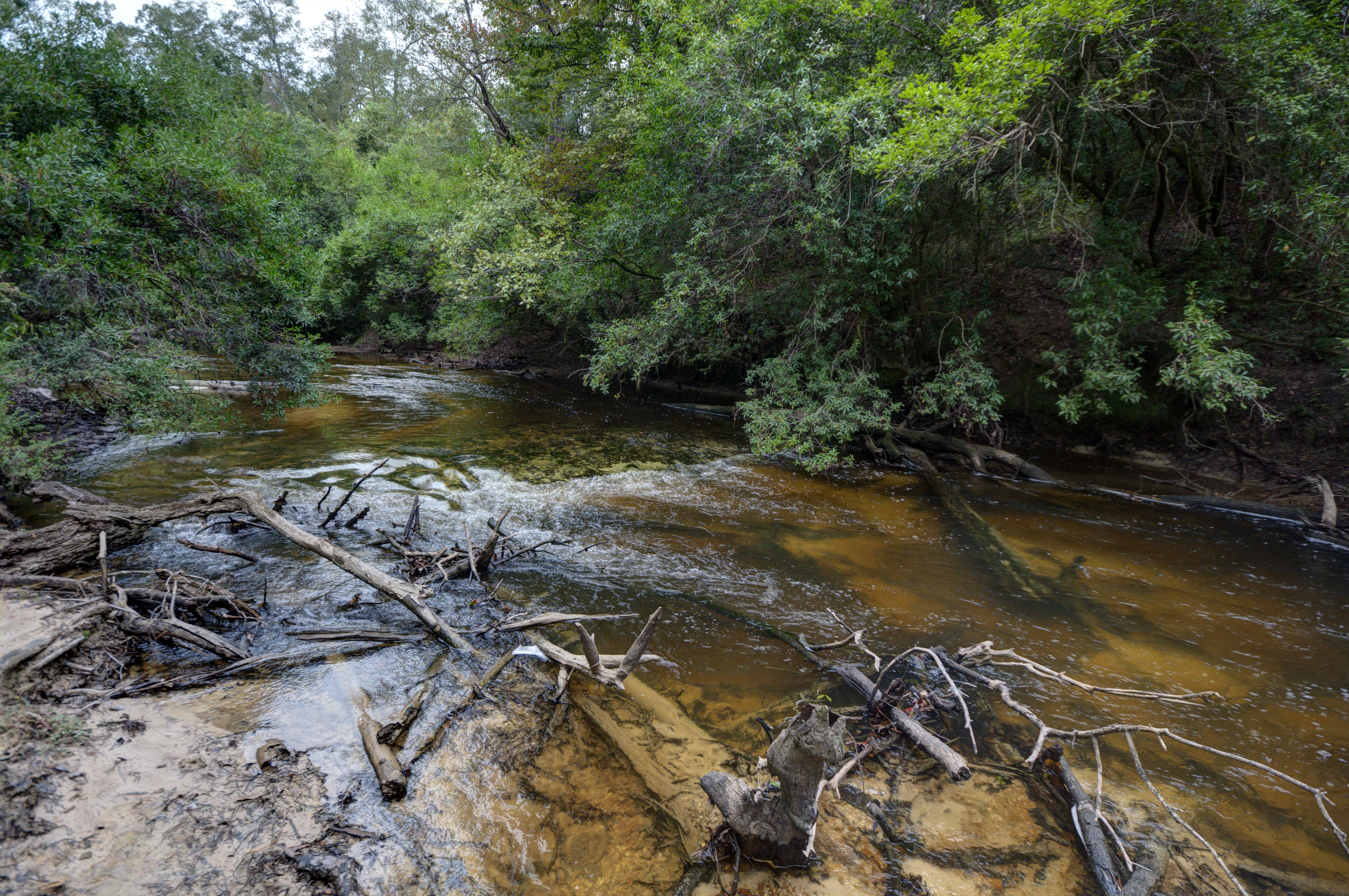
Black Creek-View From Below

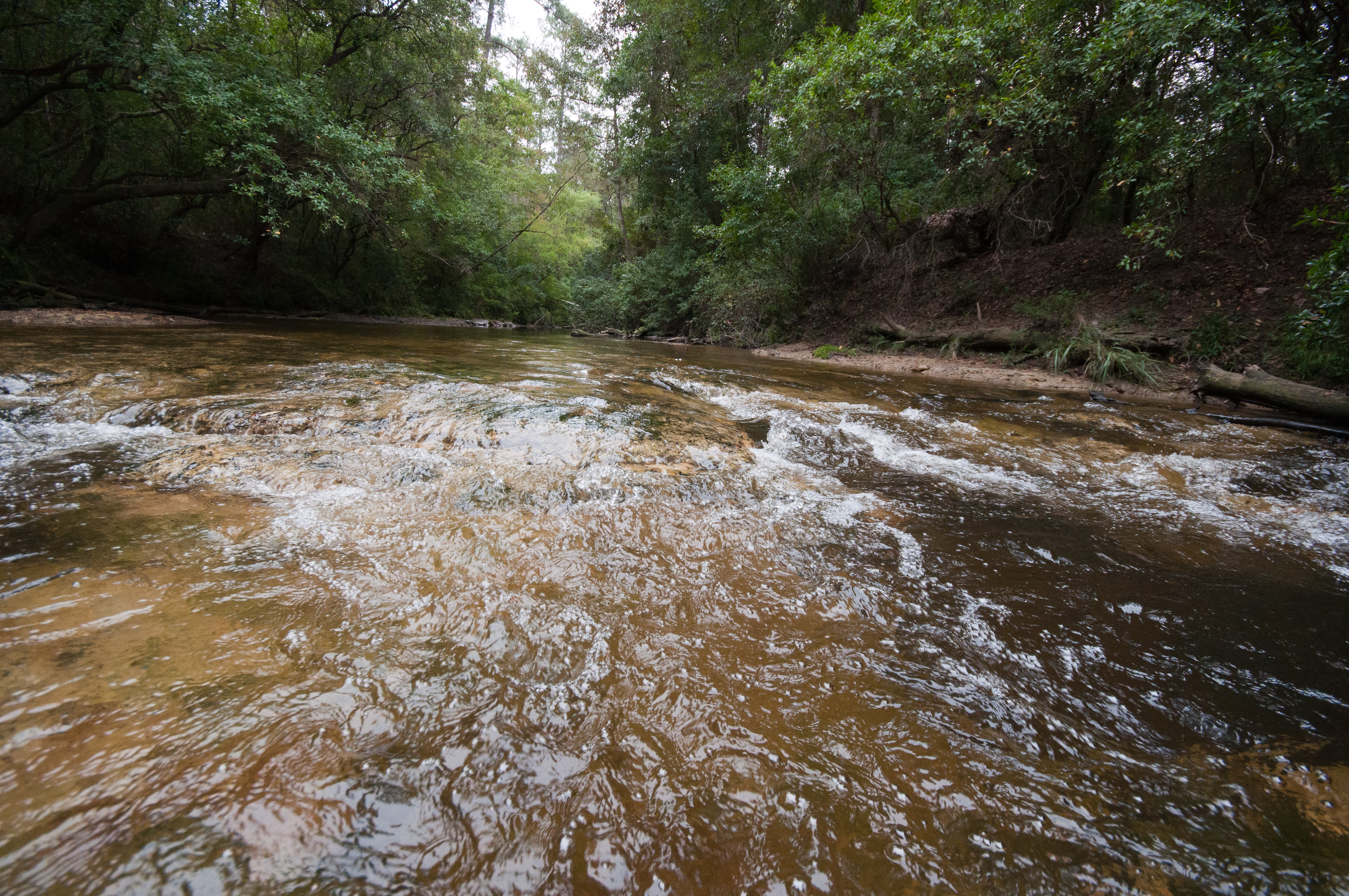
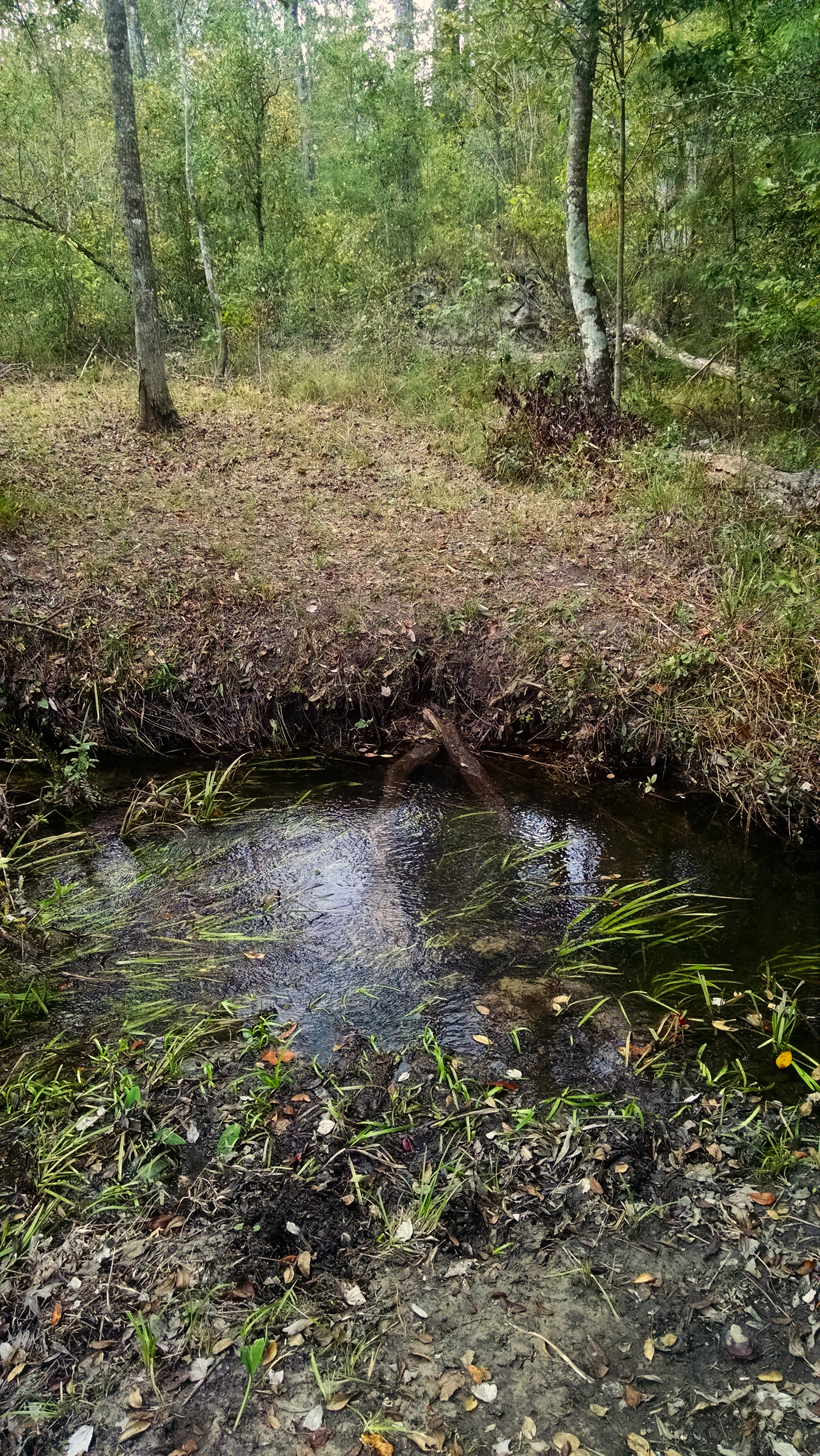
Black Creek-Side View

Paul B.
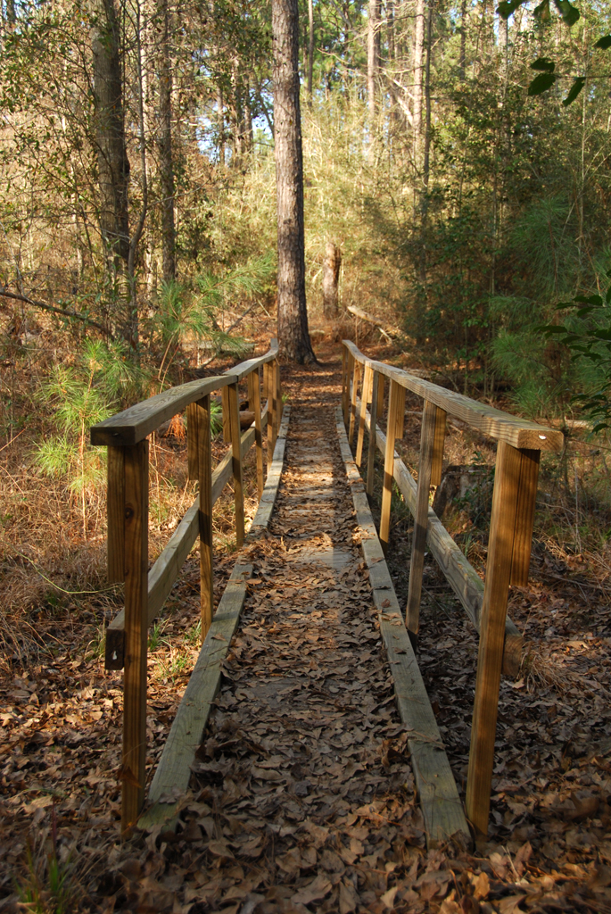
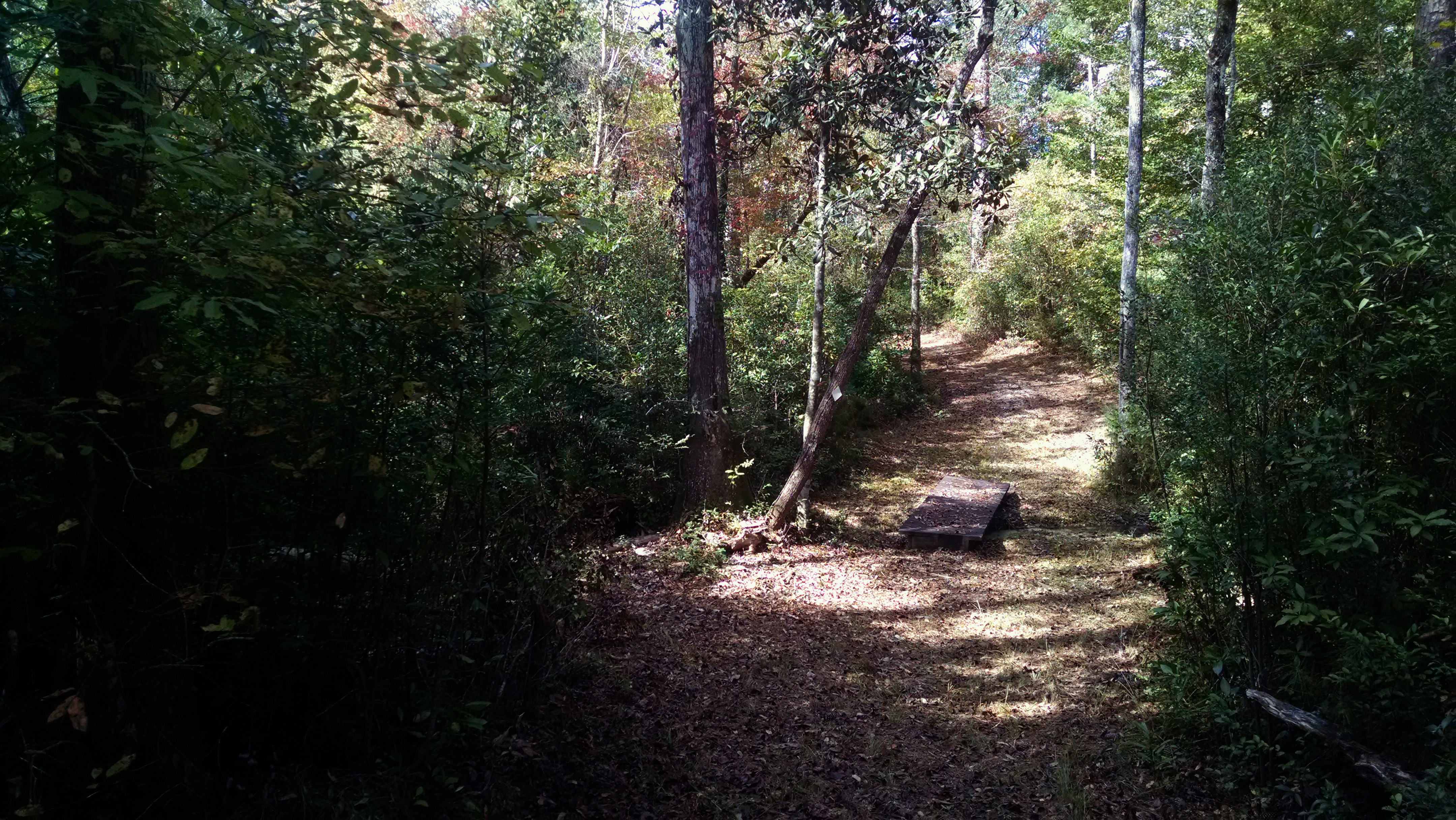
Nature Trail

Paul B.

Paul B.
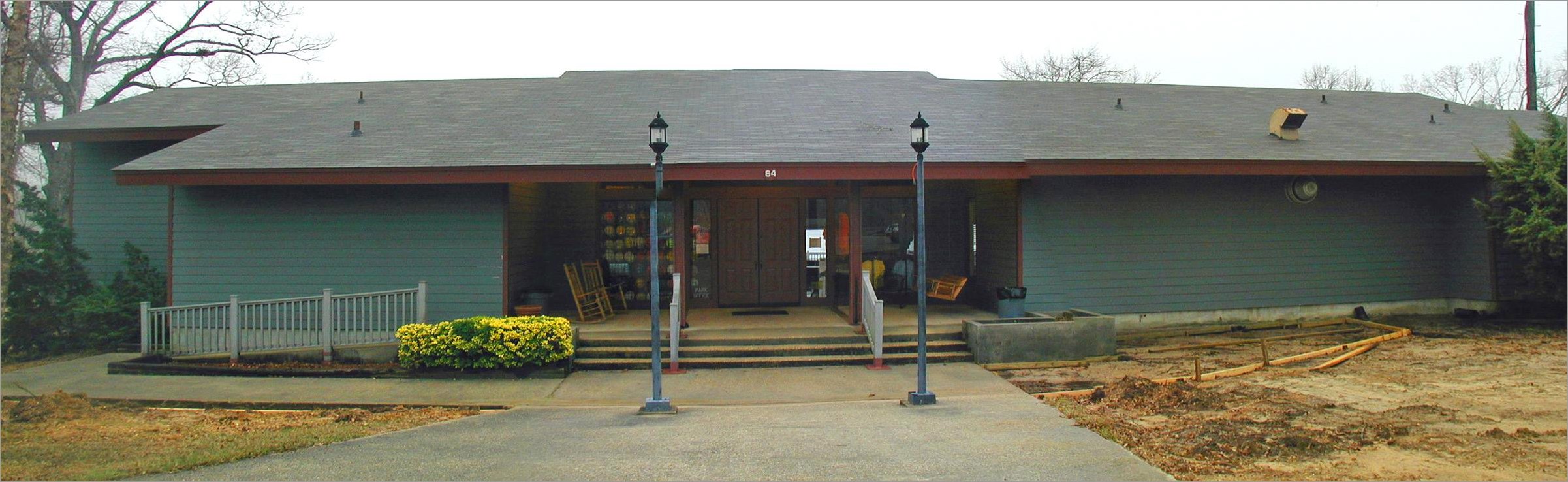
PBJ park office in the midst of landscaping improvements
Manhatten Mississippi

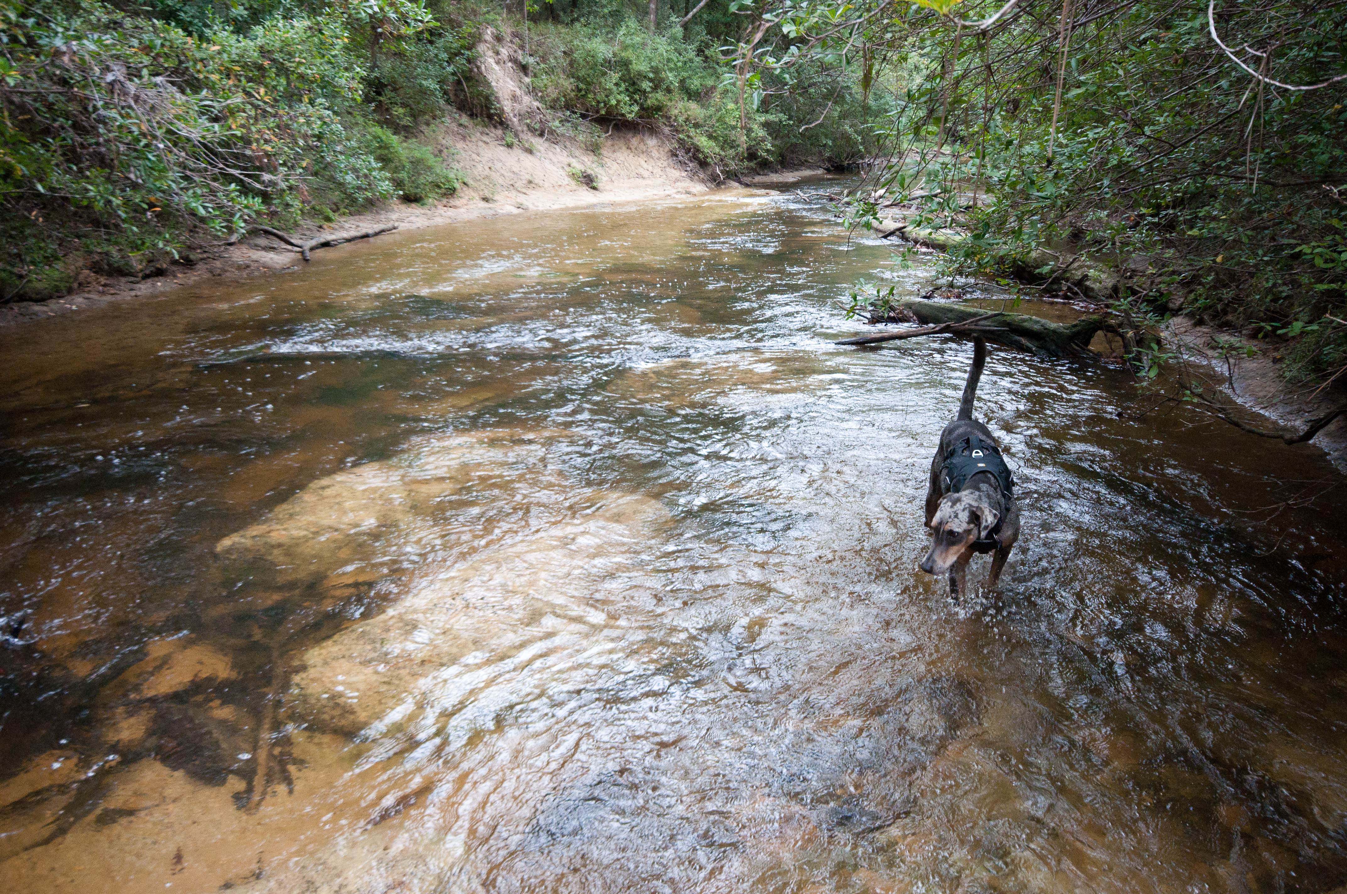
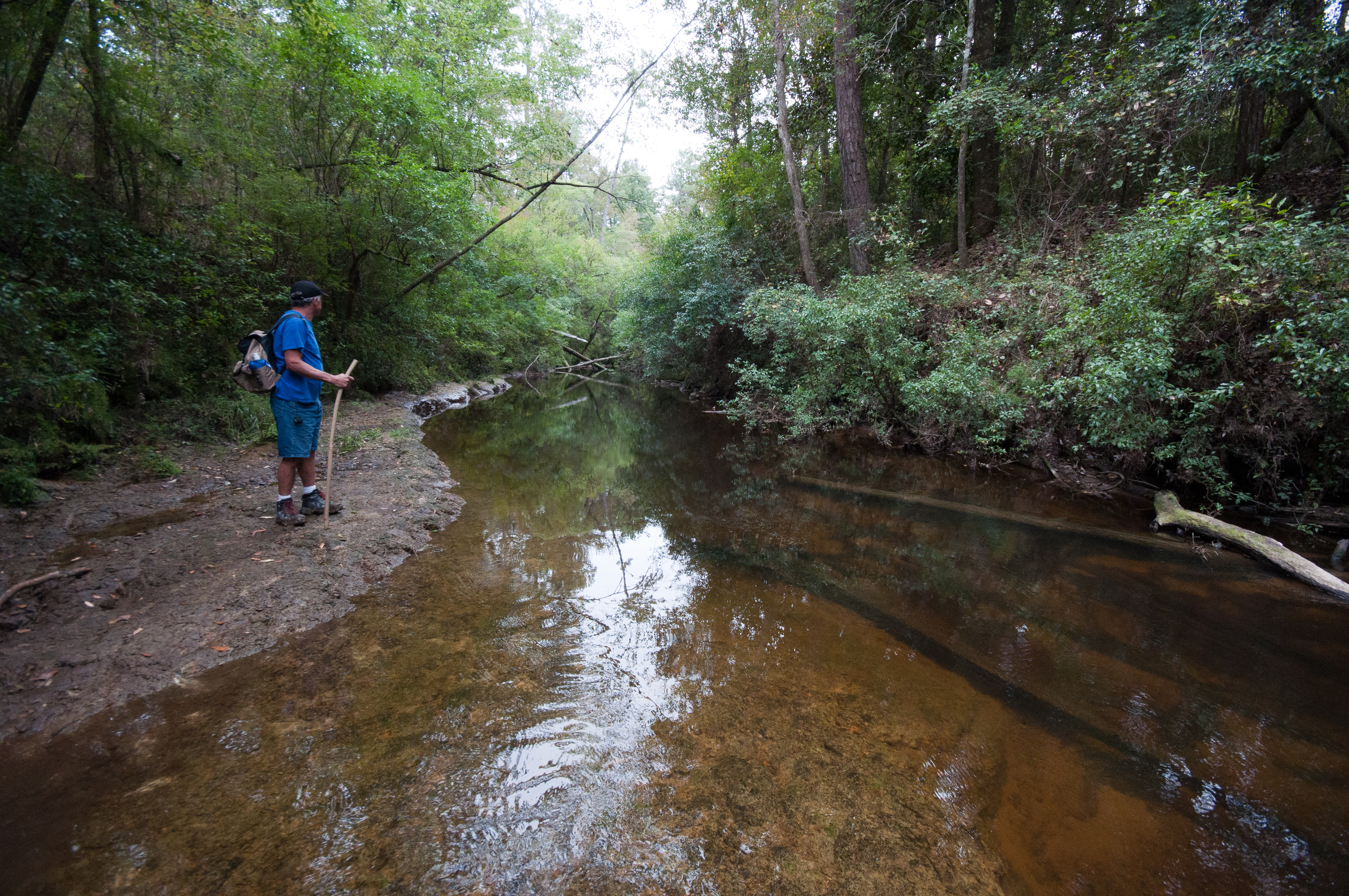
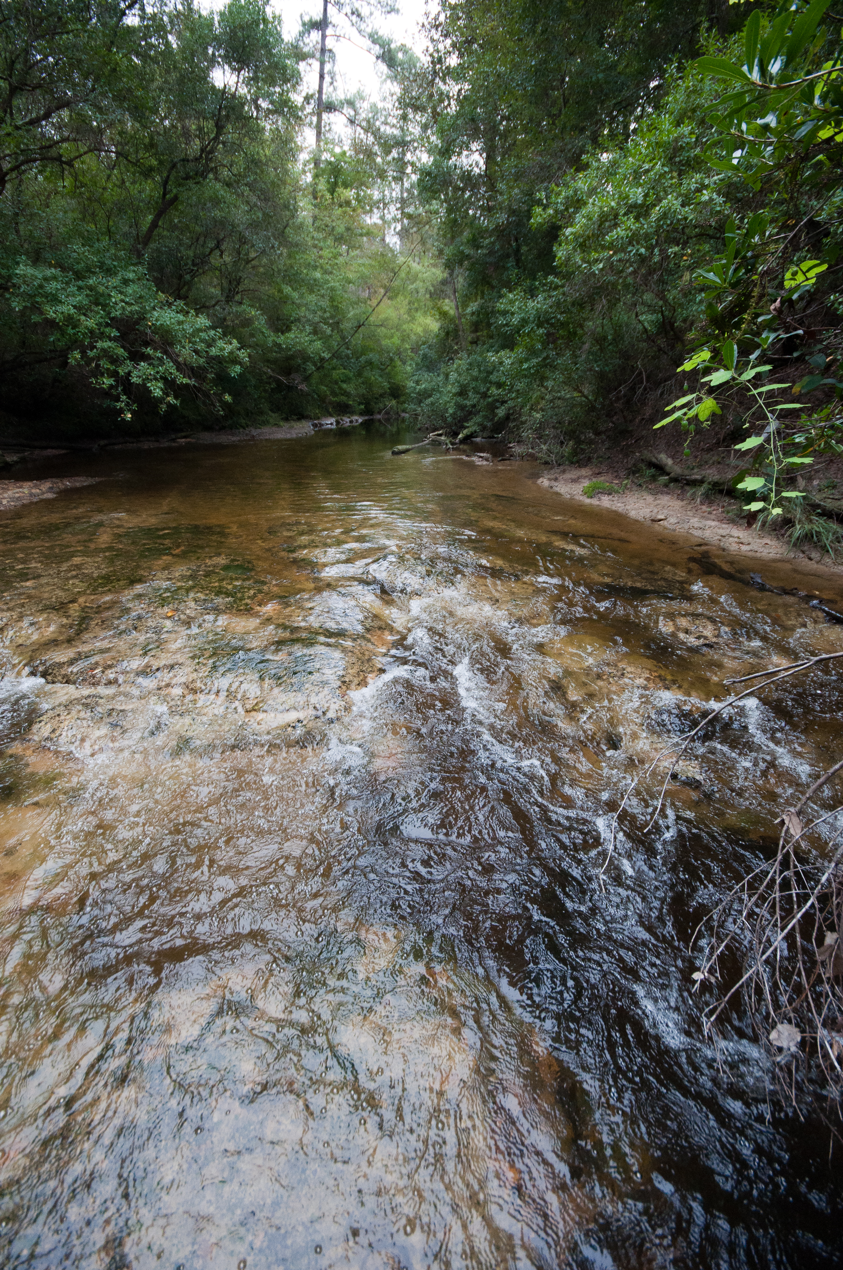
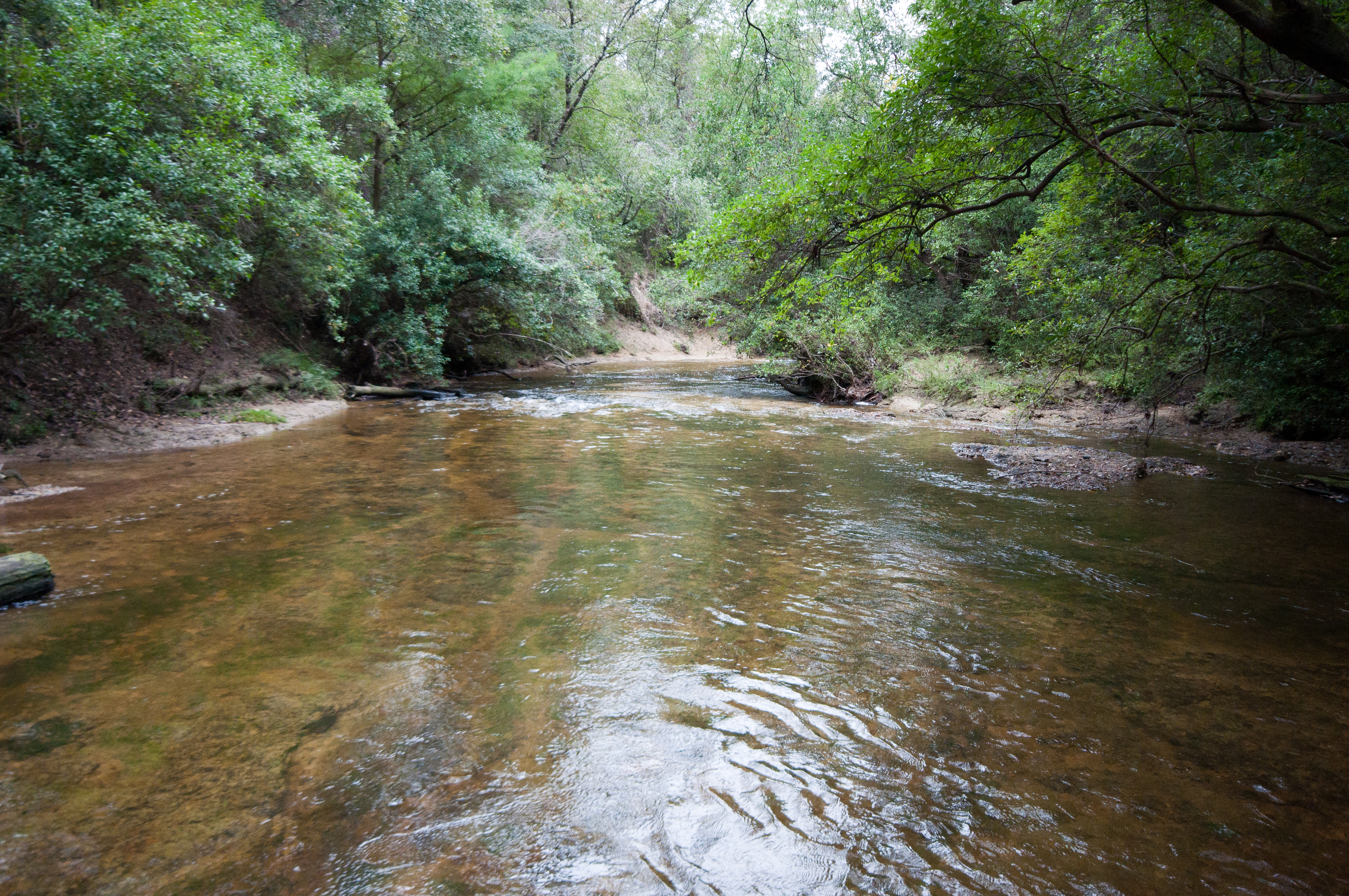
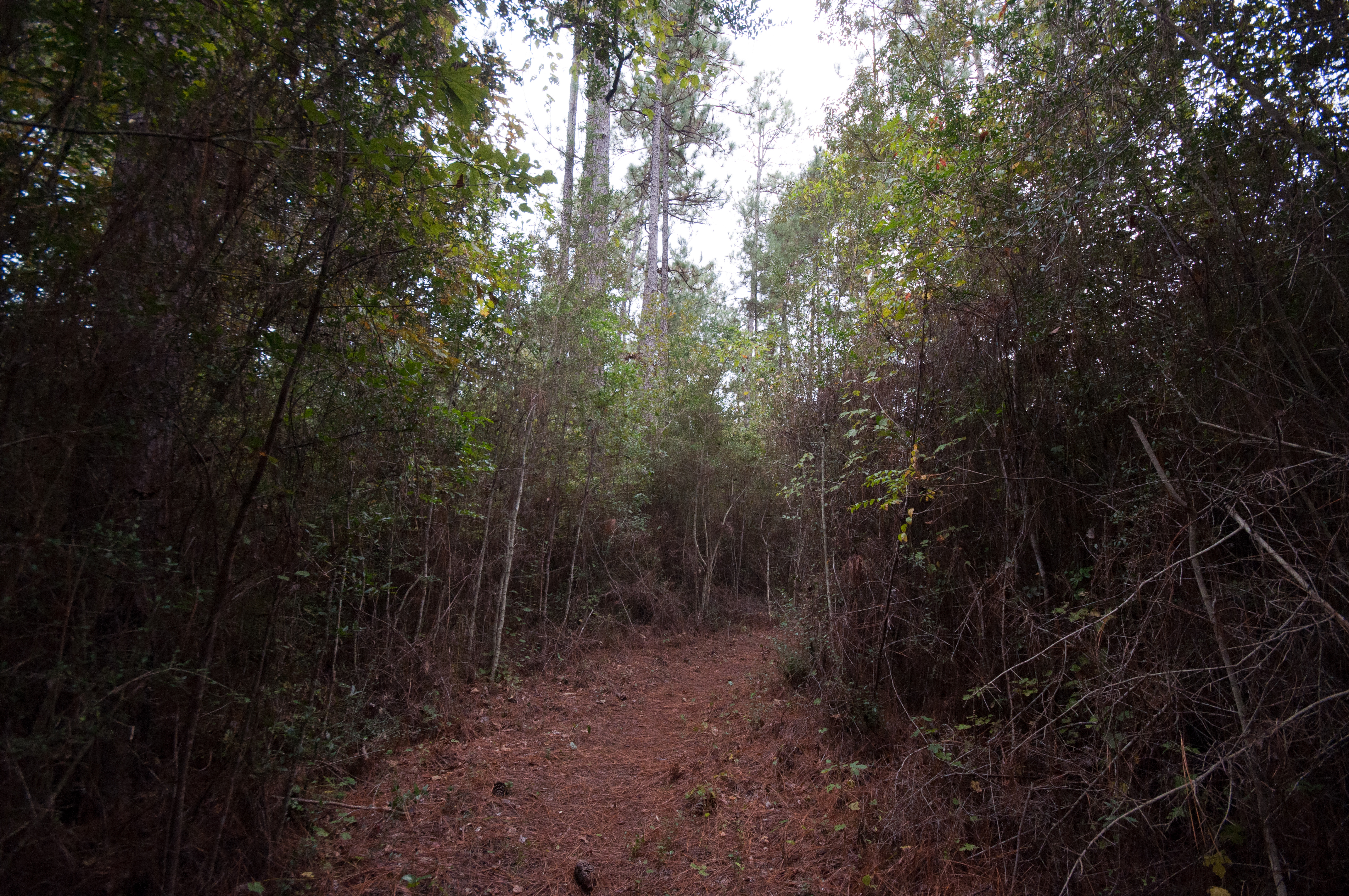
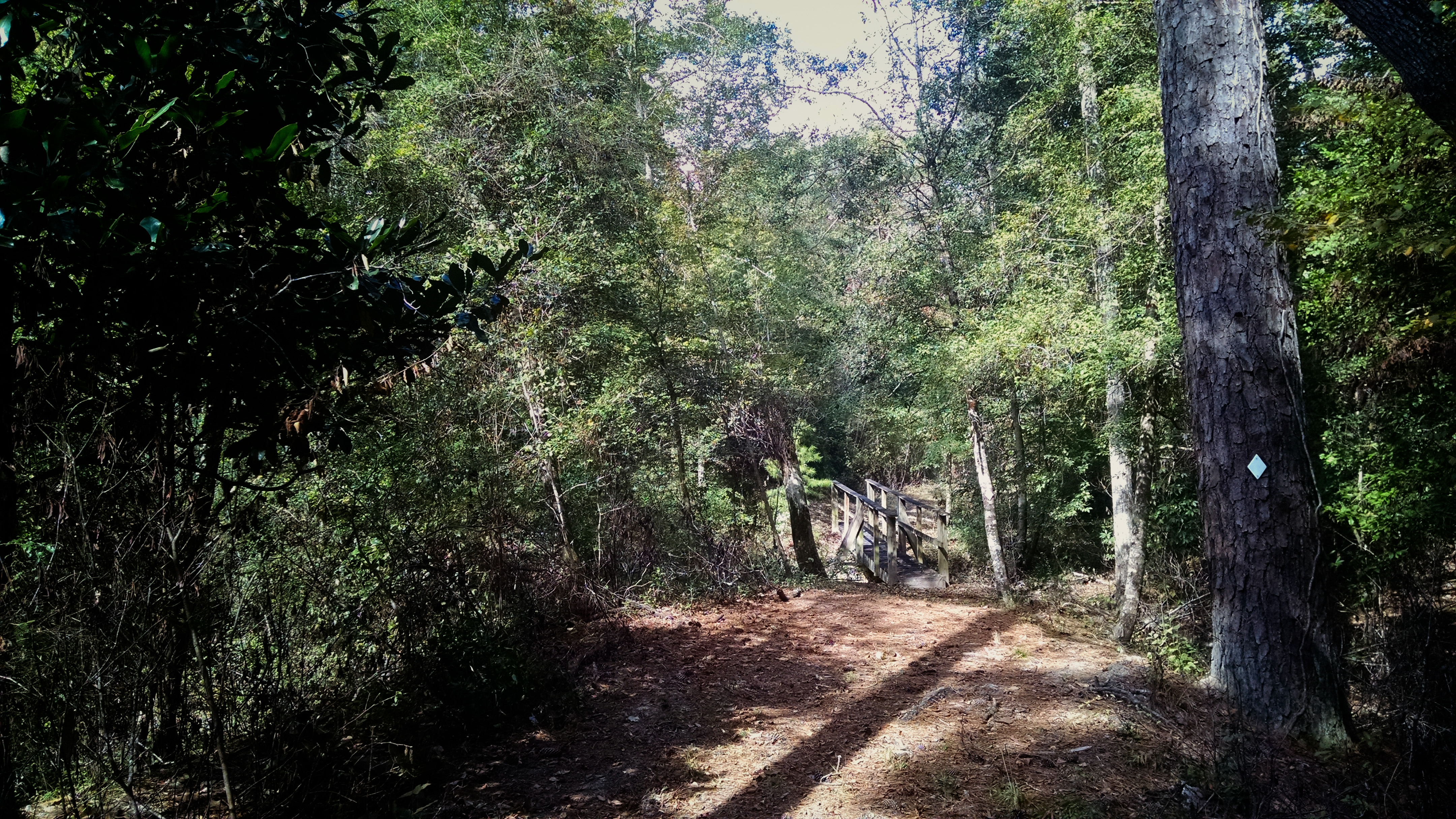
Black Creek Trail

Black Creek Trail
Black Creek Trail
Black Creek Trail
Black Creek Trail
Black Creek Trail
Black Creek Trail

Black Creek Trail
Black Creek Trail
Black Creek Trail
Black Creek Trail

DeSoto-038
DeSoto-034
DeSoto-037
DeSoto-042
Topographic Map of Old Hwy 49 E, Hattiesburg, MS, USA
Find elevation by address:

Places near Old Hwy 49 E, Hattiesburg, MS, USA:
319 Geiger Lake Rd
319 Geiger Lake Rd
85 Mclaurin Rd
9 R S Seay Rd, Hattiesburg, MS, USA
Forrest County
6194 Old River Rd
Old River Road
Old River Rd, Petal, MS, USA
MS-13, Lumberton, MS, USA
Perry County
201 F S 382
Sullivan Dr, Hattiesburg, MS, USA
21 Salbeka Crossing
31 Kate Travis Dr, Petal, MS, USA
Purvis
200 Main St
501 Main St
71 Morgan Ln
Sunrise Rd, Petal, MS, USA
138 Lloyd Ladner Rd
Recent Searches:
- Elevation of Corso Fratelli Cairoli, 35, Macerata MC, Italy
- Elevation of Tallevast Rd, Sarasota, FL, USA
- Elevation of 4th St E, Sonoma, CA, USA
- Elevation of Black Hollow Rd, Pennsdale, PA, USA
- Elevation of Oakland Ave, Williamsport, PA, USA
- Elevation of Pedrógão Grande, Portugal
- Elevation of Klee Dr, Martinsburg, WV, USA
- Elevation of Via Roma, Pieranica CR, Italy
- Elevation of Tavkvetili Mountain, Georgia
- Elevation of Hartfords Bluff Cir, Mt Pleasant, SC, USA